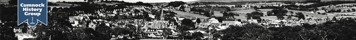
Places
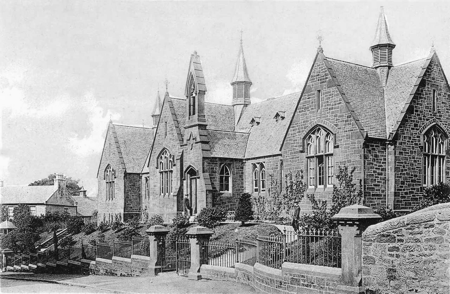
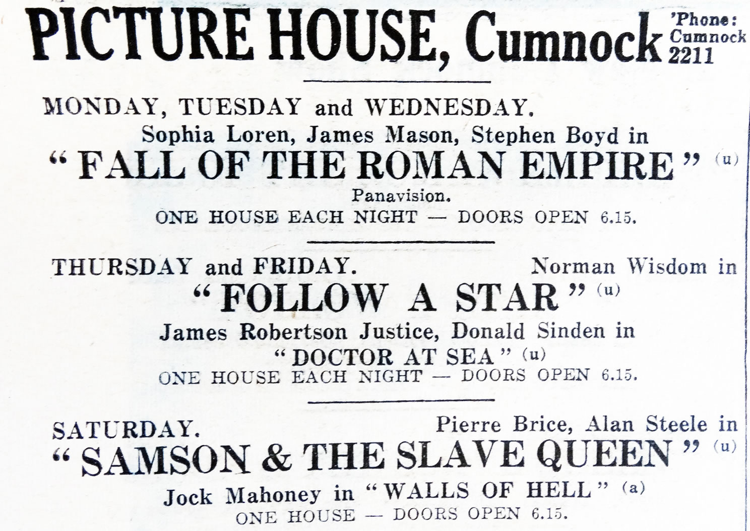
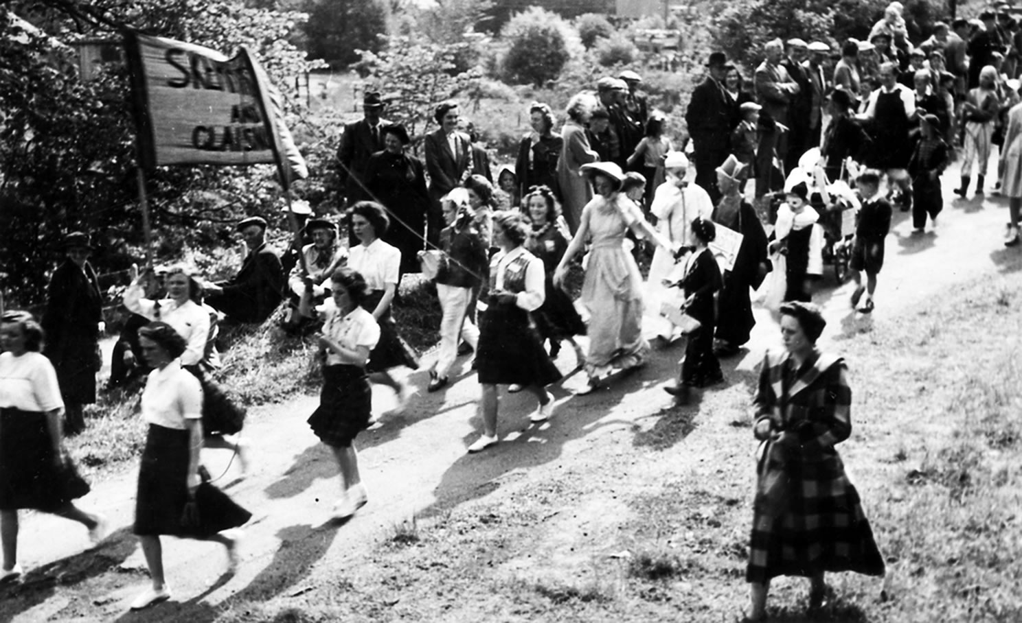
Photos of Cumnock by areas.
These galleries work best on a tablet or PC - they will be small on a phone.
Click on the full-screen icon  for a bigger view.
The photos in each area are not in any particular order and dates are by decade.
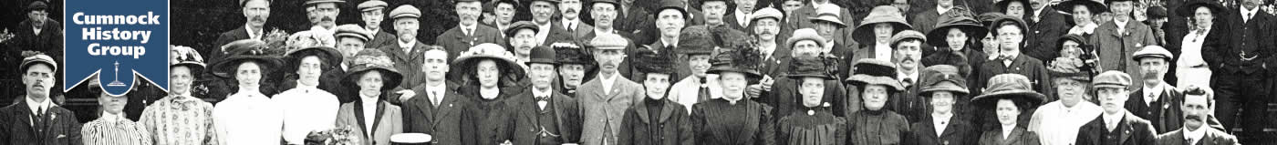
Our thanks to the many people who have donated photos from their personal collections, the Baird Institute and the Cumnock Chronicle for allowing access to their archives.
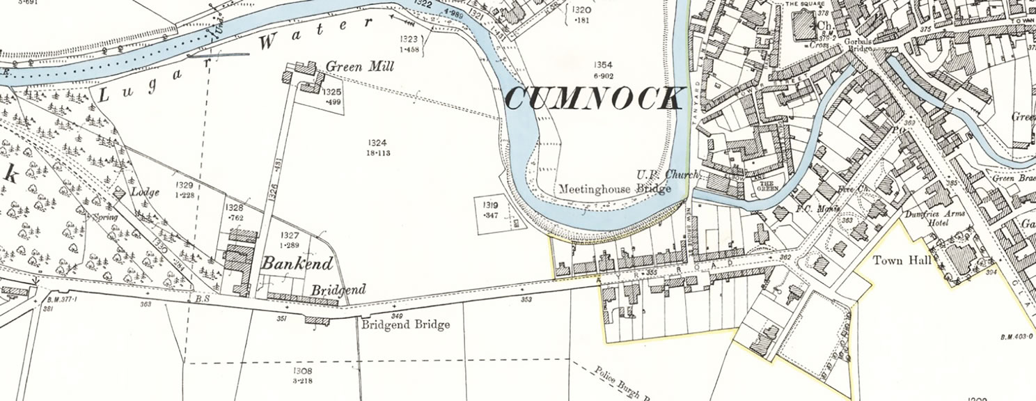
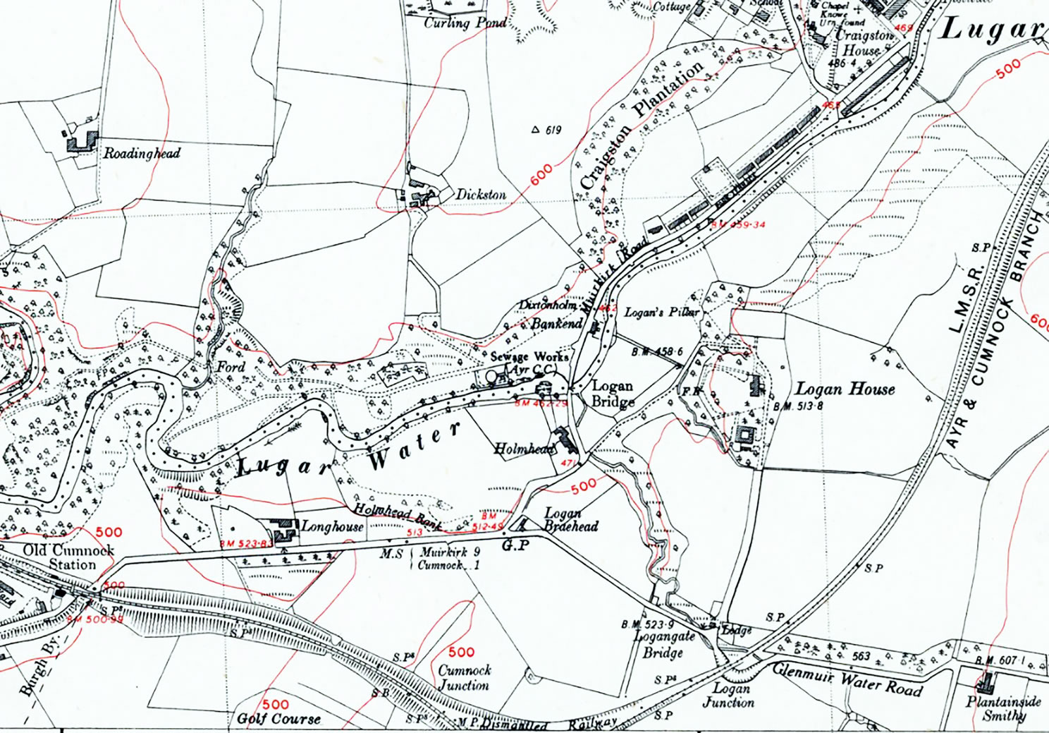
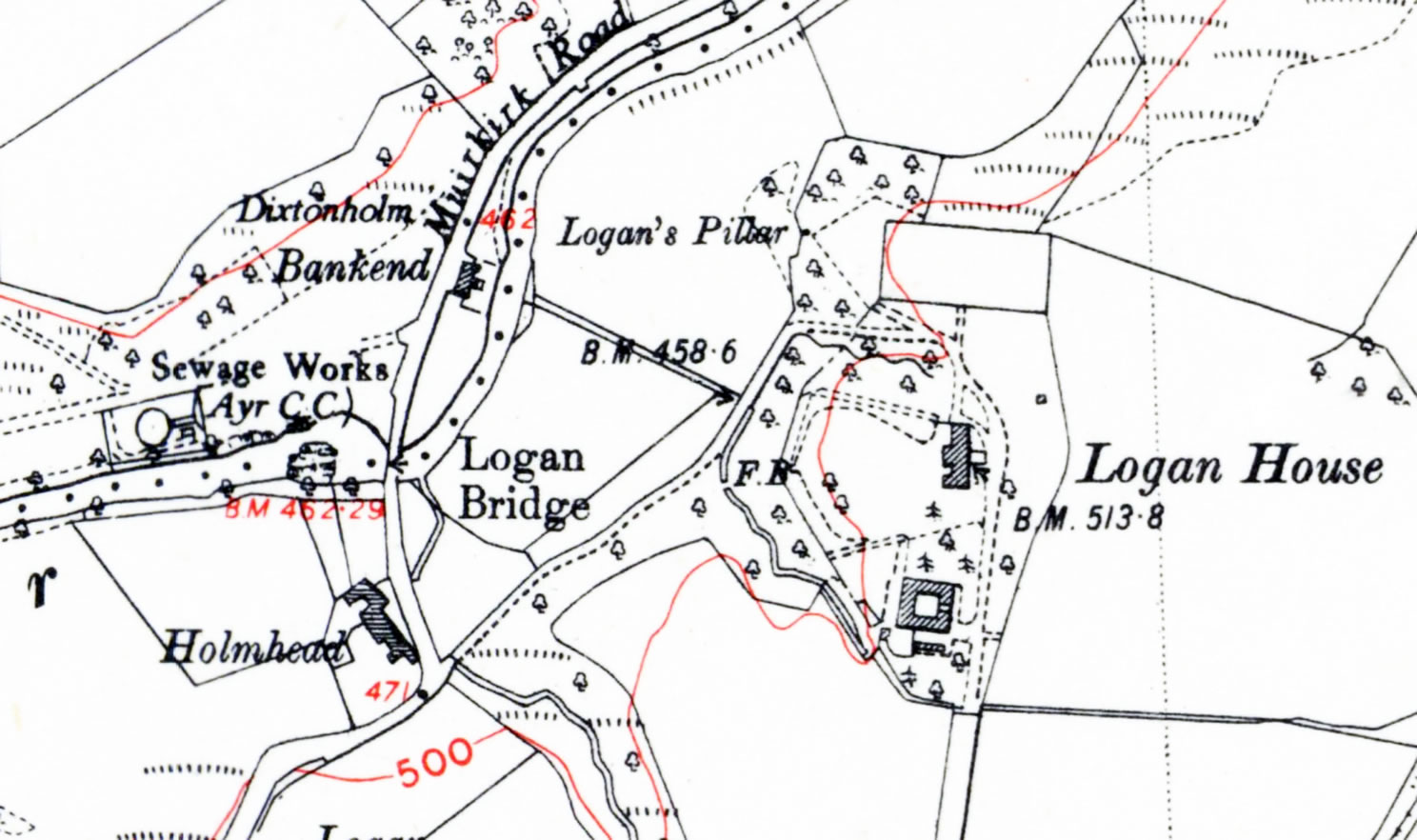
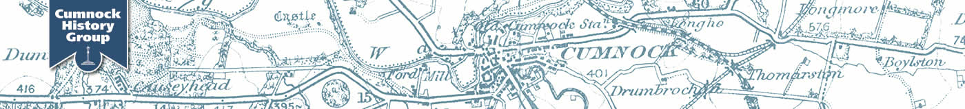
Maps reproduced with the permission of the National Library of Scotland HERE
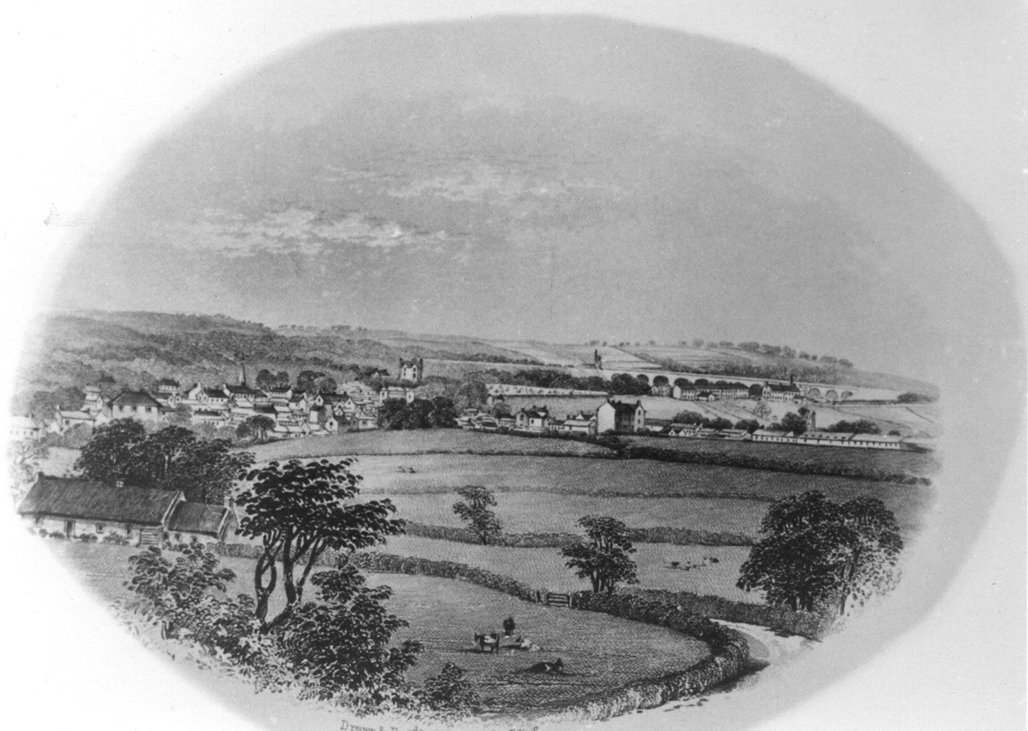
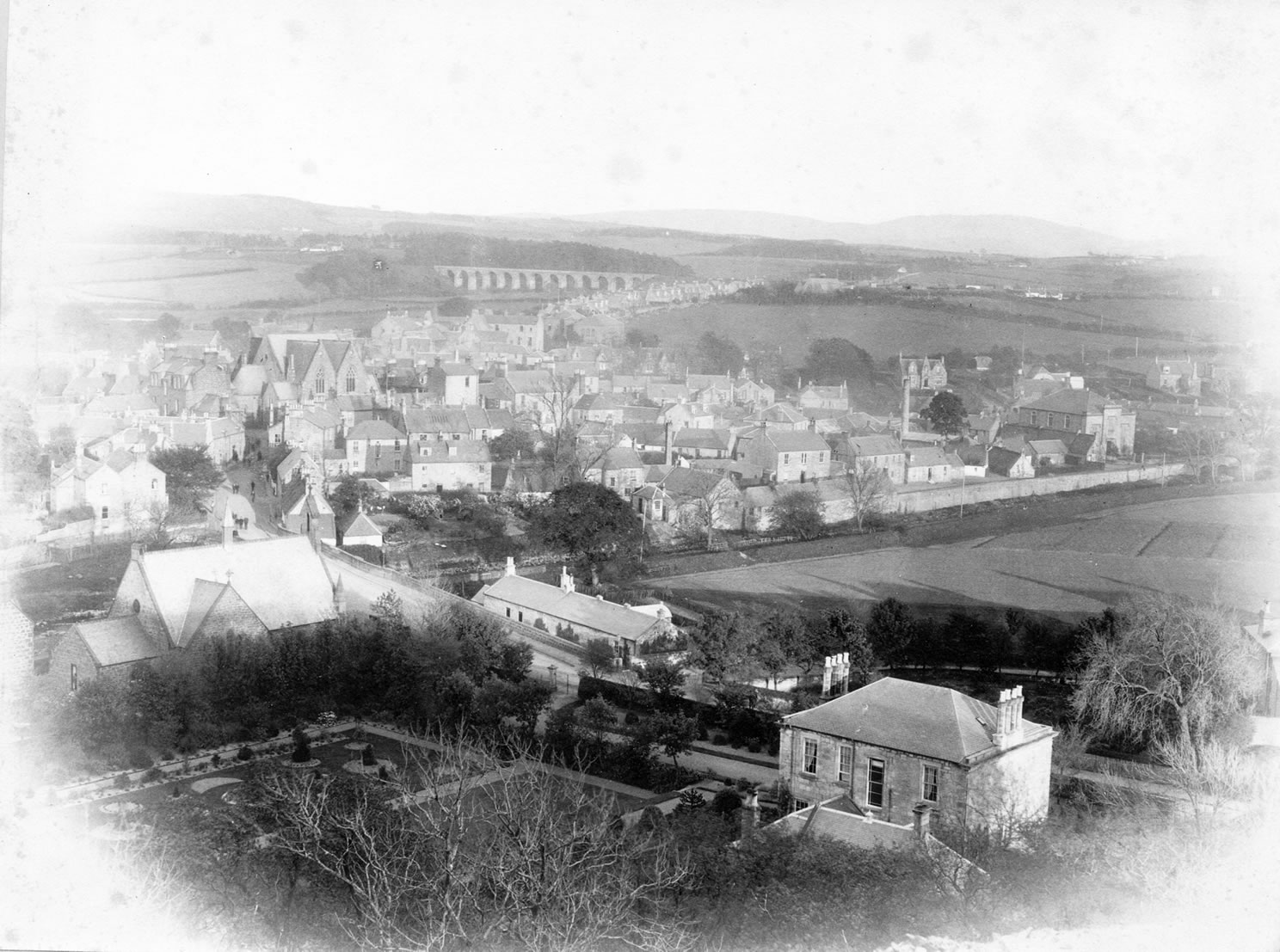
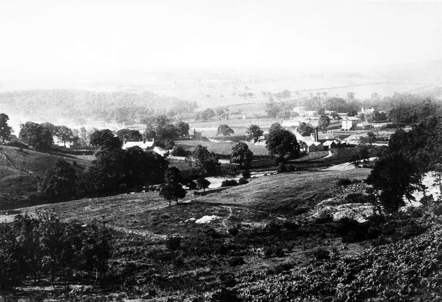
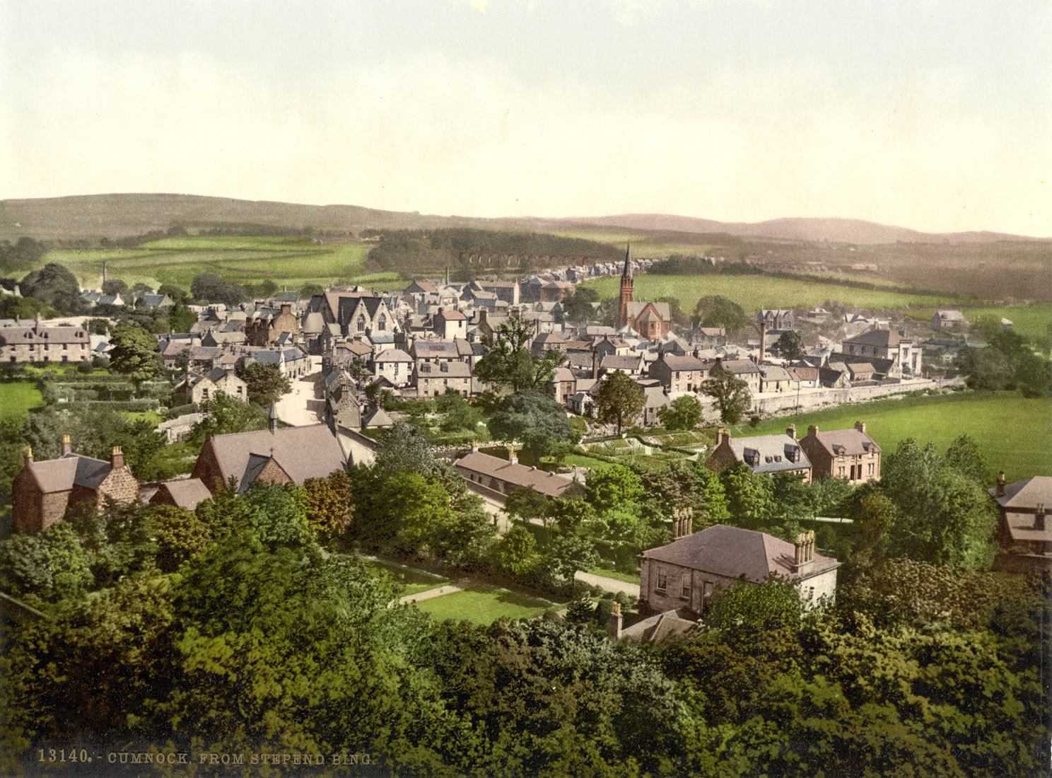
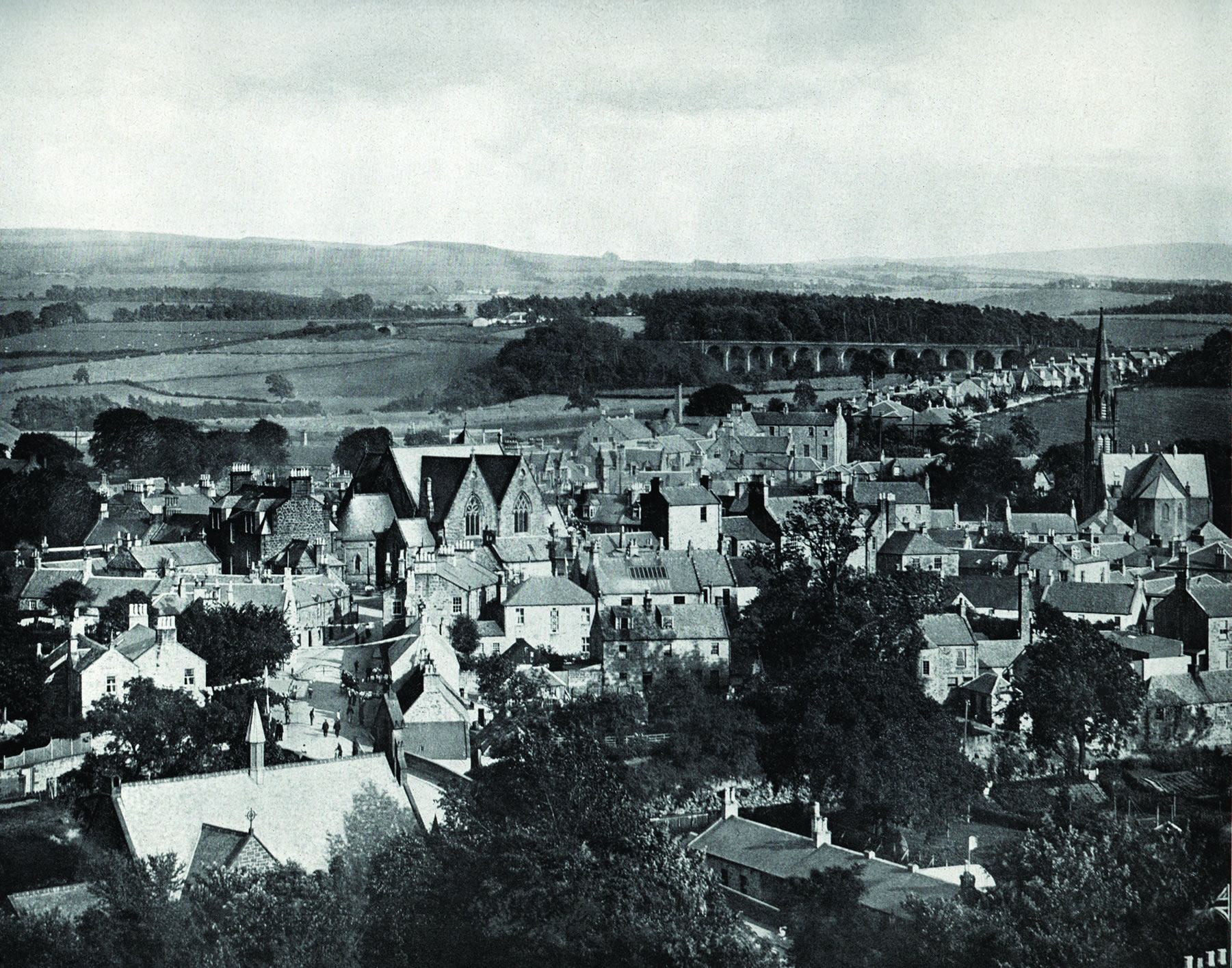
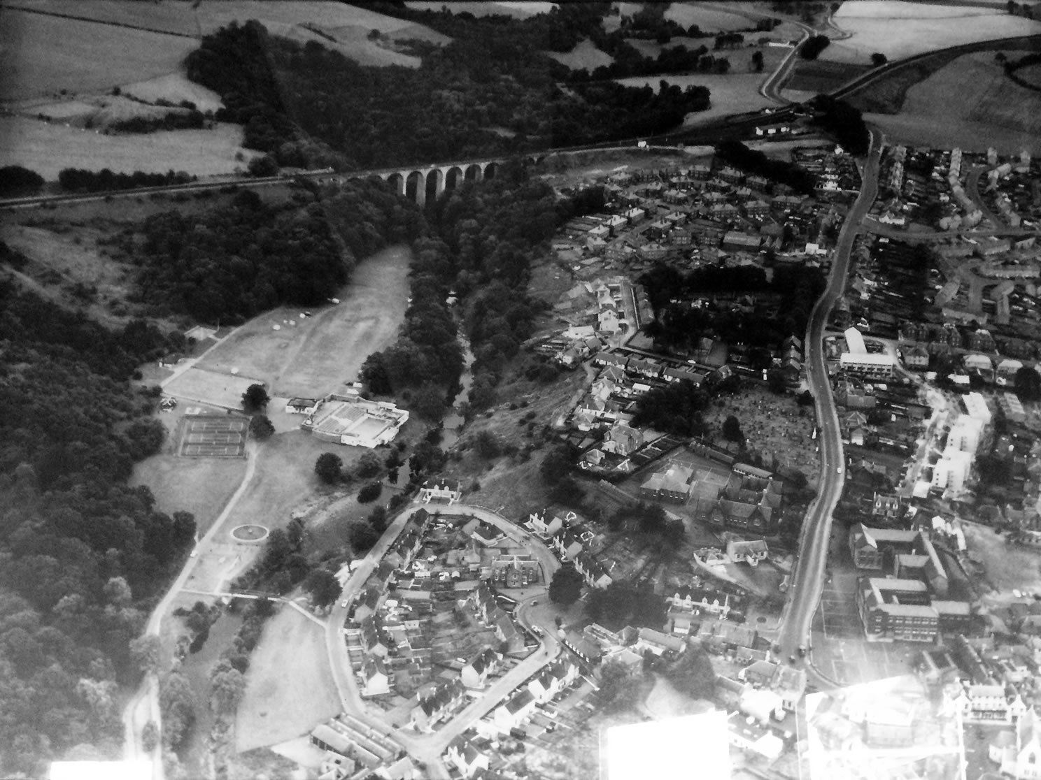
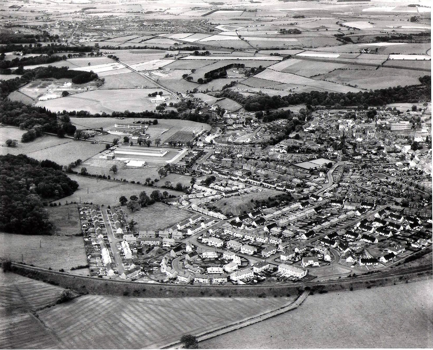
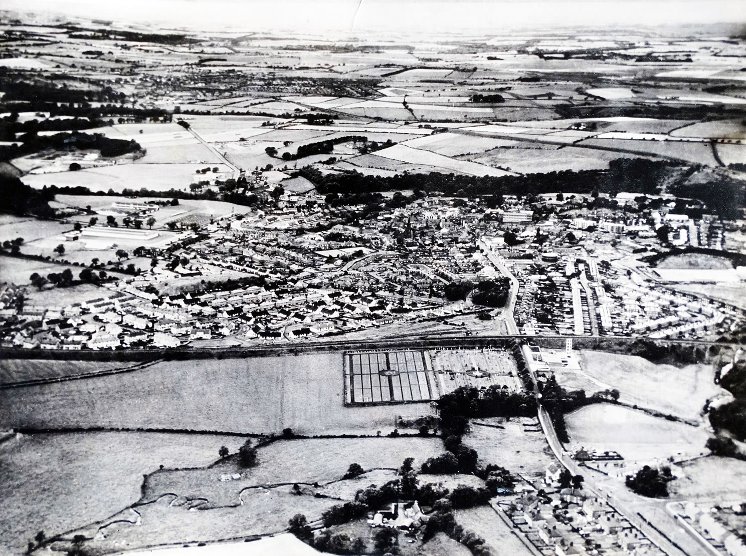
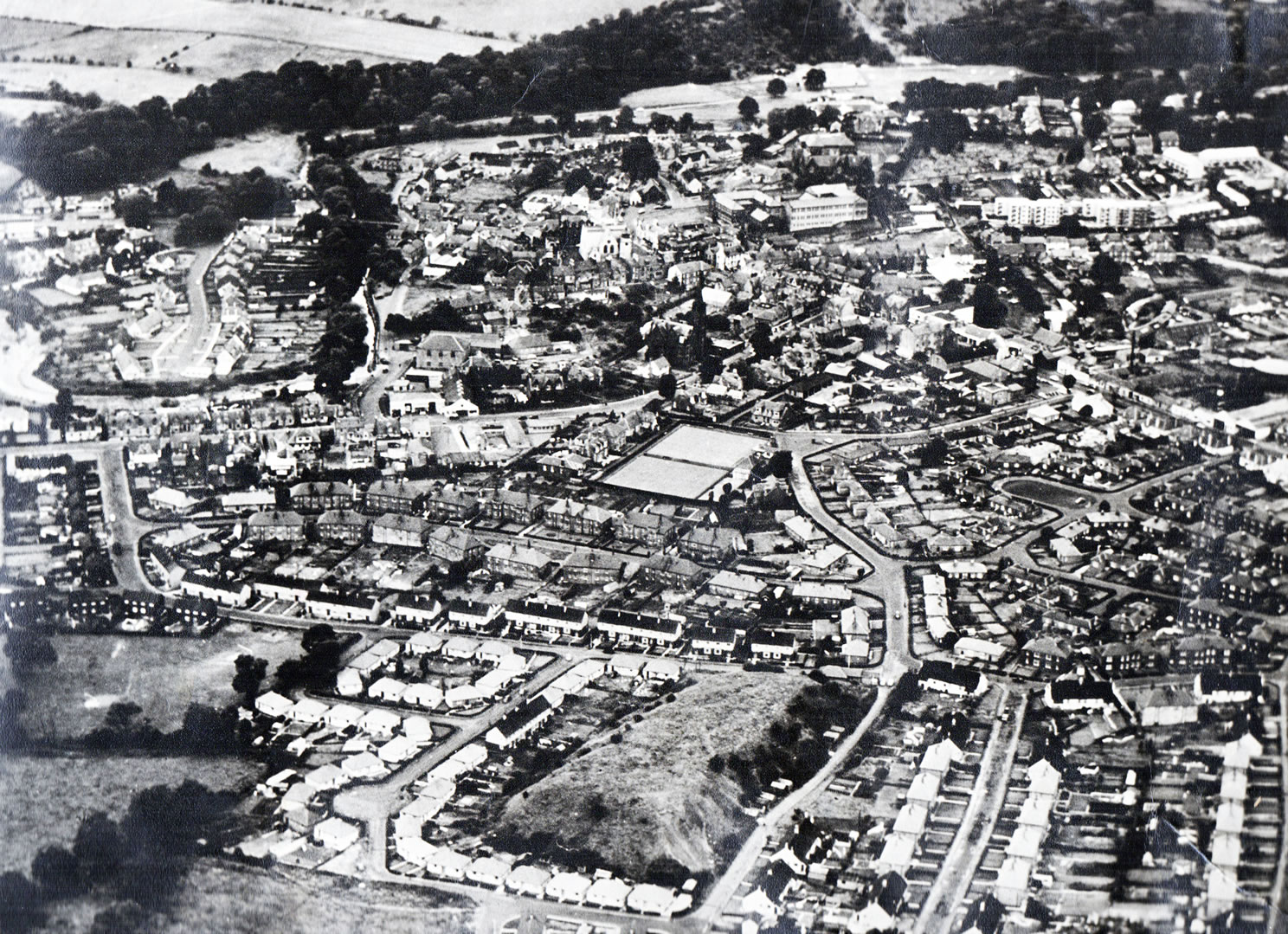
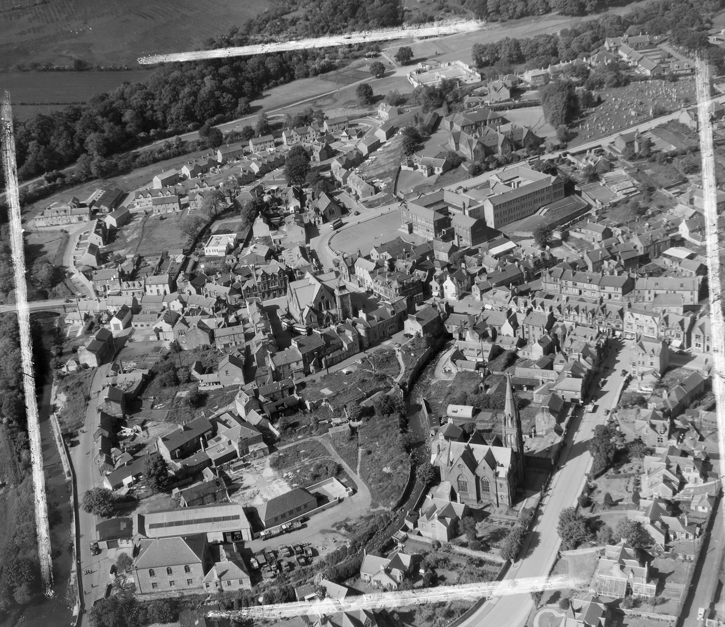
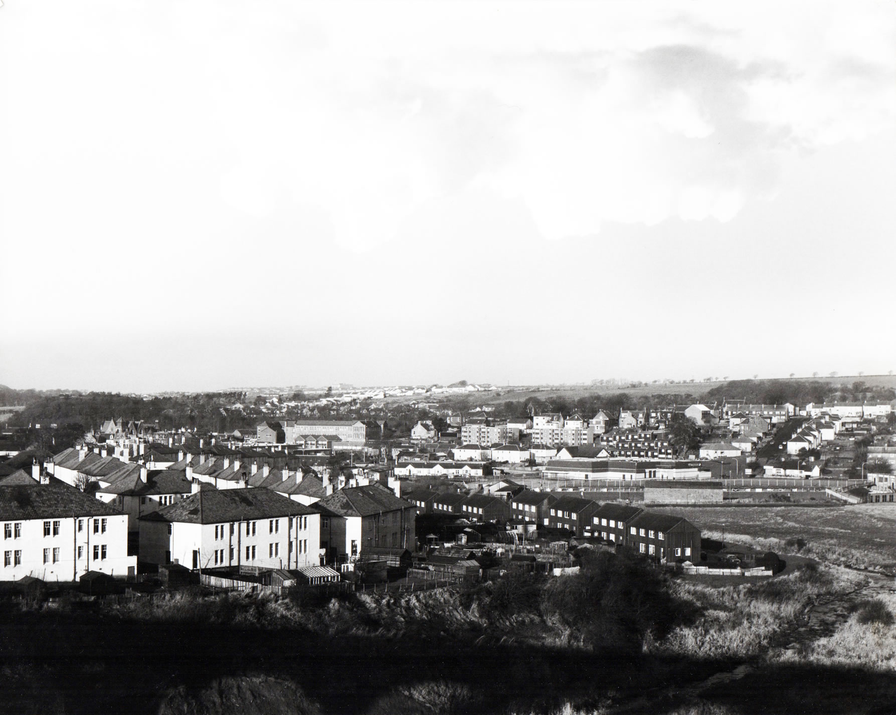
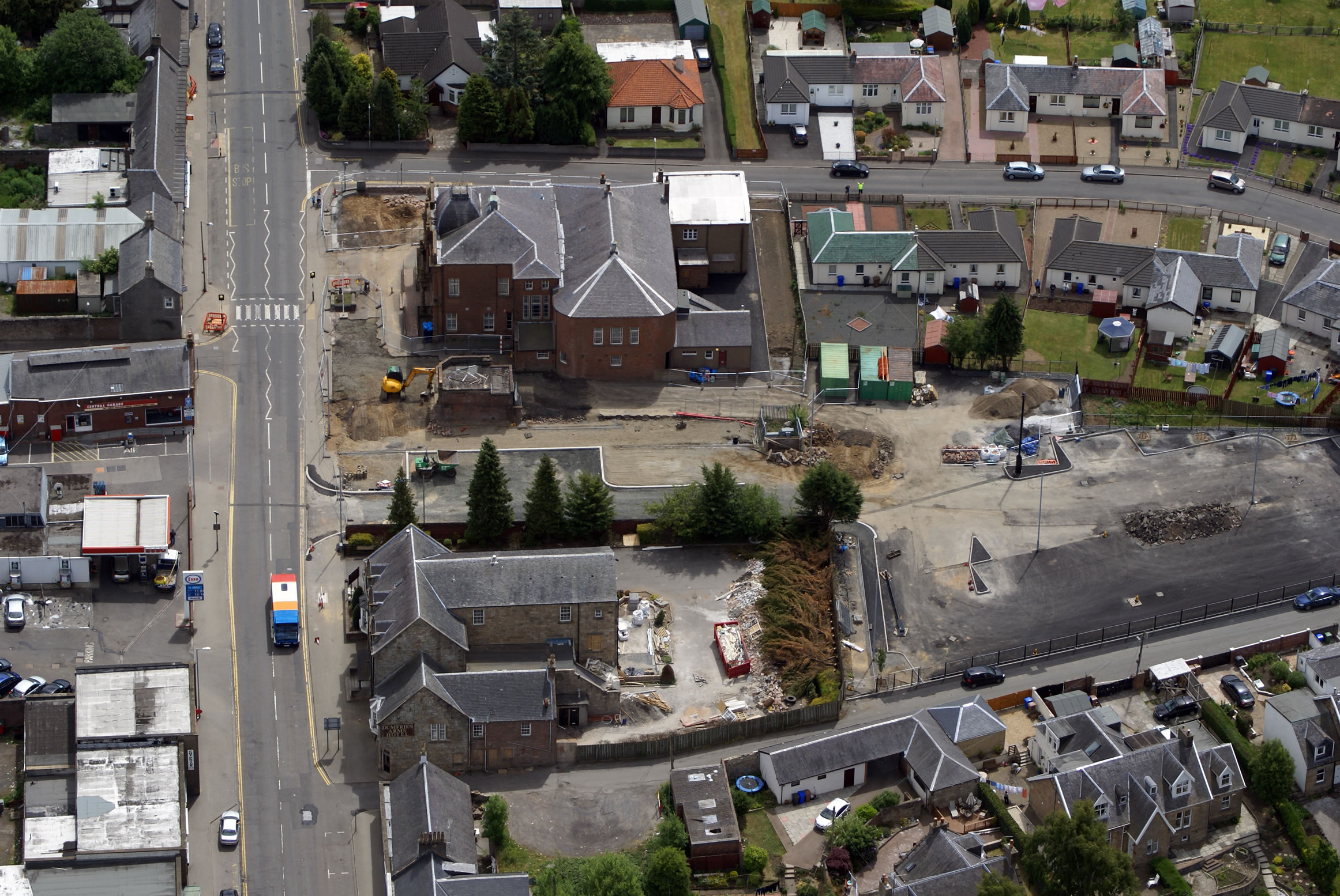
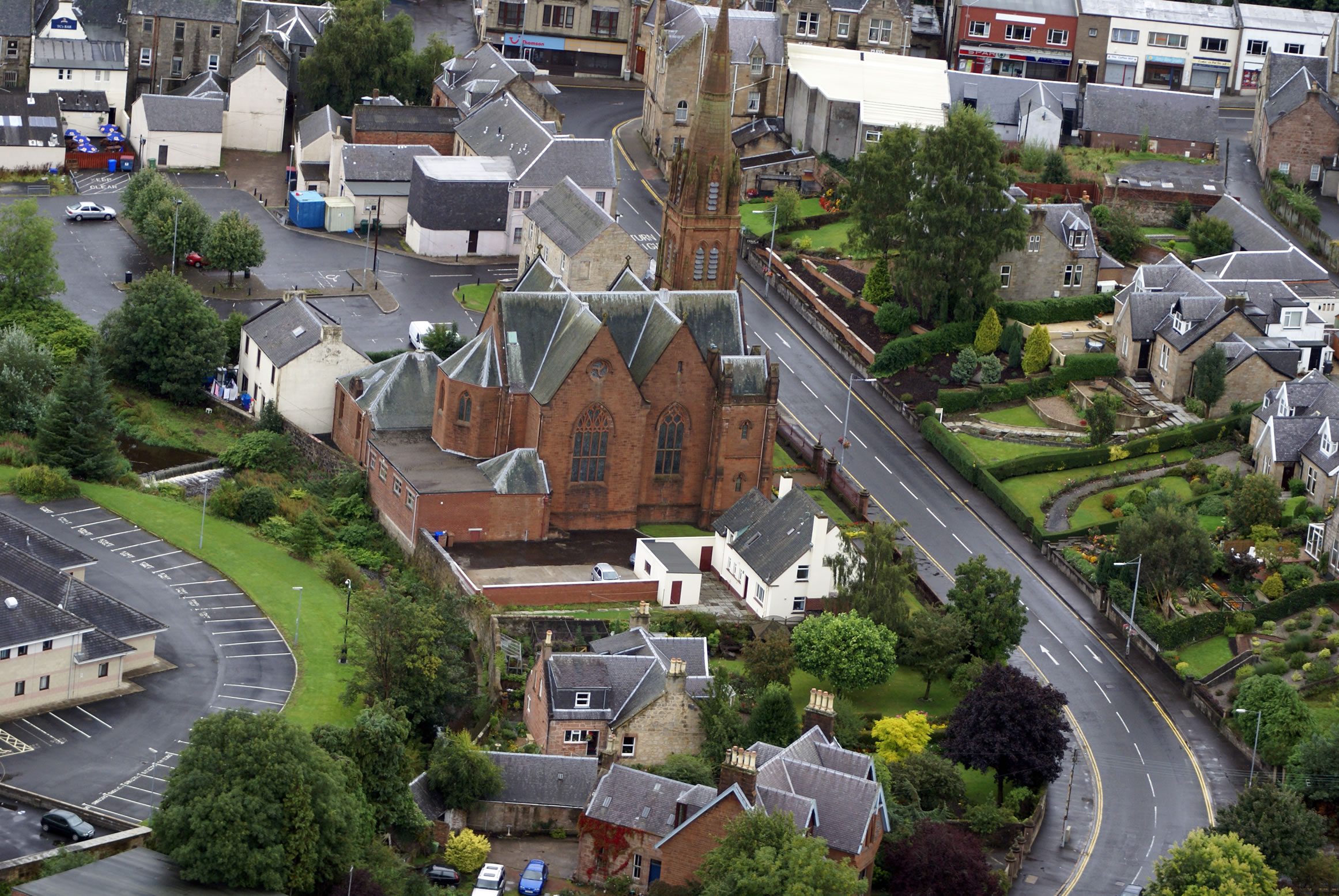
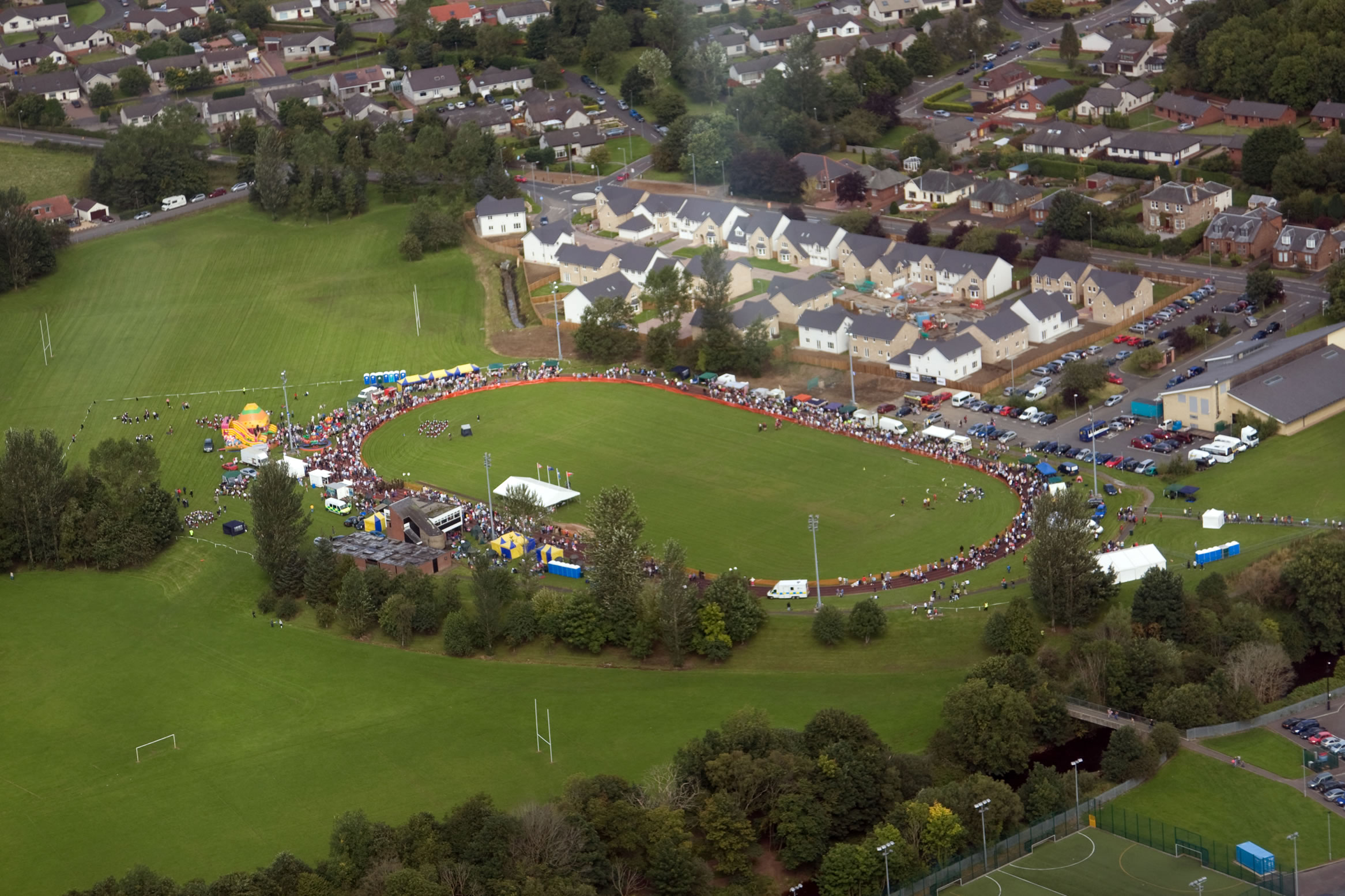
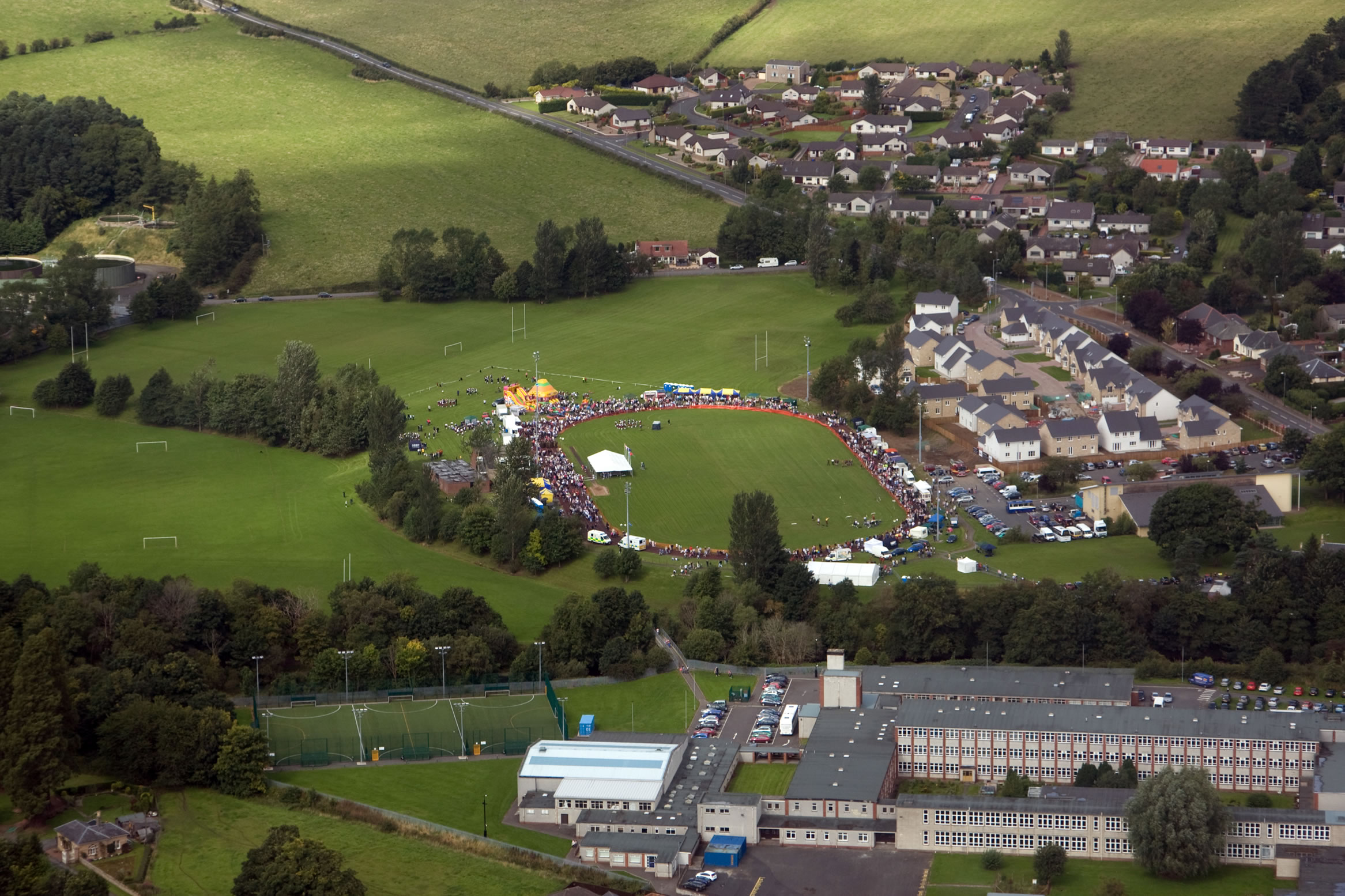
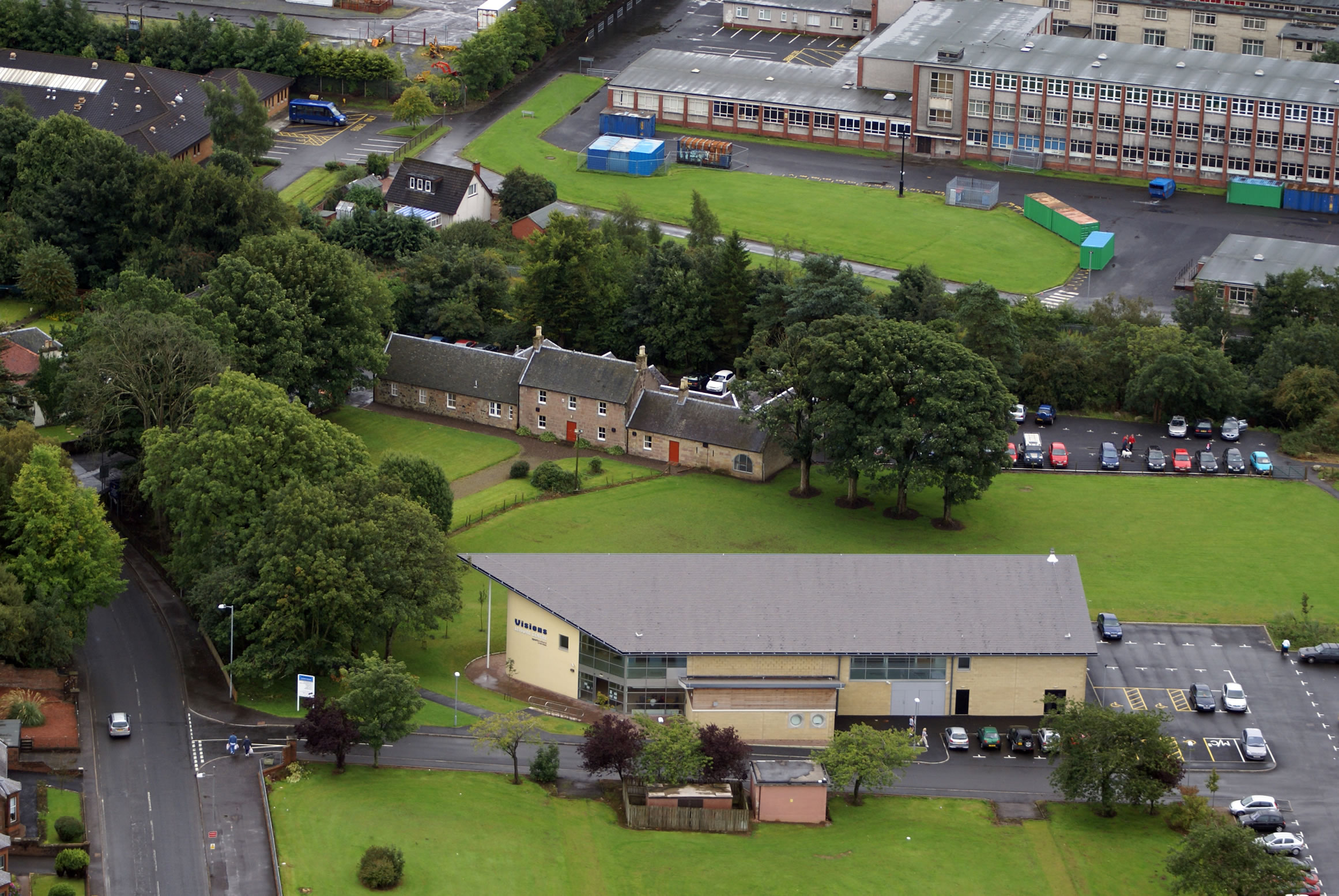
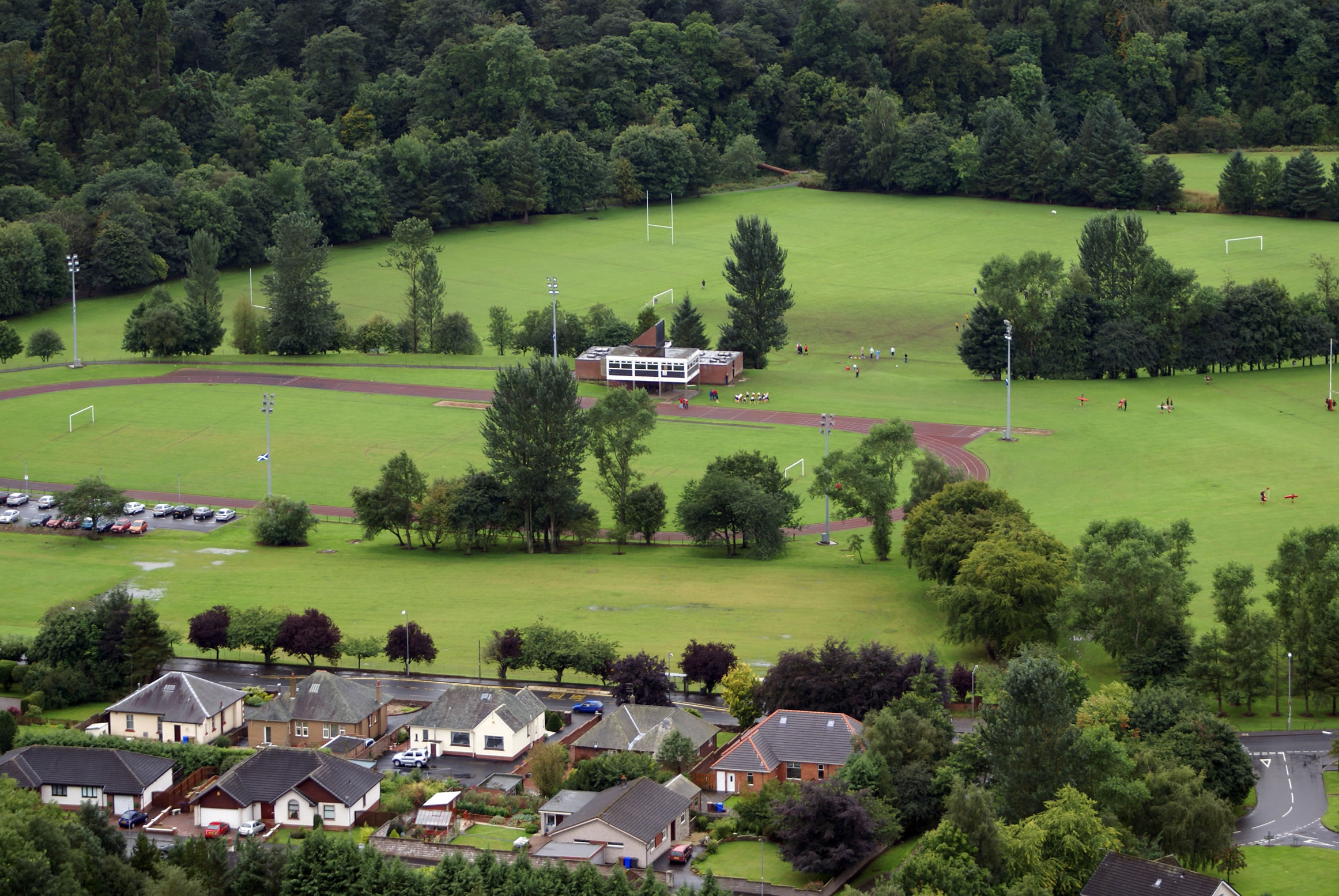
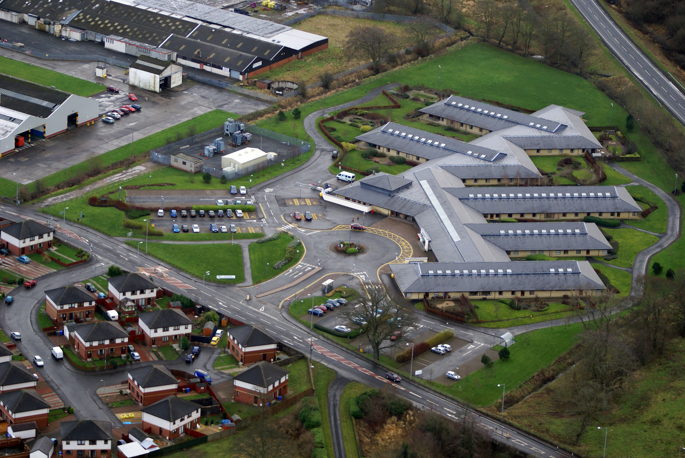
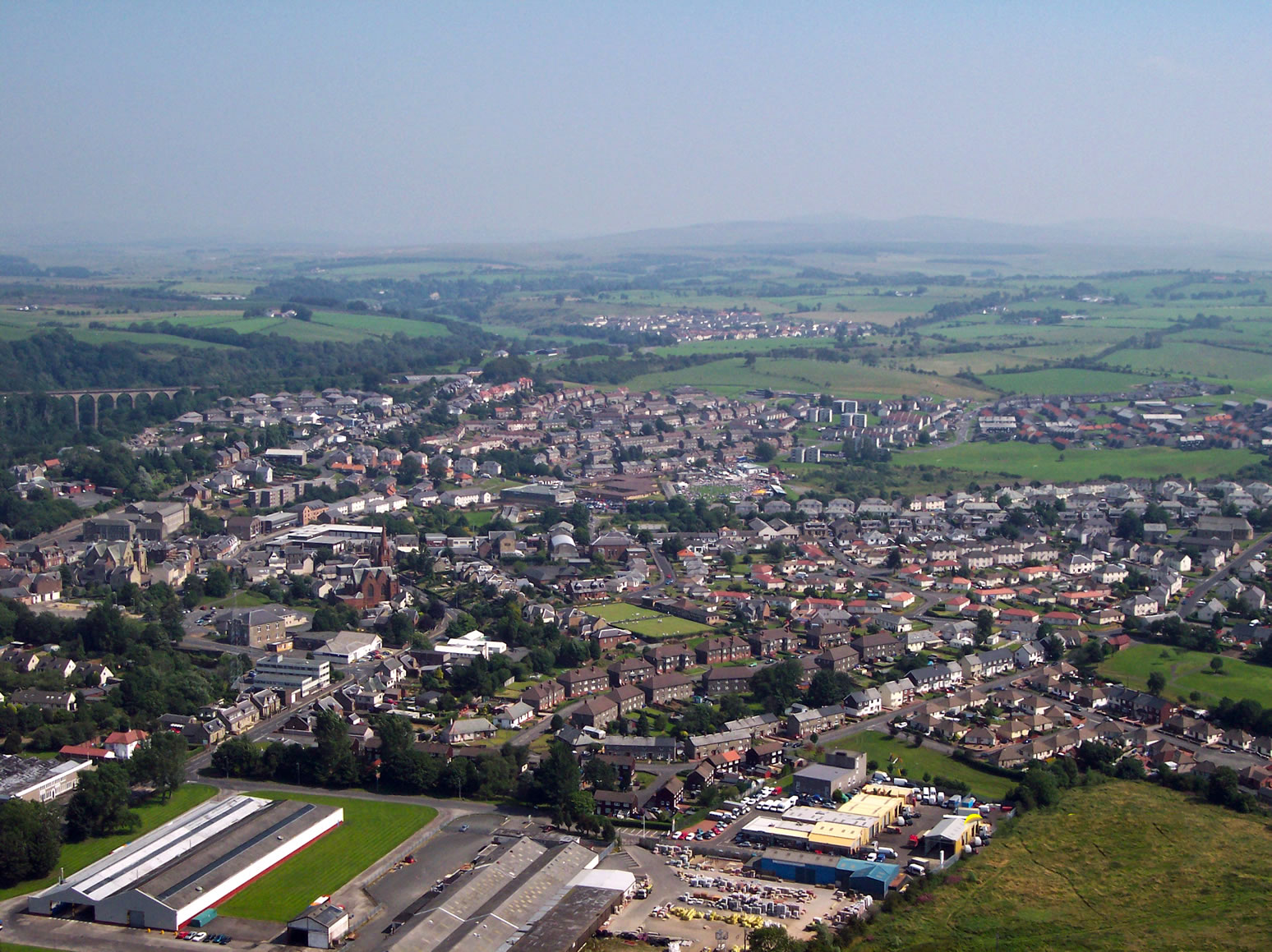
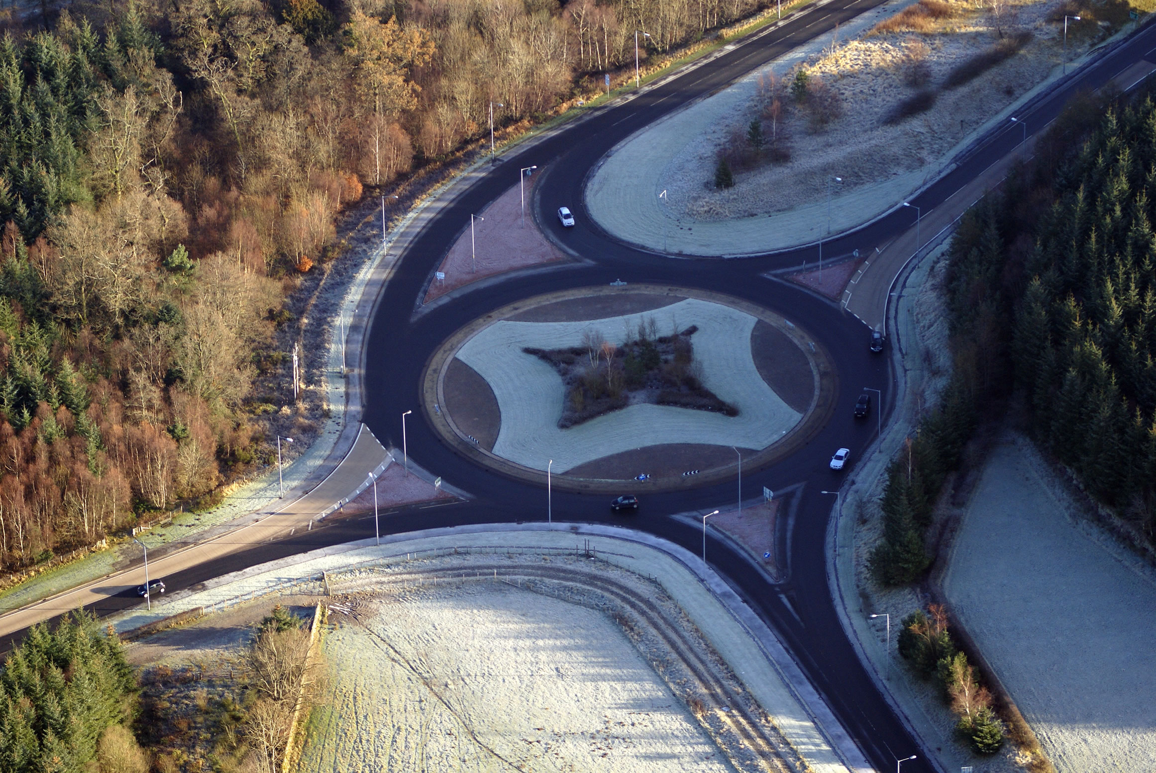
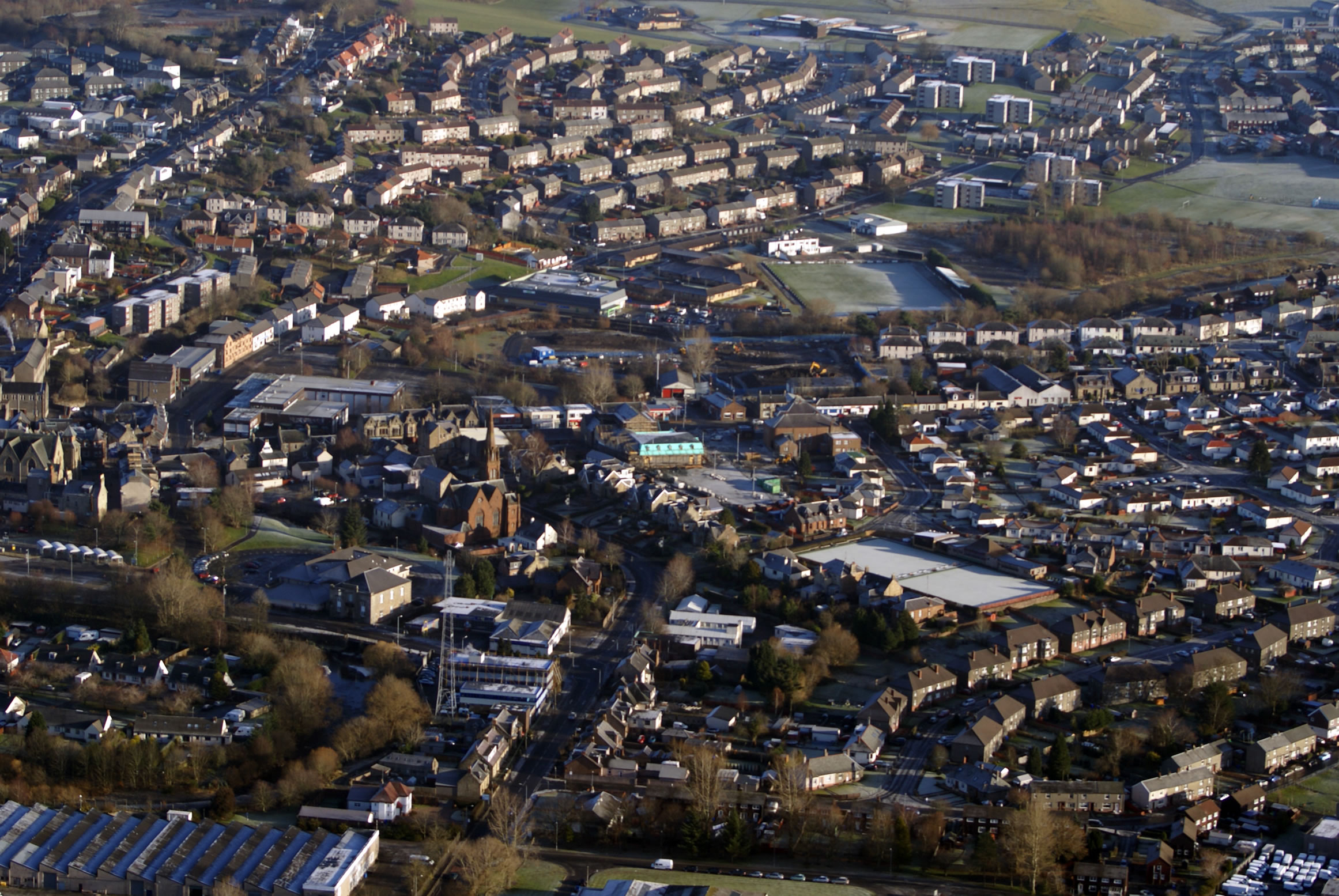
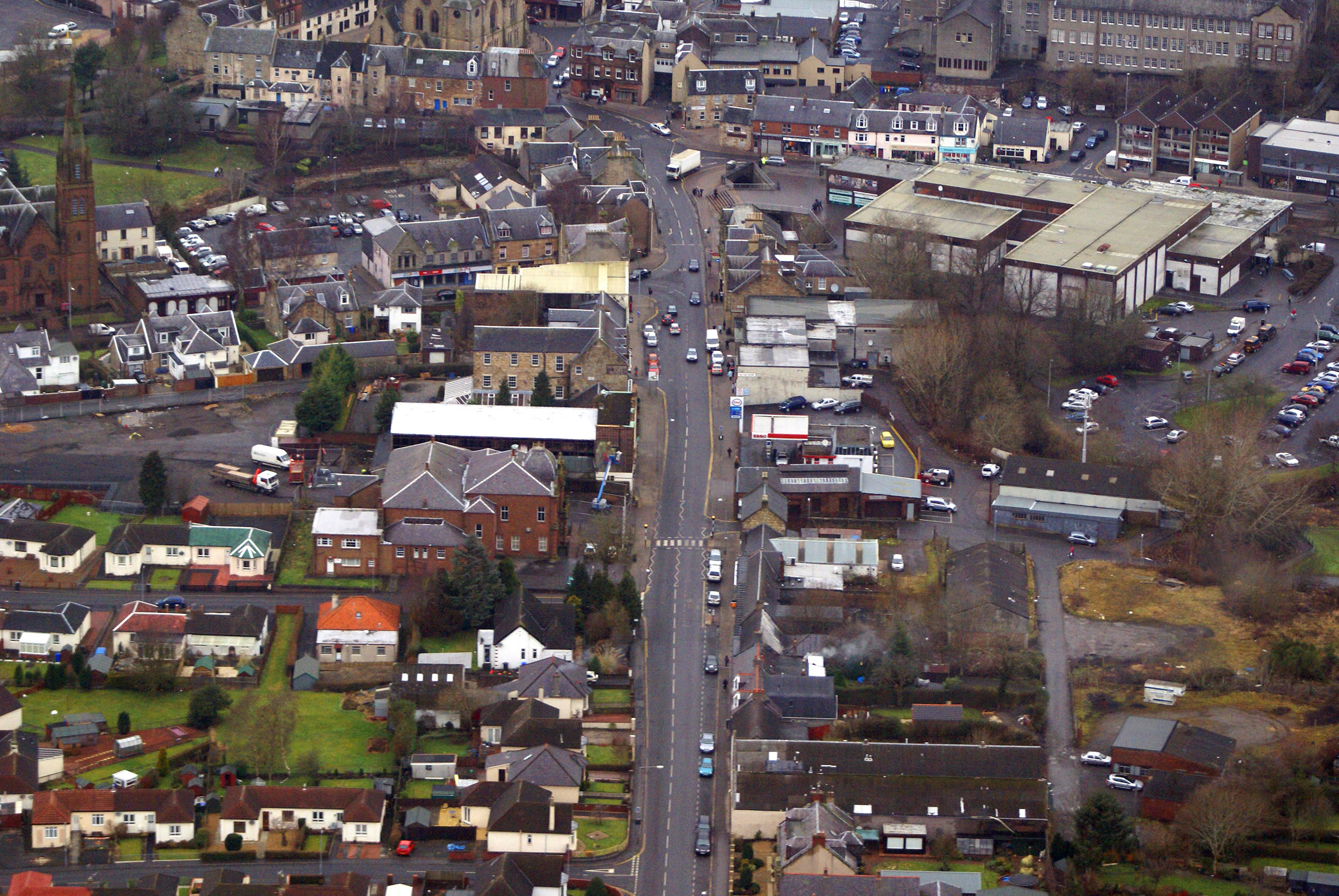
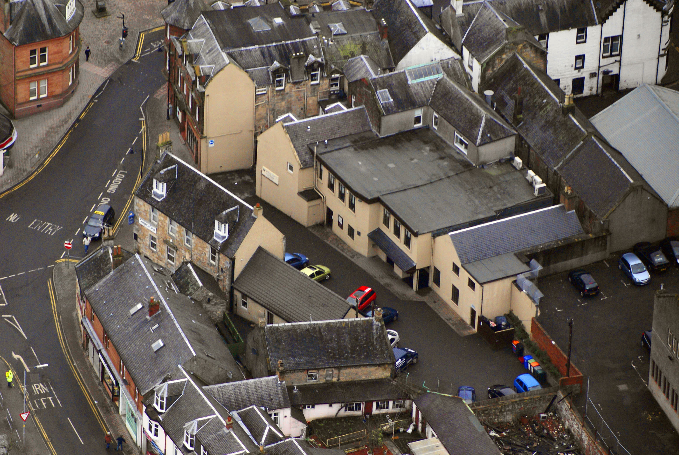
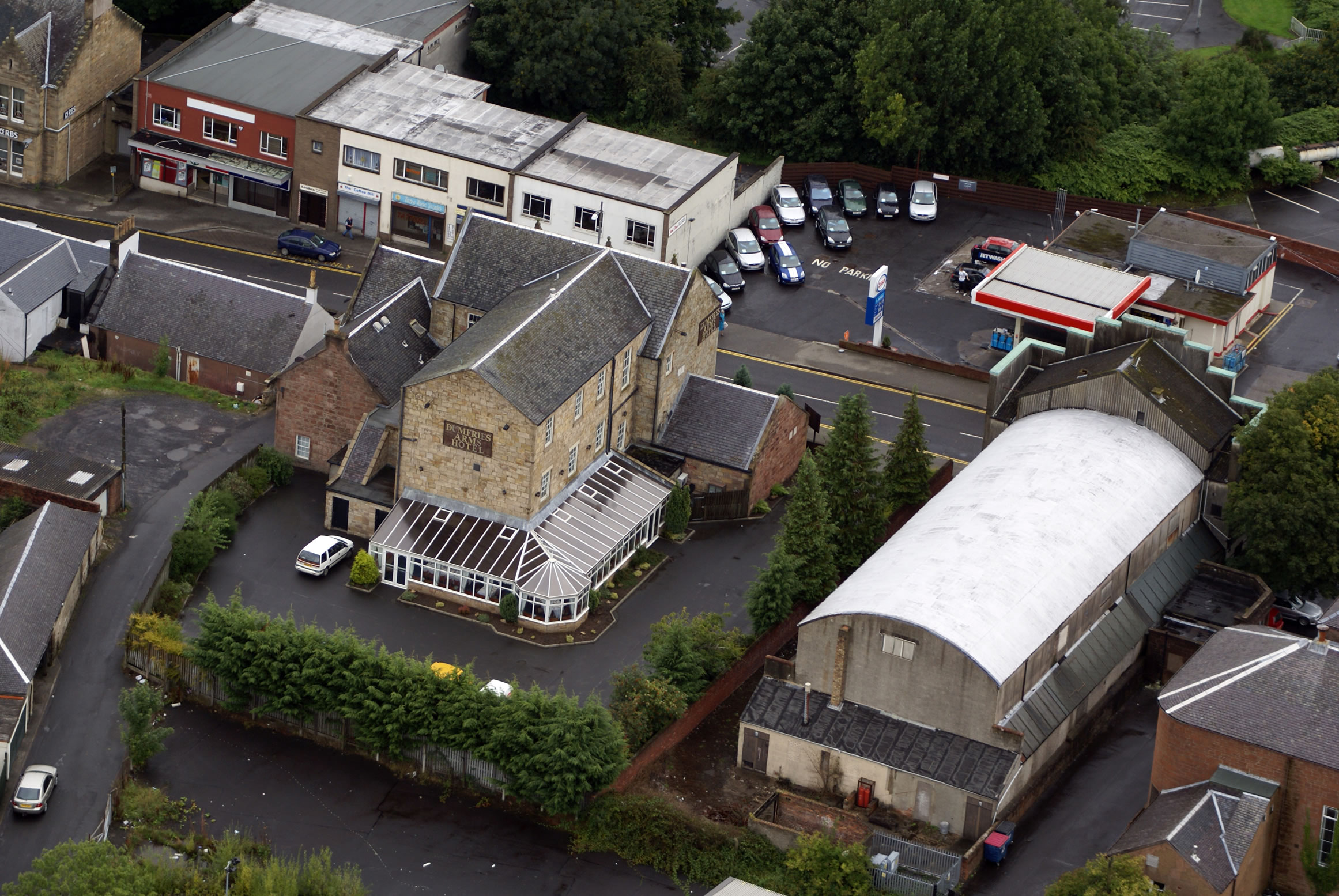
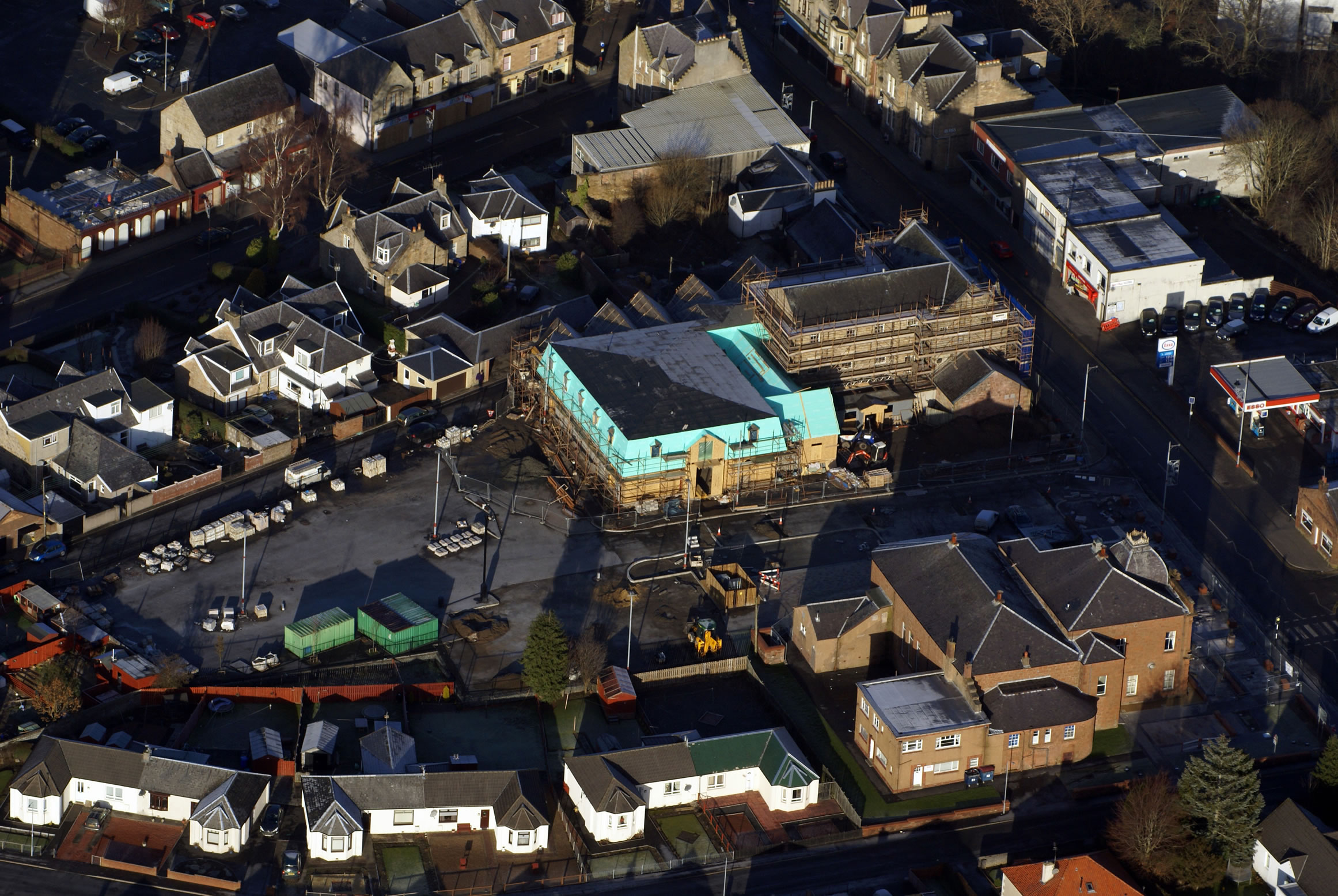
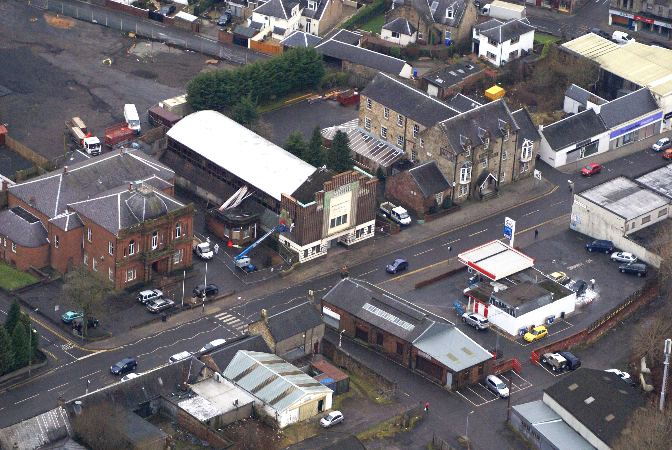
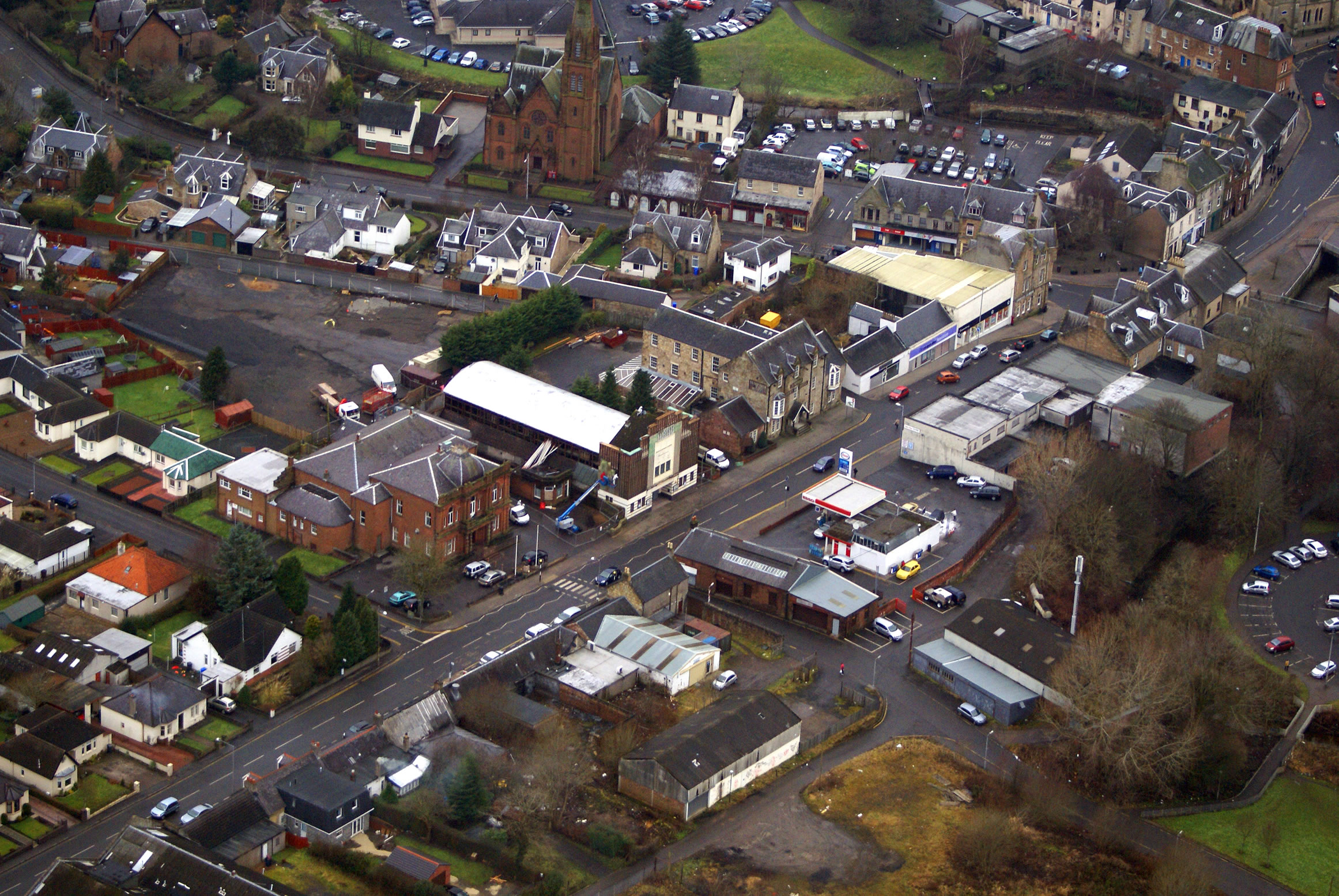
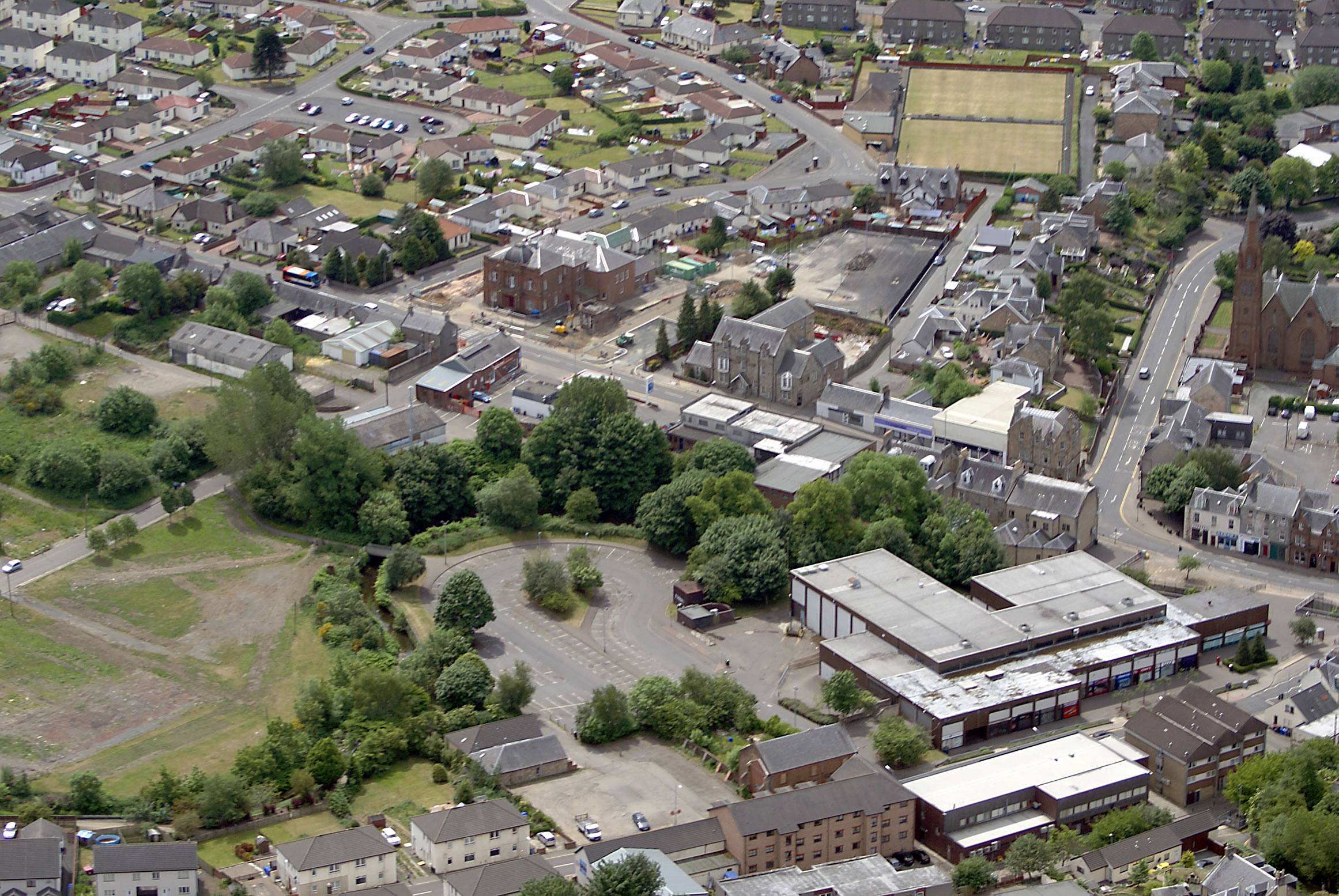
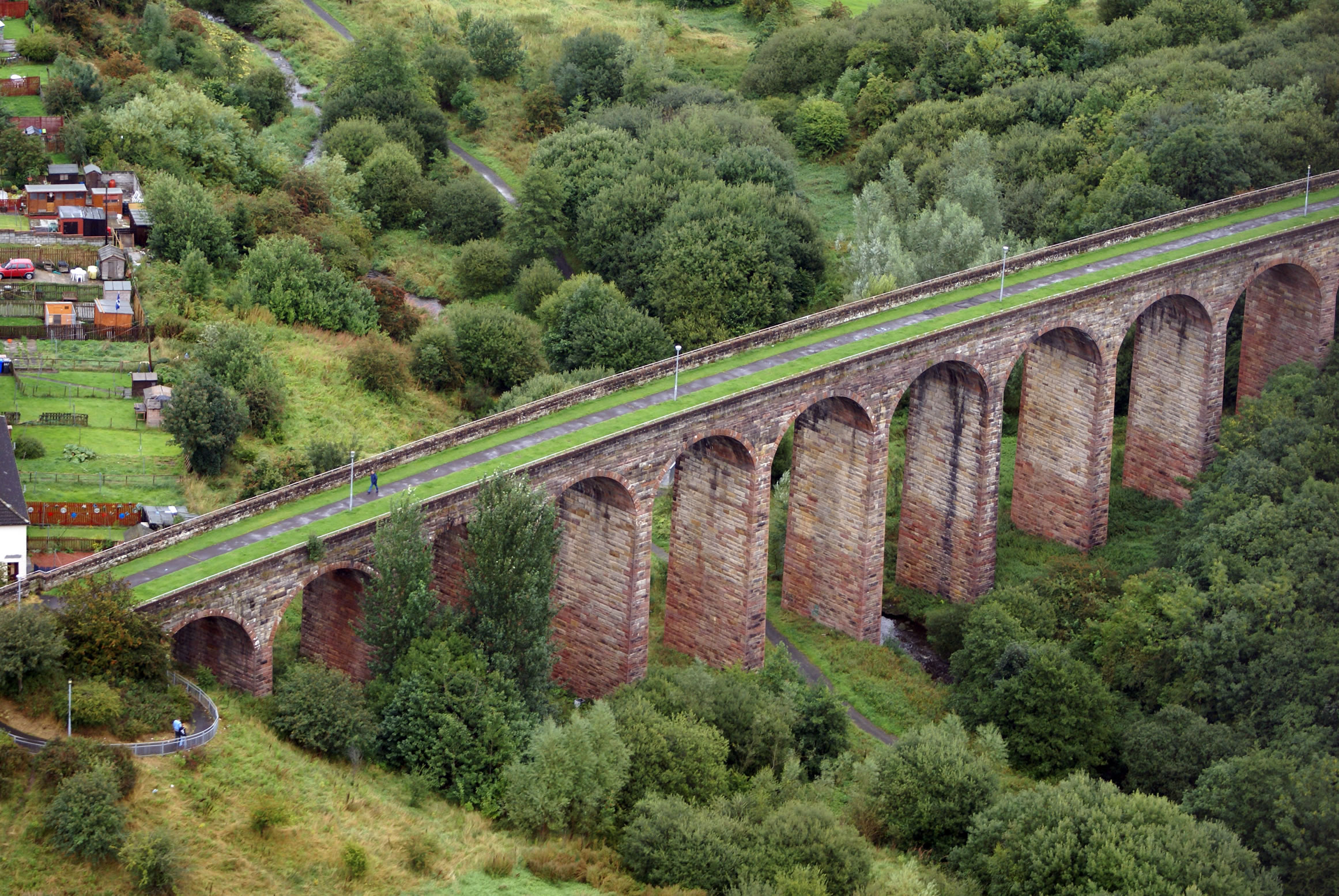
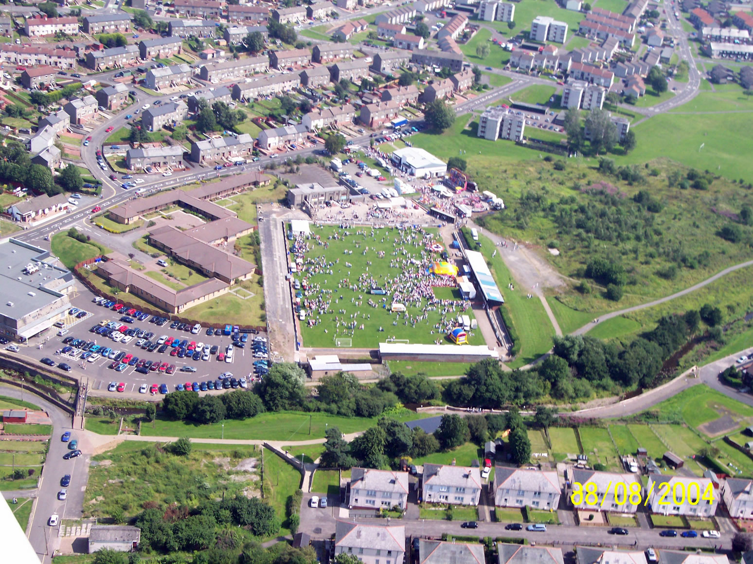
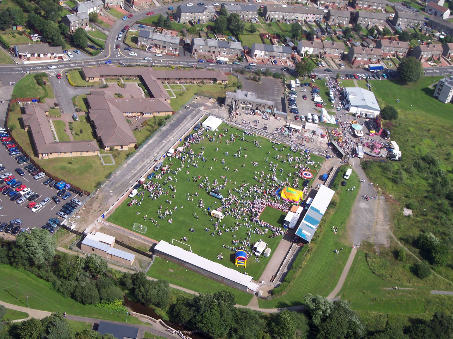
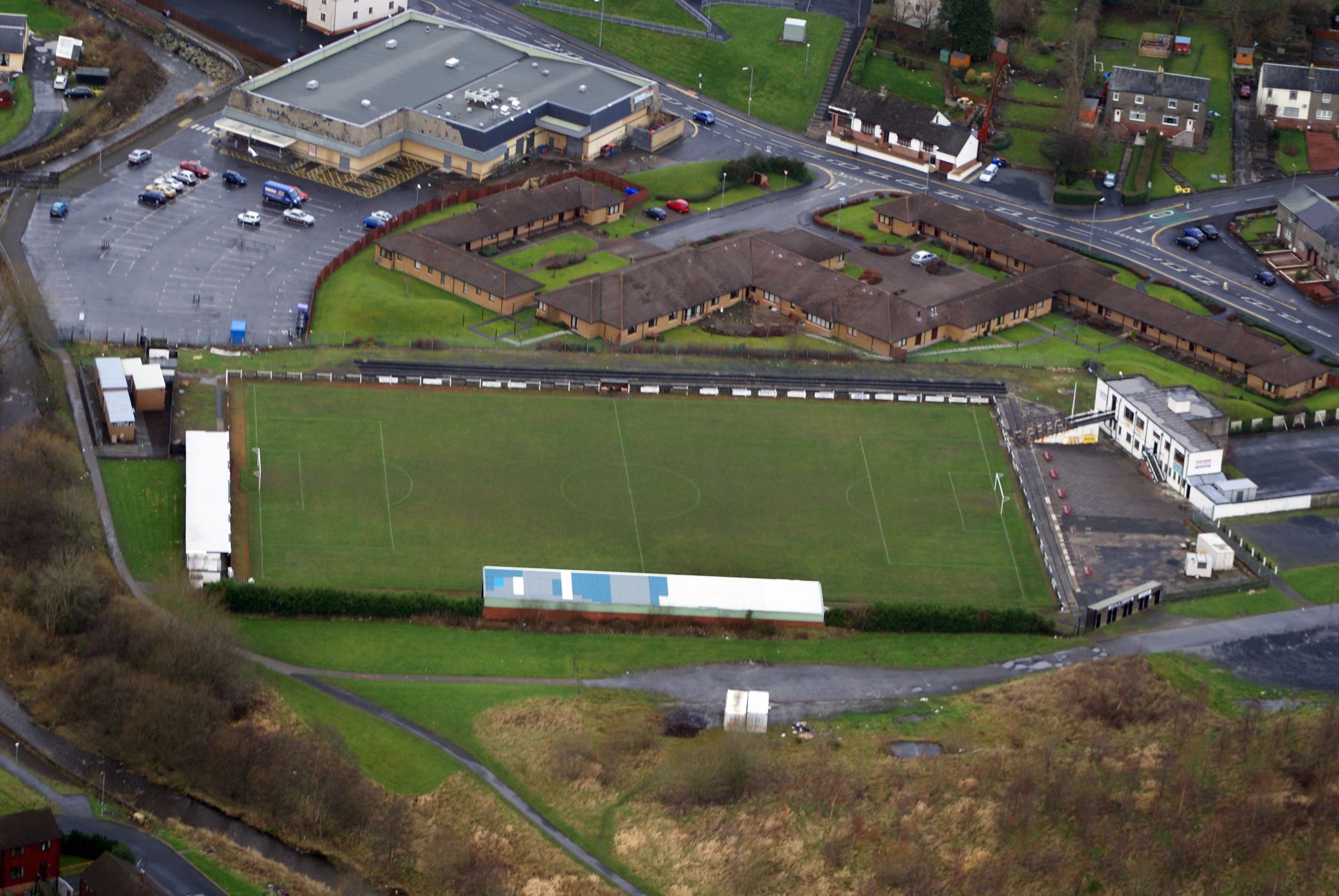
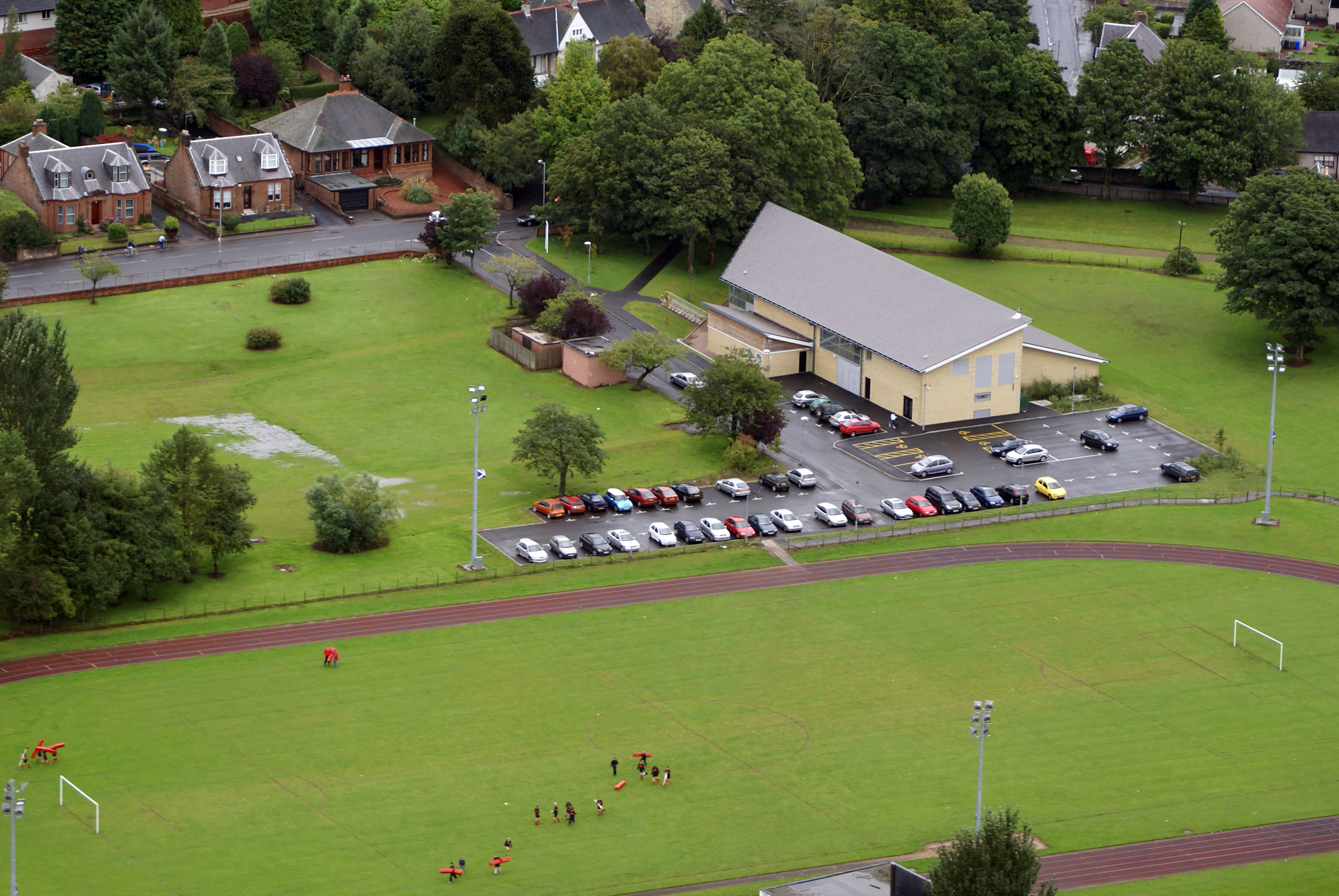
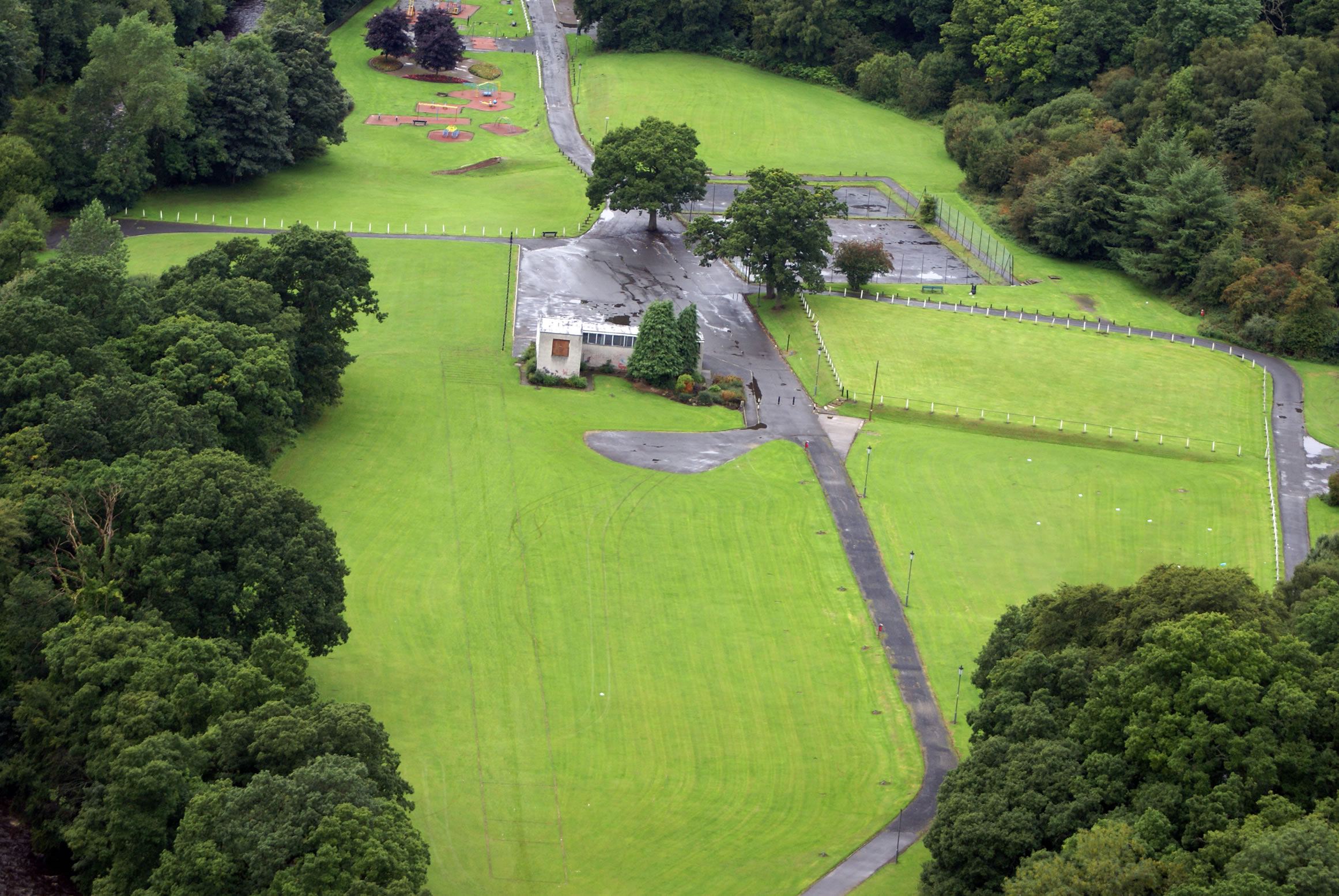
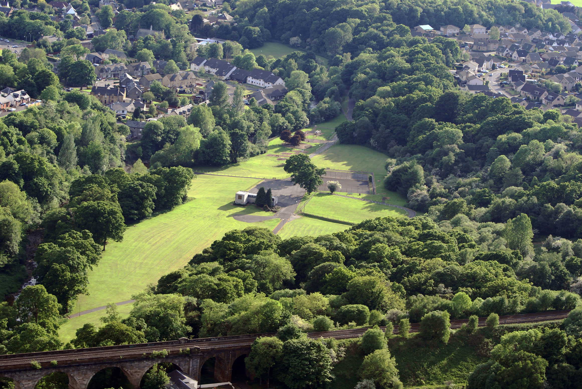
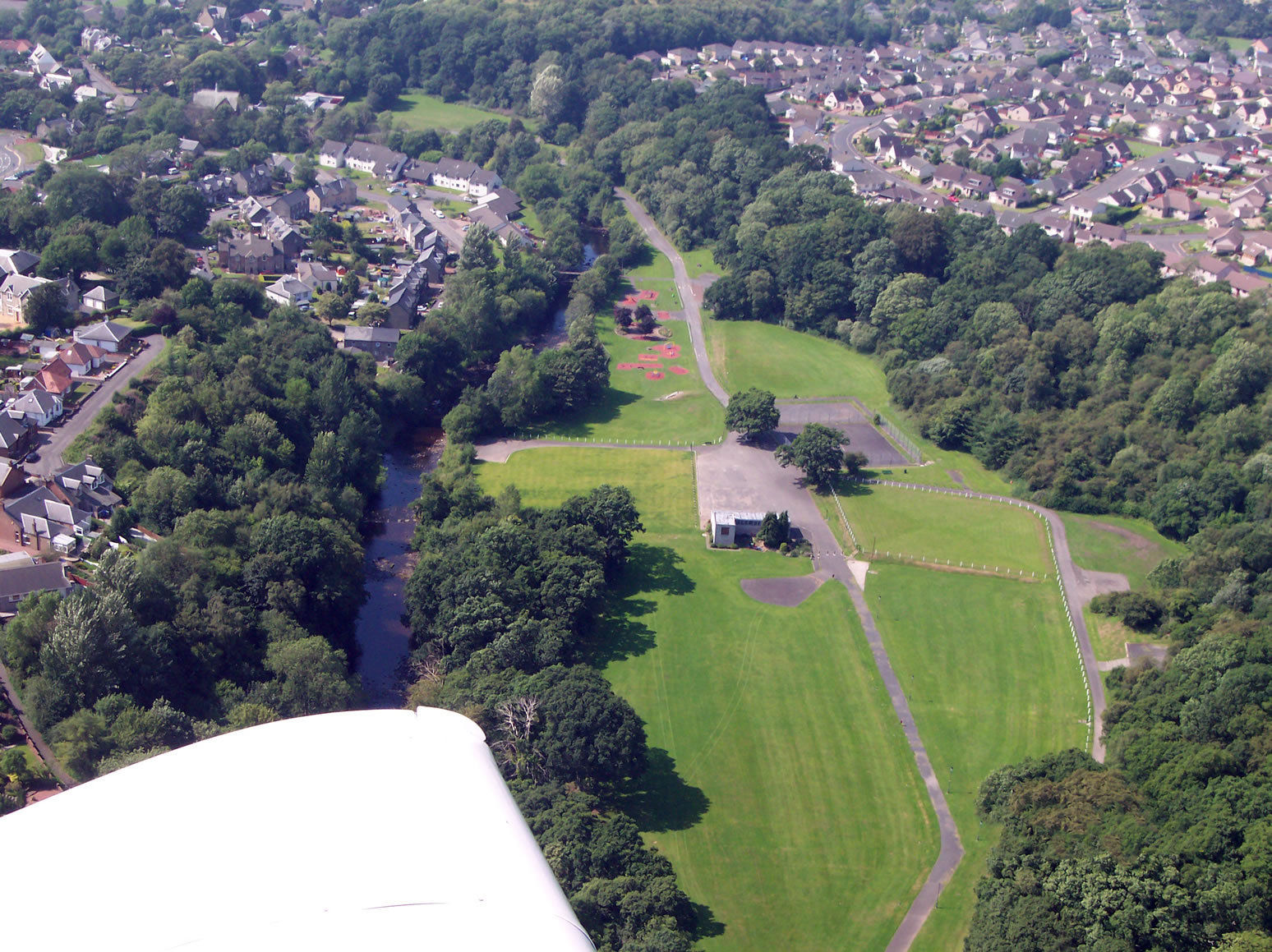
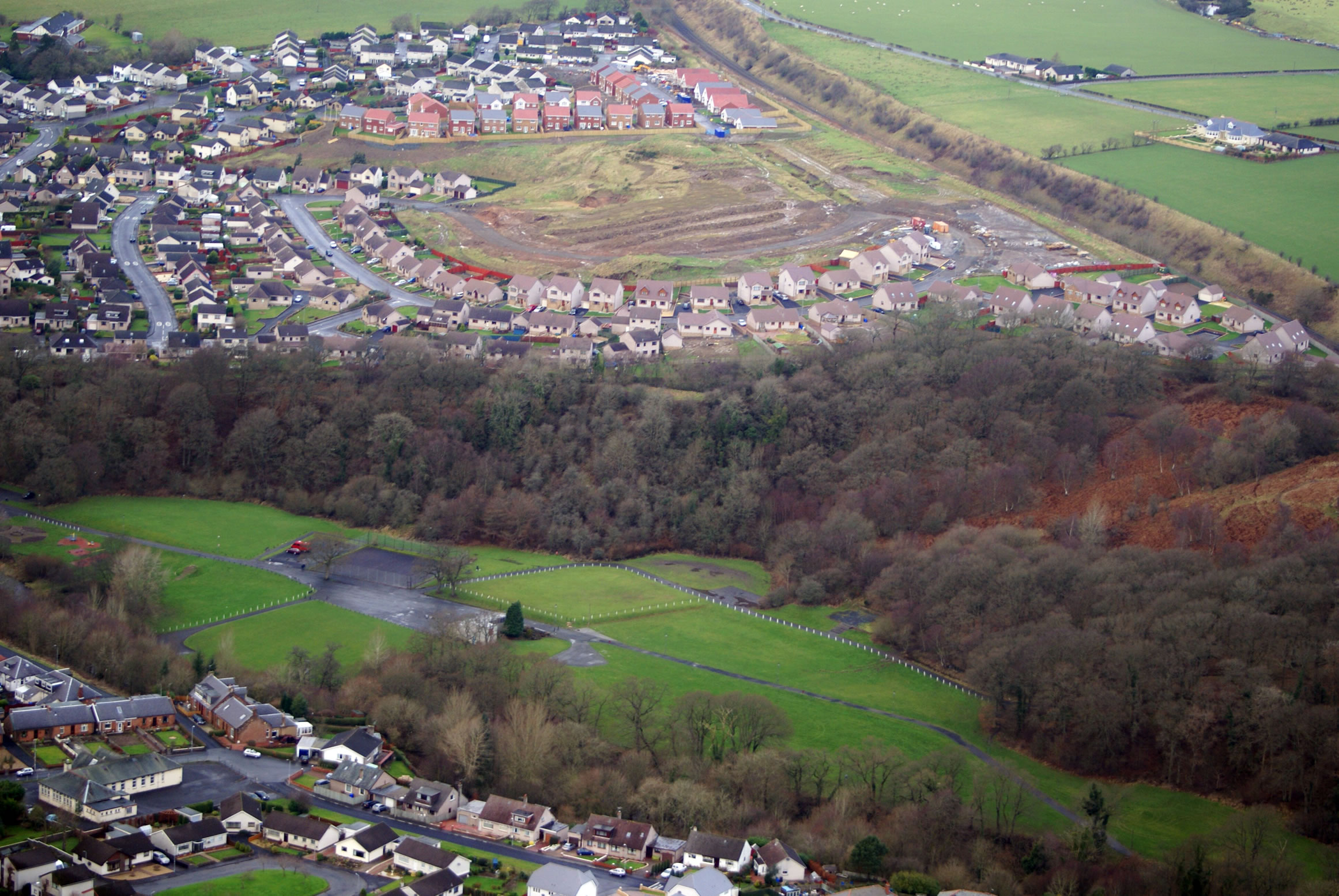
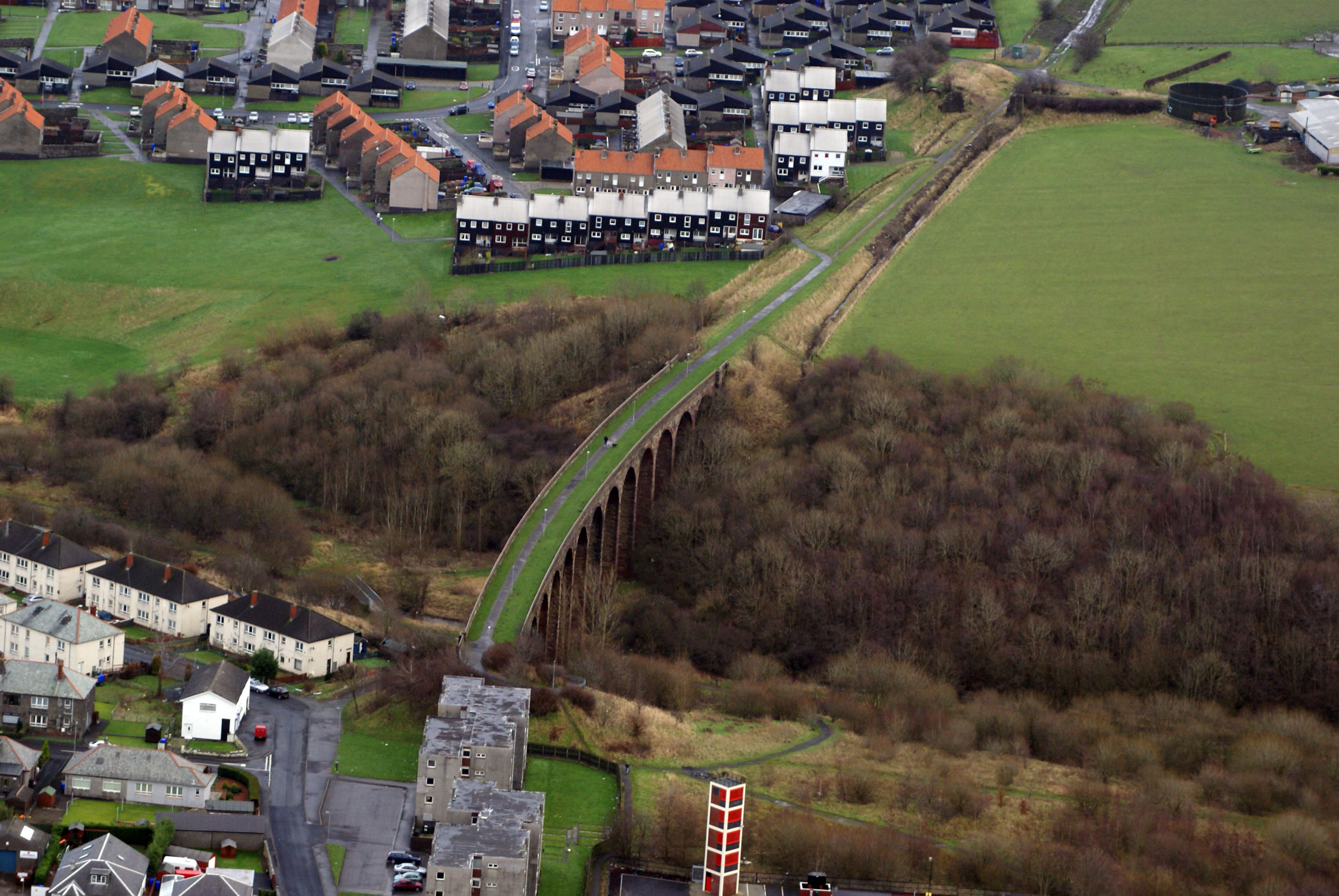
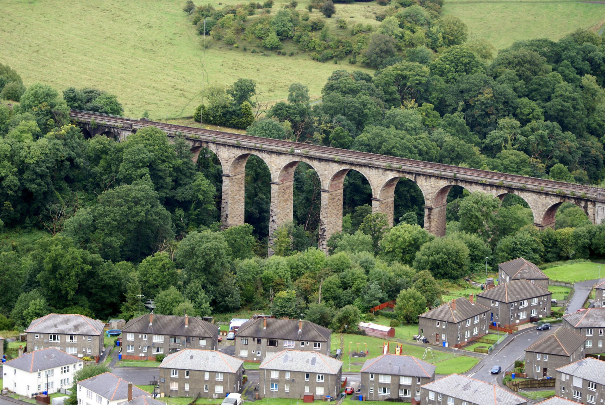
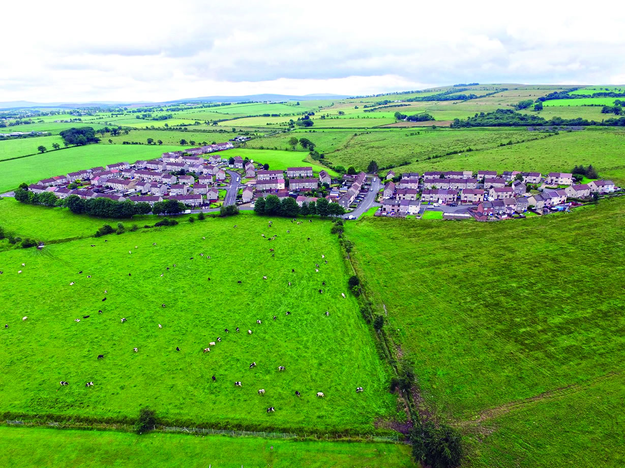
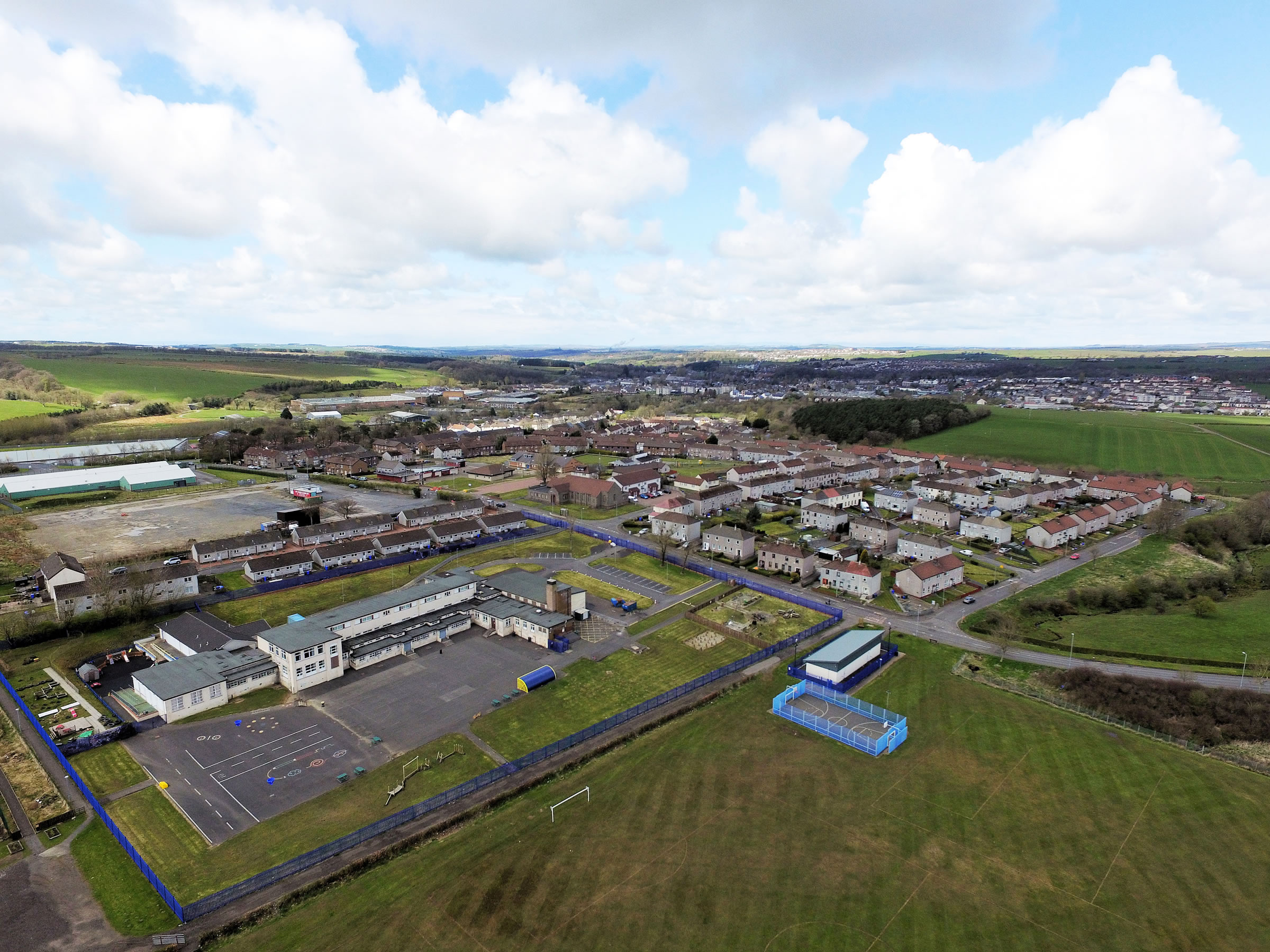
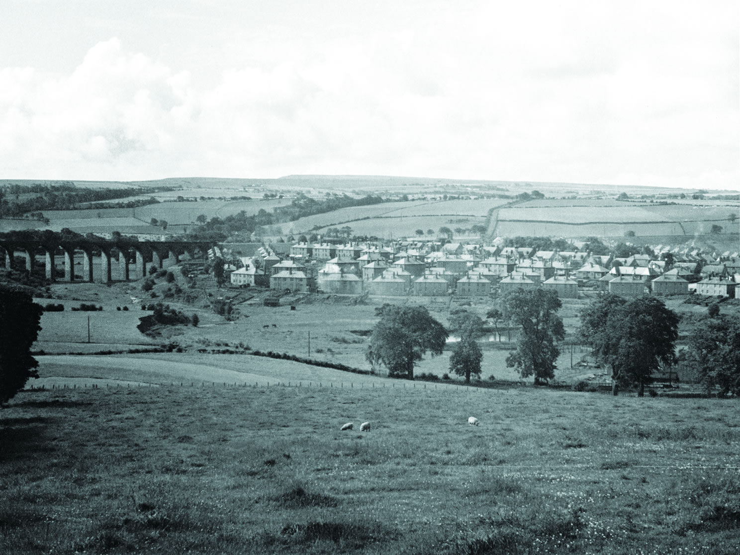
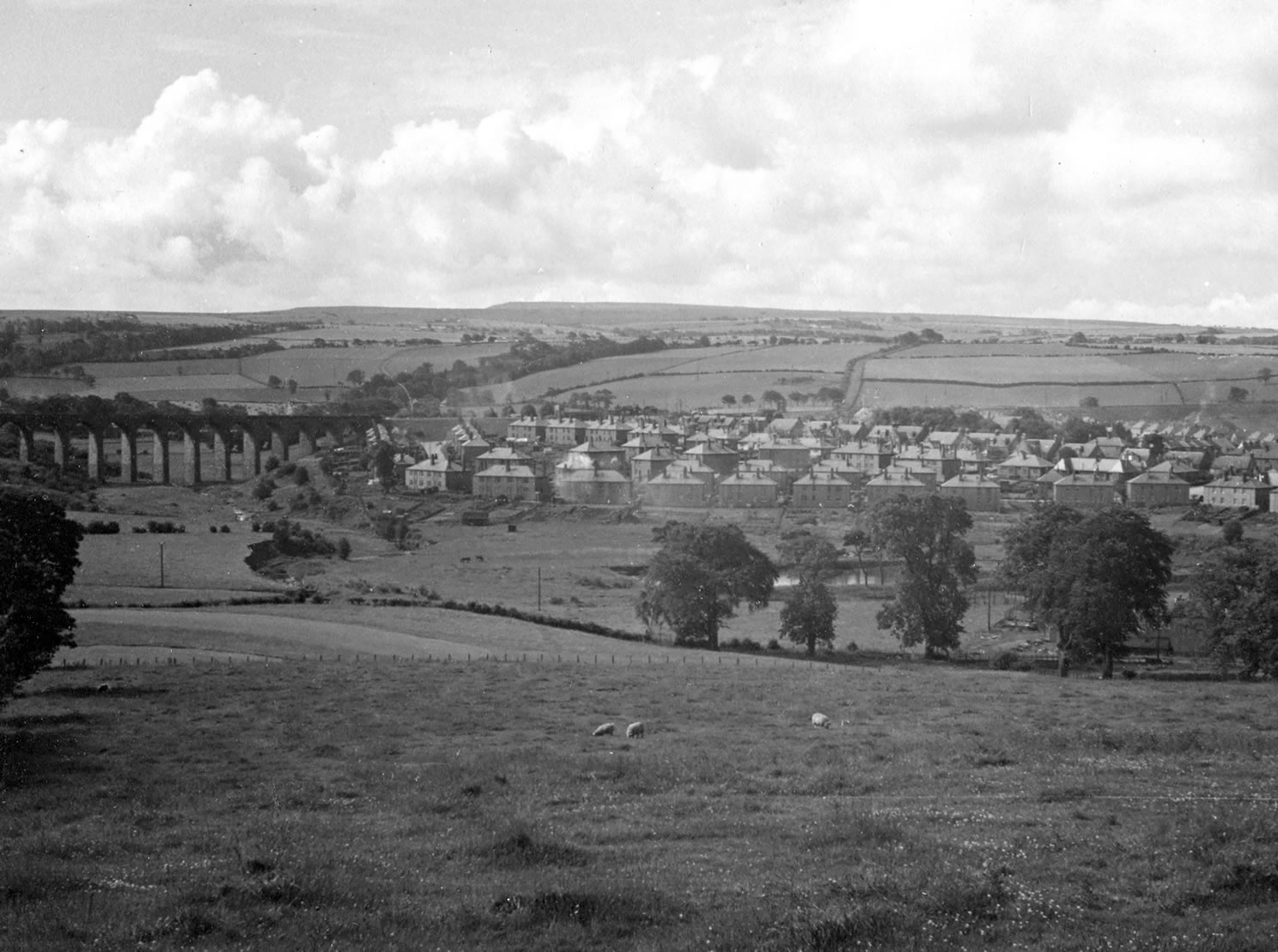
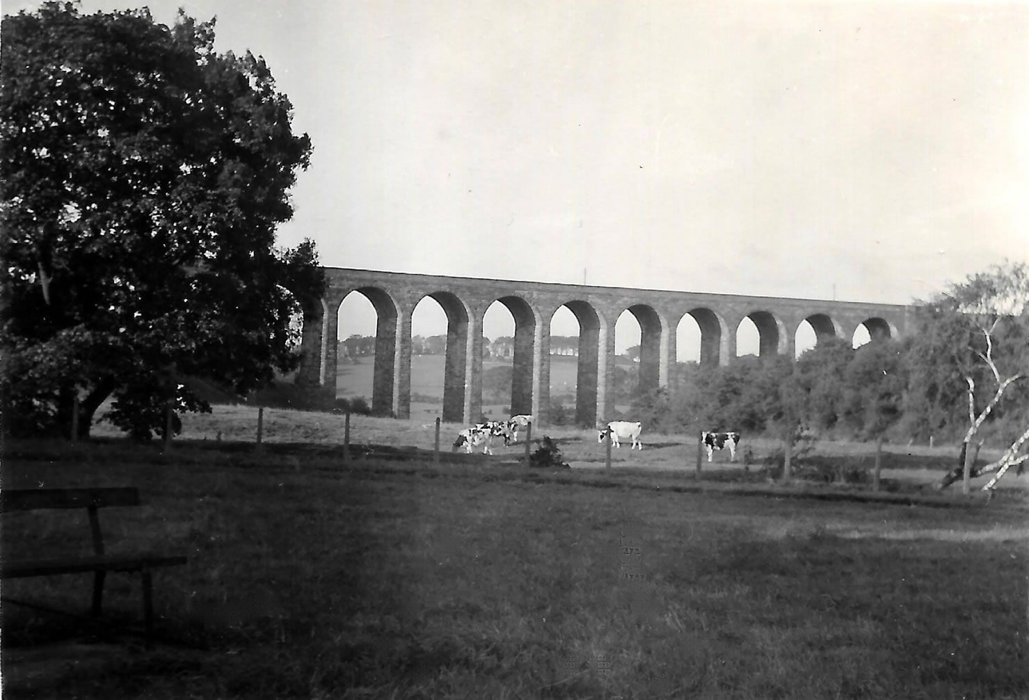
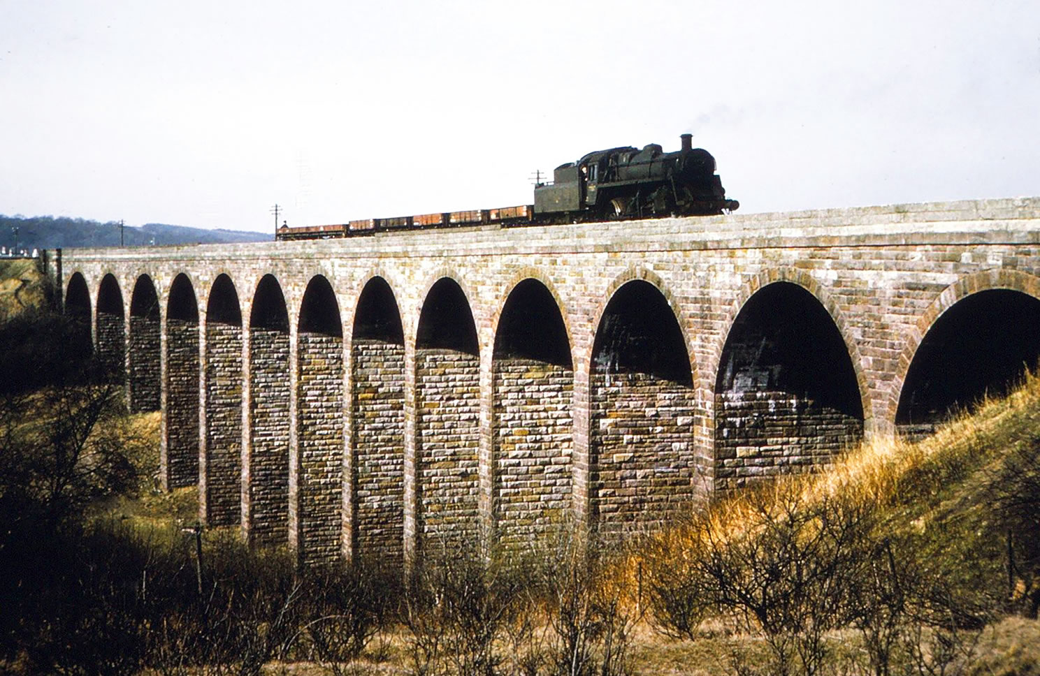
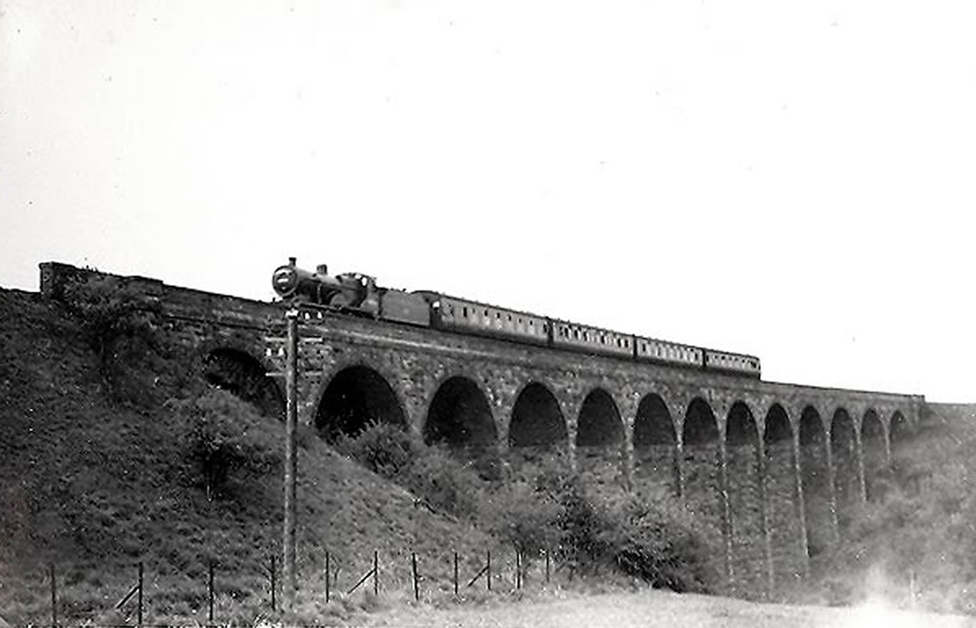
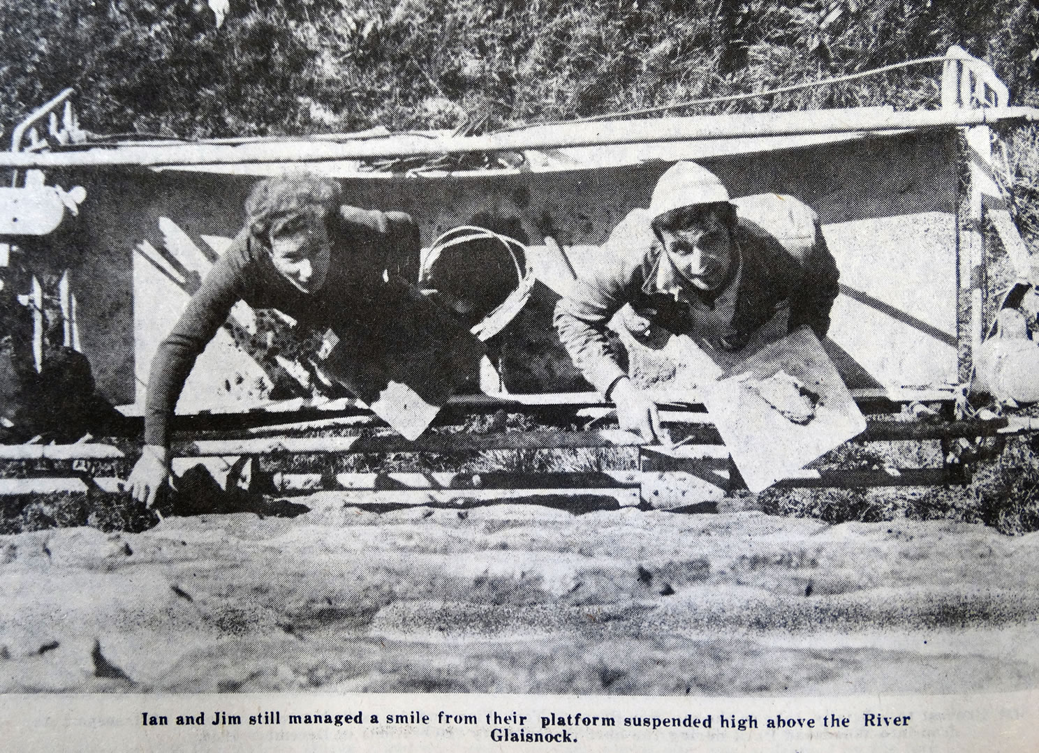
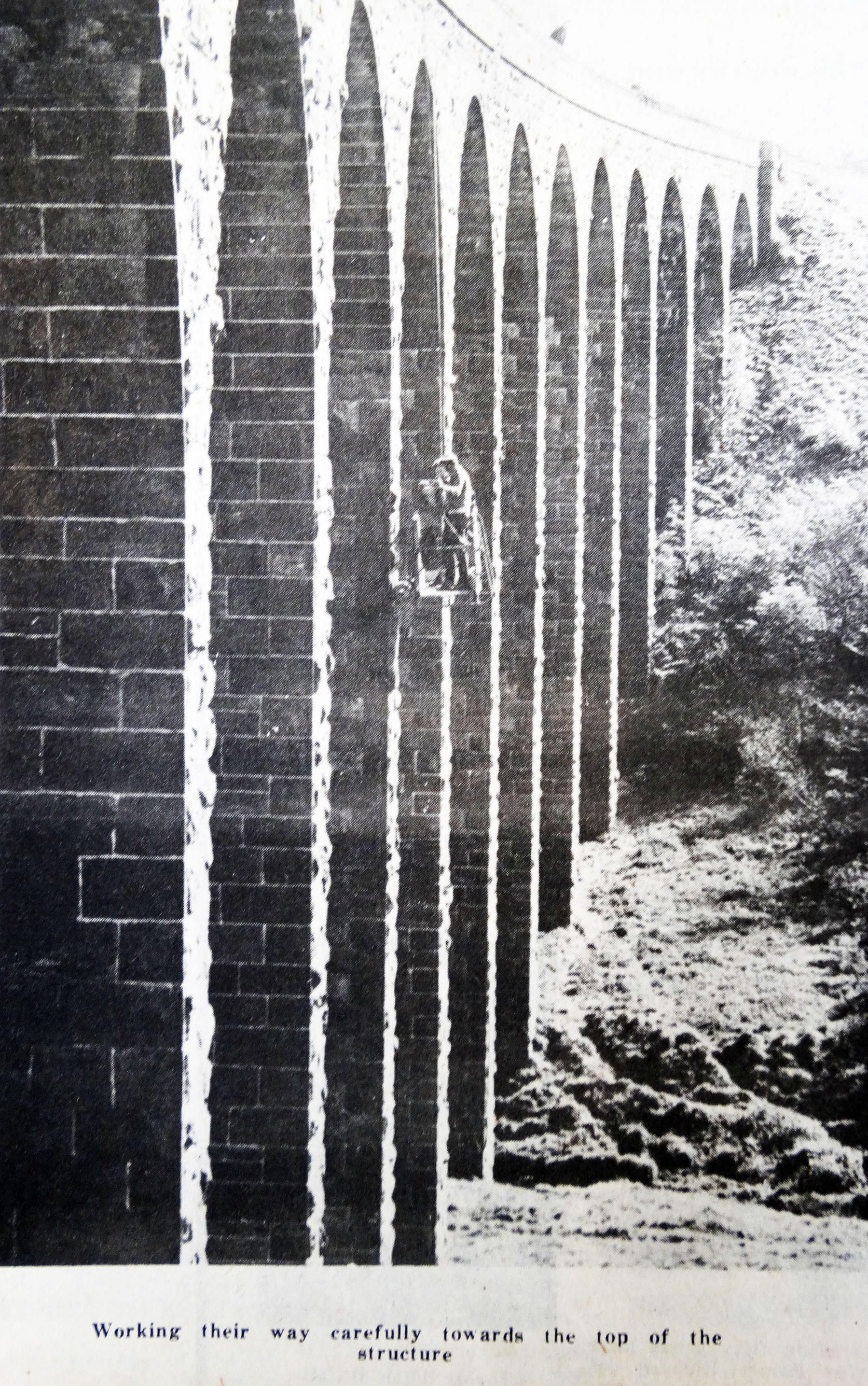
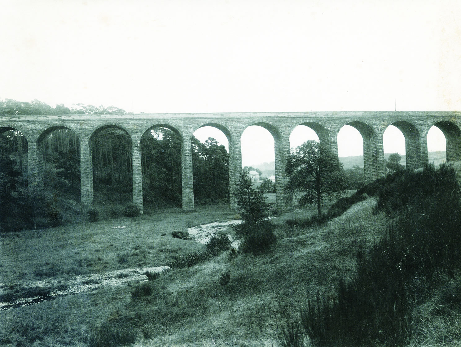
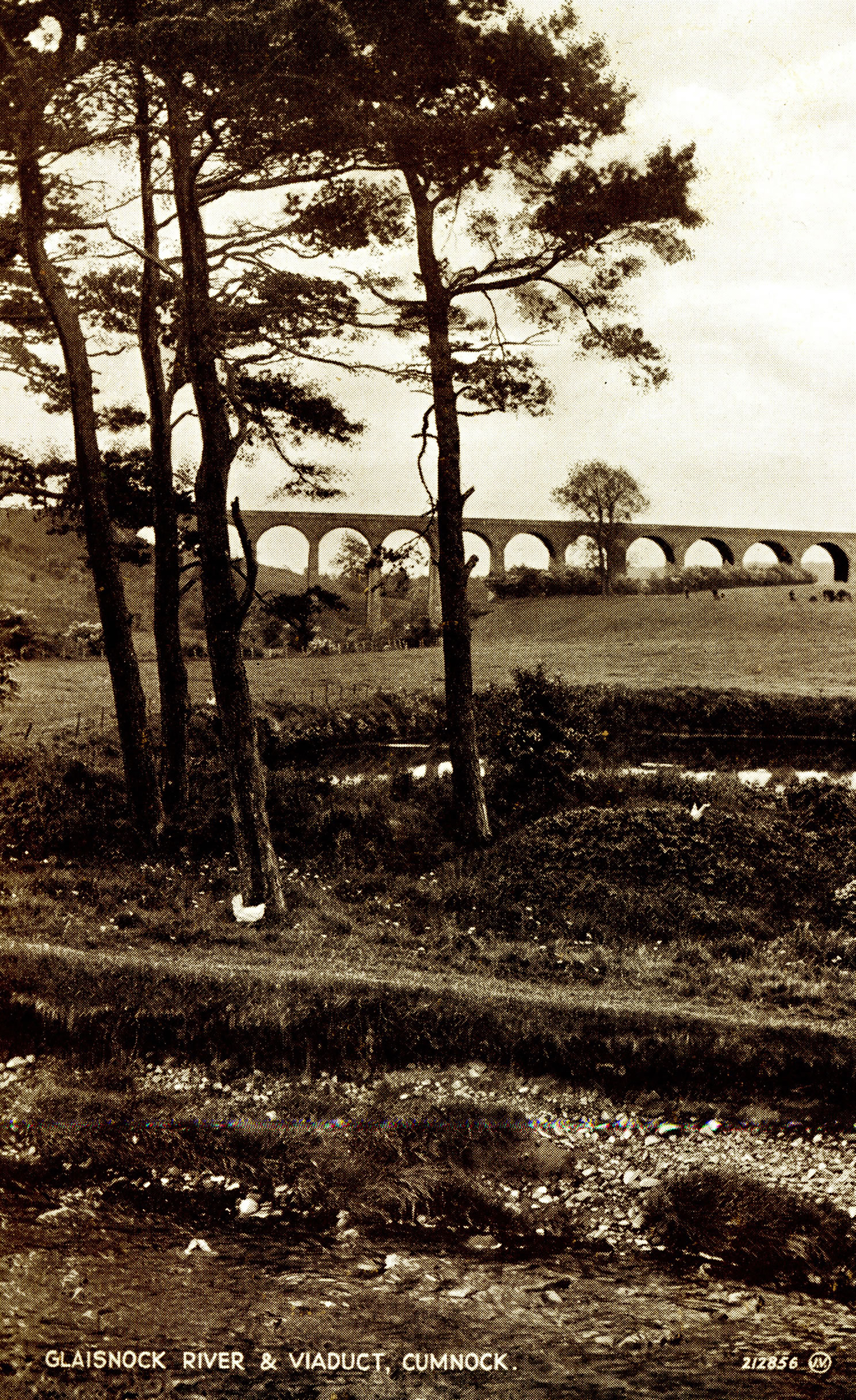
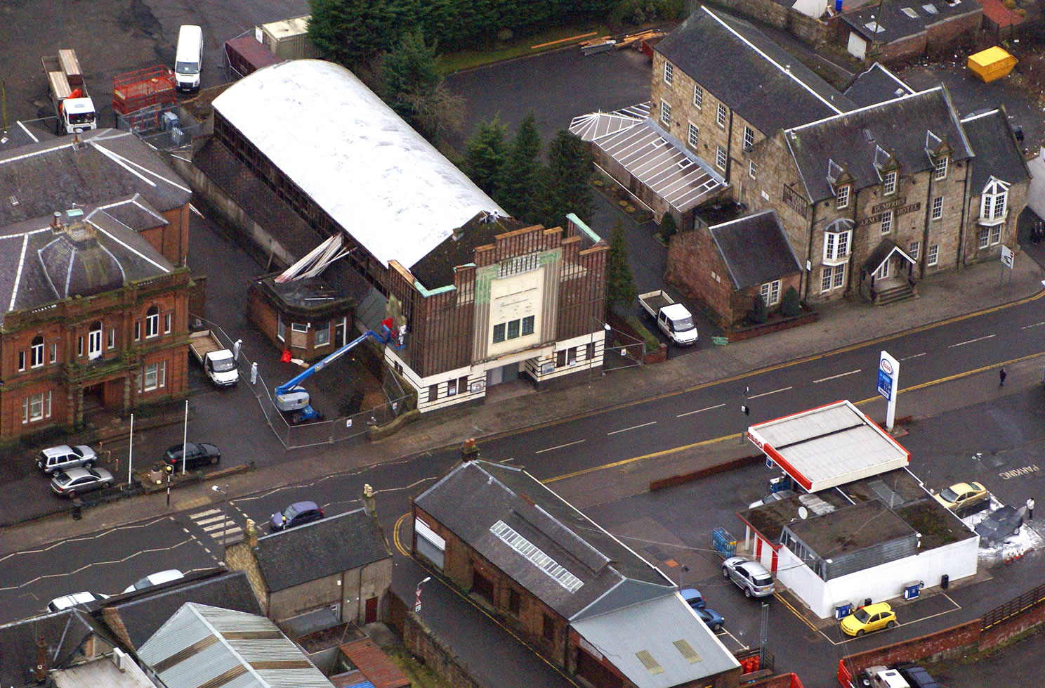
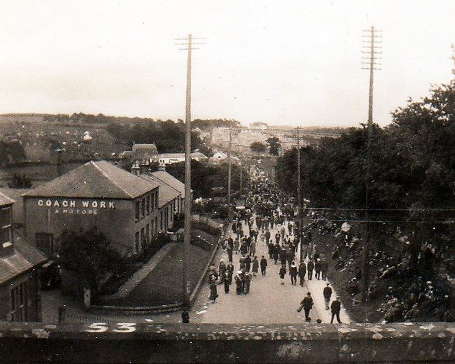
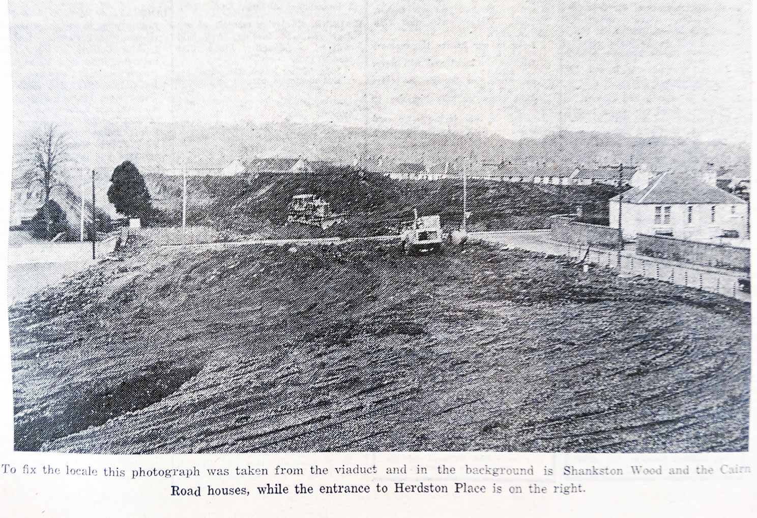
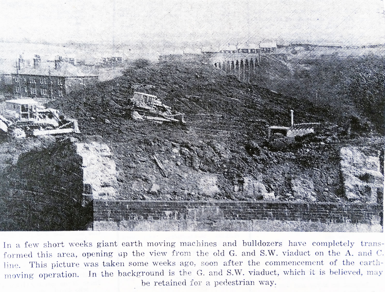
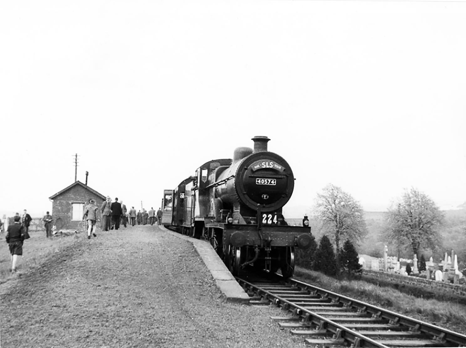
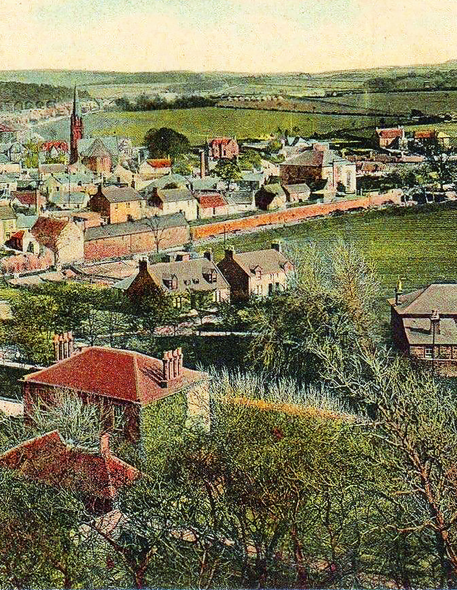
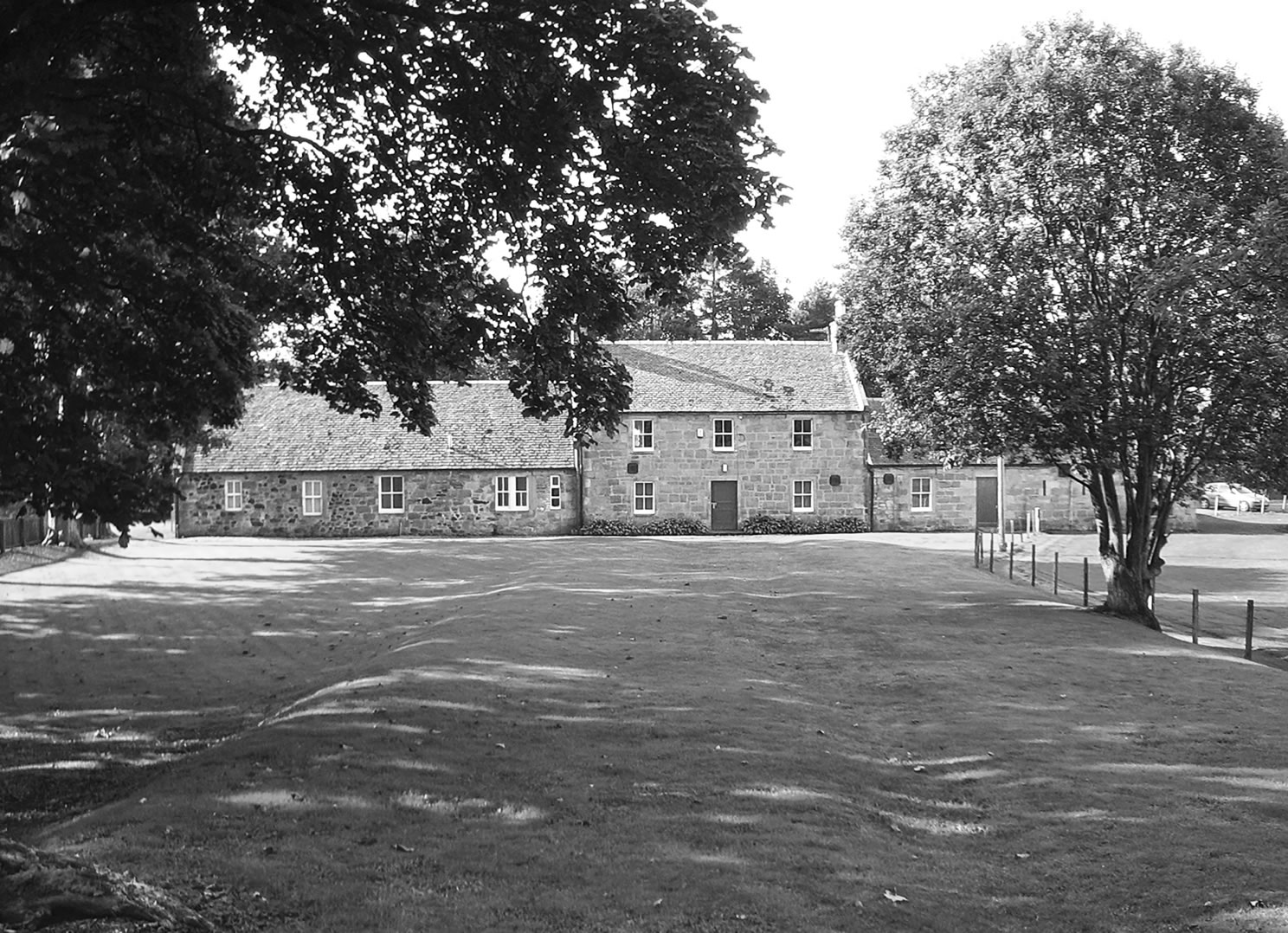
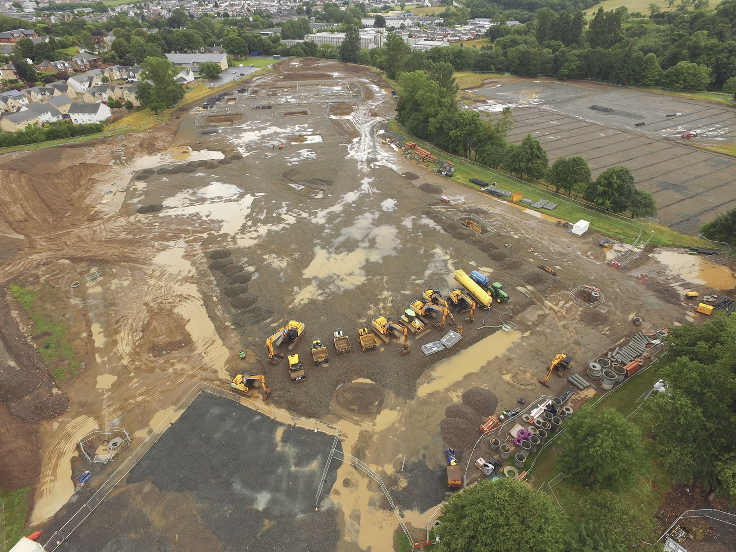
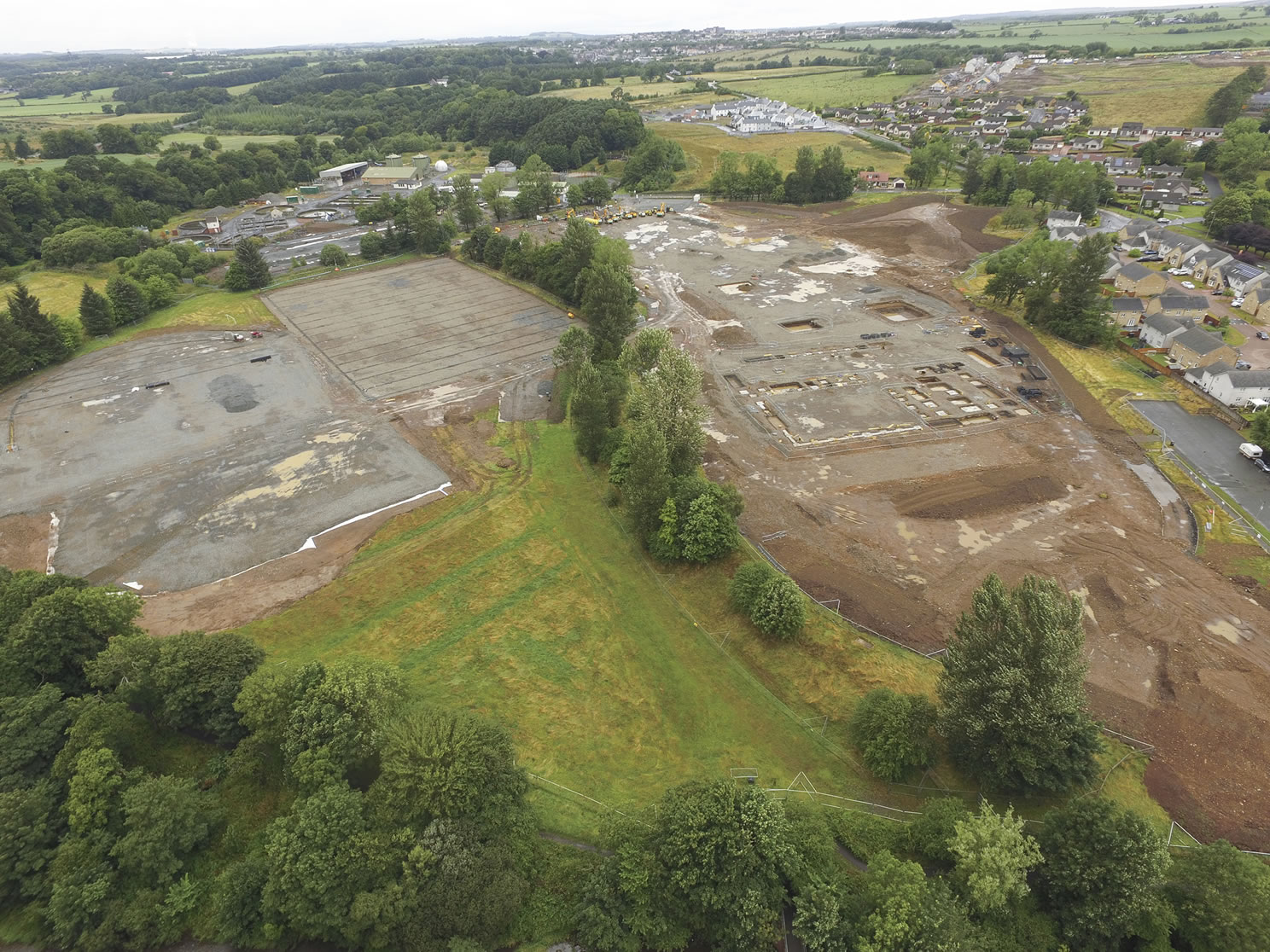
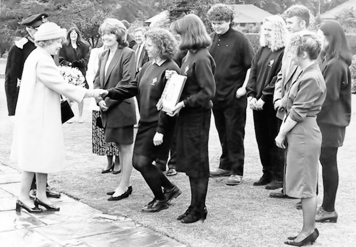
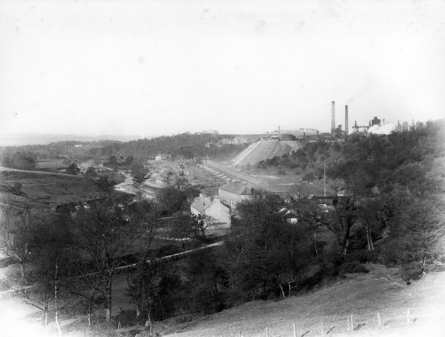
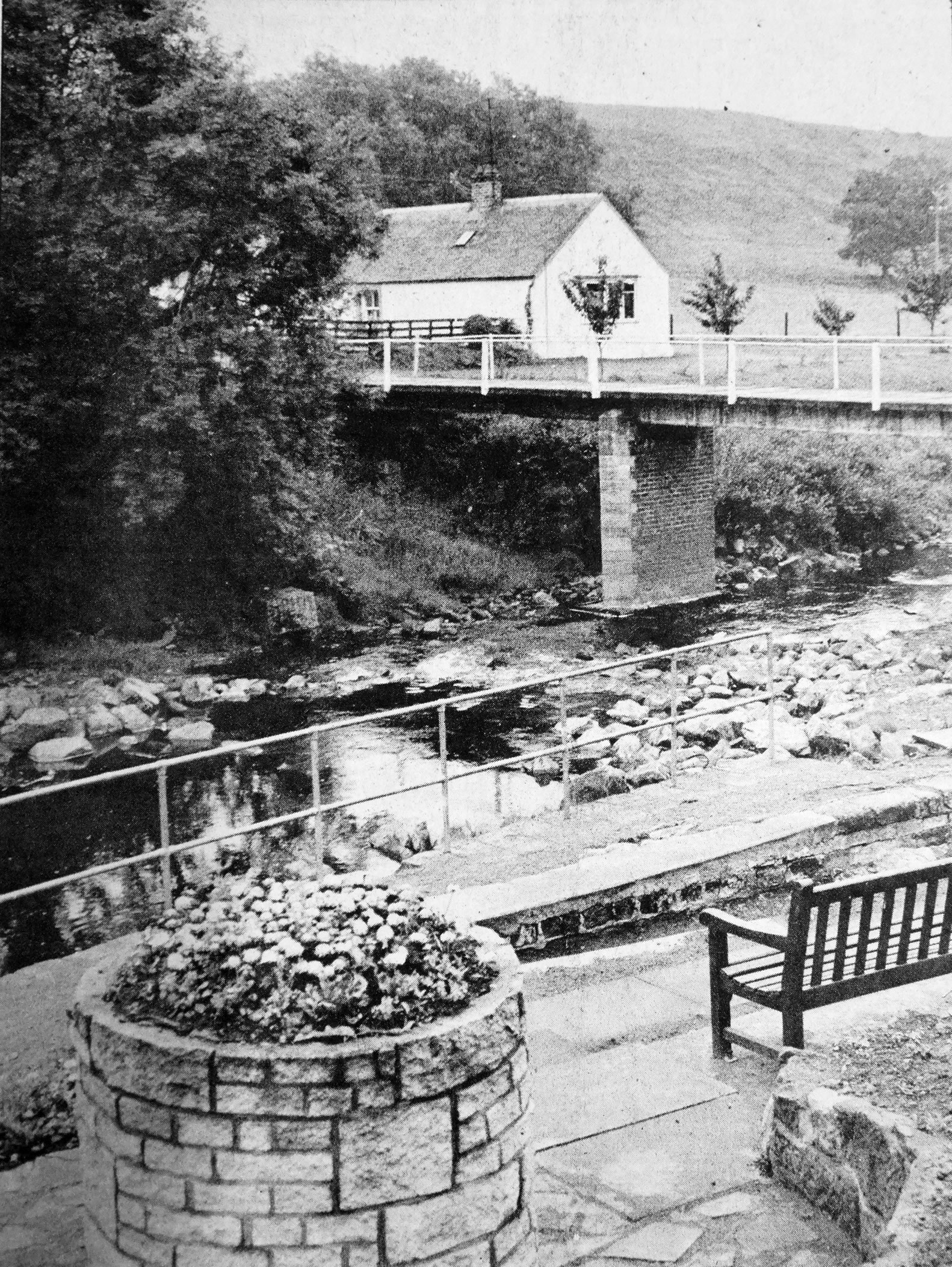
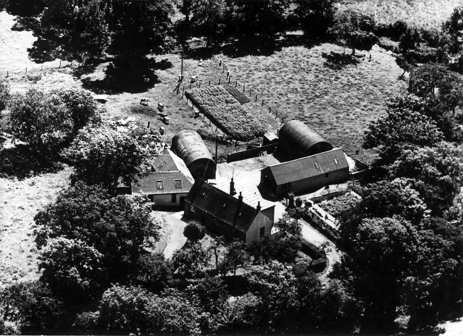
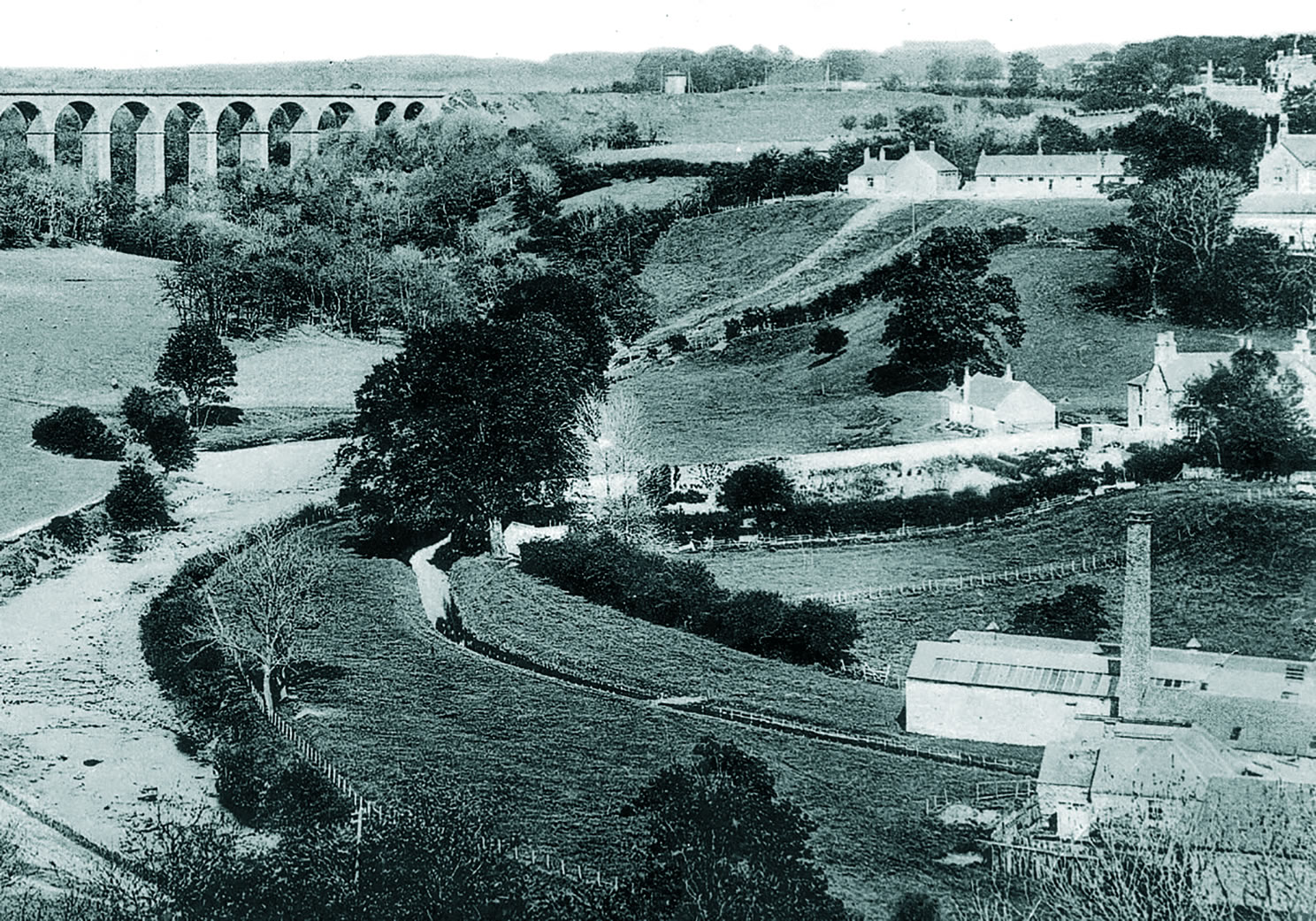
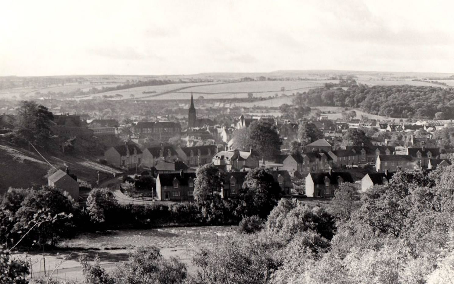
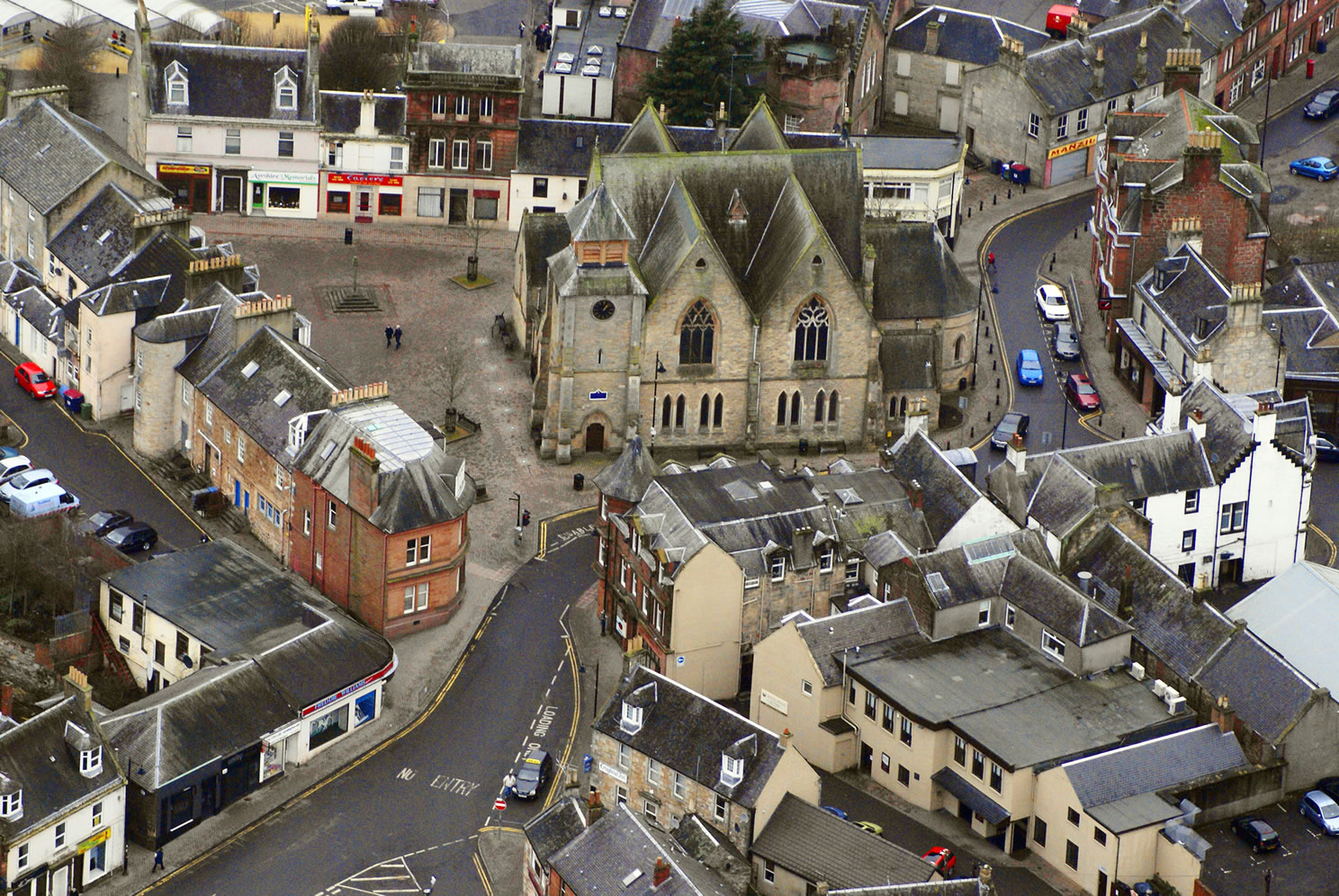
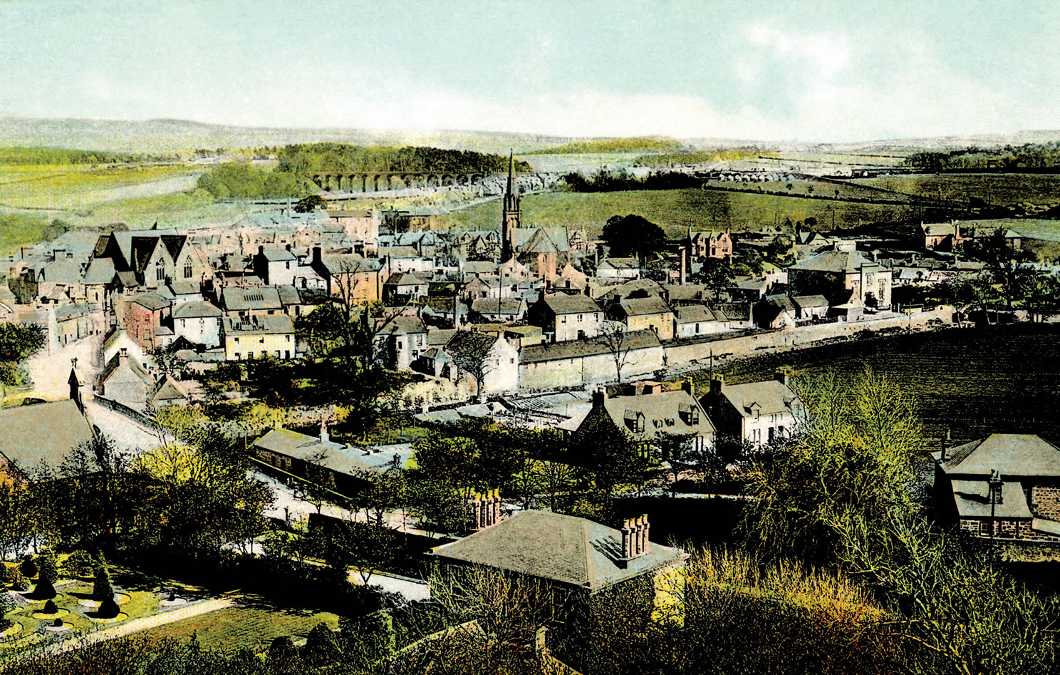
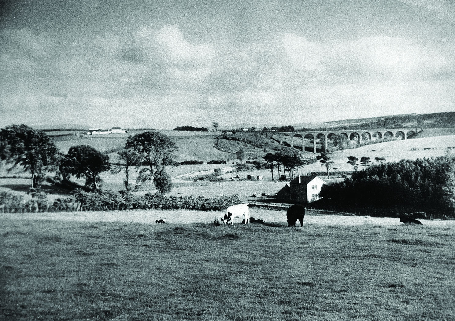
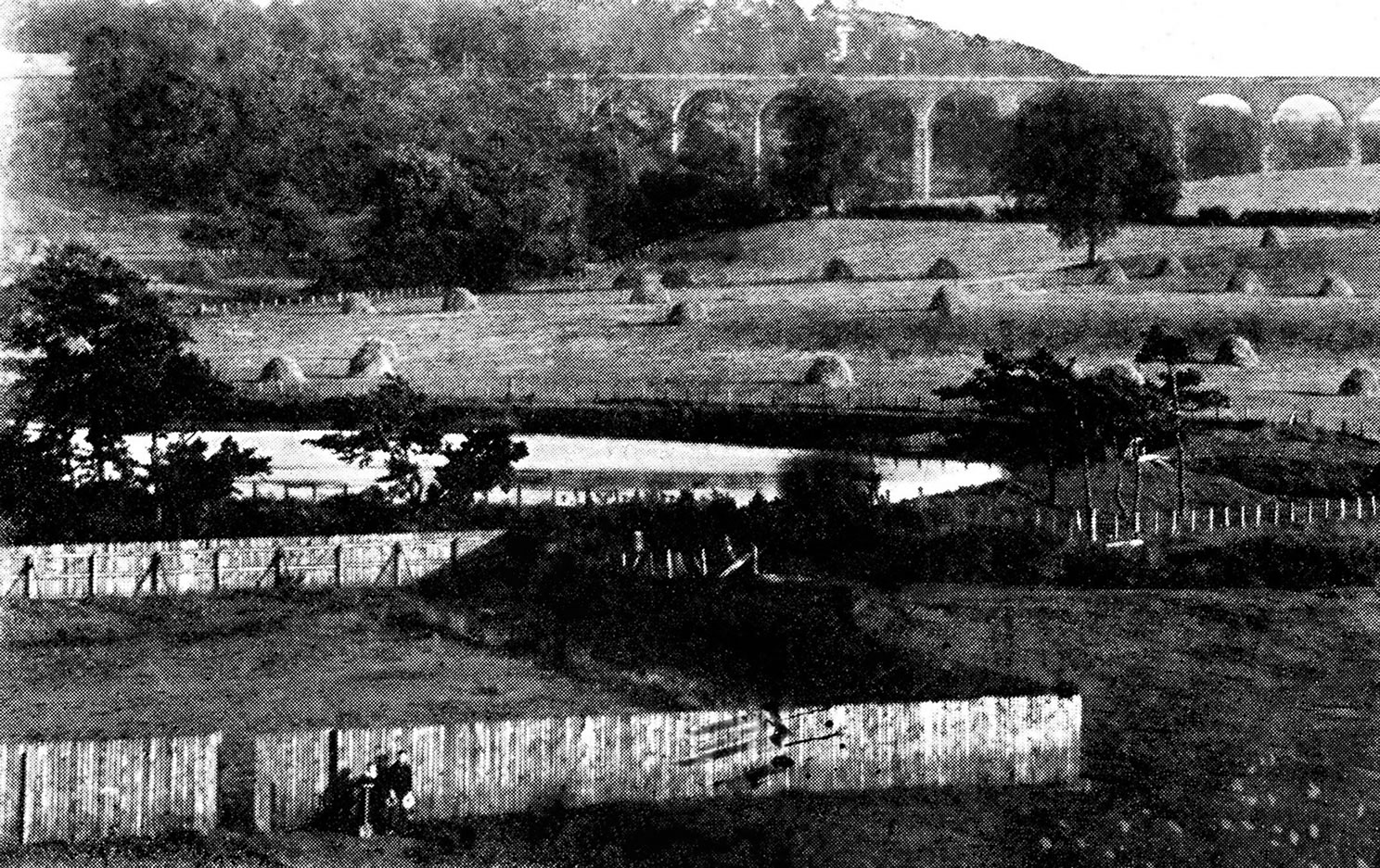
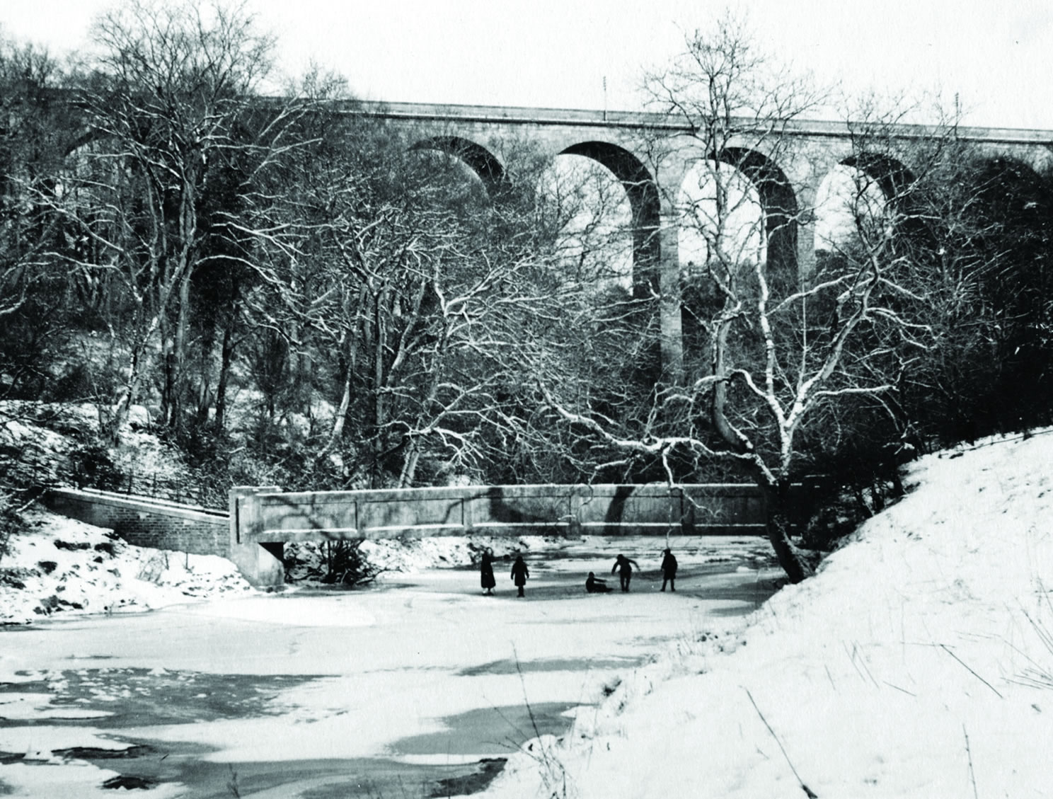
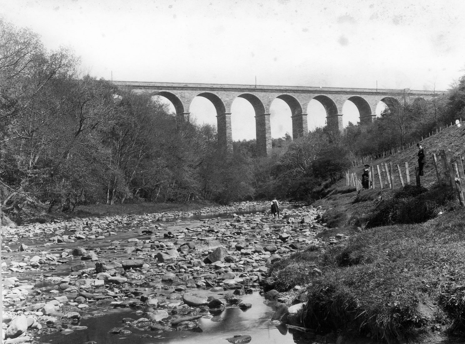
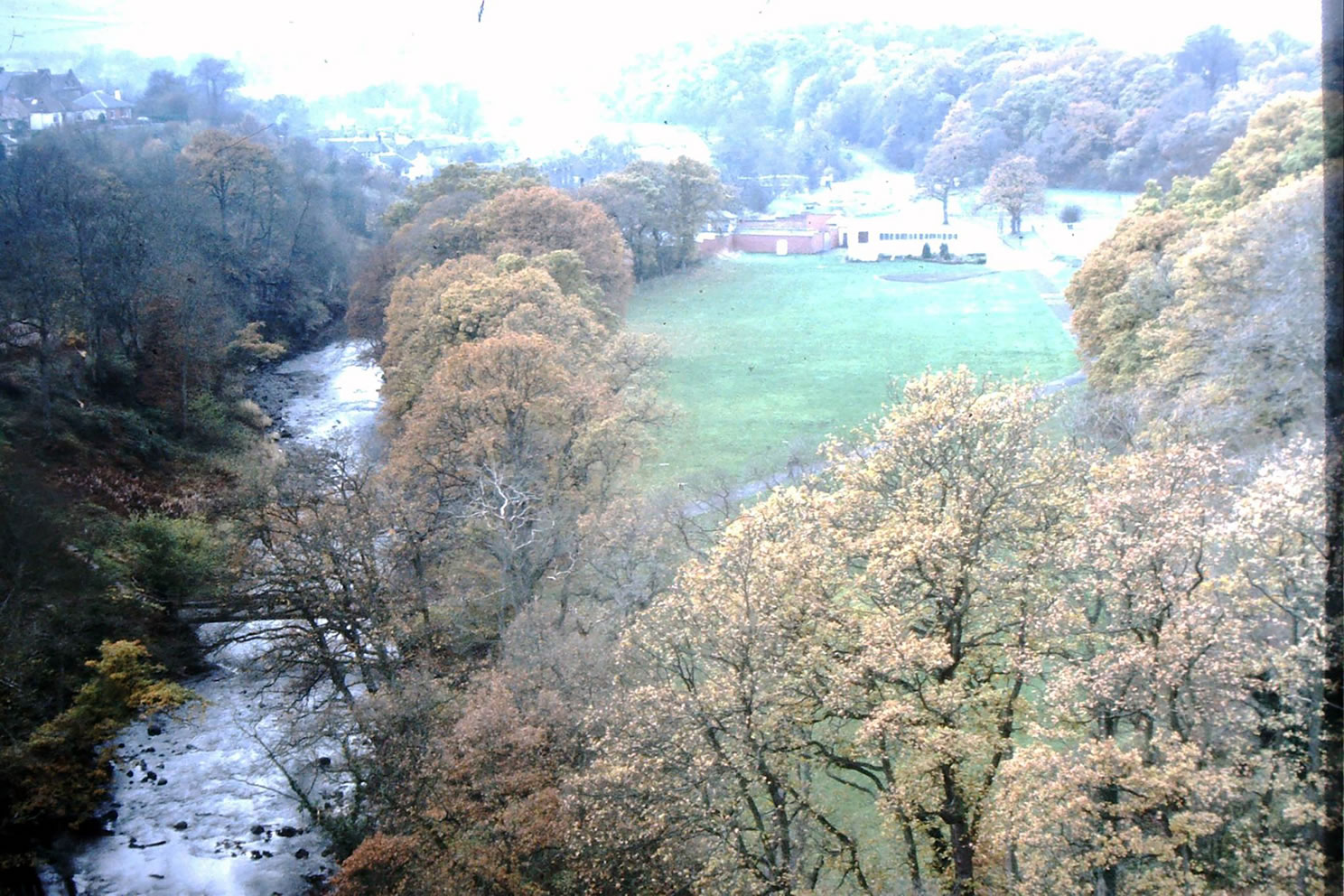
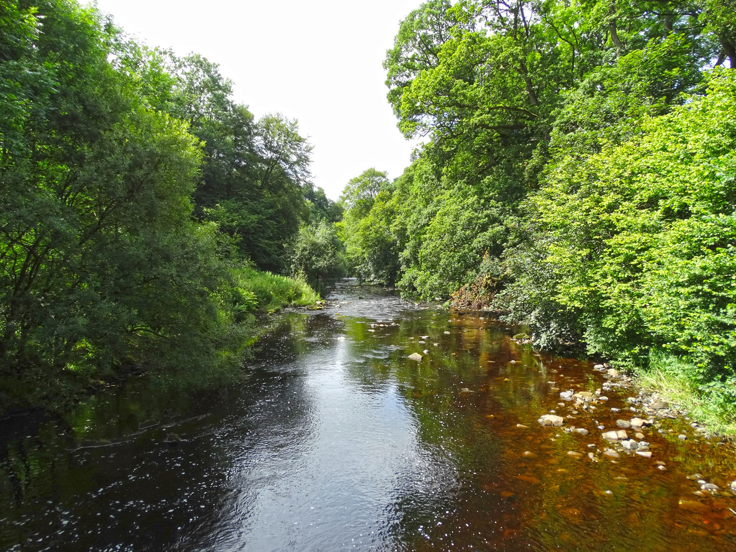
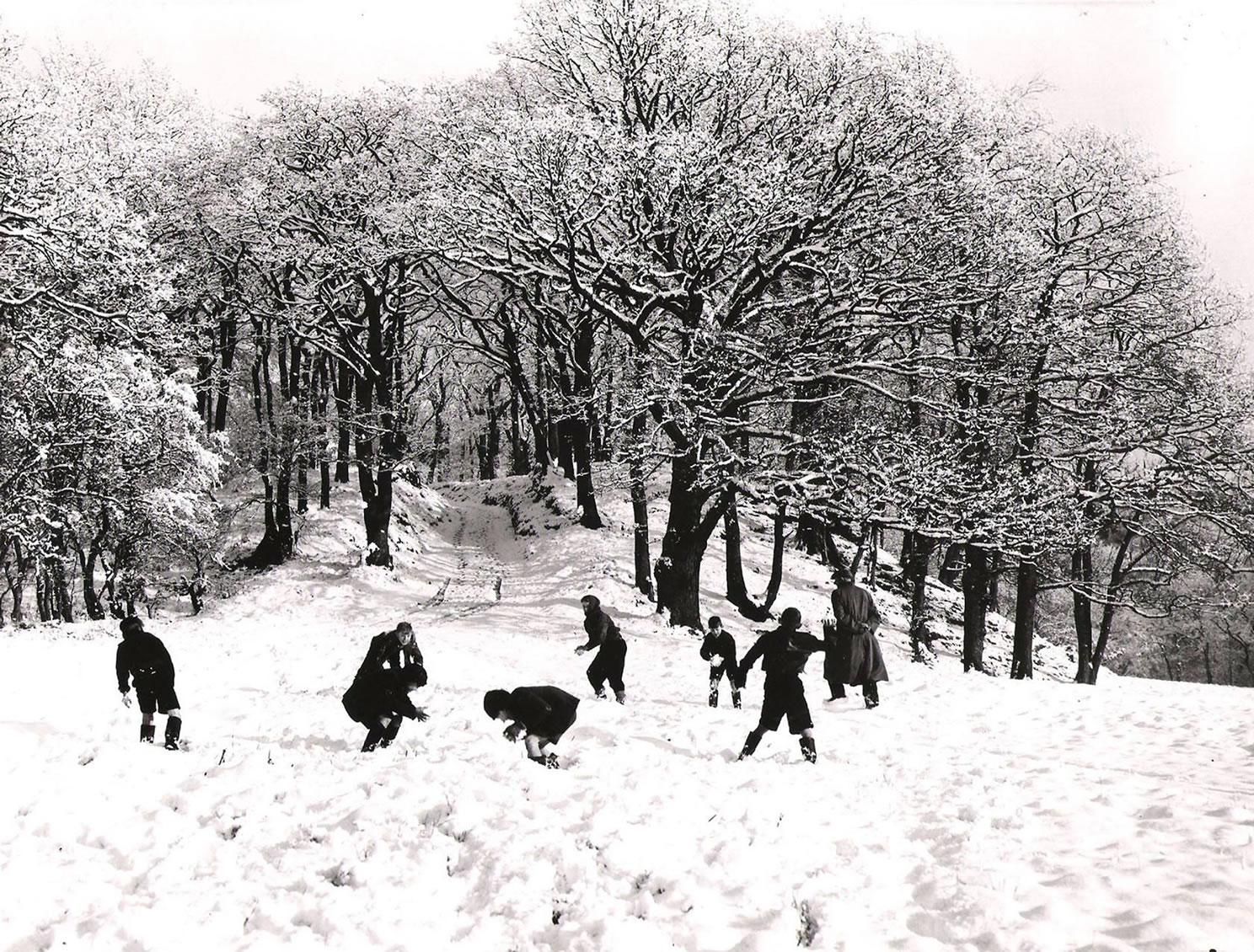
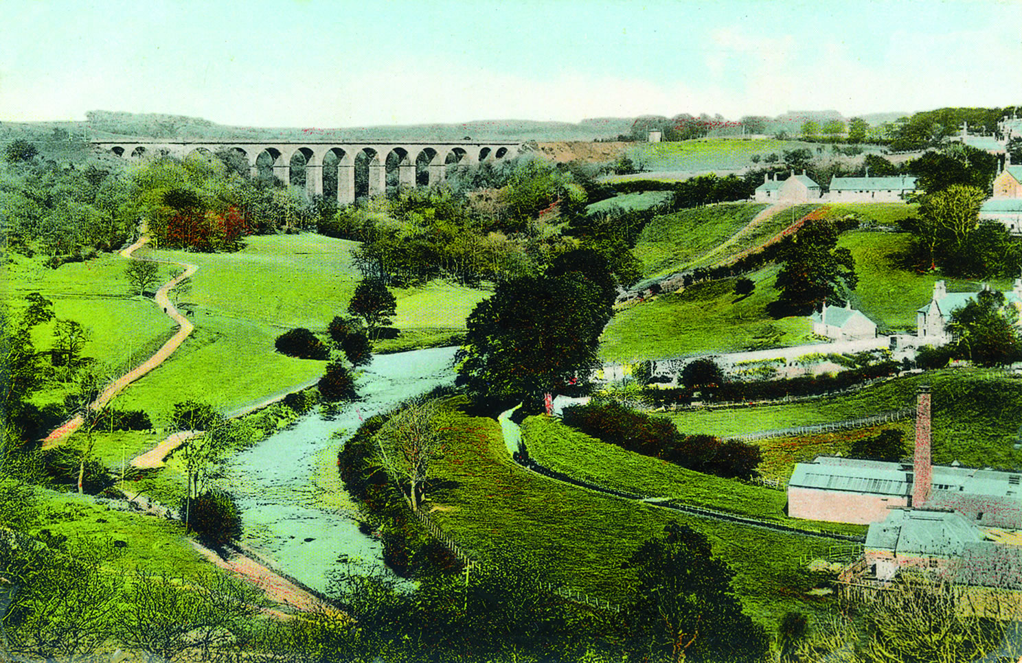
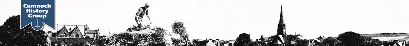
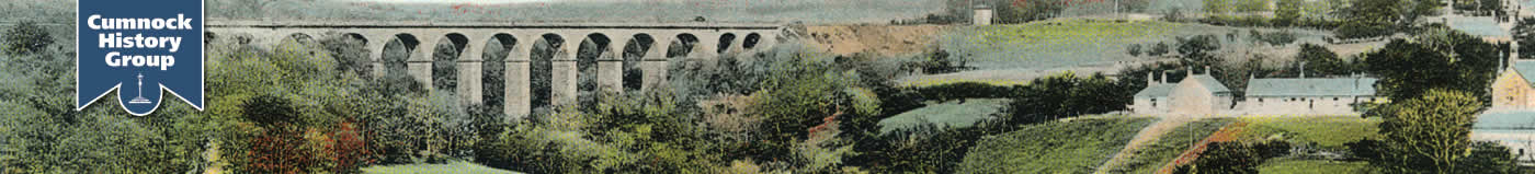
A selection of aerial photographs and views of Cumnock from bings, viaducts and other vantage points.
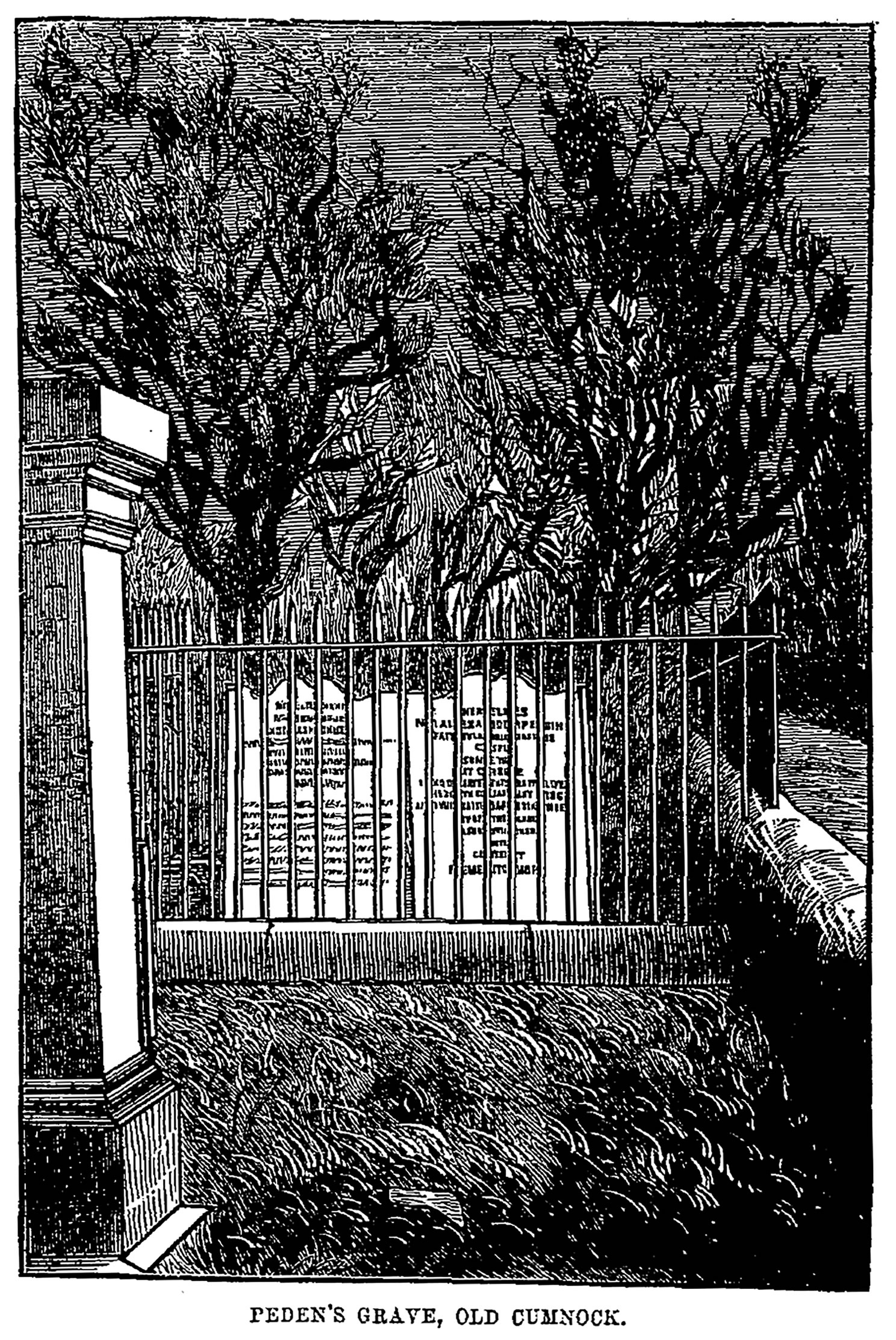
1700s View from west - engraving
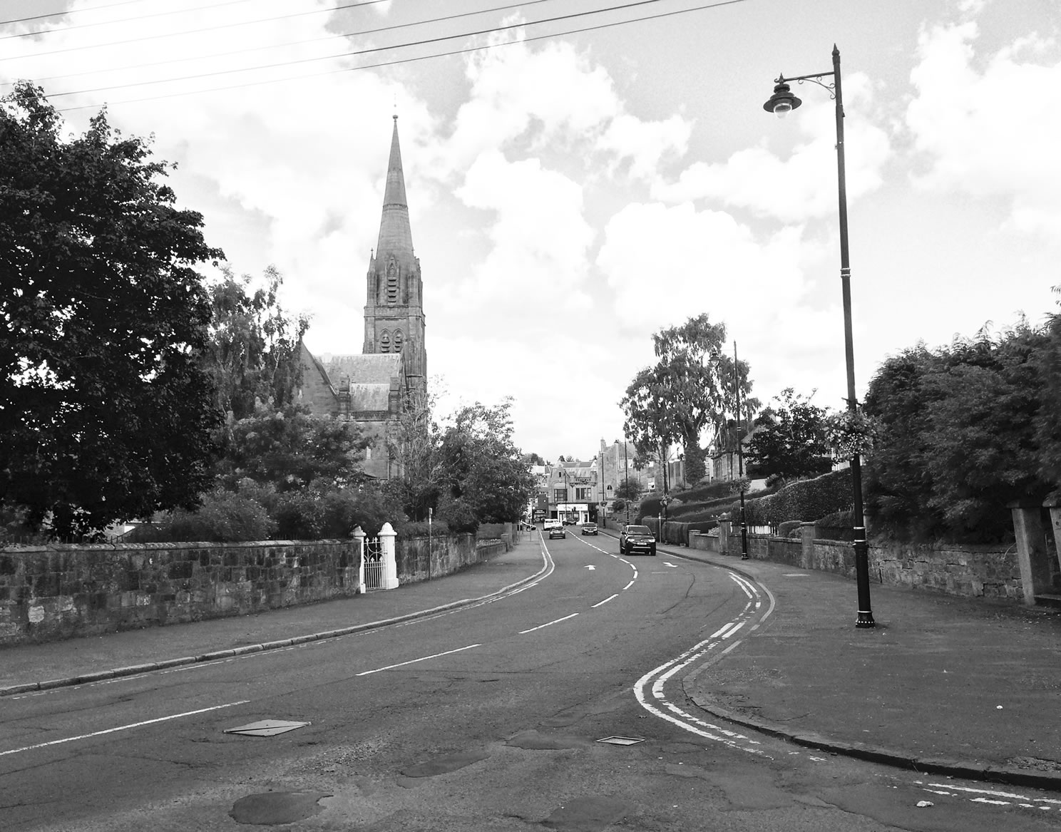
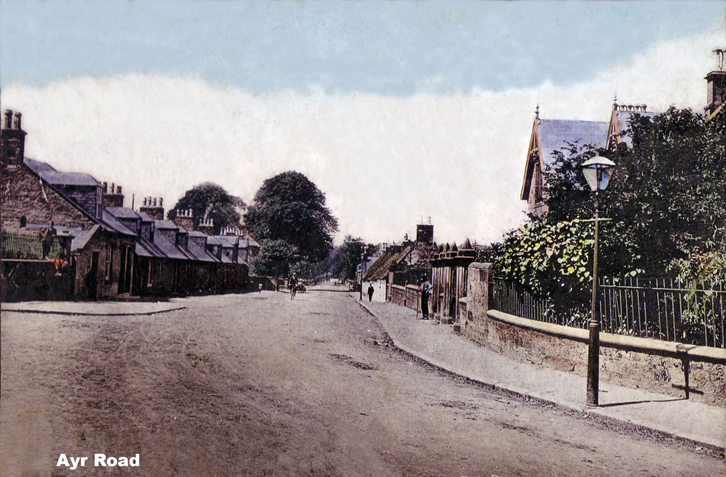
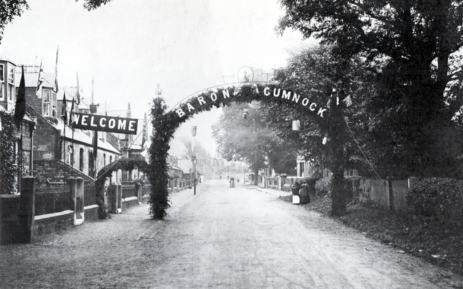
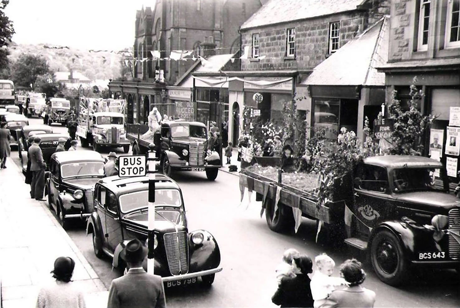
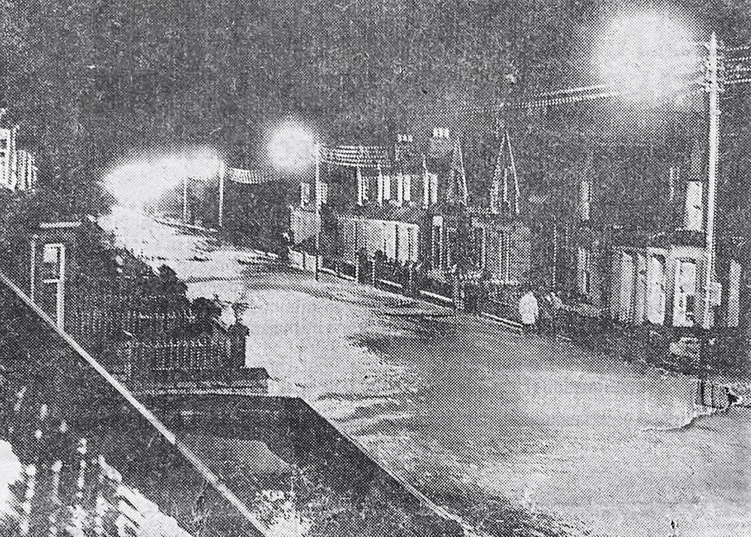
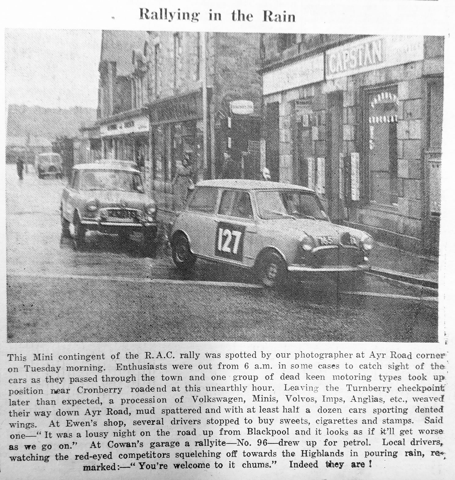
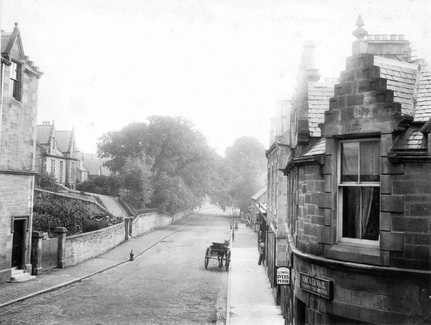
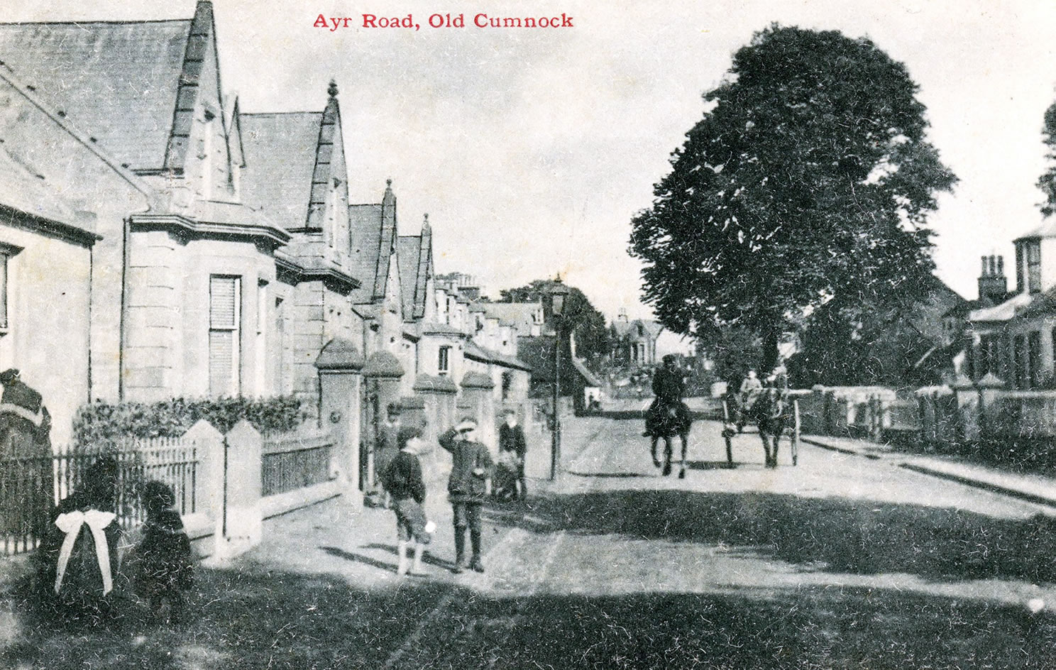
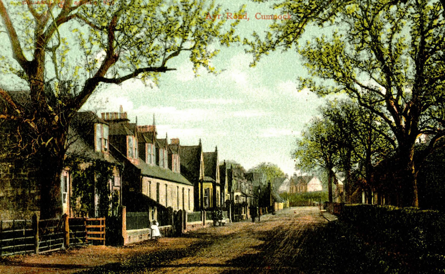
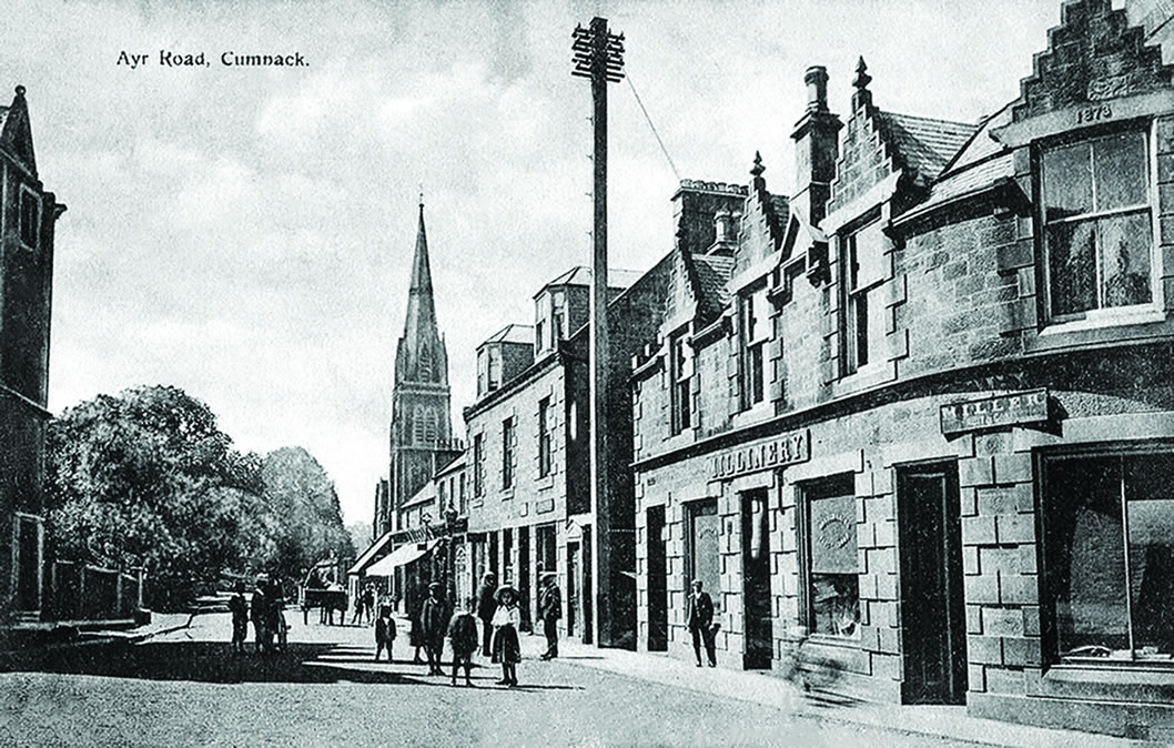
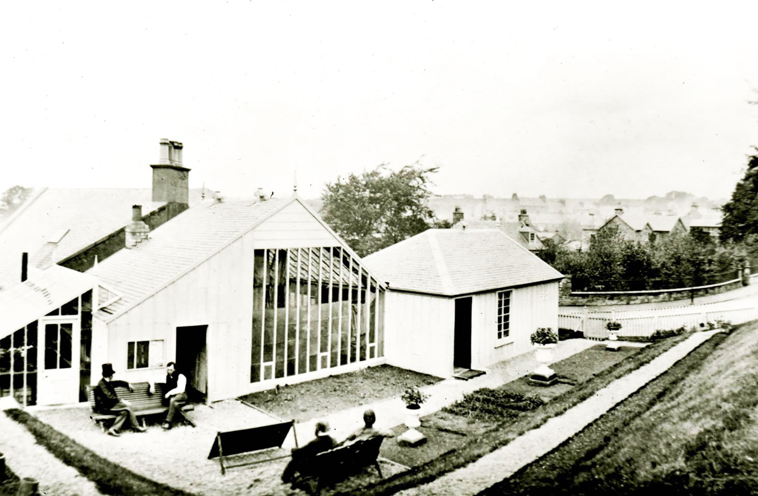
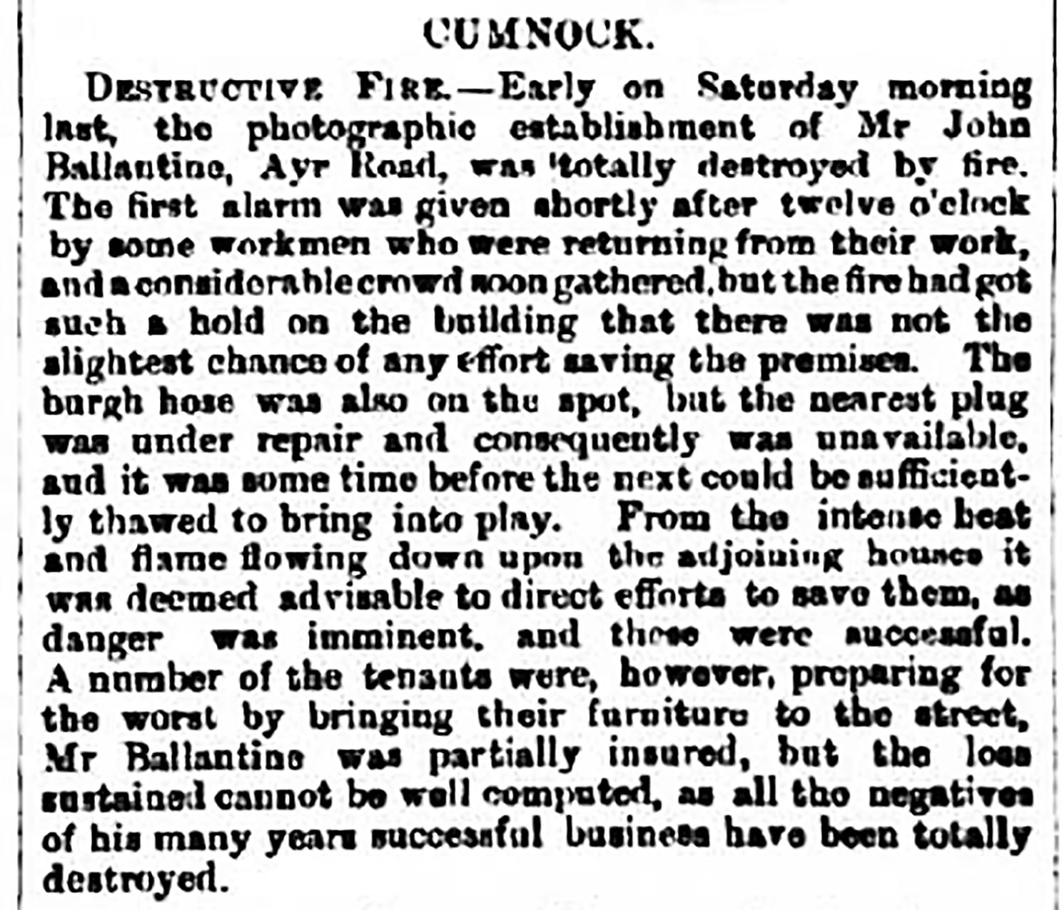
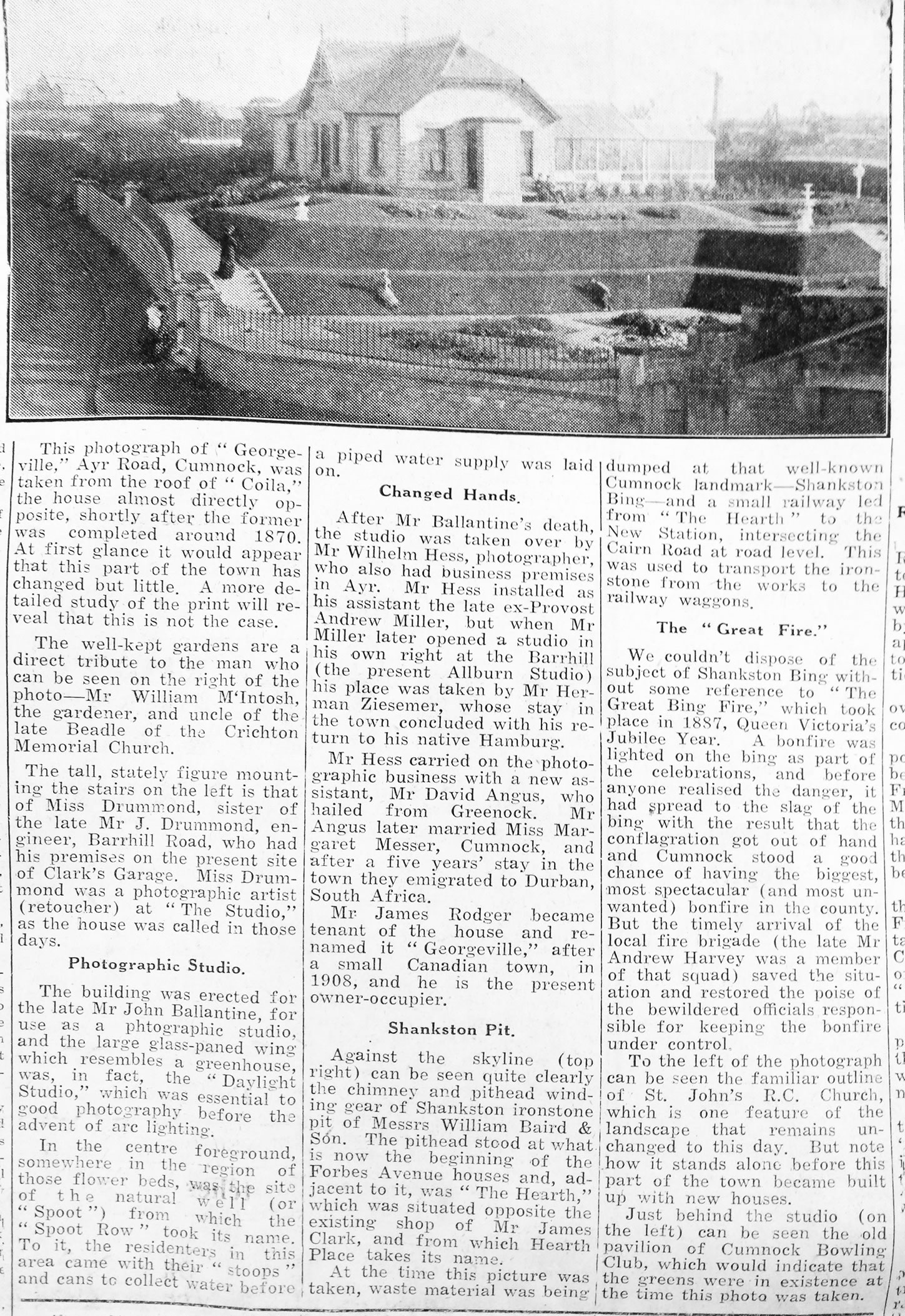
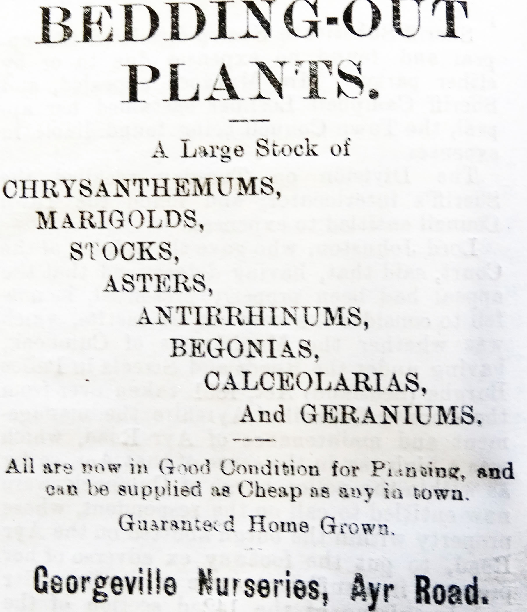
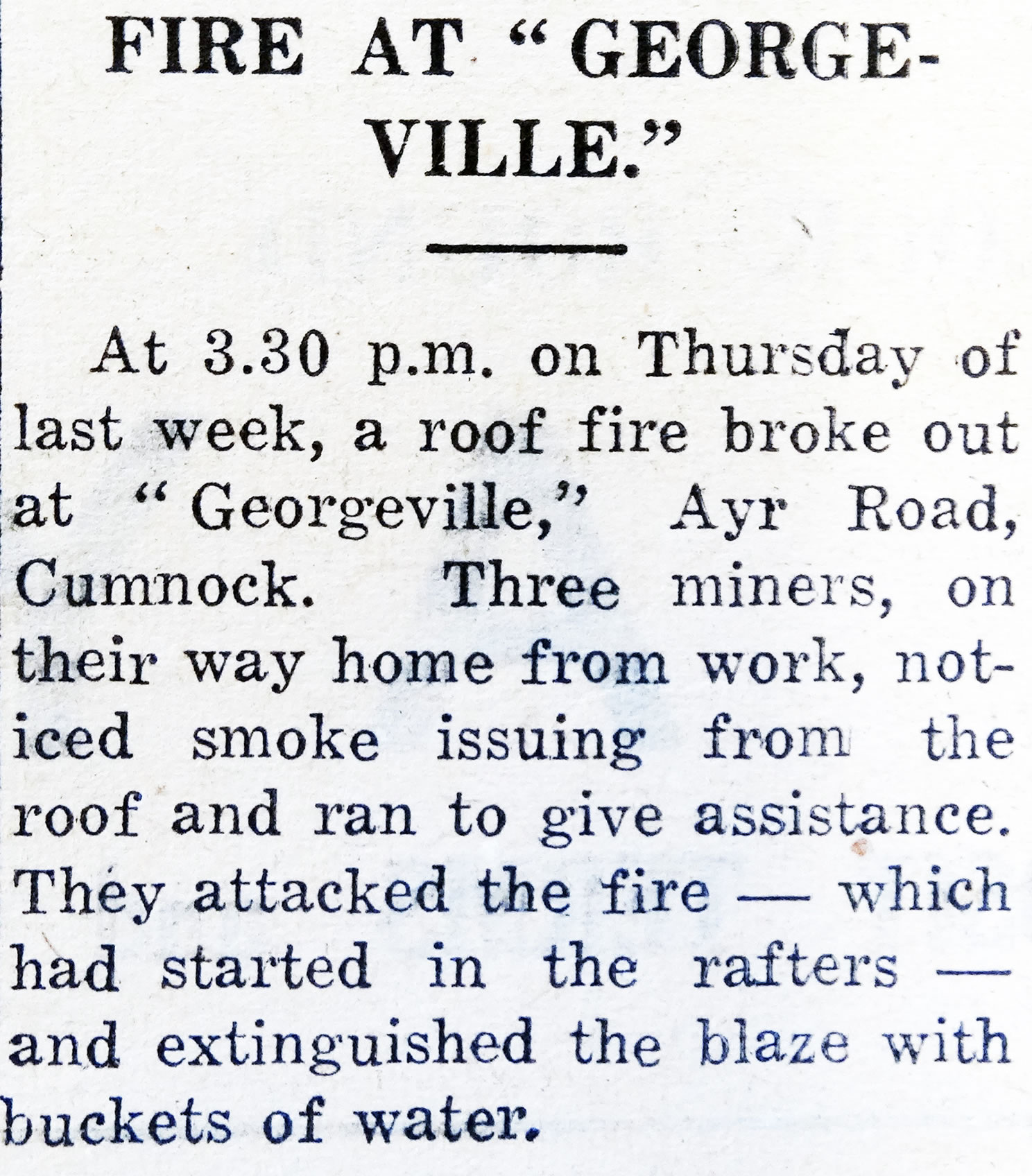
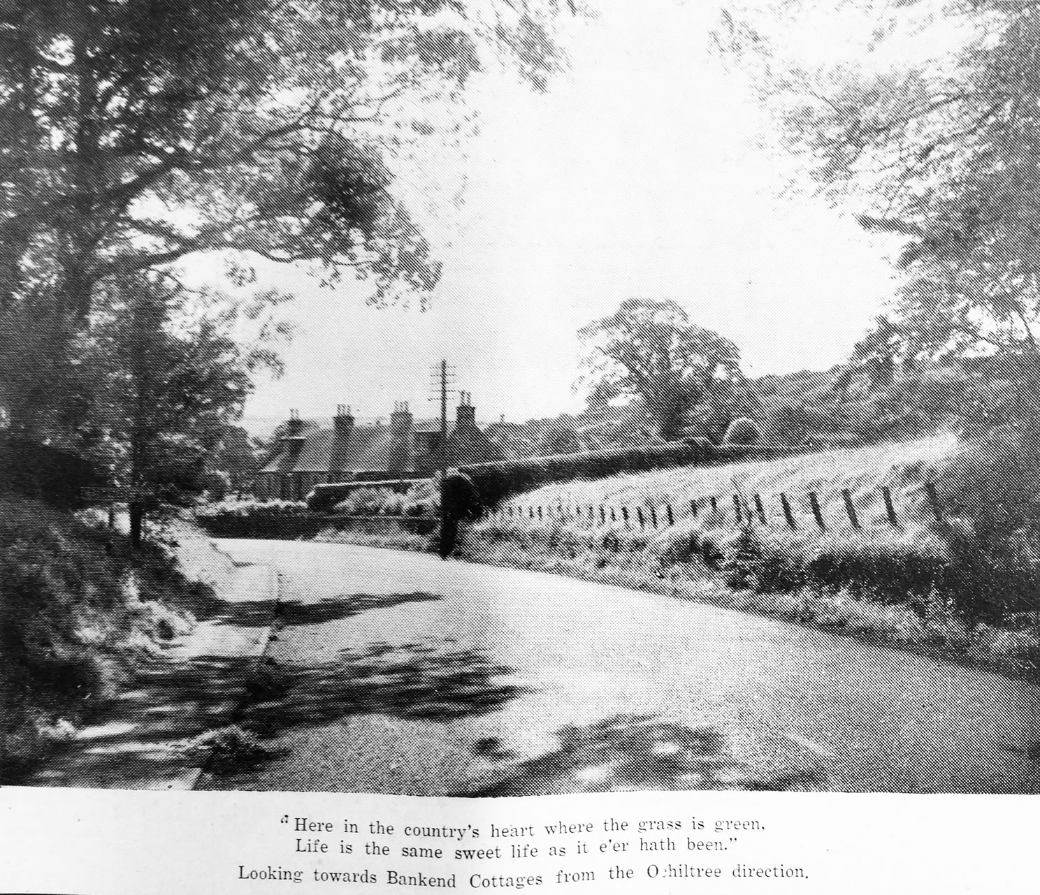
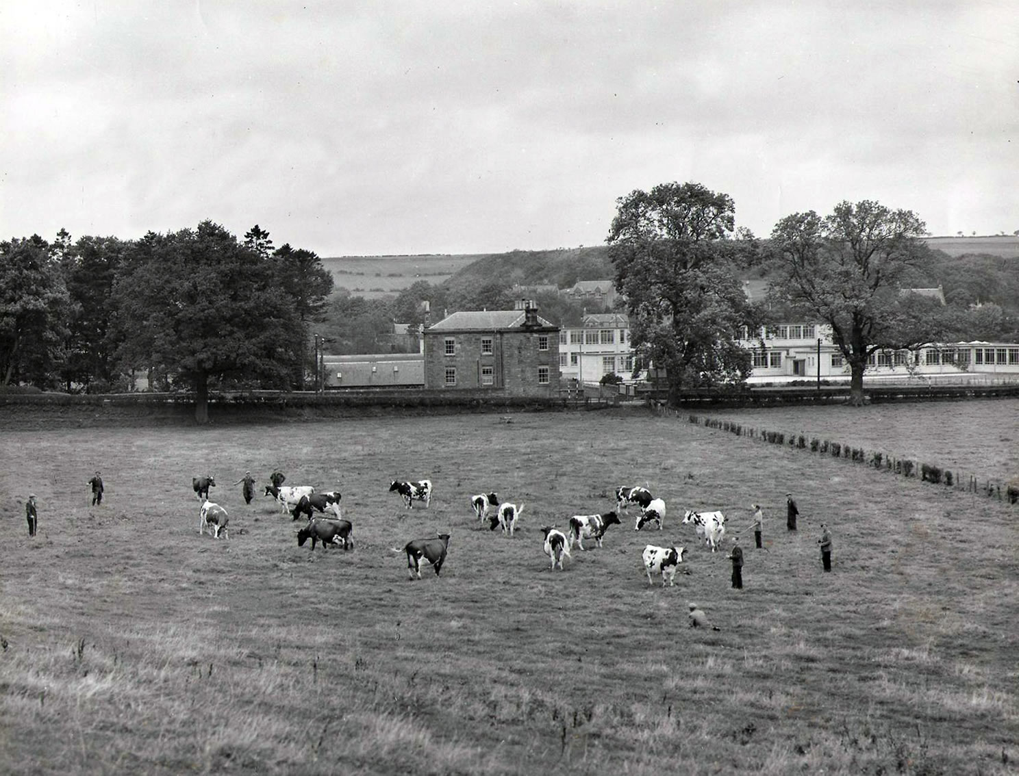
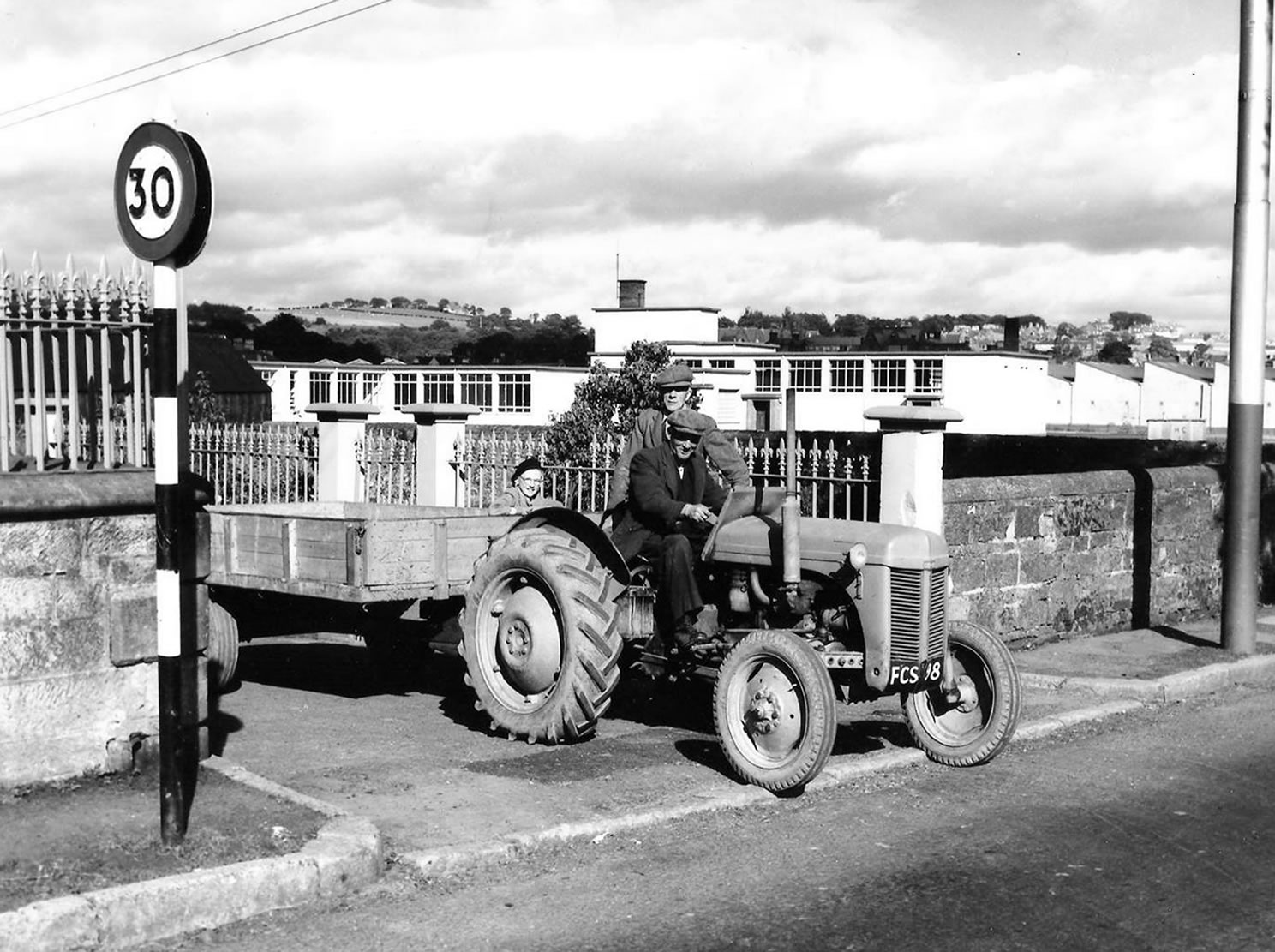
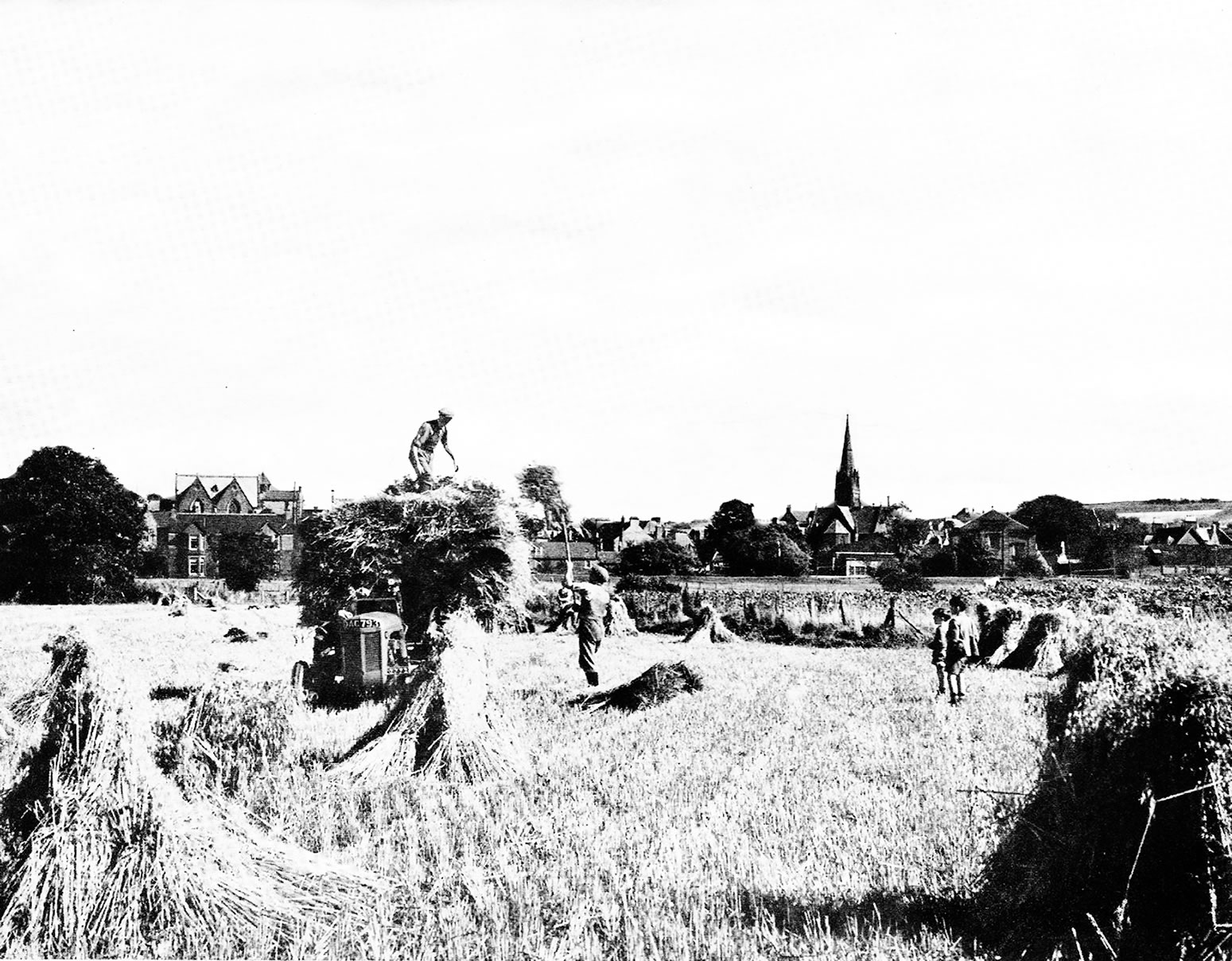
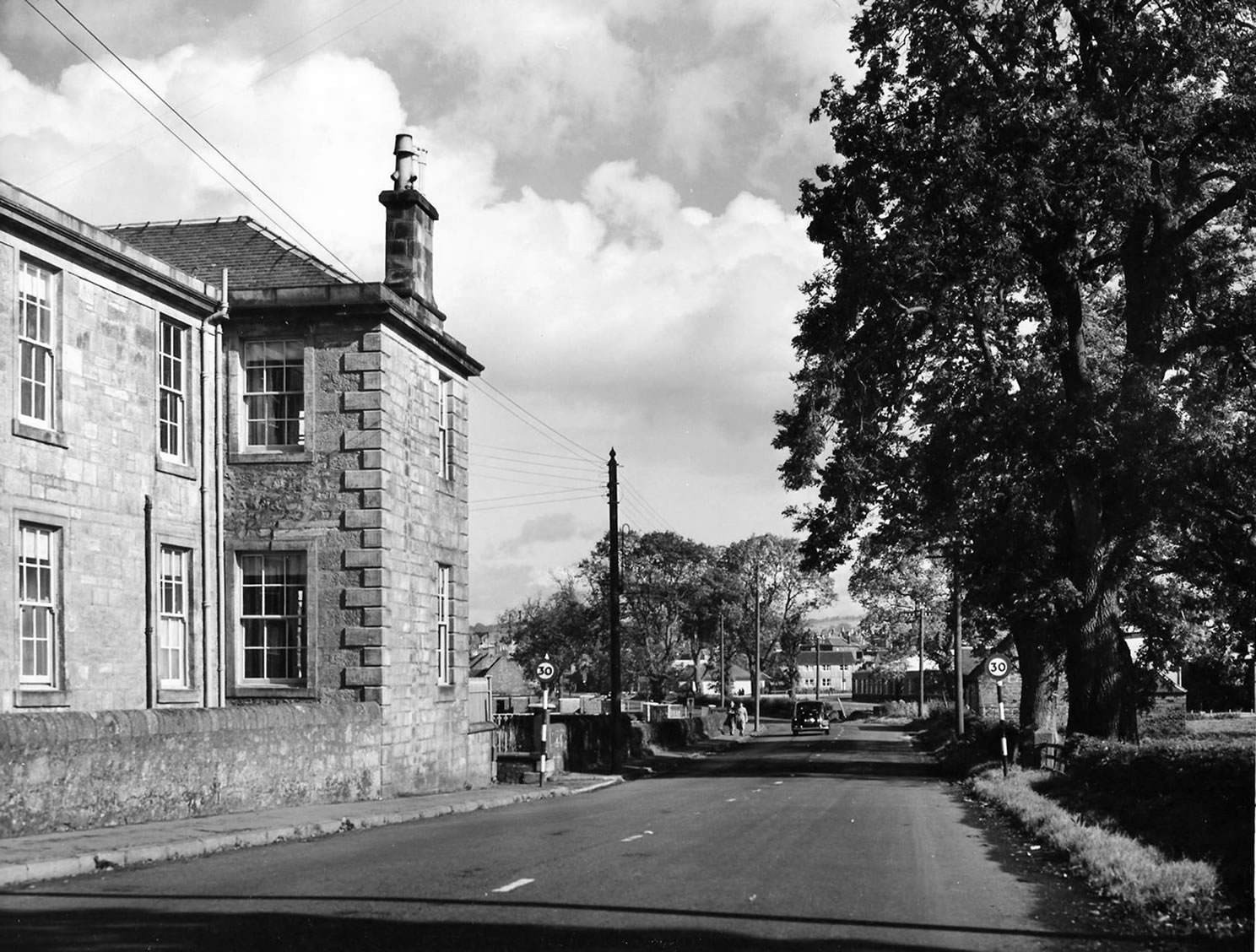
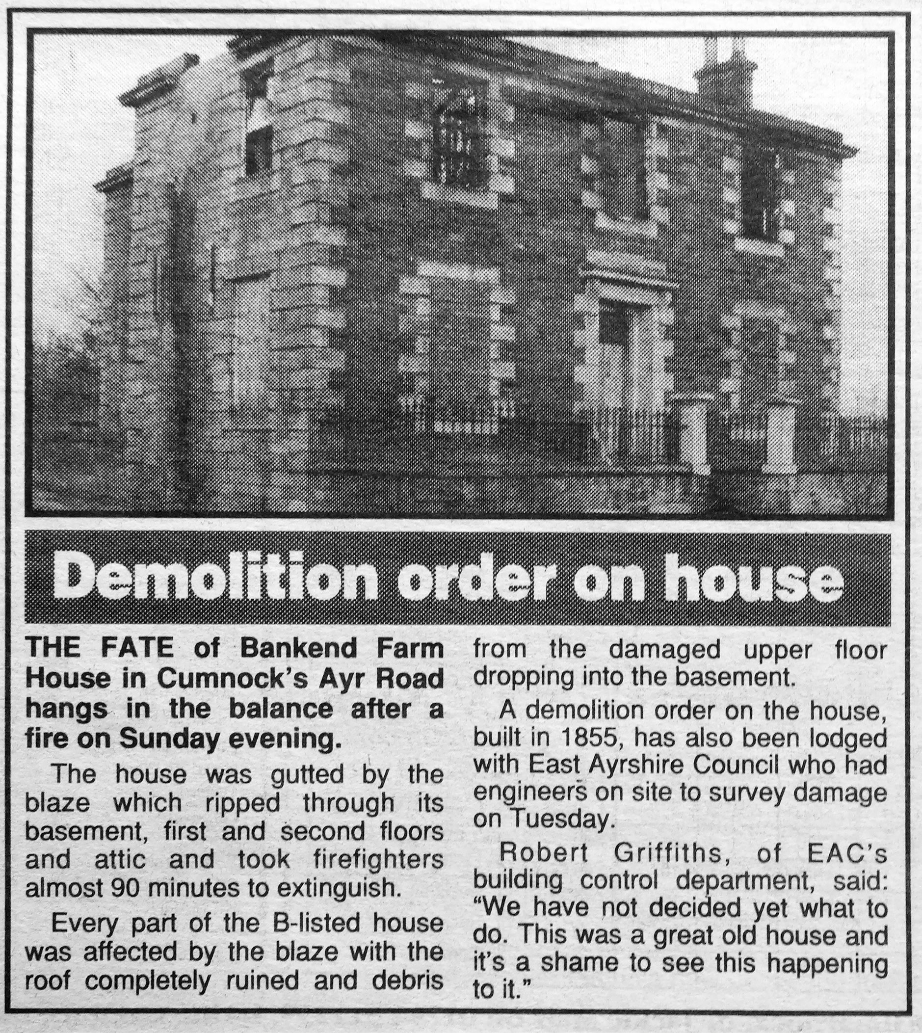
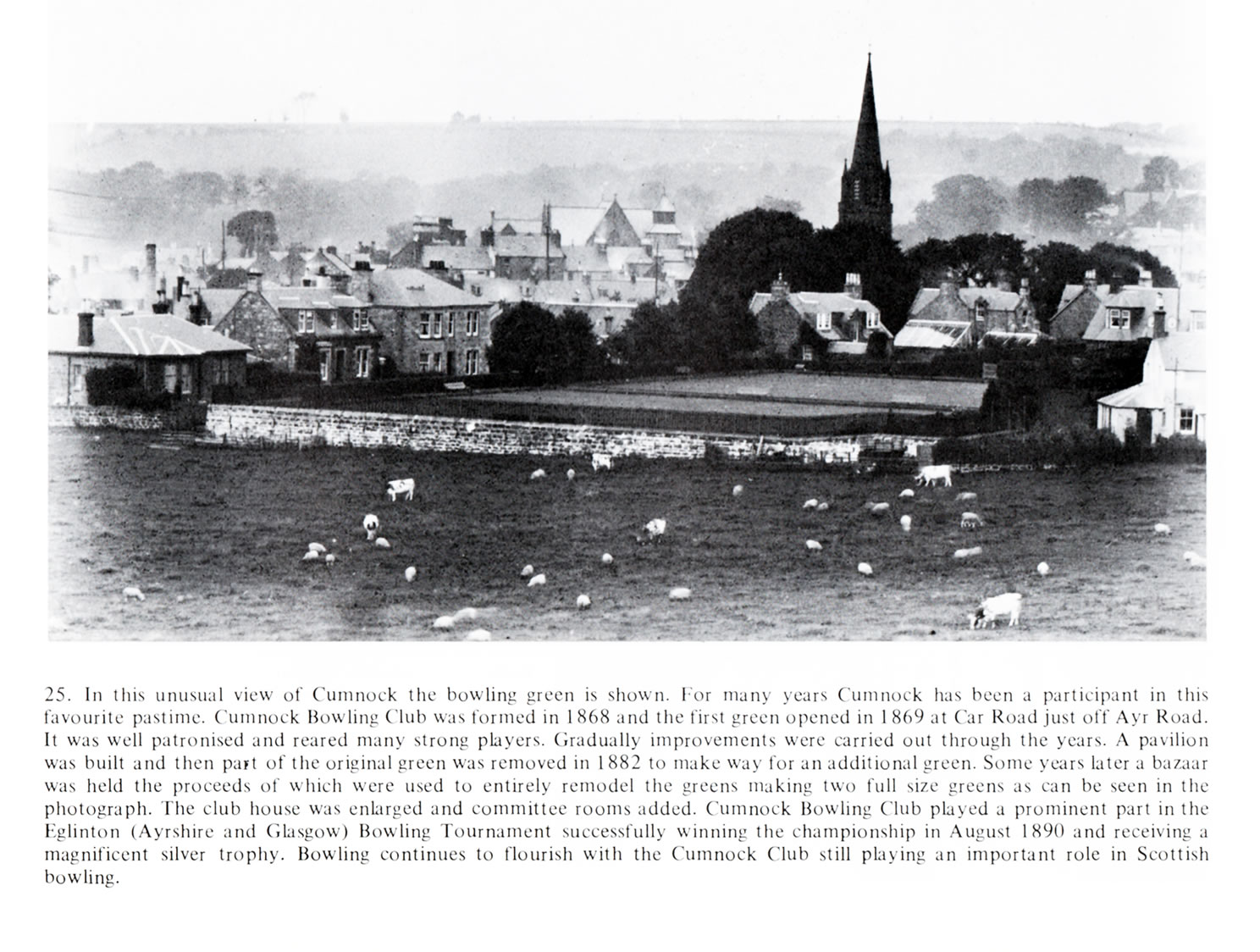
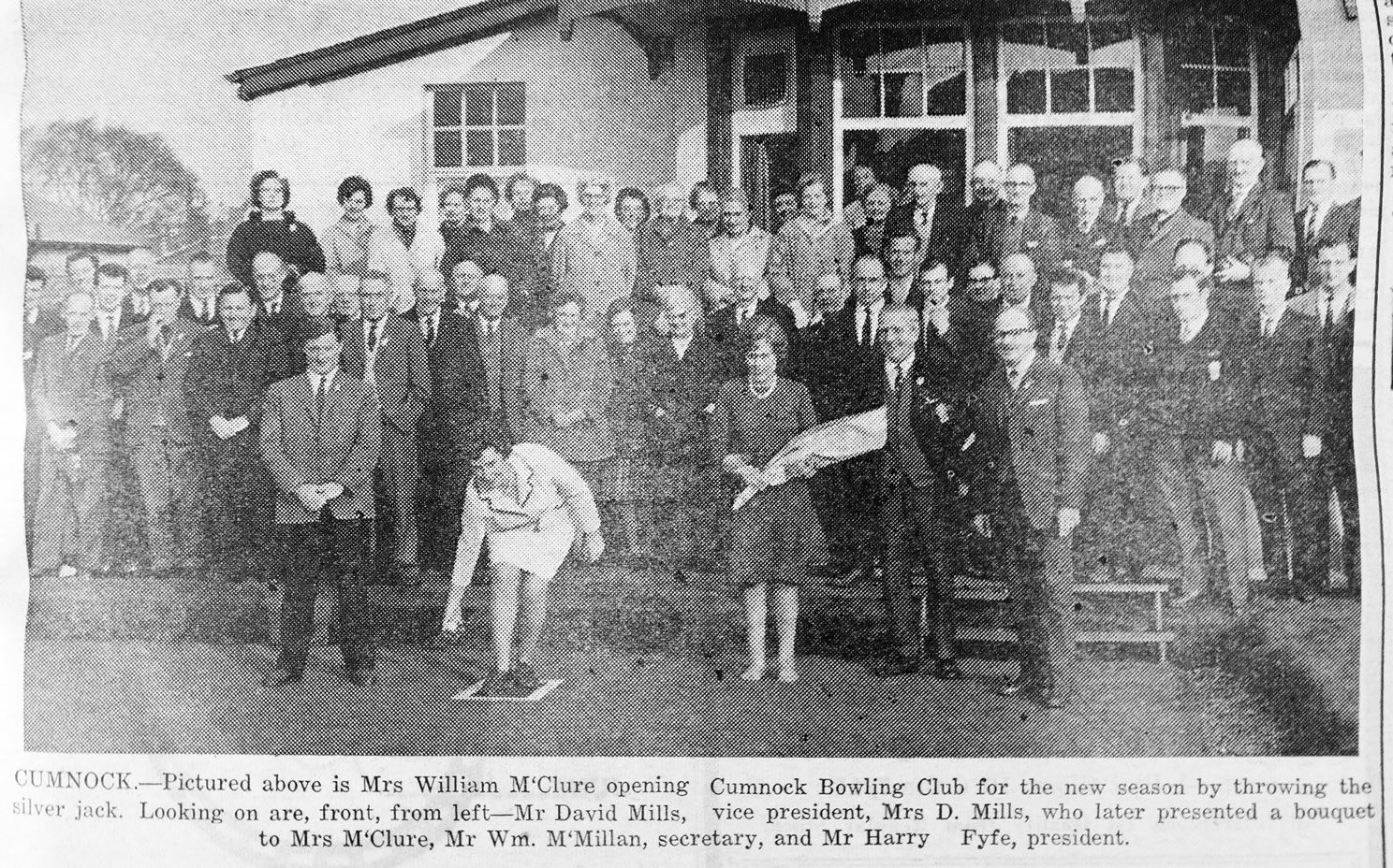
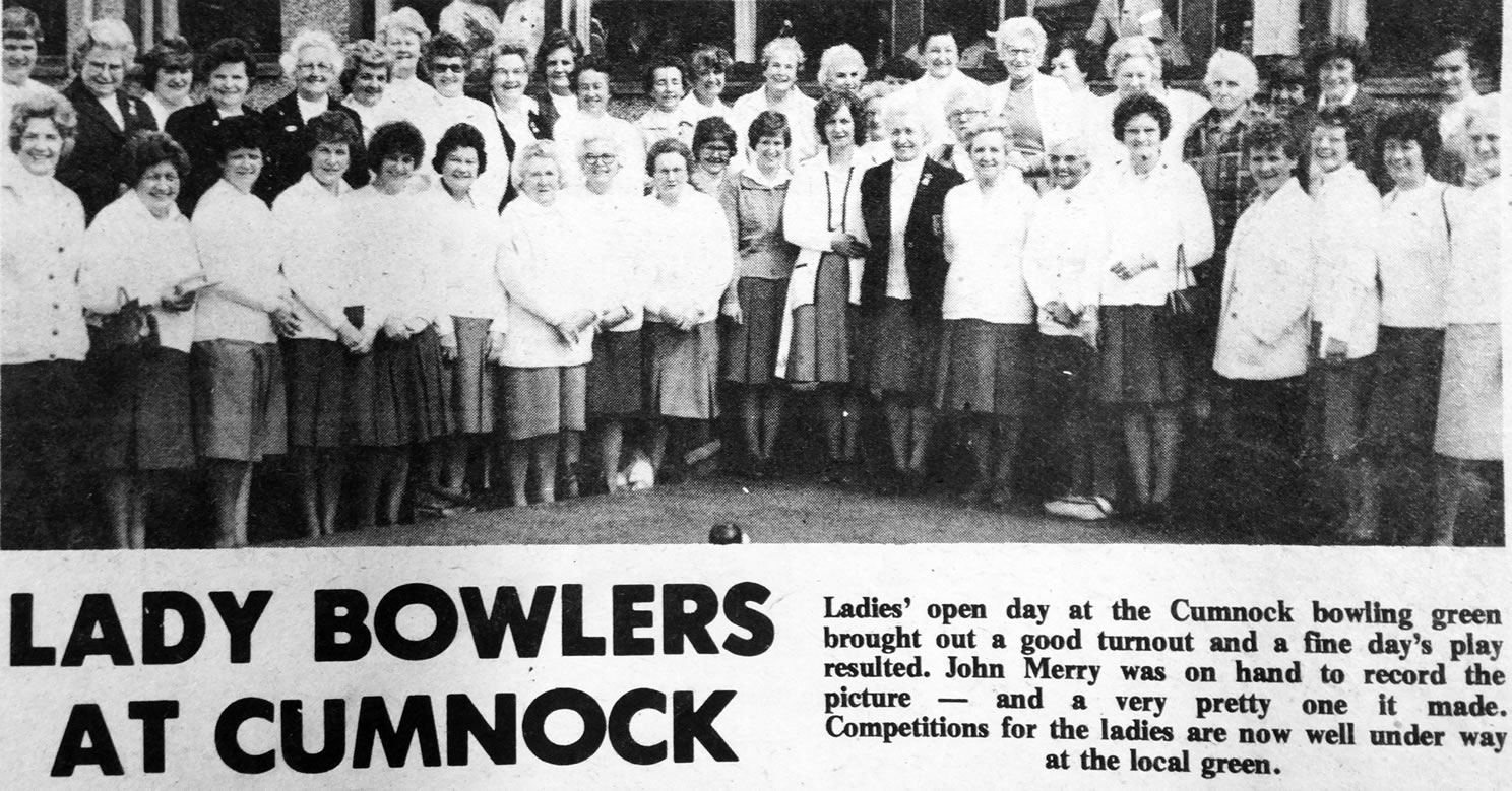
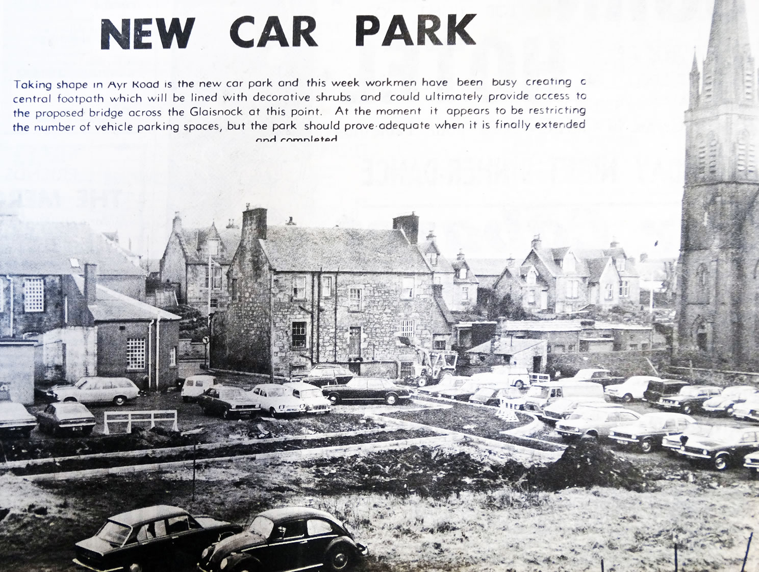
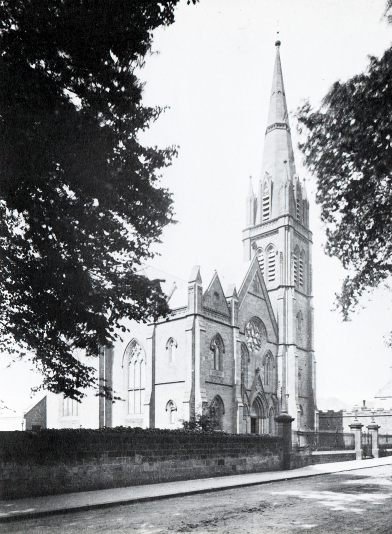
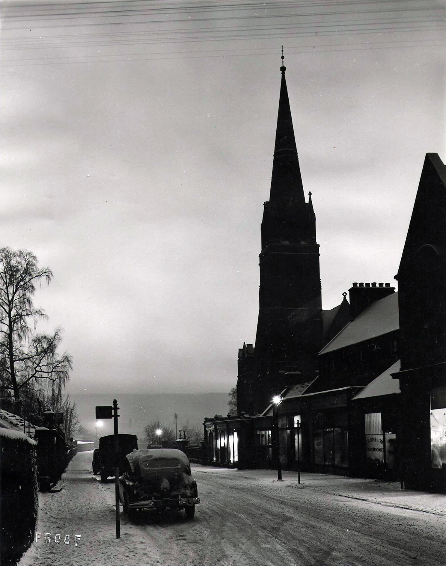
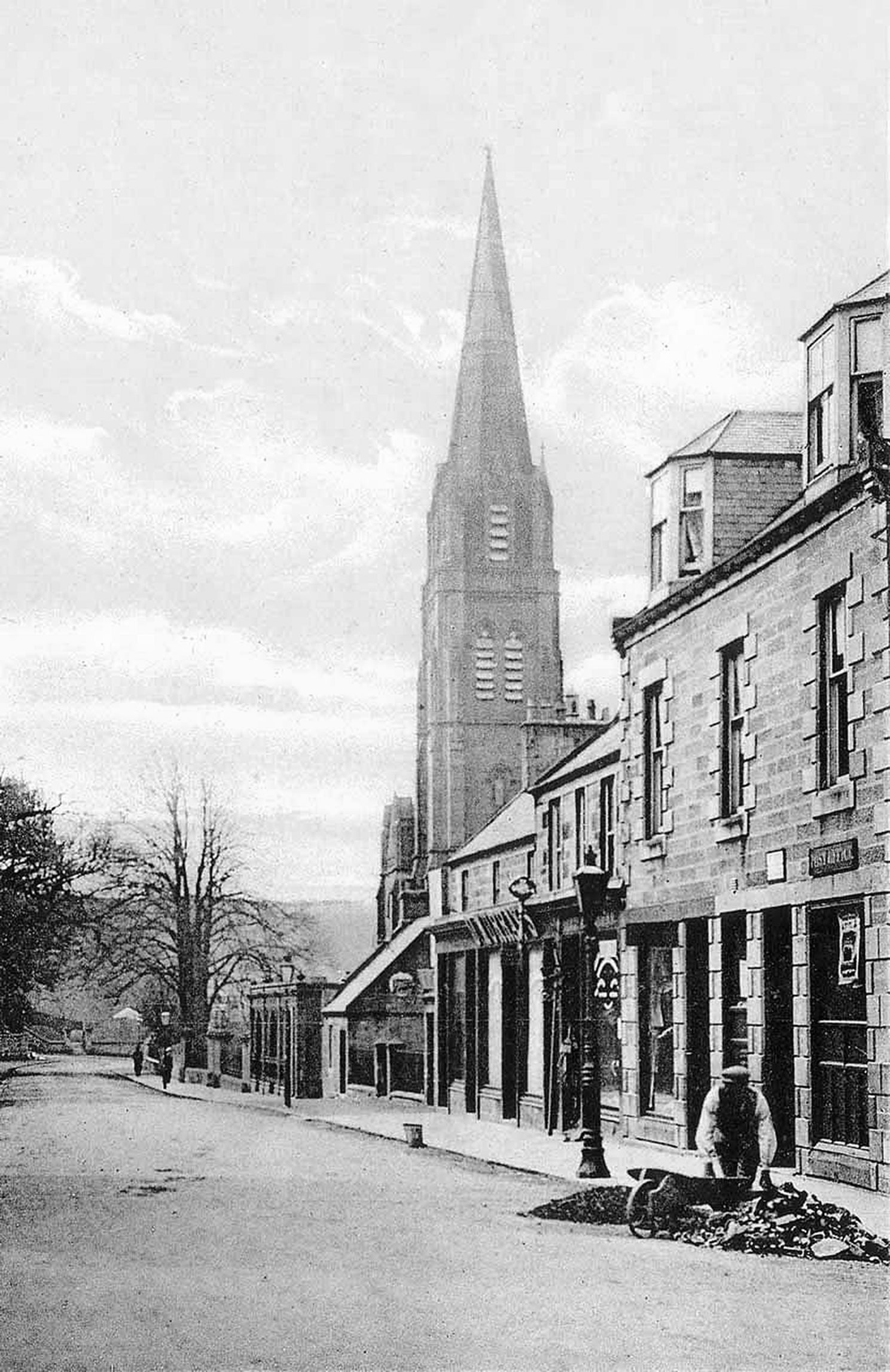
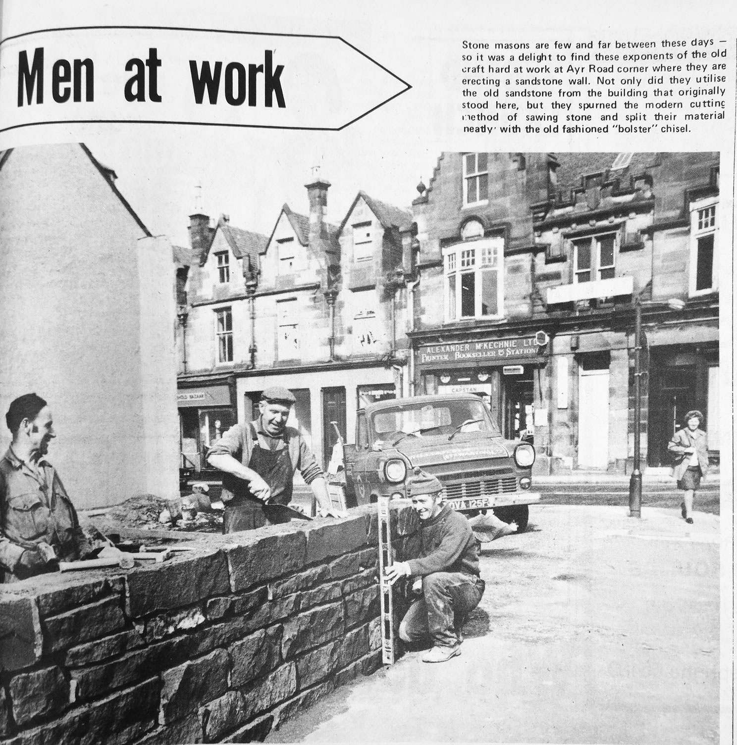
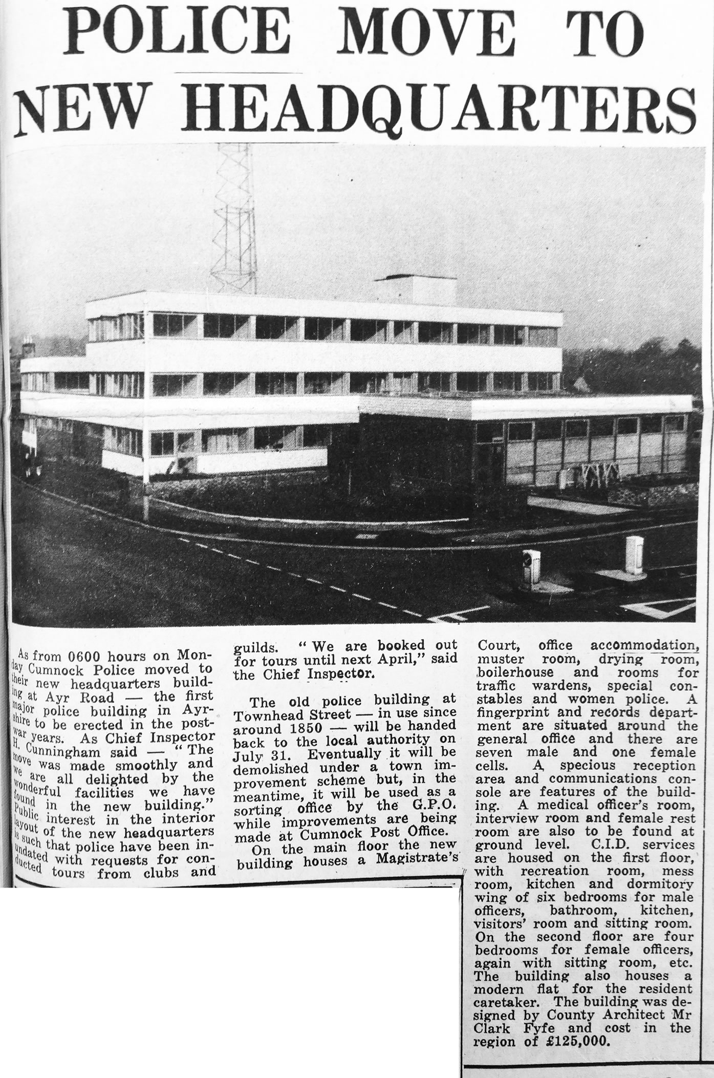
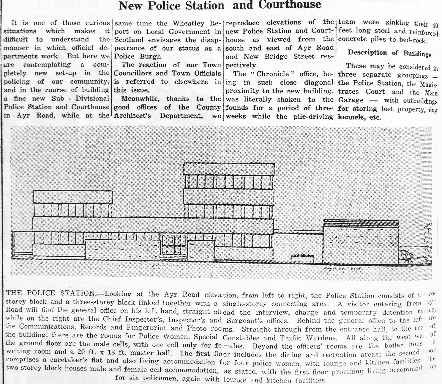
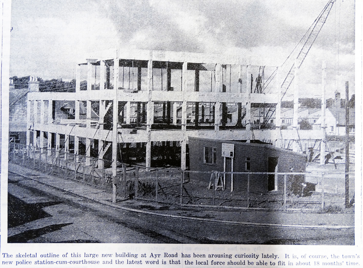
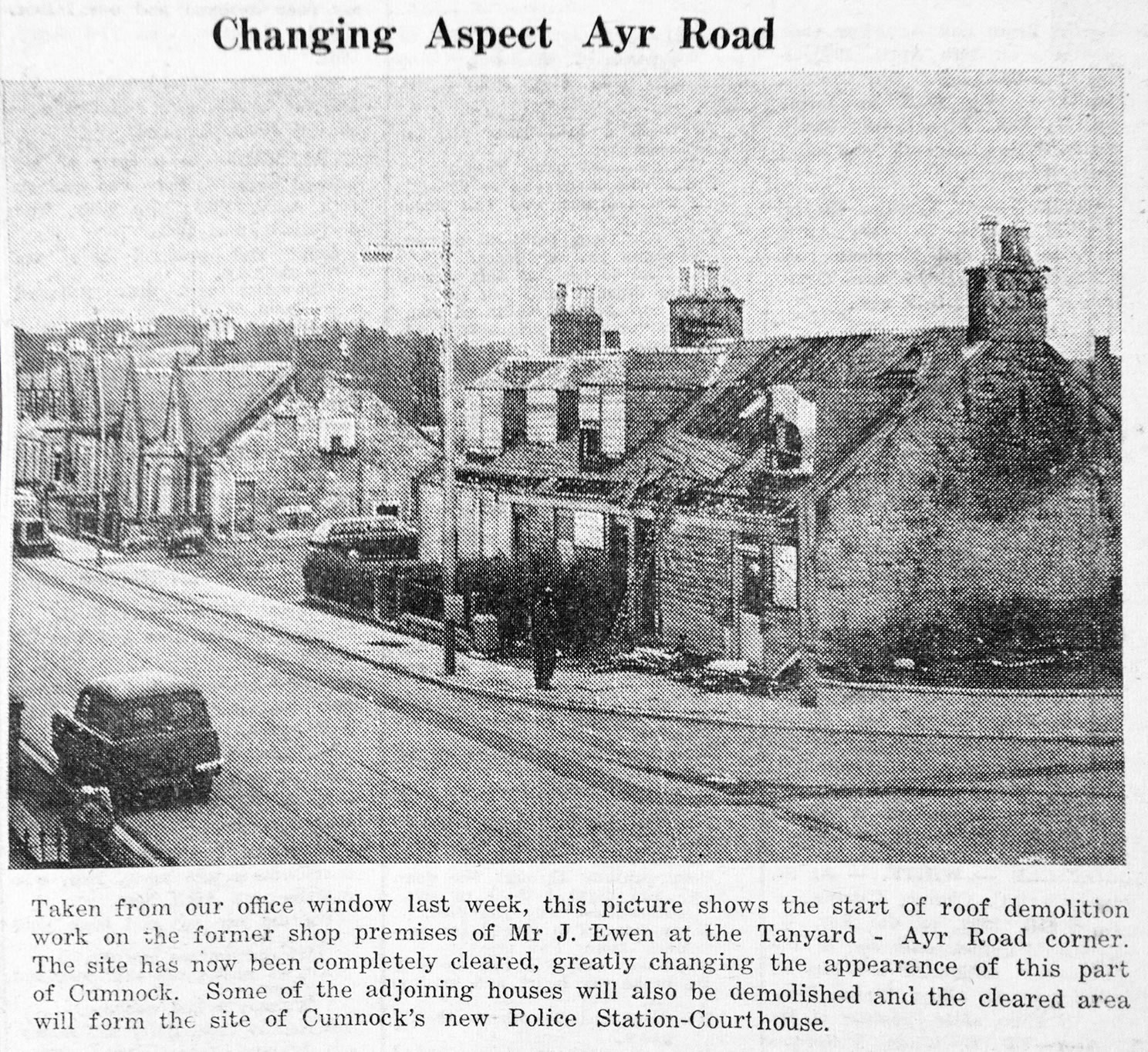
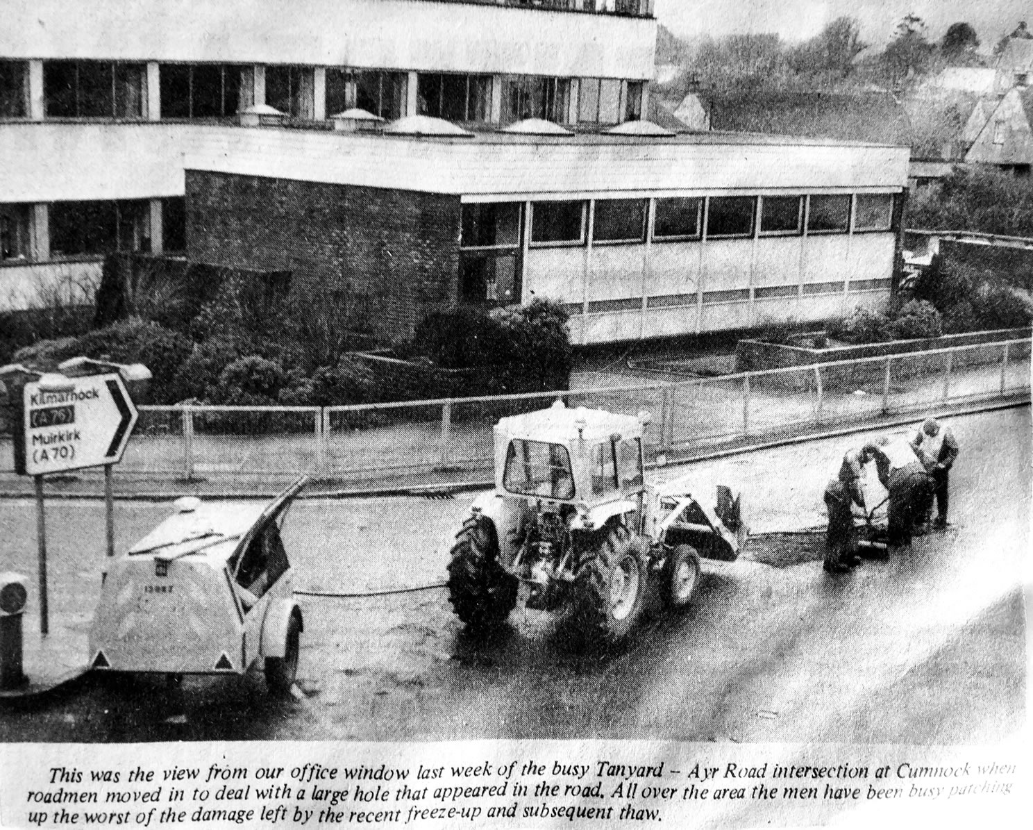
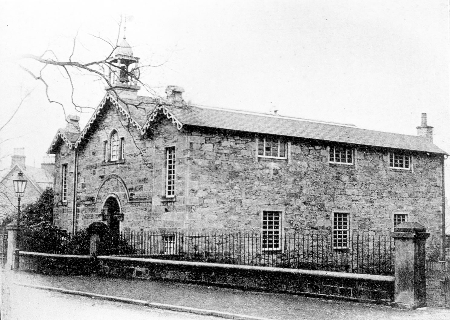
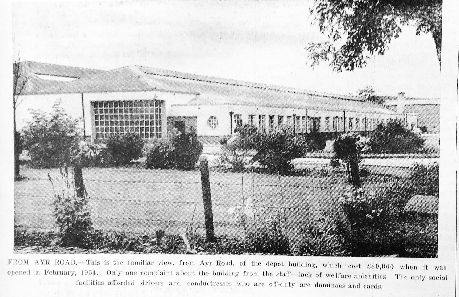
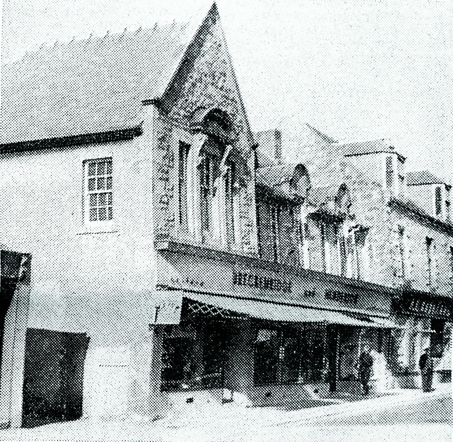
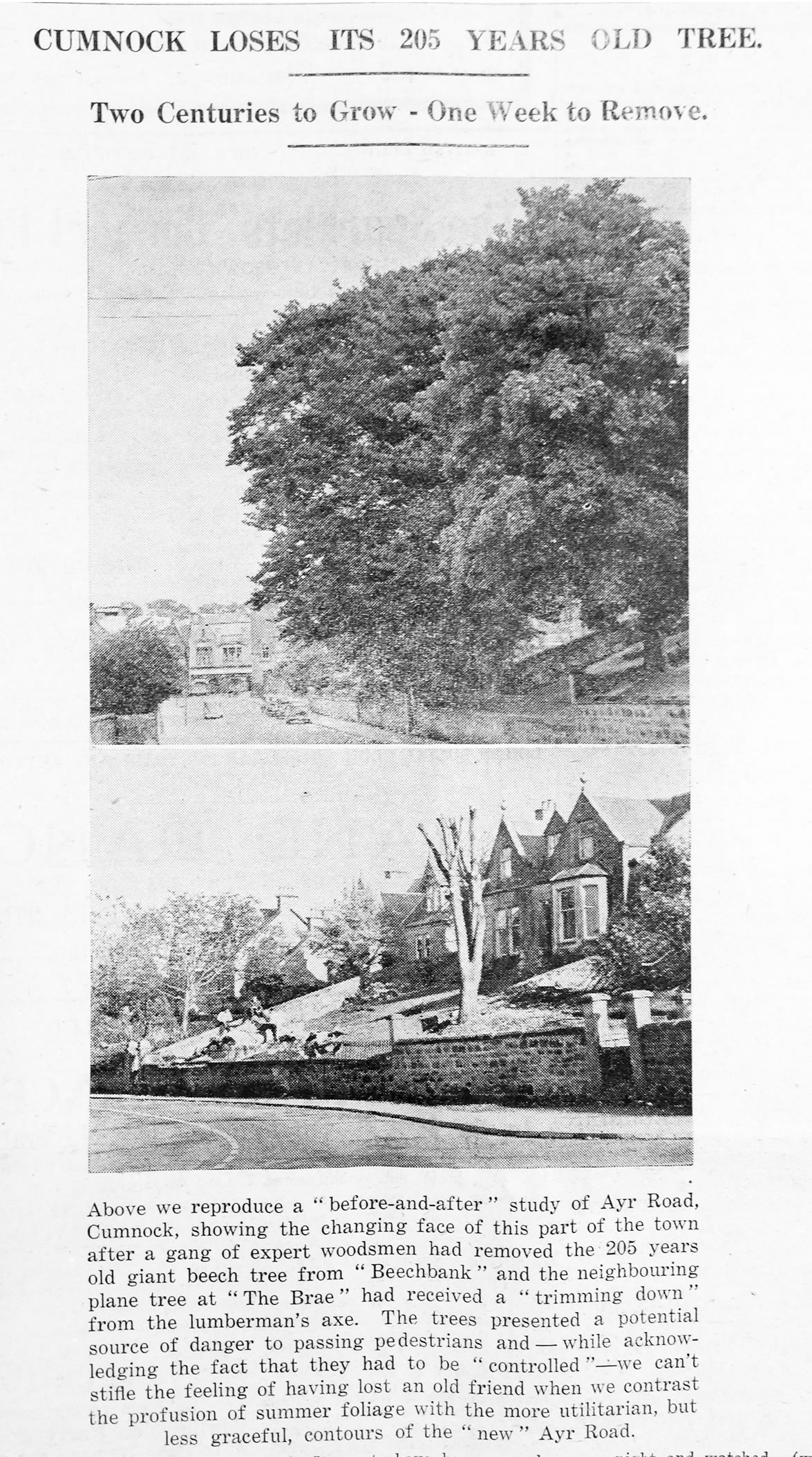
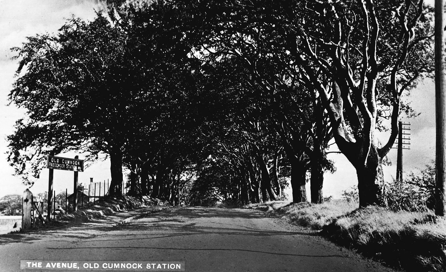
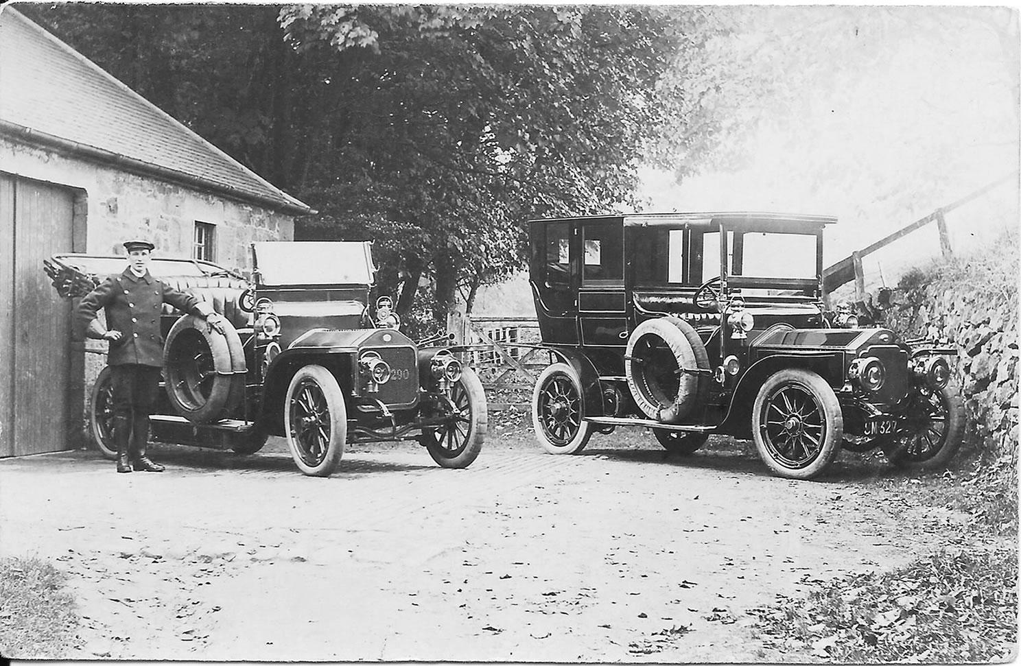
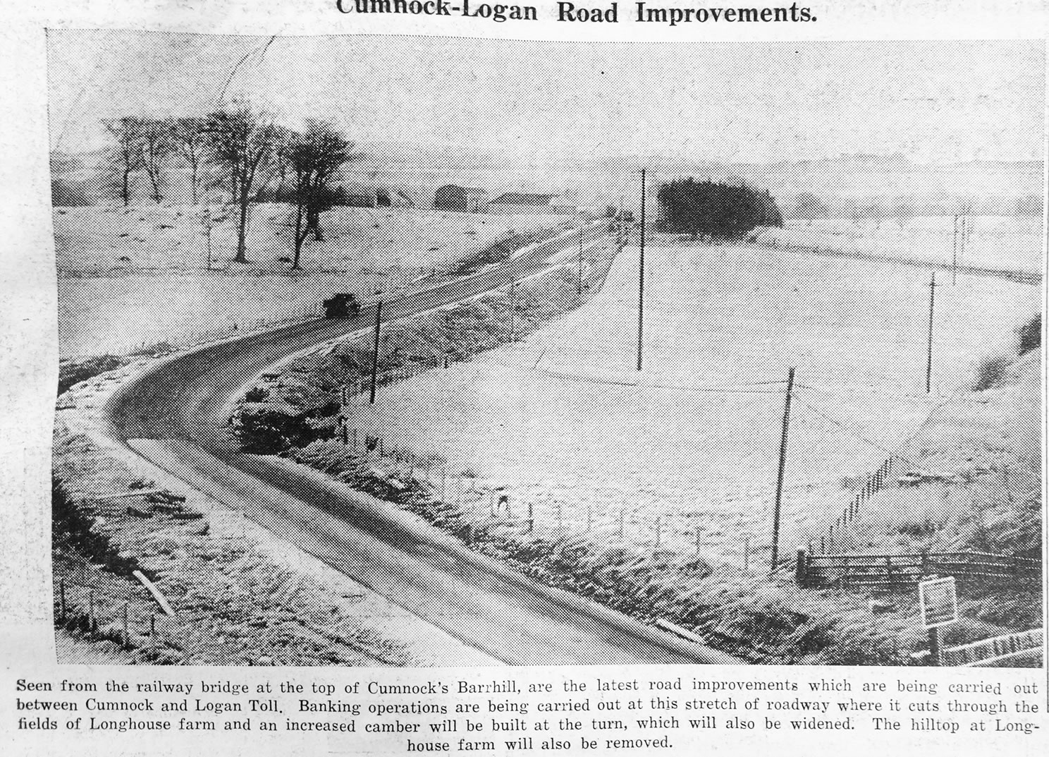
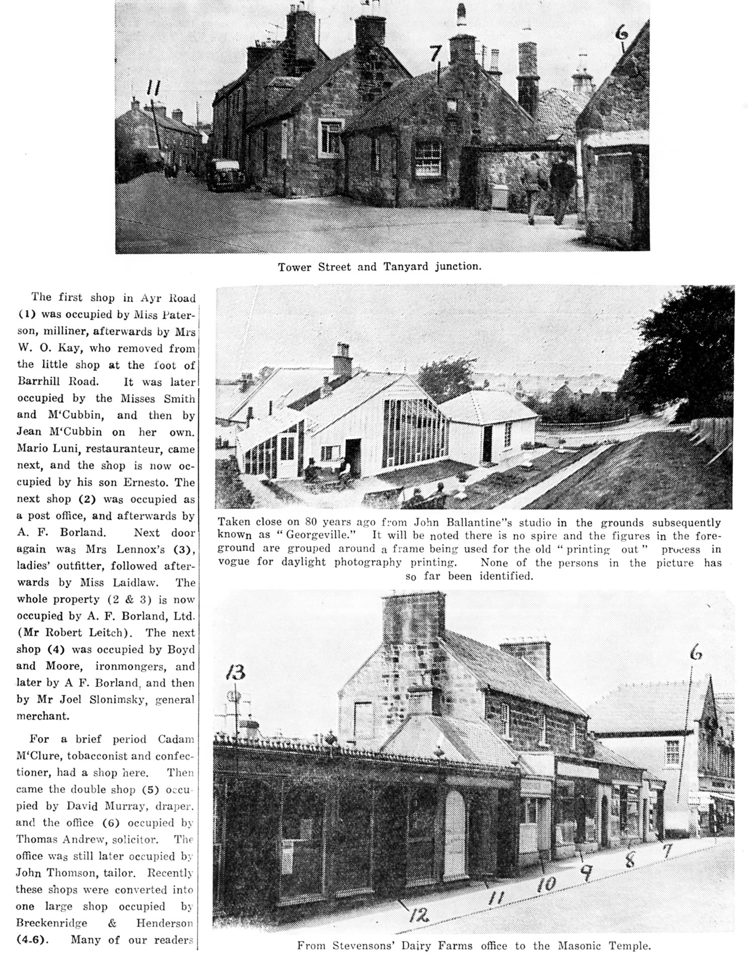
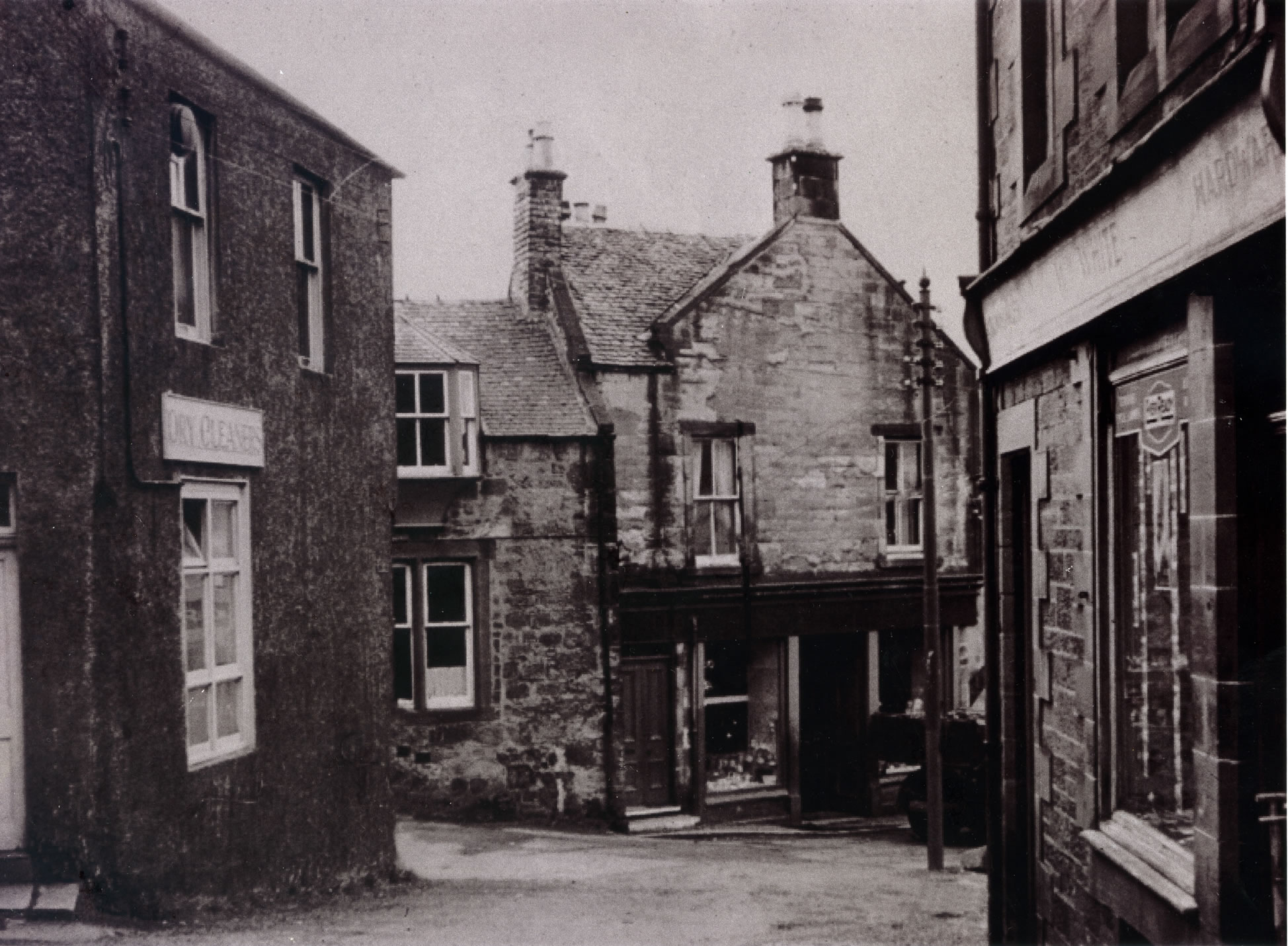
A selection of views and articles about Ayr Road and the surrounding area.
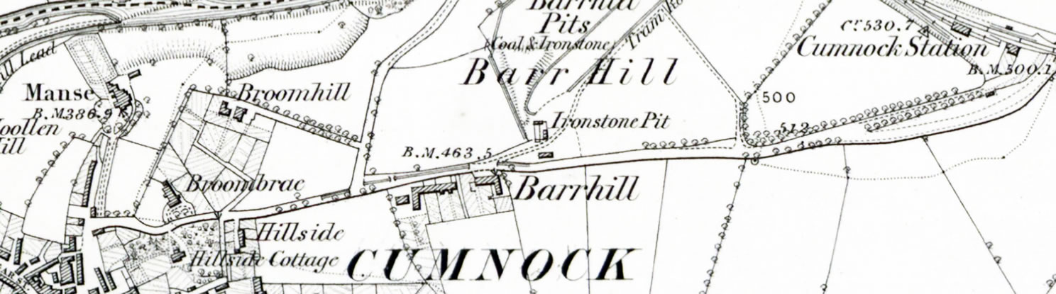
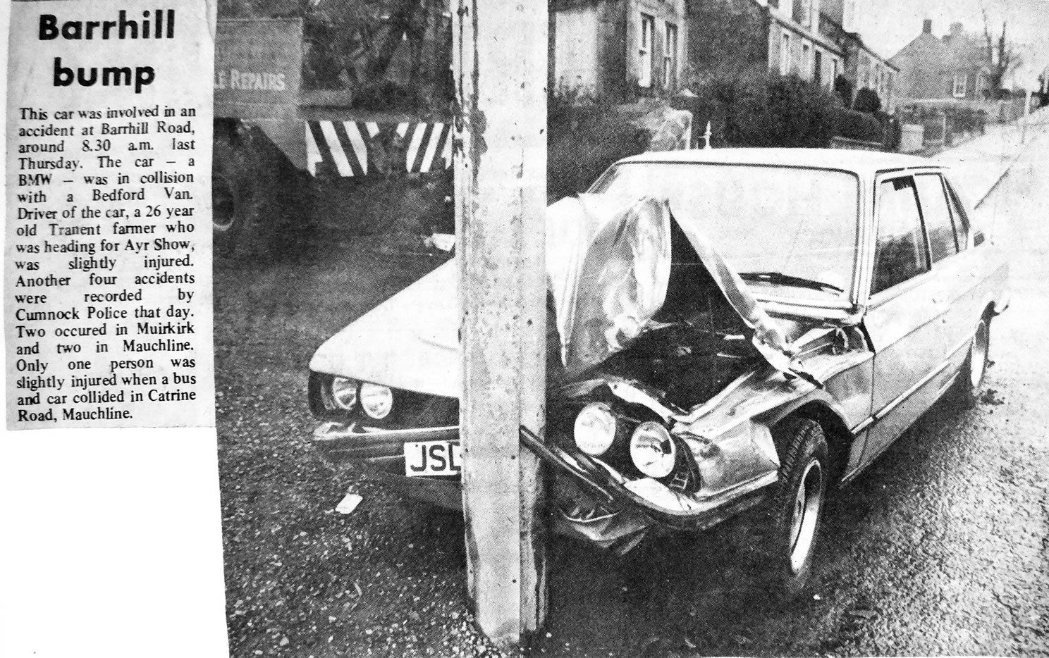
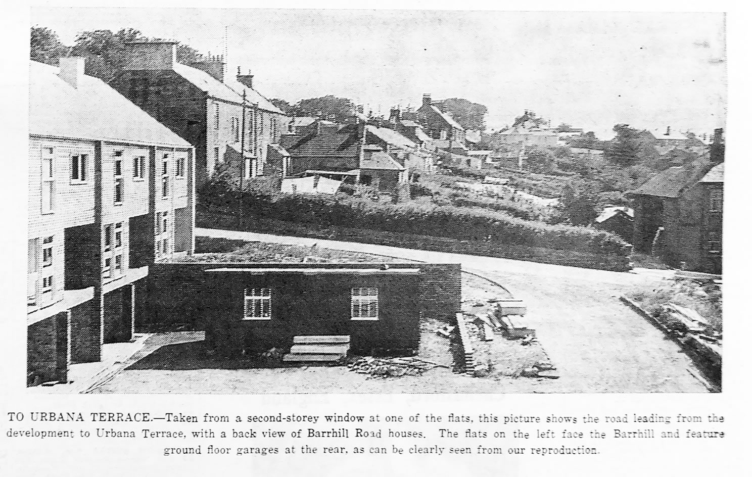
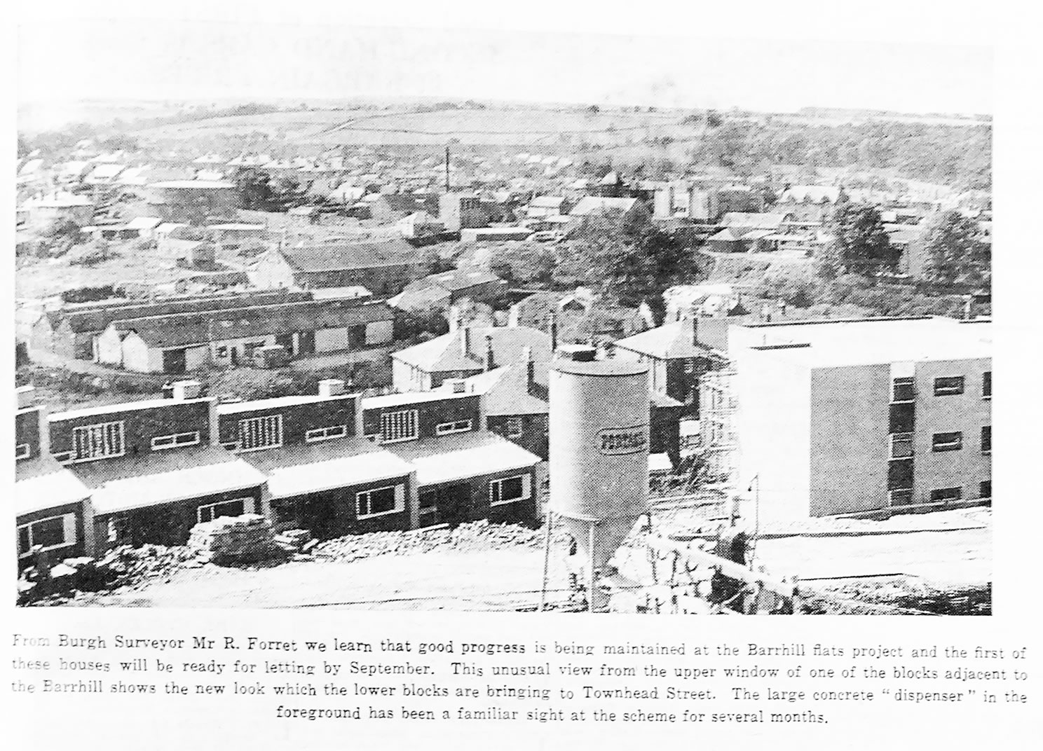
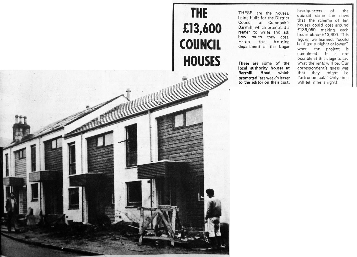
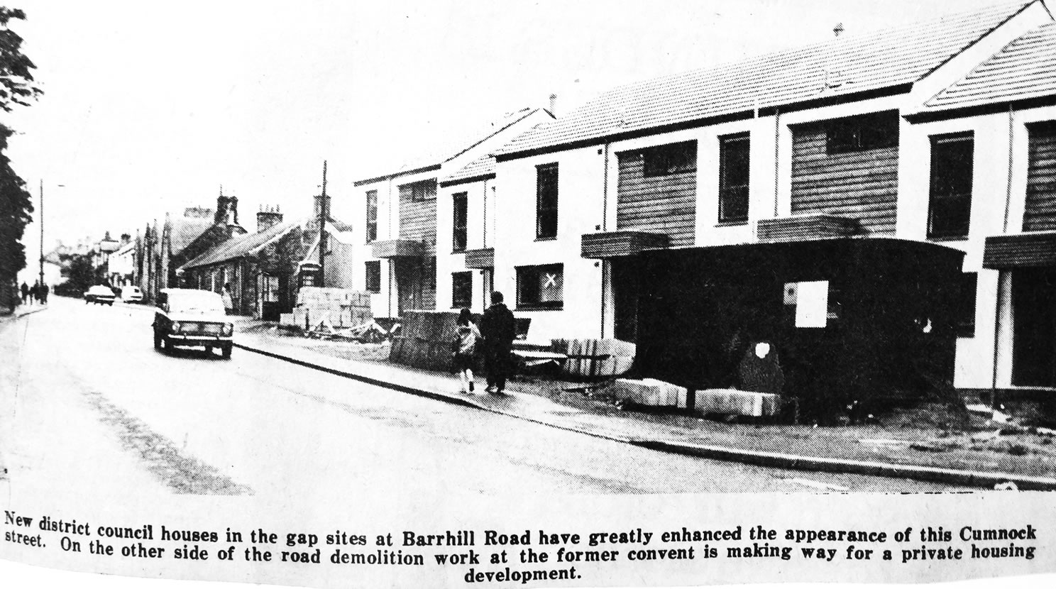
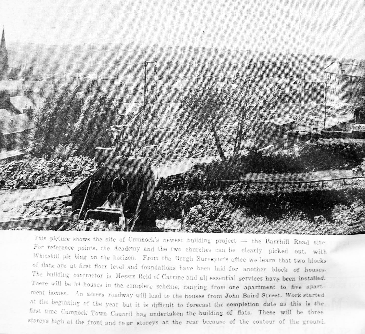
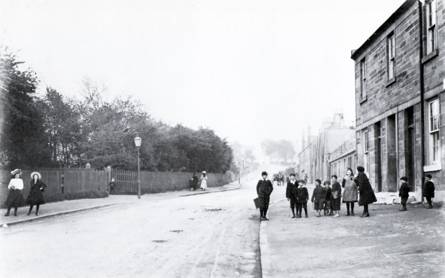
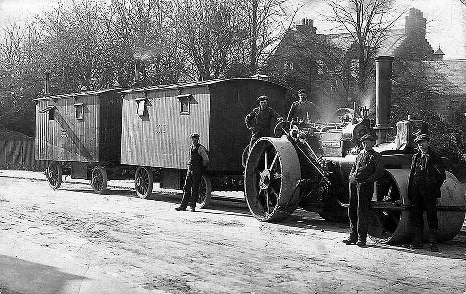
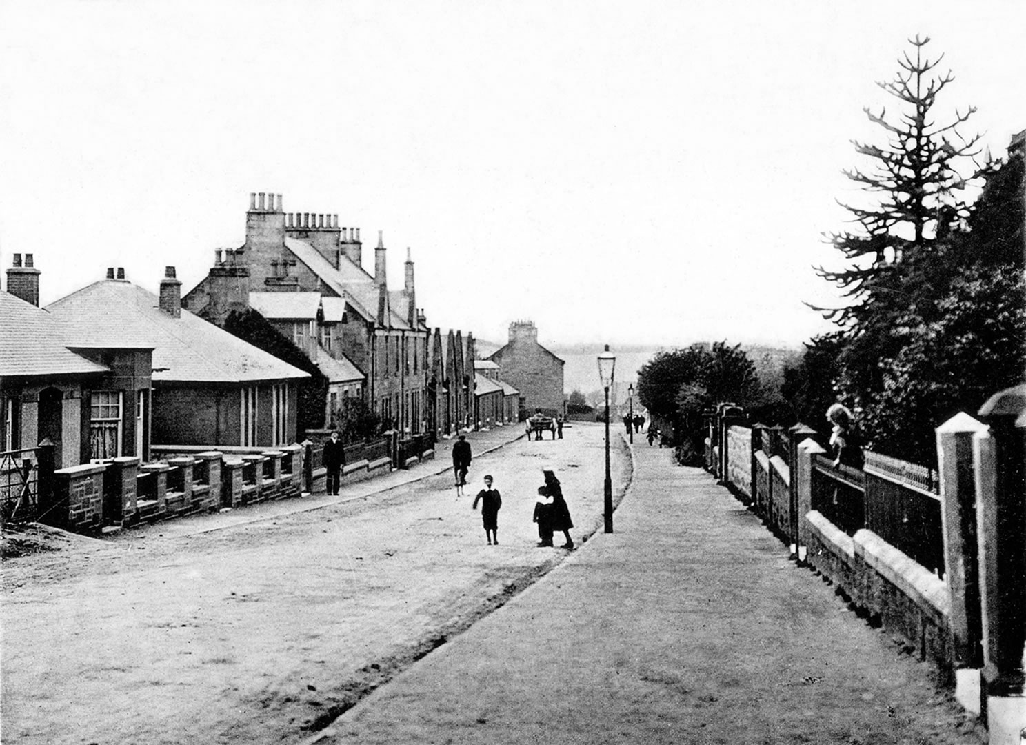
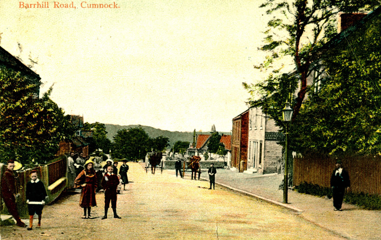
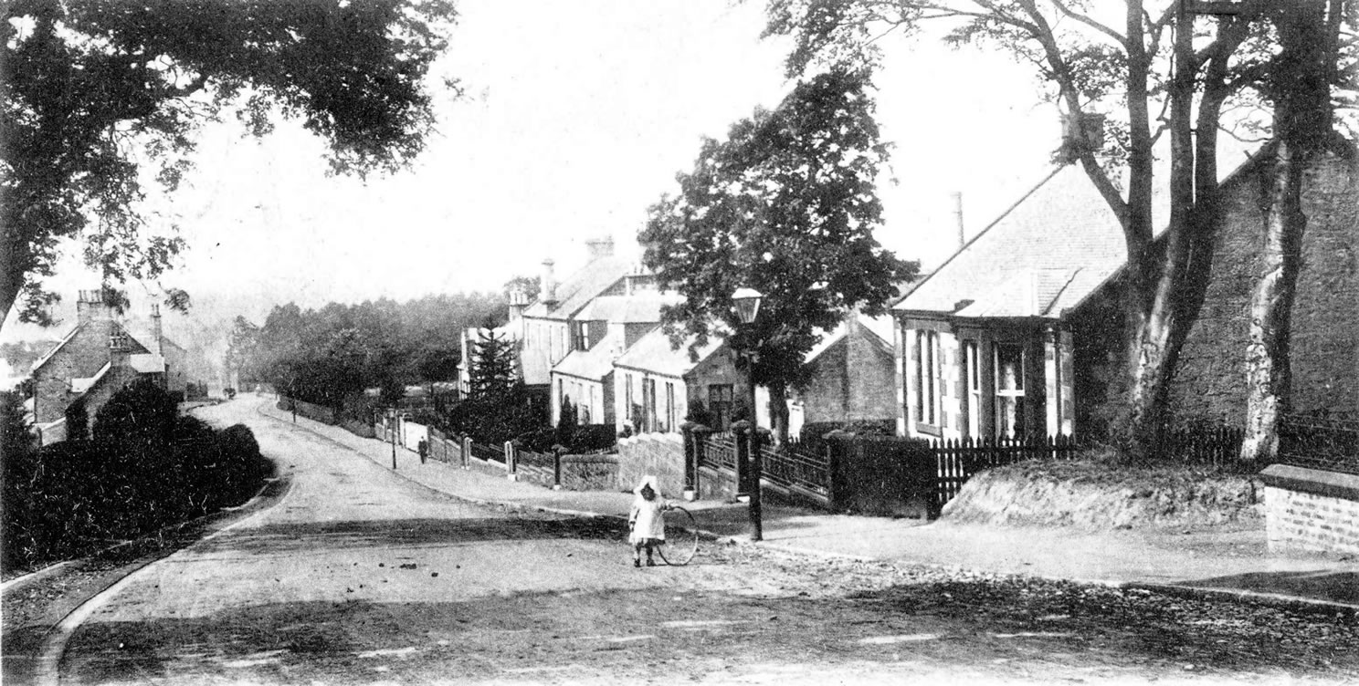
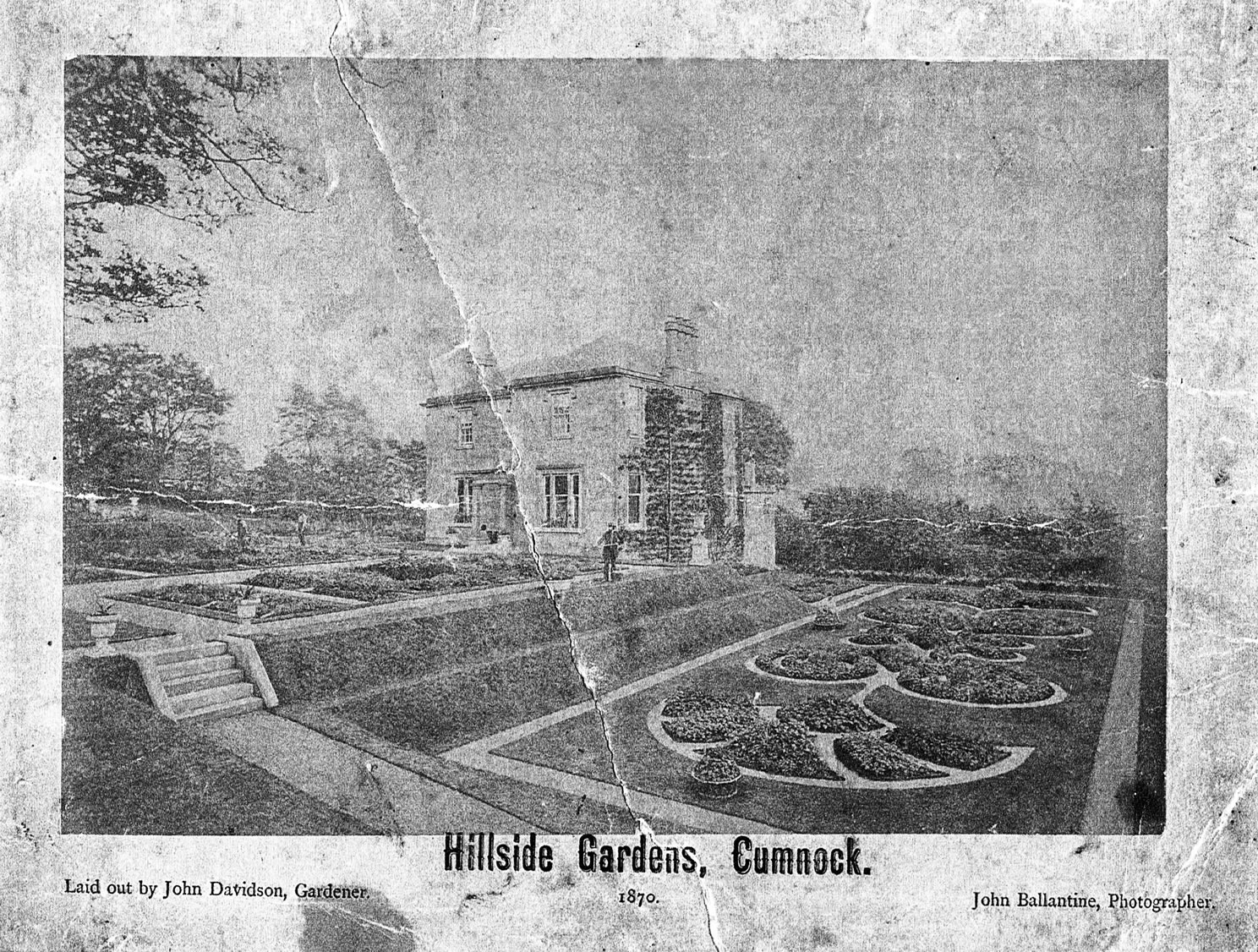
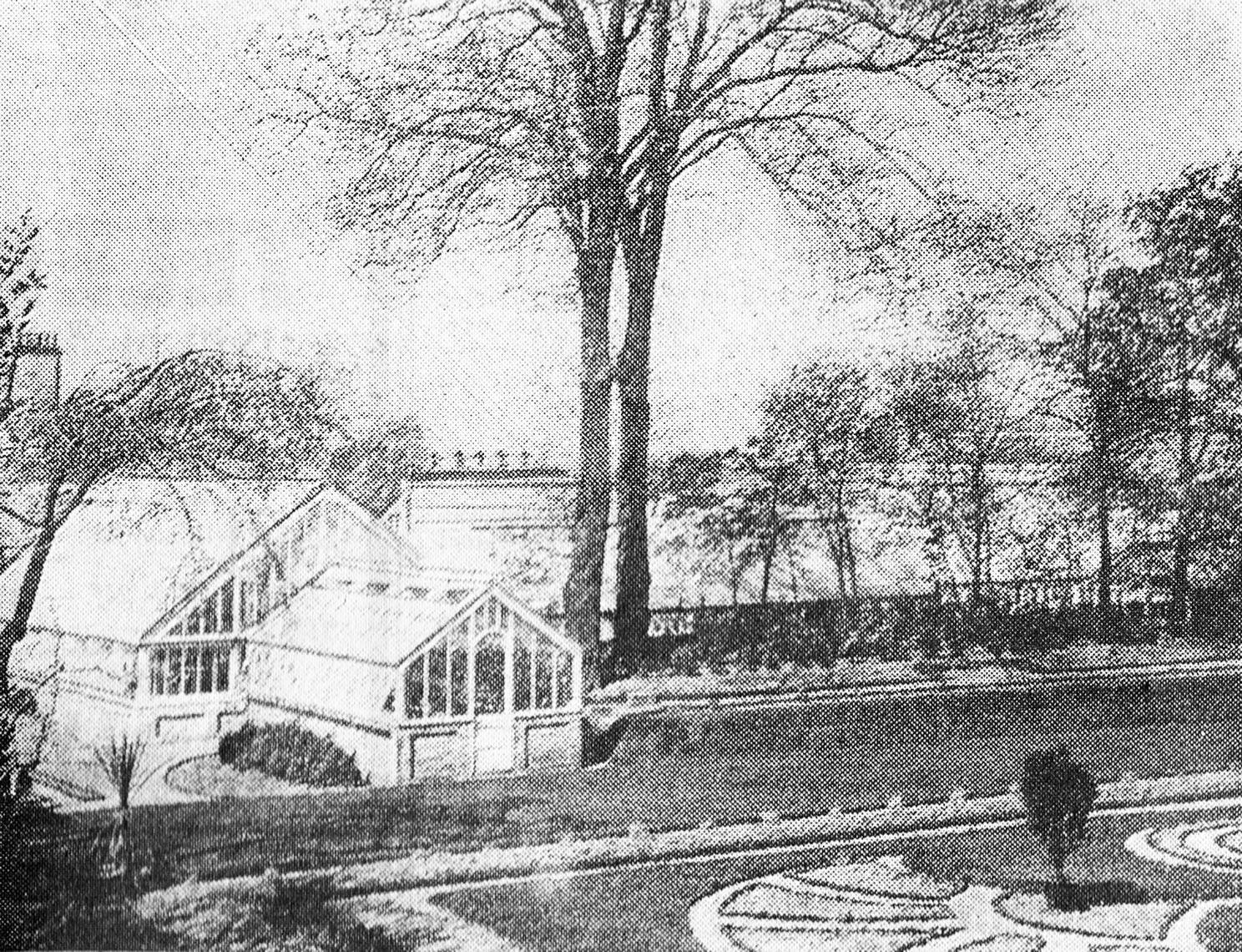
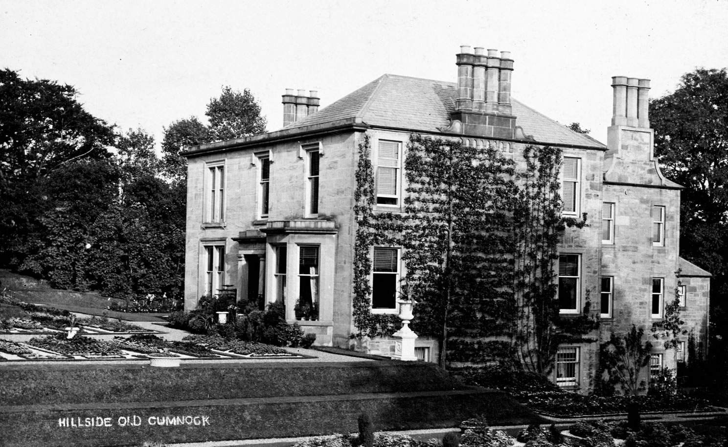
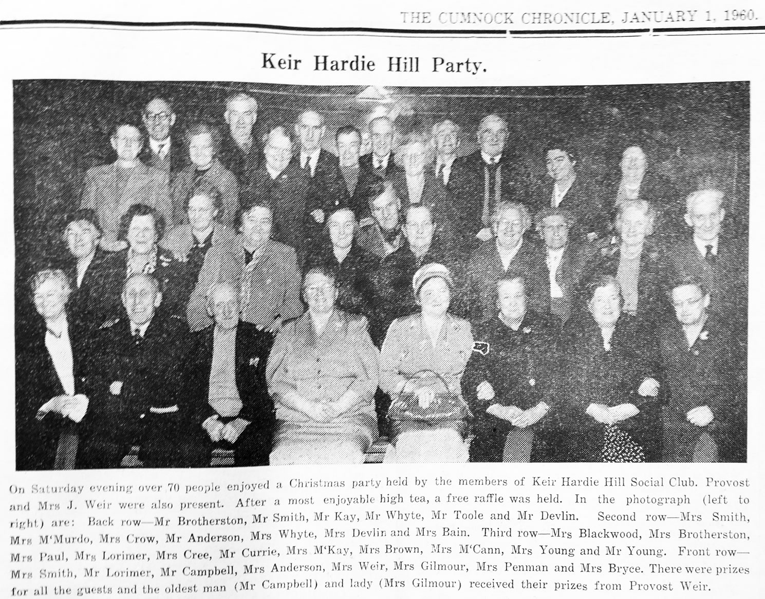
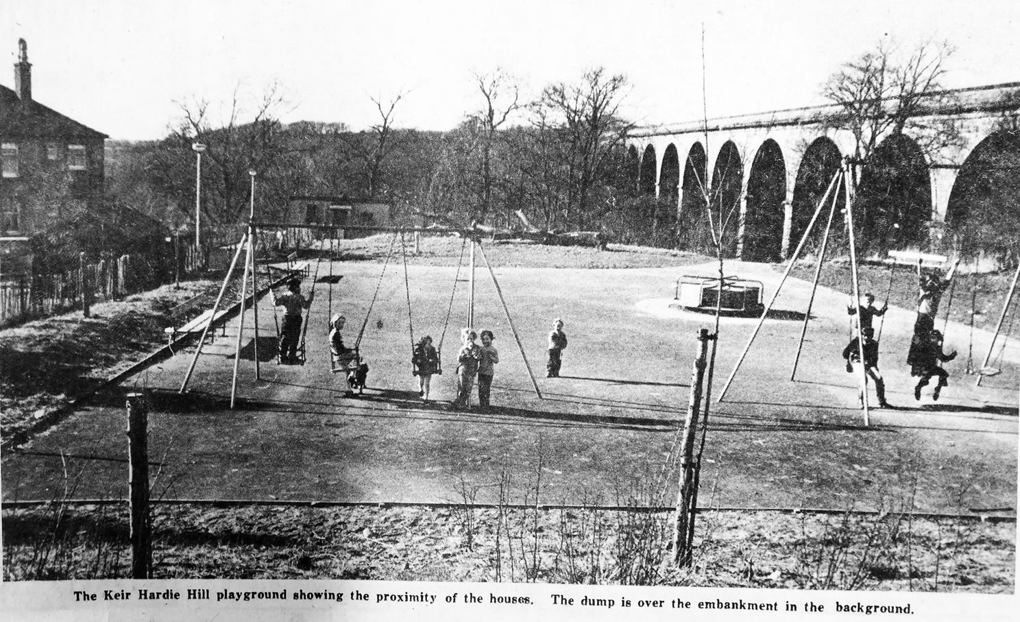
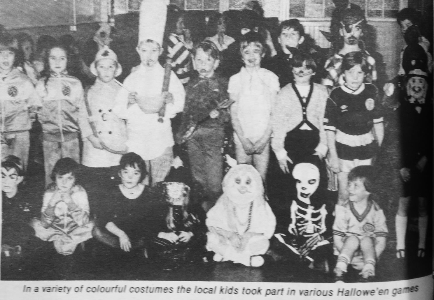
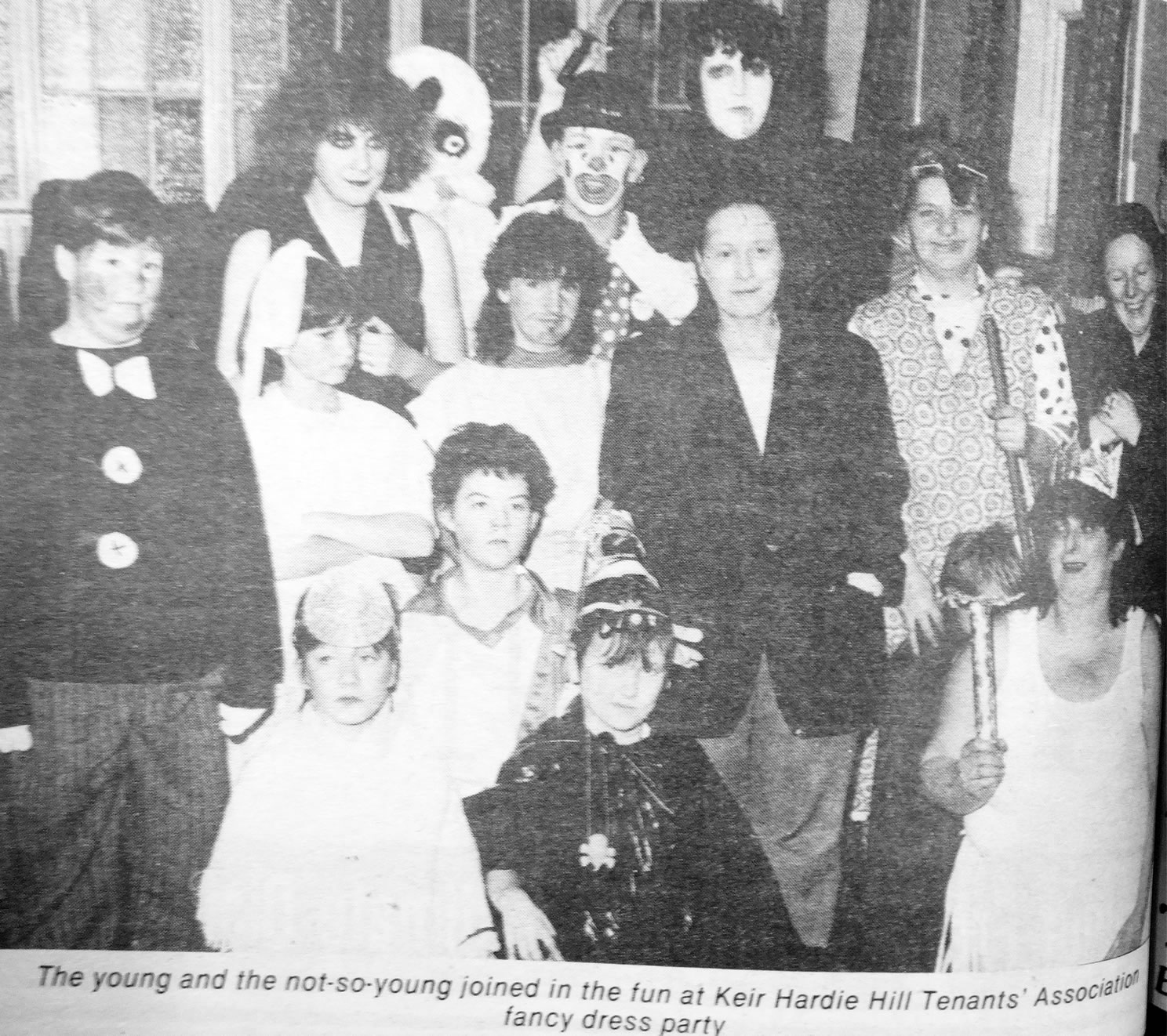
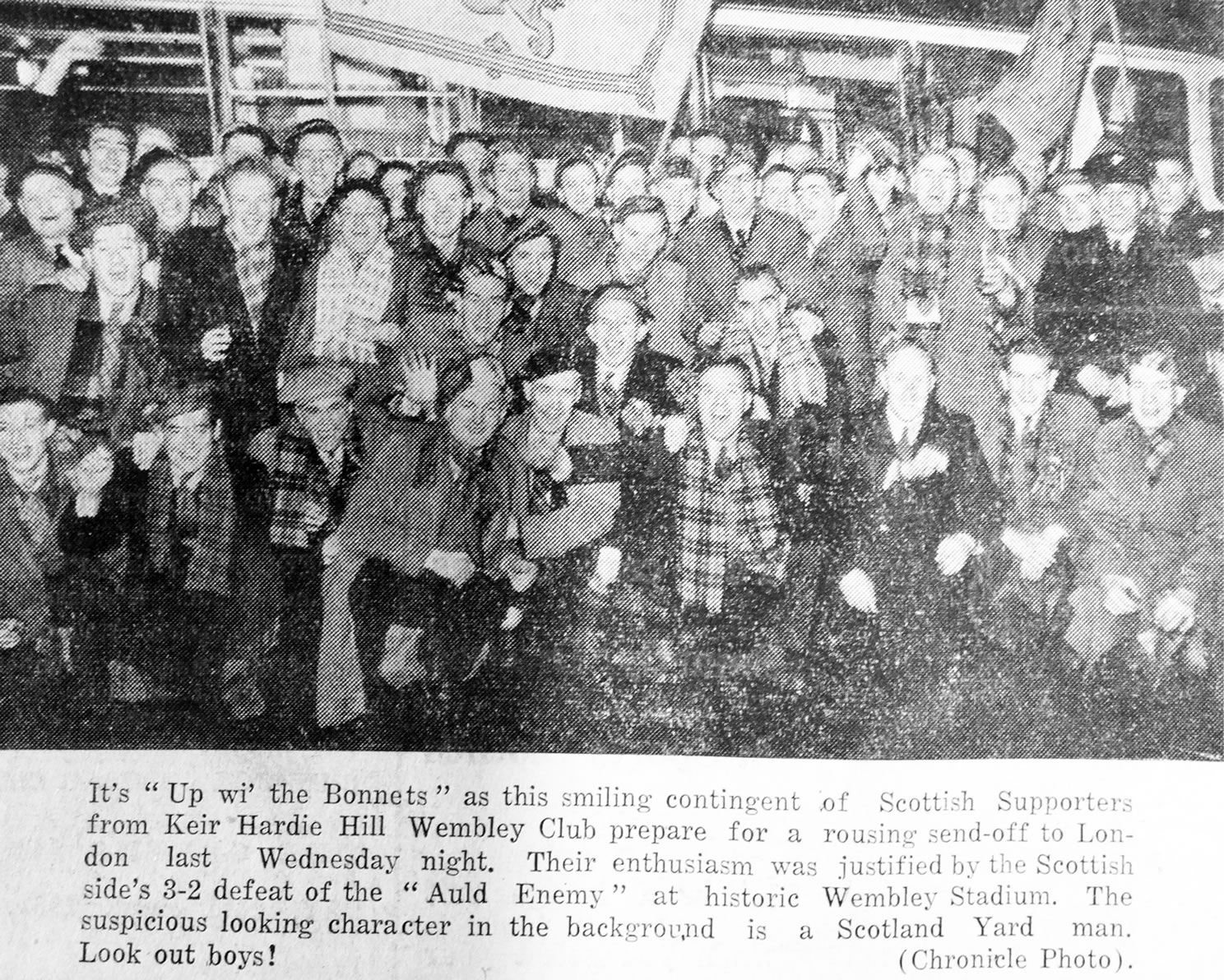
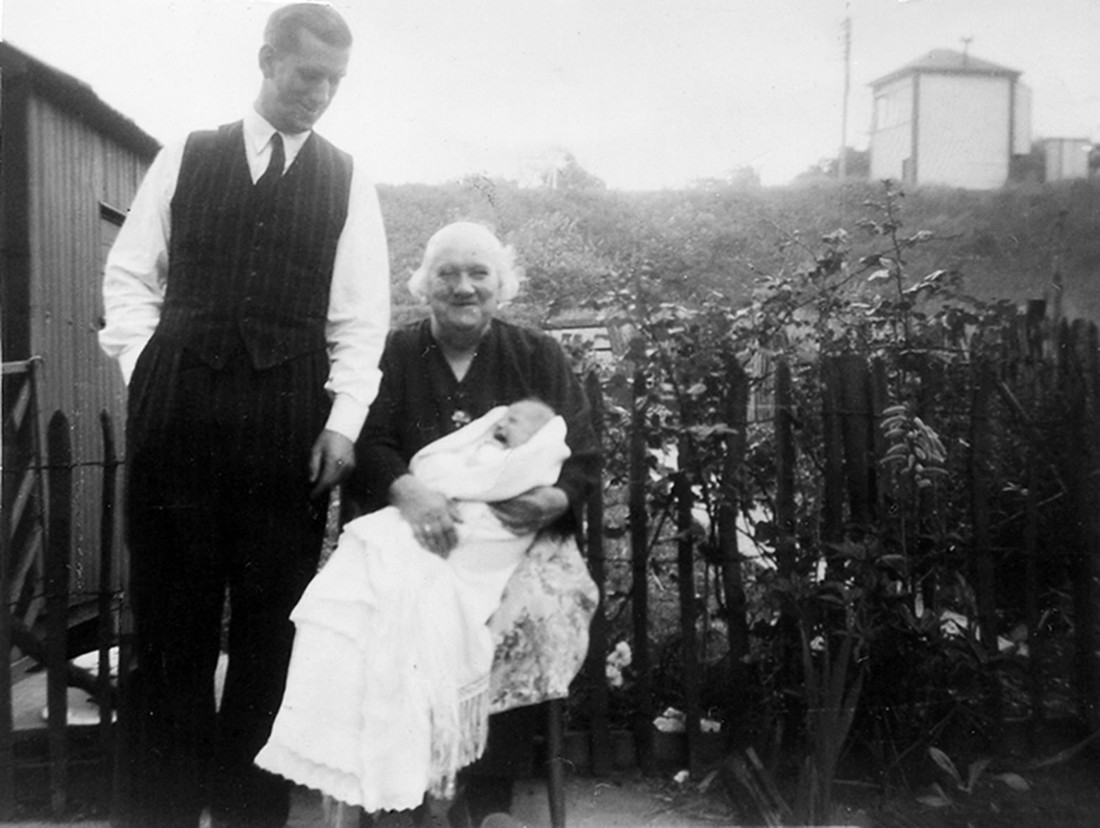
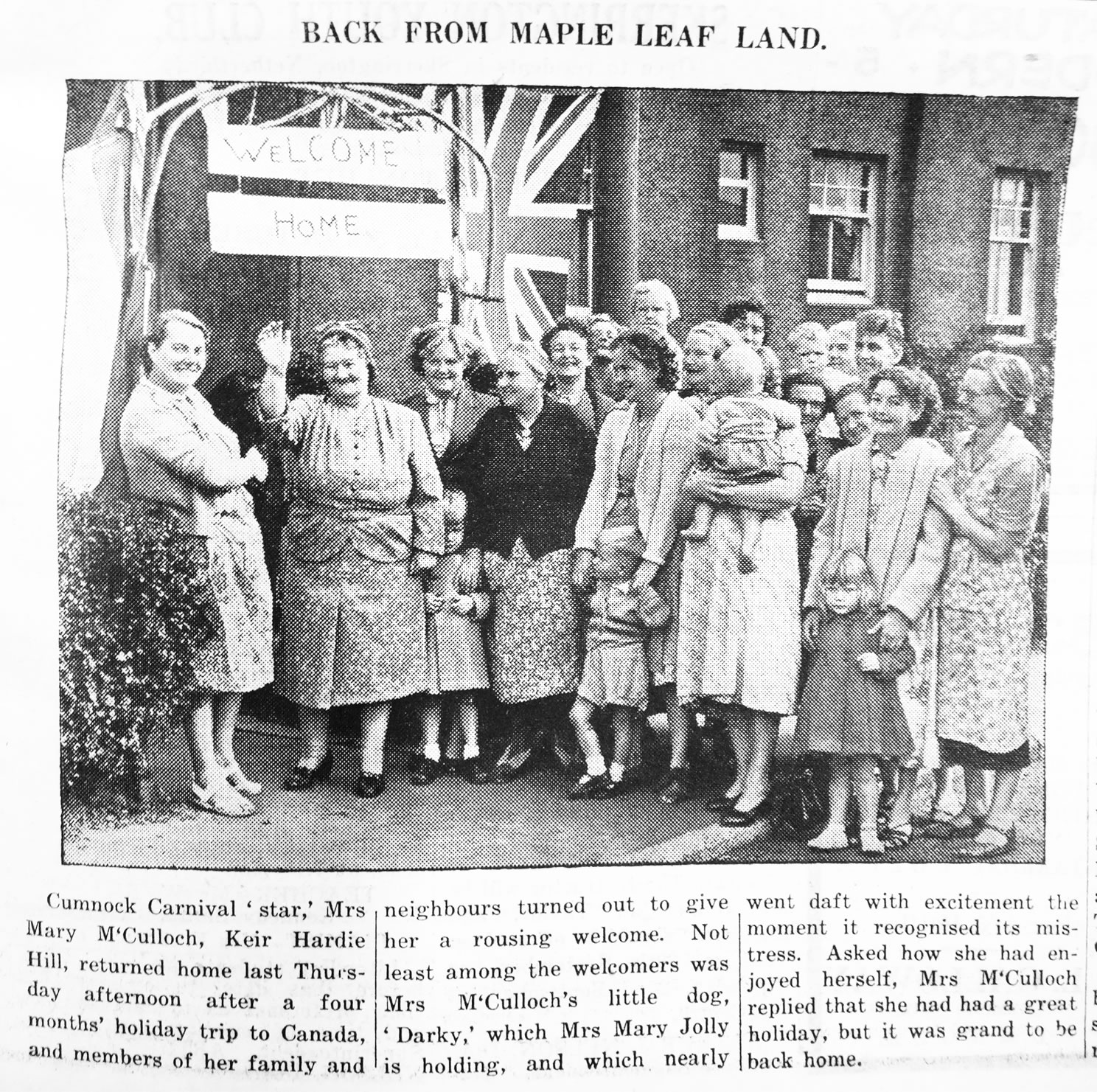
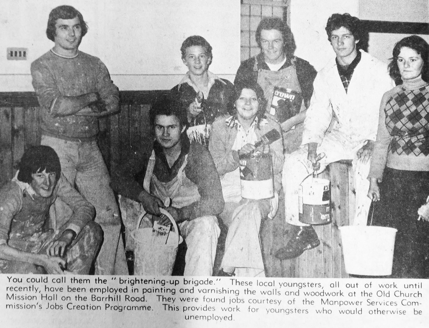
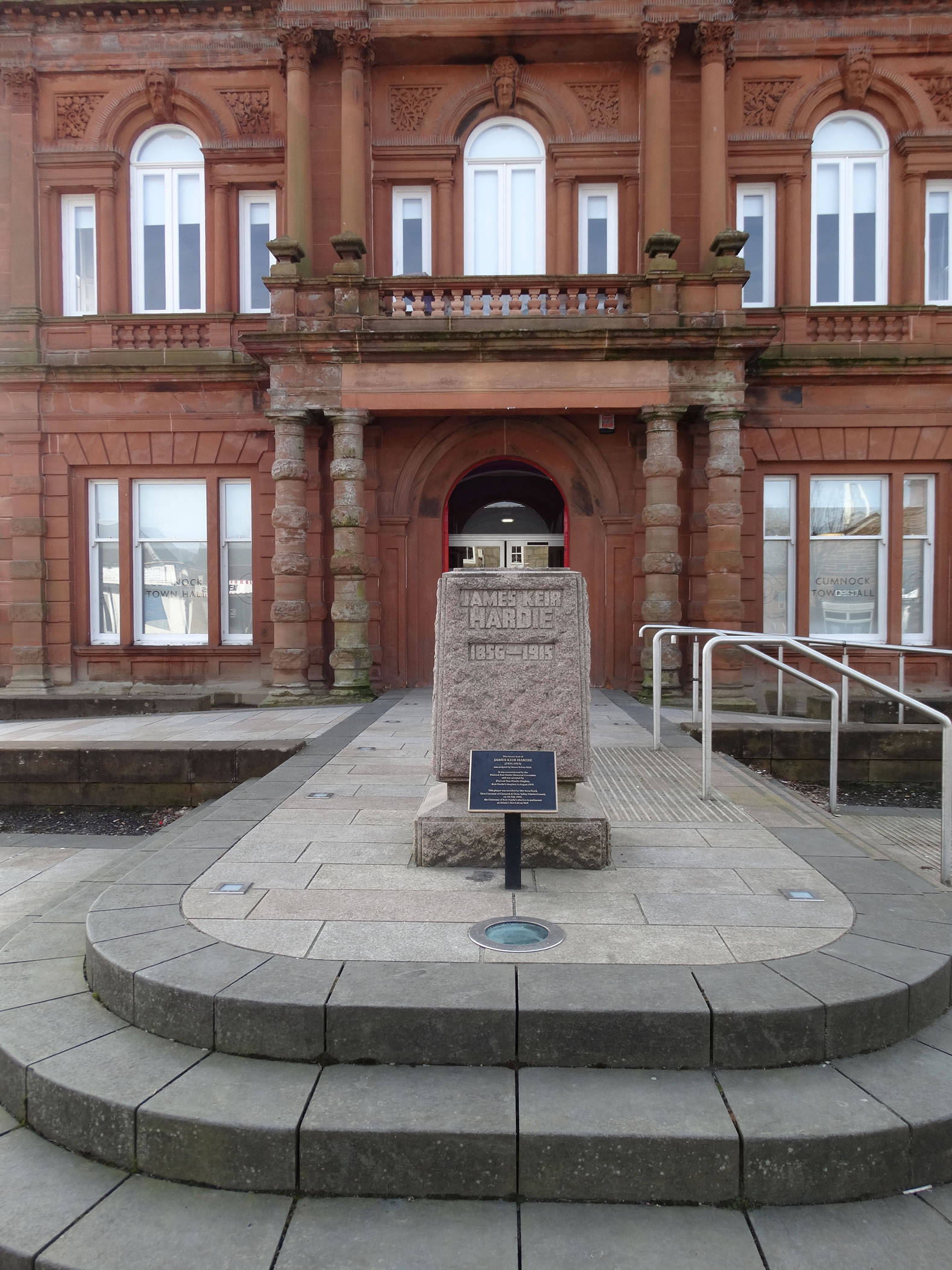
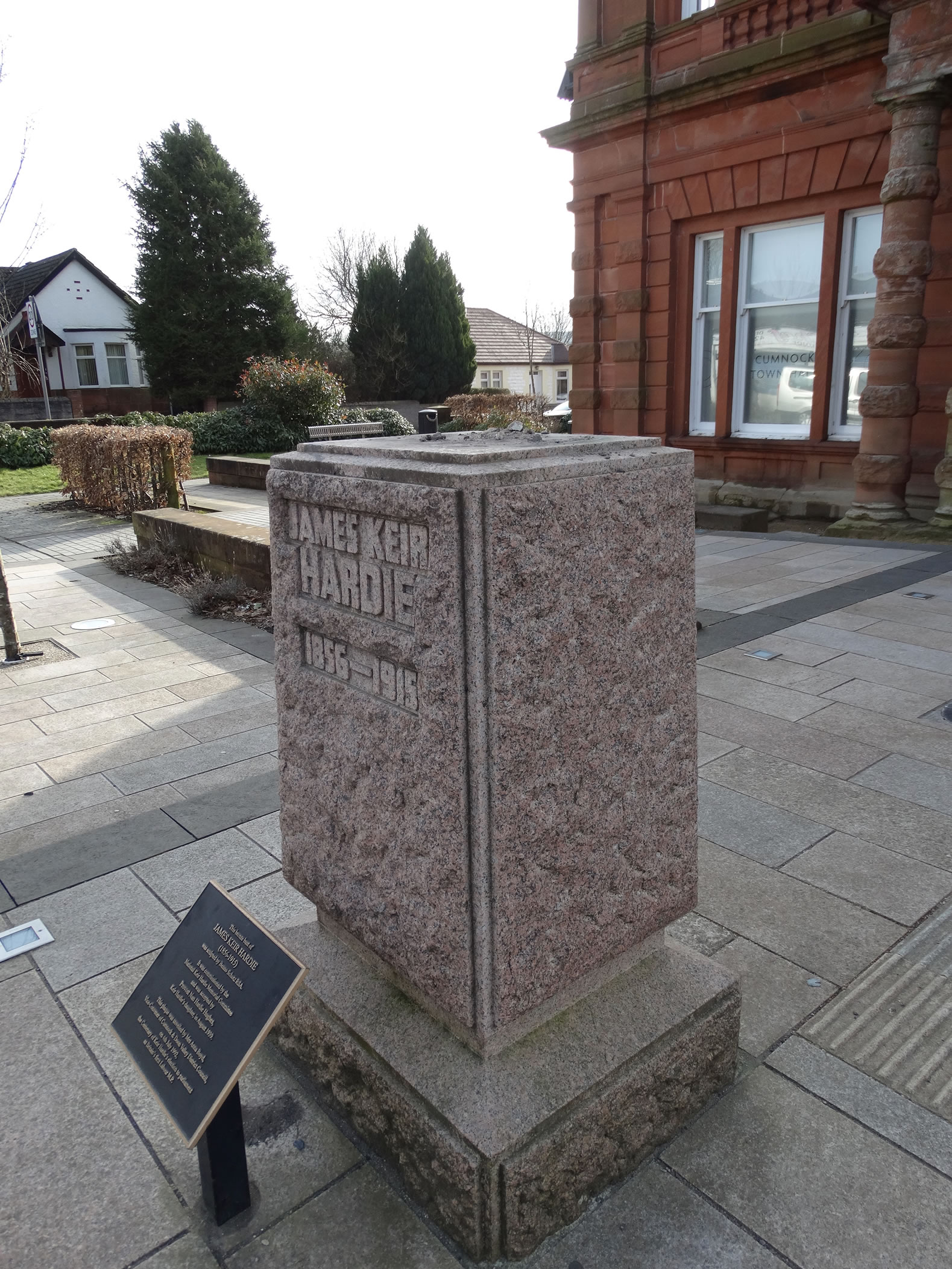
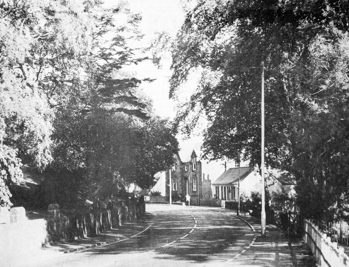
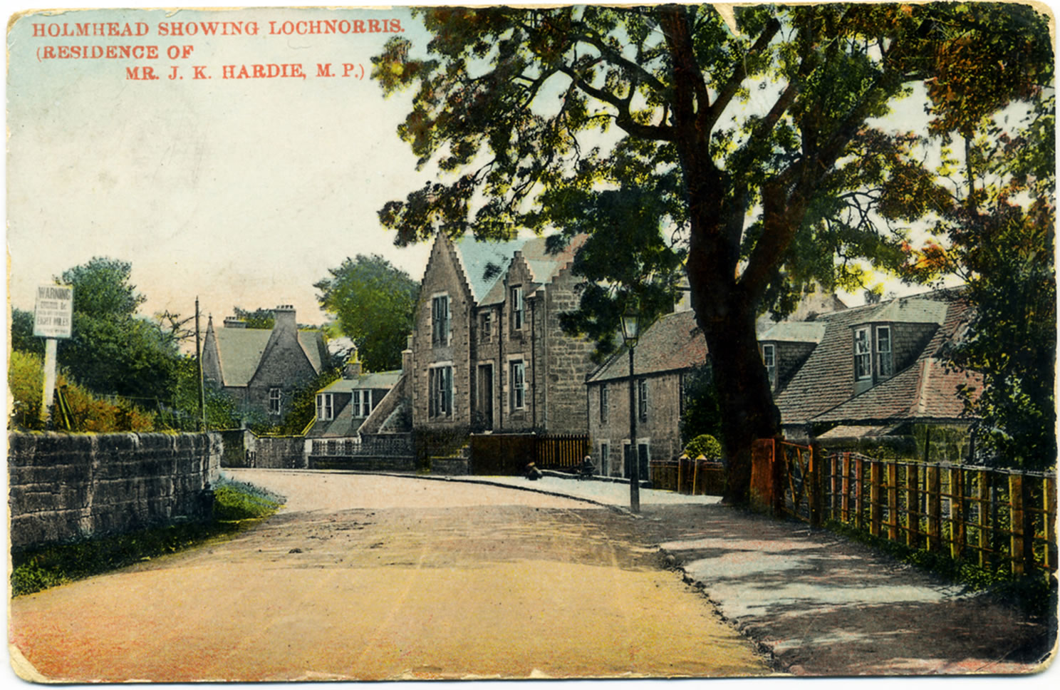
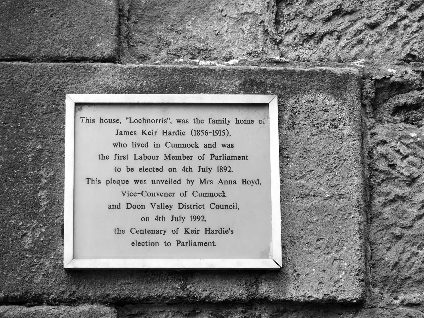
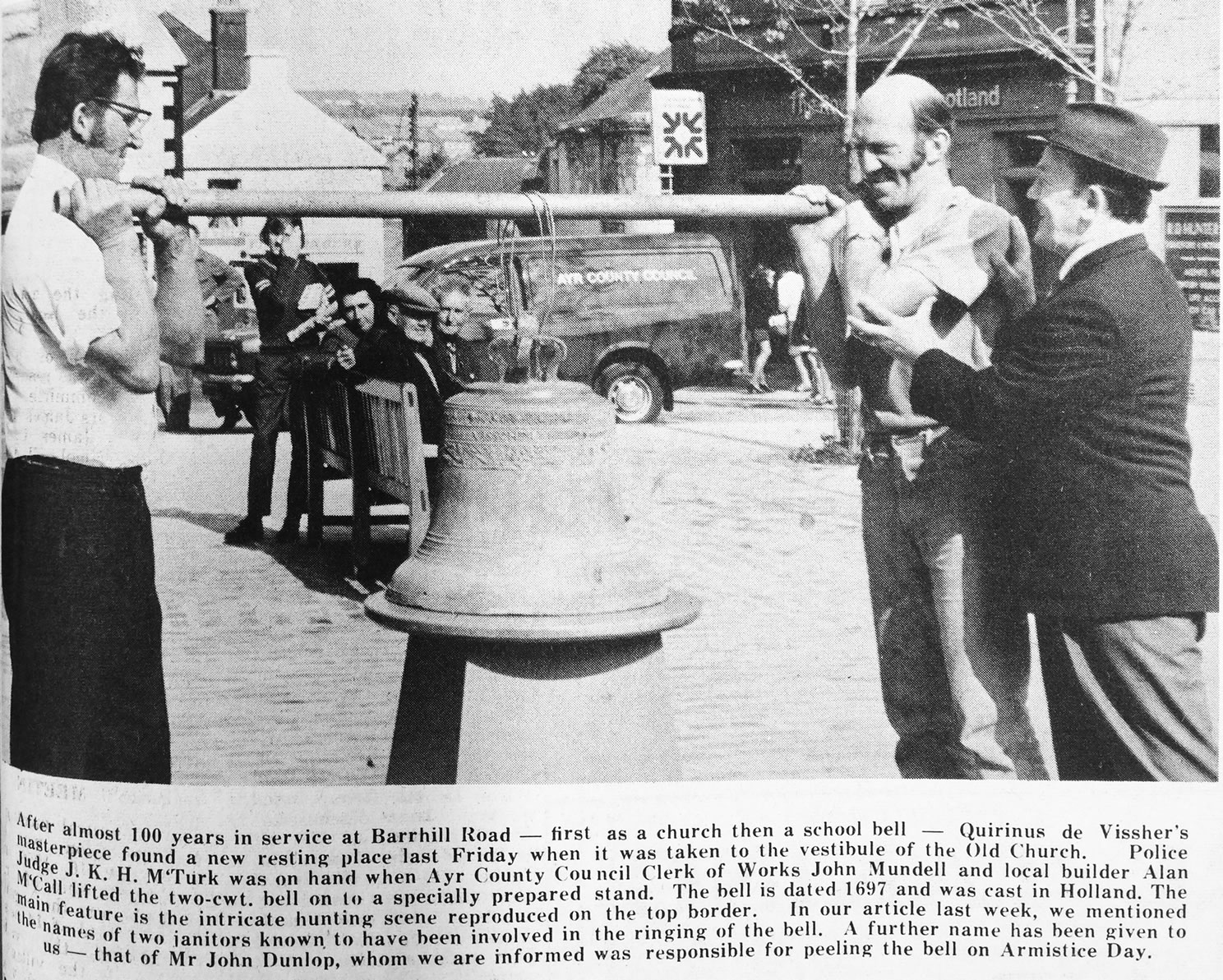
A selection of views and articles about Barrhill, Keir Hardie Hill and the surrounding area.
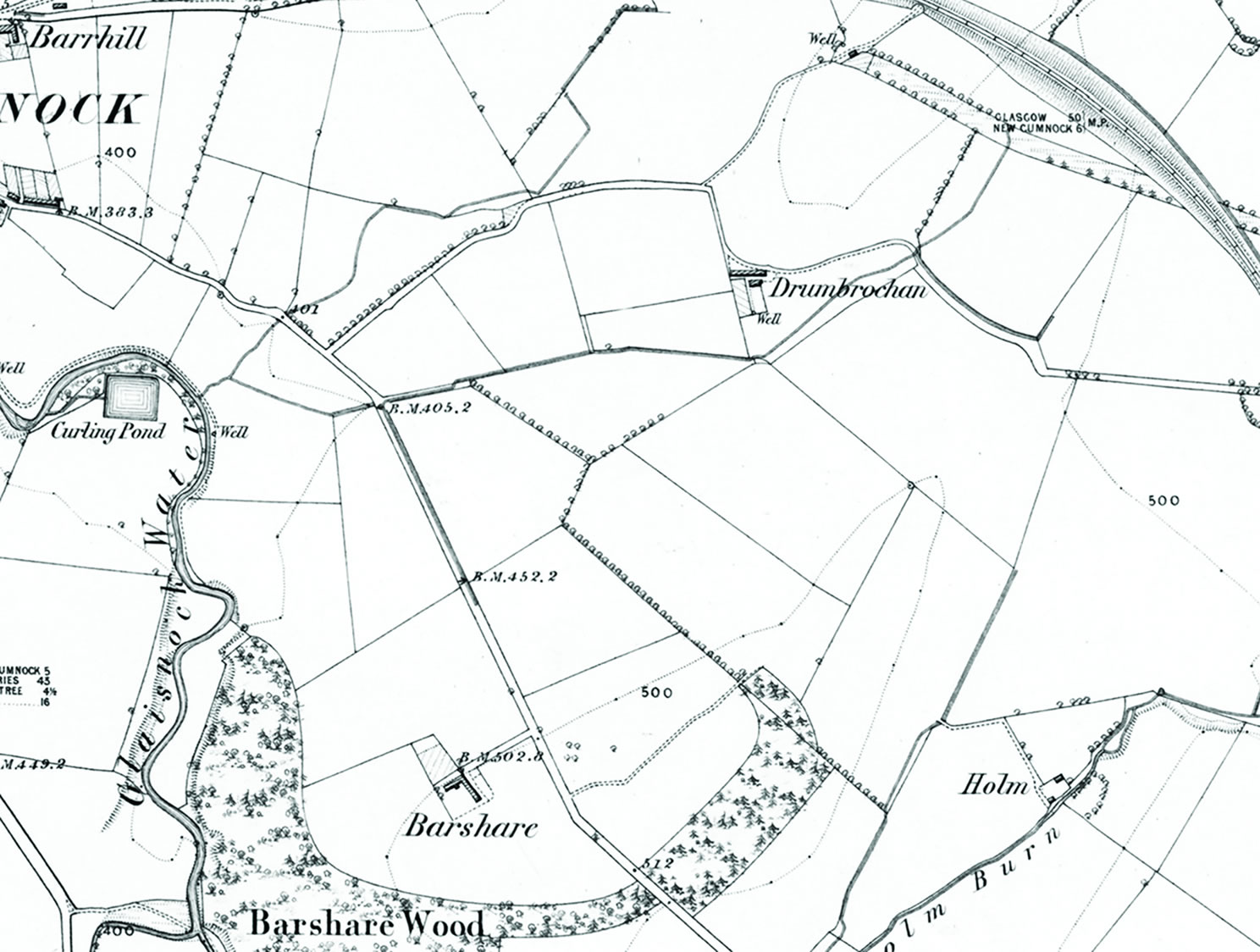
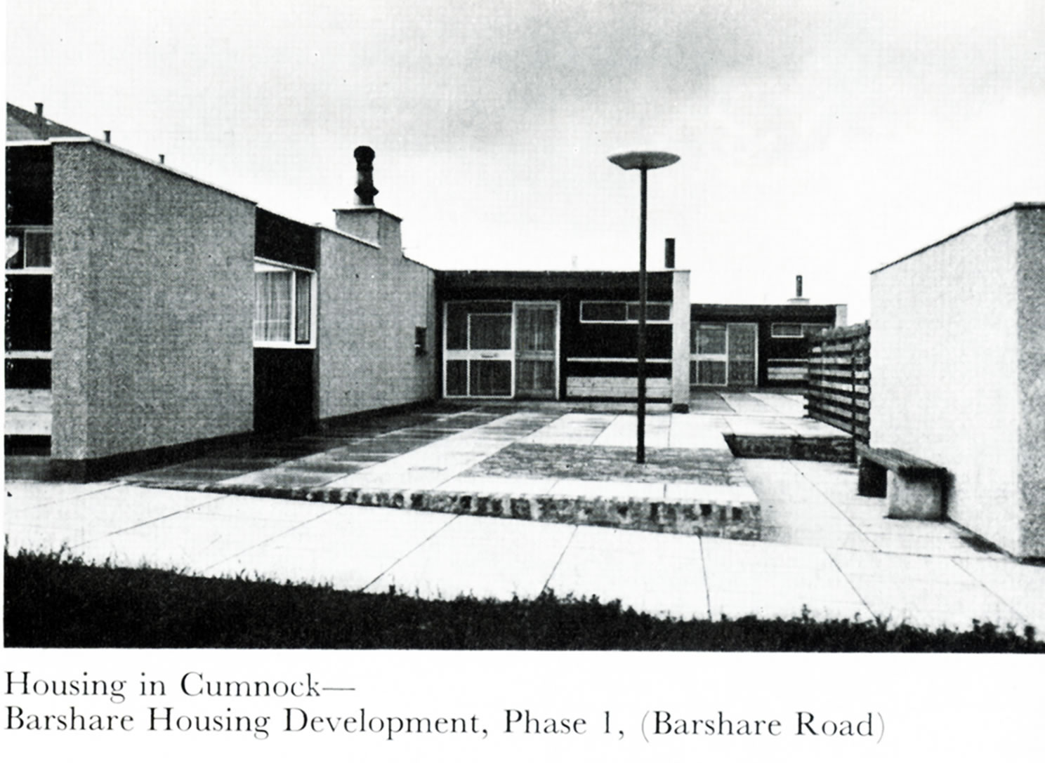
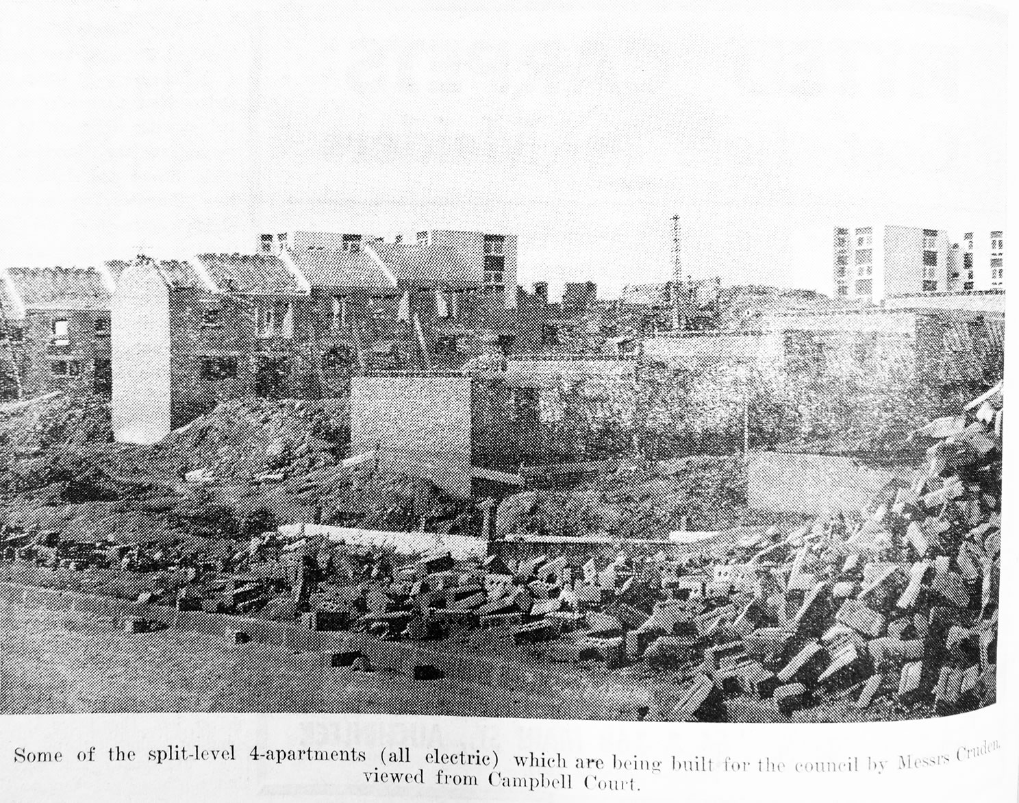
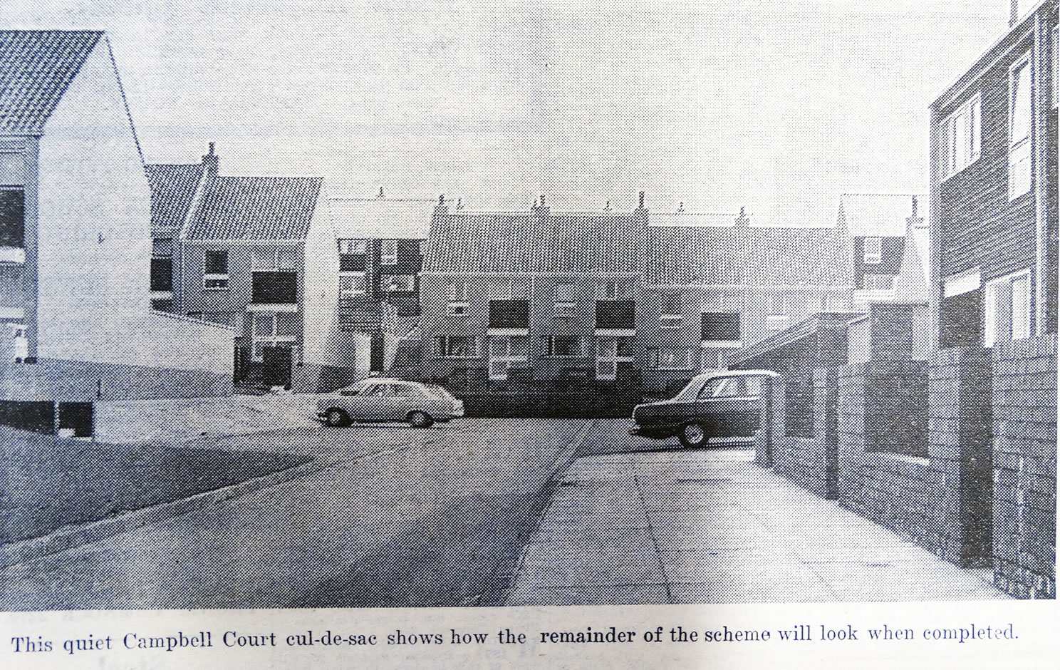
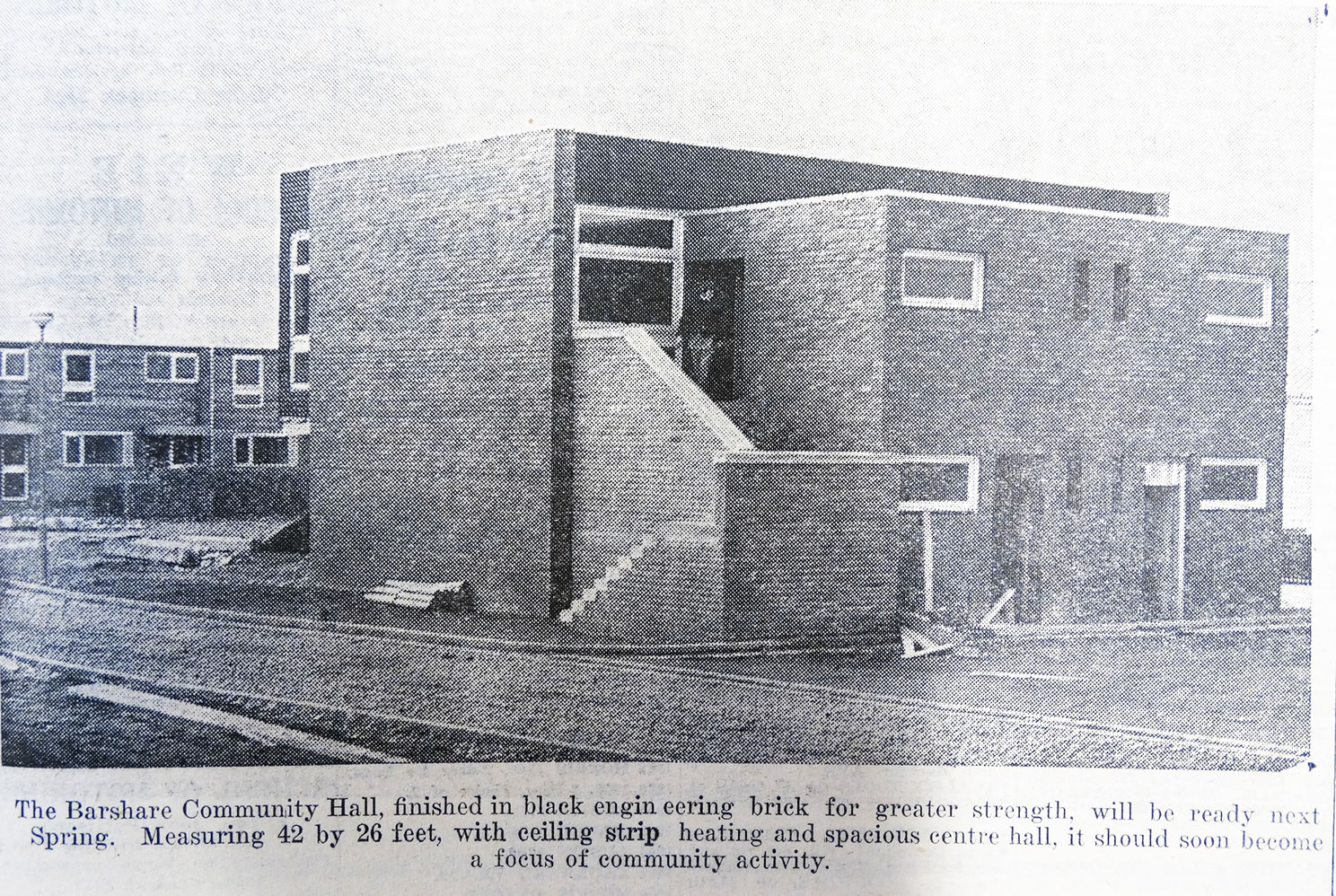
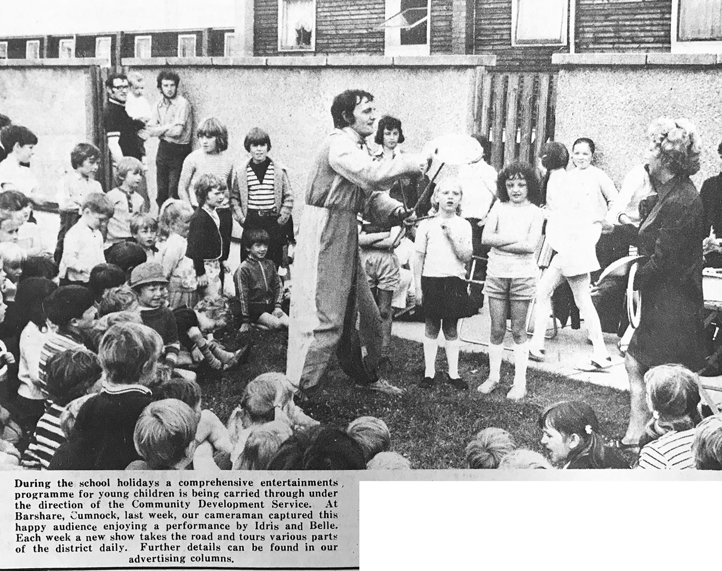
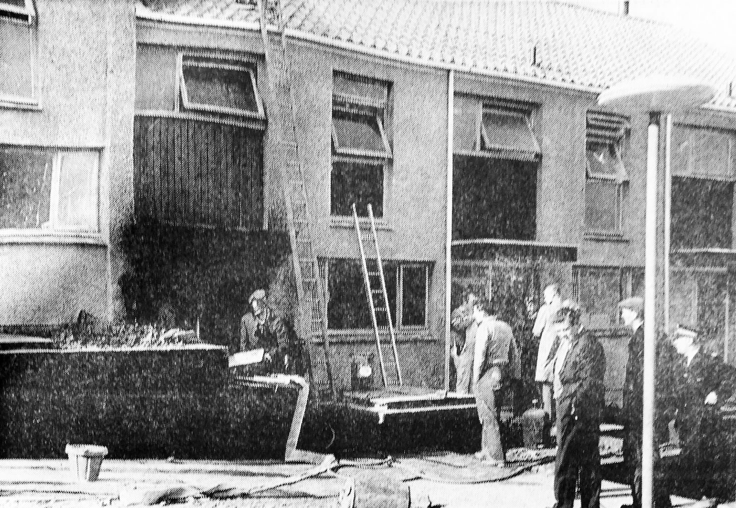
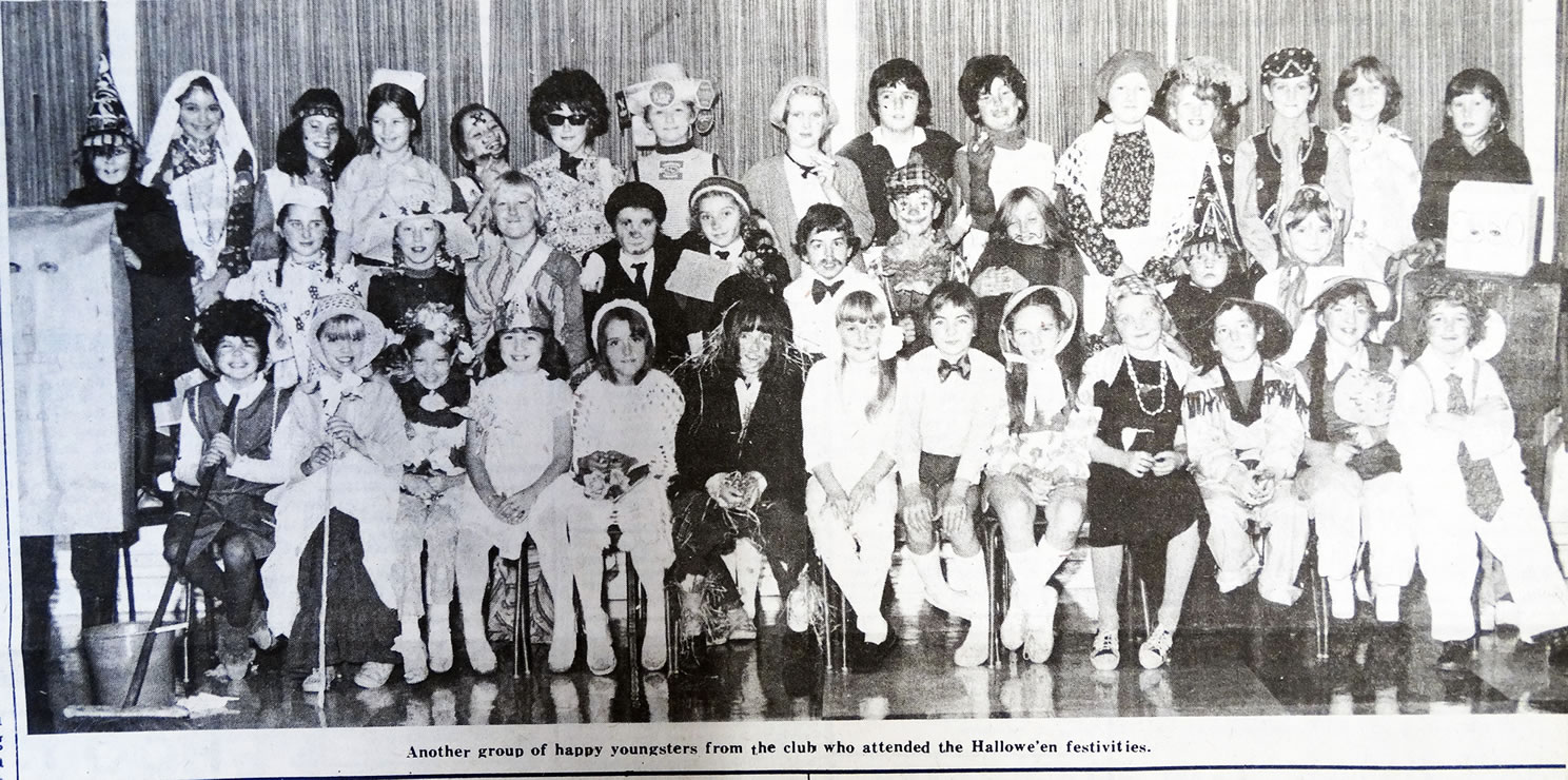
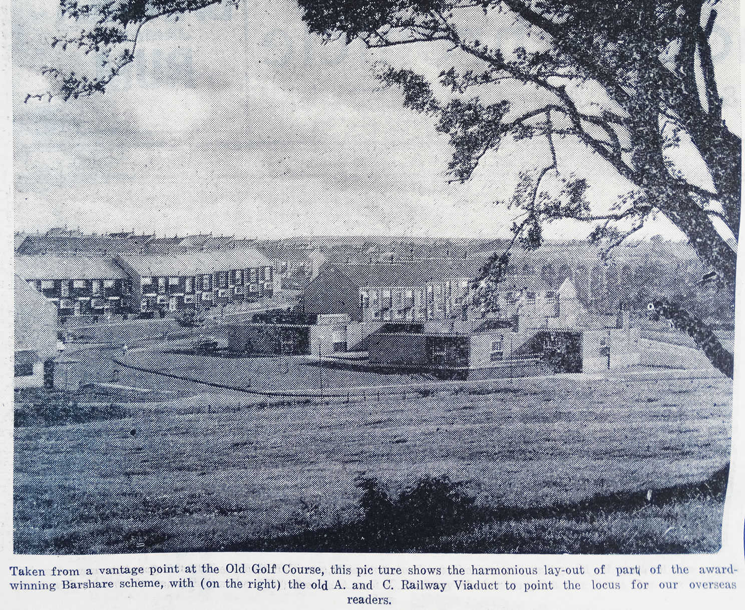
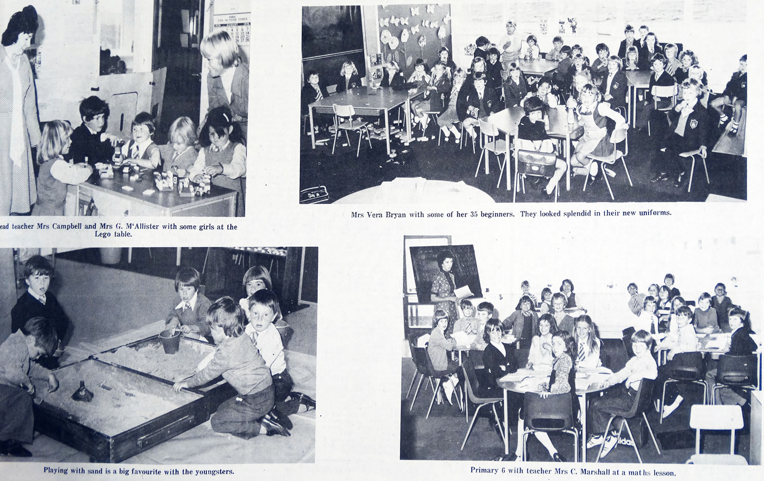
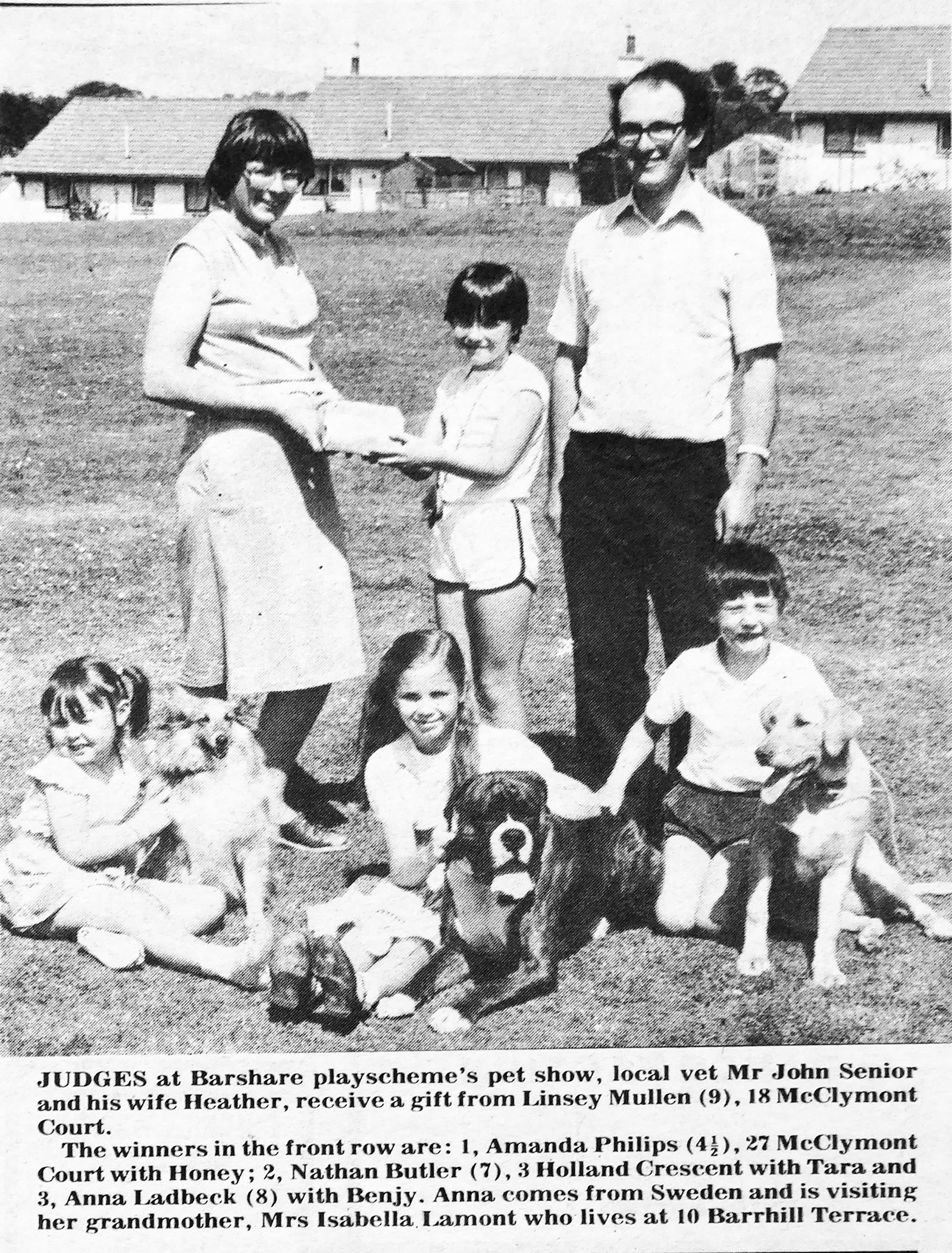
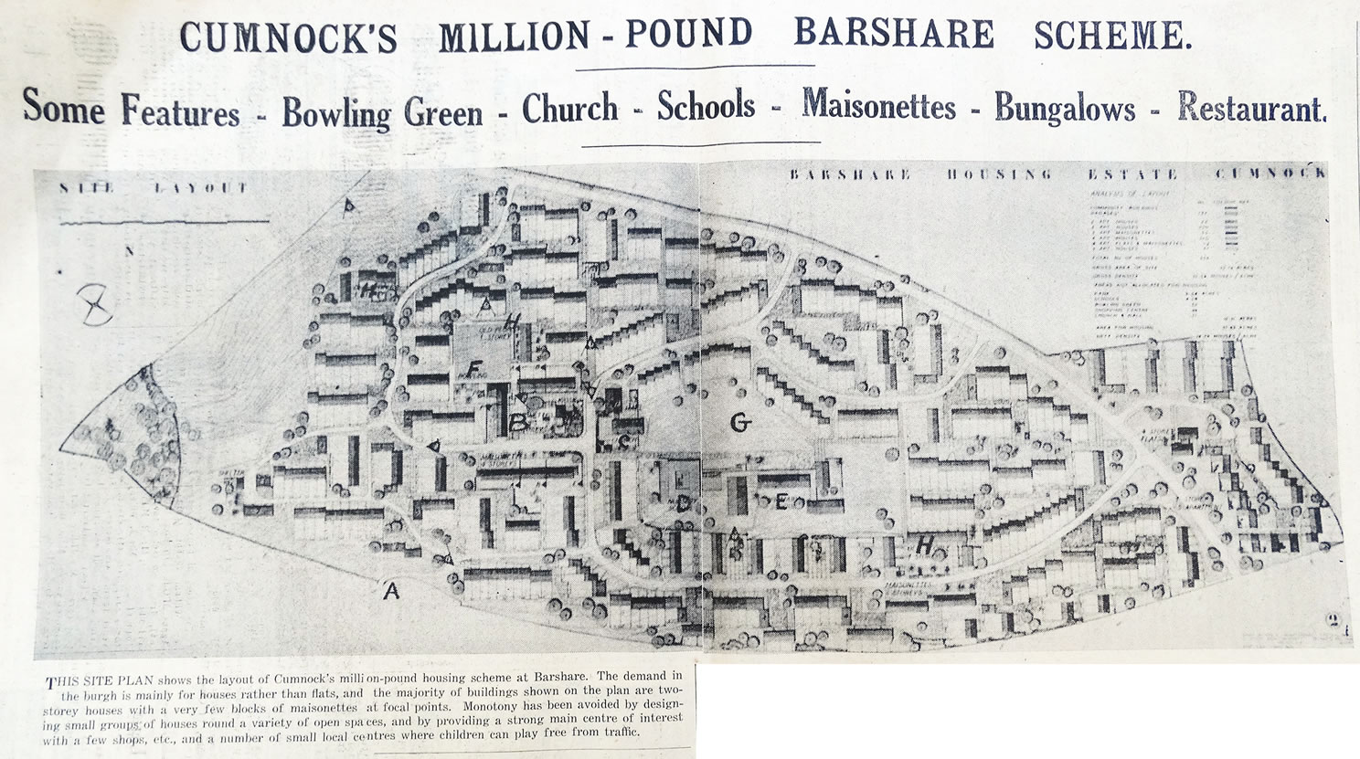
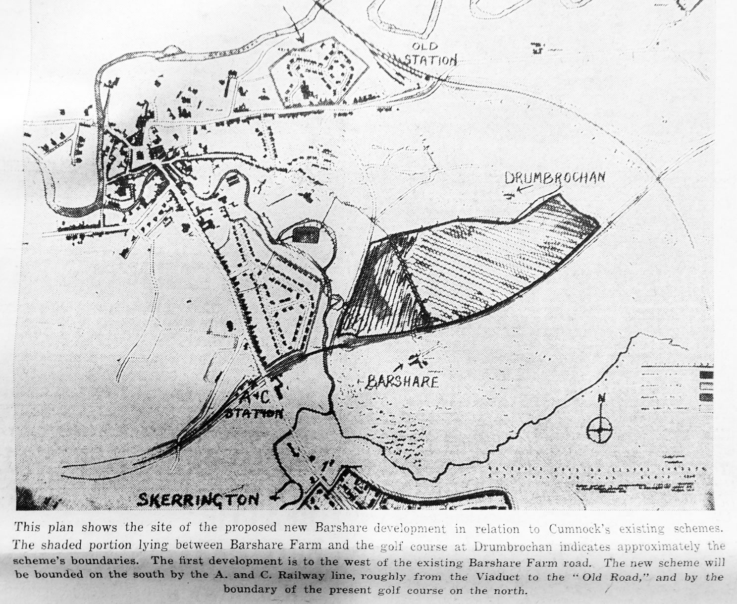
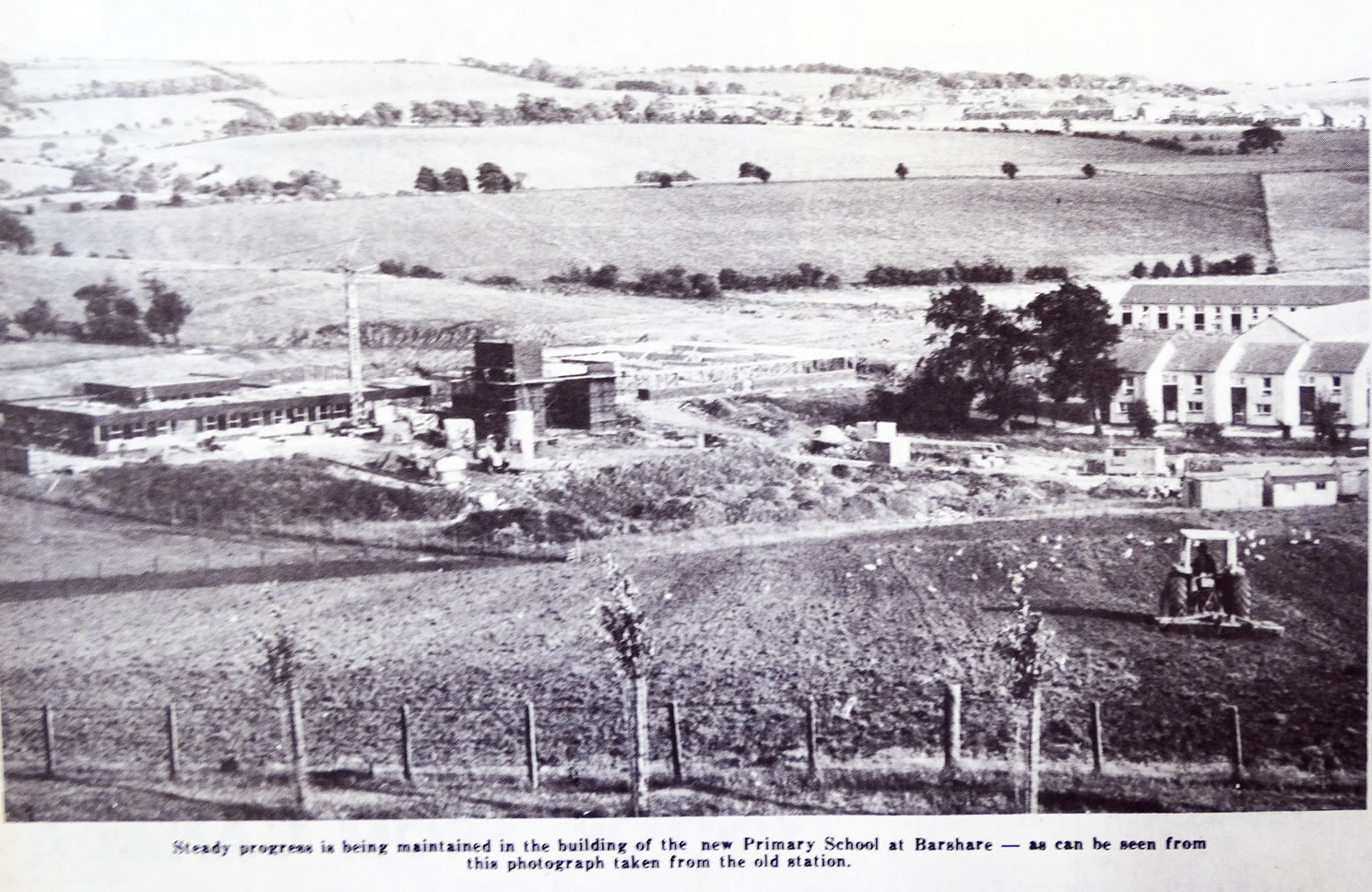
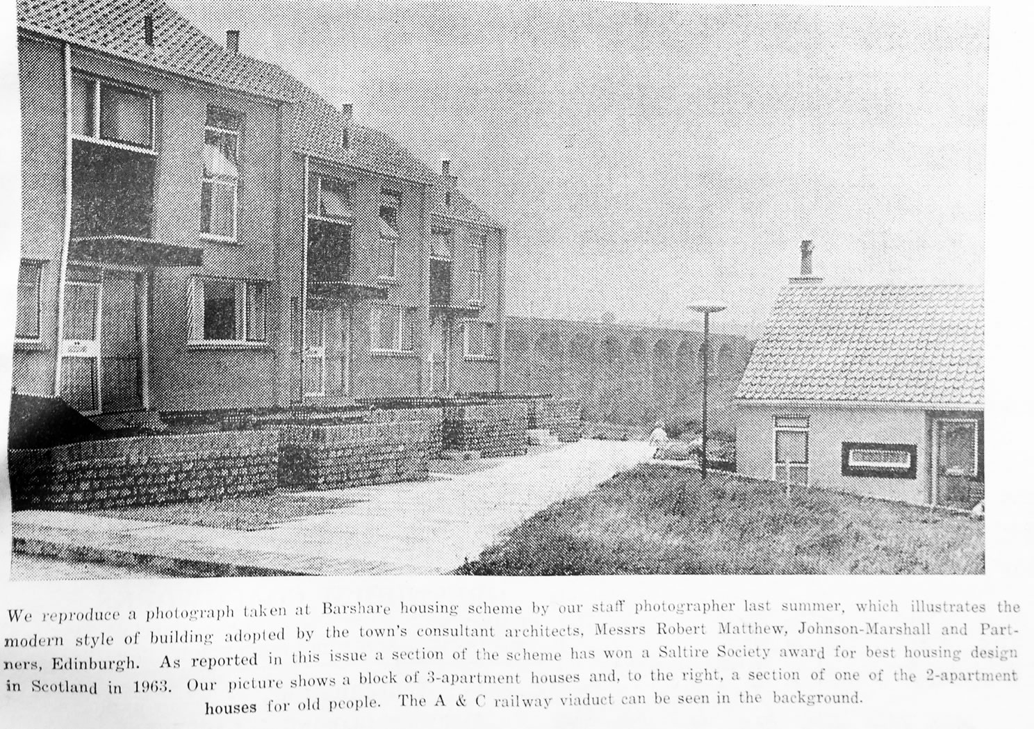
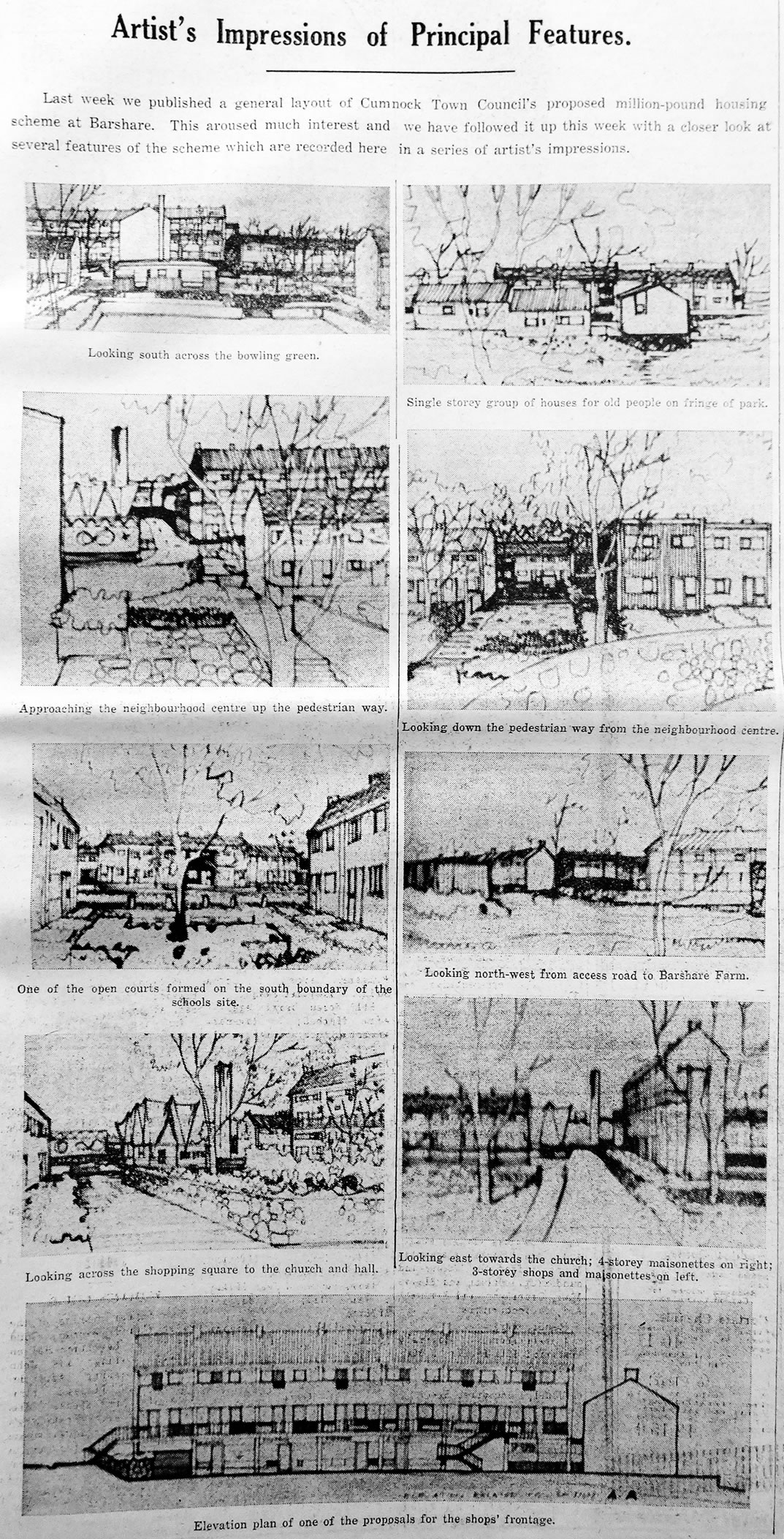
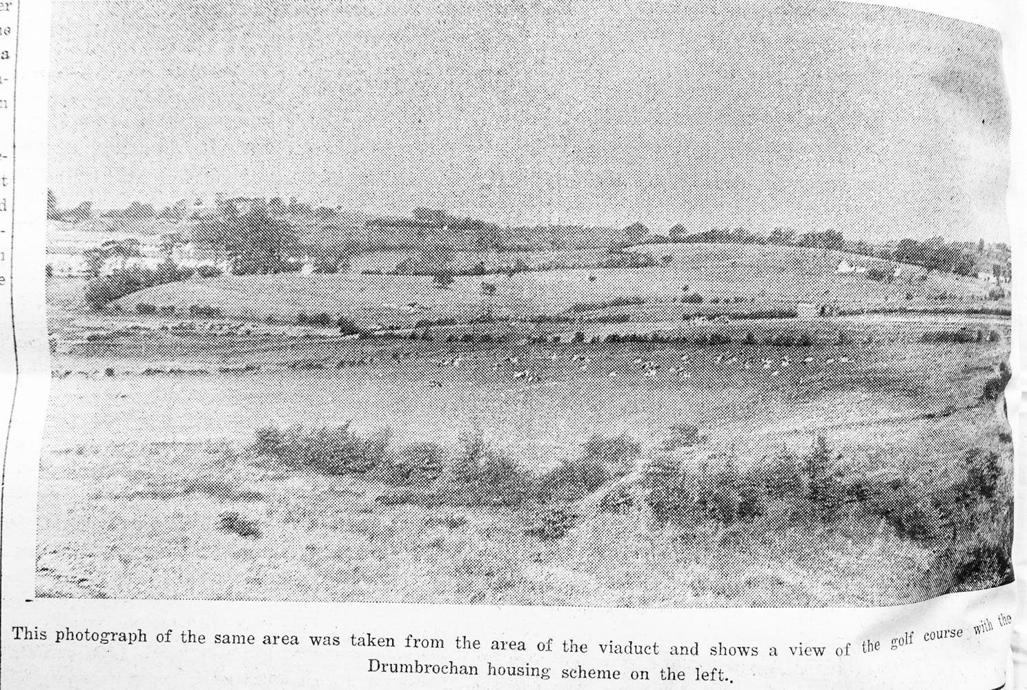
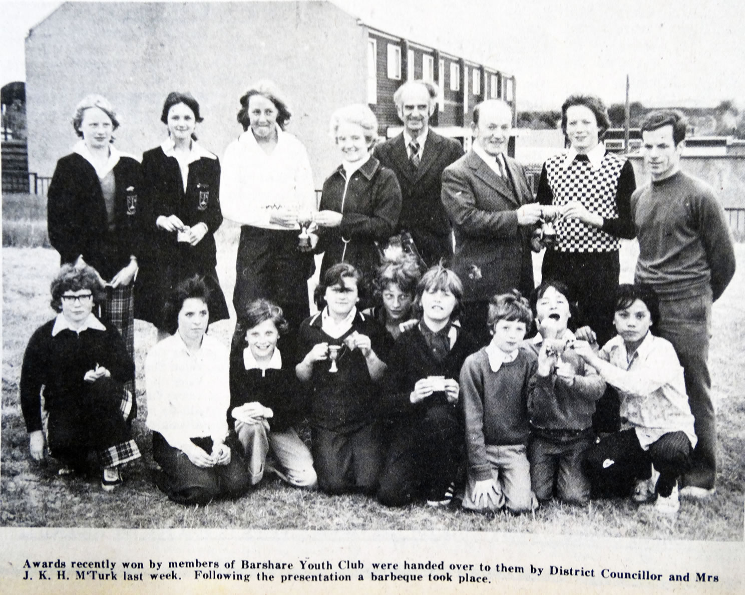
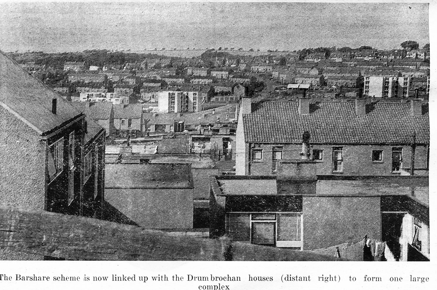
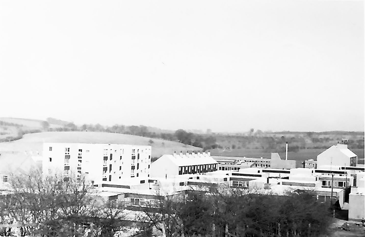
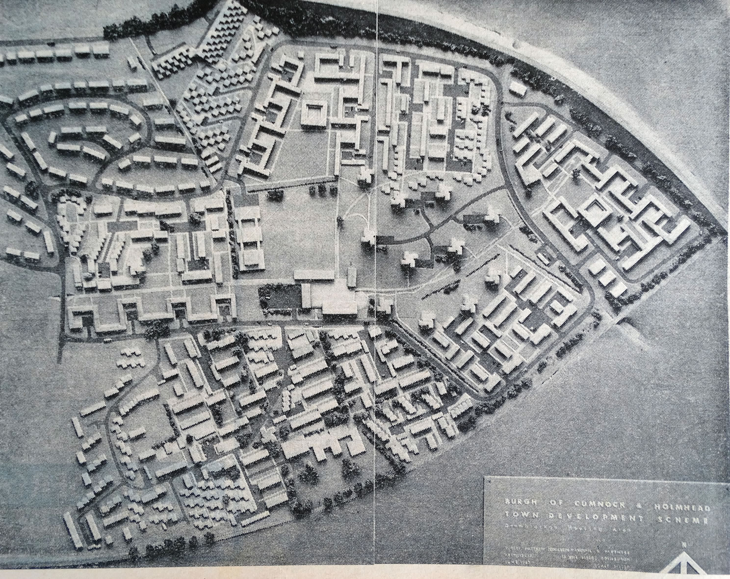
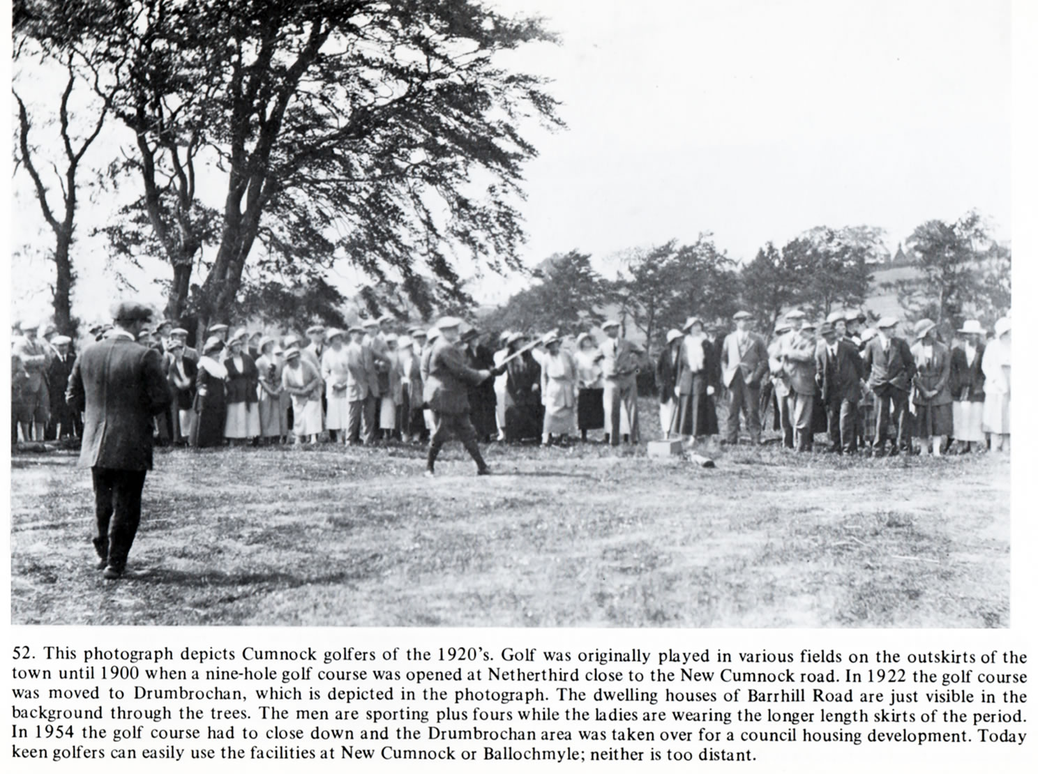
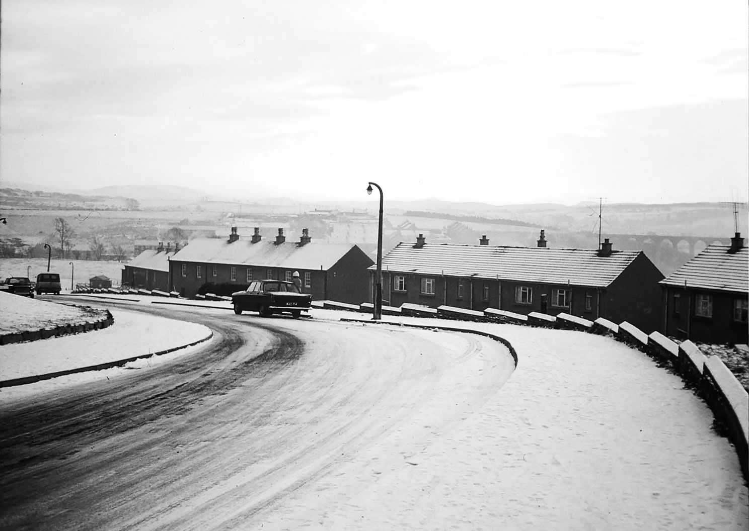
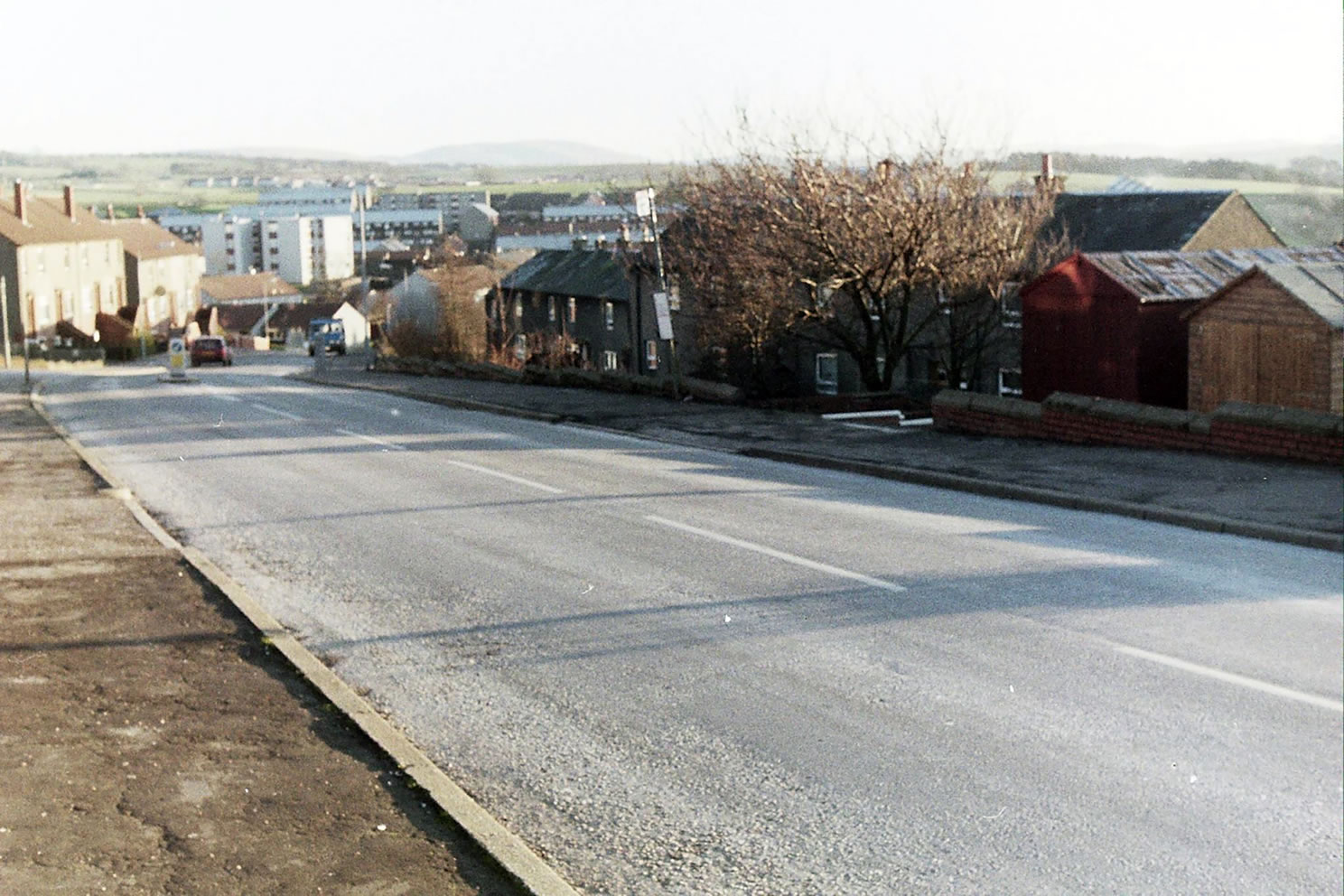
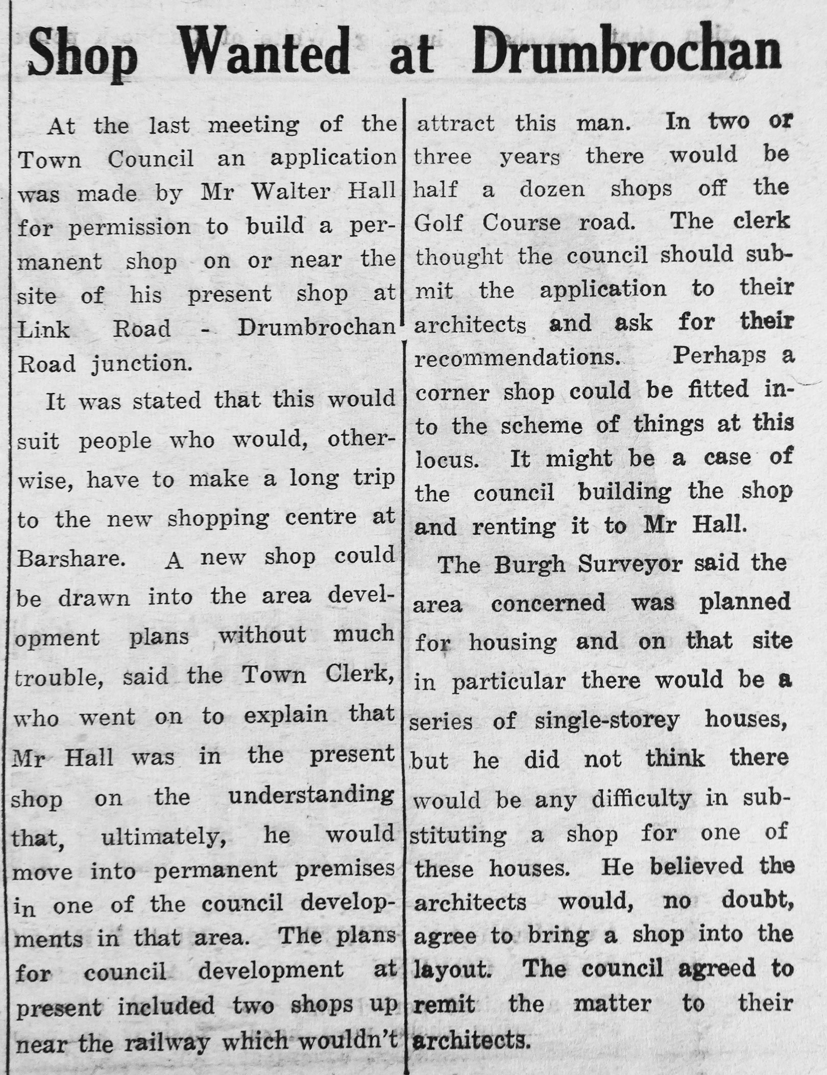
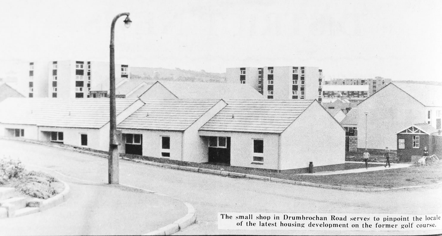
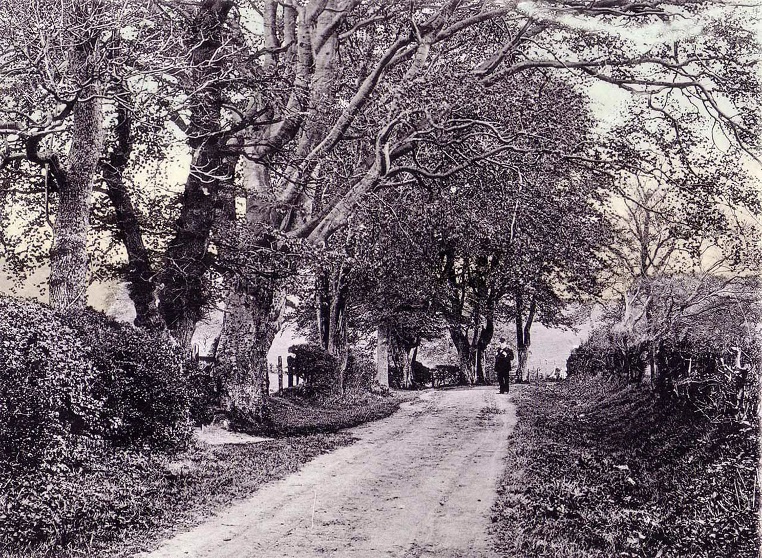
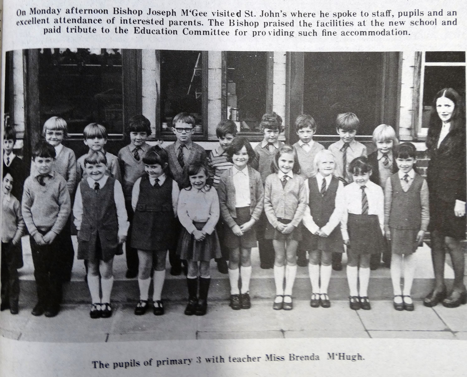
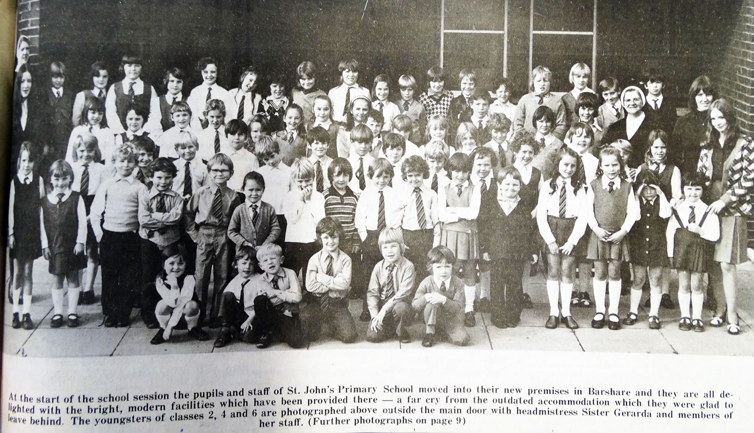
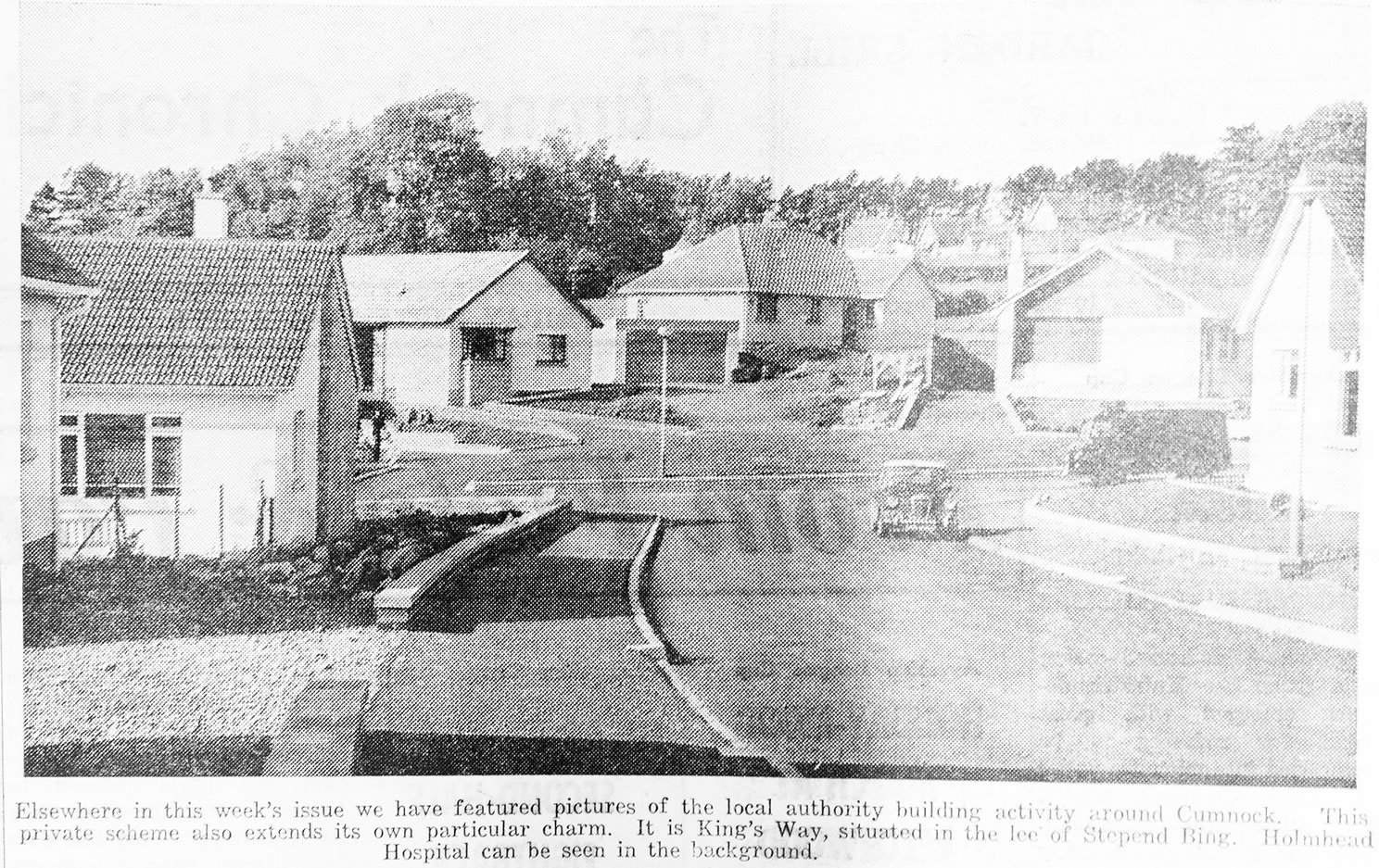
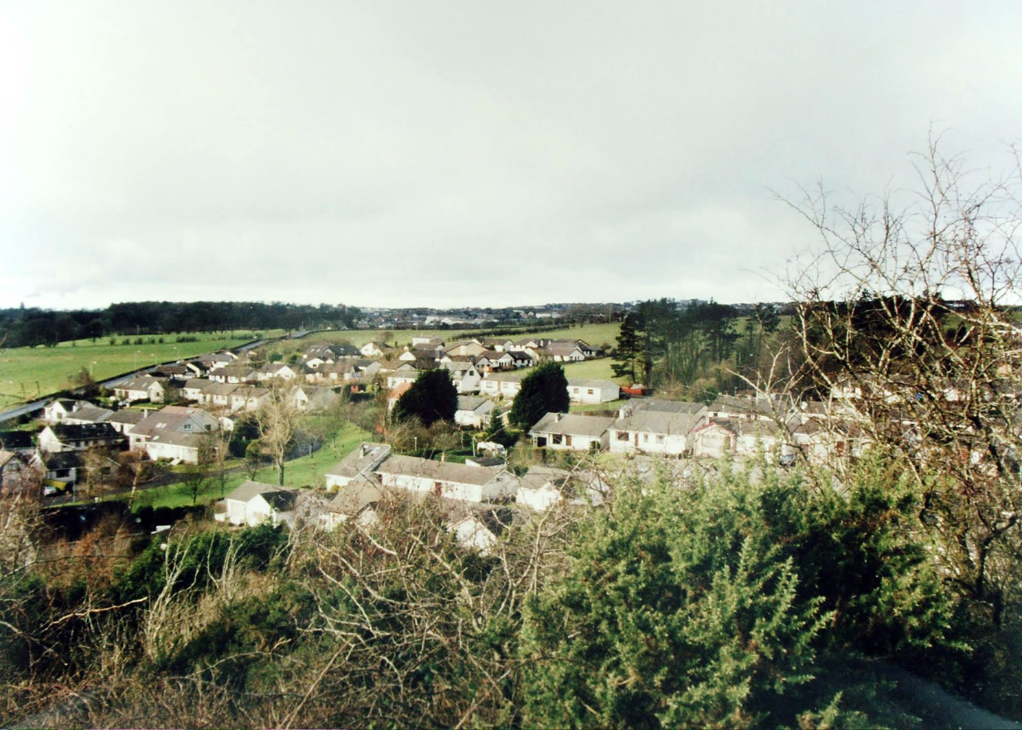
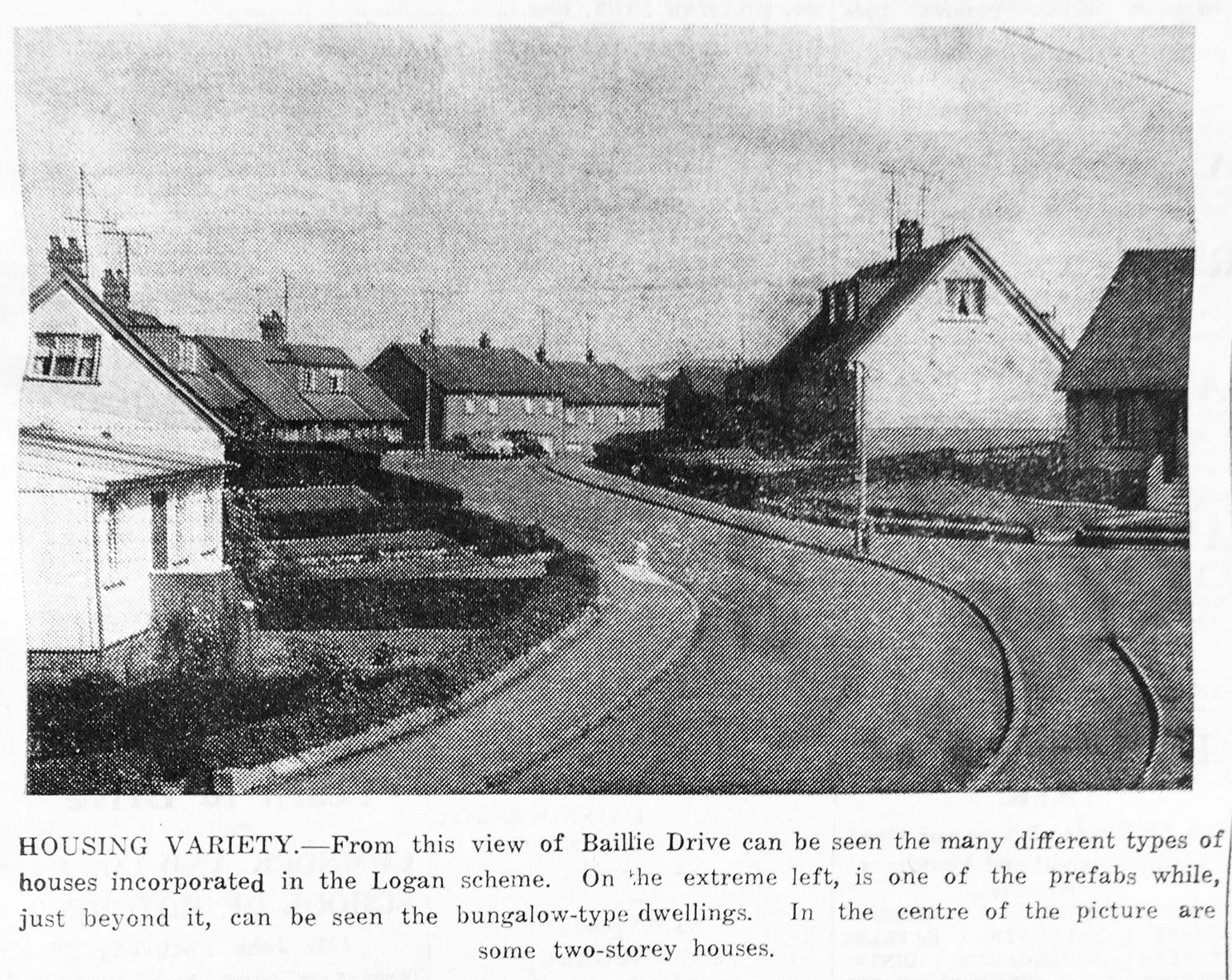
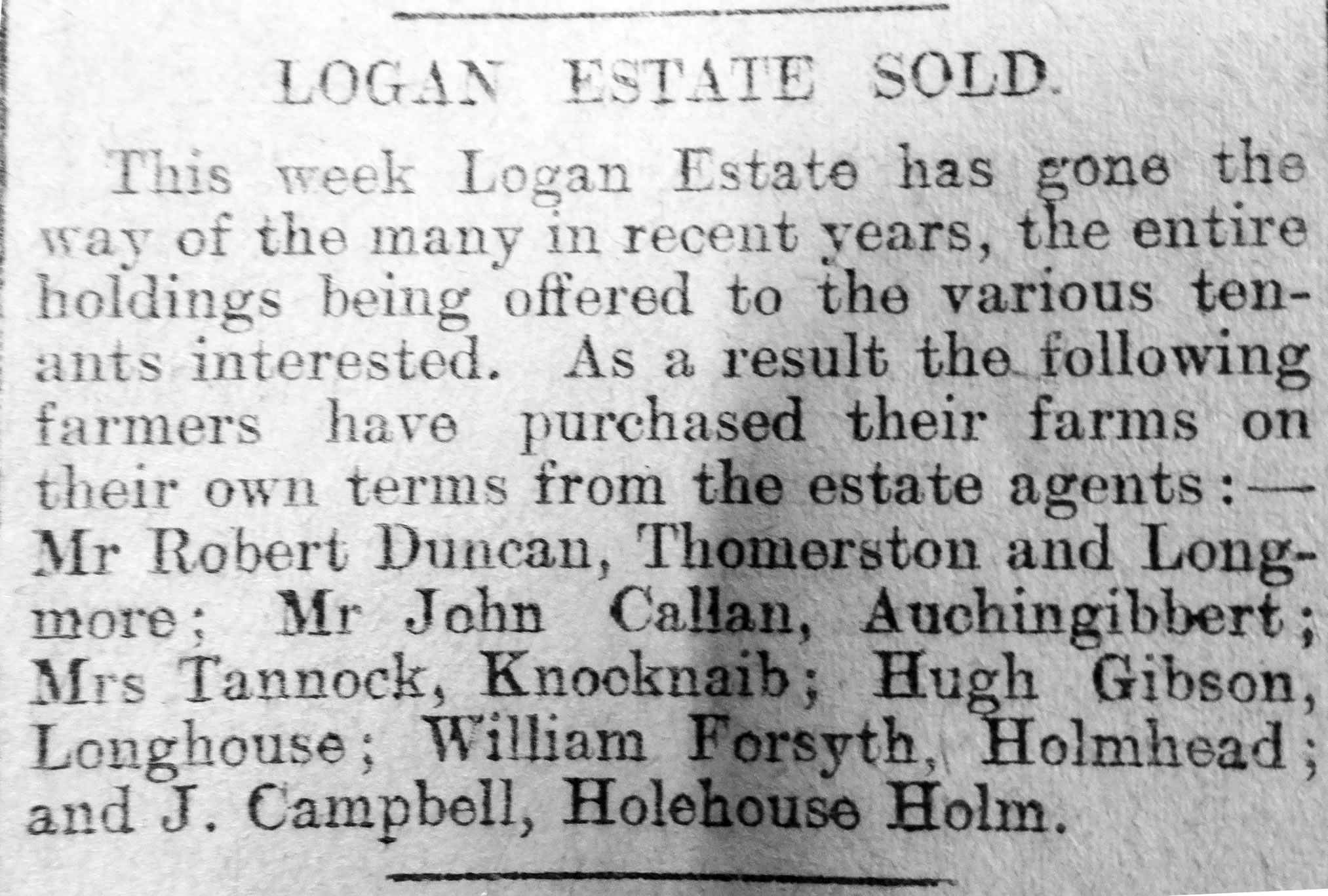
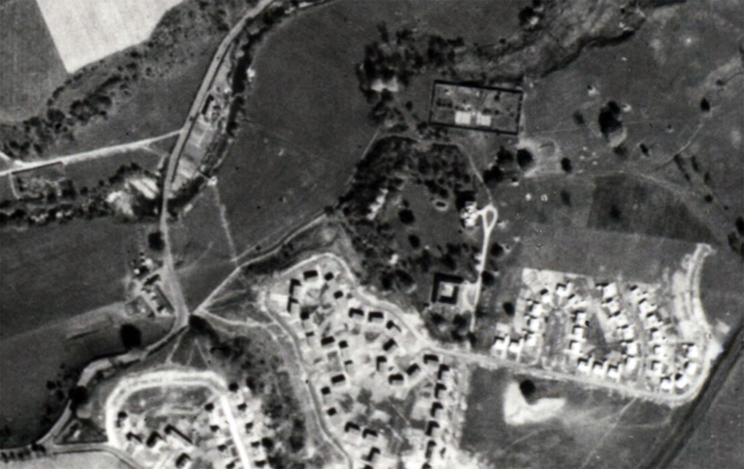
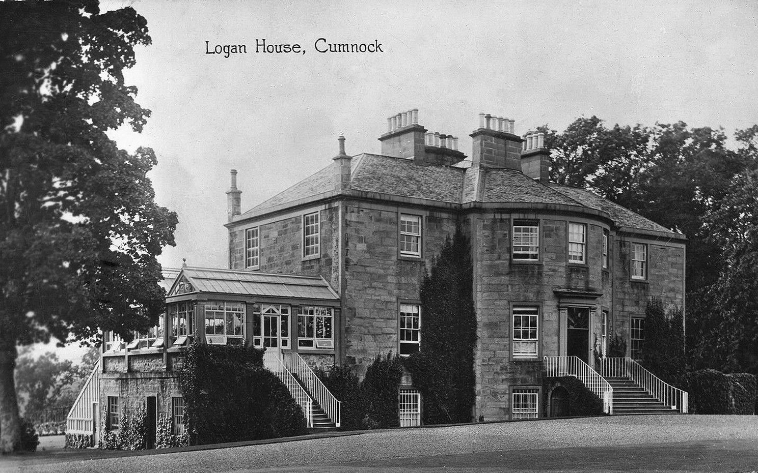
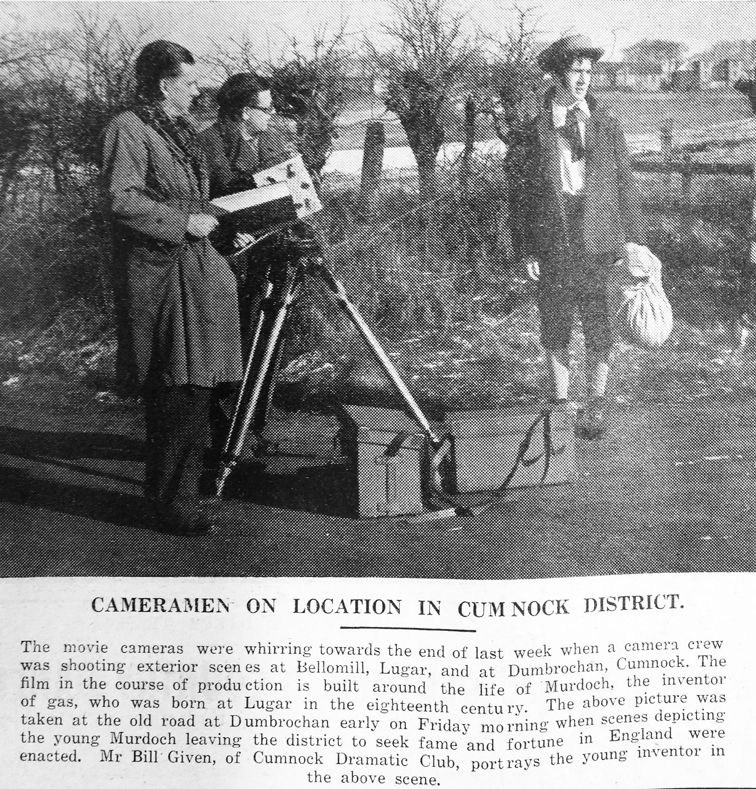
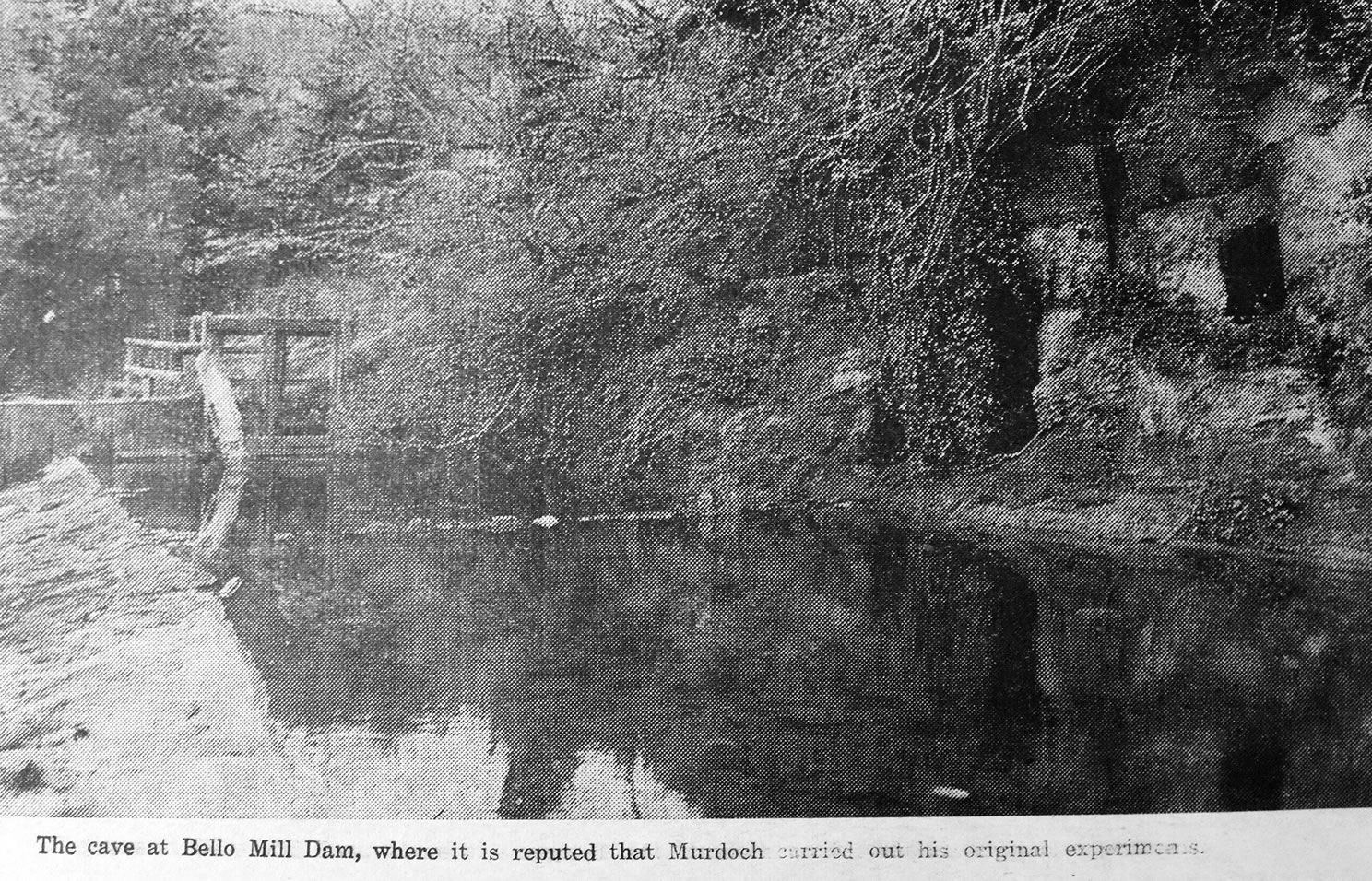
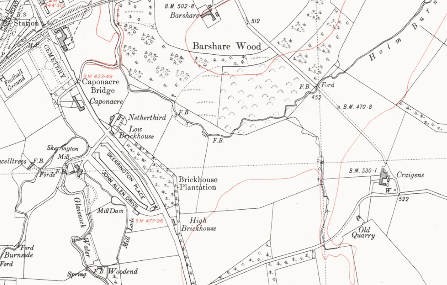
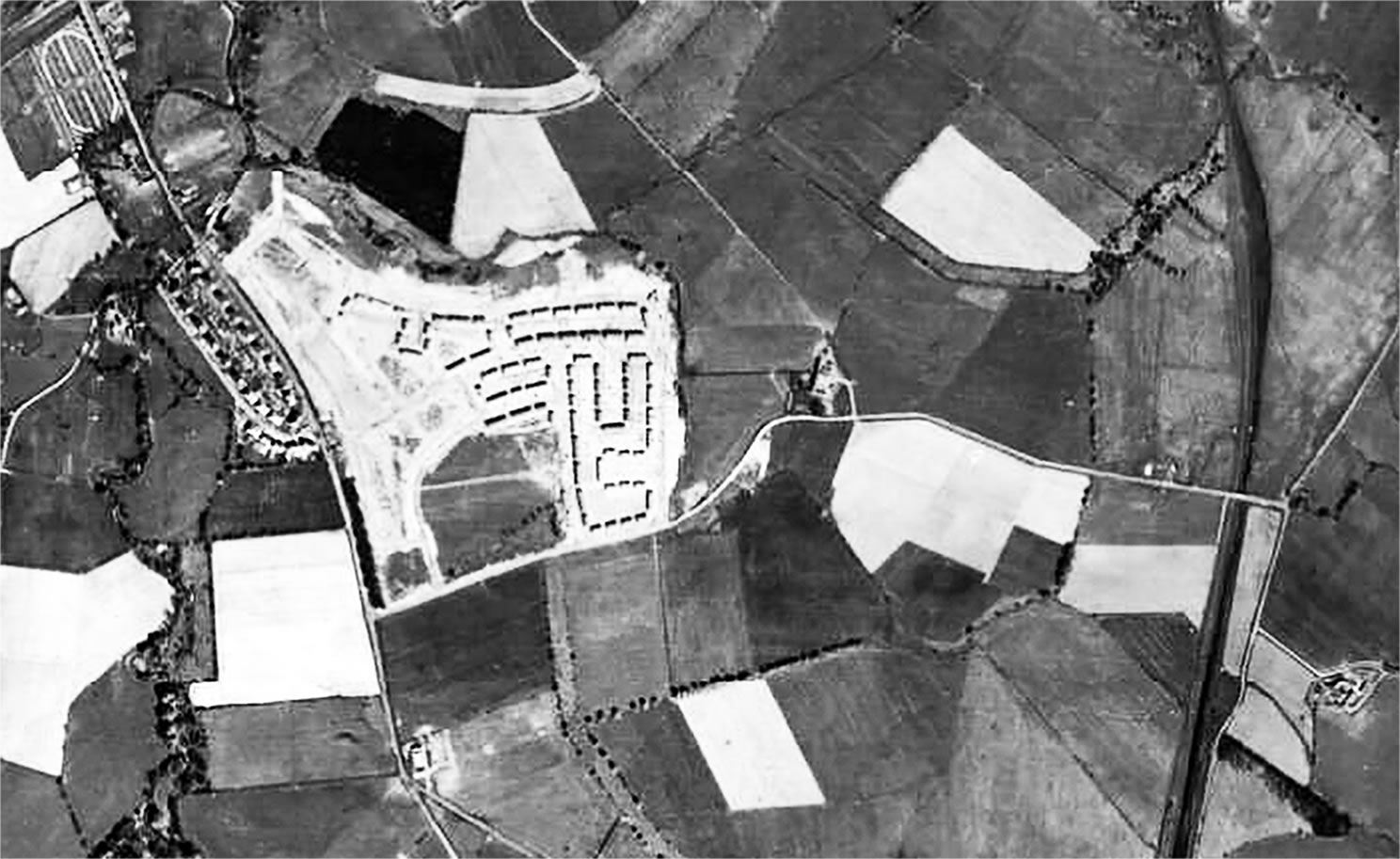
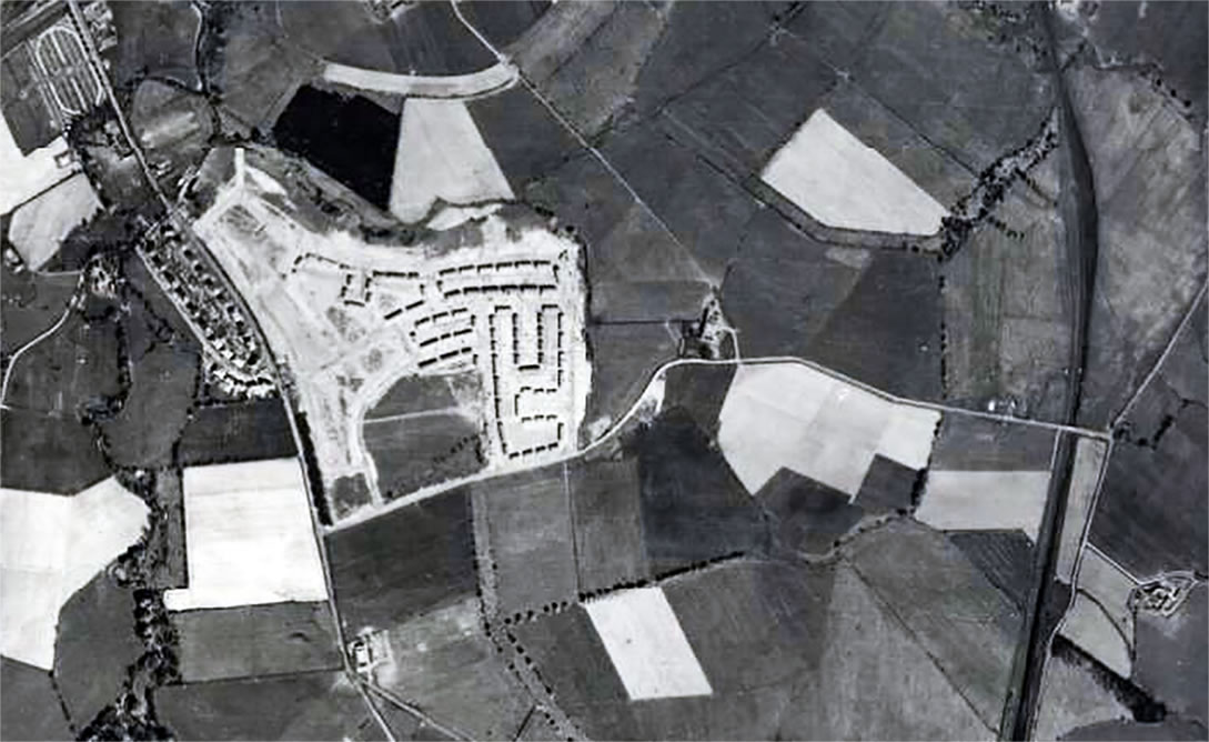
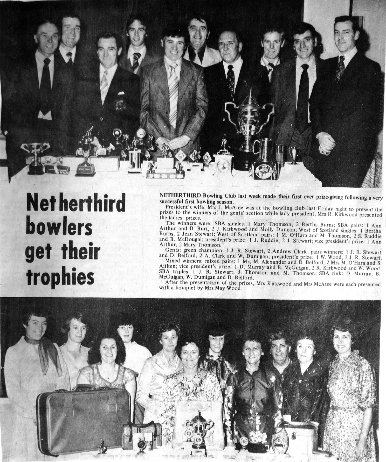
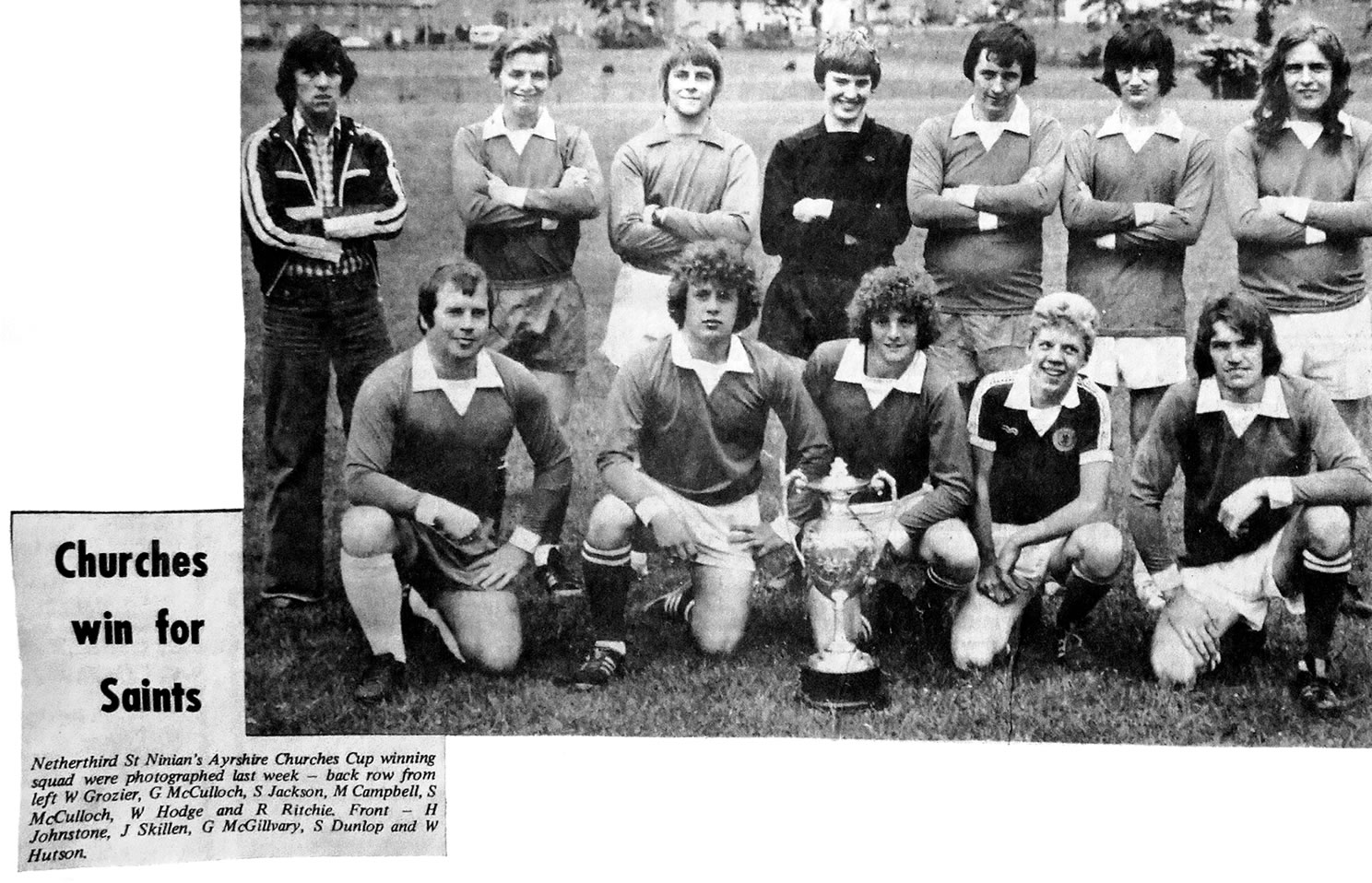
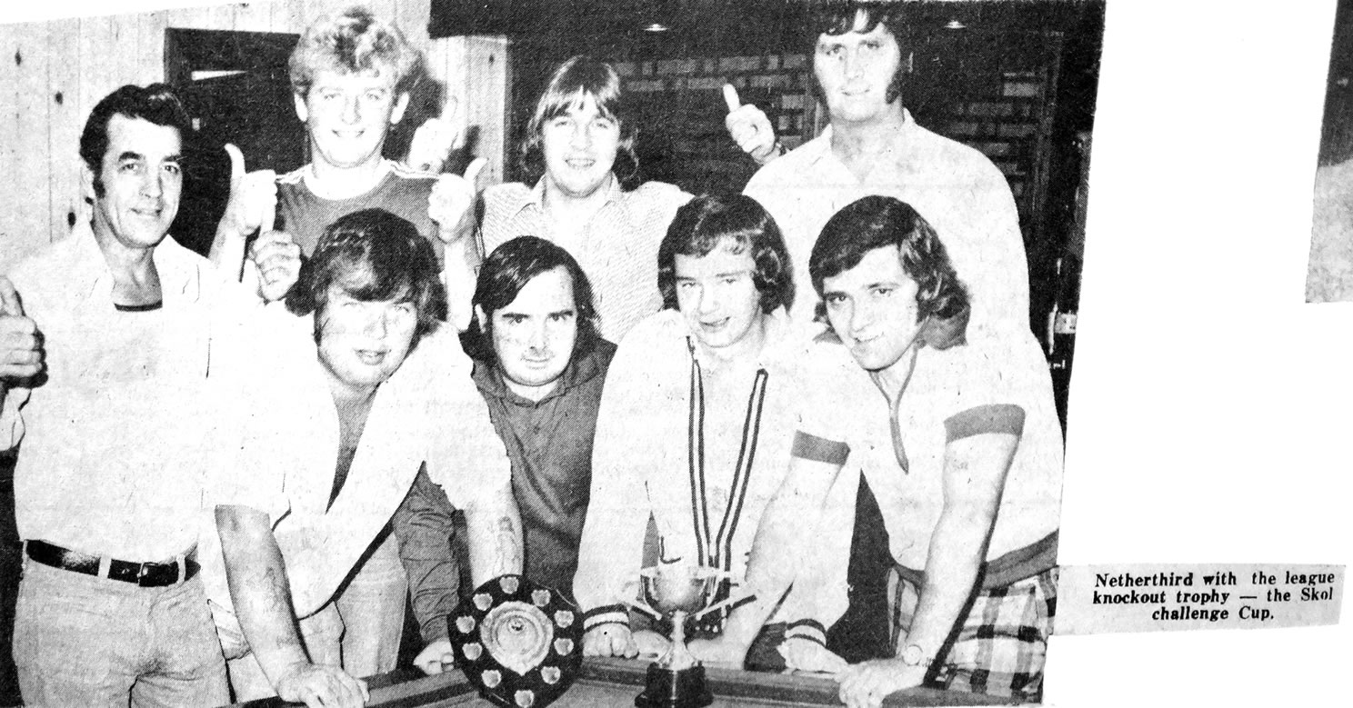
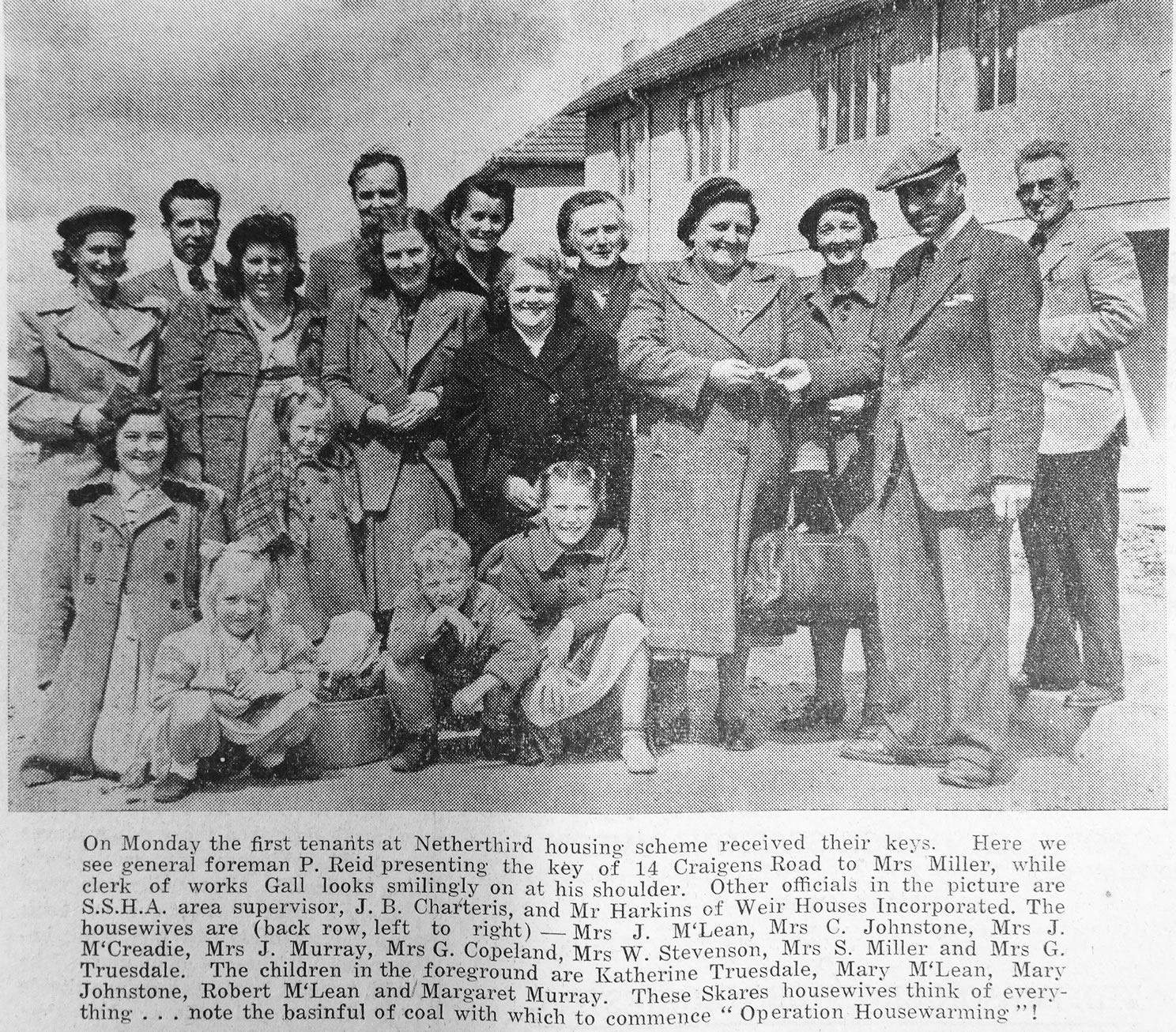
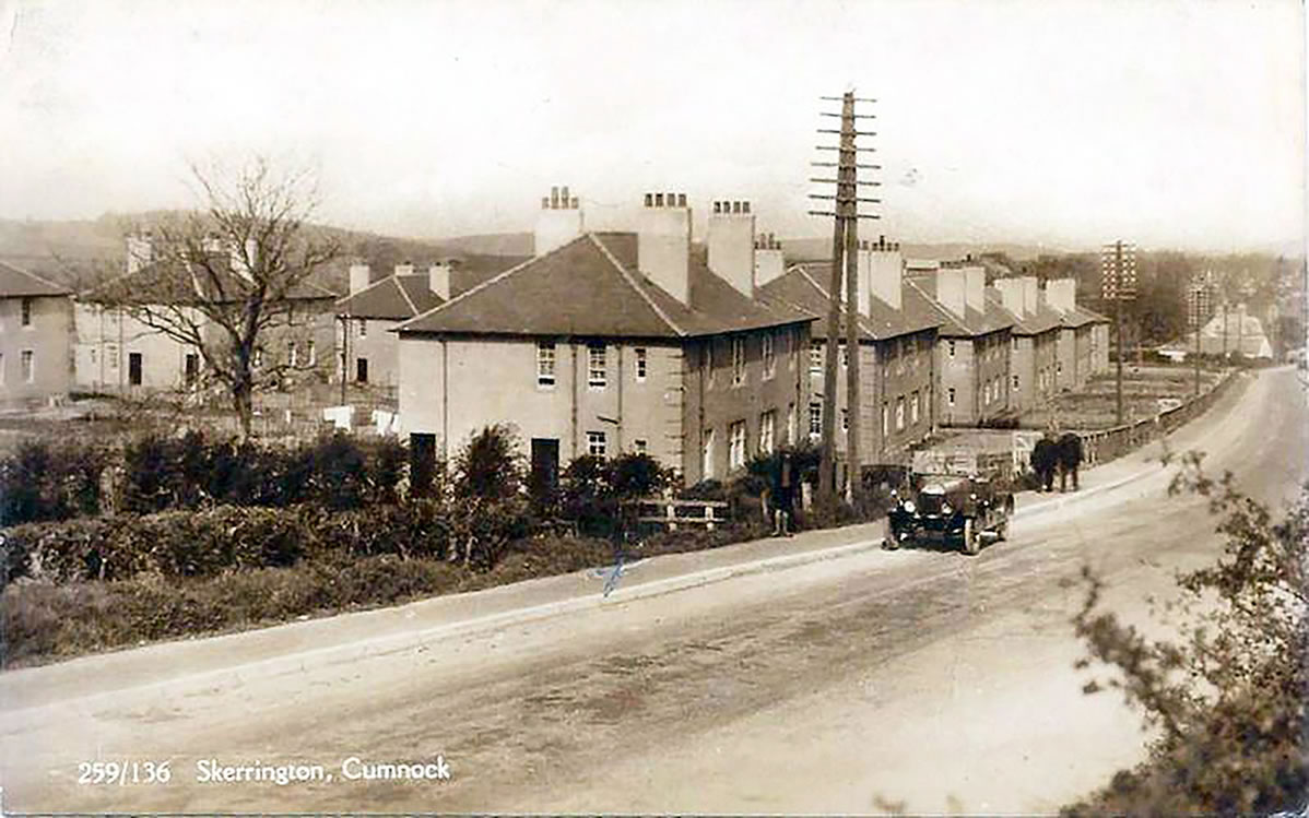
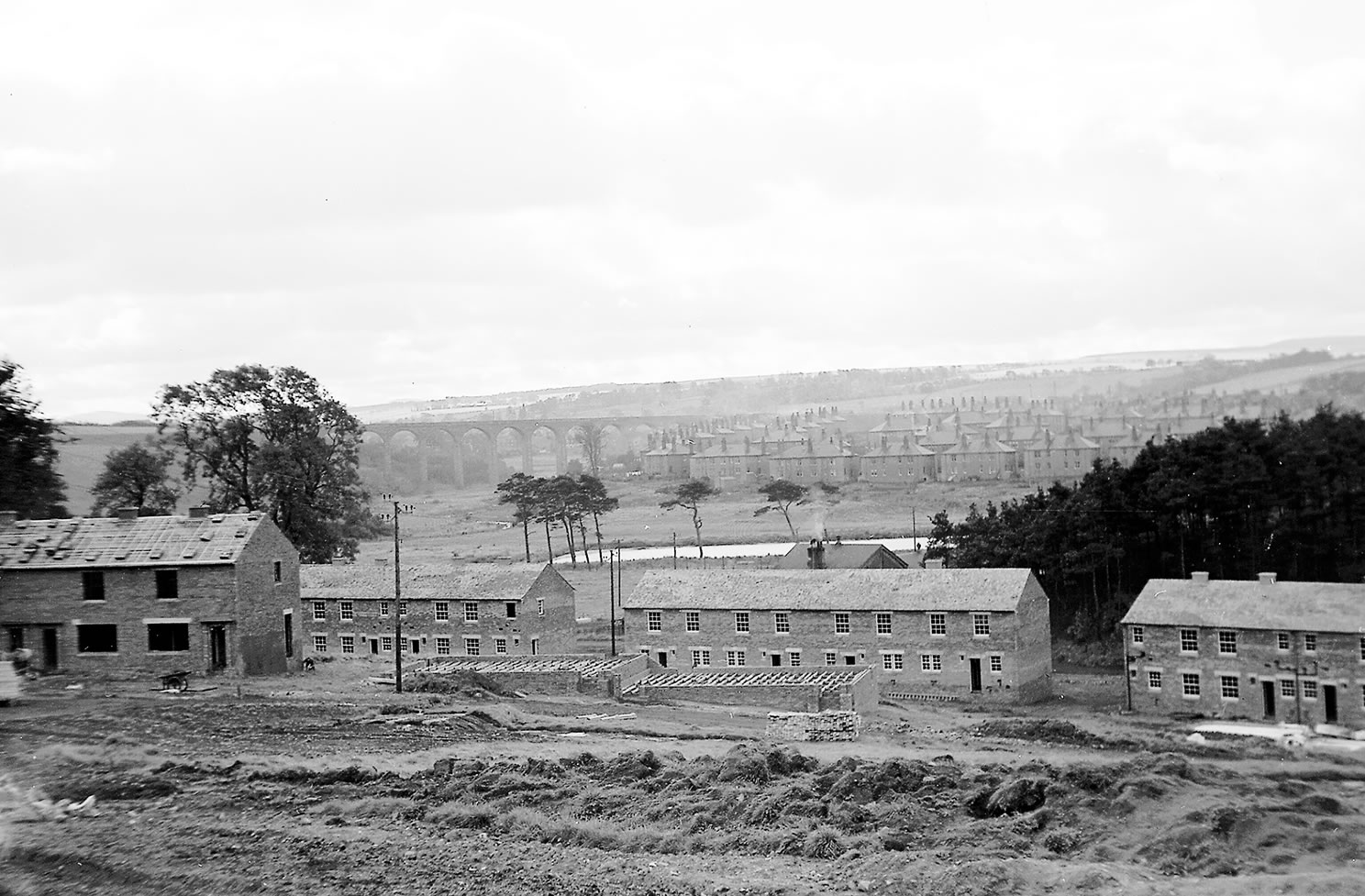
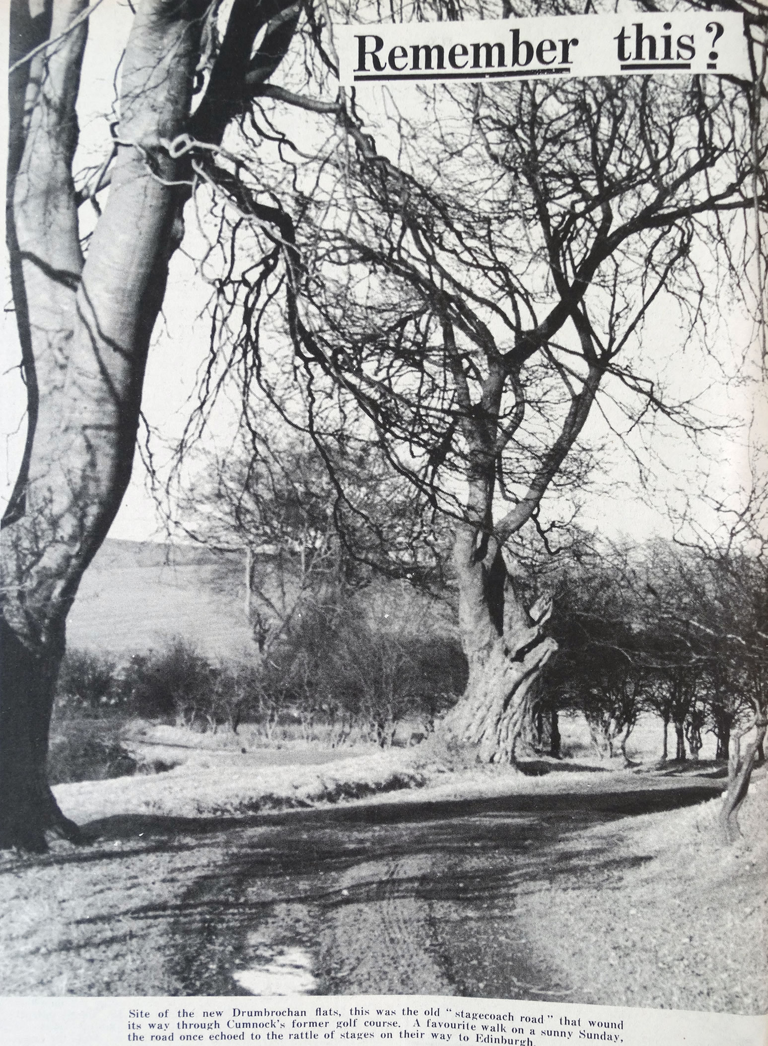
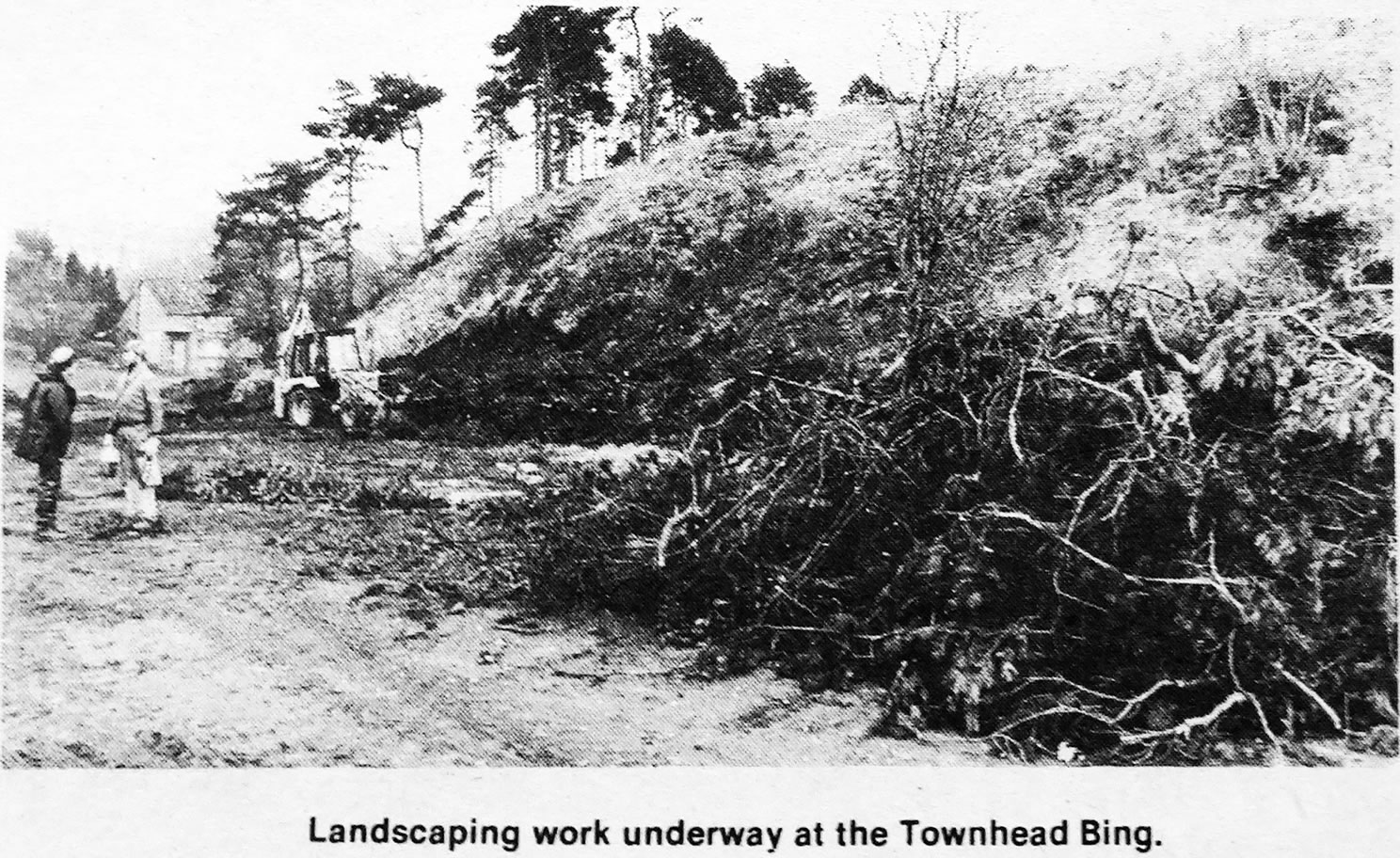
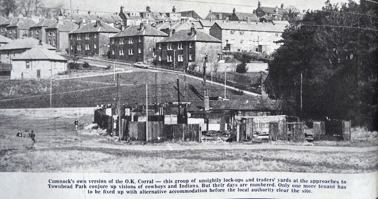
A selection of views and articles about Barshare, Drumbrochan and the surrounding area.
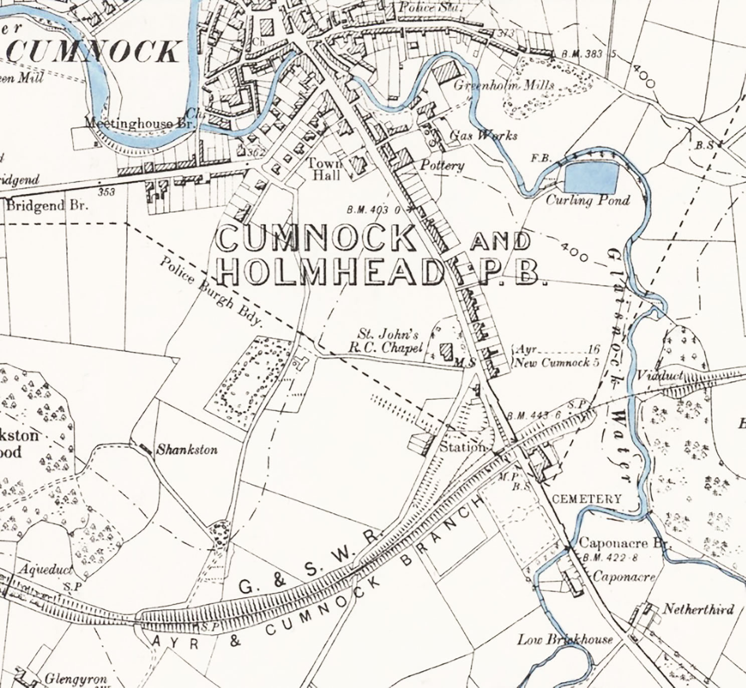
Barshare and Drumbrochan map 1908
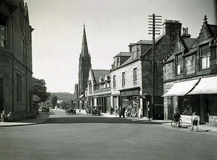
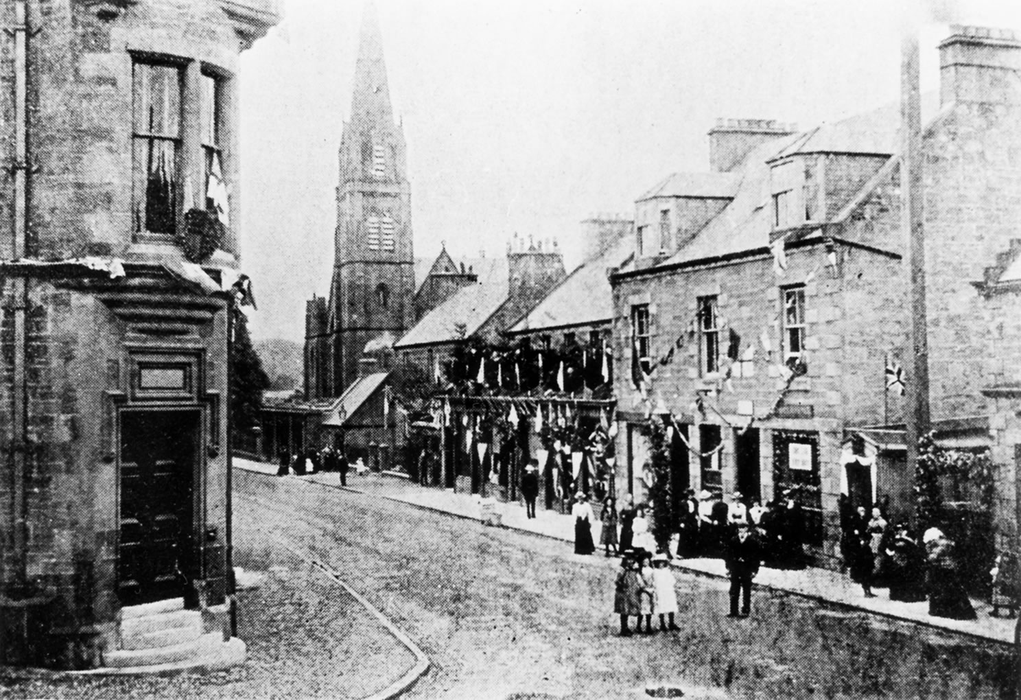
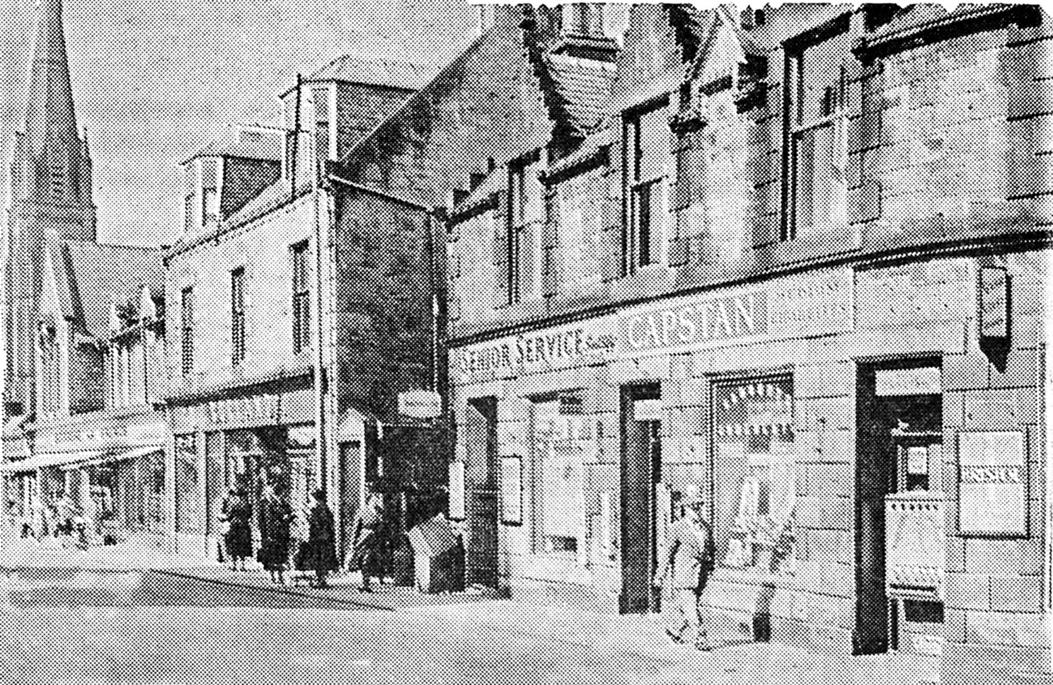
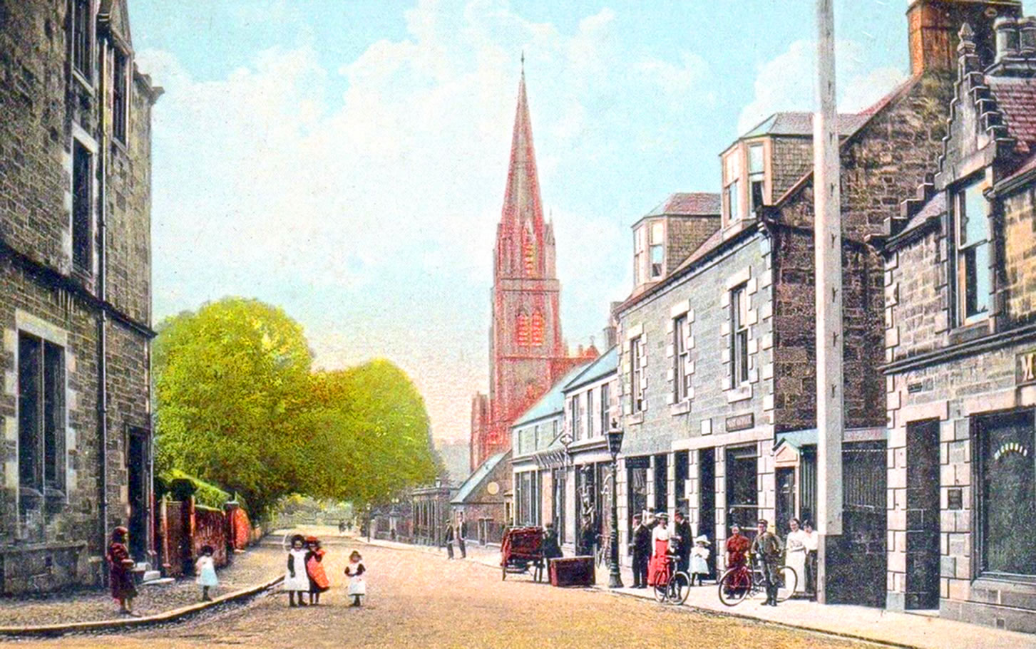
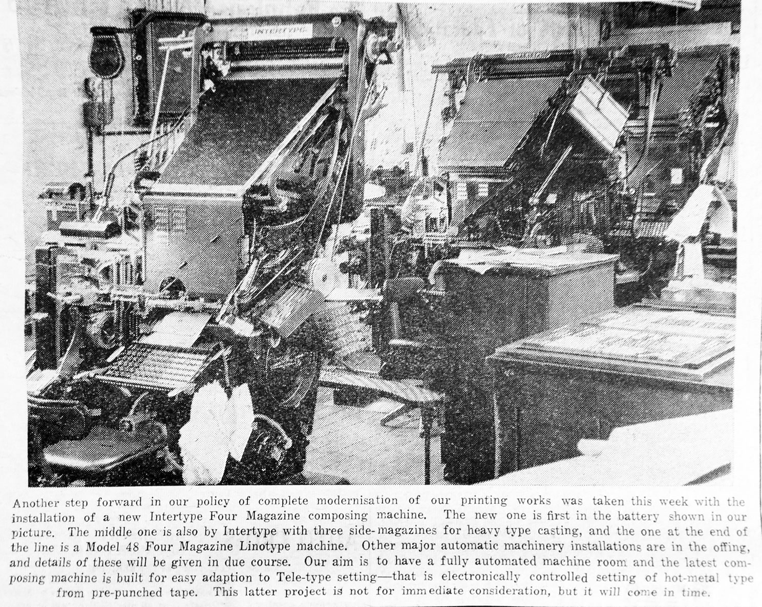
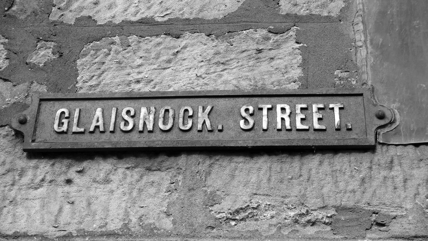
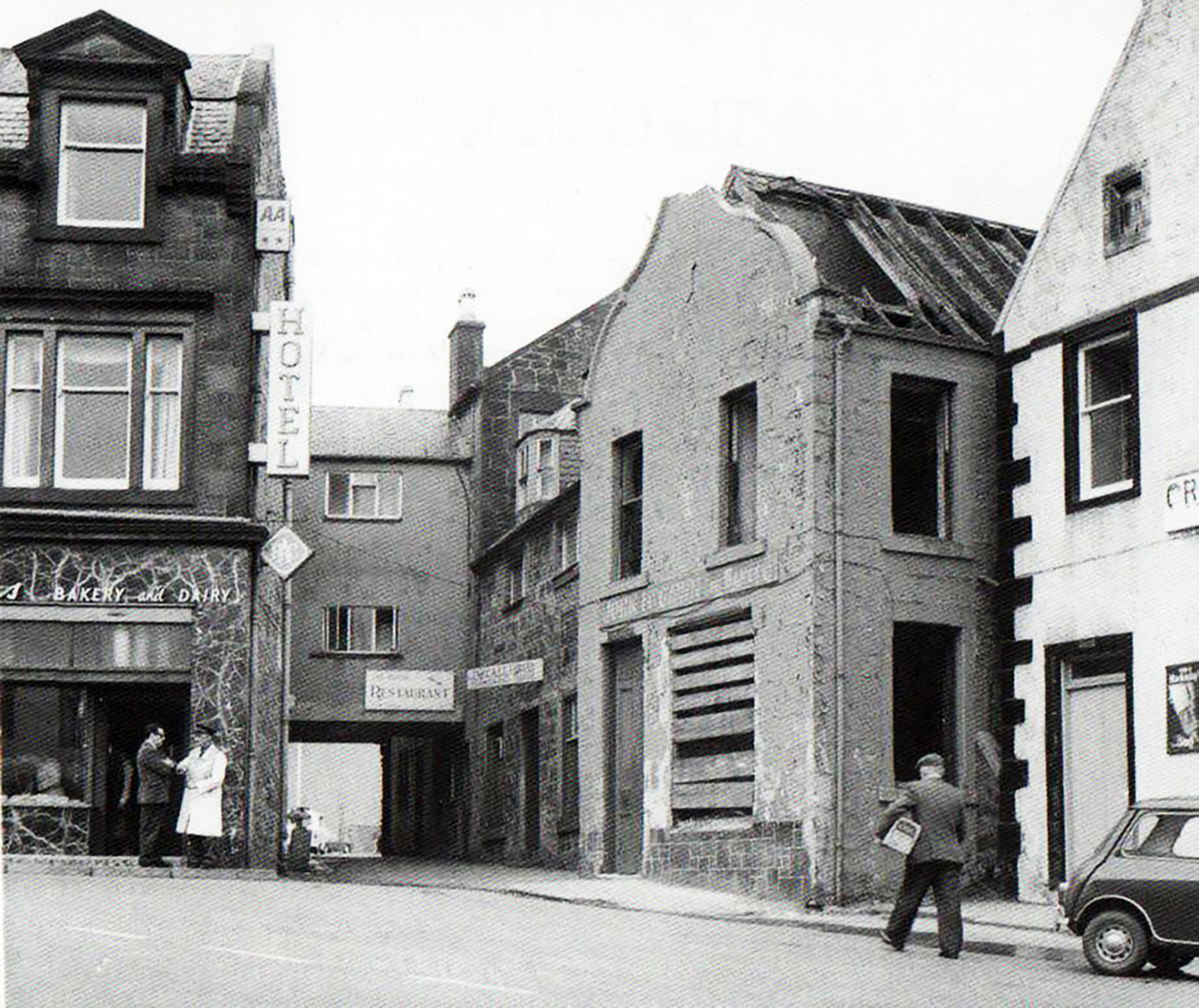
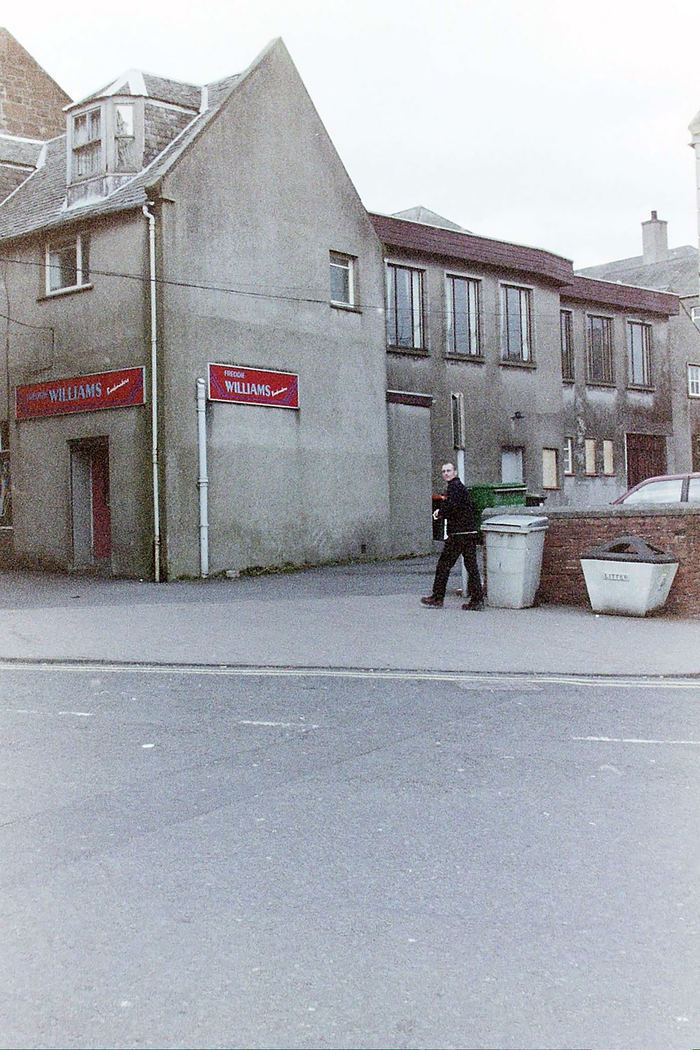
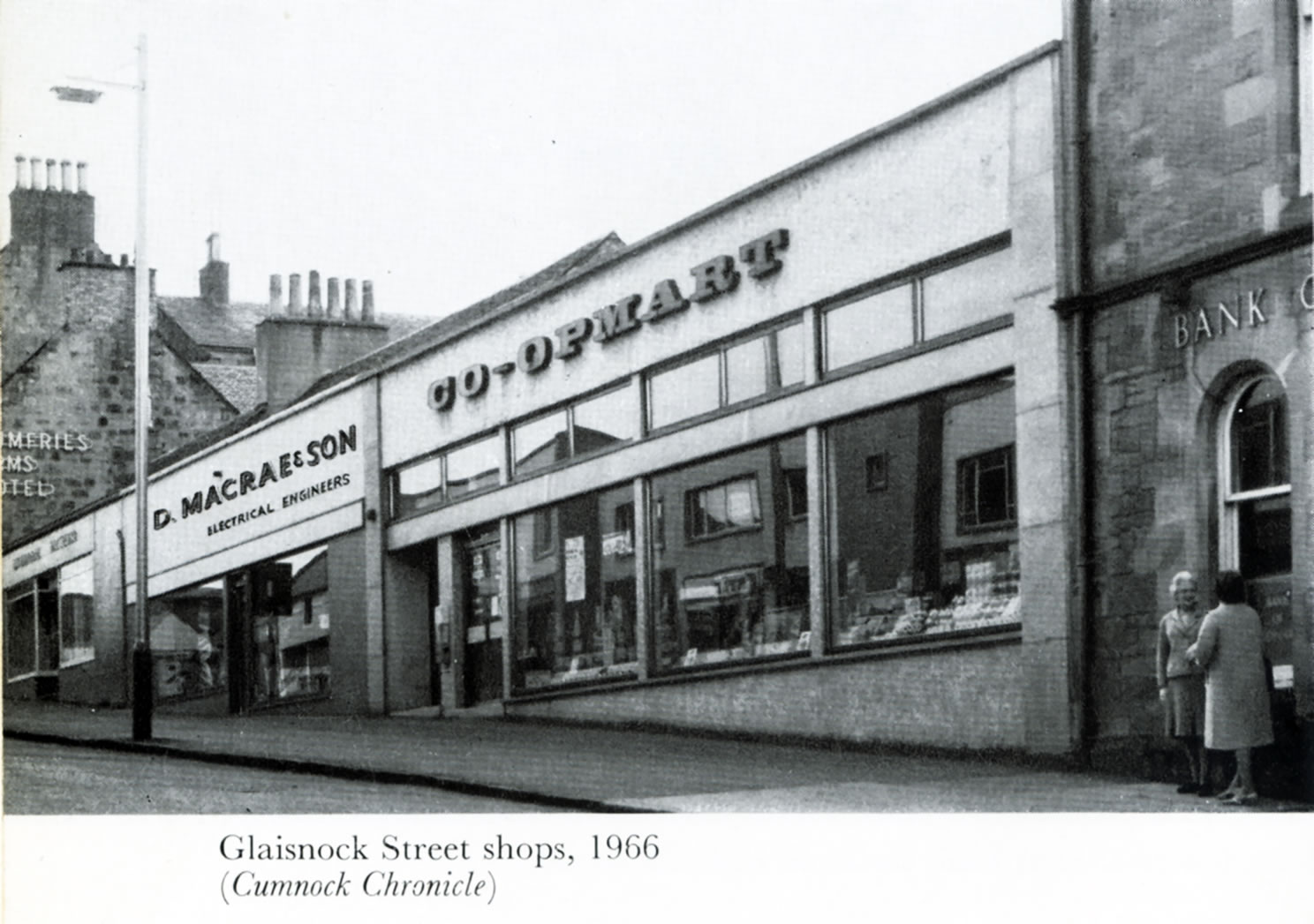
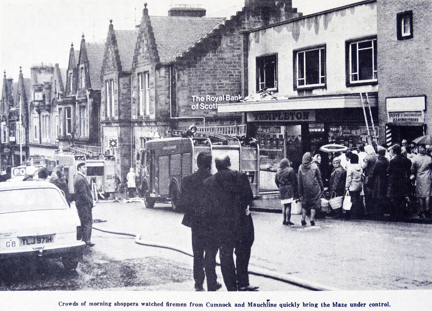
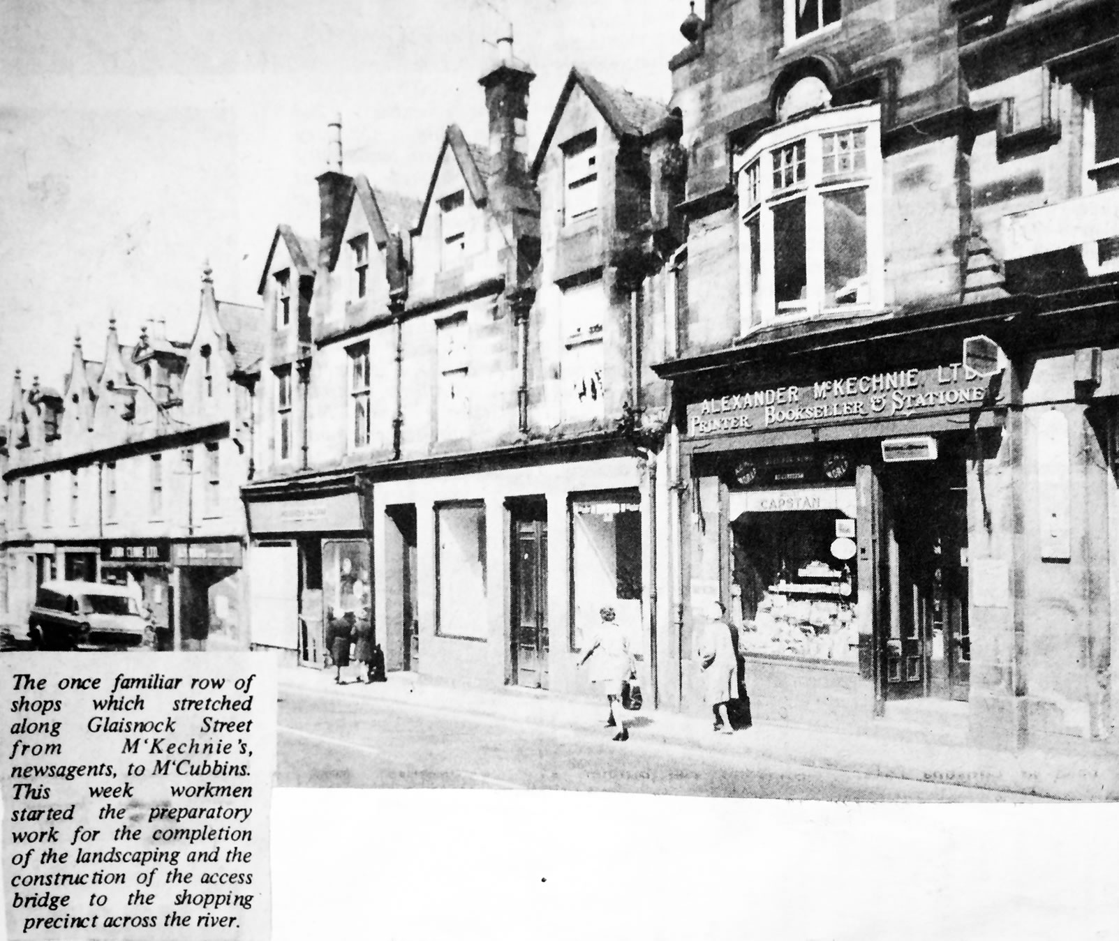
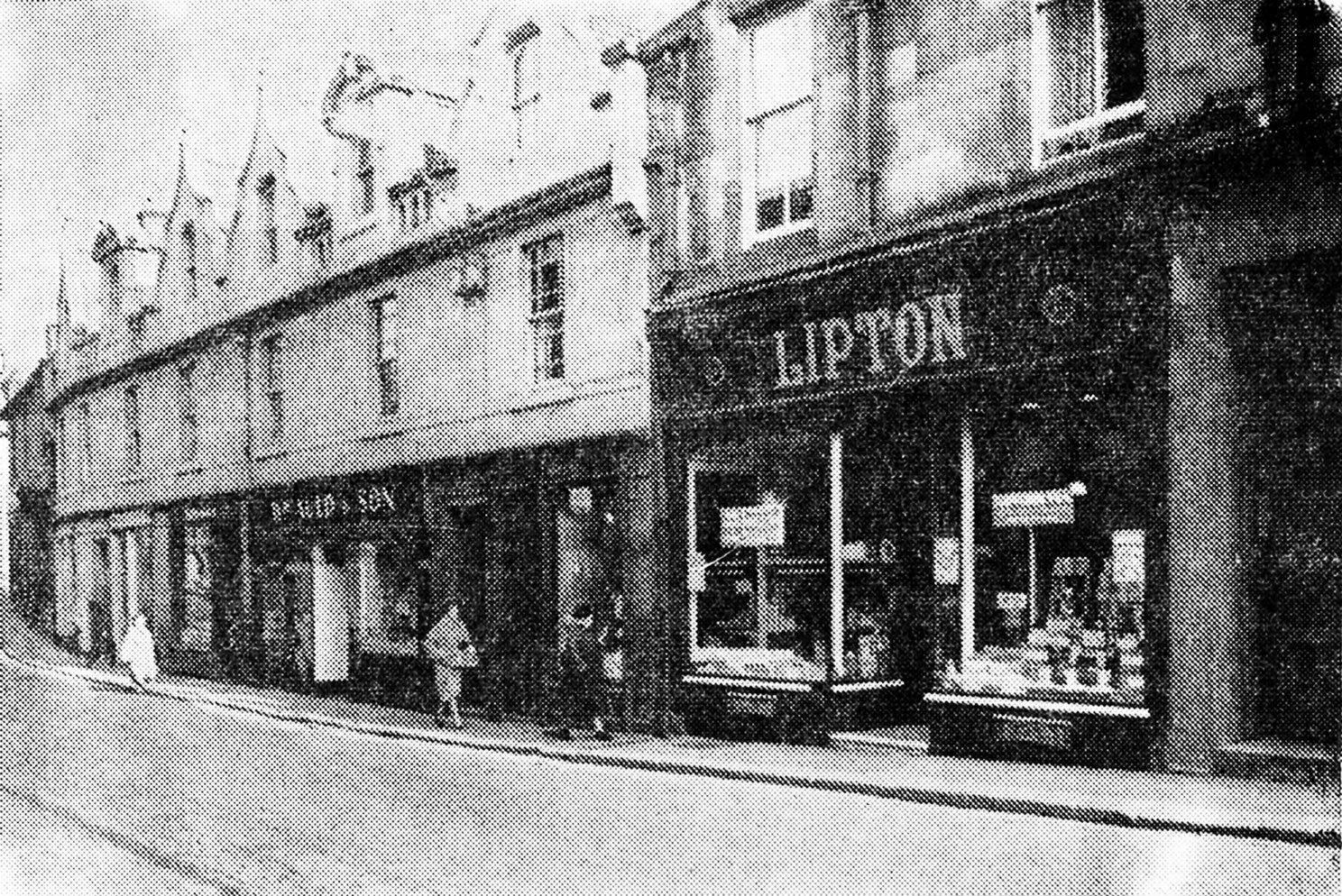
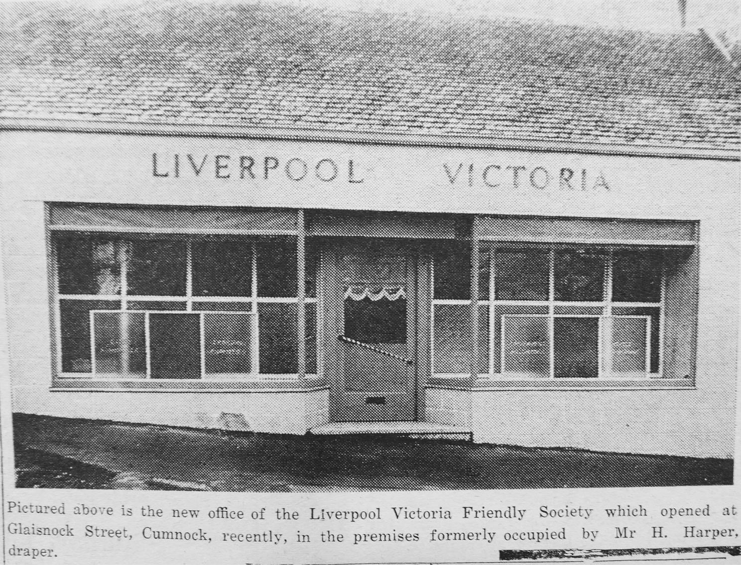
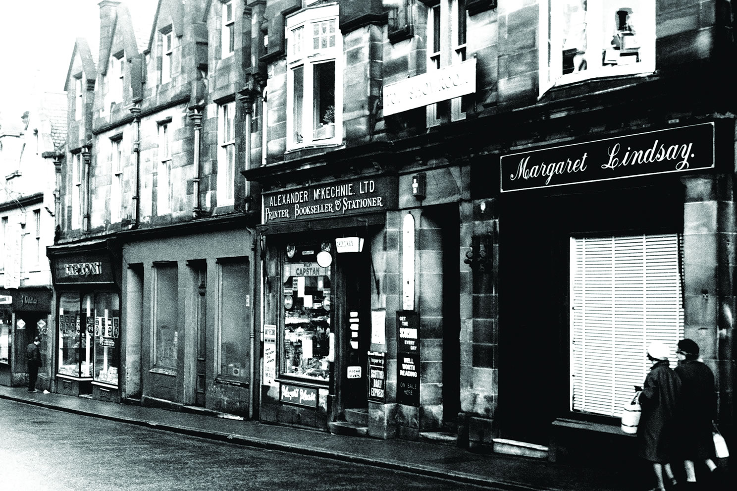
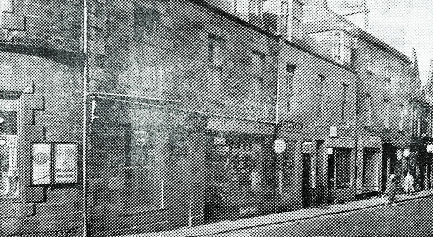
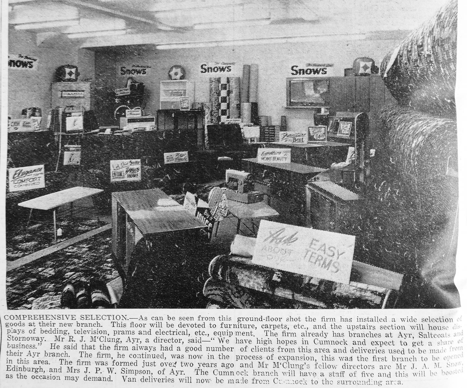
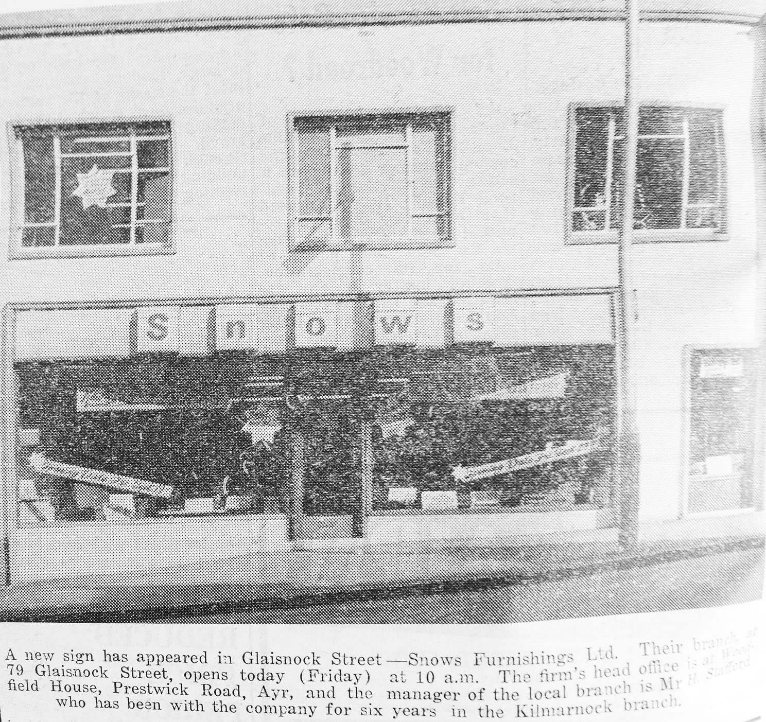
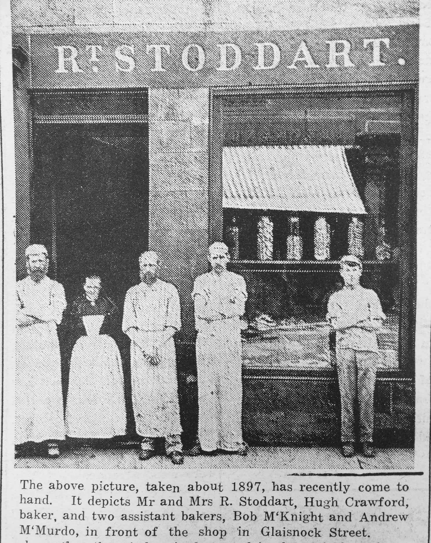
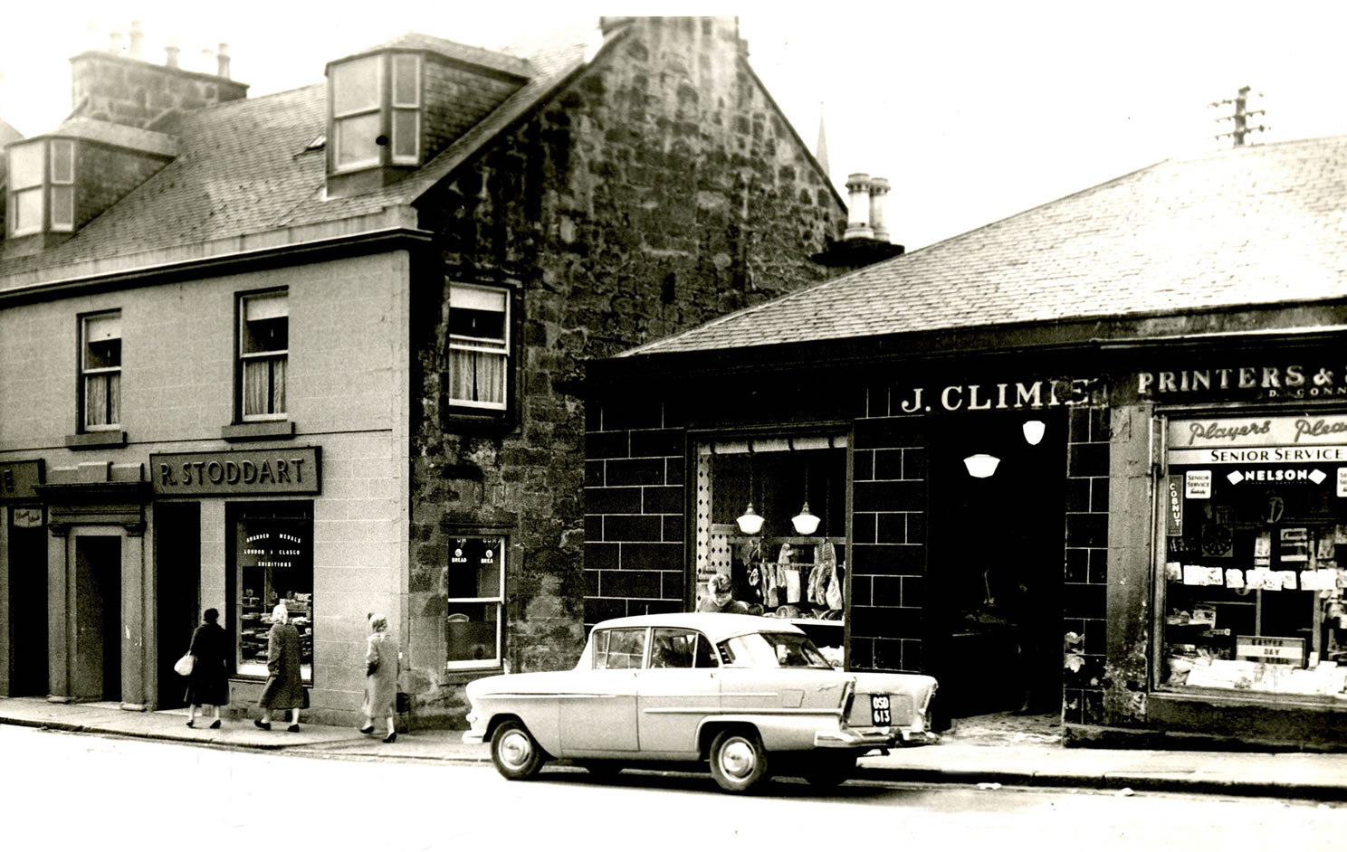
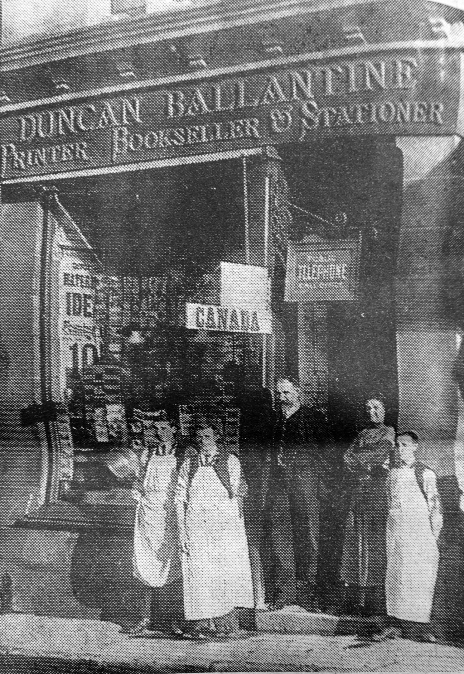
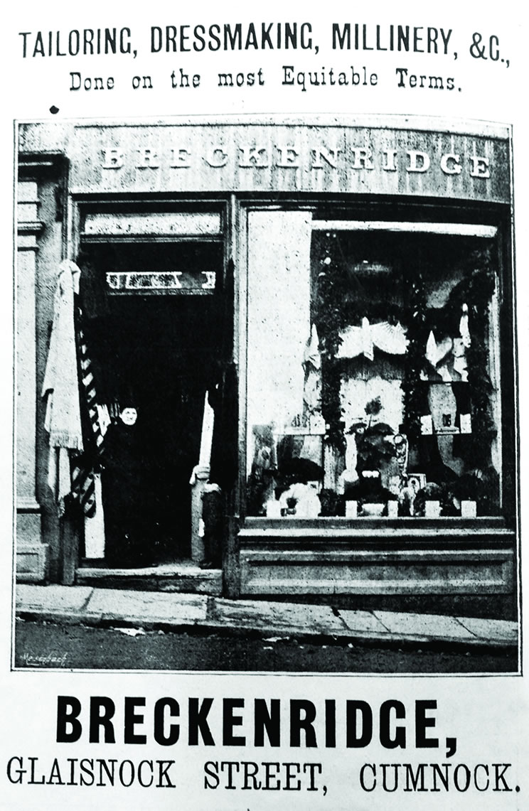
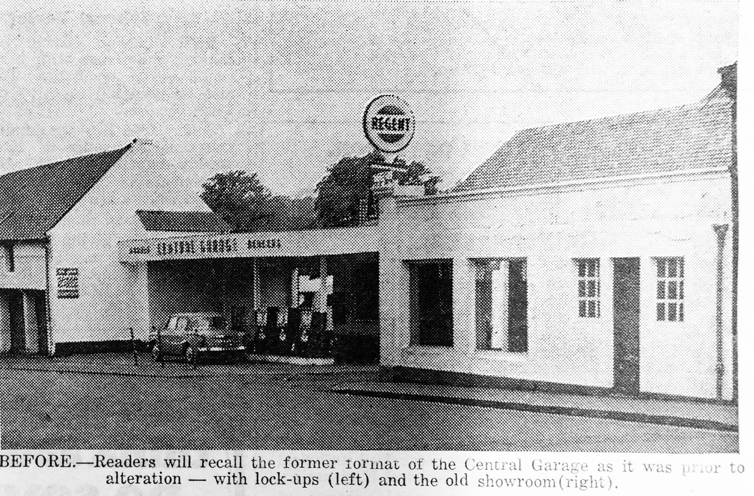
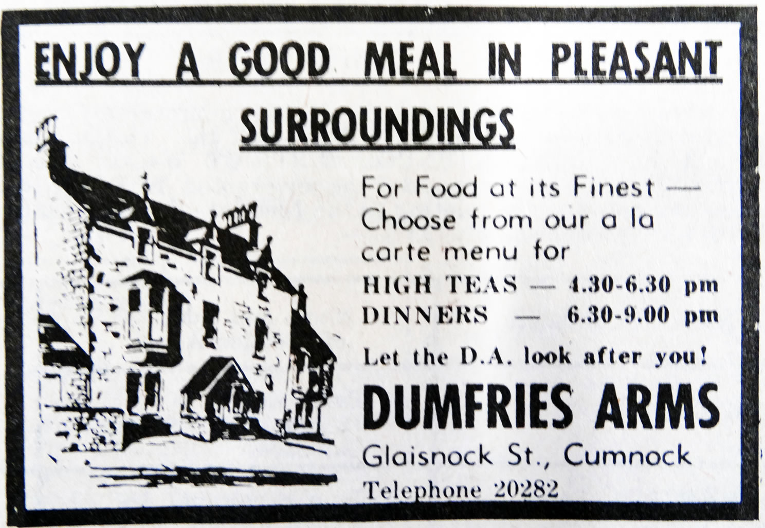
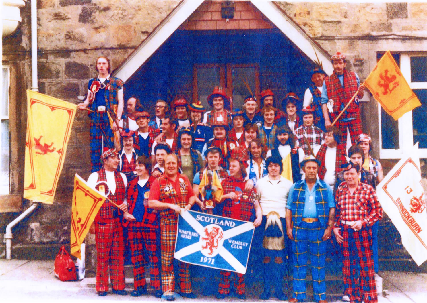
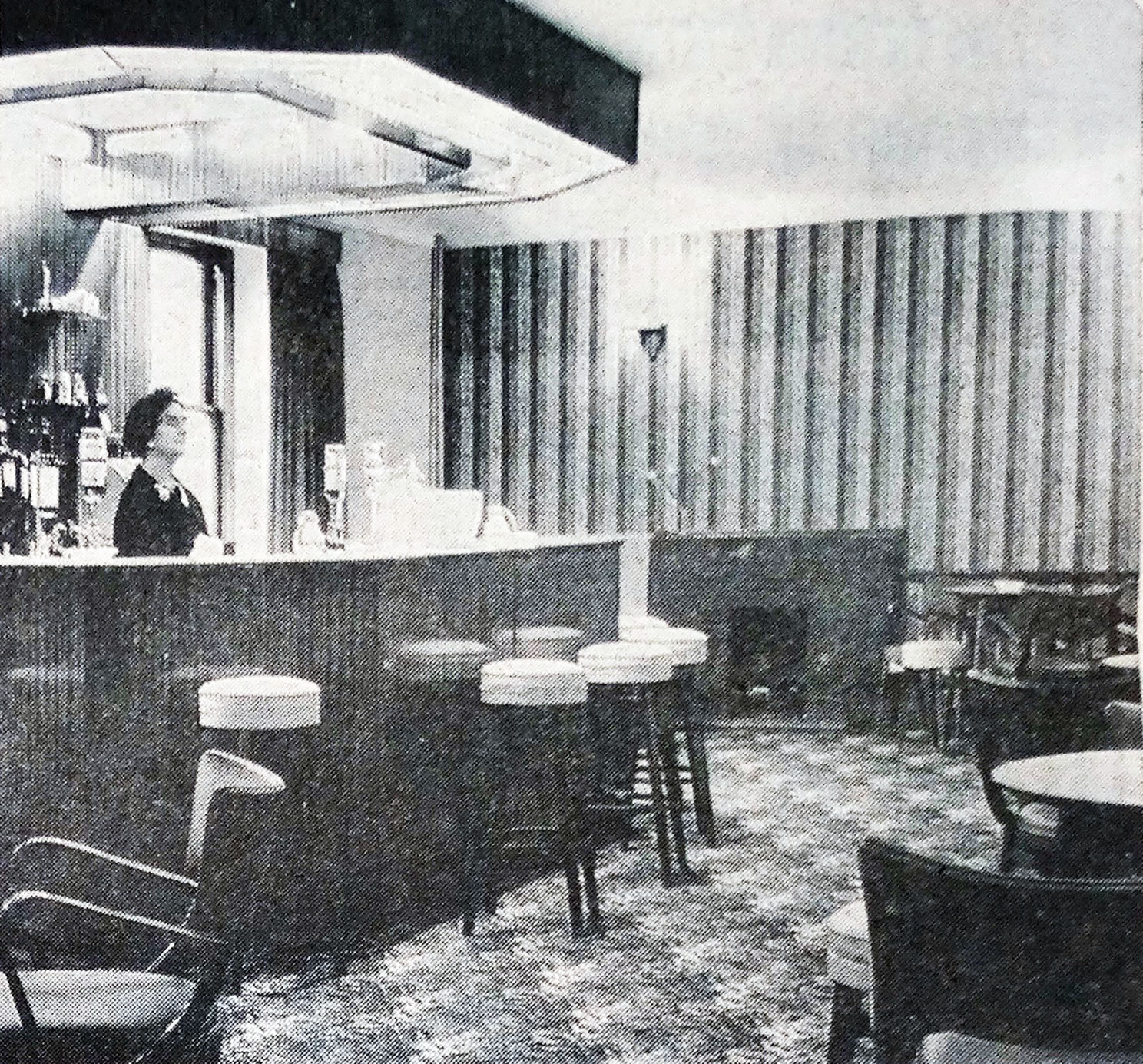
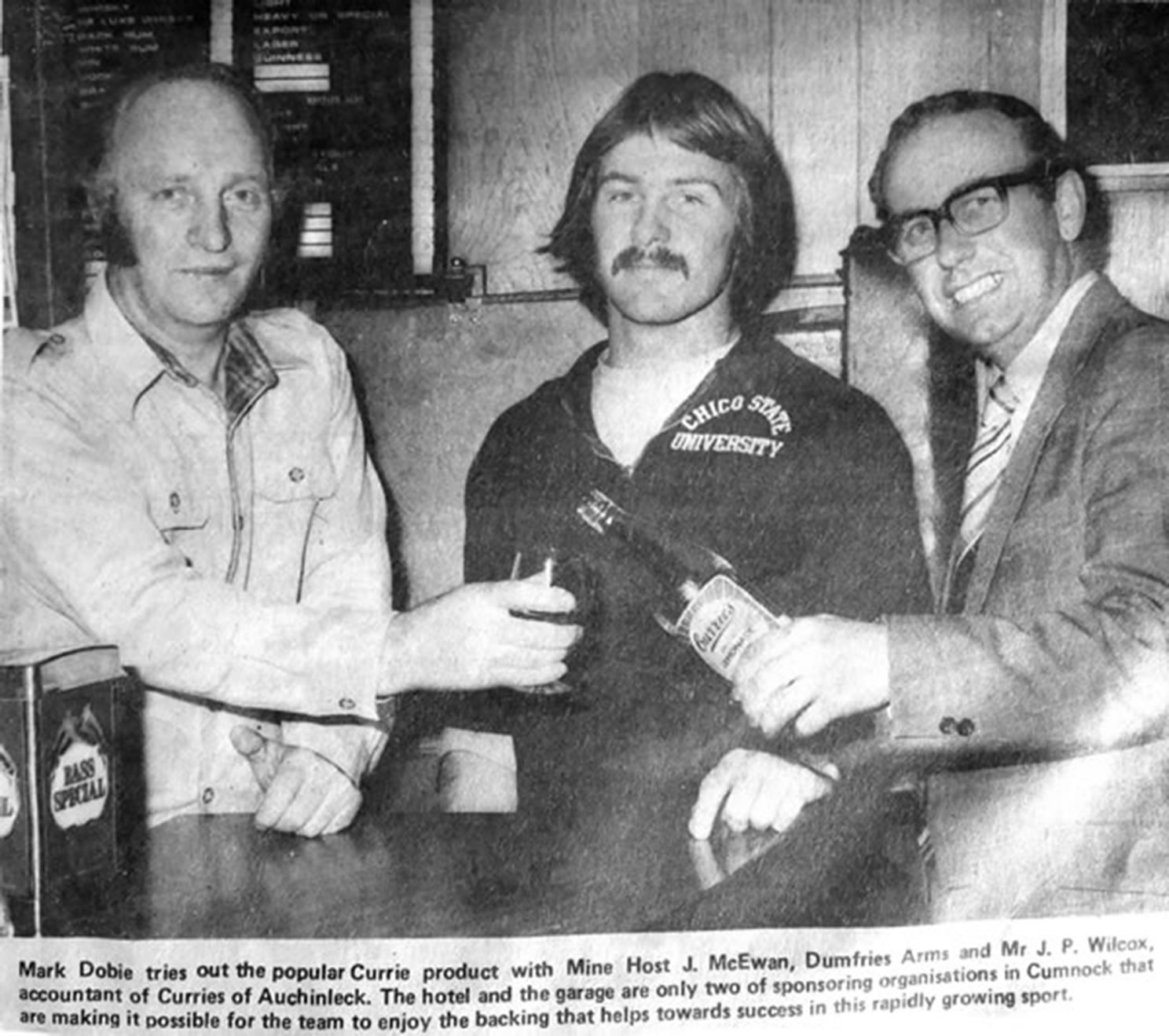
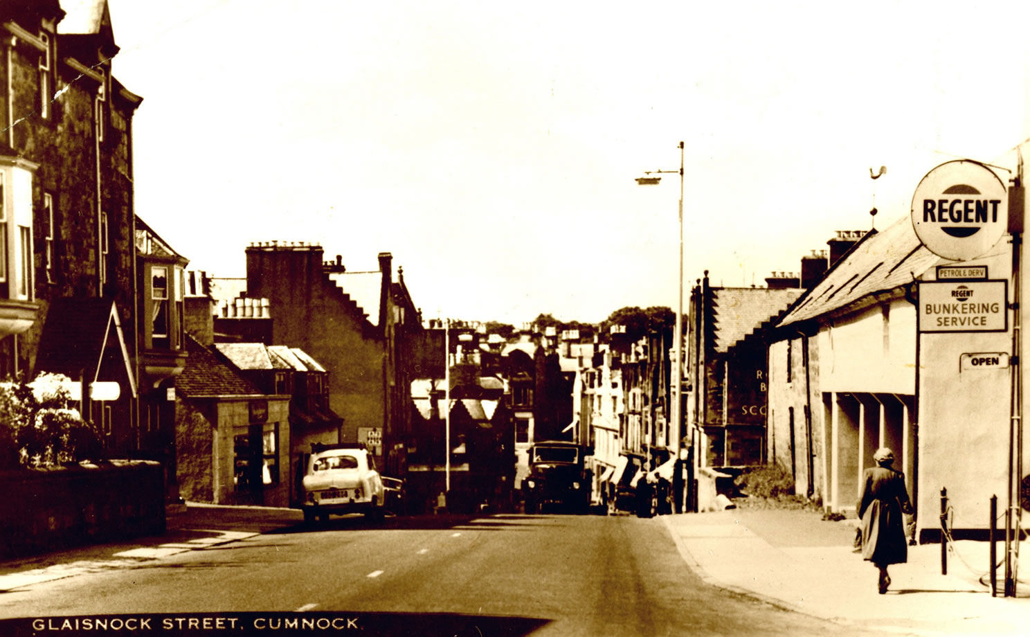
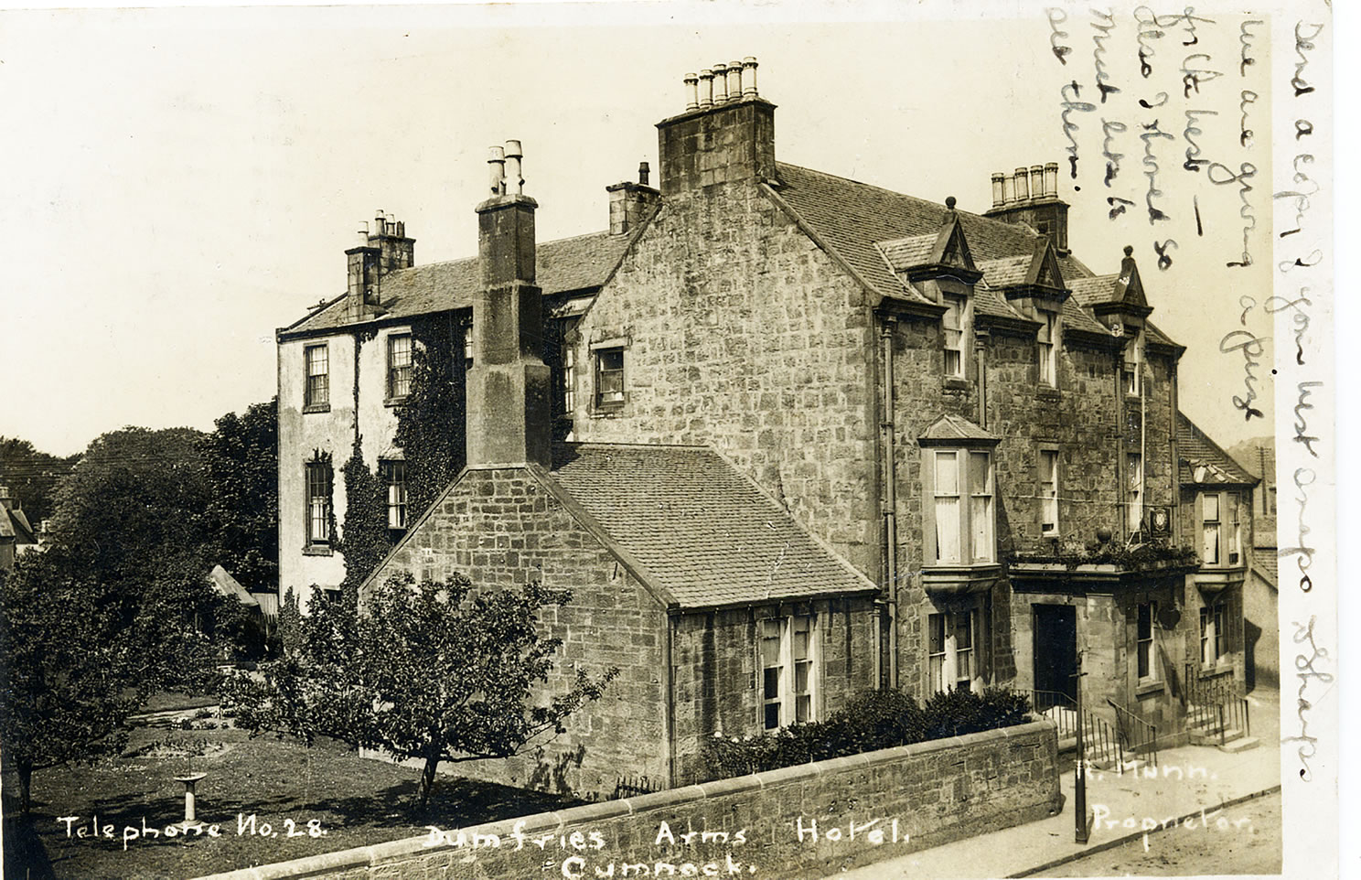
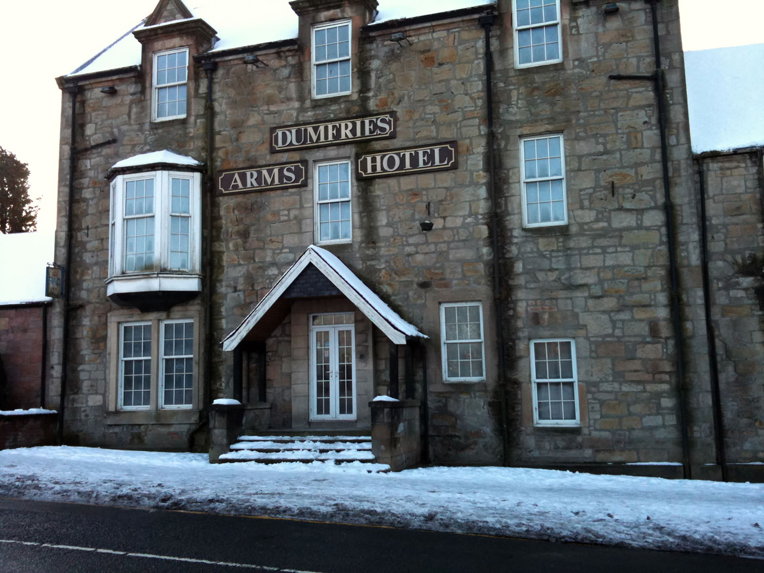
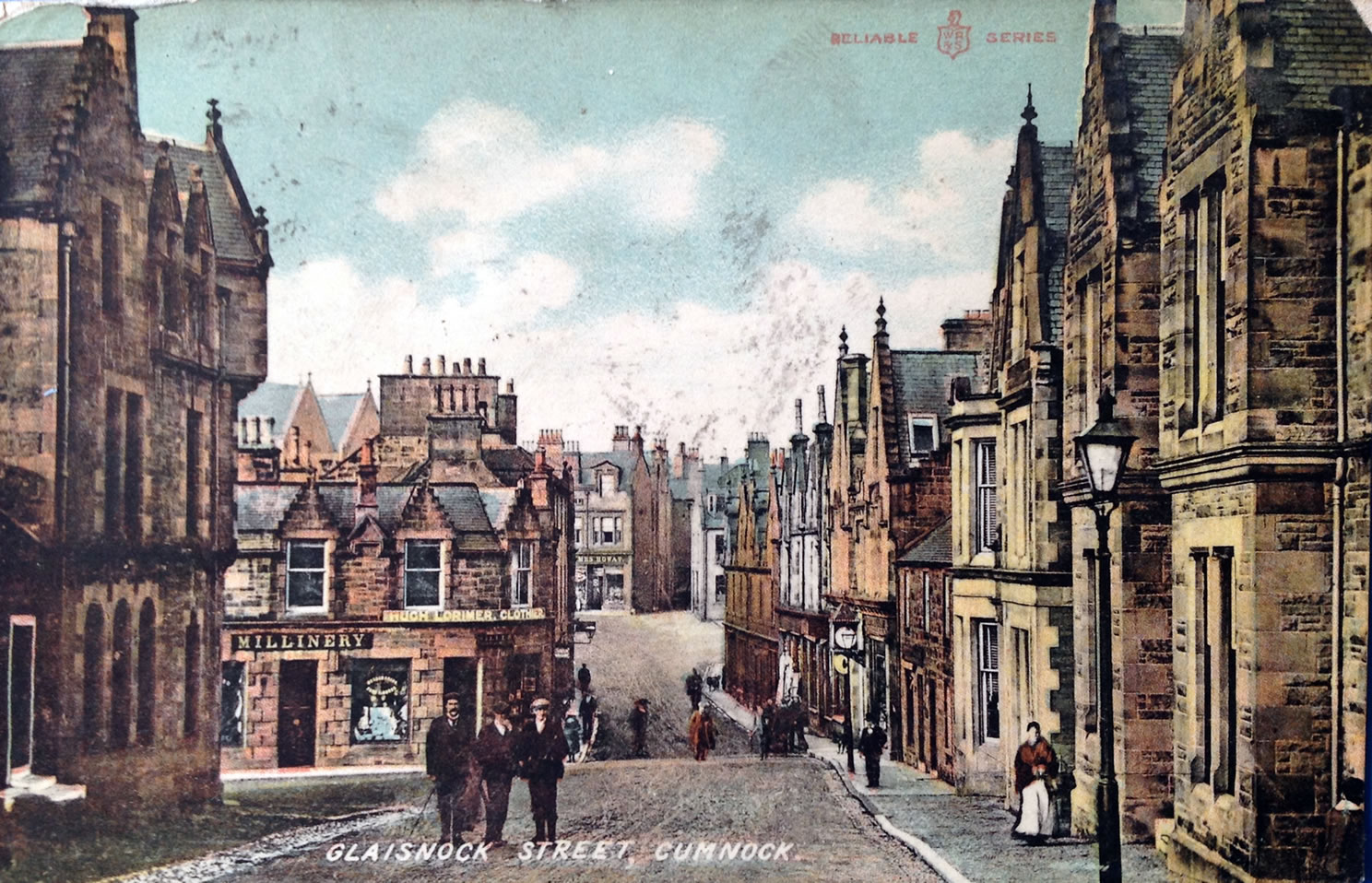
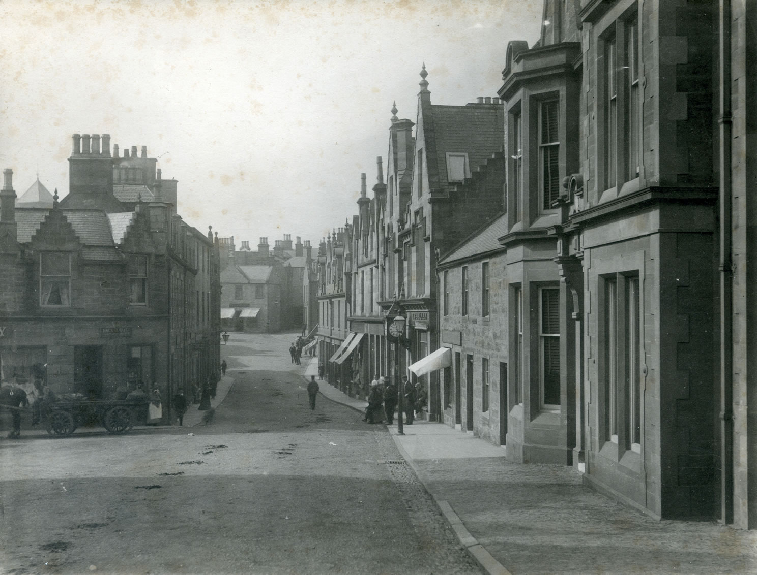
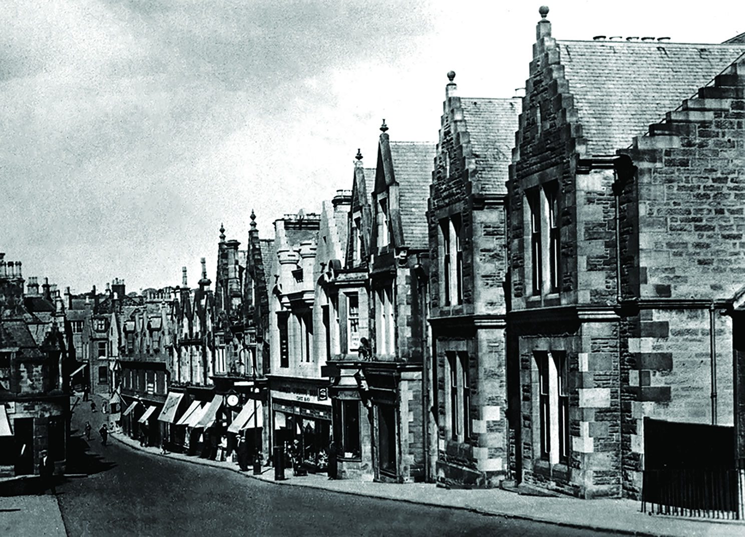
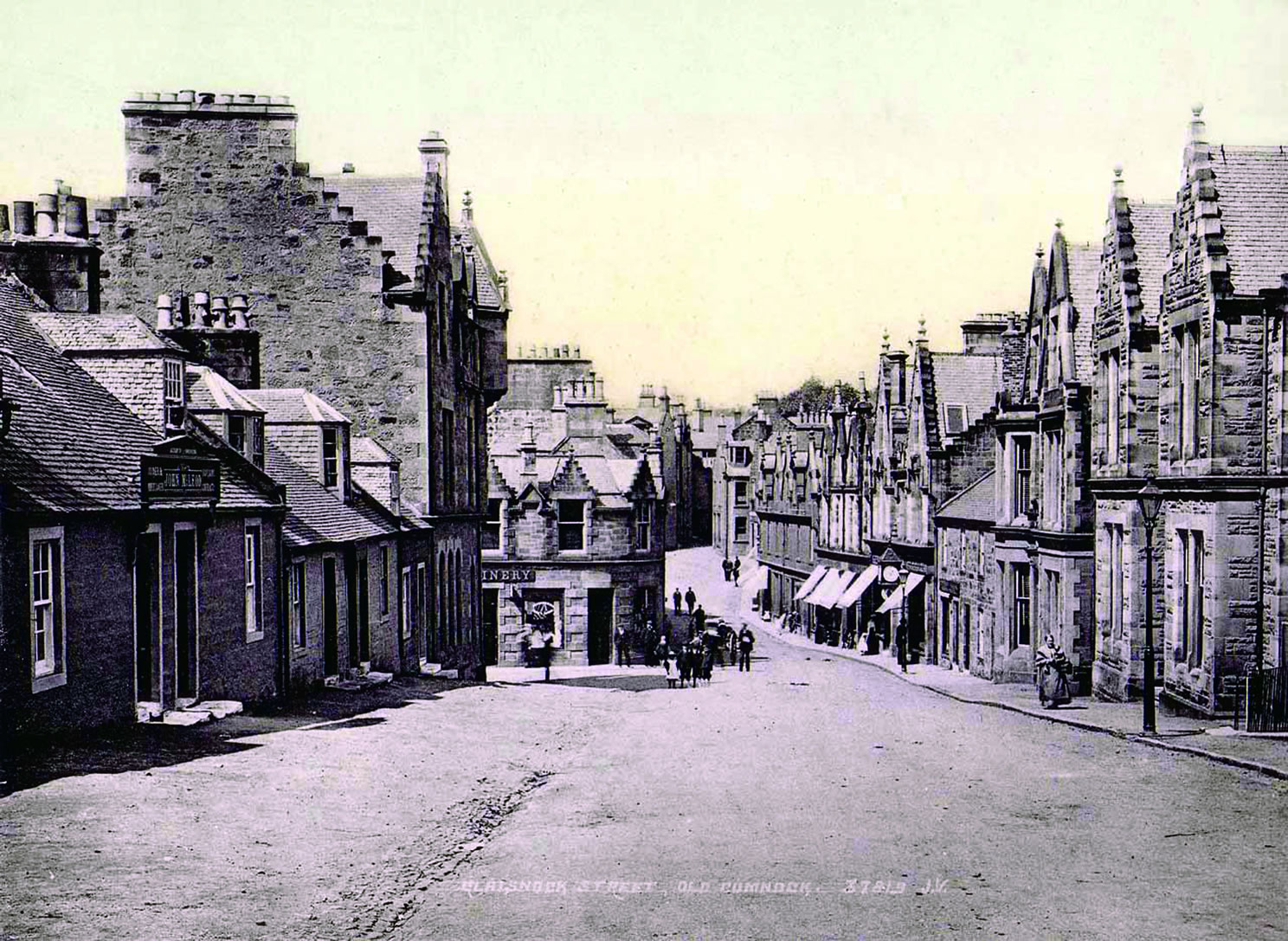
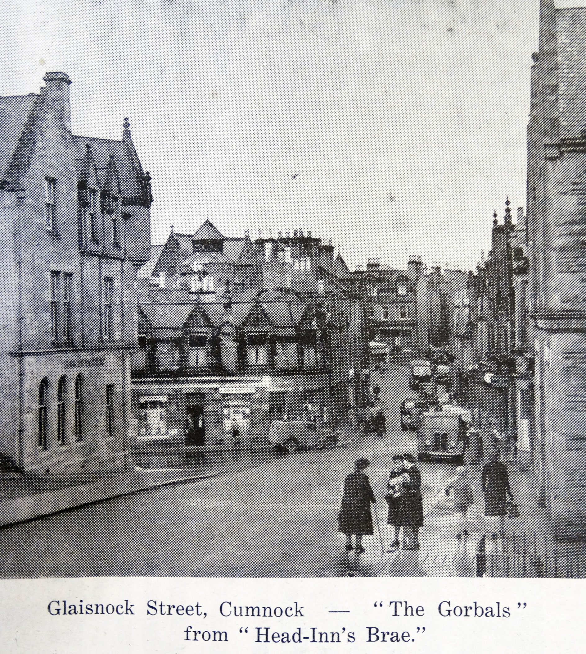
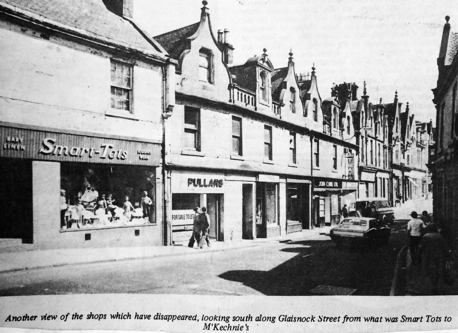
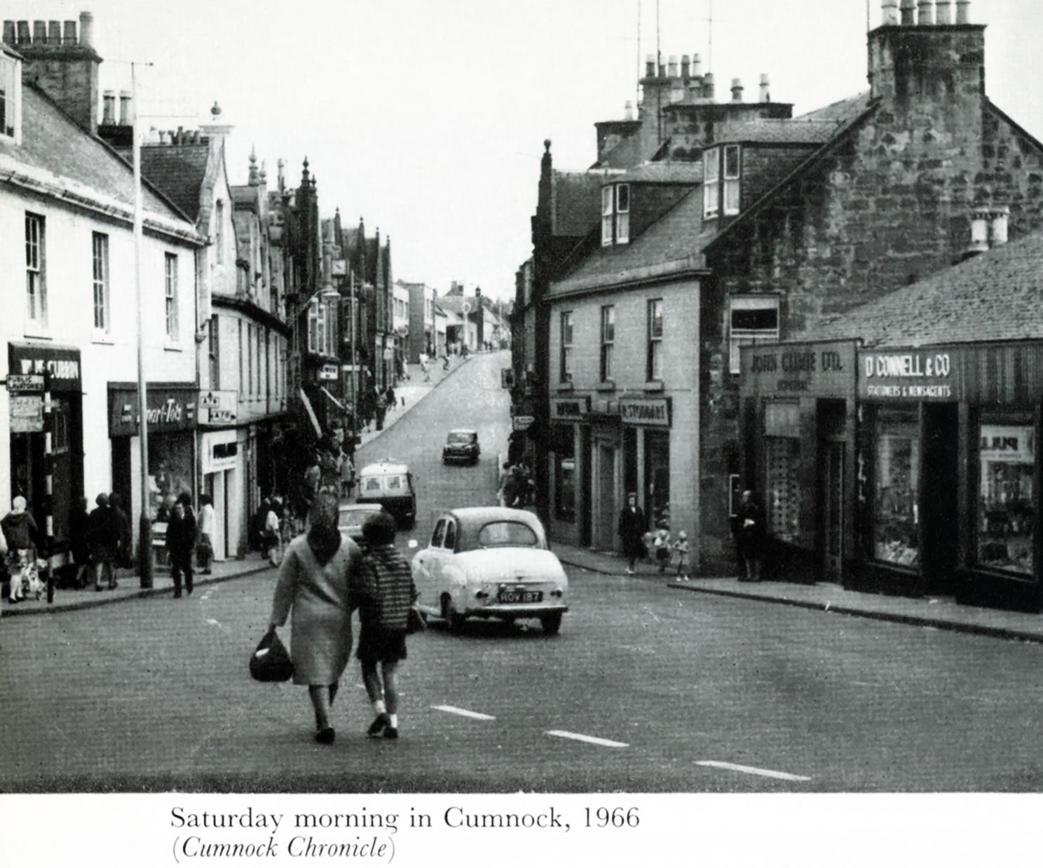
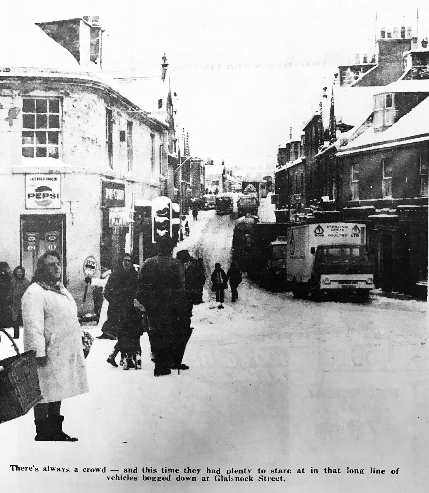
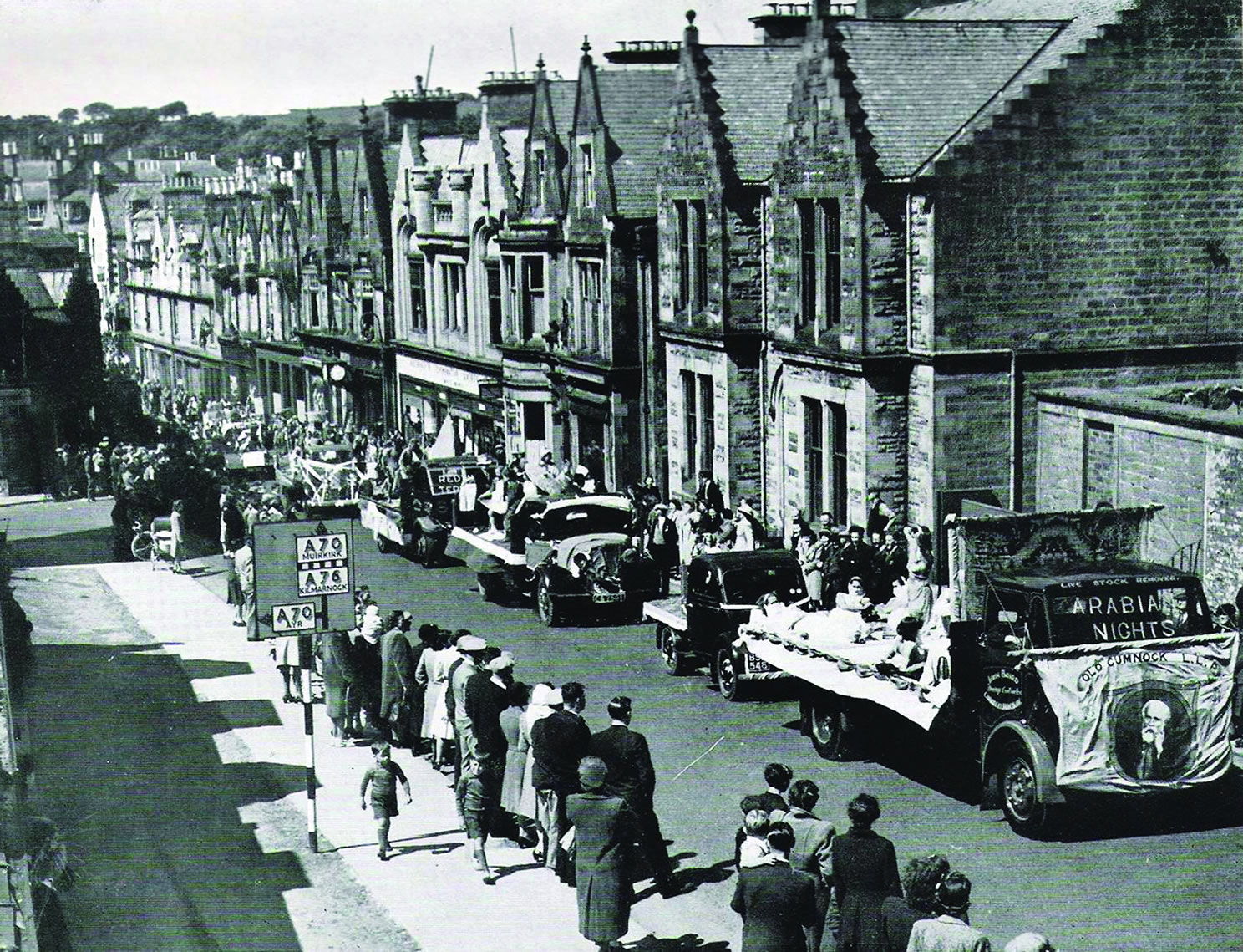
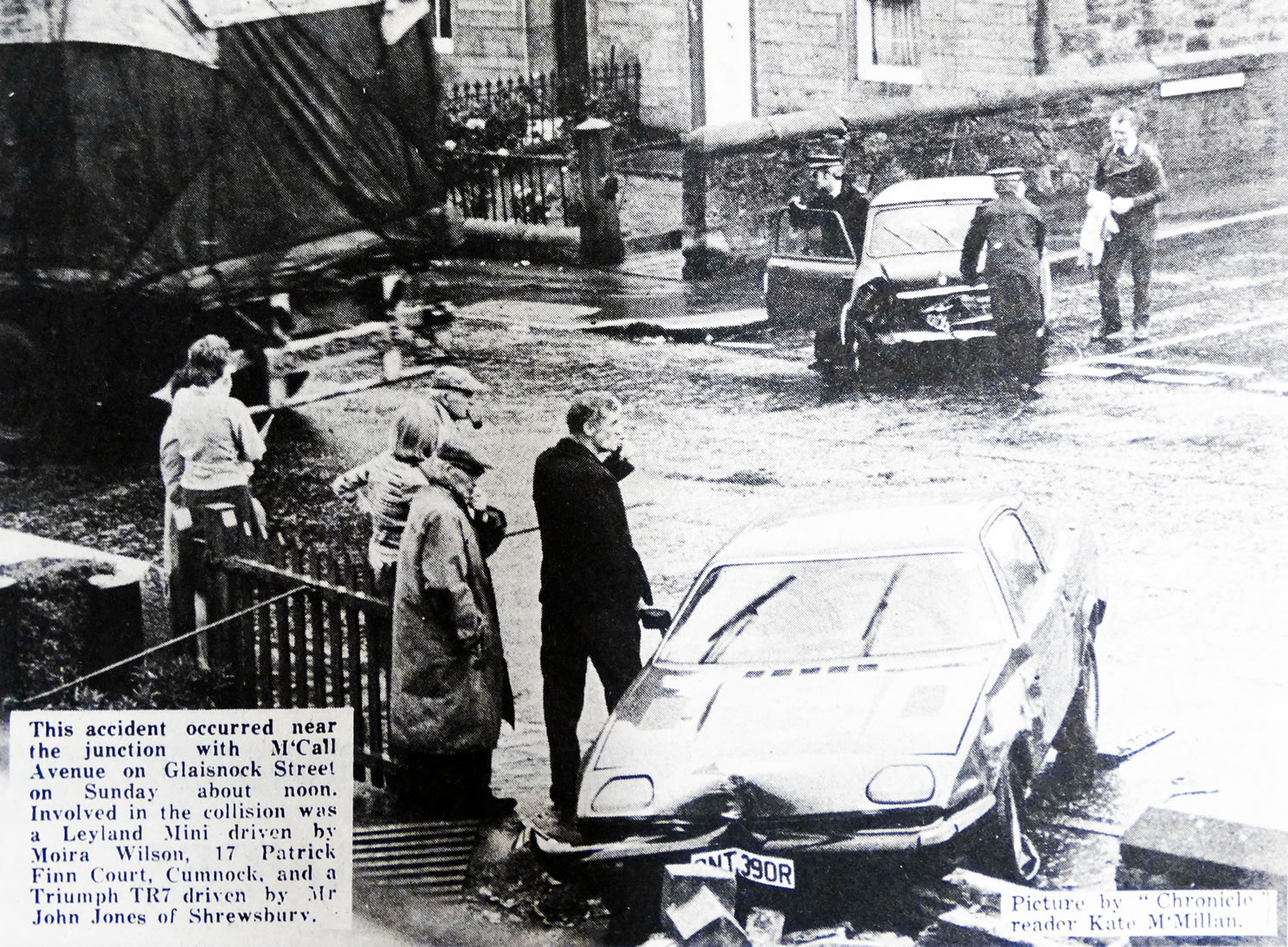
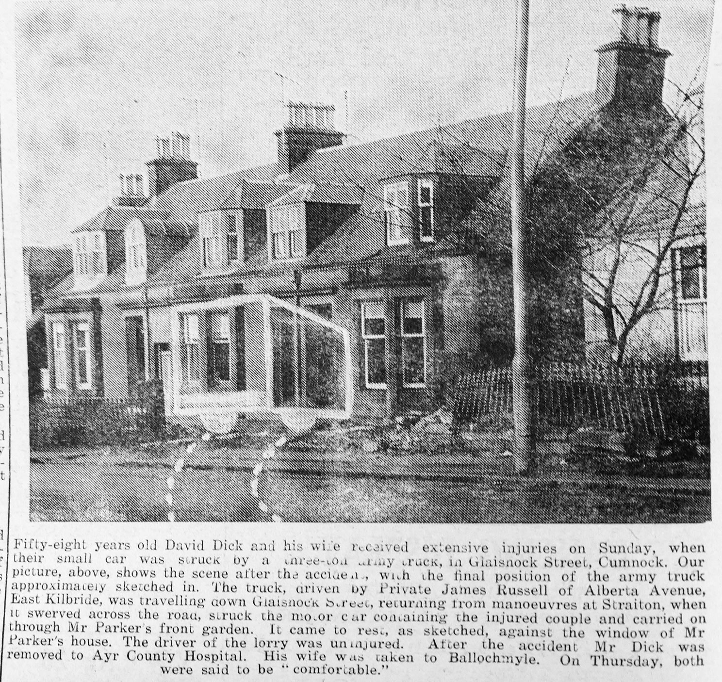
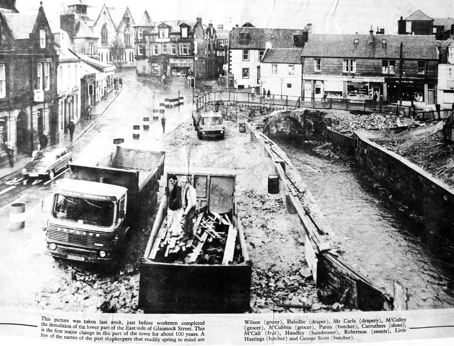
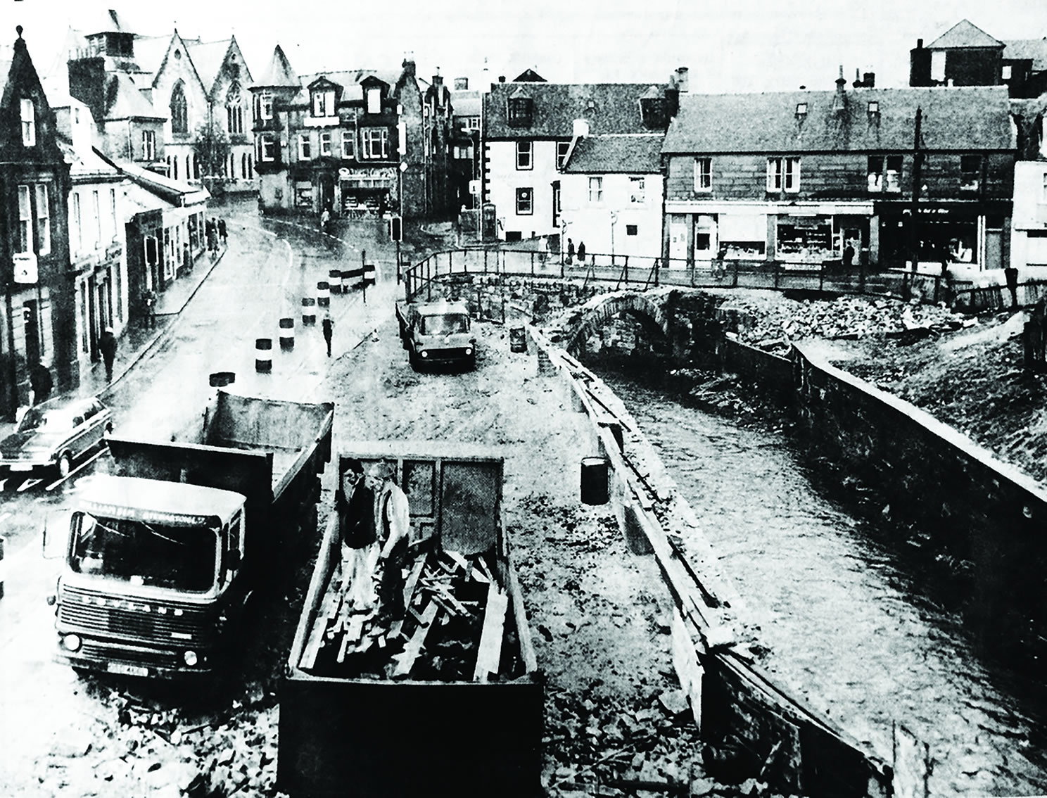
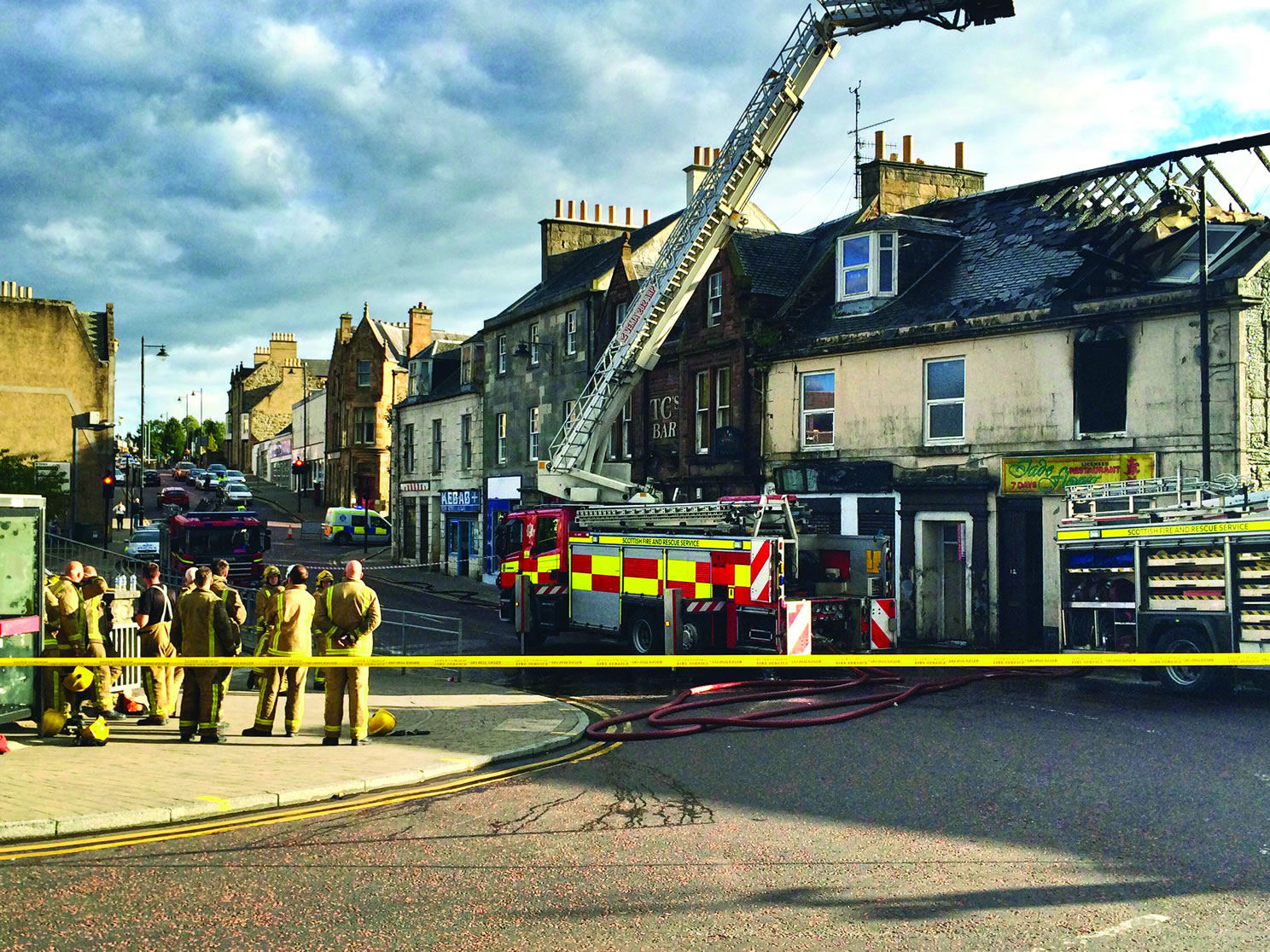
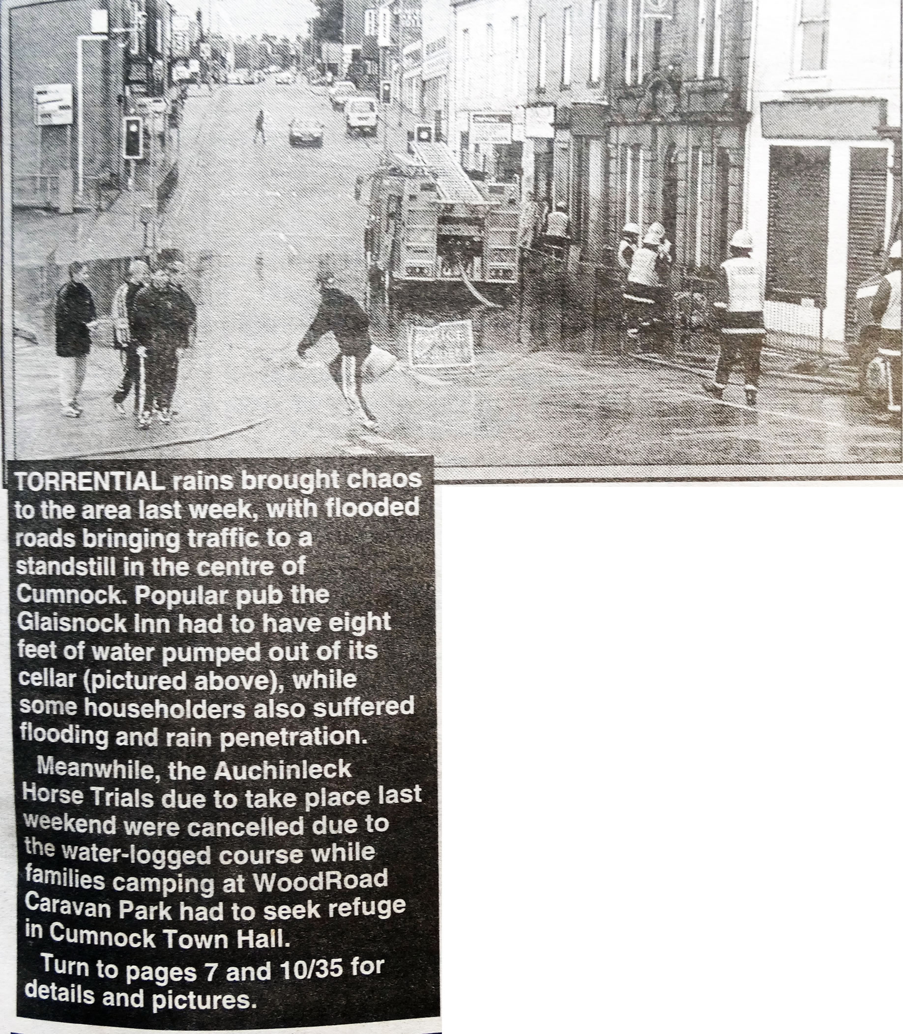
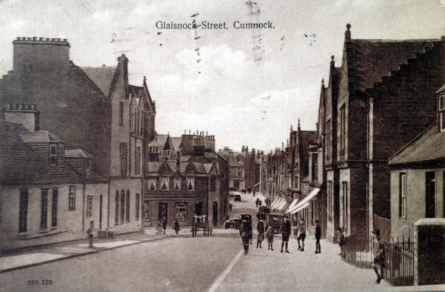
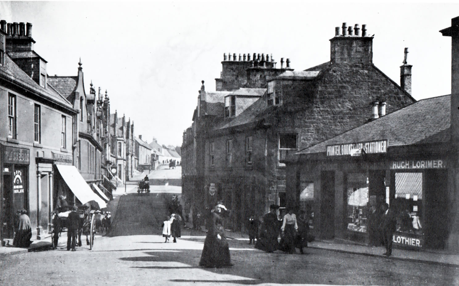
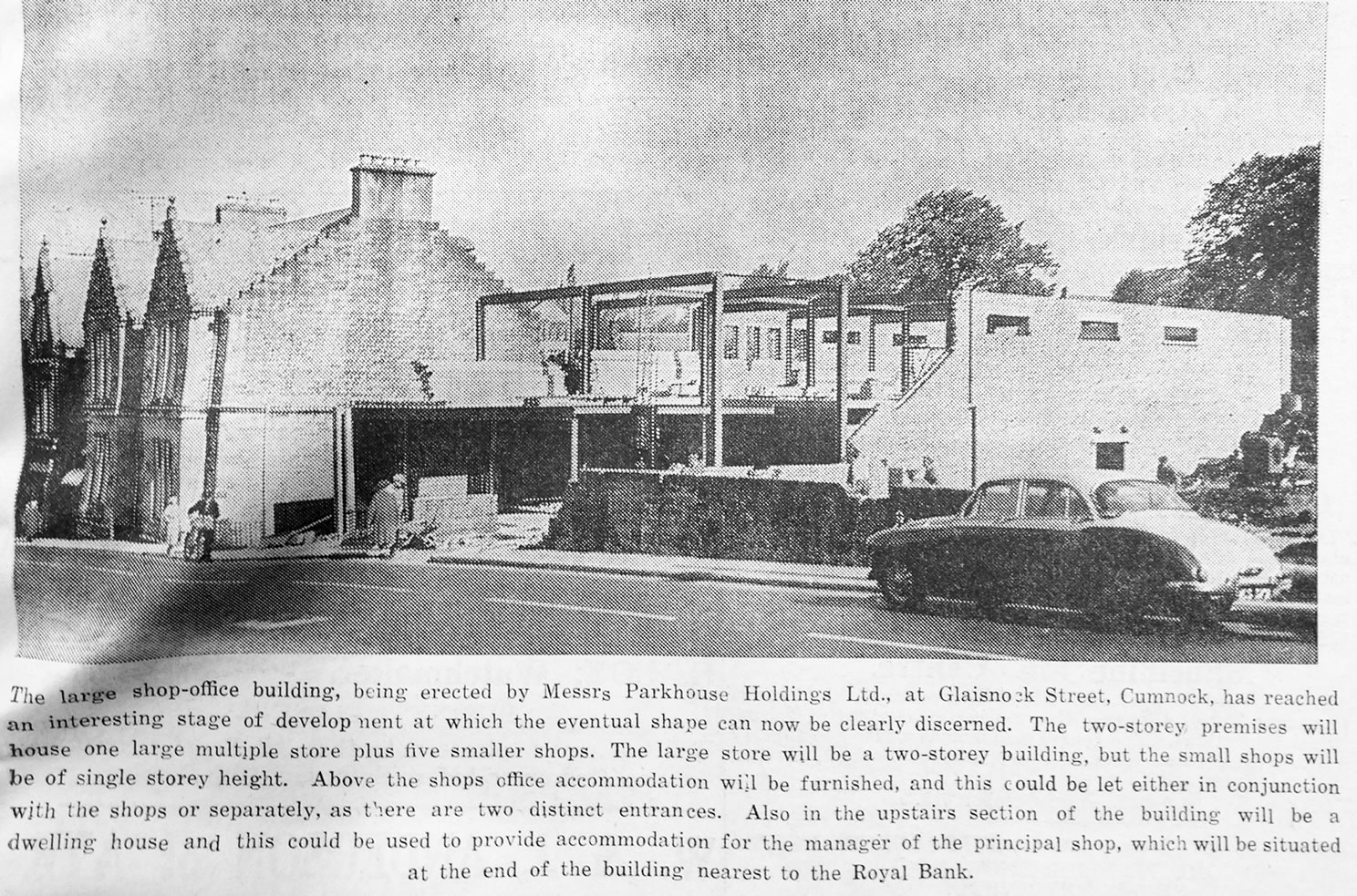
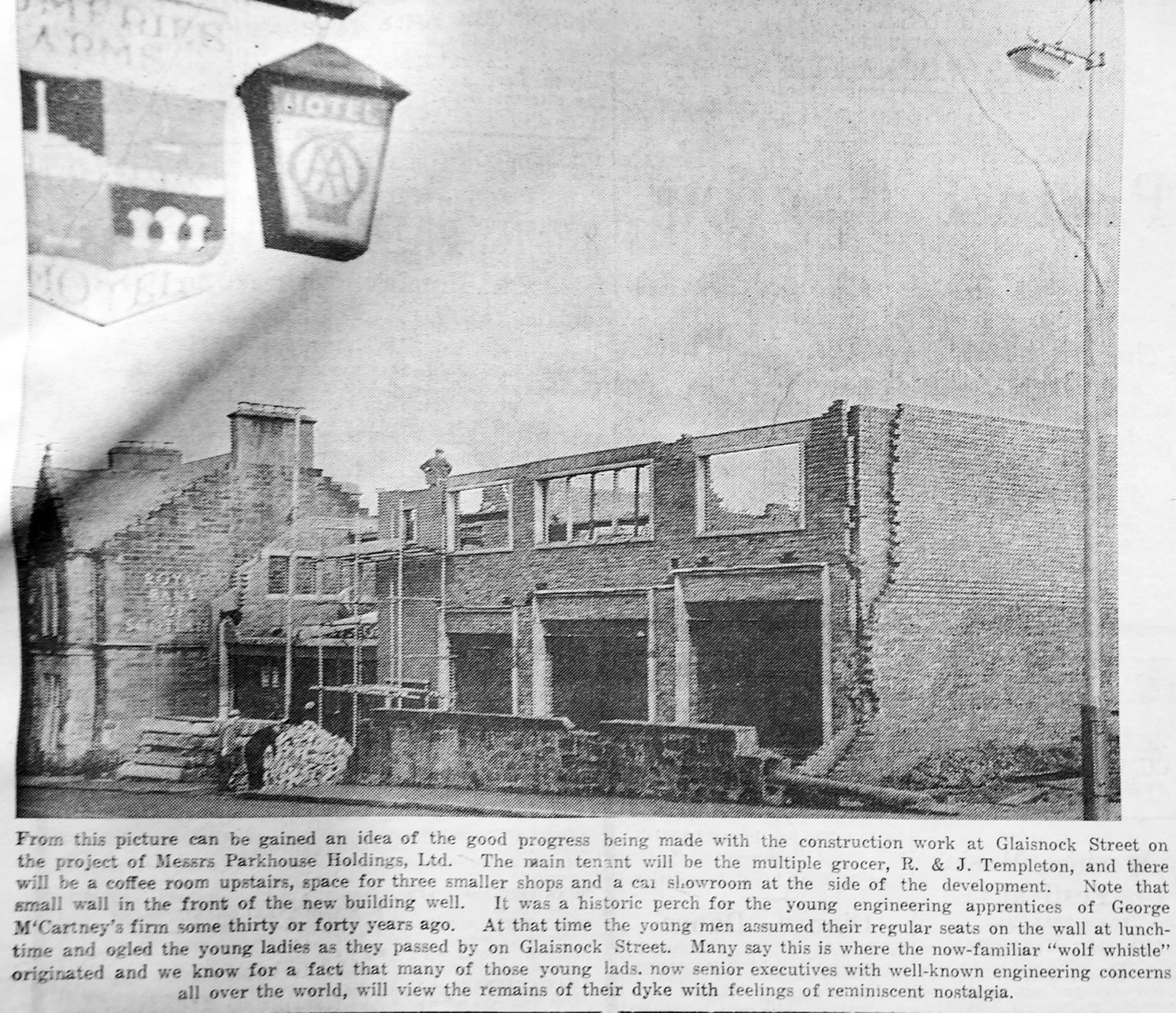
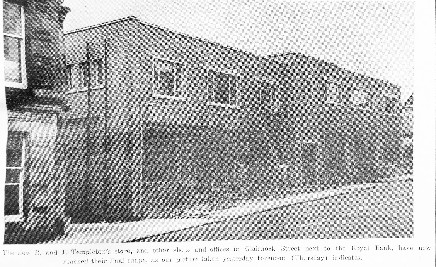
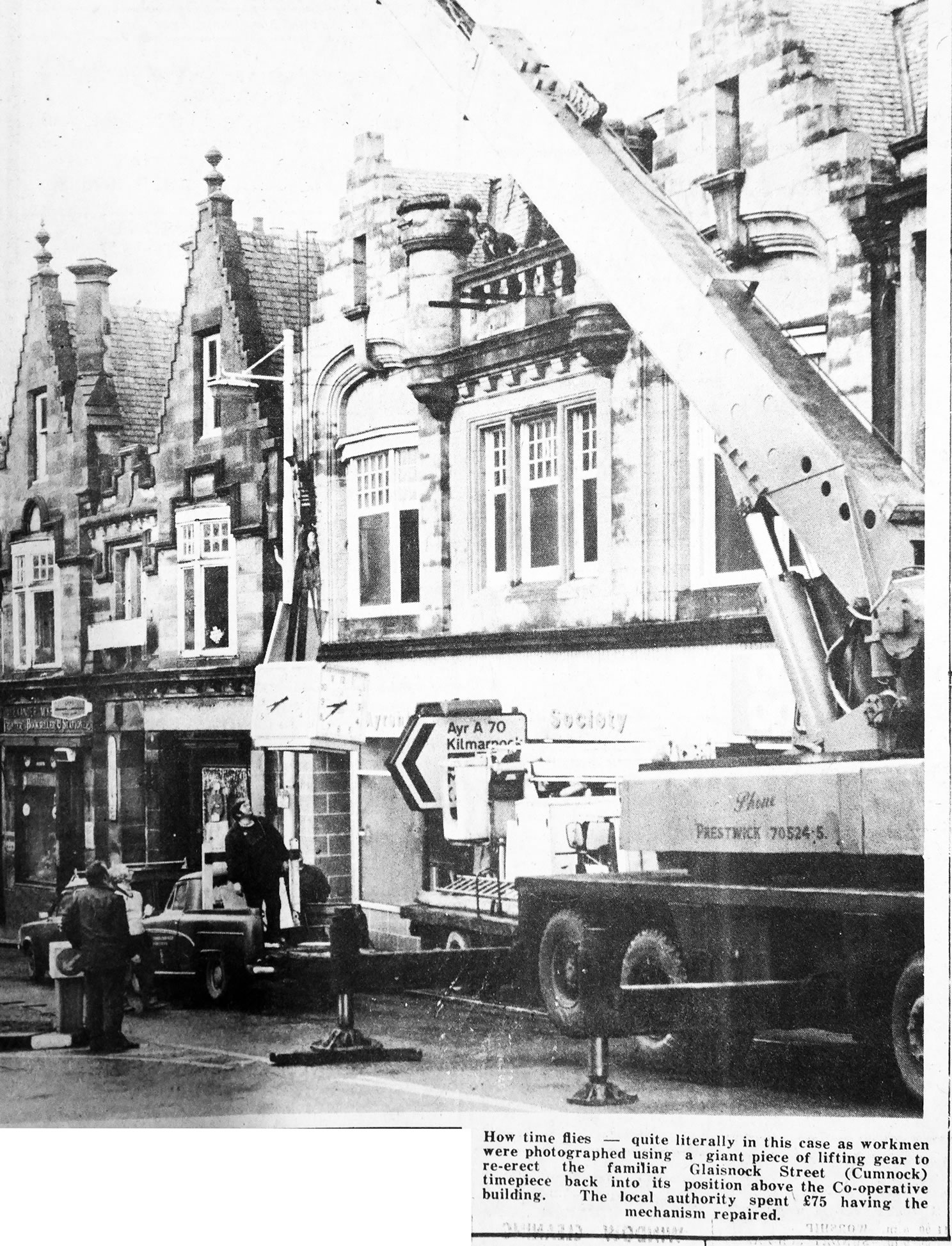
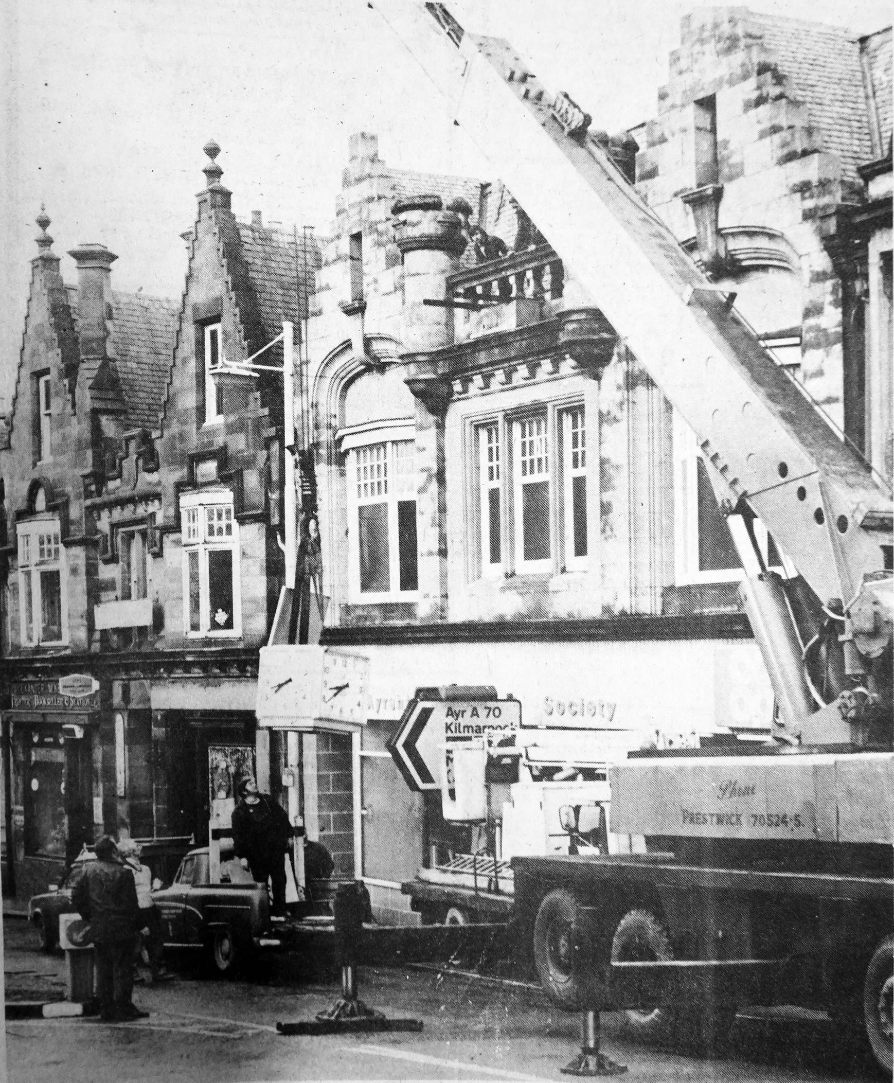
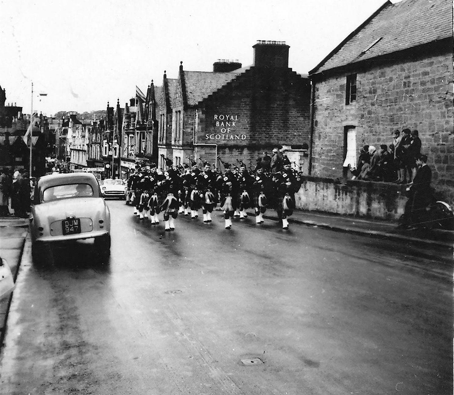
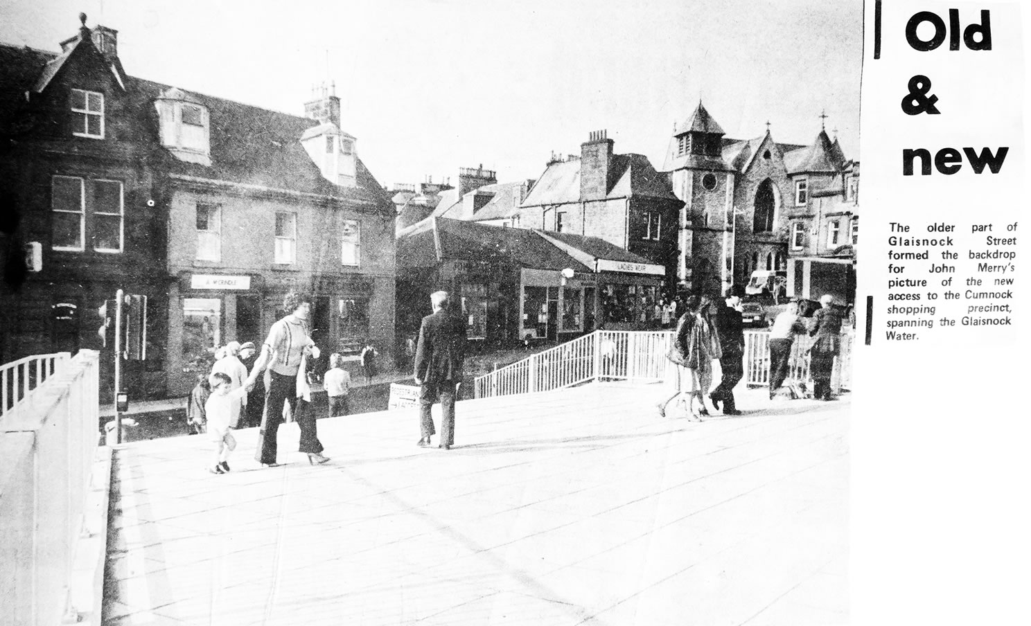
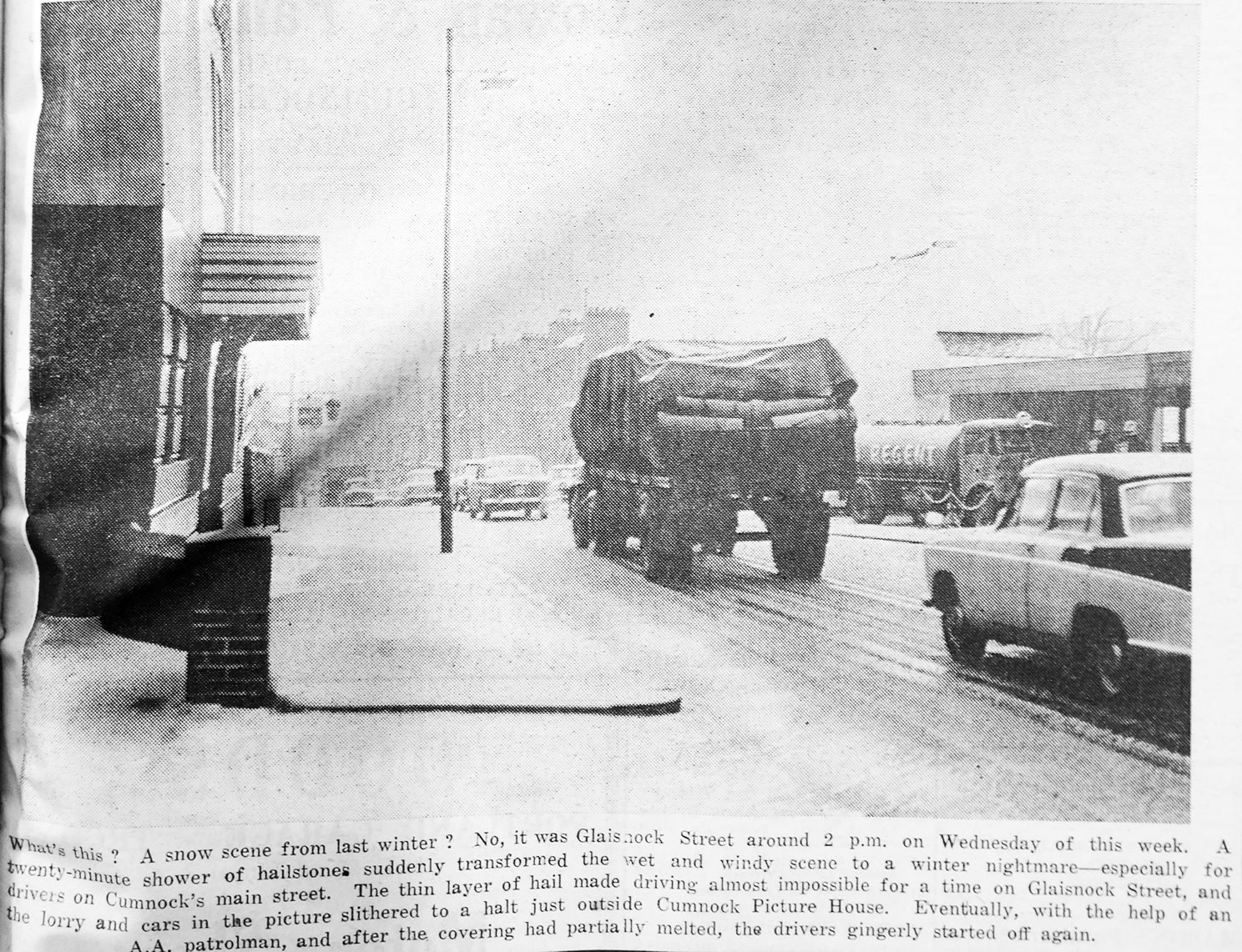
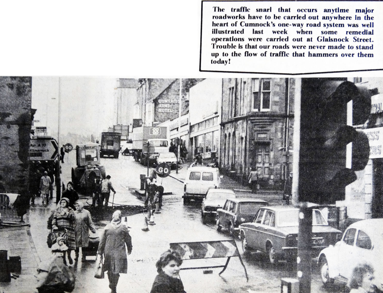
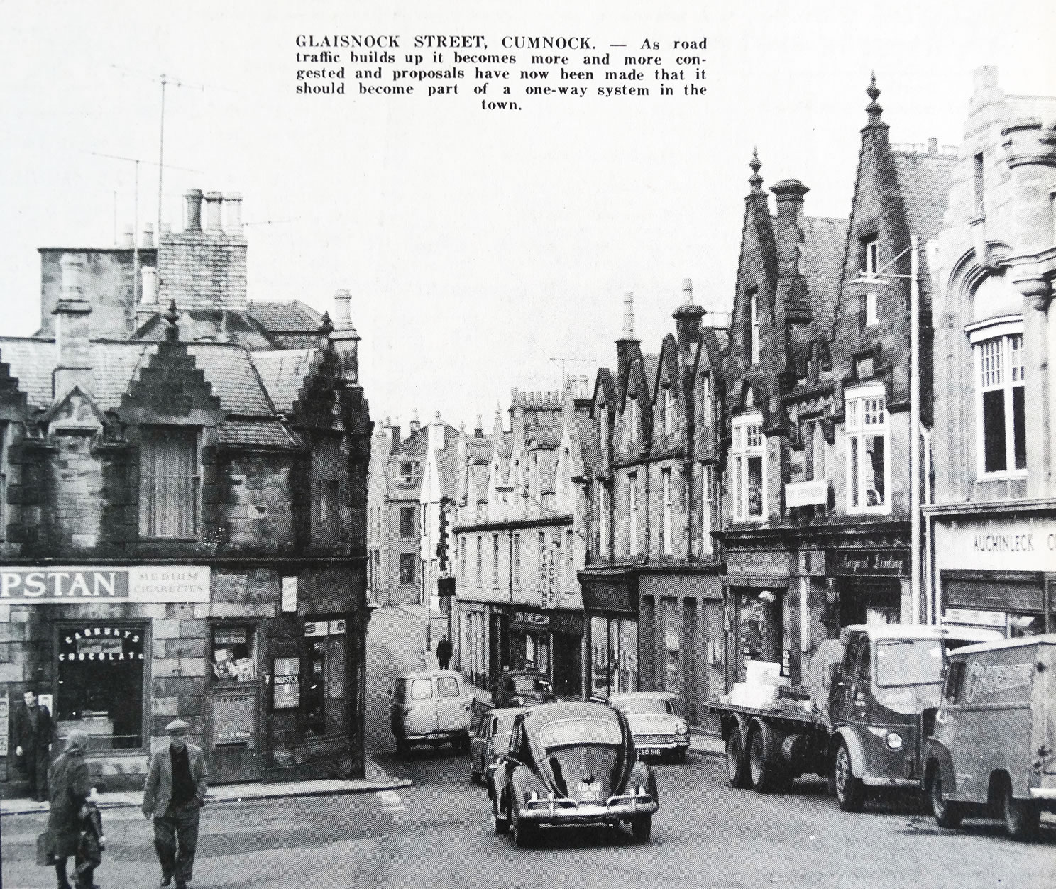
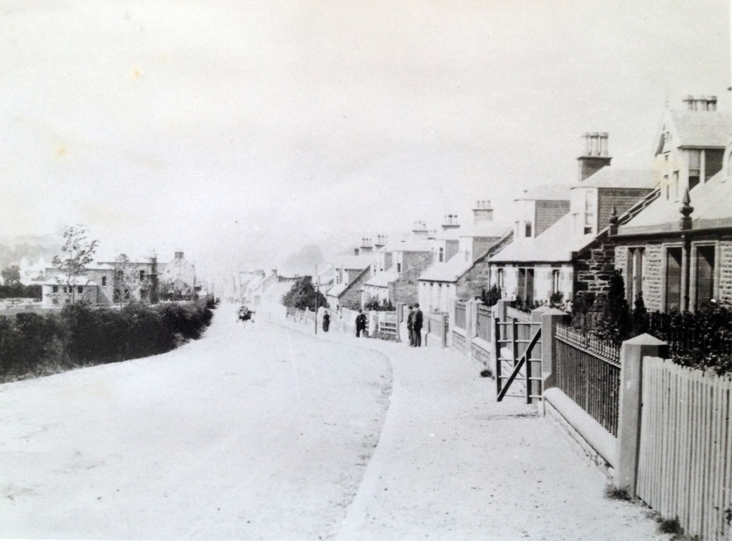
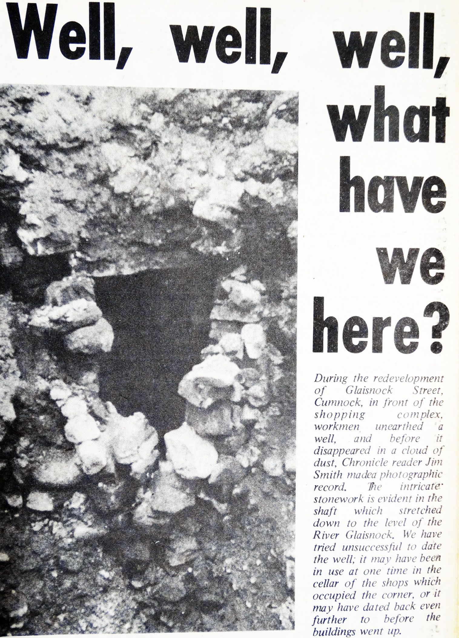
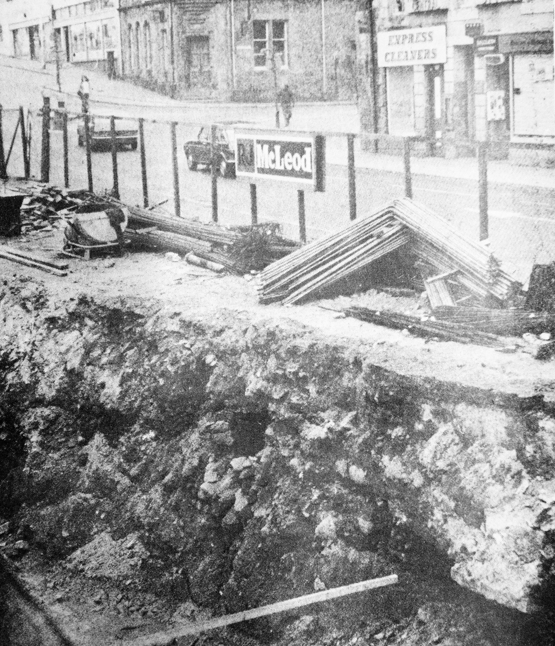
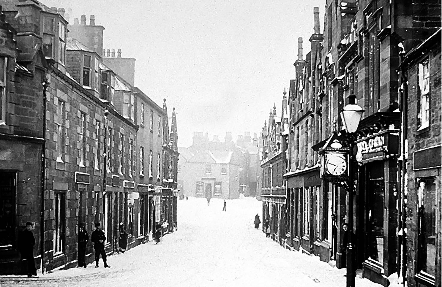
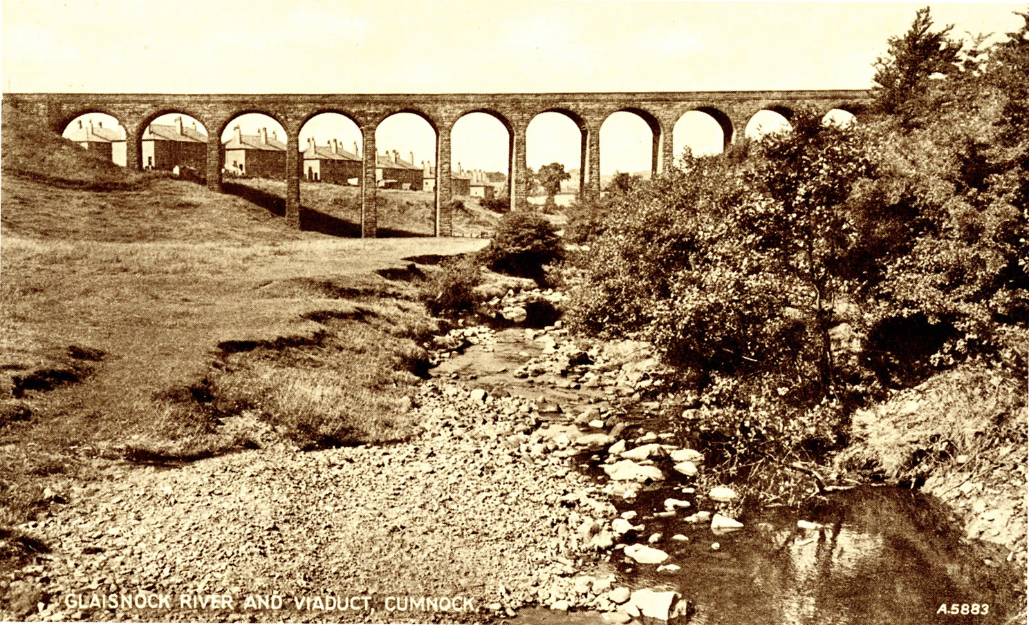
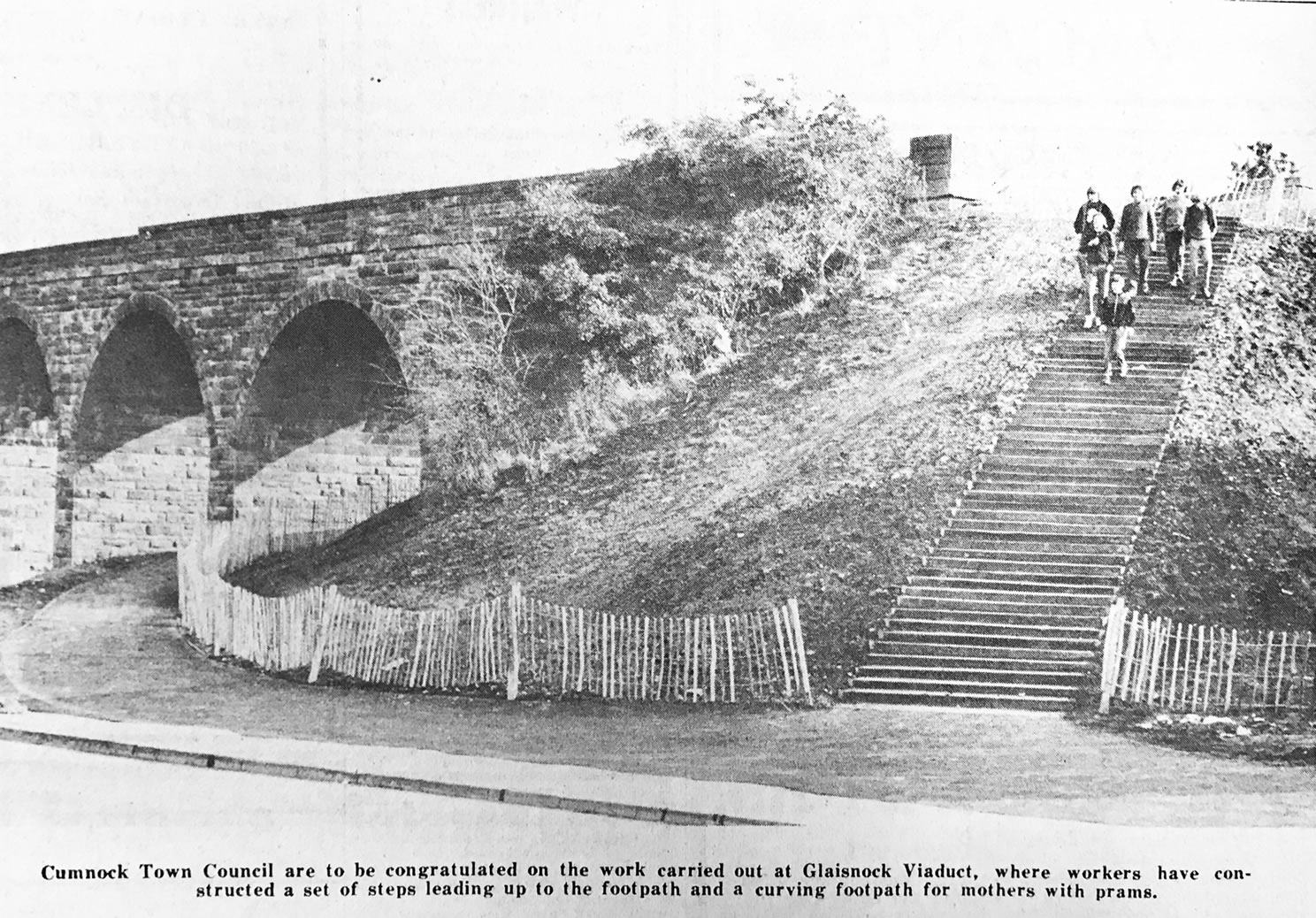
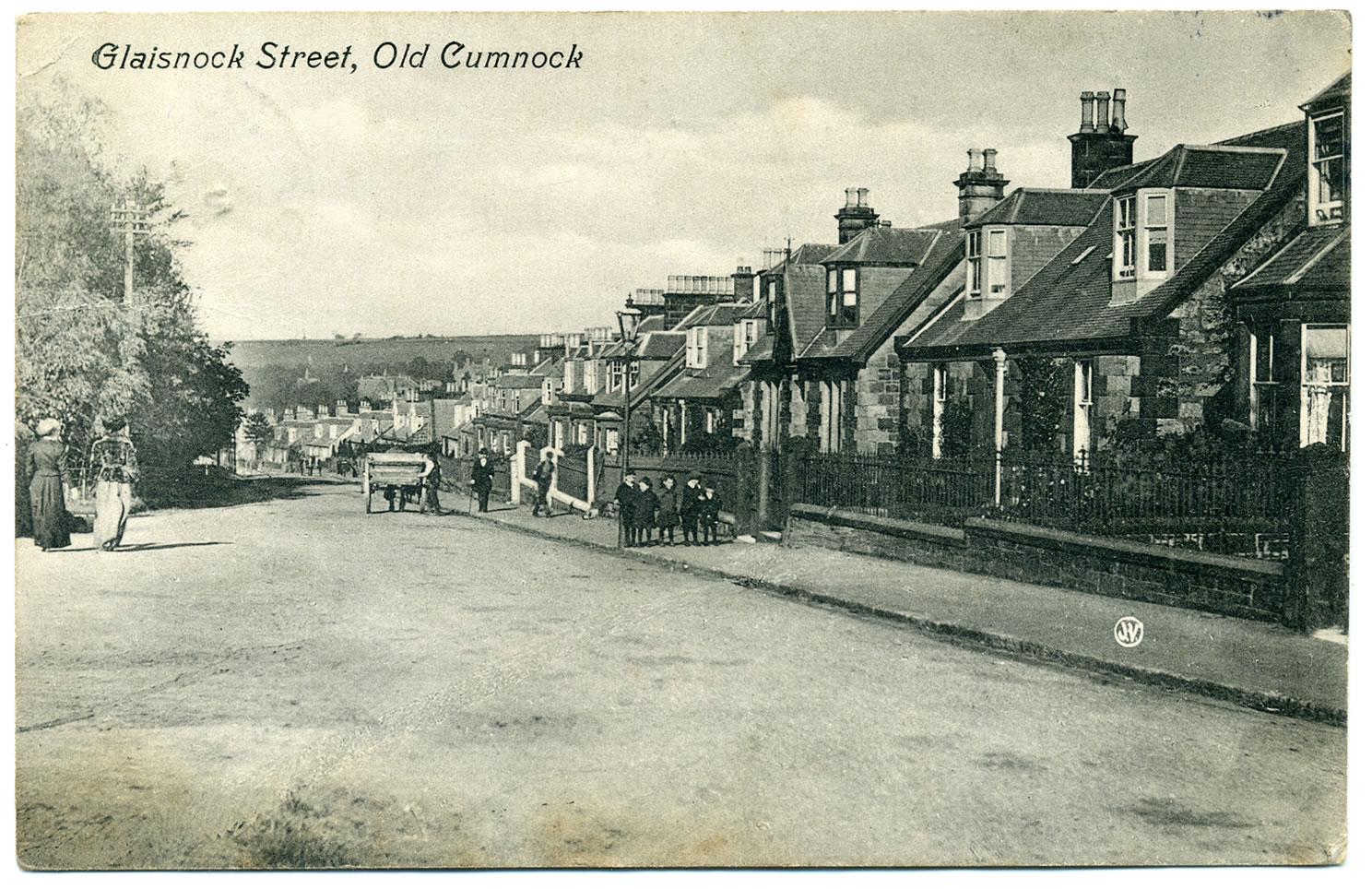
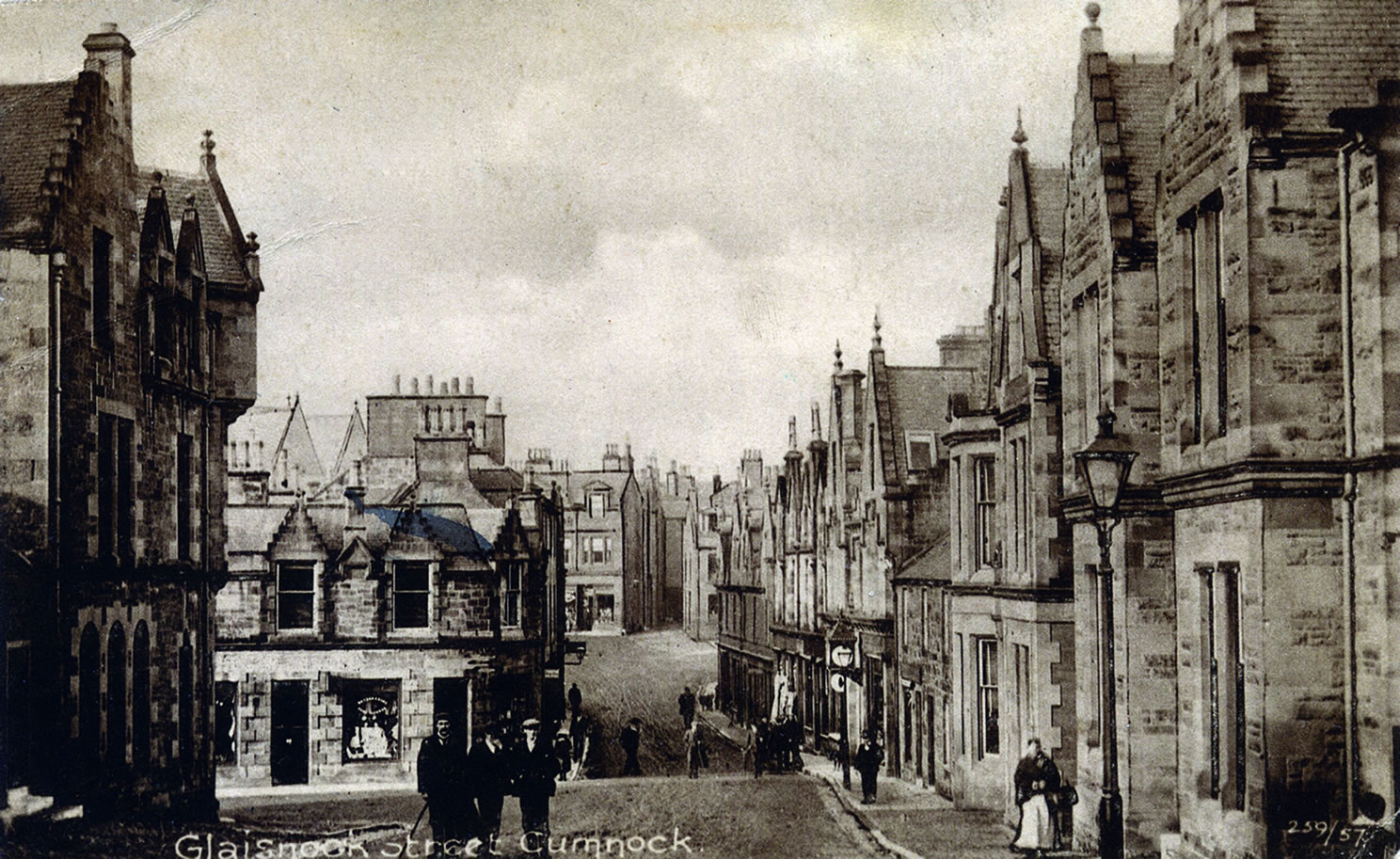
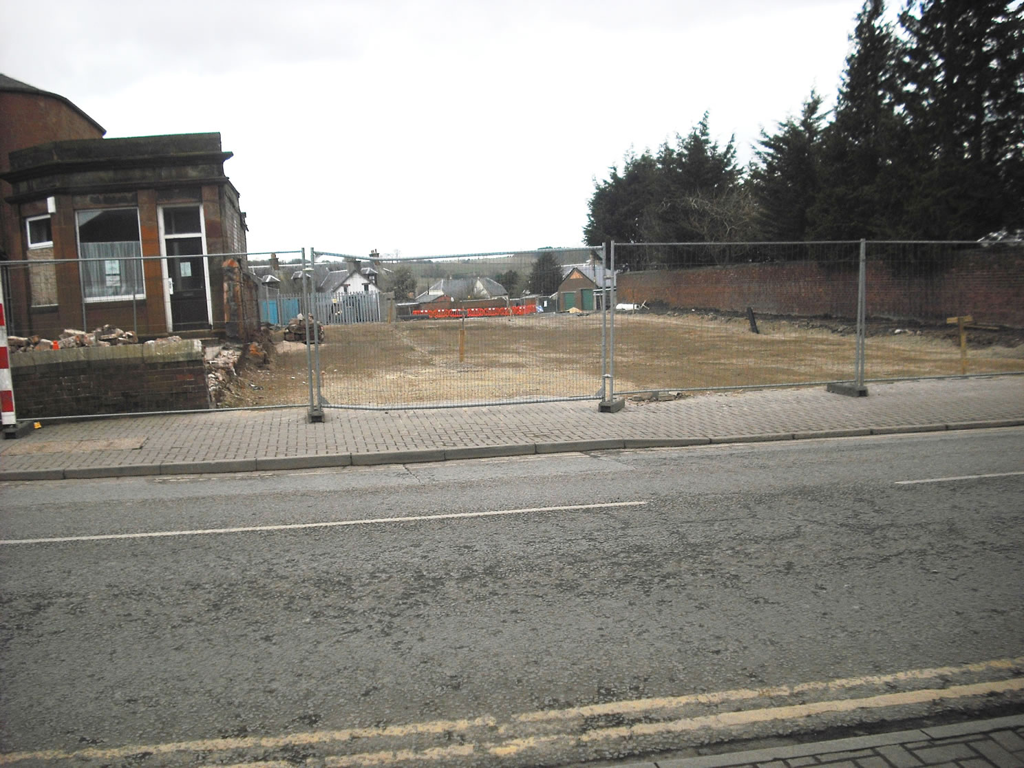
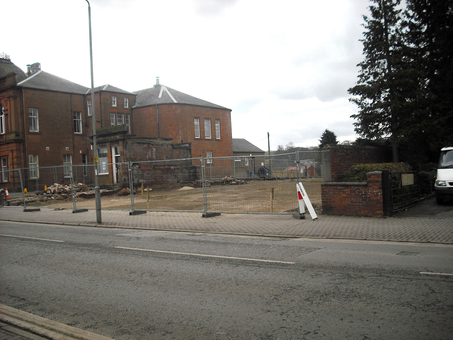
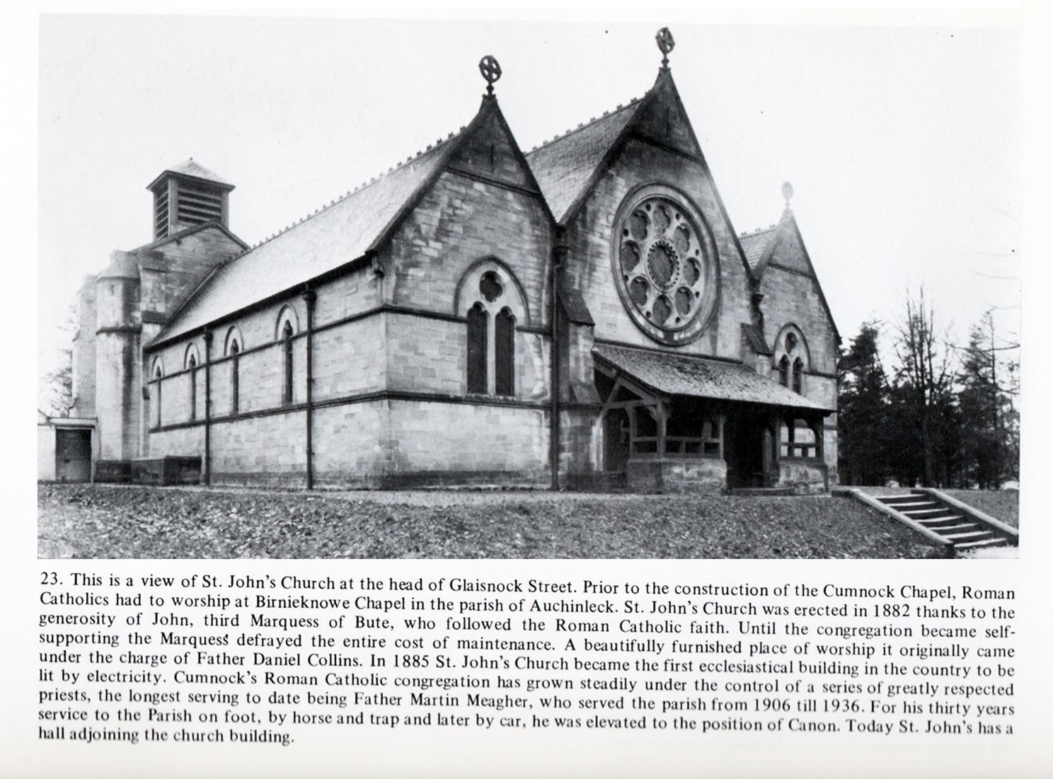
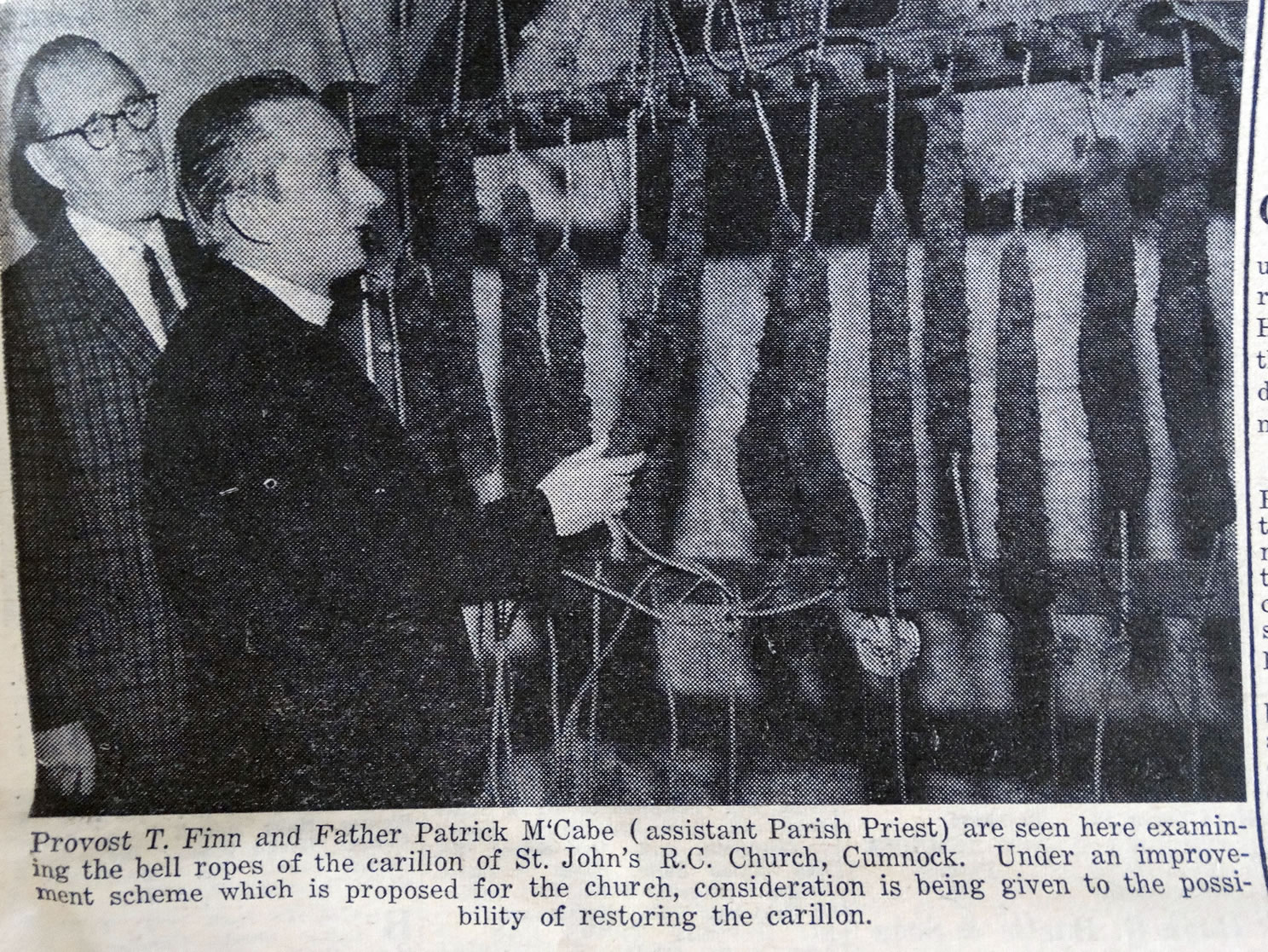
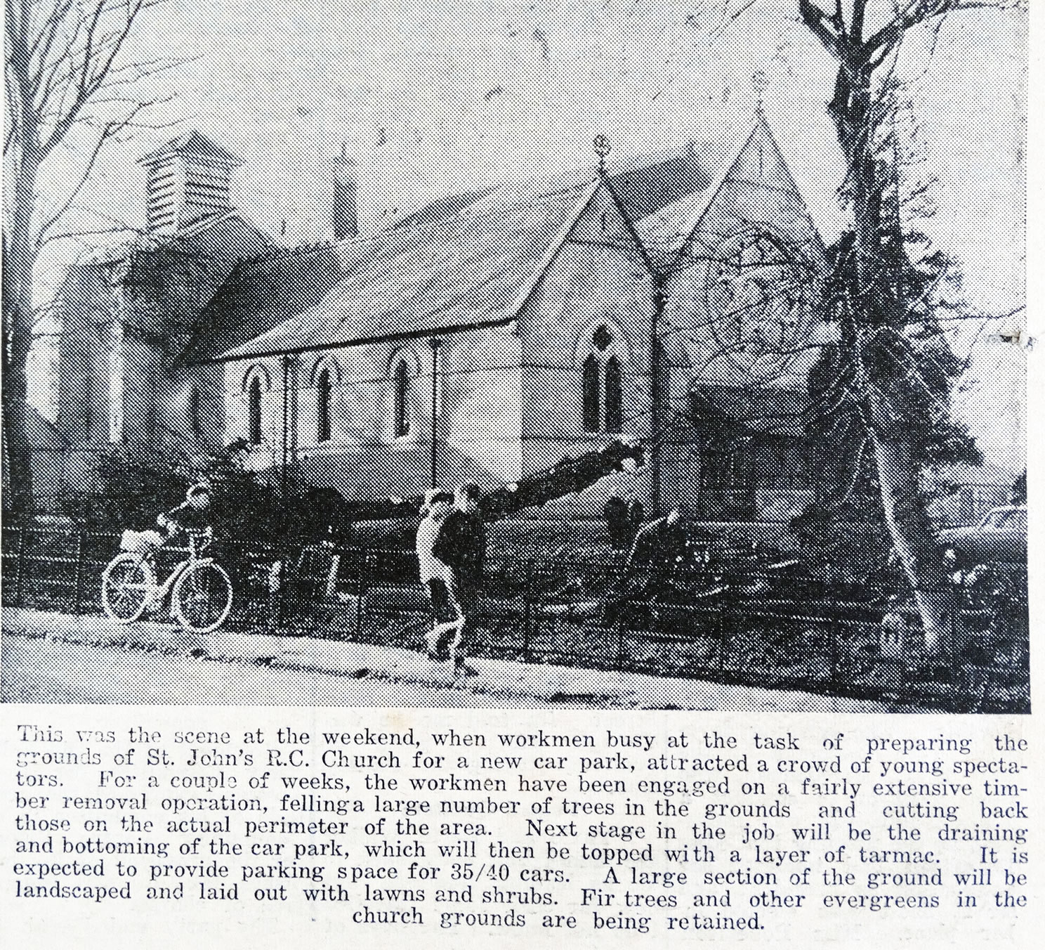
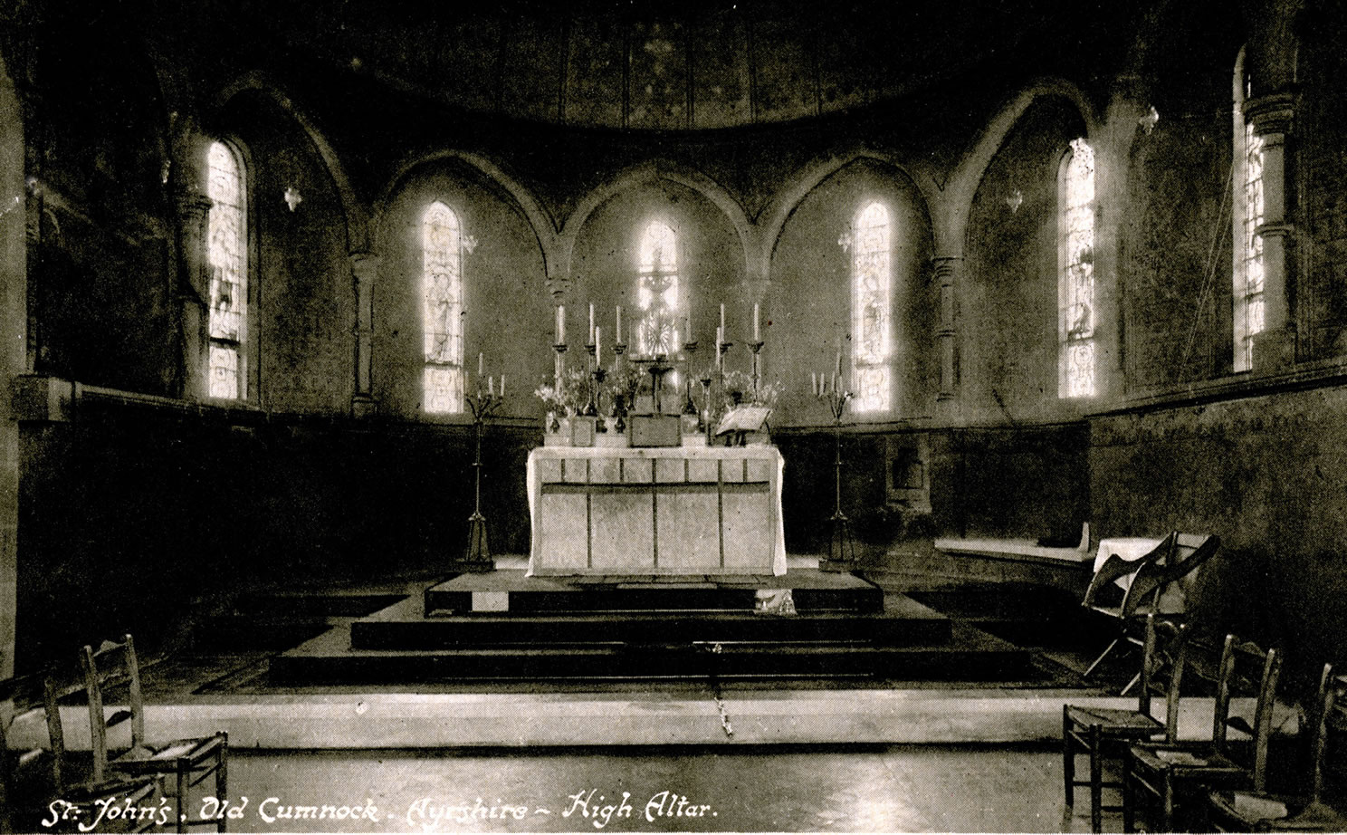
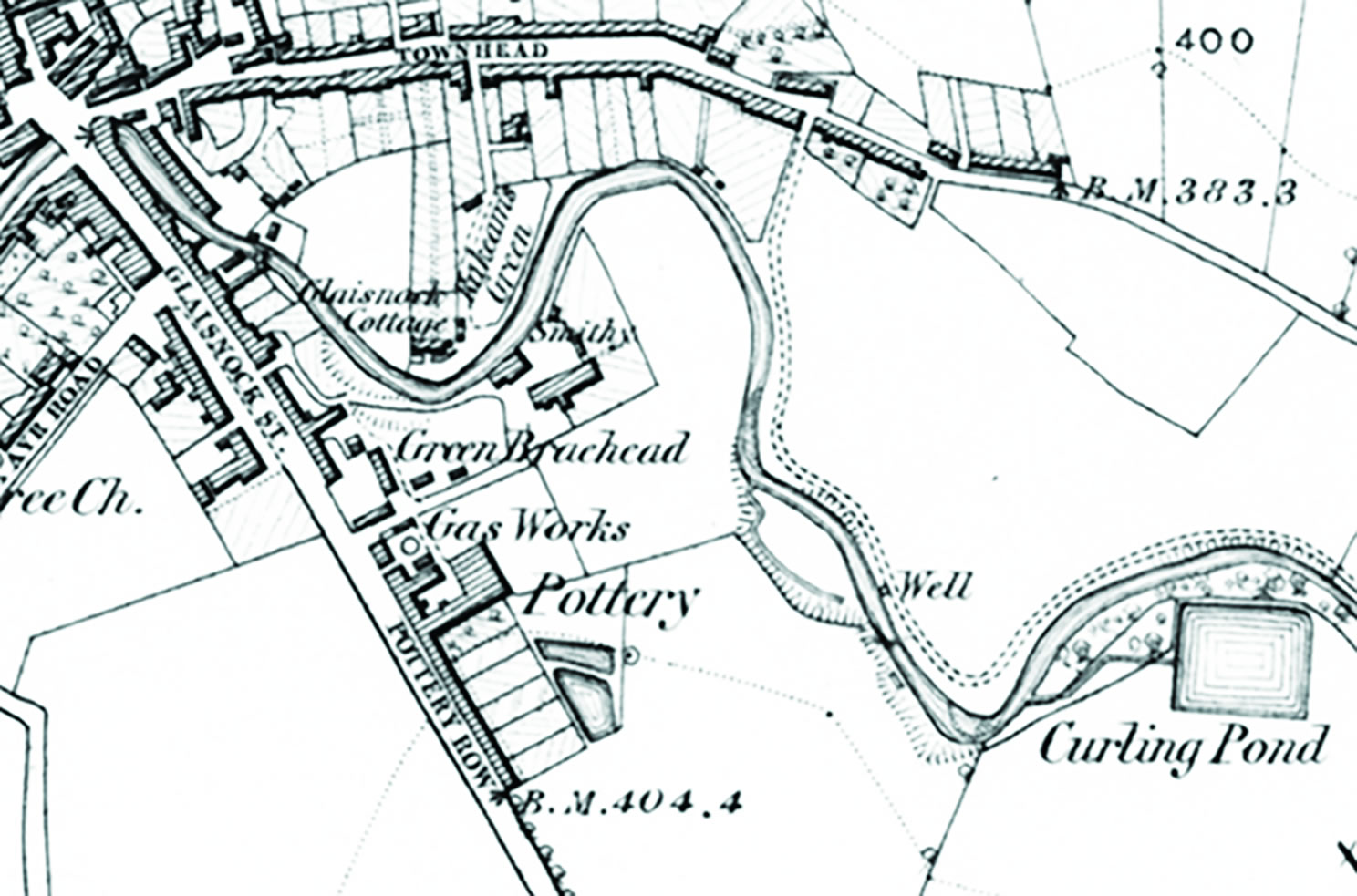
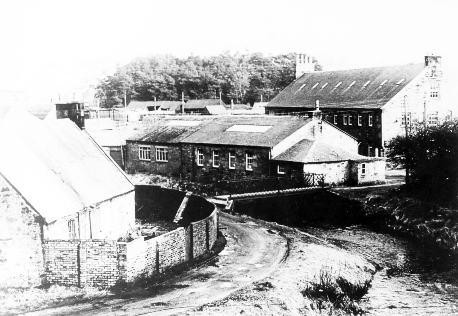
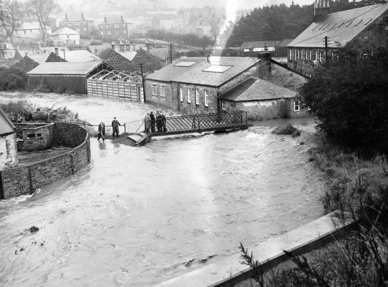
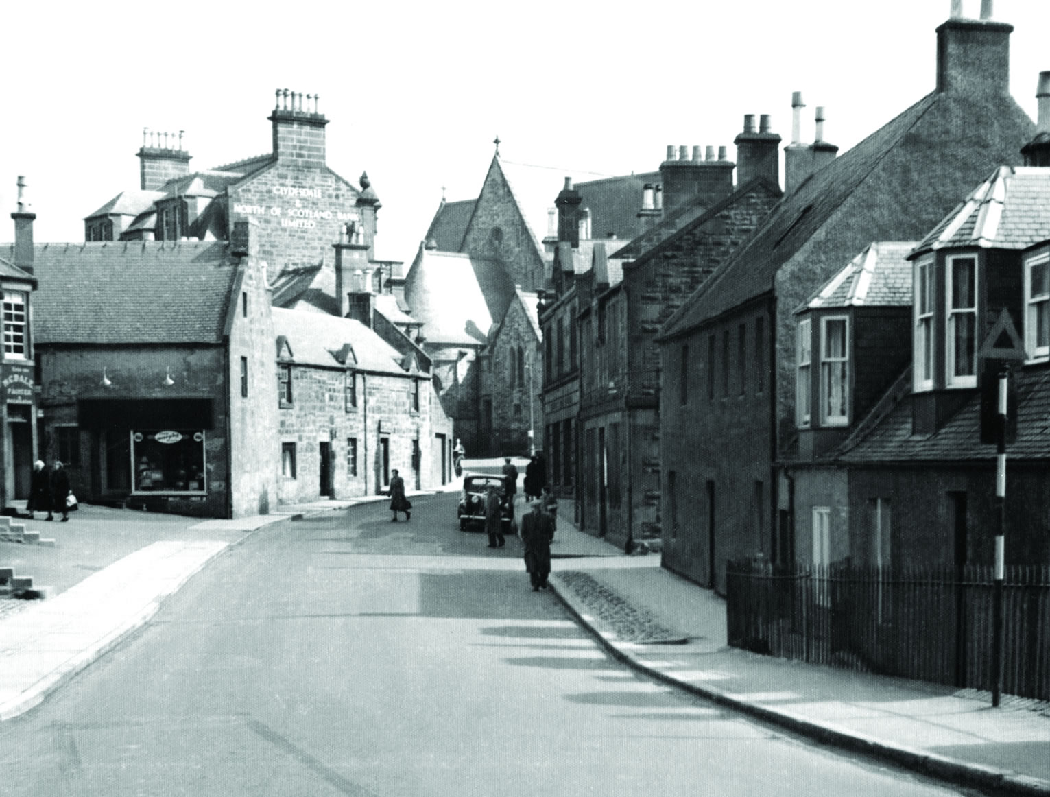
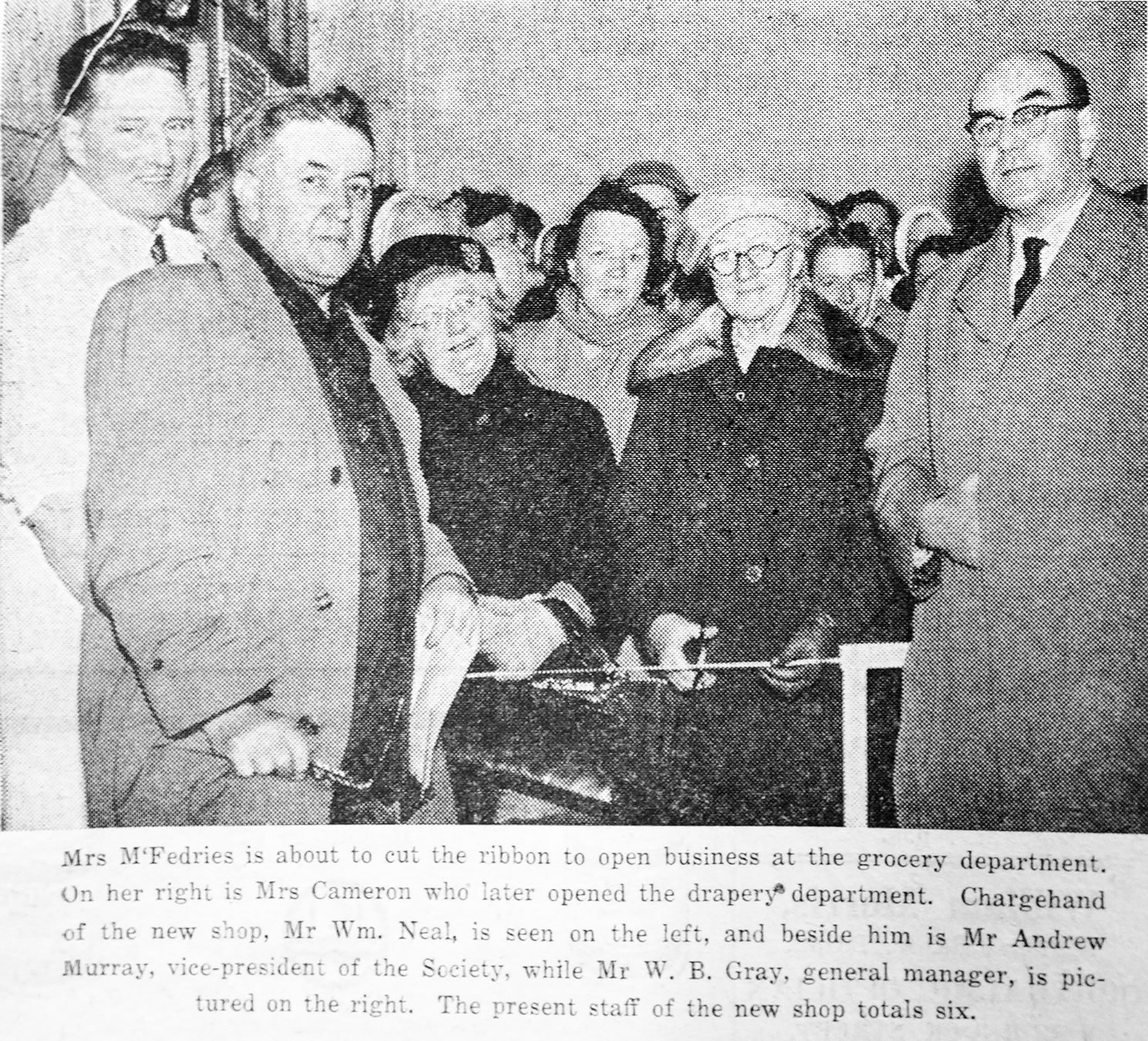
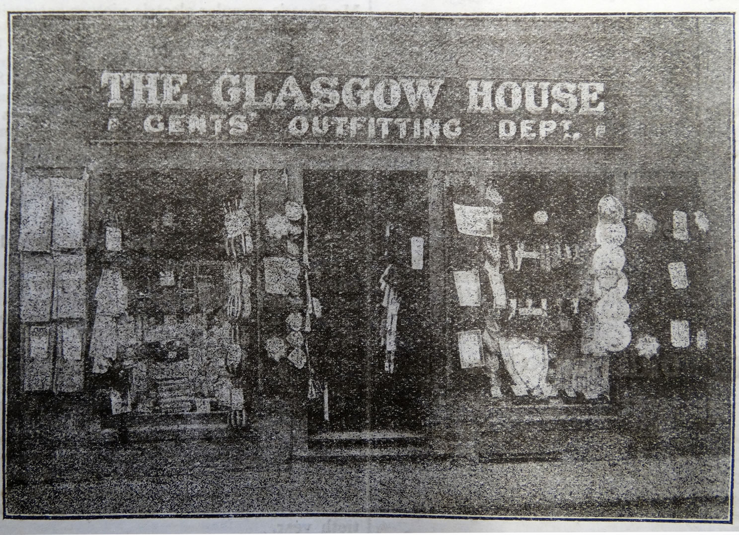
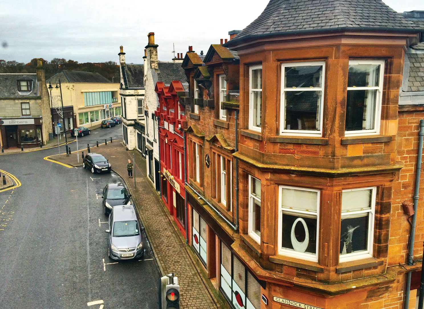
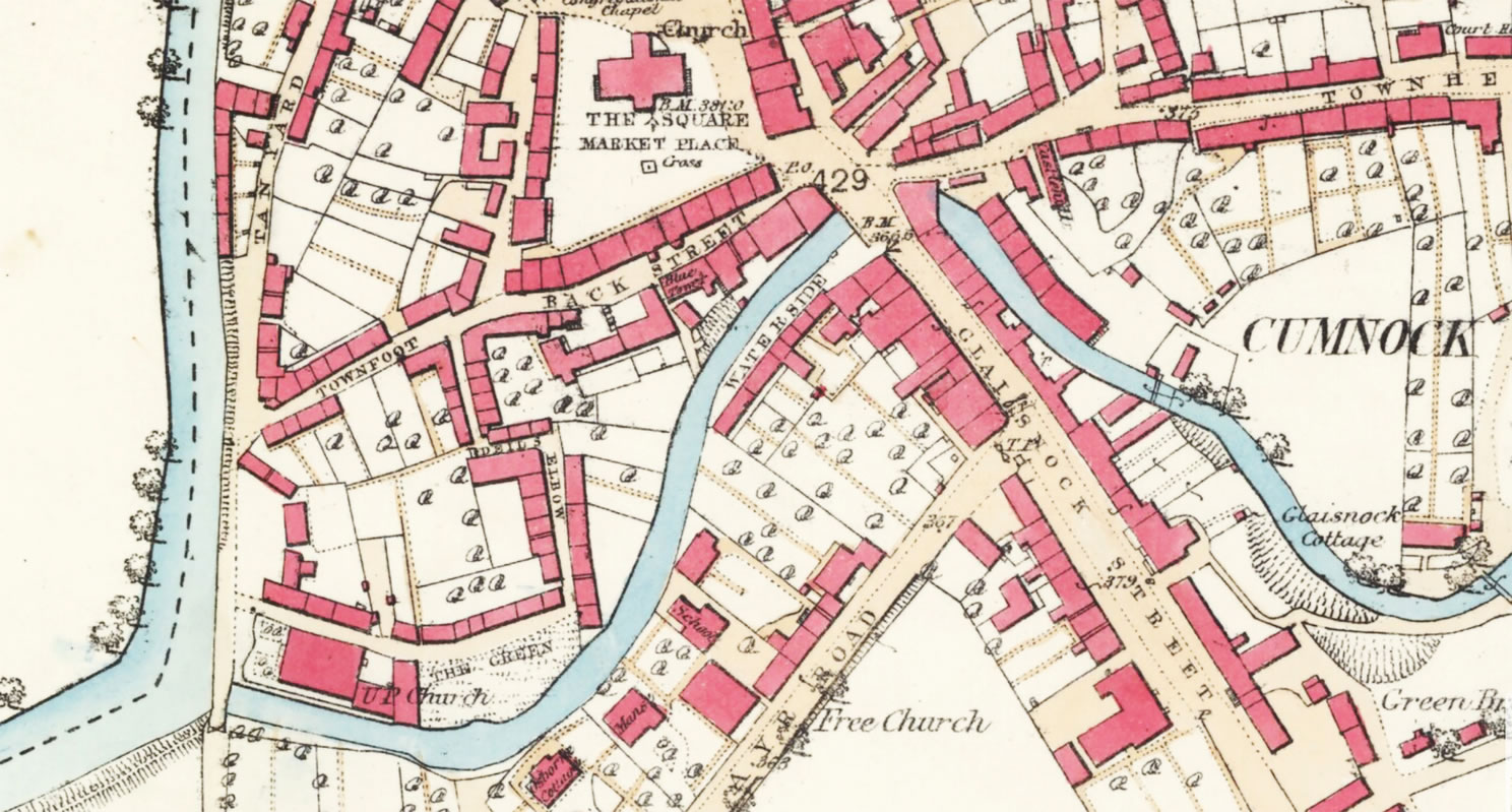
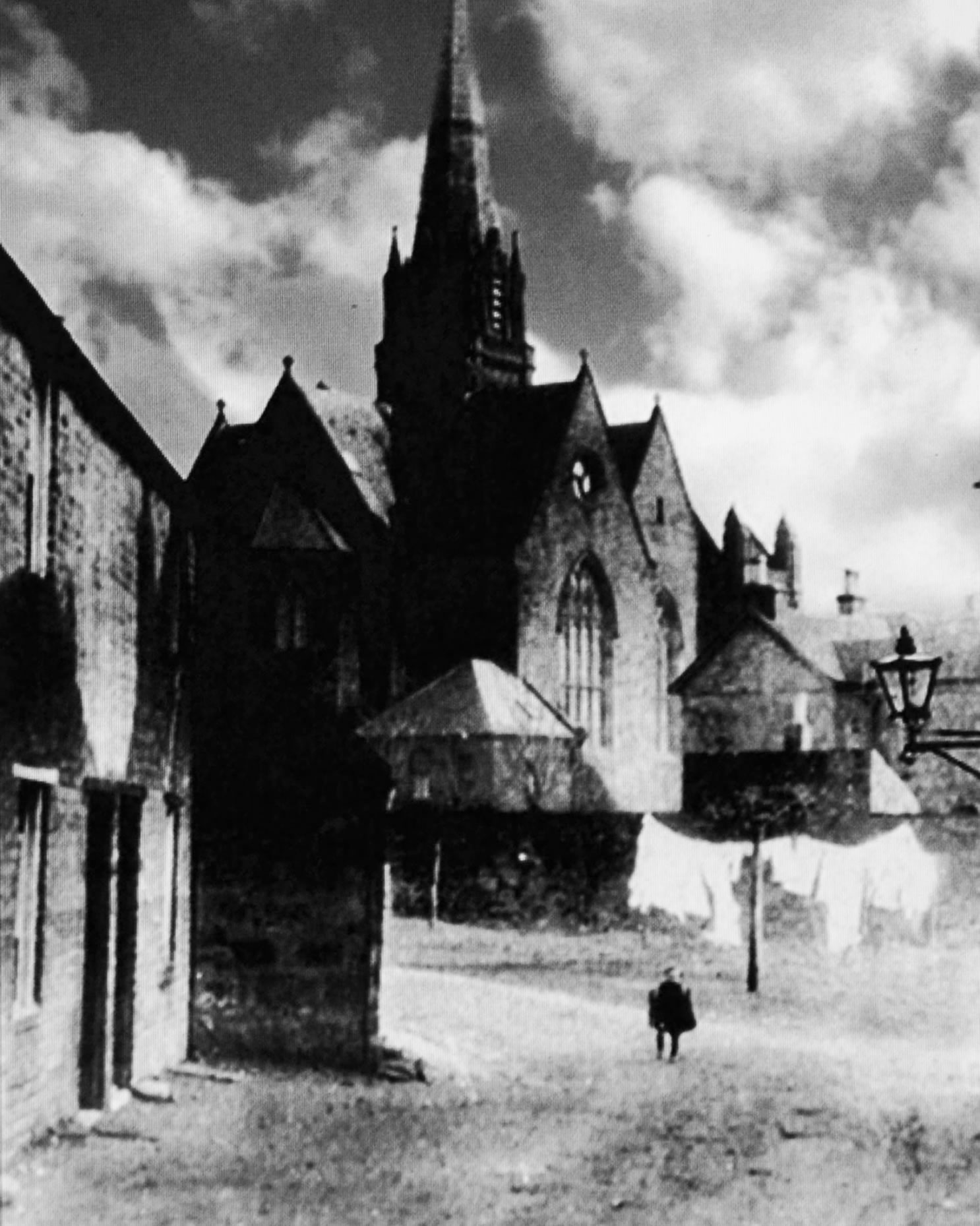
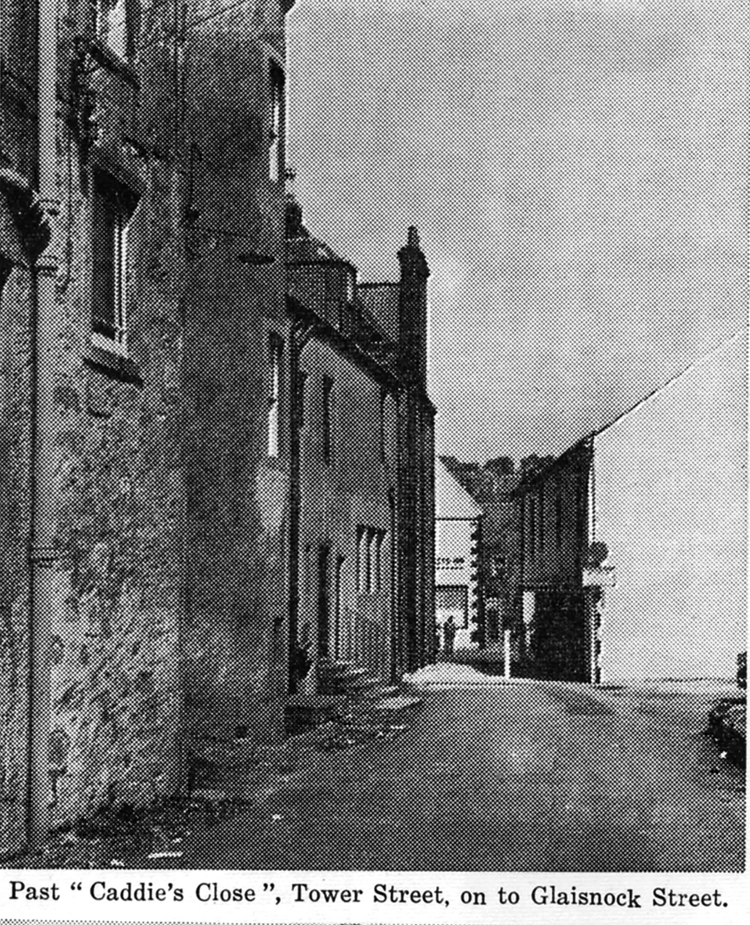
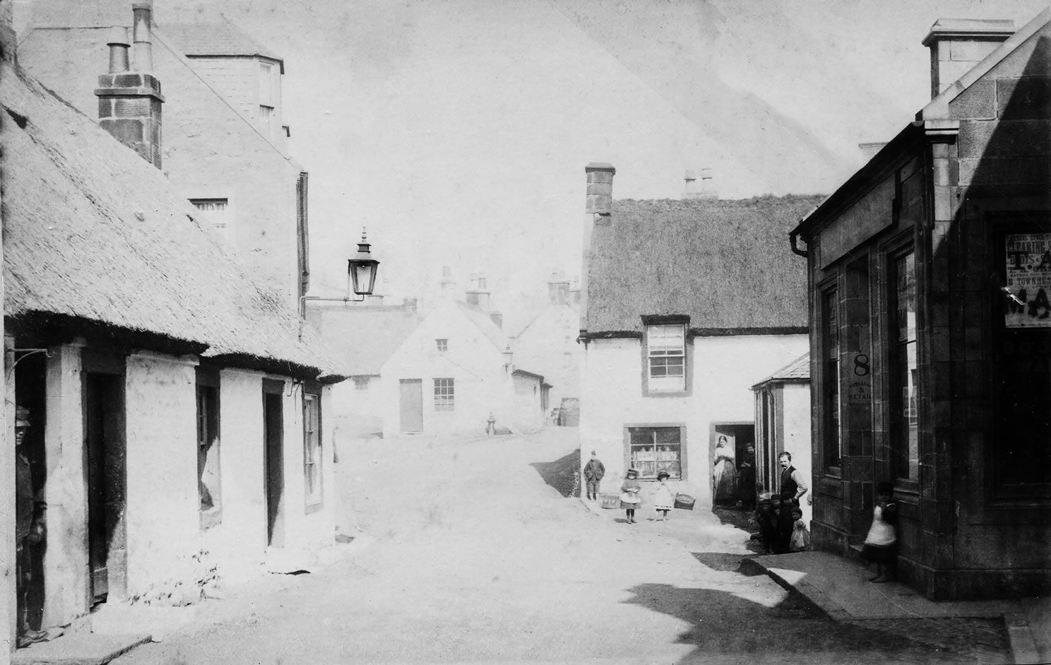
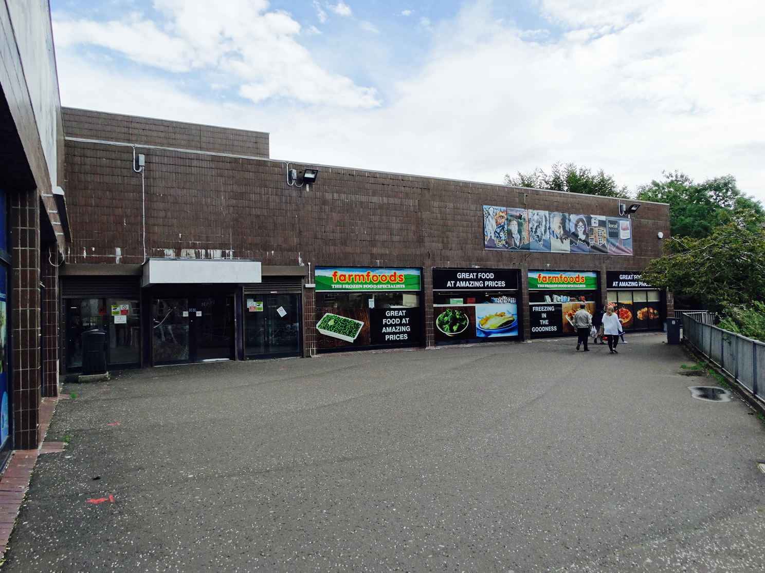
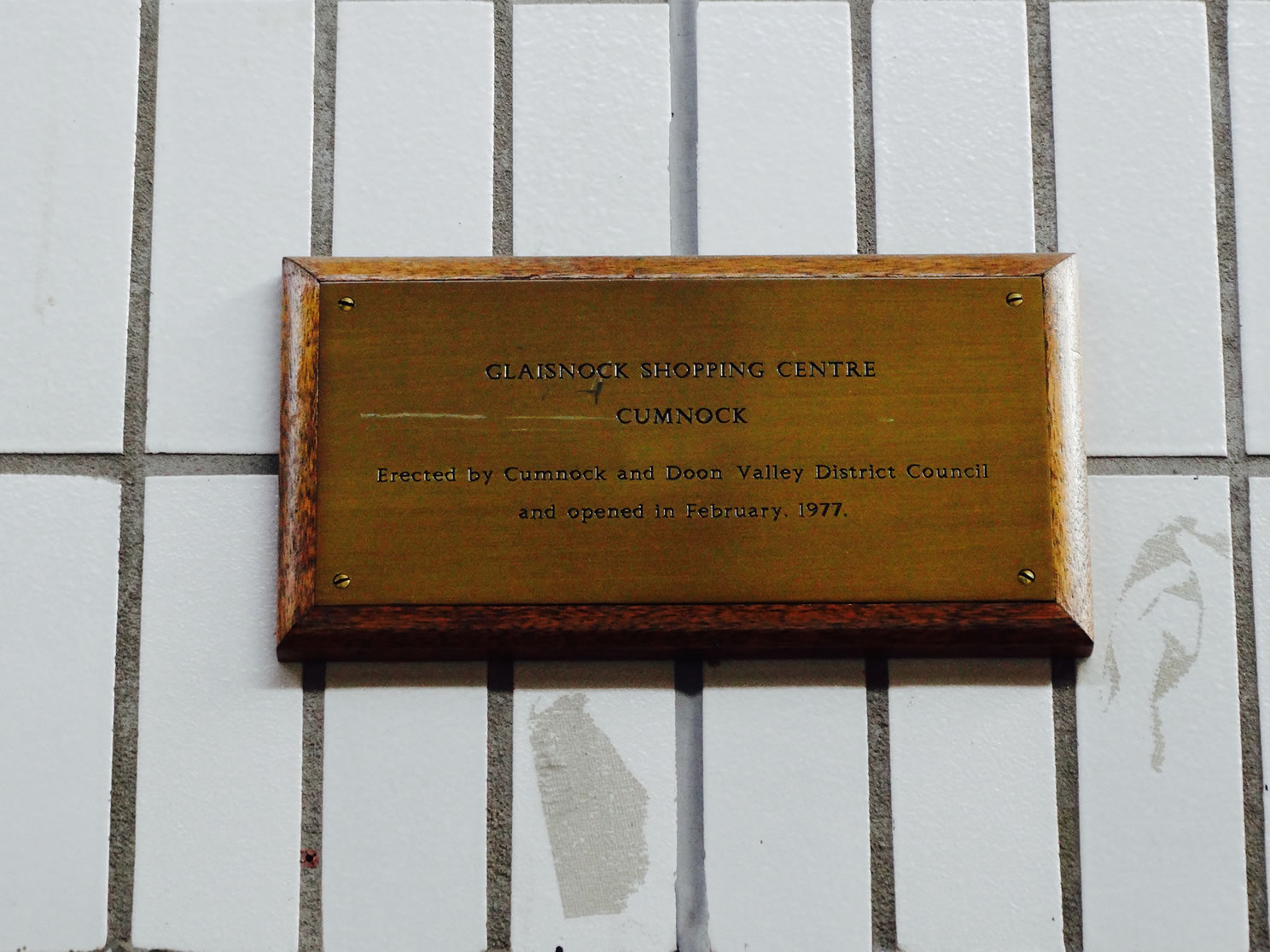
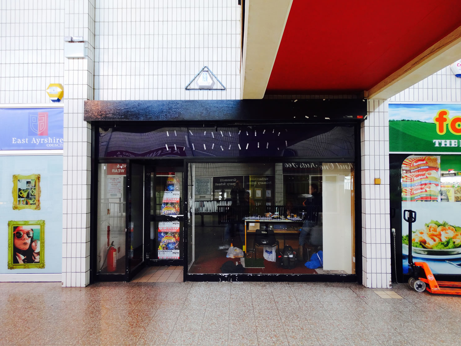
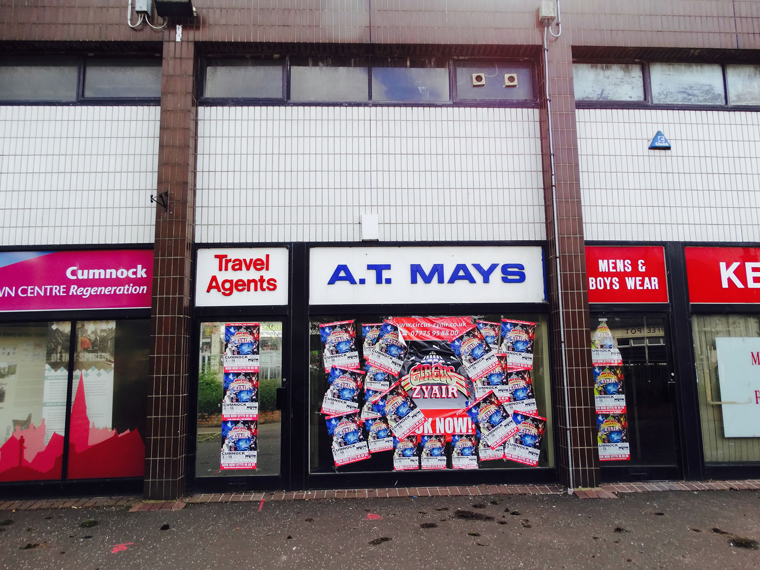
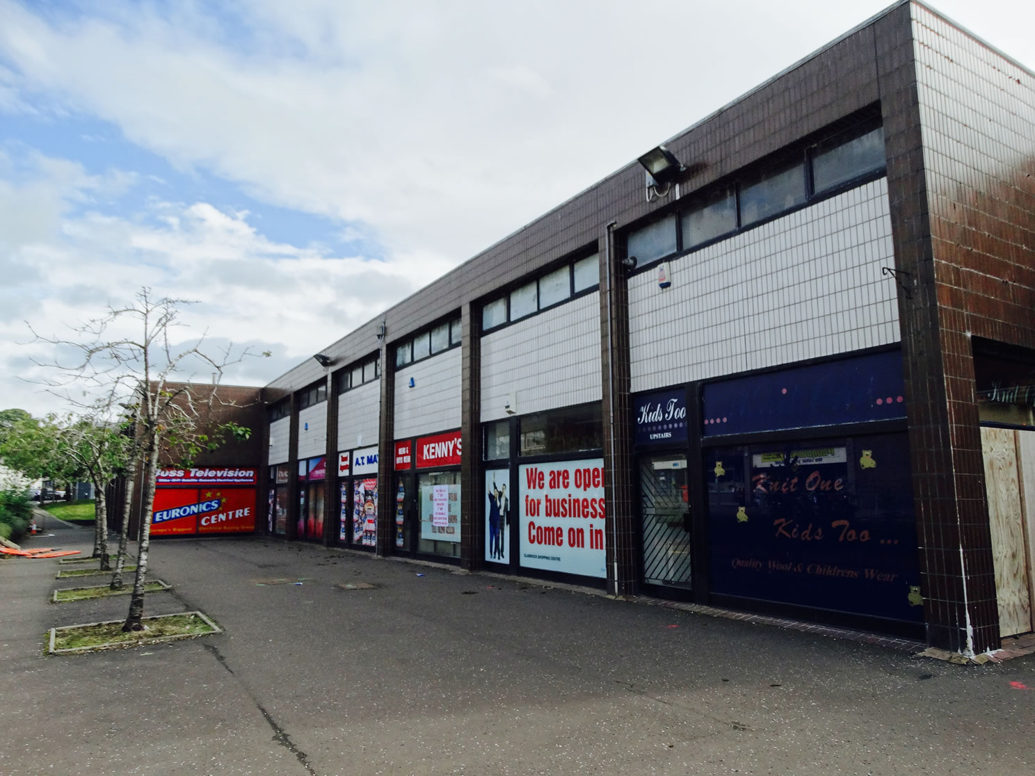
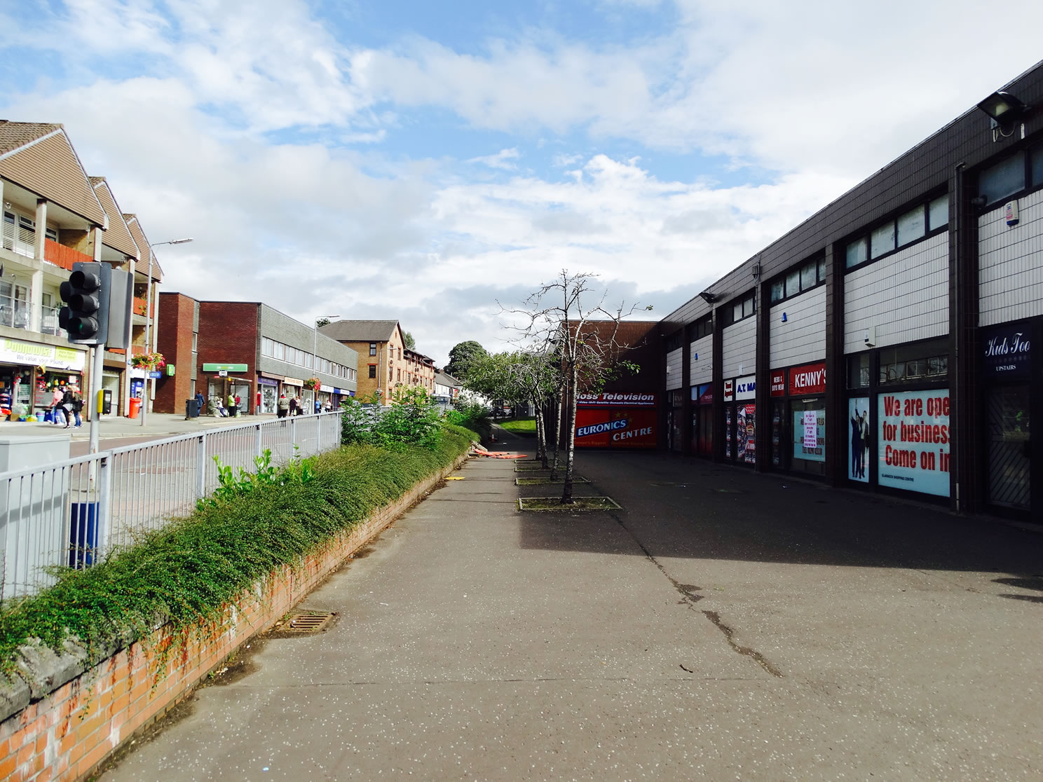
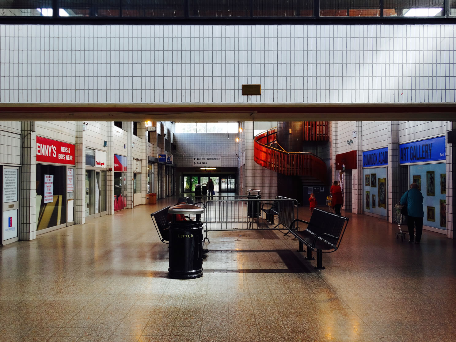
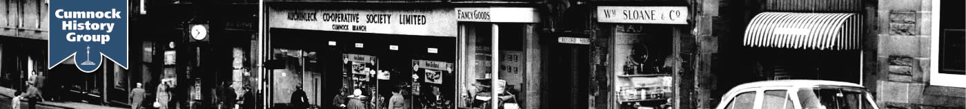
A selection of views and articles about Glaisnock Street and Road and the surrounding area.
Glaisnock Street Map 1895
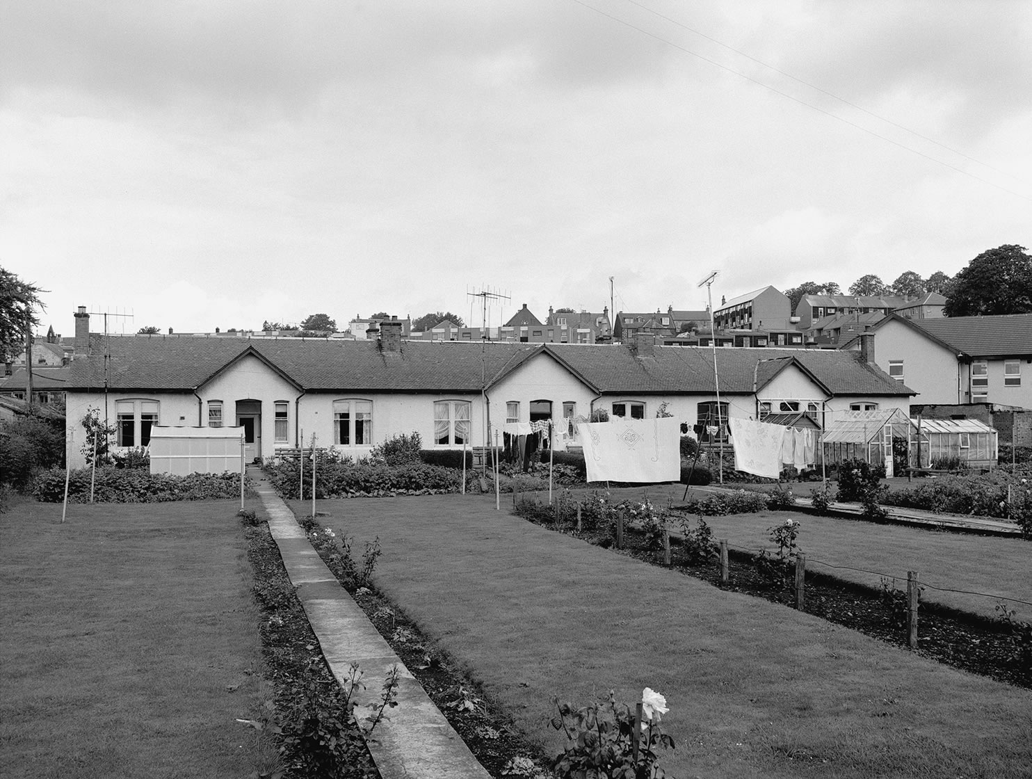
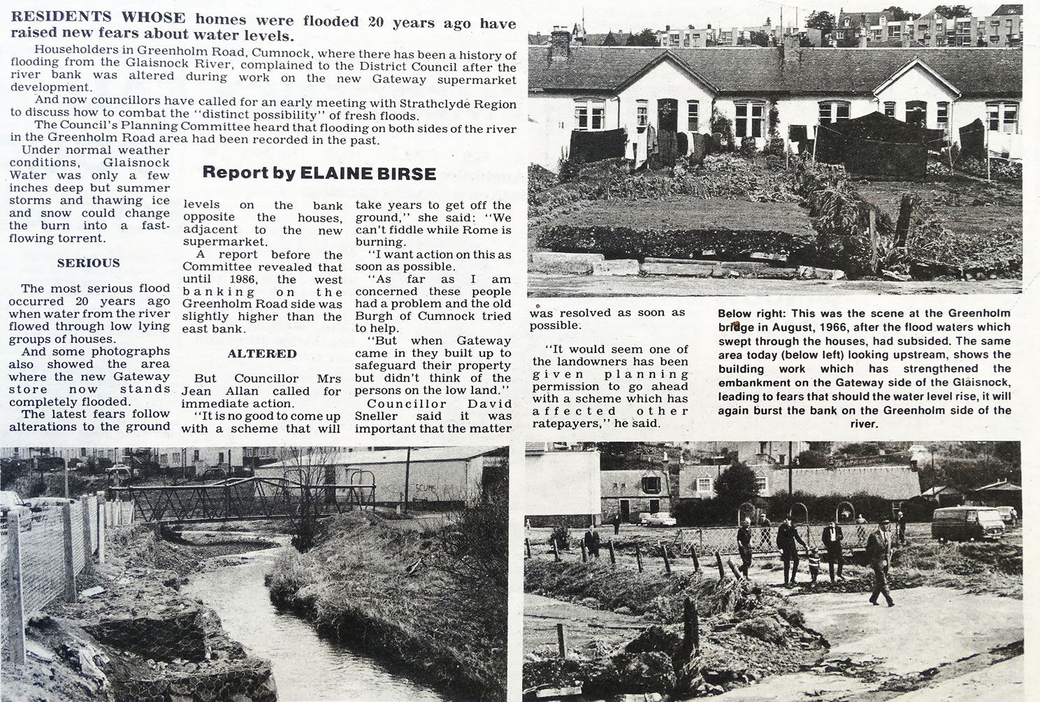
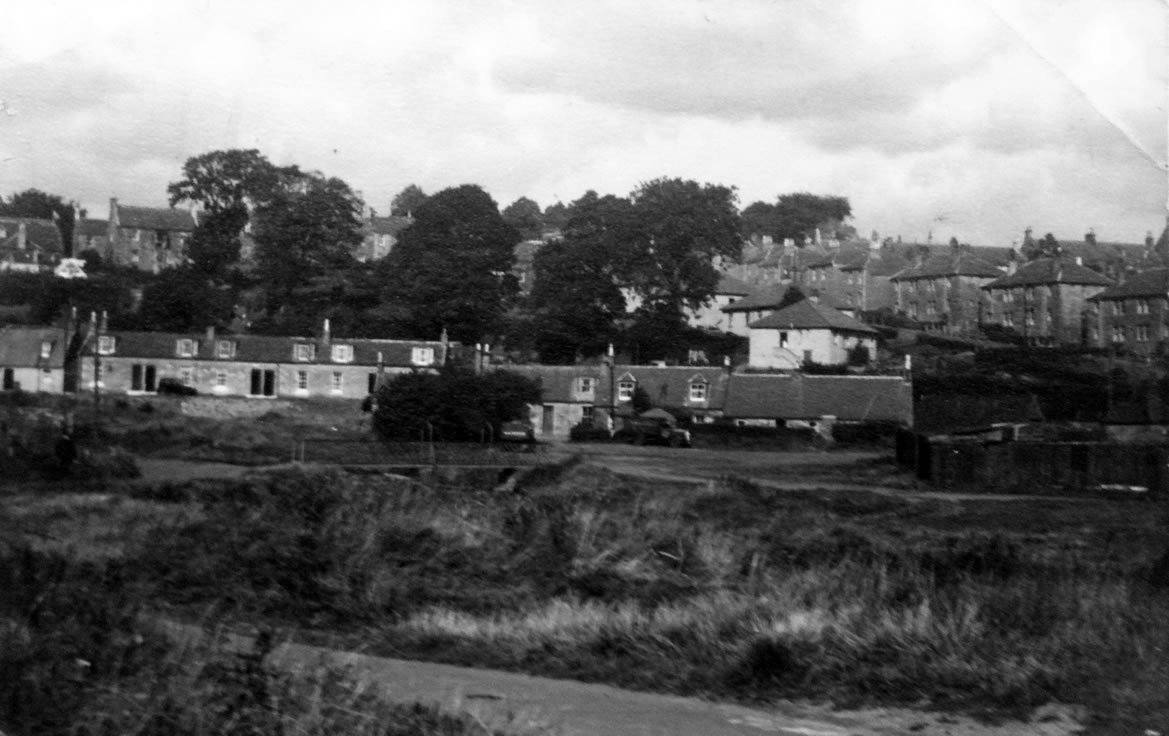
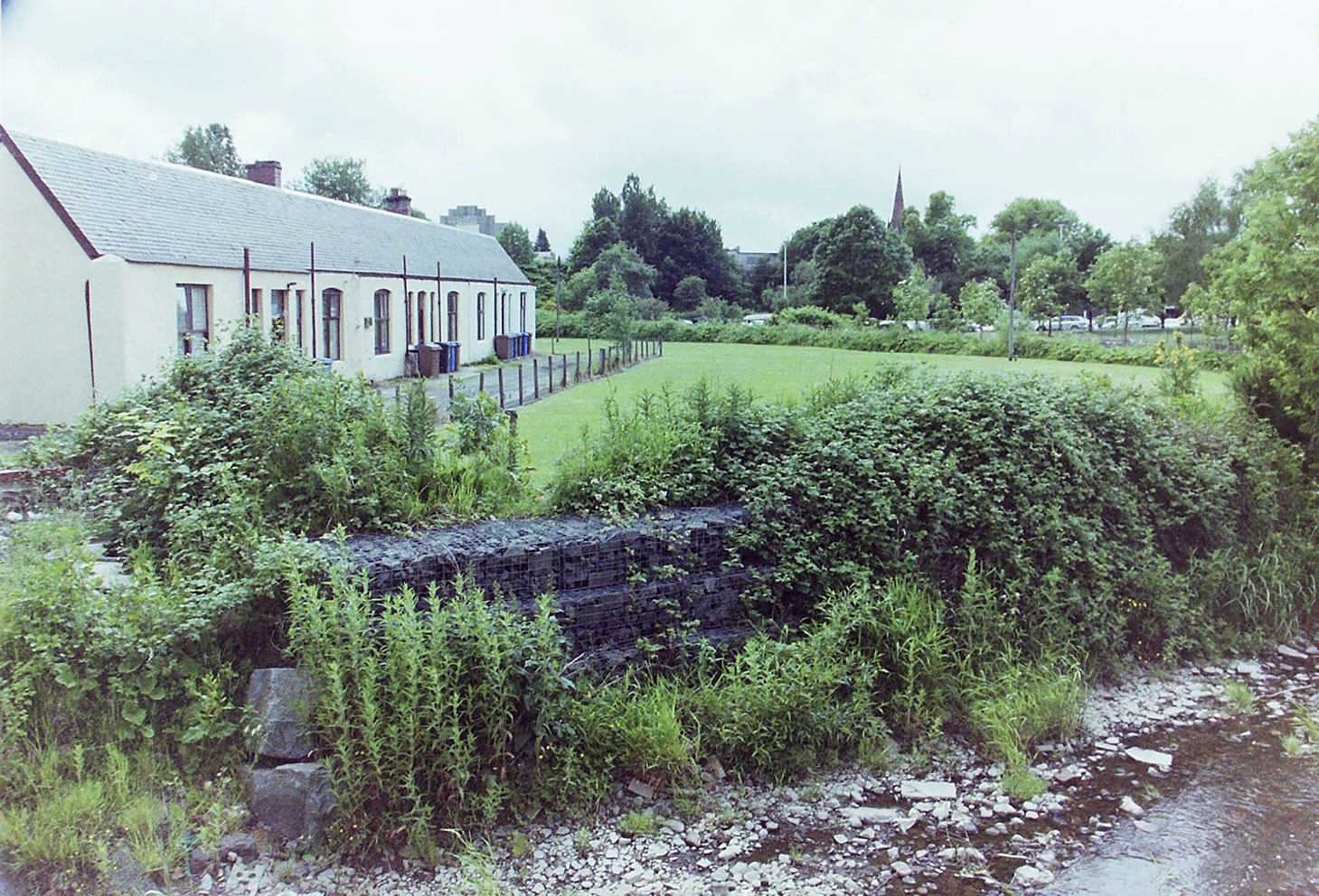
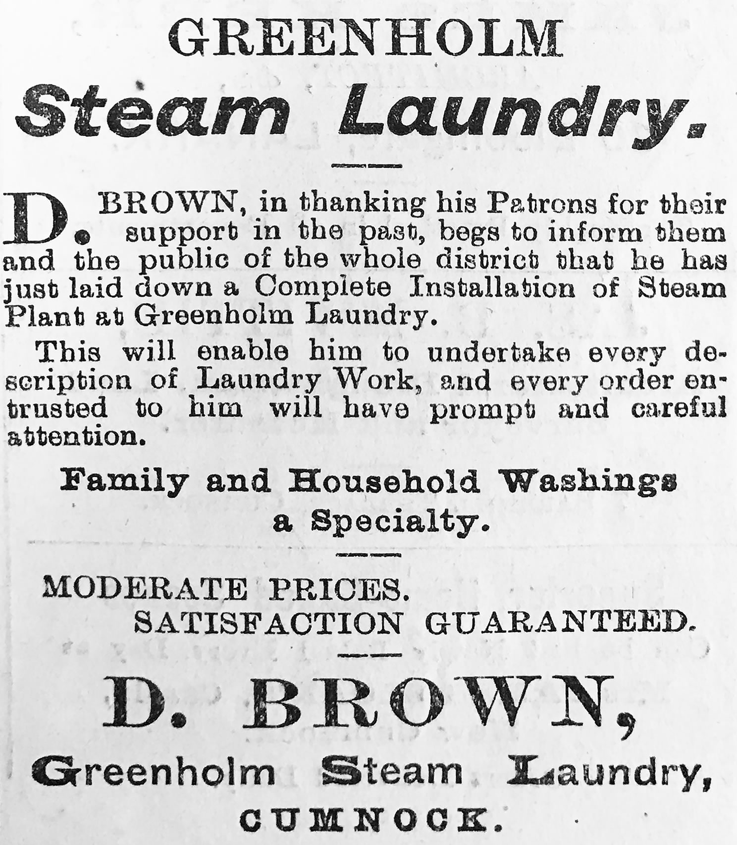
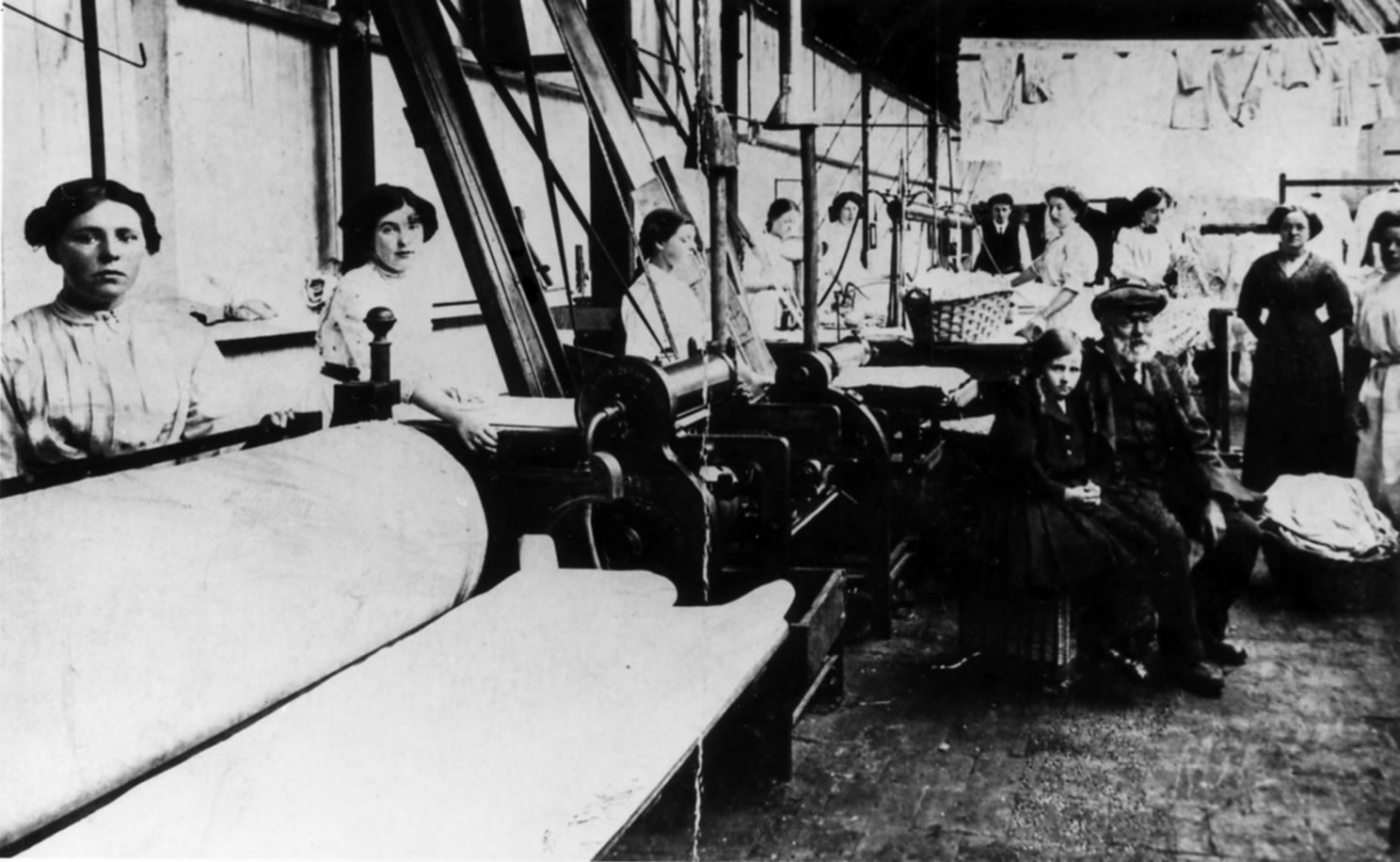
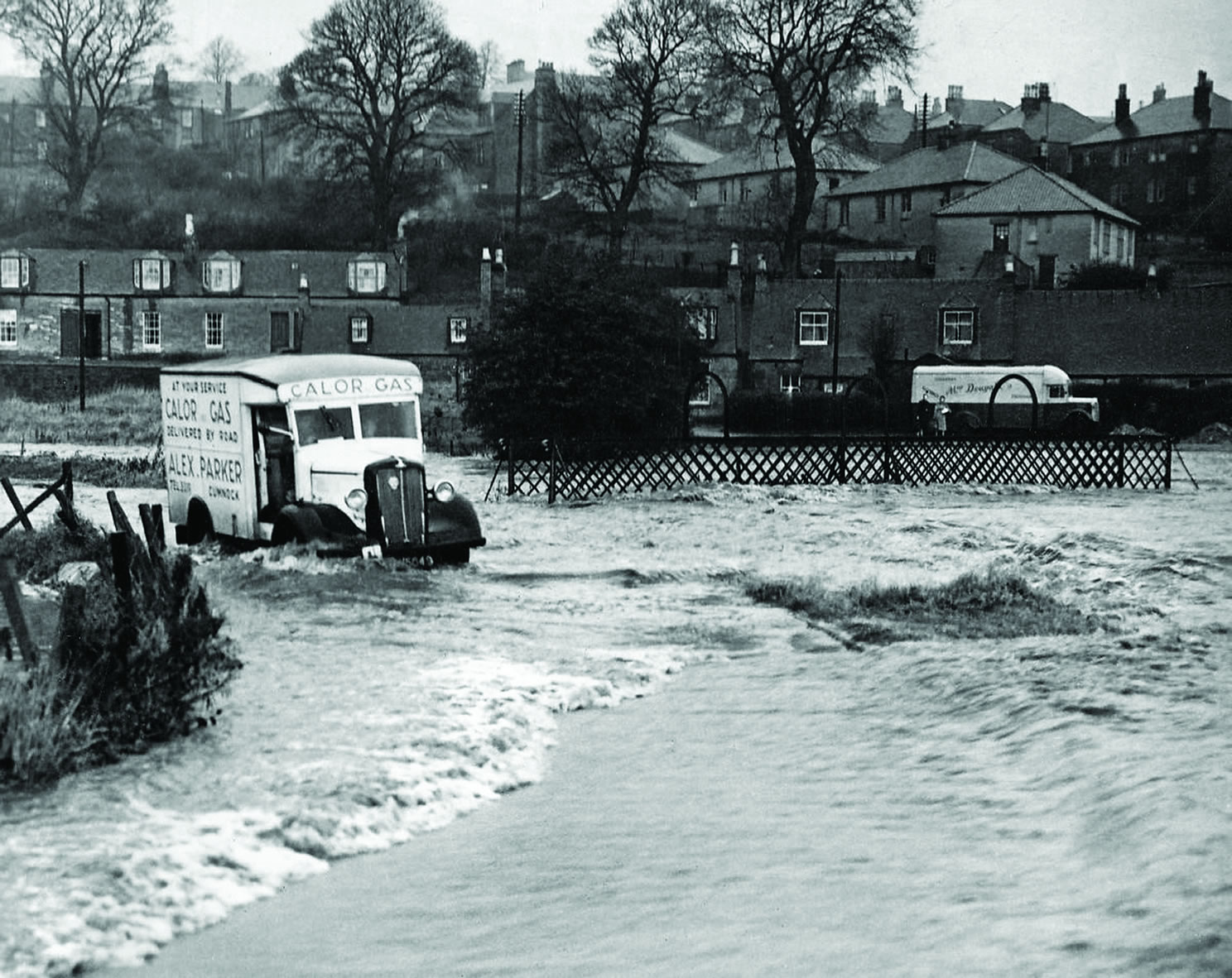
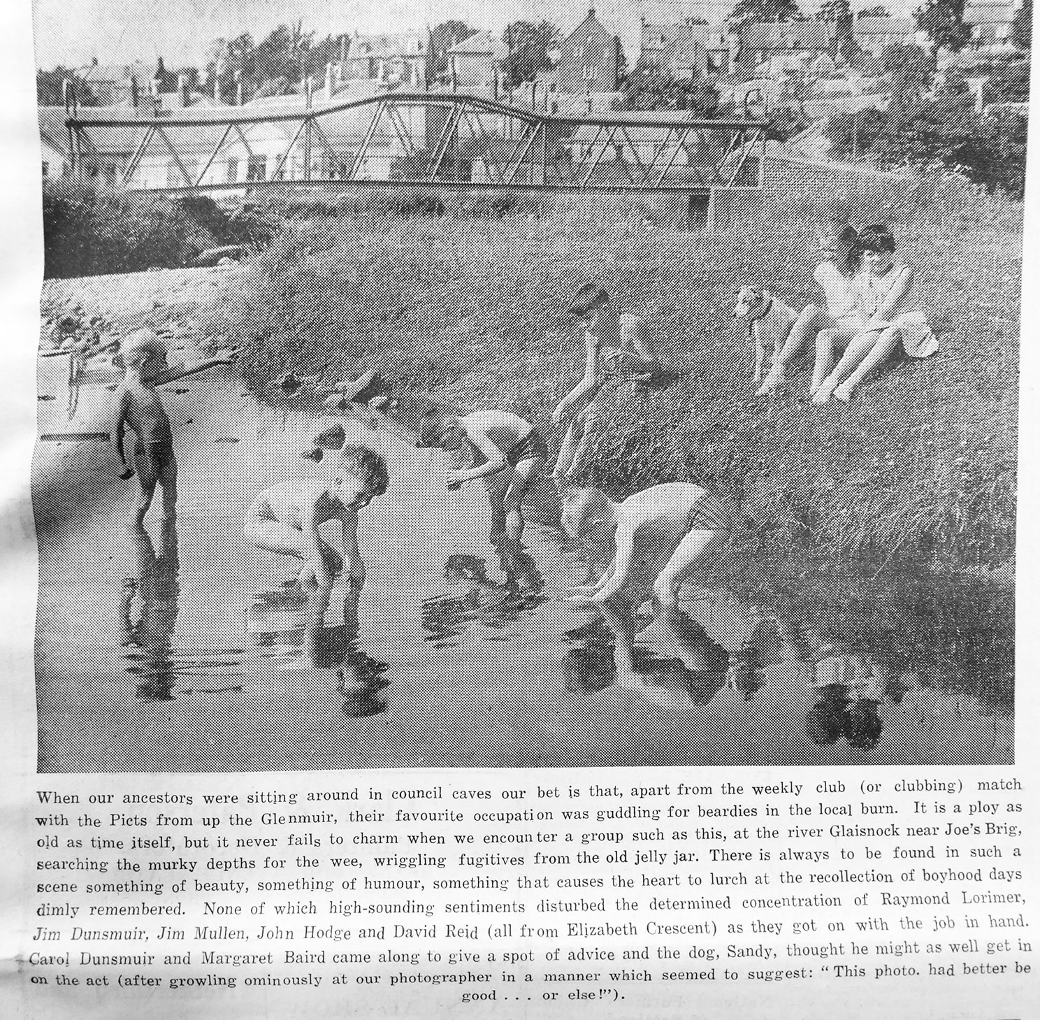
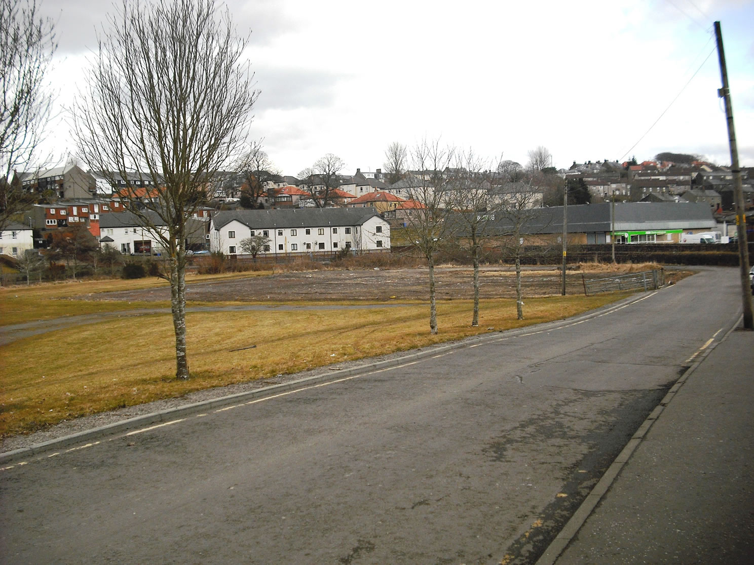
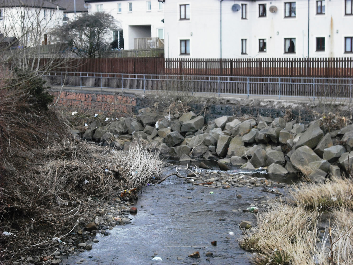
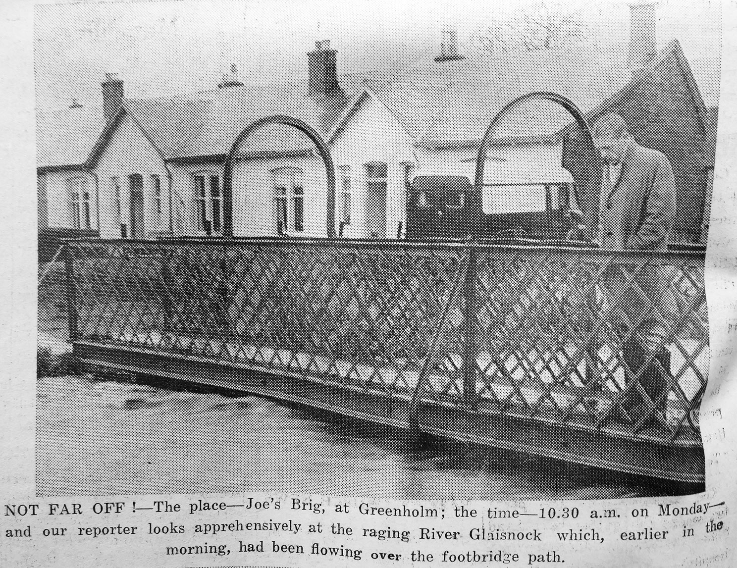
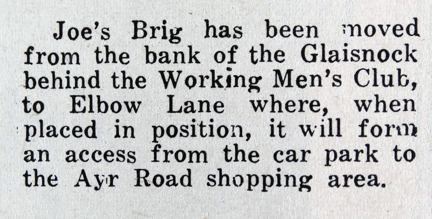
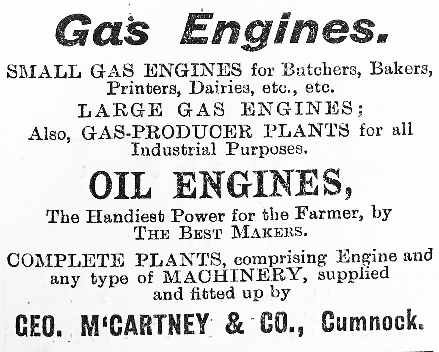
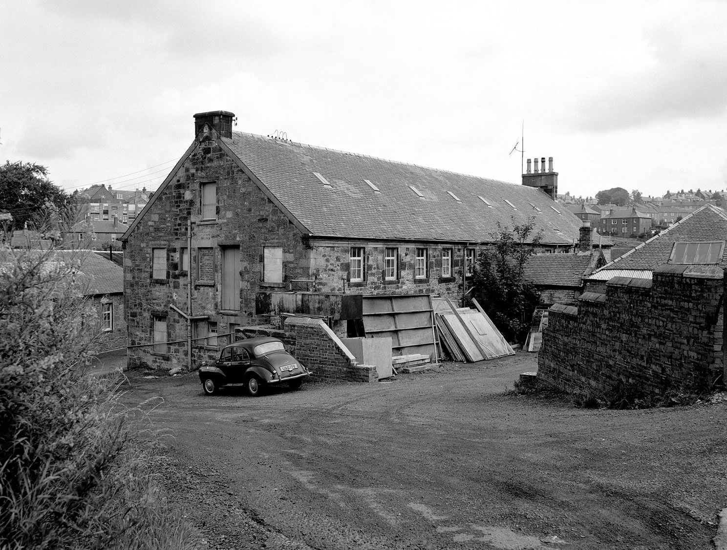
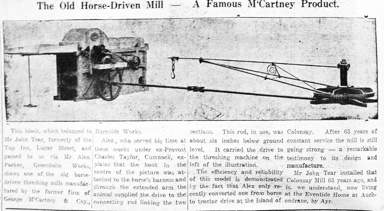
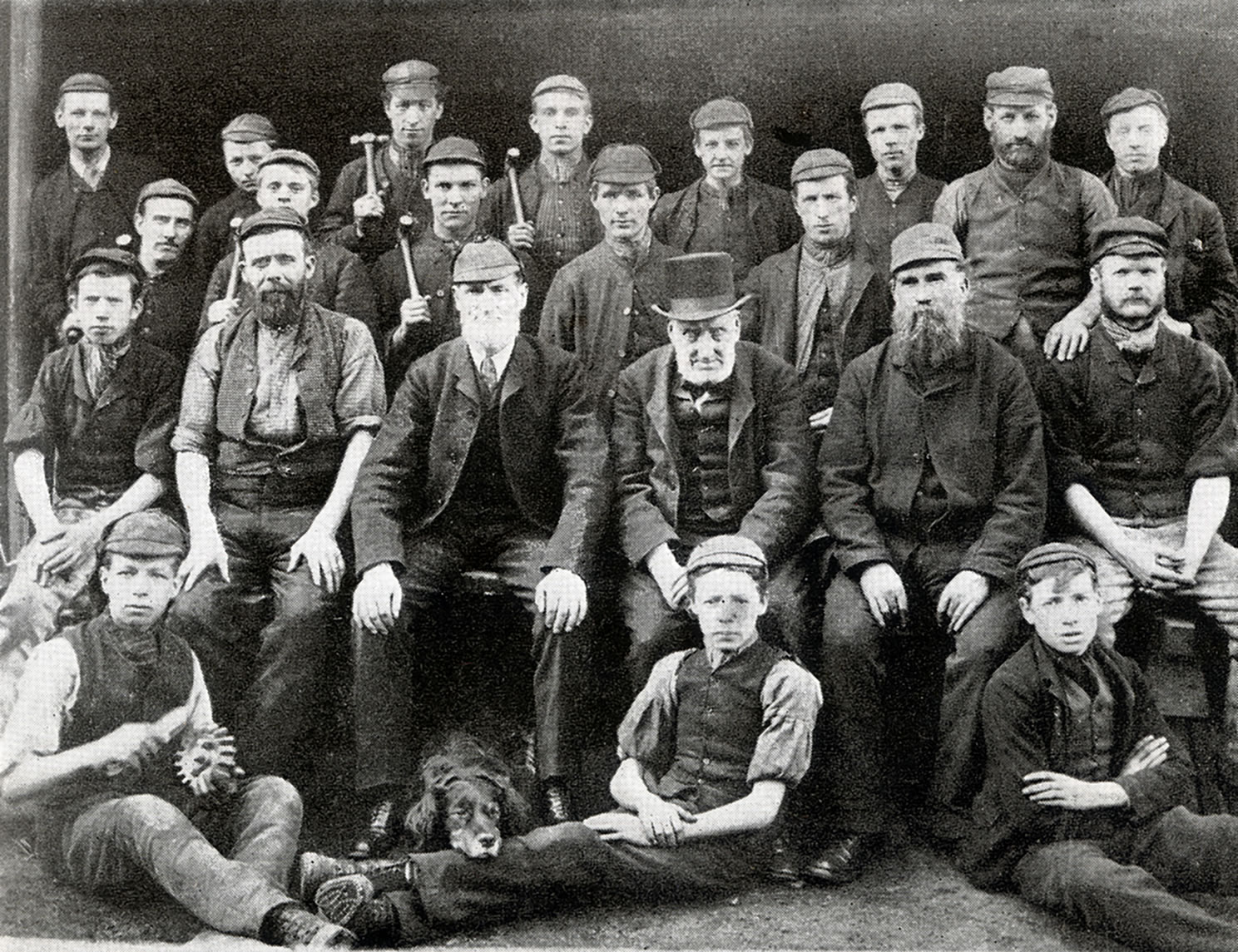
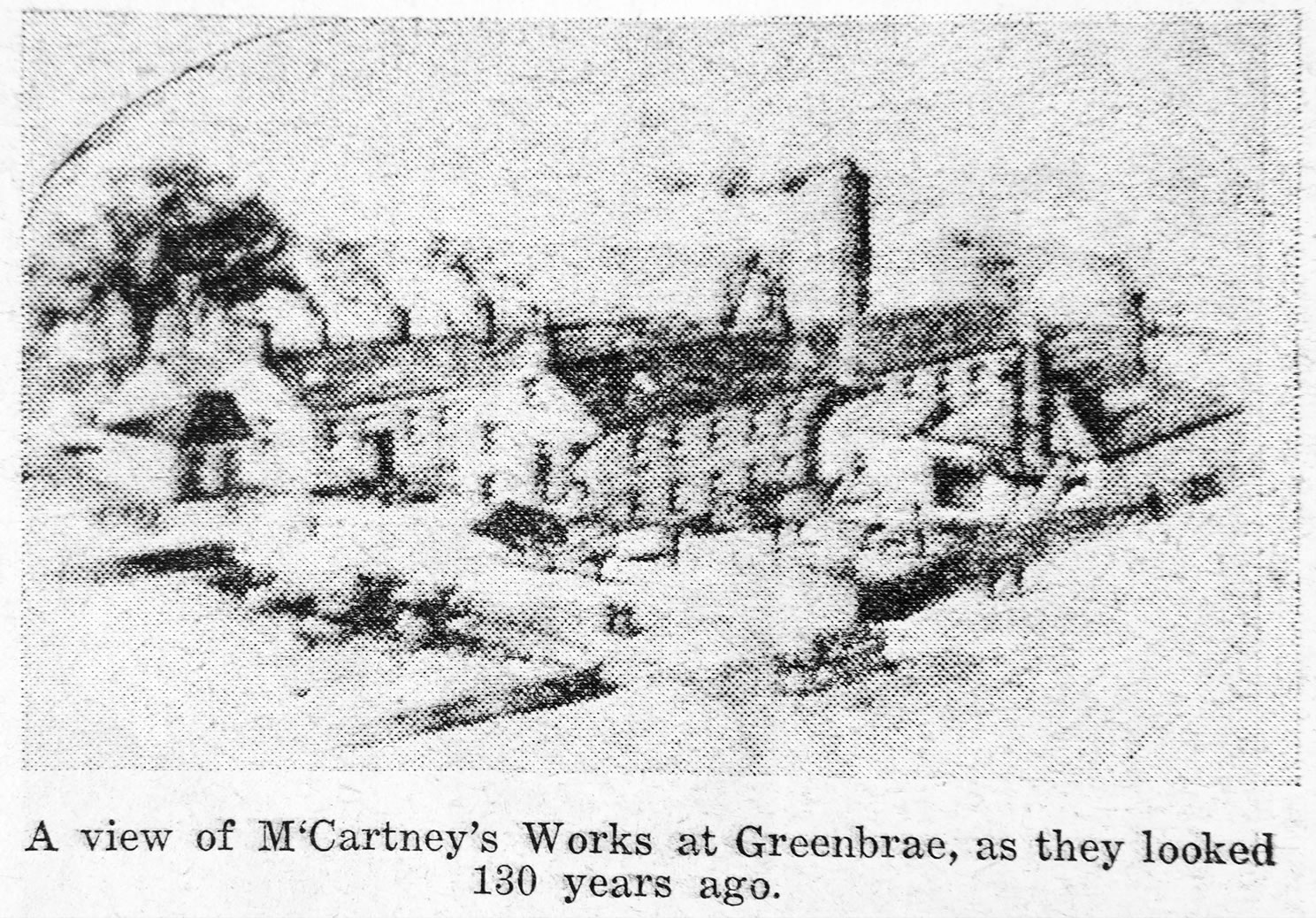
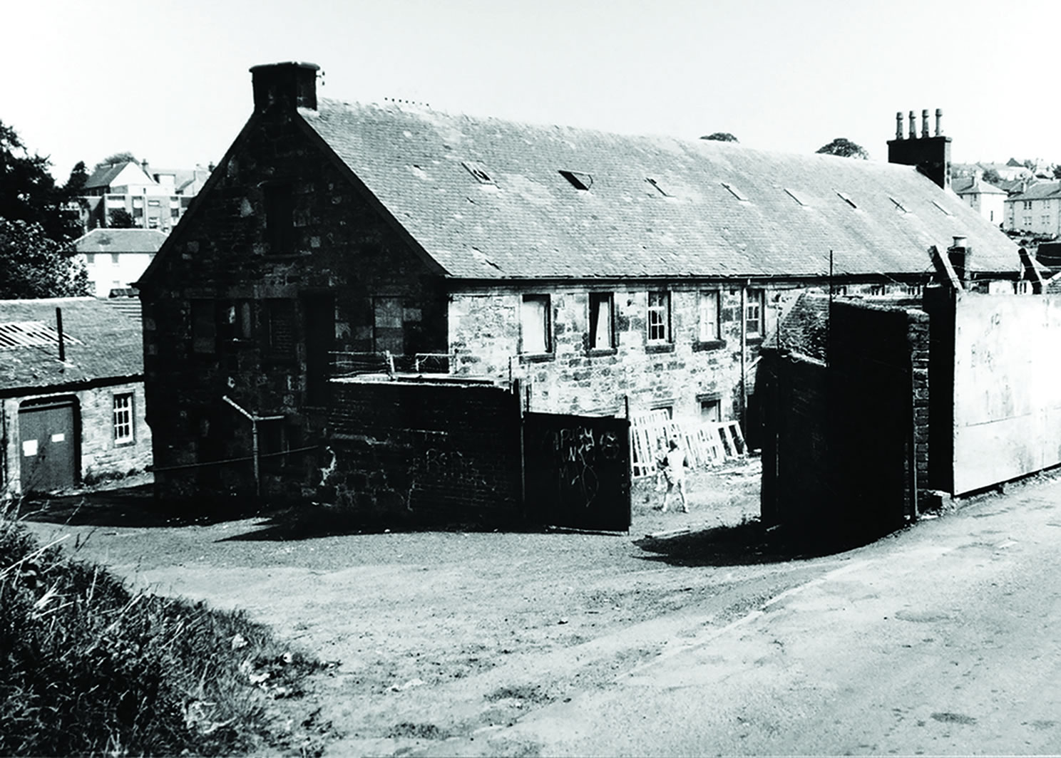
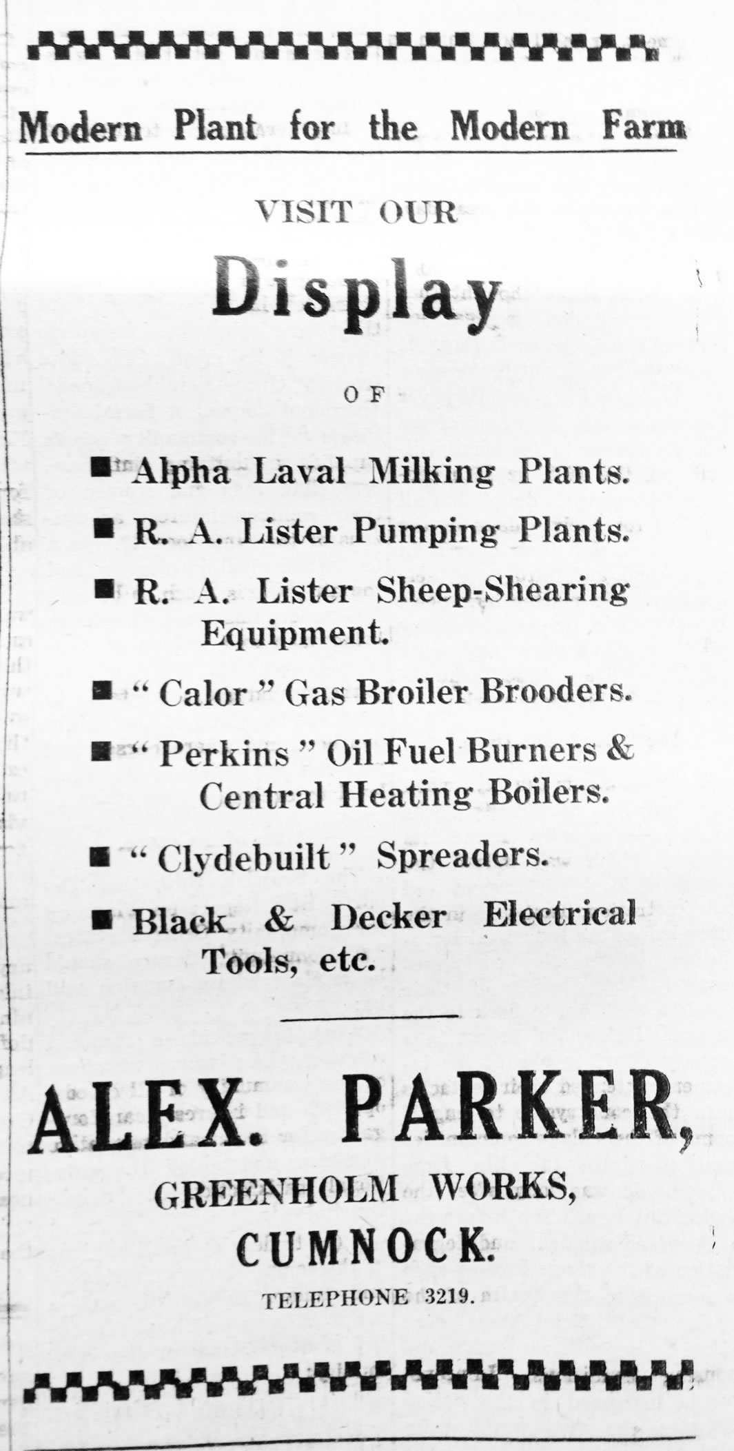
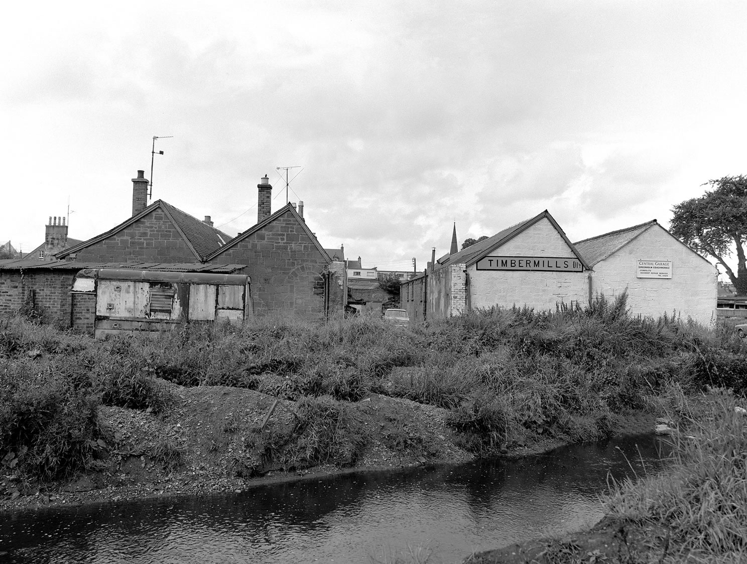
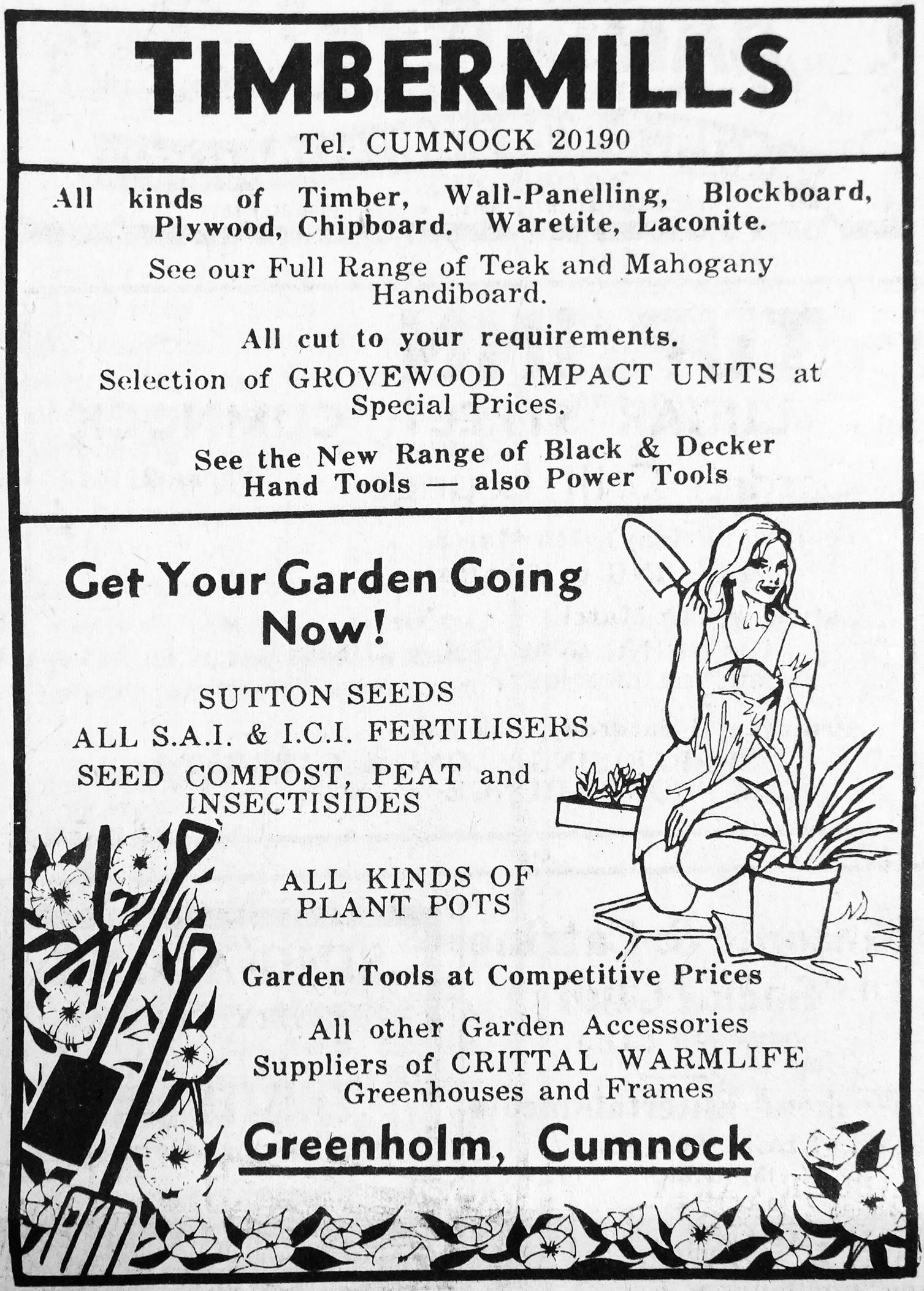
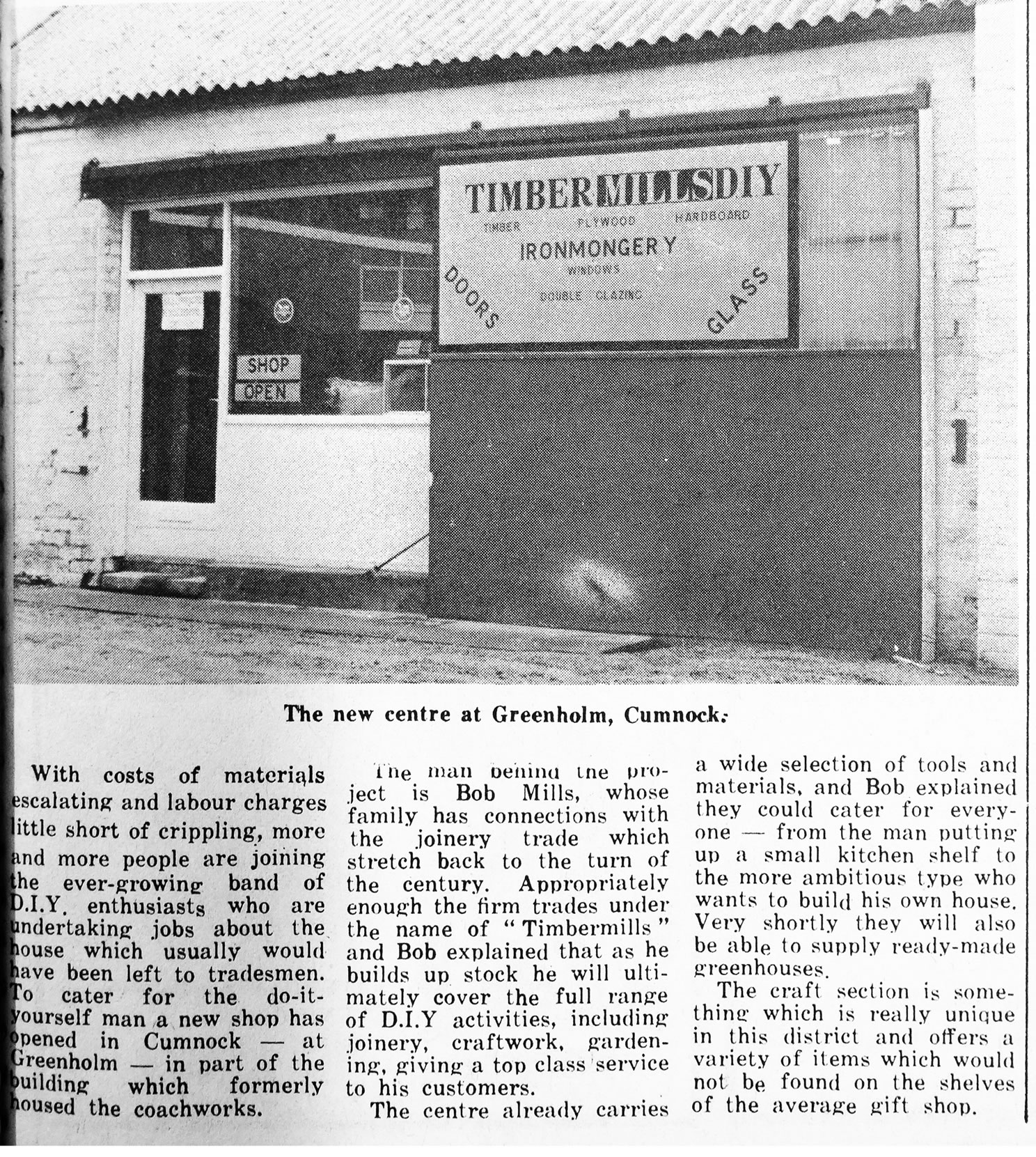
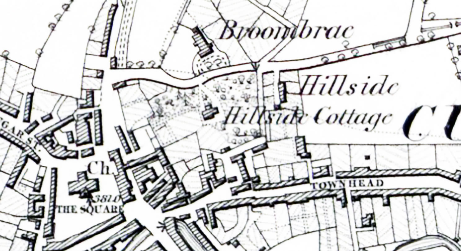
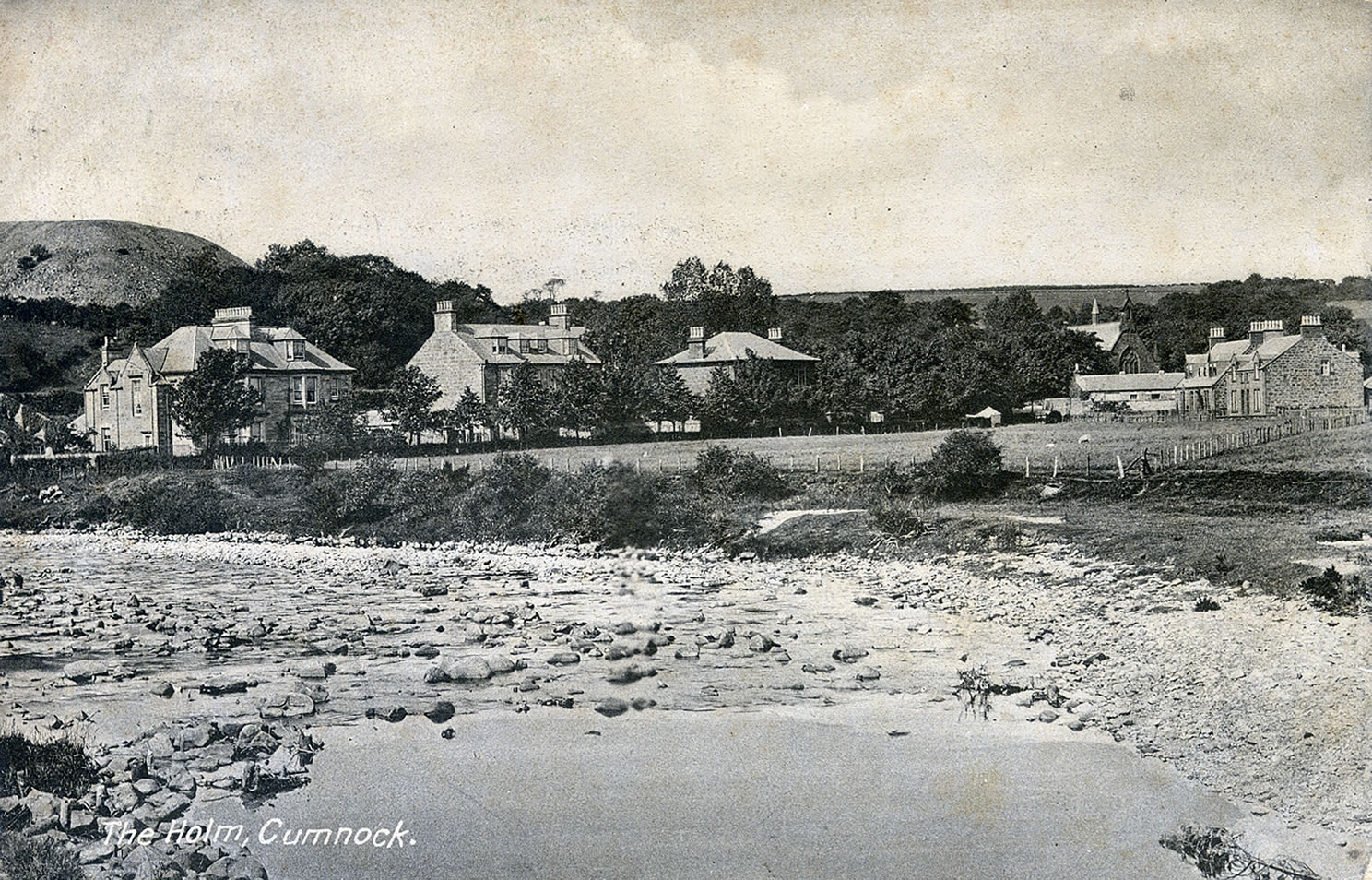
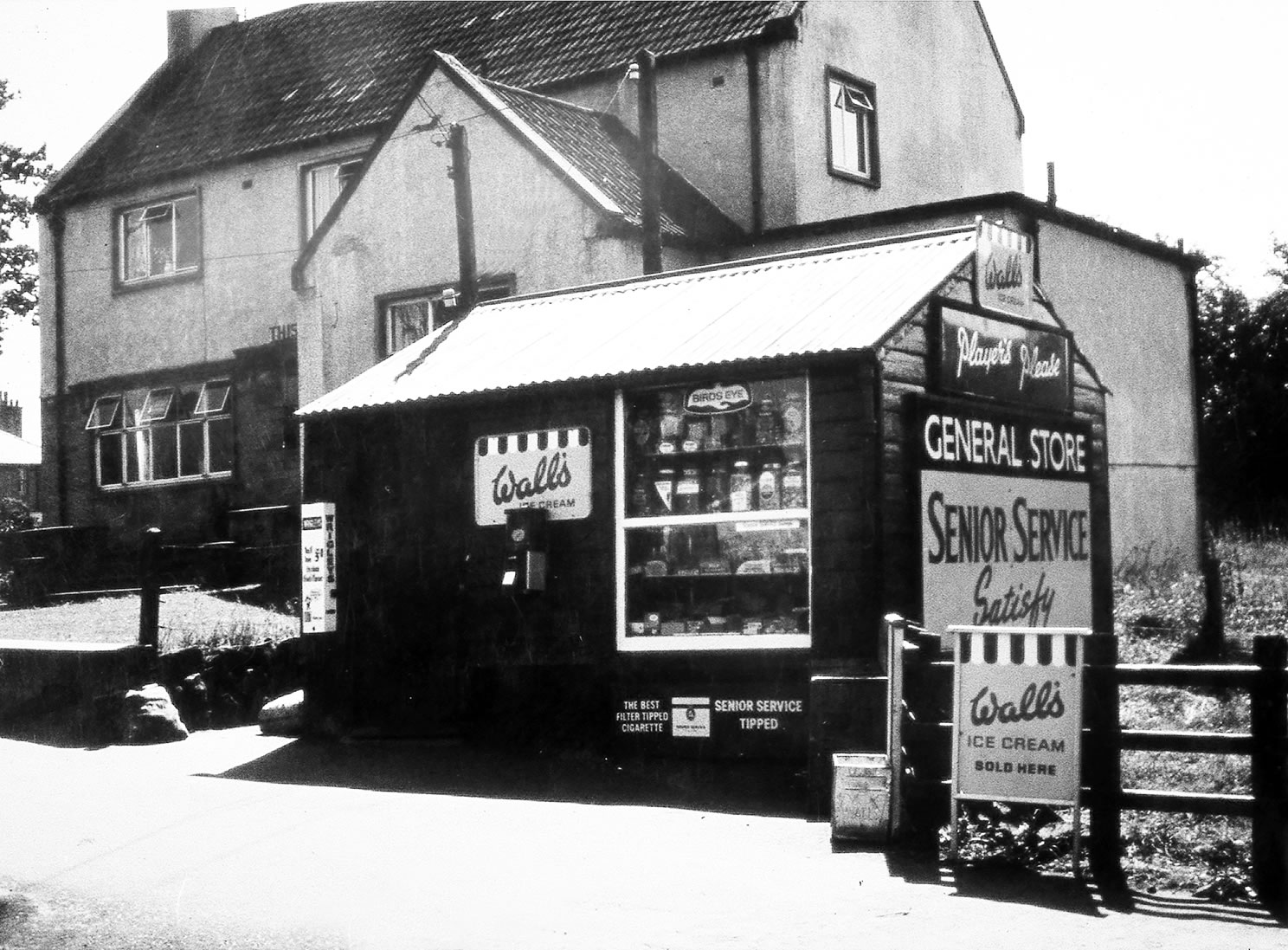
A selection of views and articles about Greenholm, Greenbrae Heid and the surrounding area.
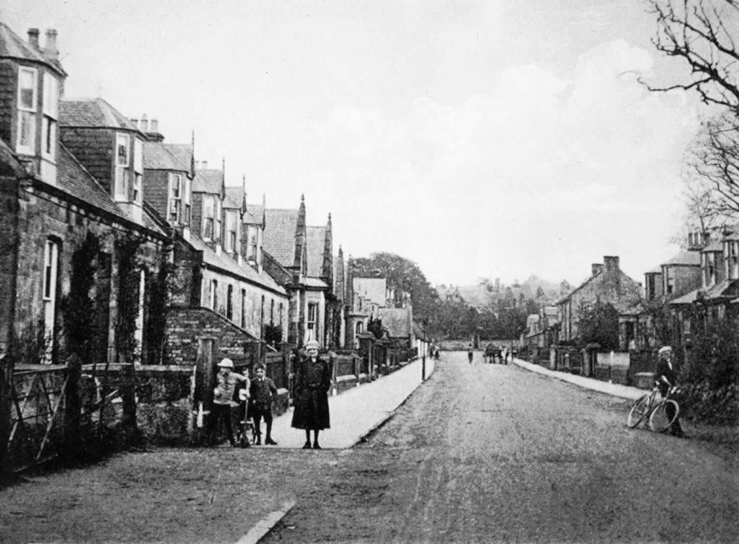
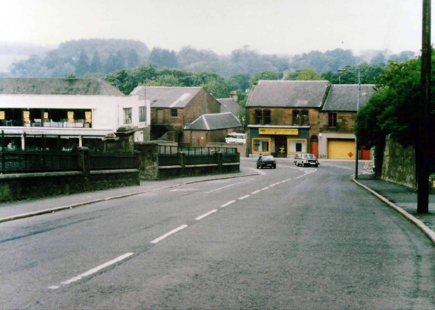
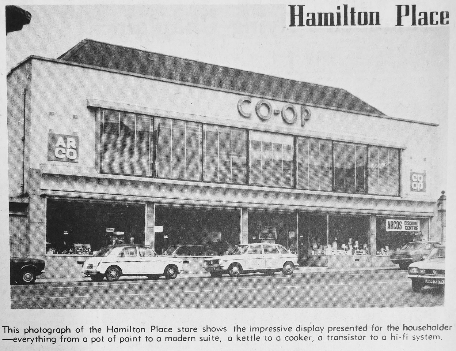
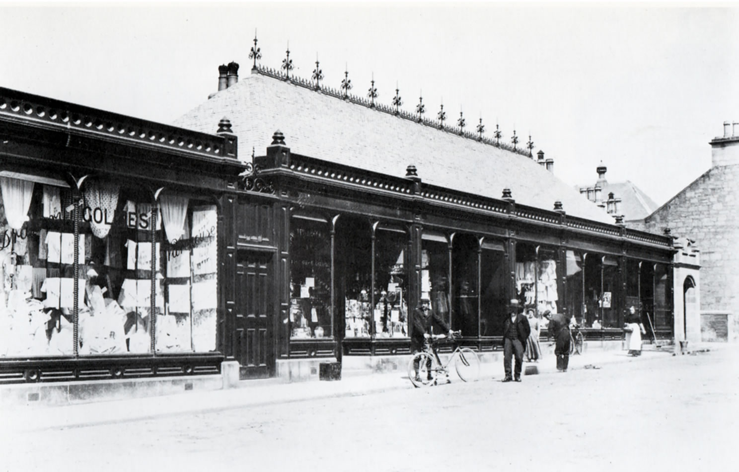
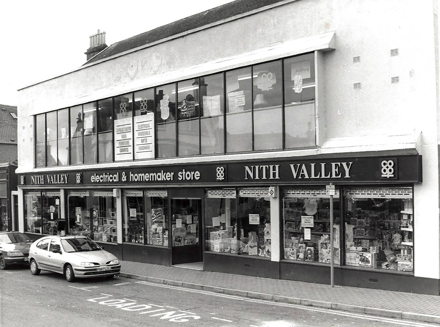
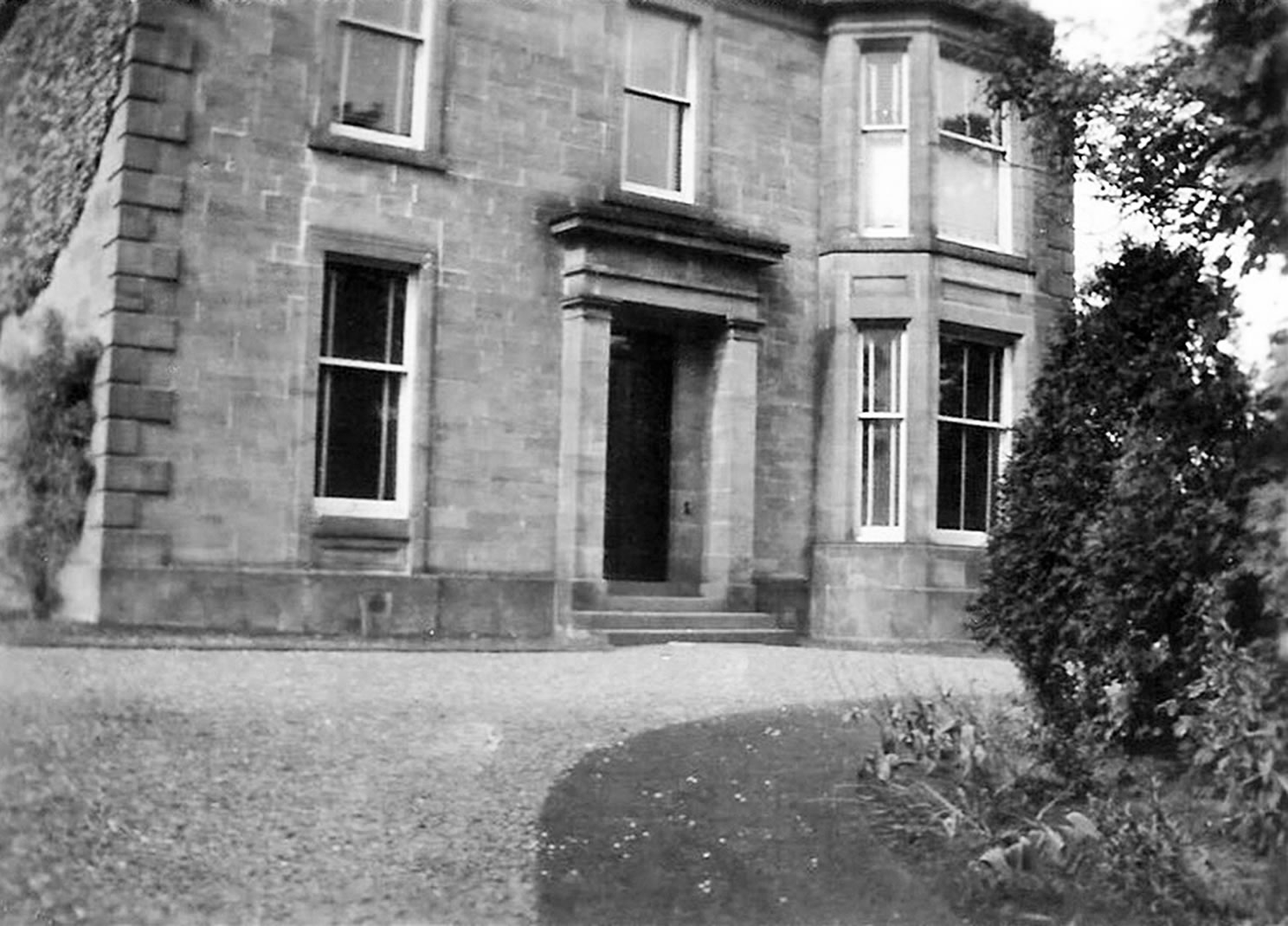
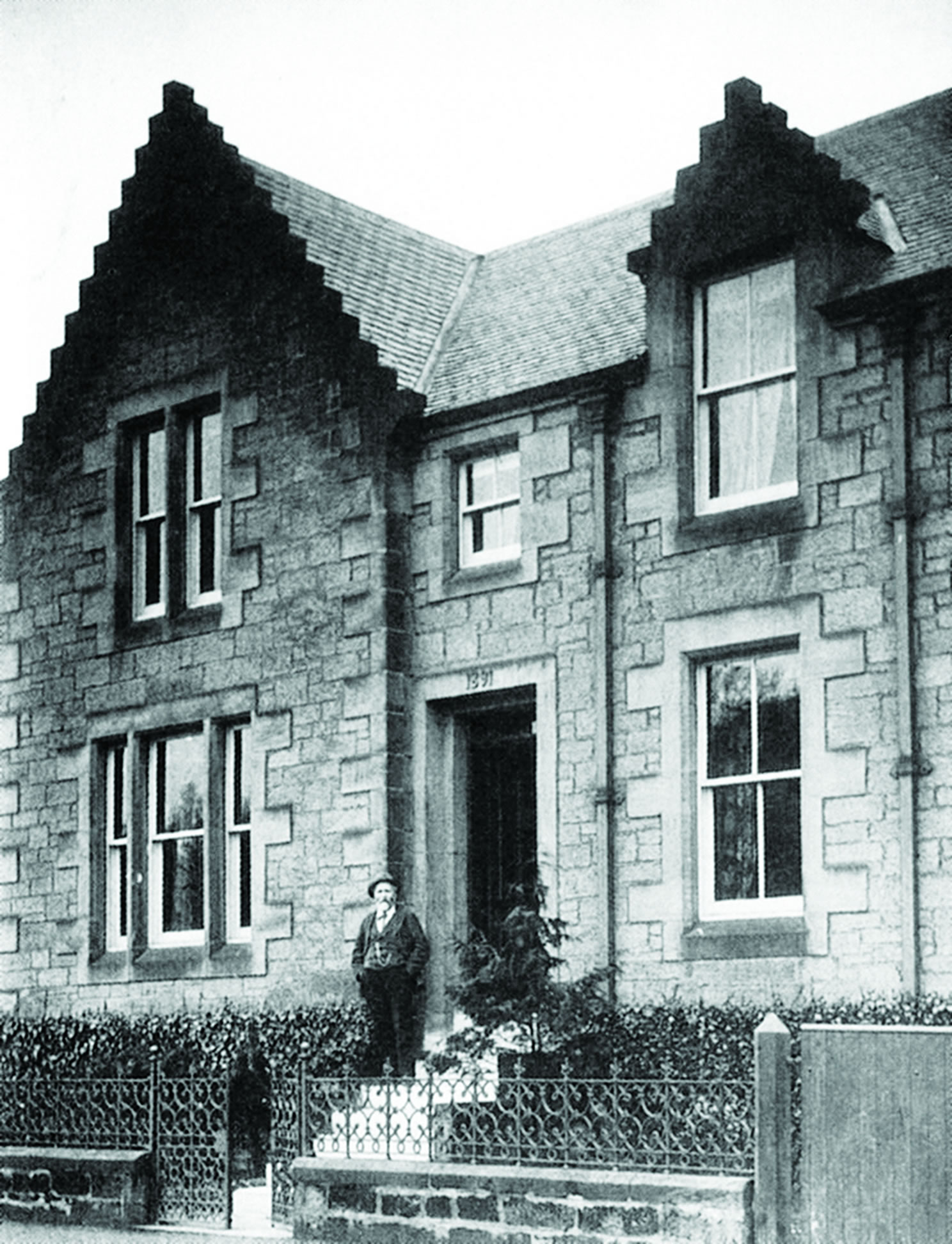
A selection of views and articles about Hamilton Place and the surrounding area.
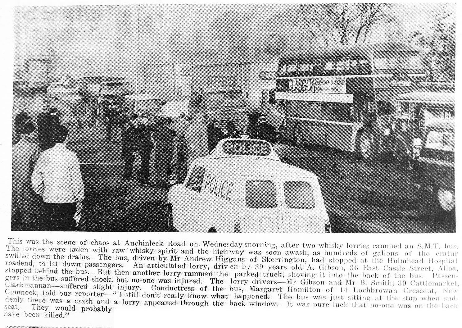
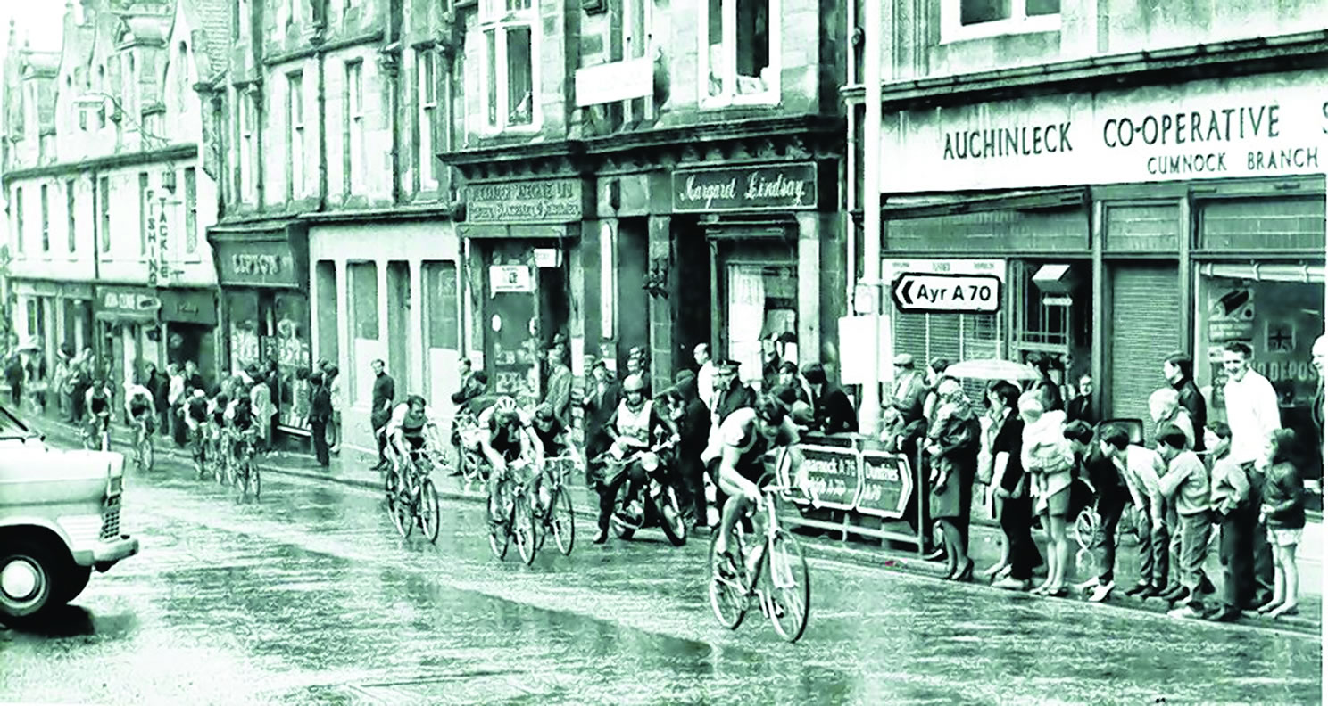
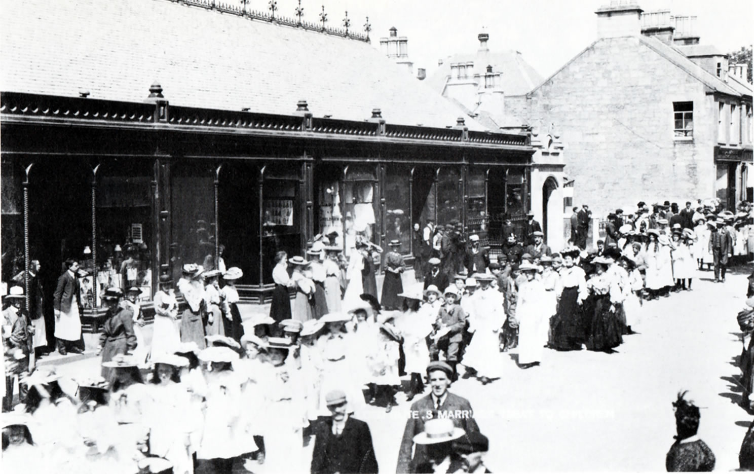
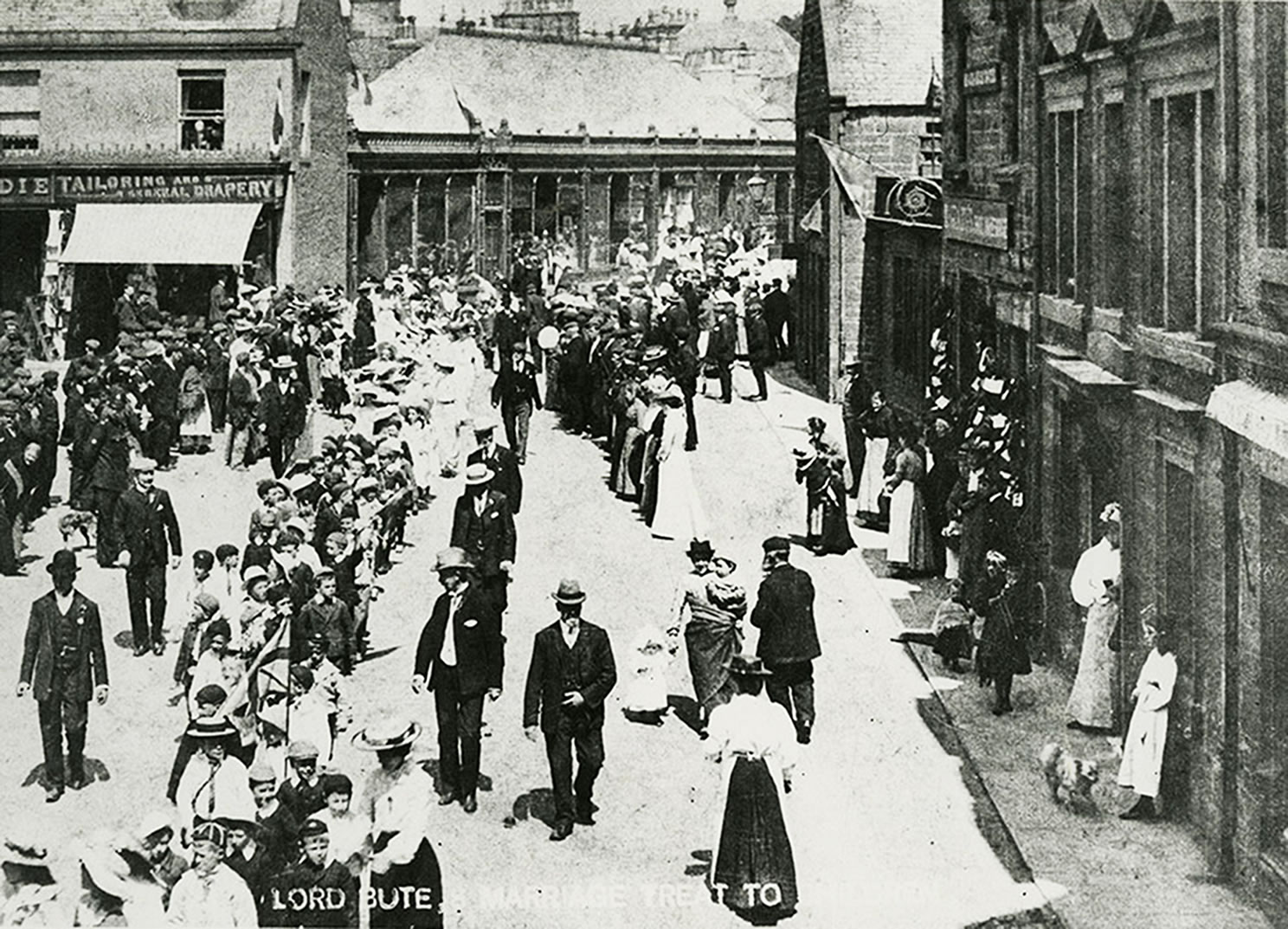
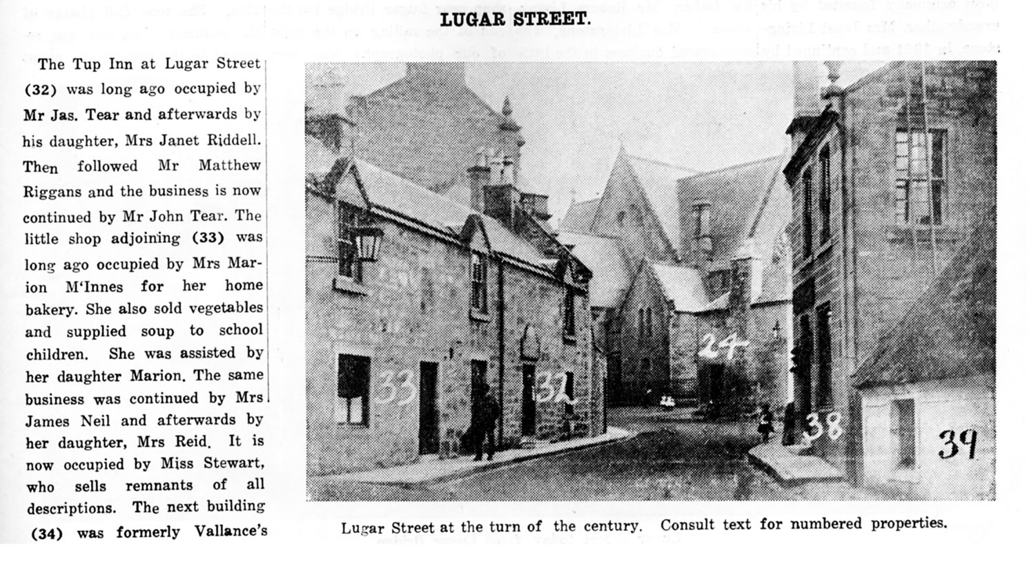
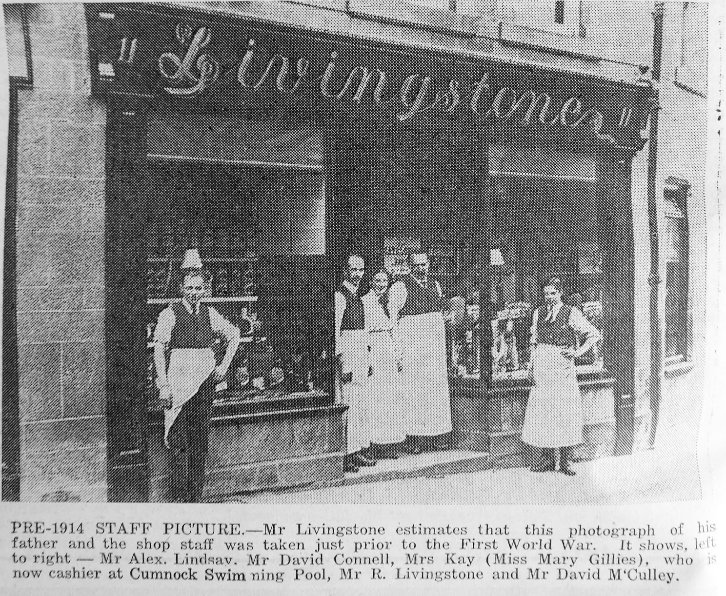
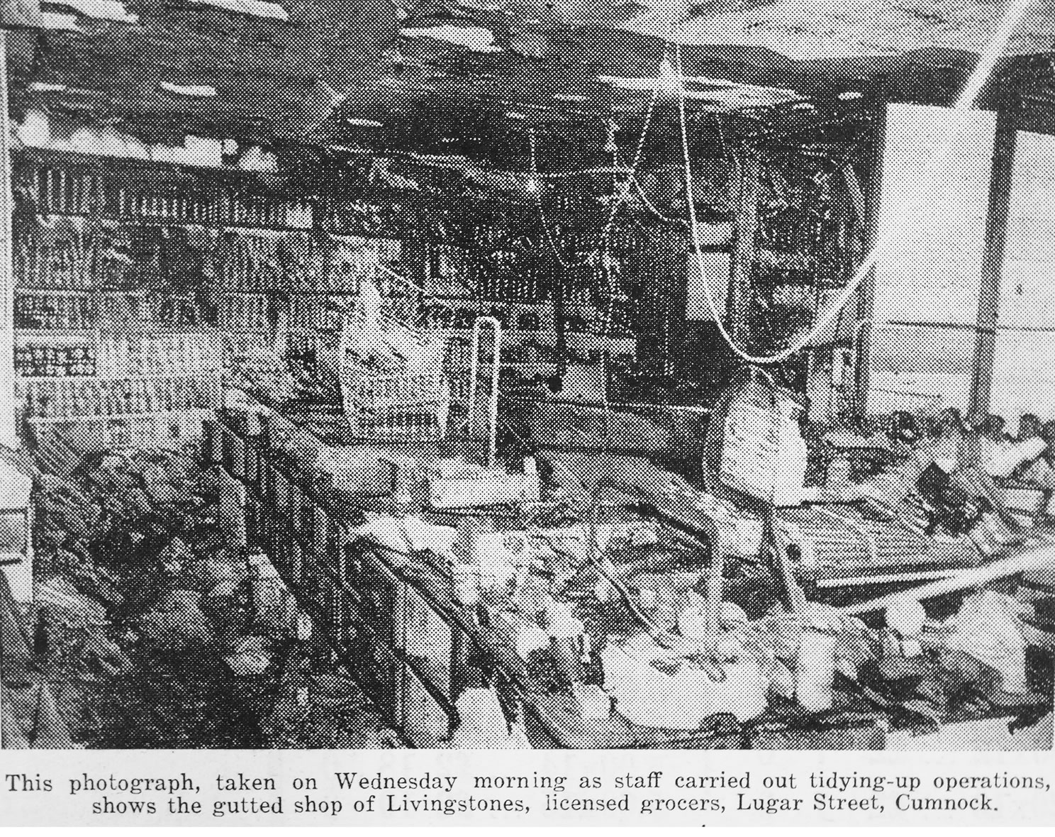
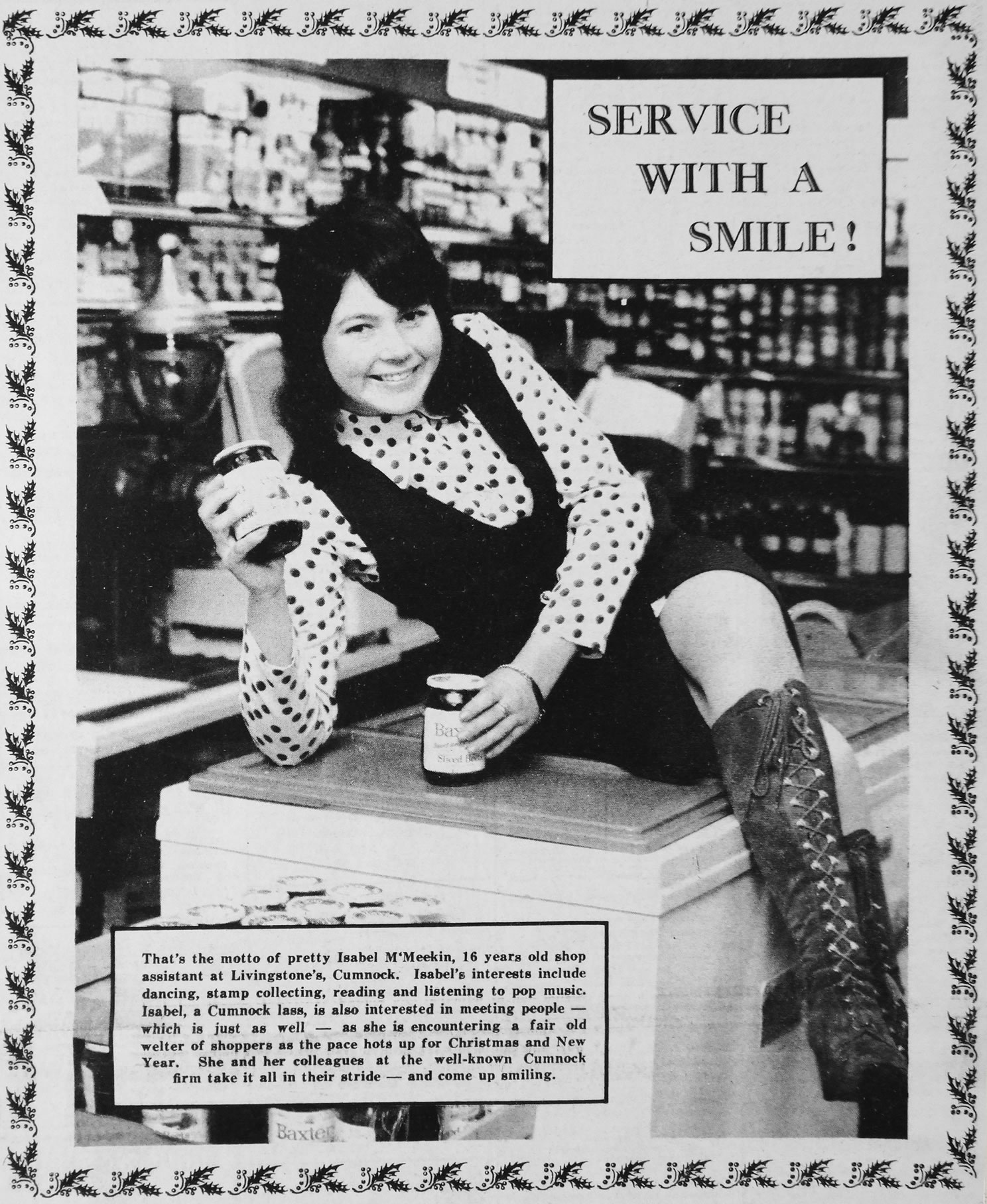
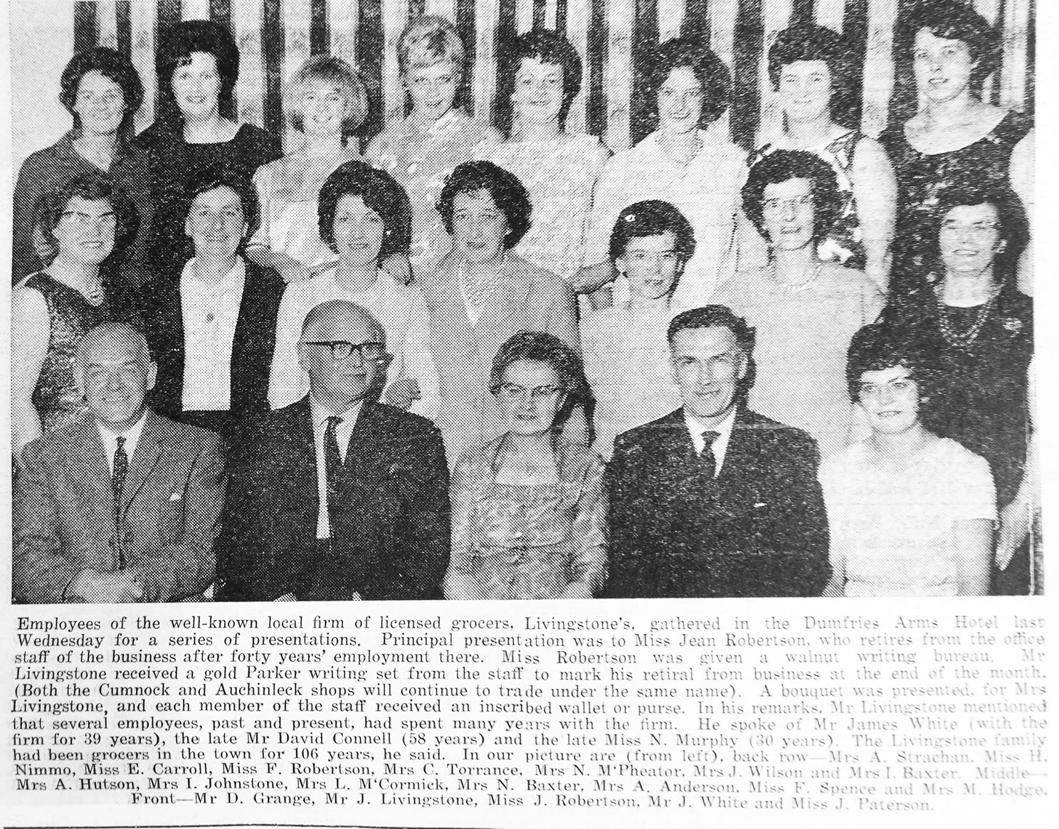
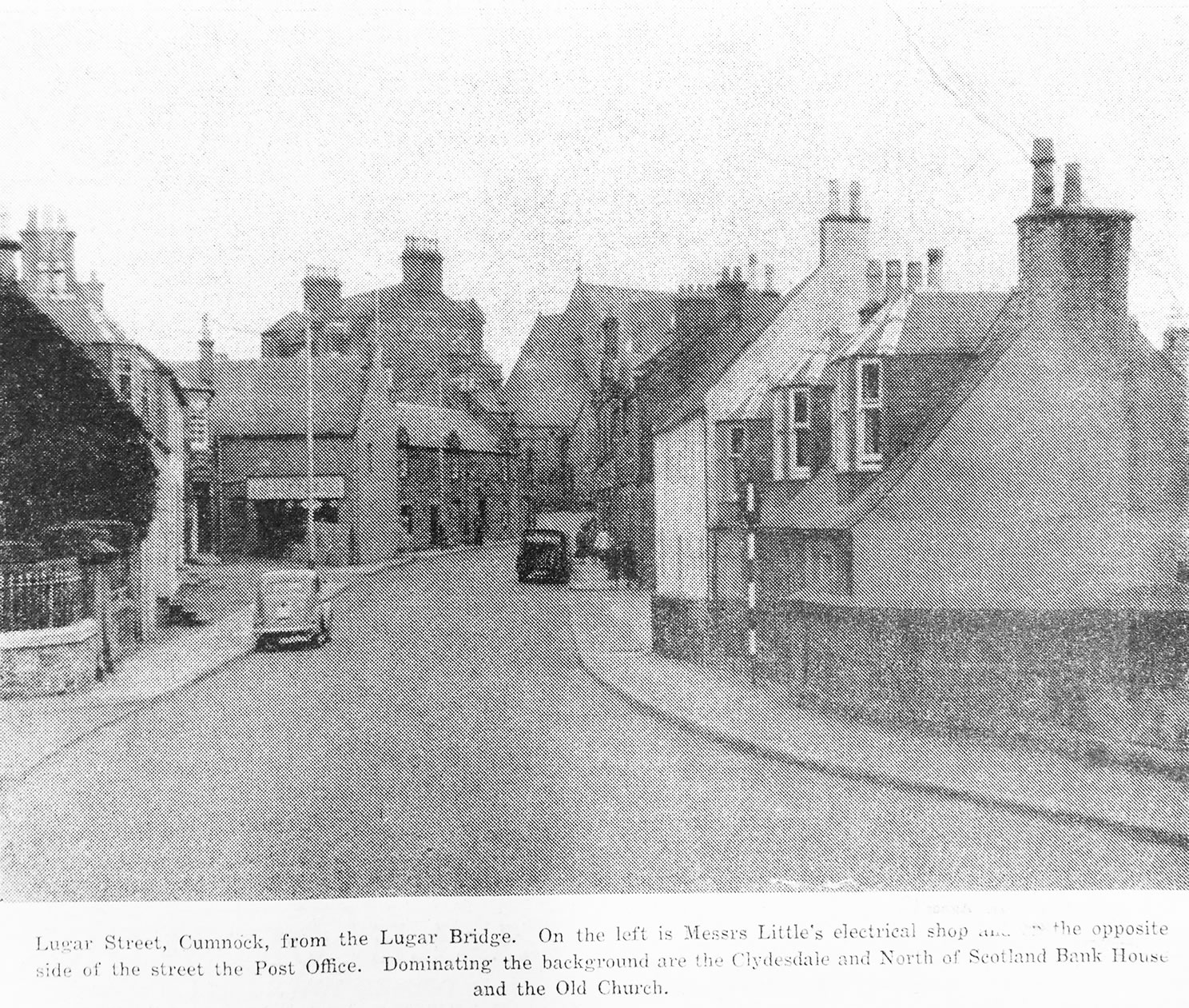
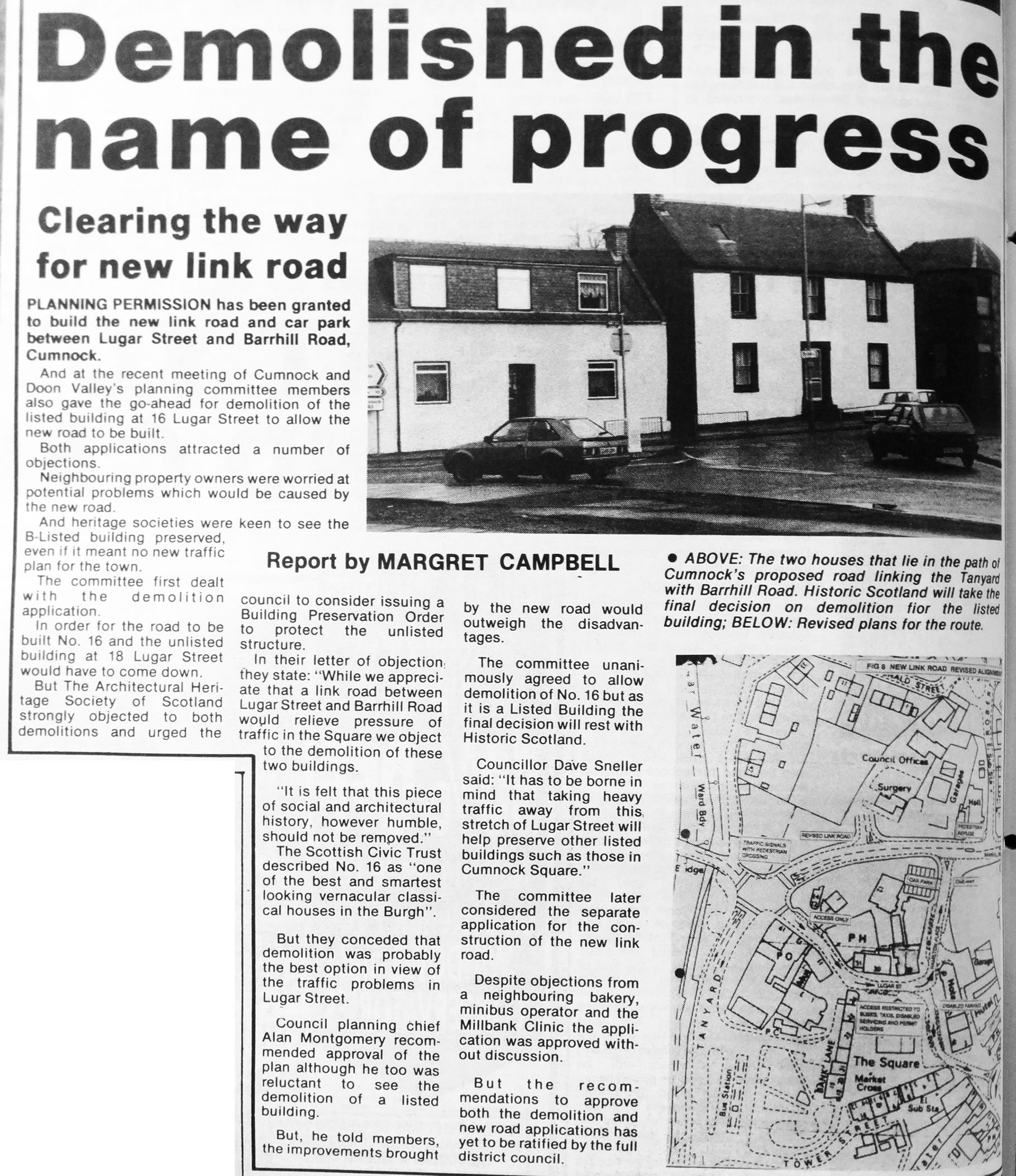
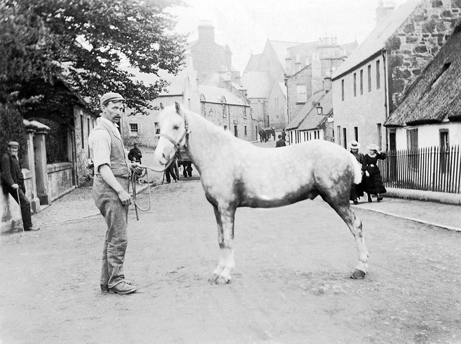
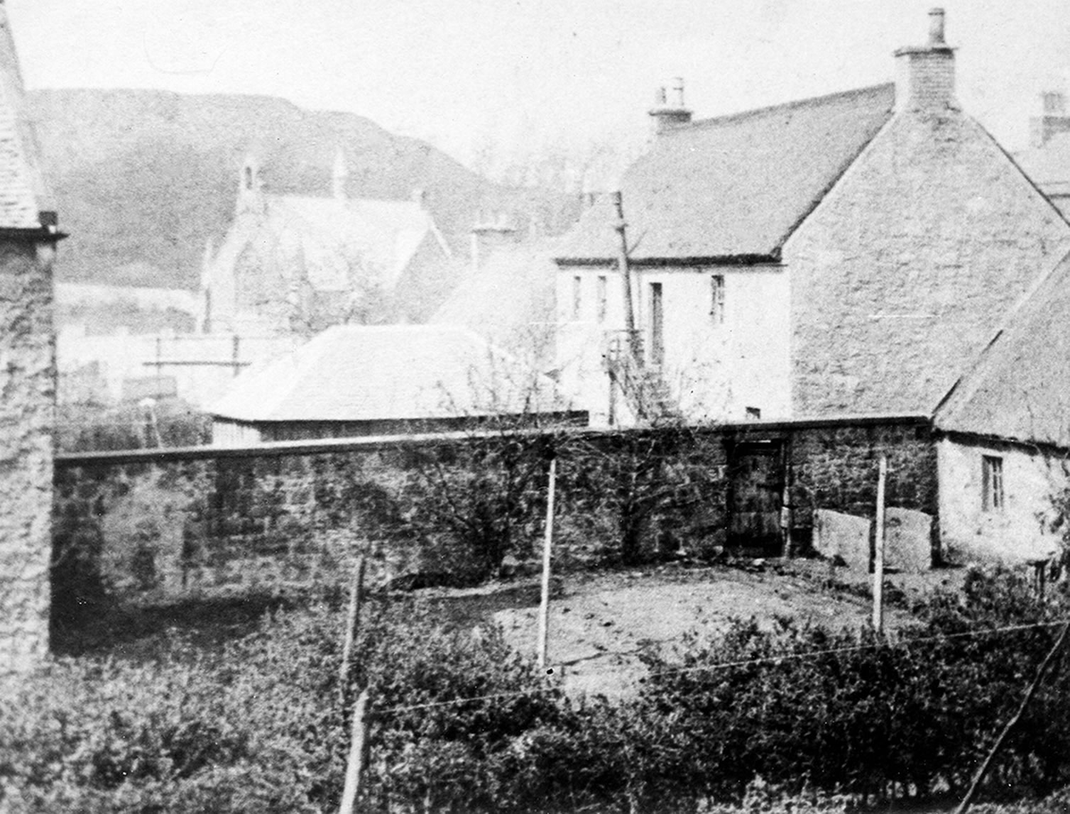
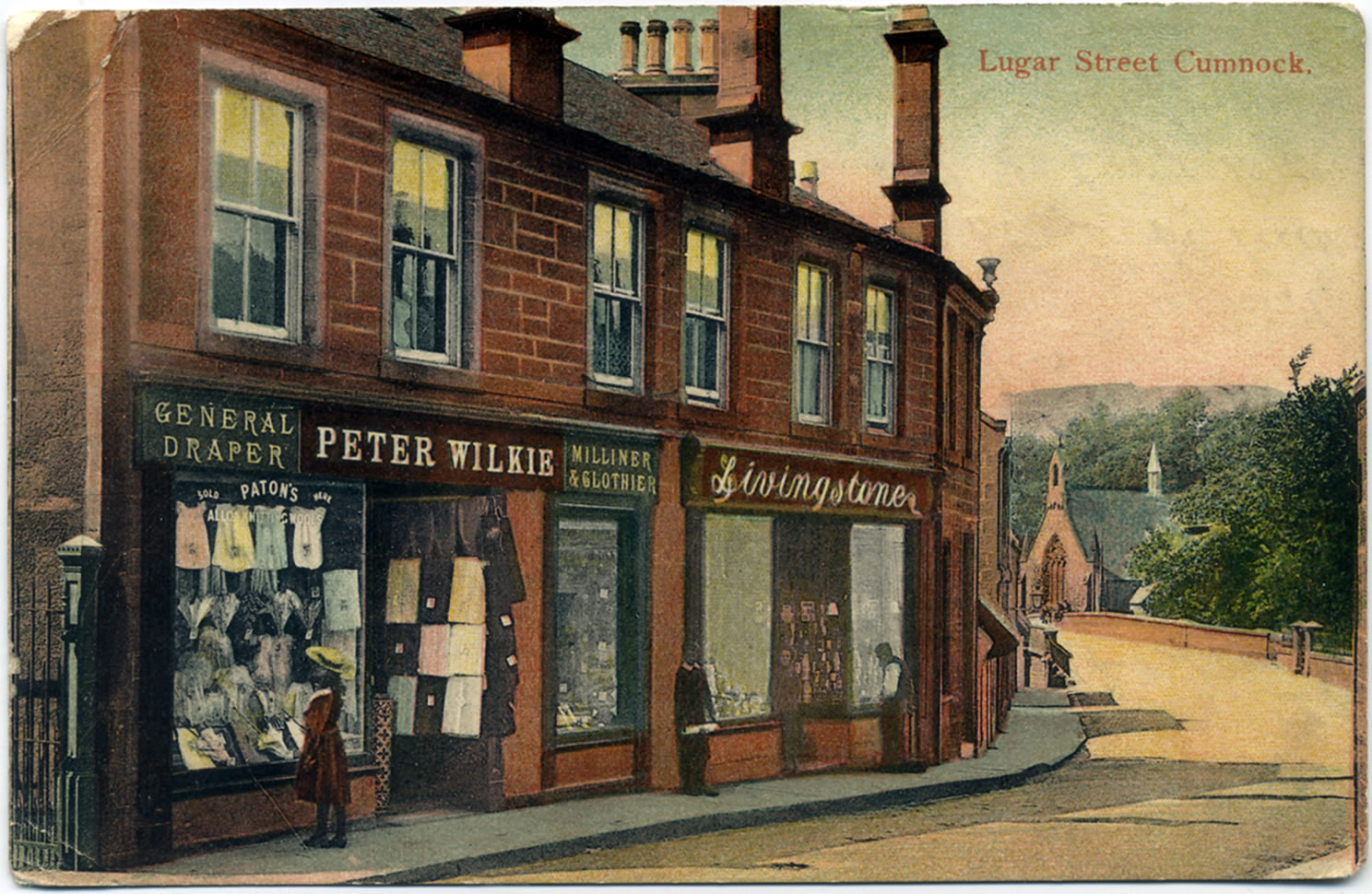
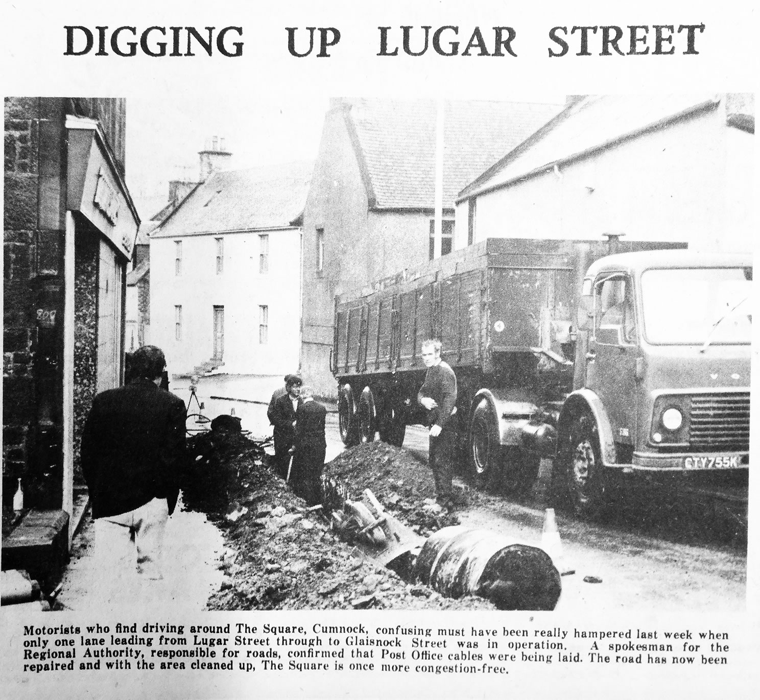
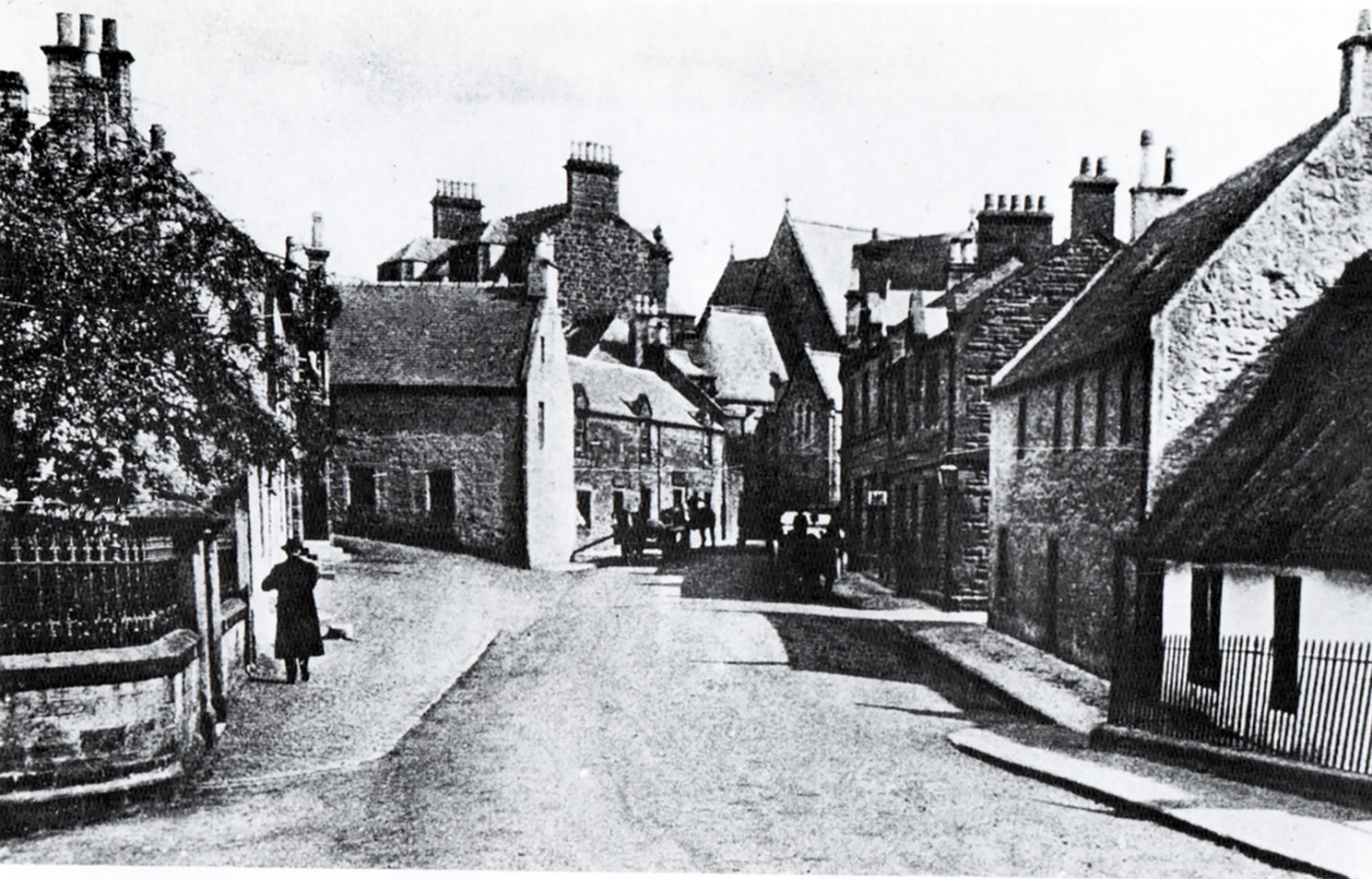
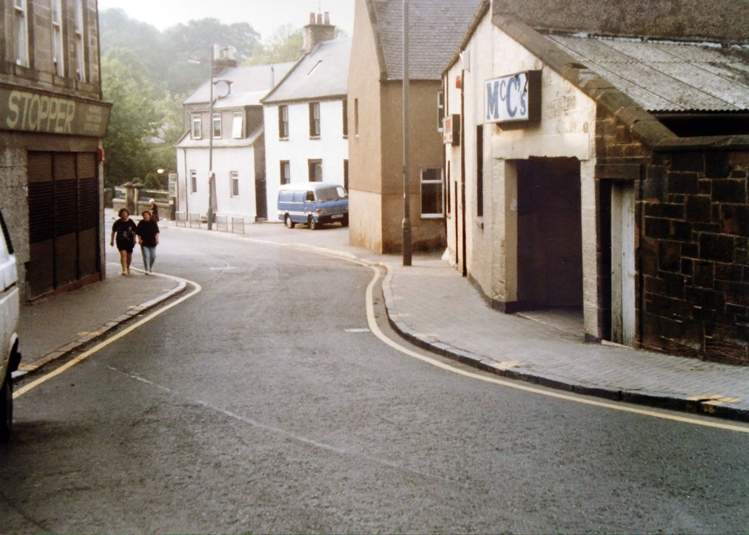
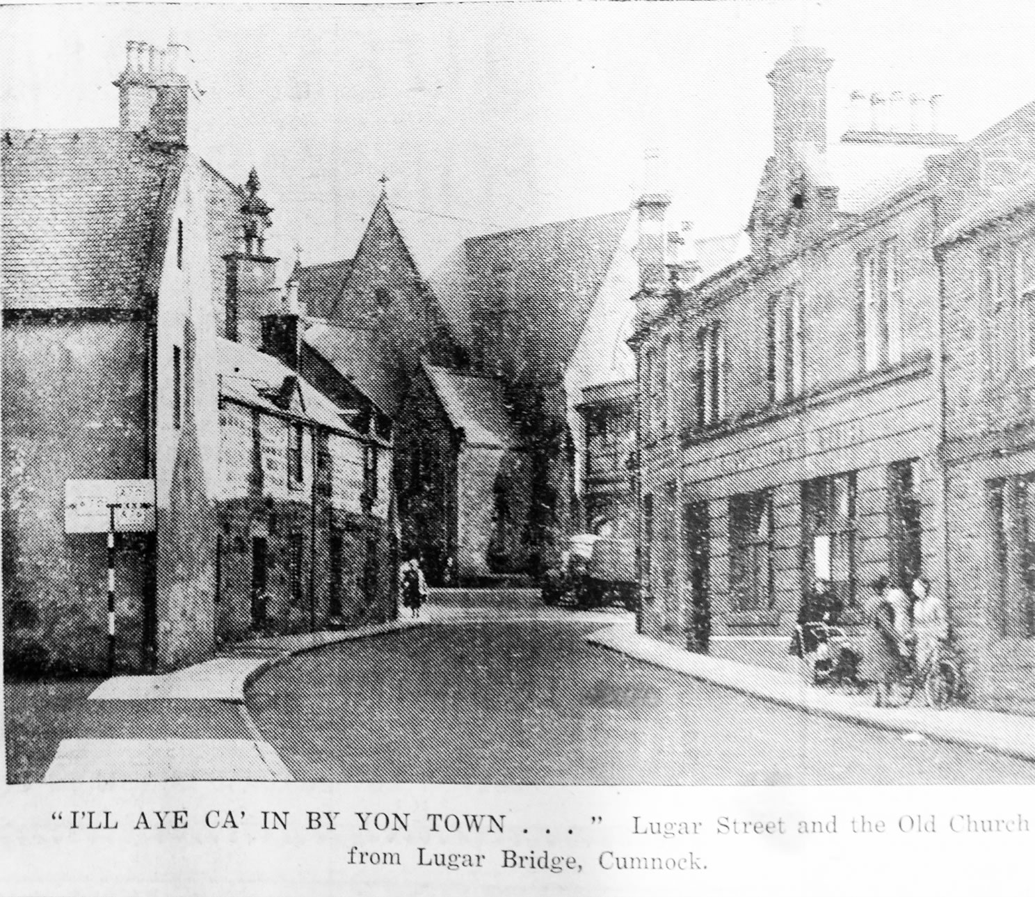
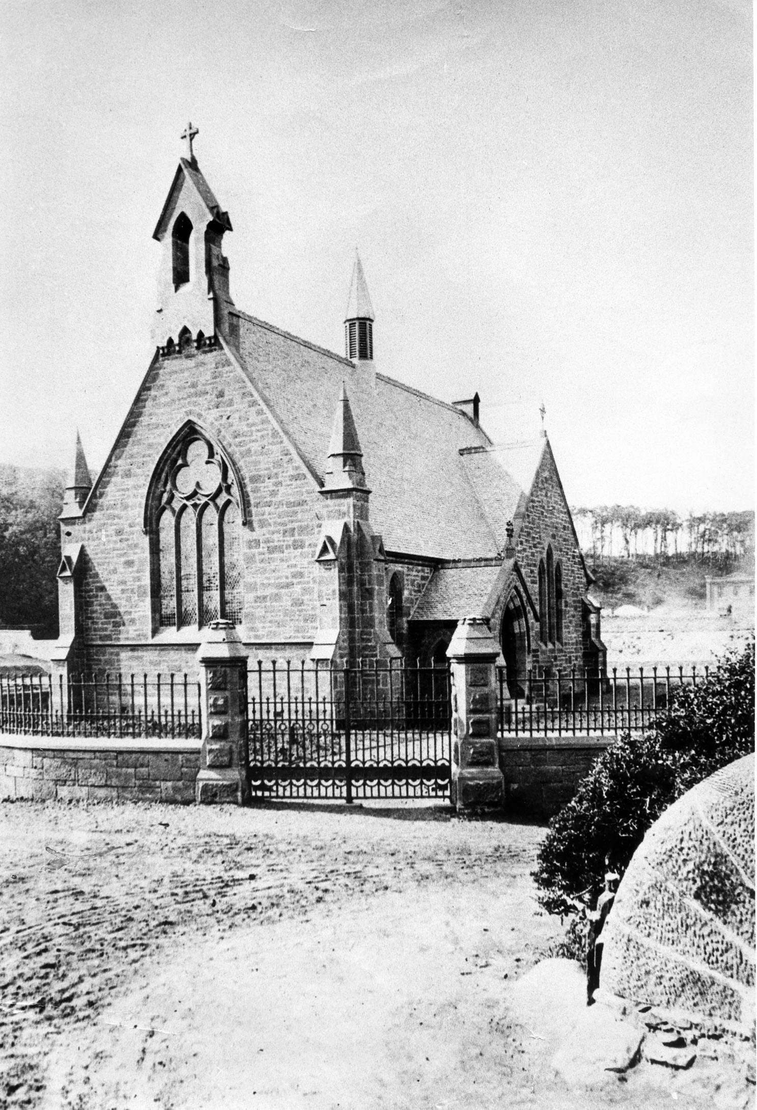
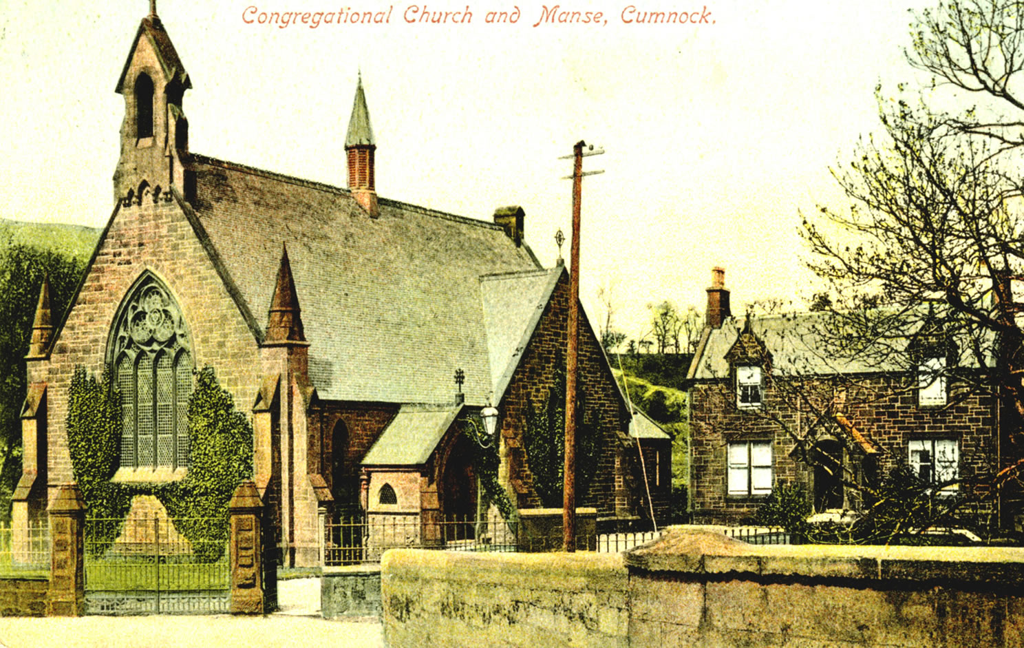
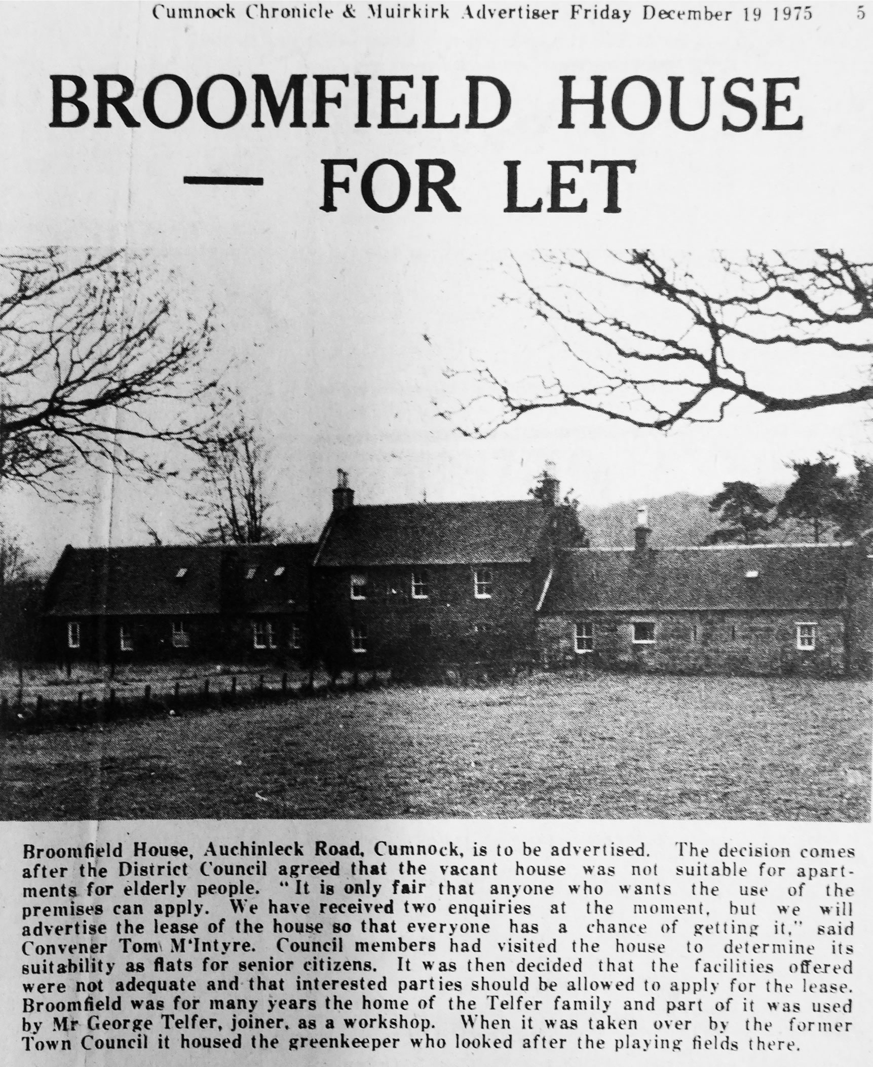
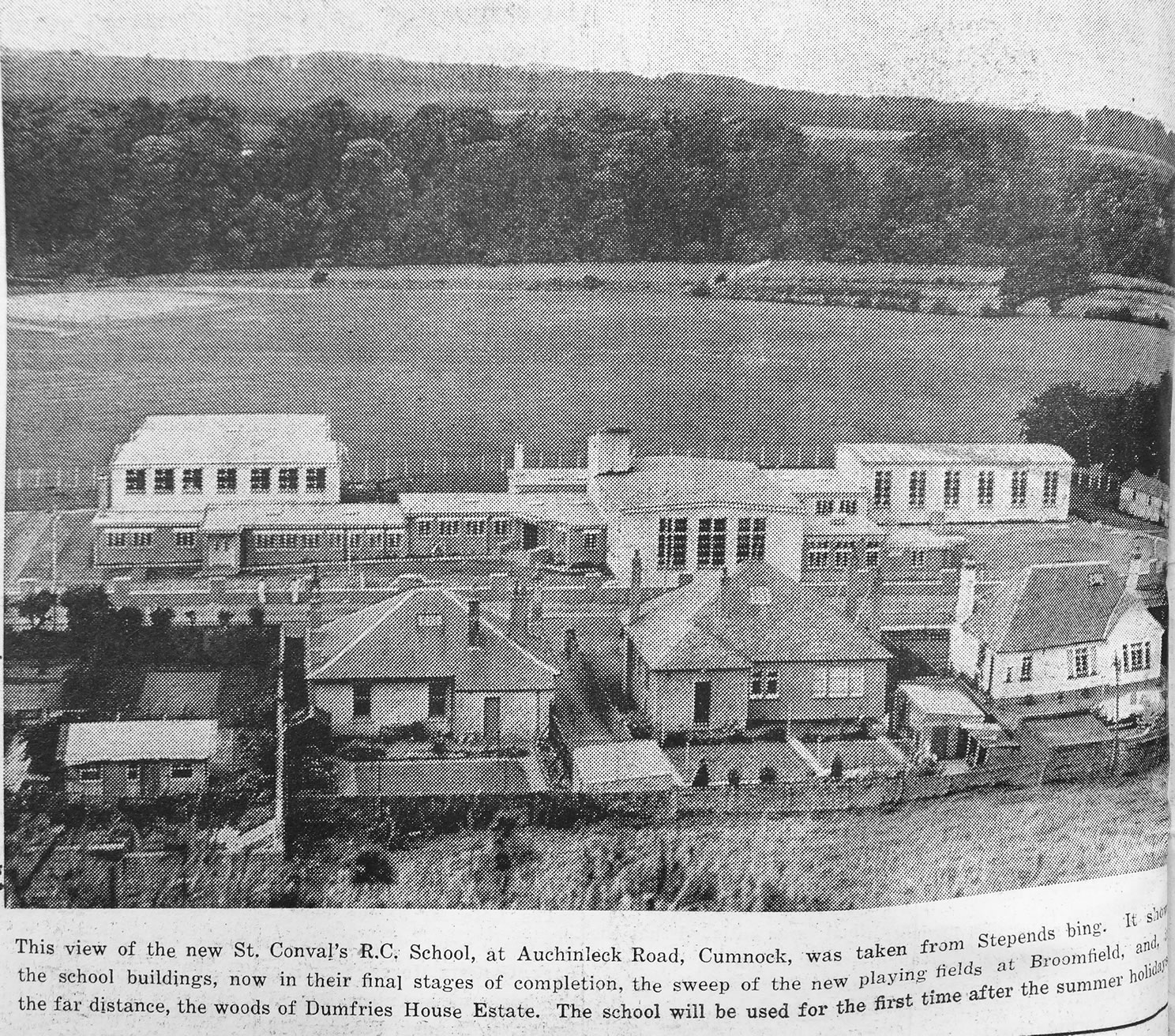
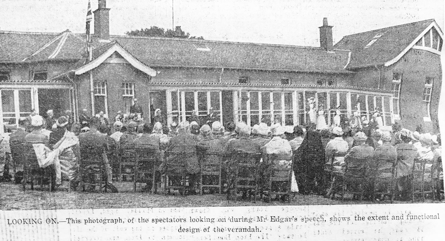
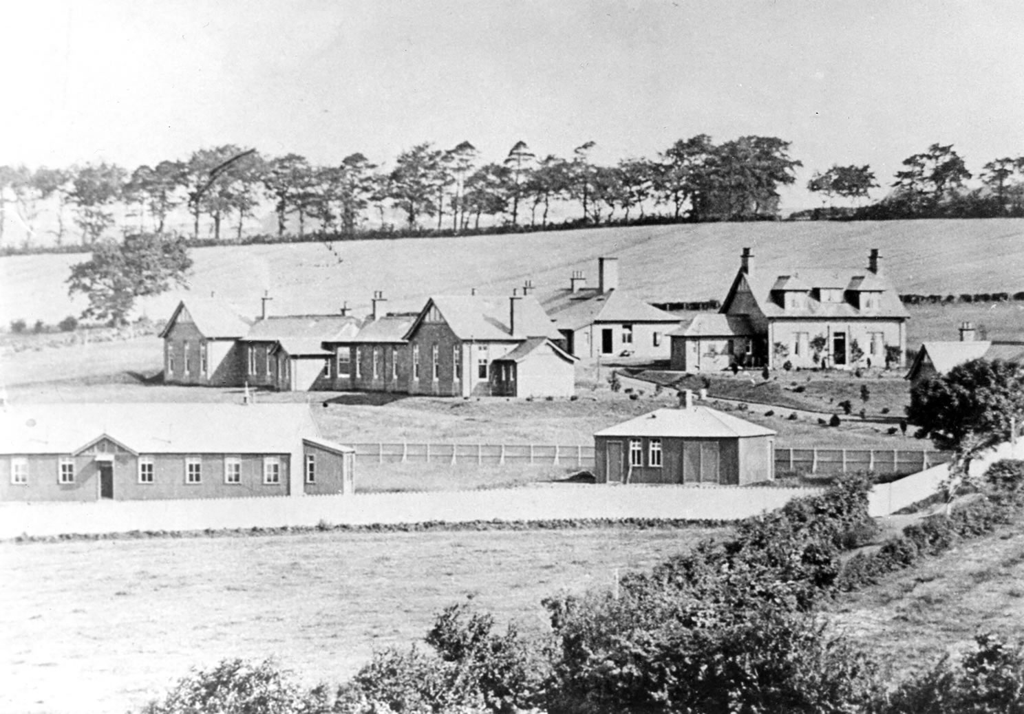
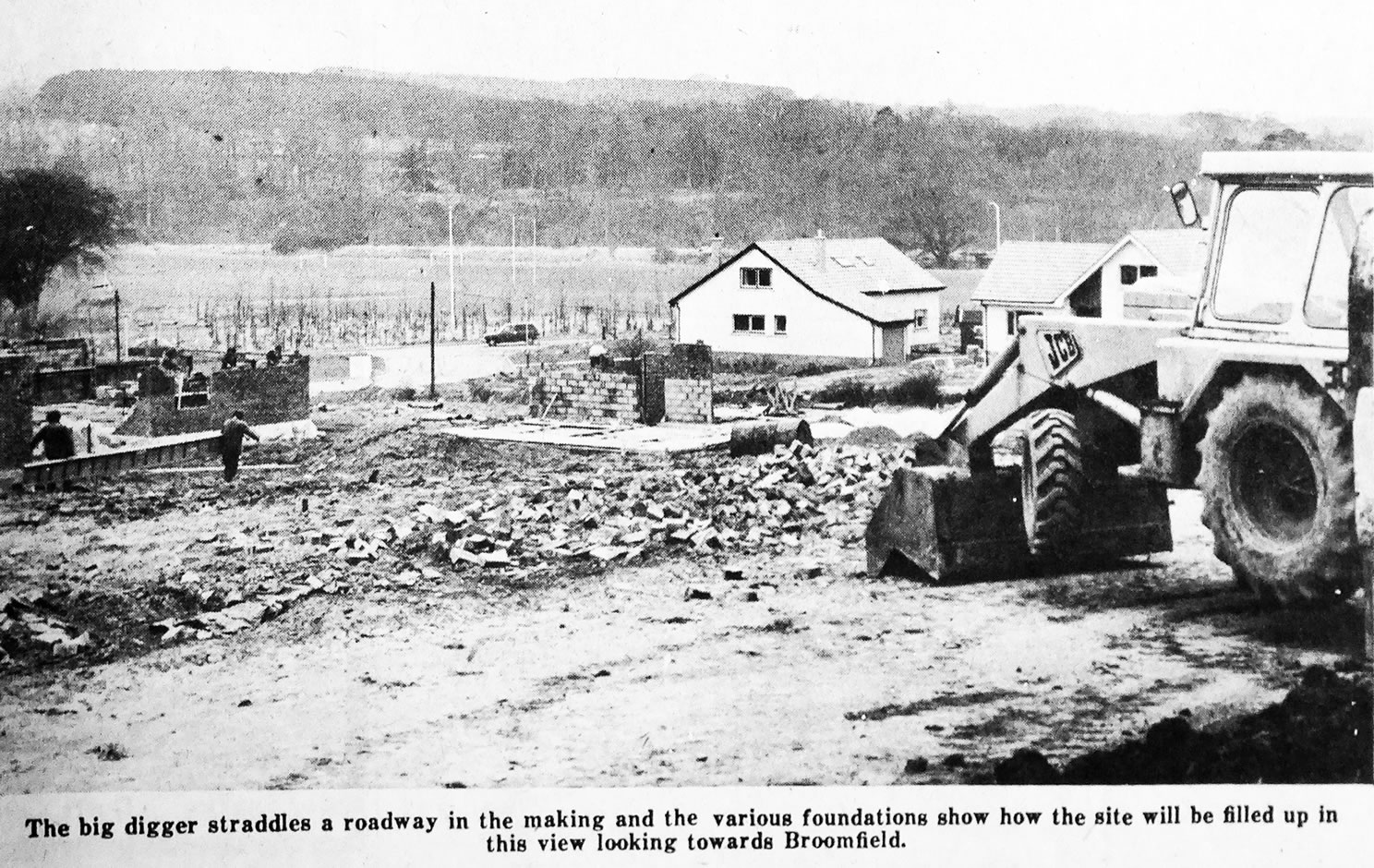
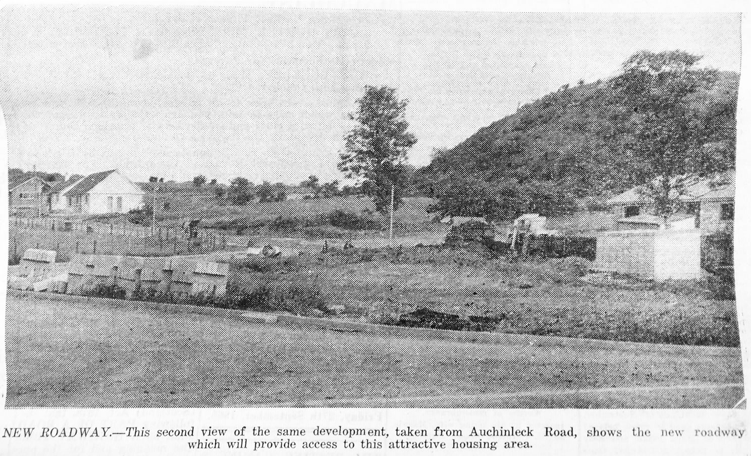
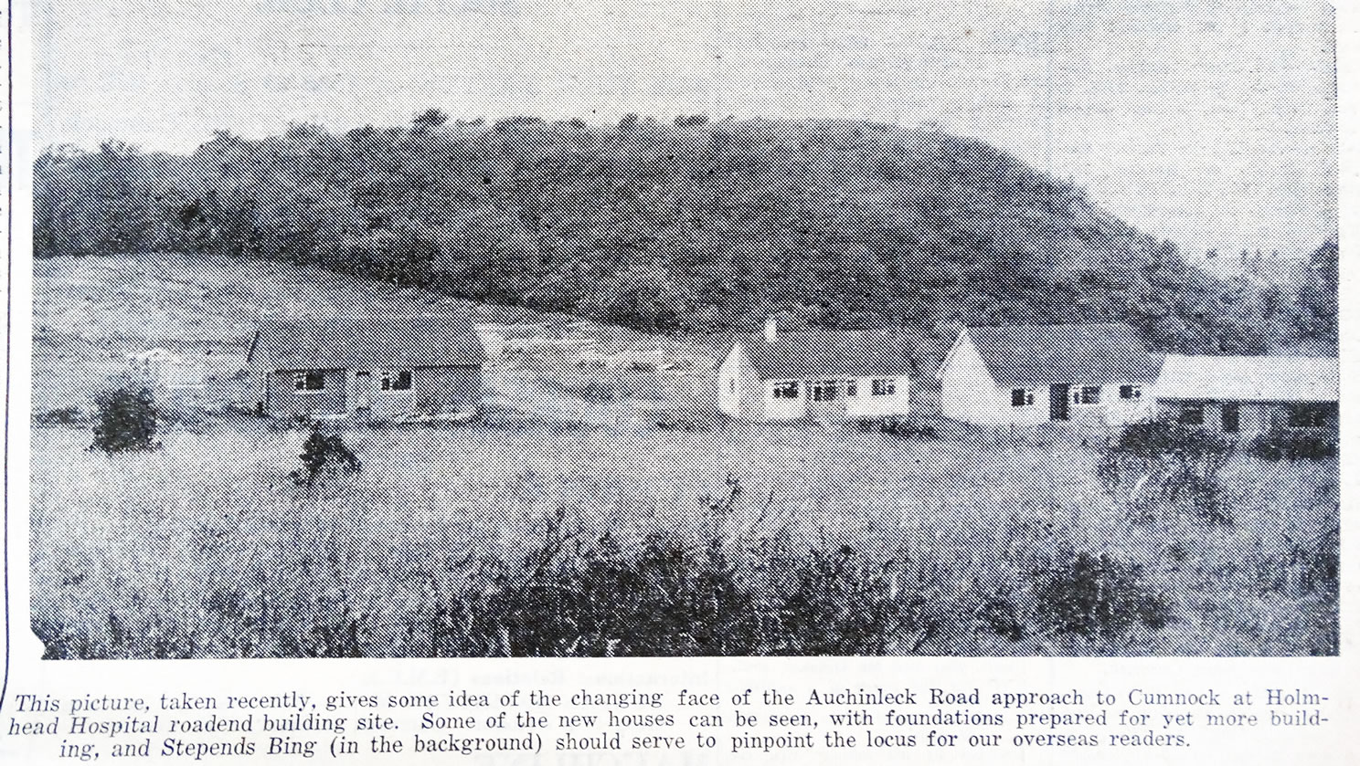
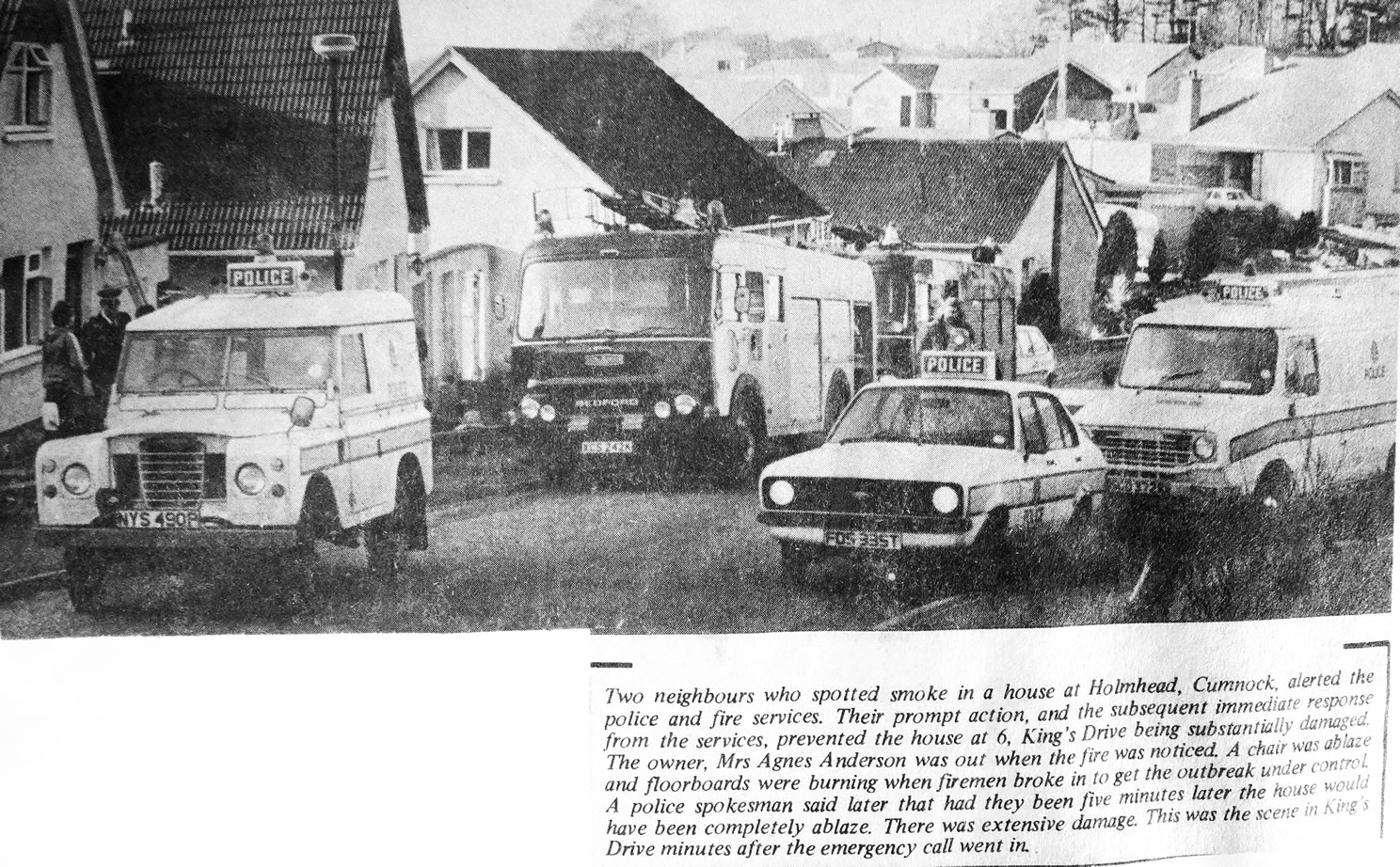
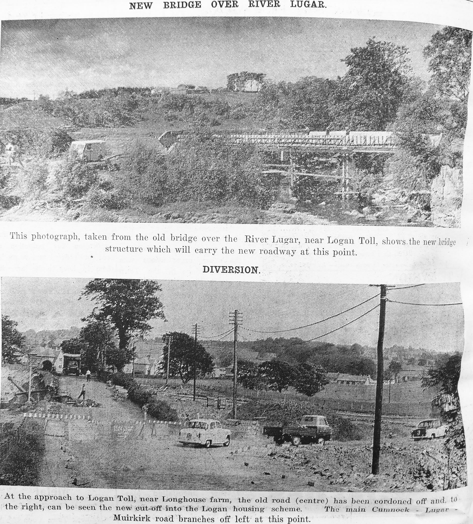
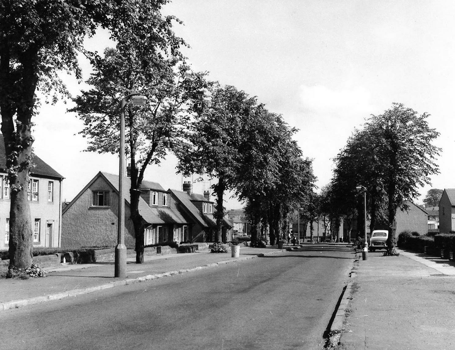
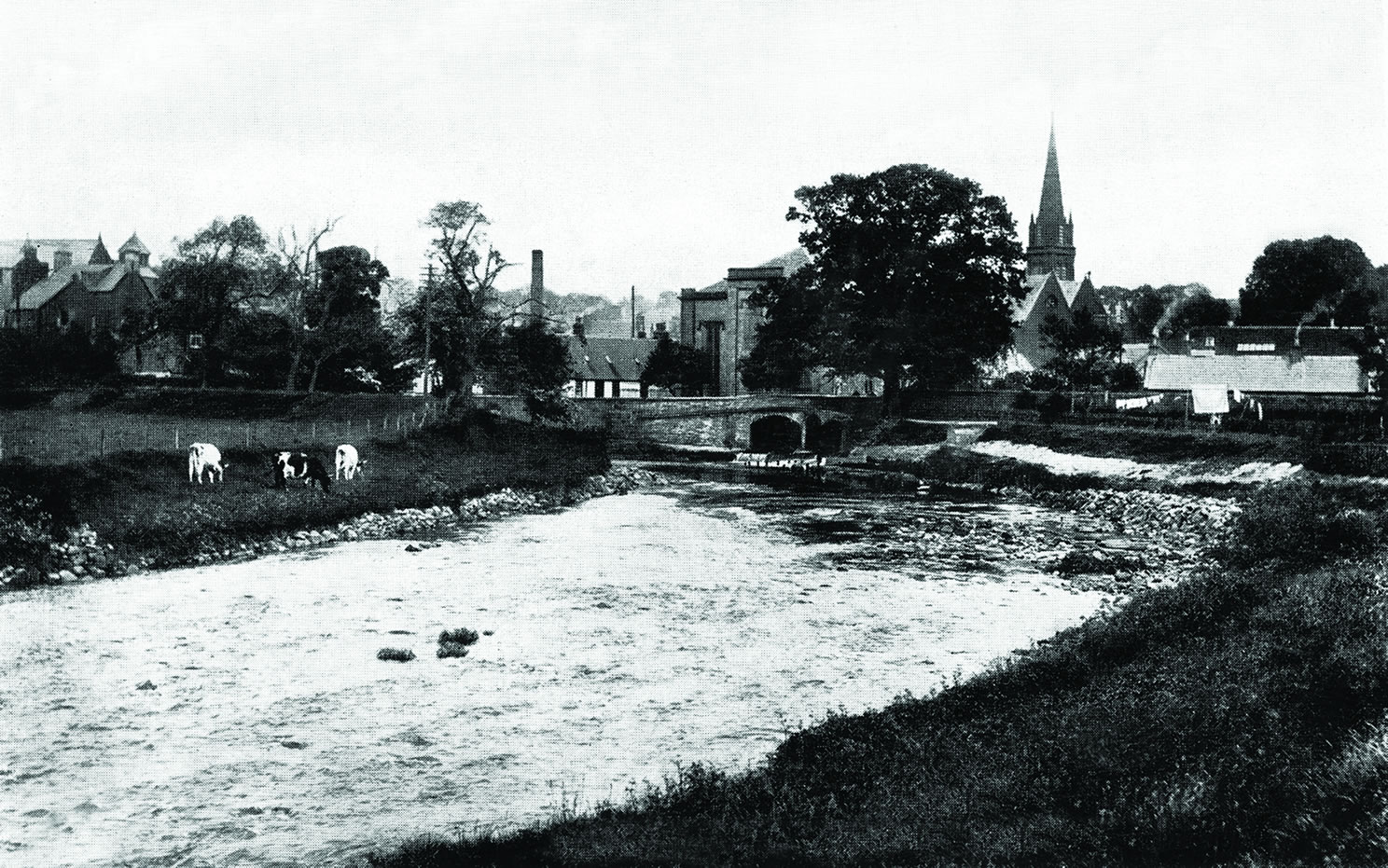
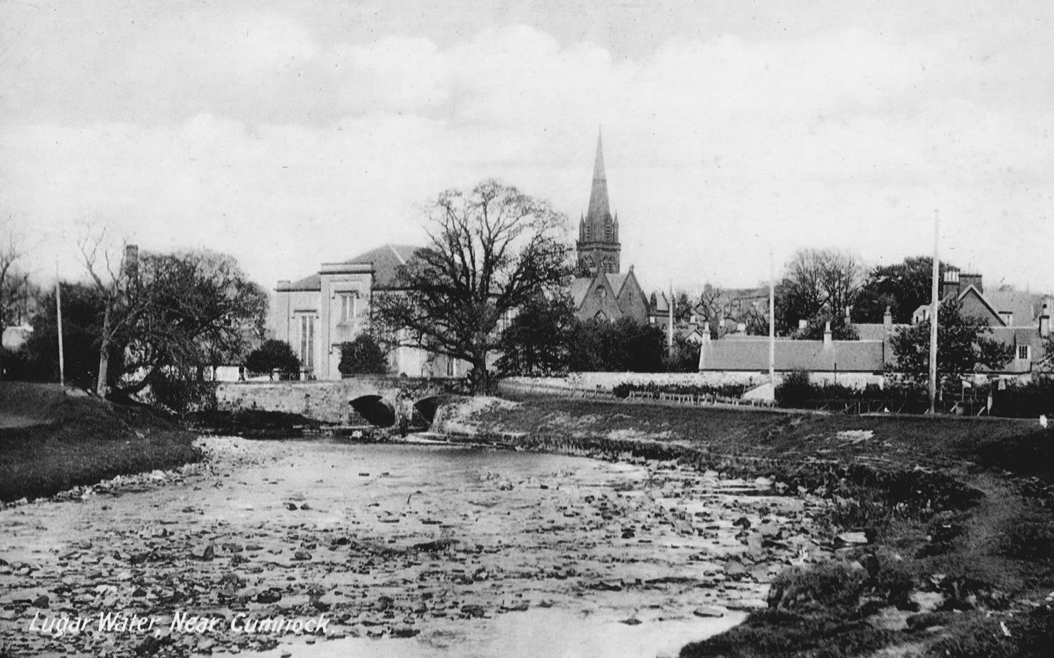
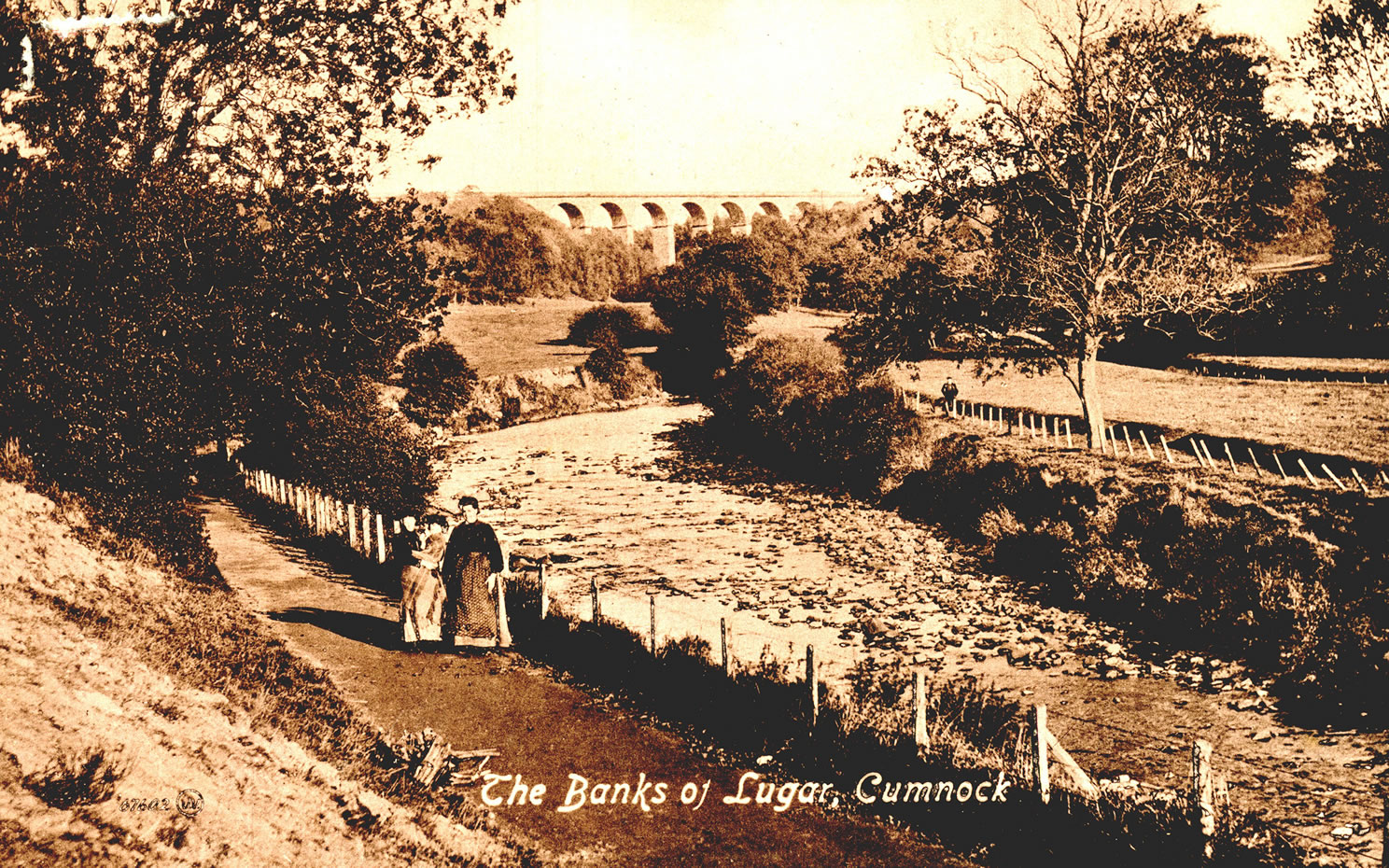
A selection of views and articles about Lugar Street, Auchinleck Road and the surrounding area.
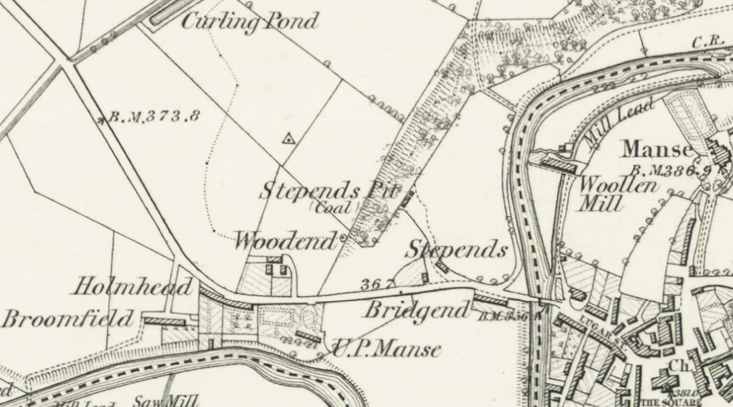
Lugar Street and Auchinleck Road map 1860
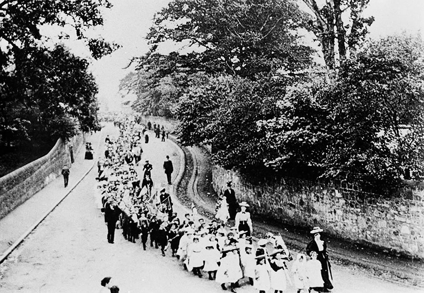
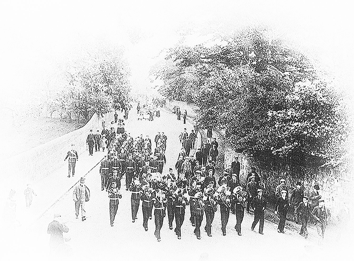
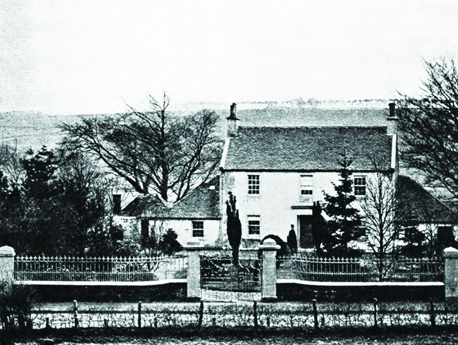
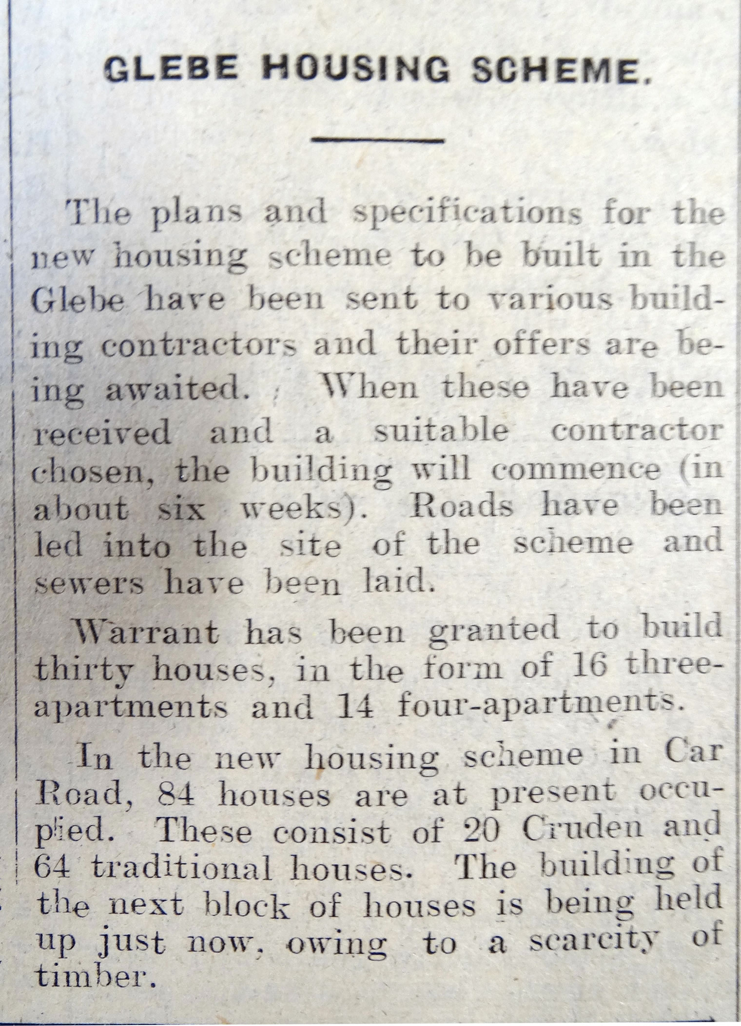
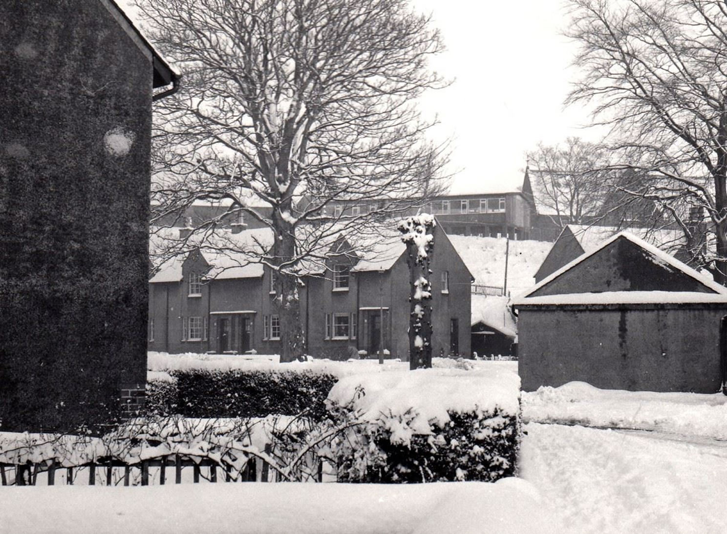
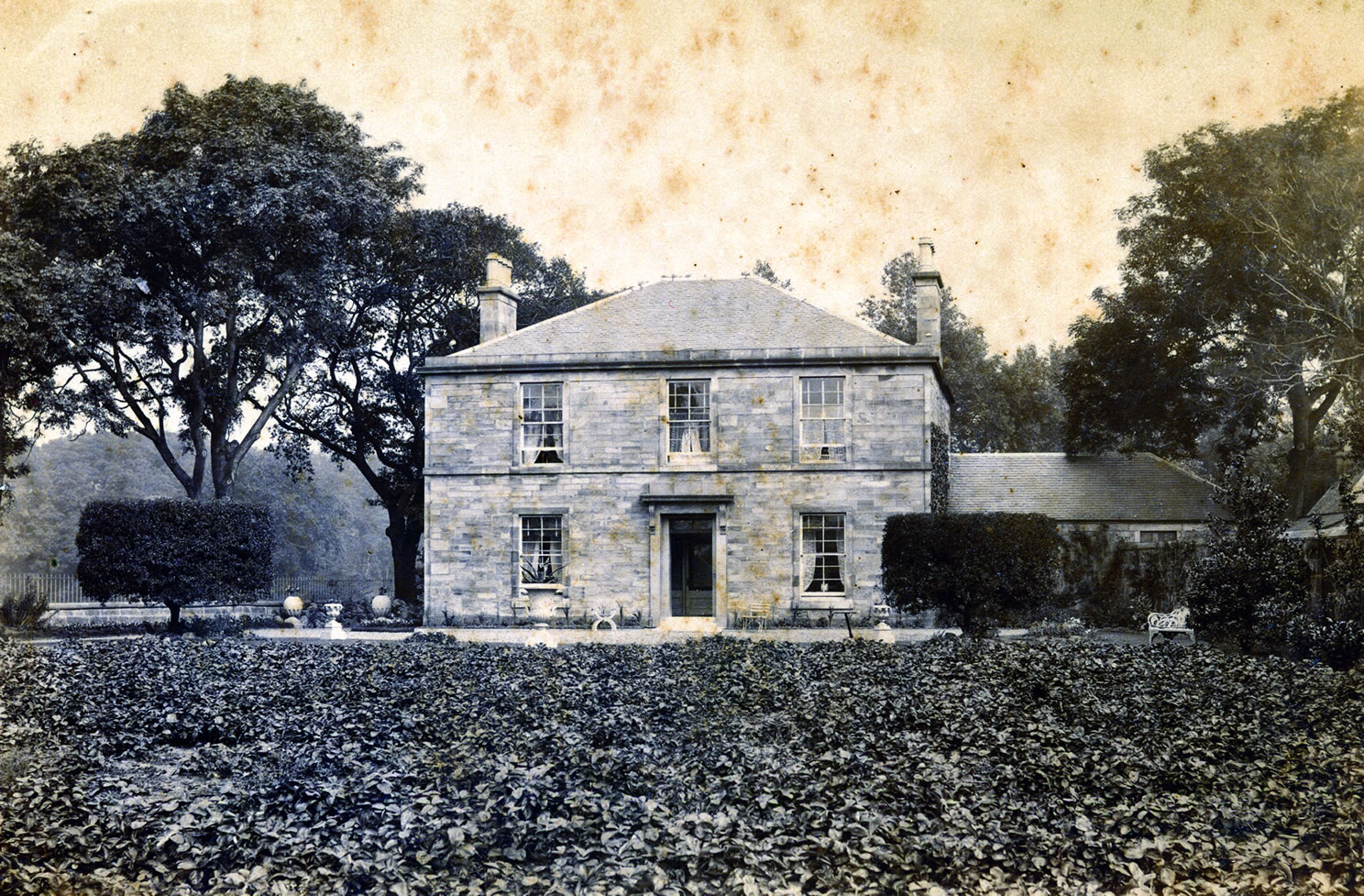
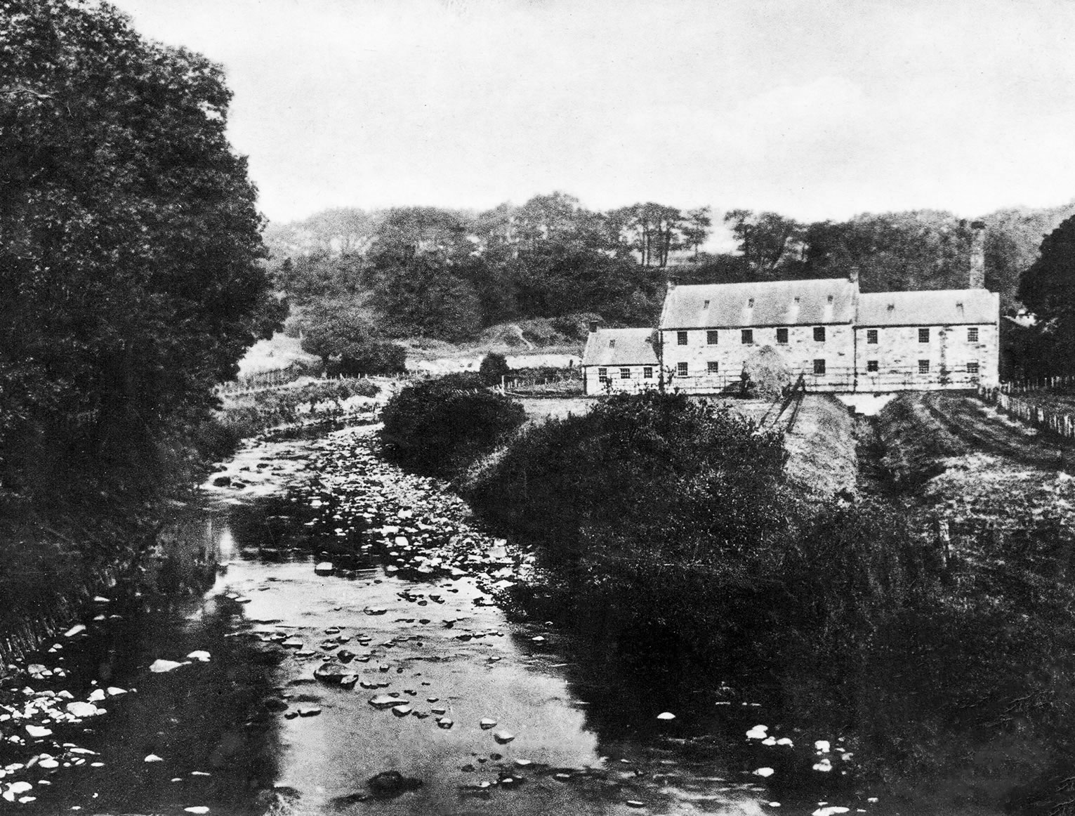
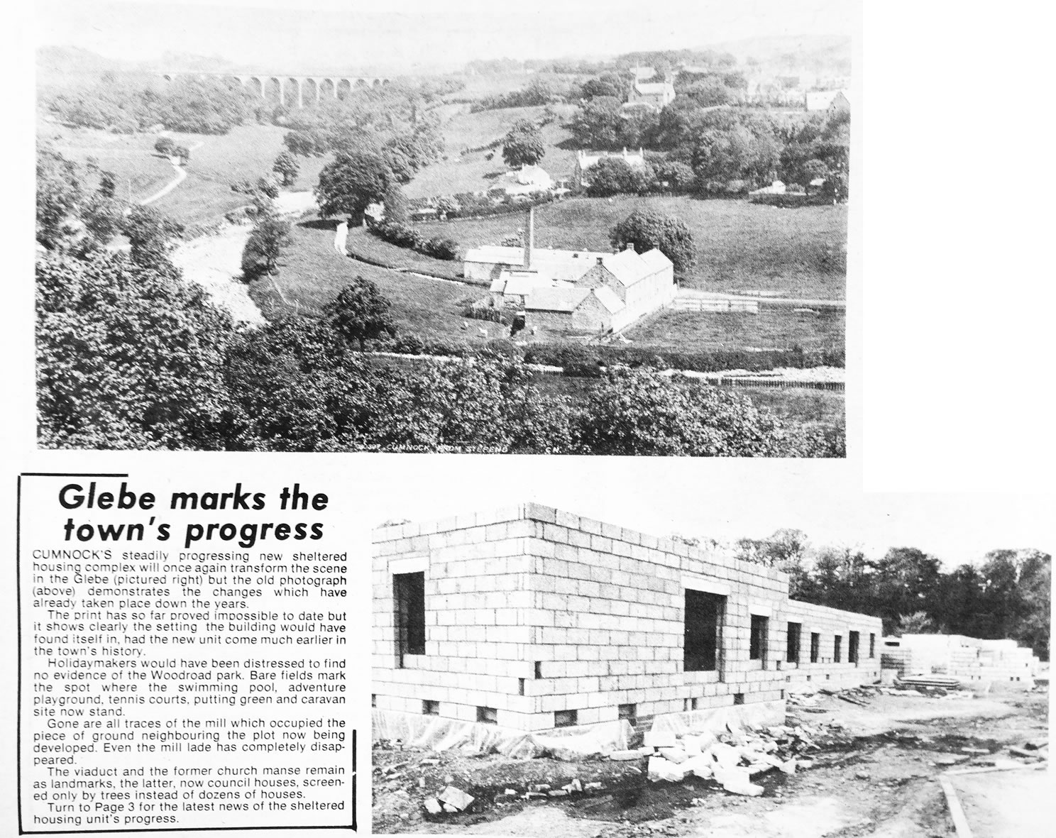
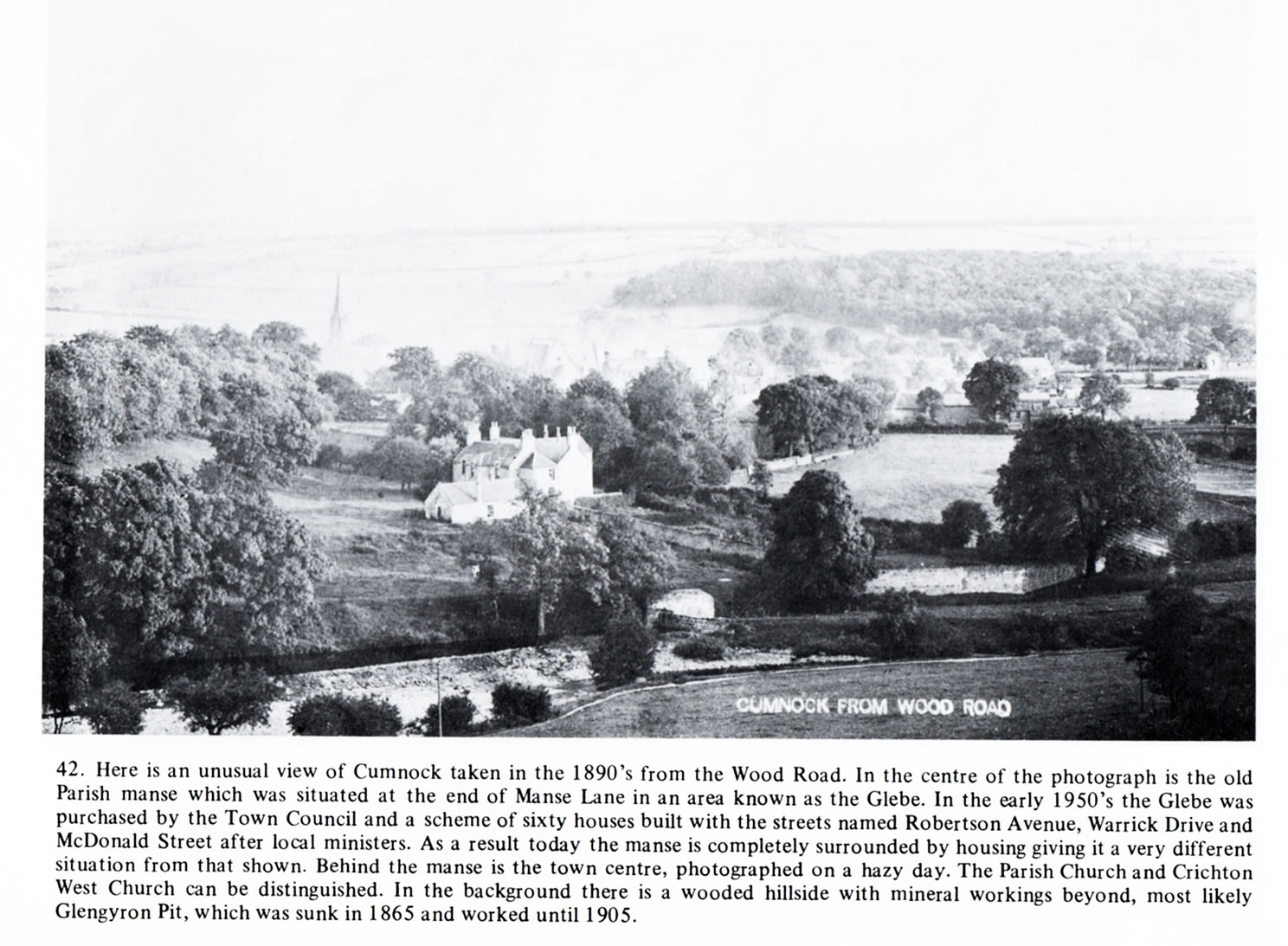
A selection of views and articles about the Glebe and the surrounding area.
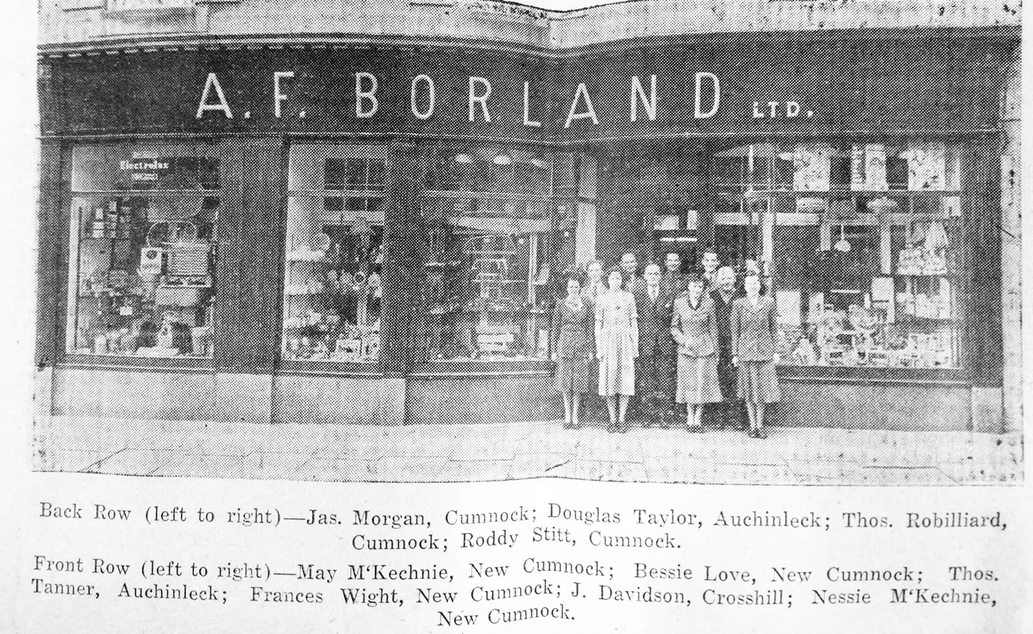
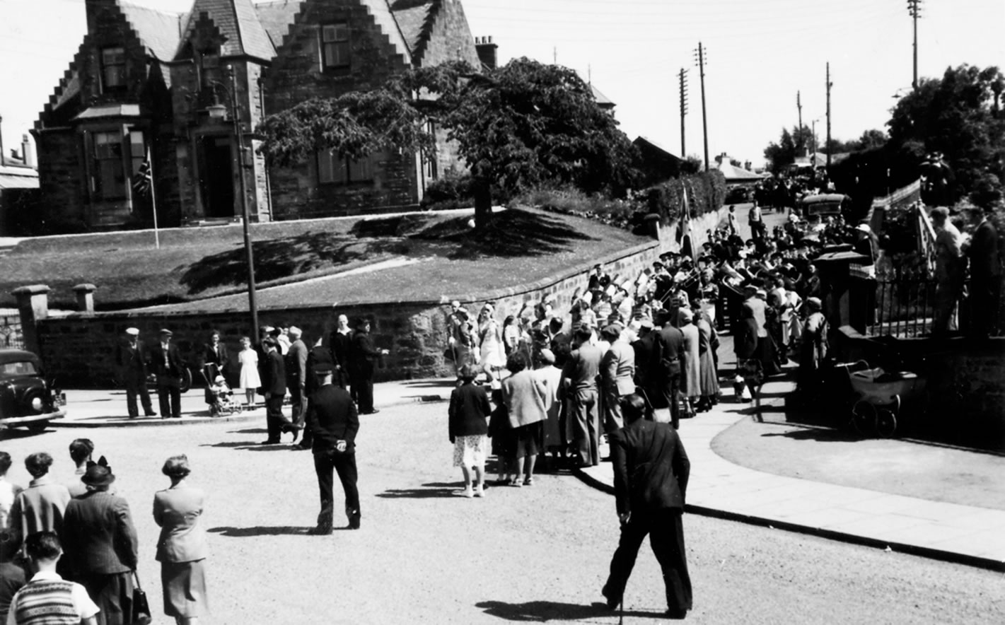
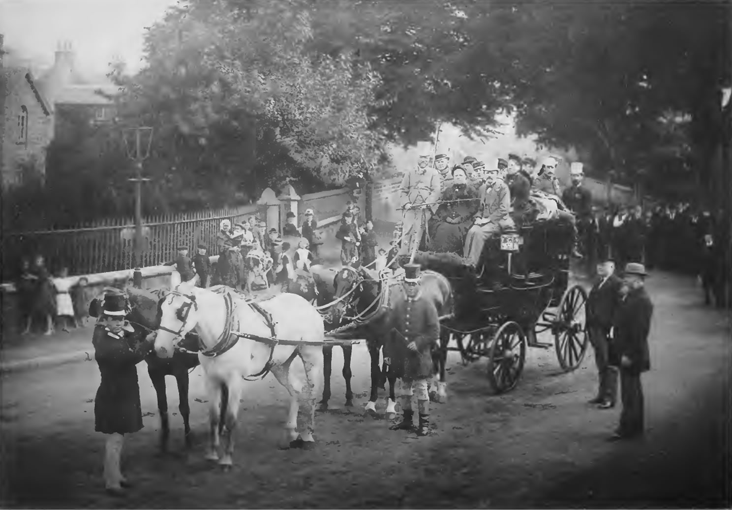
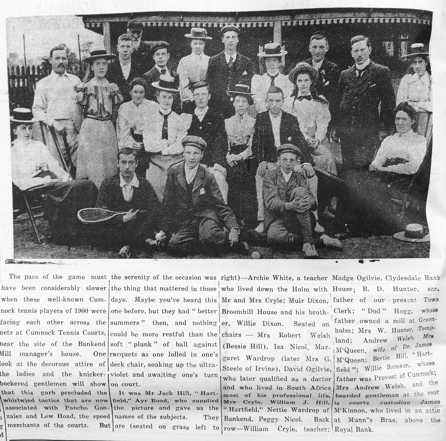
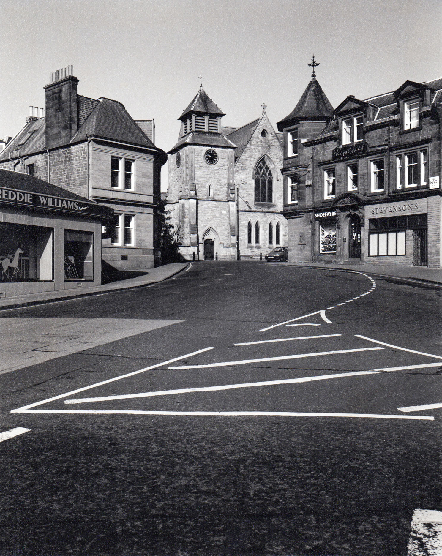
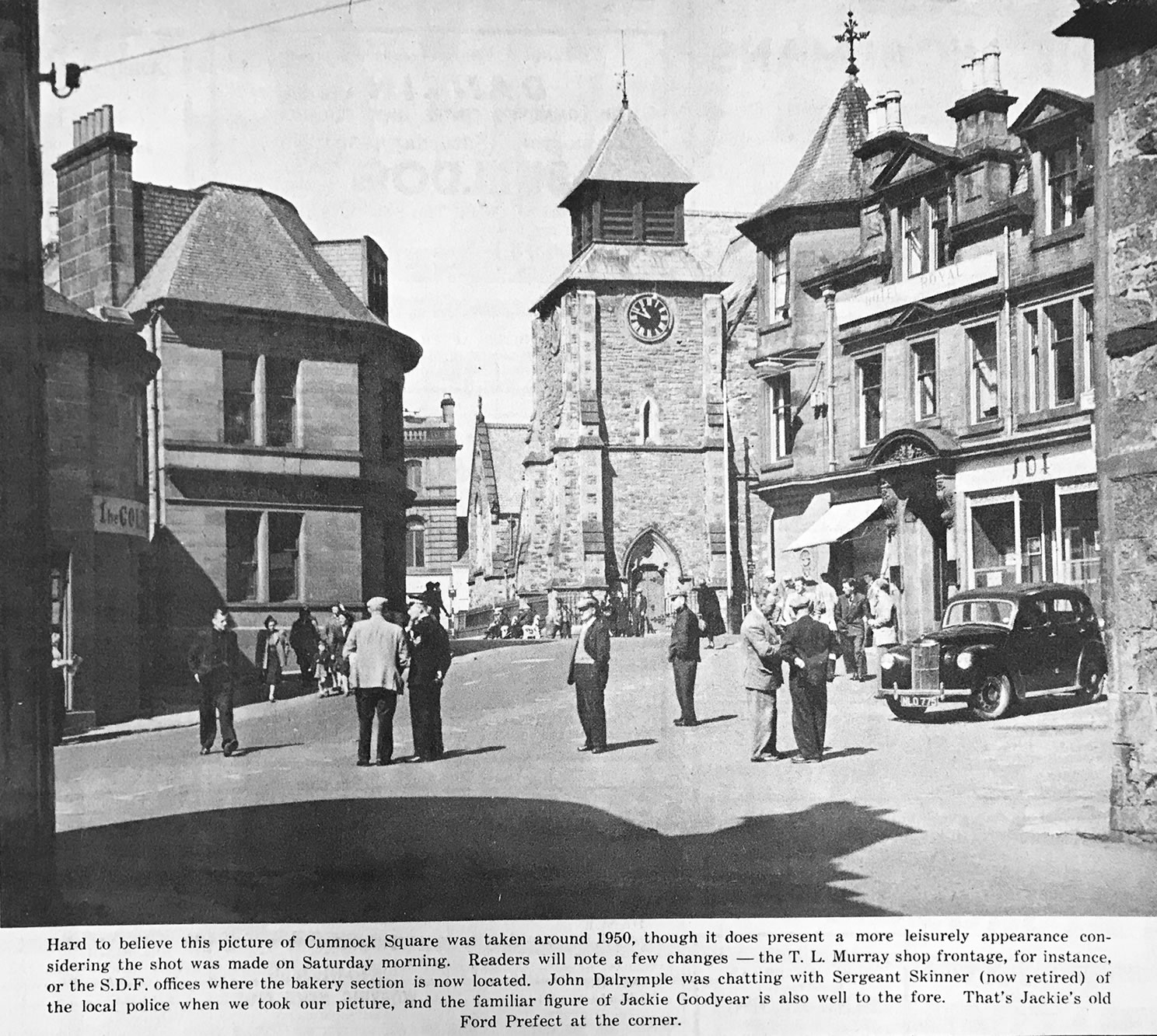
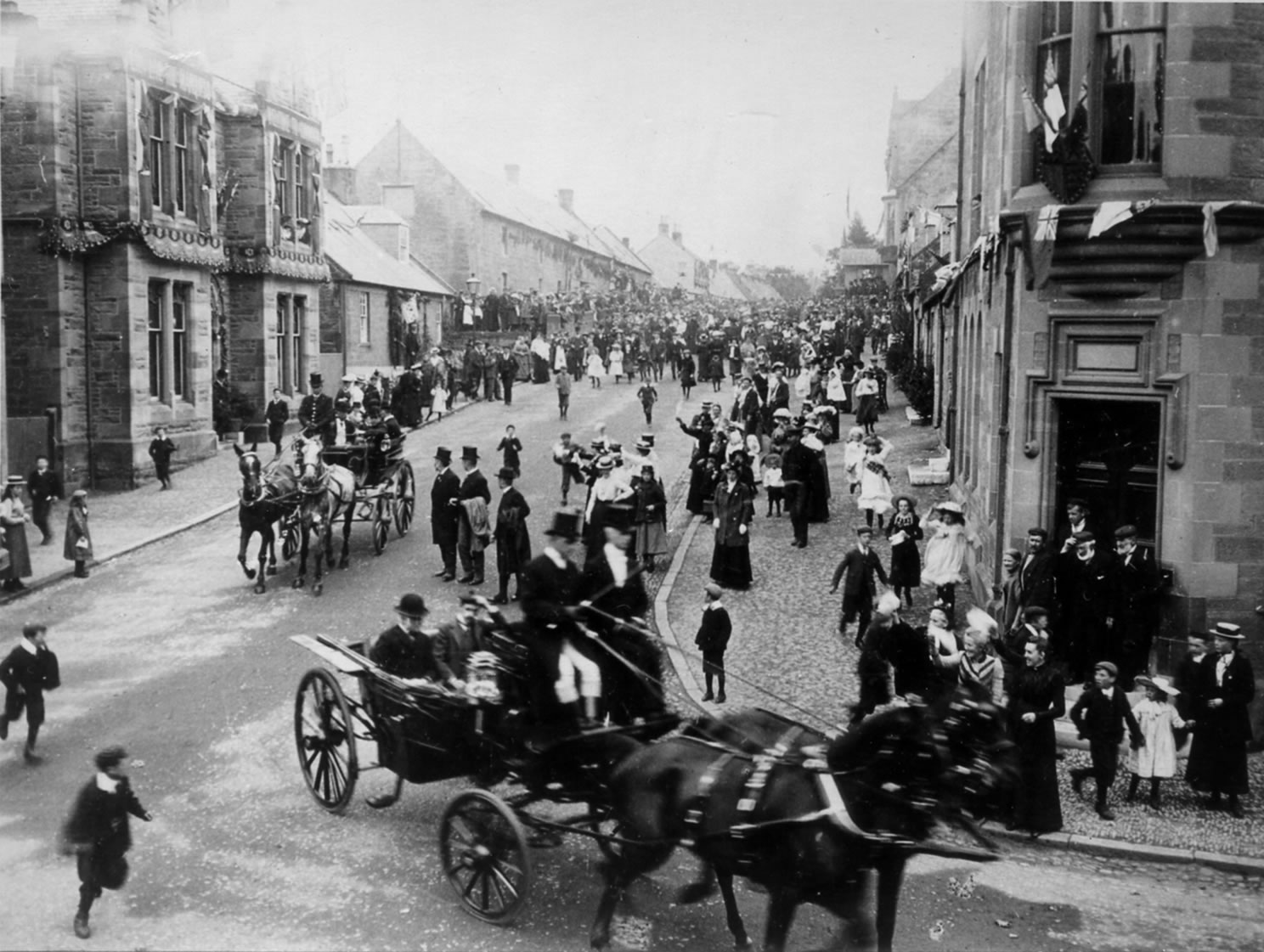
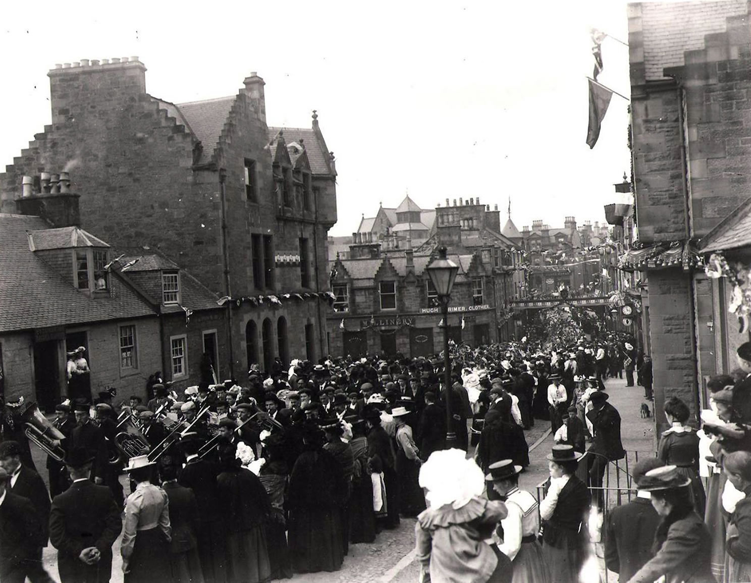
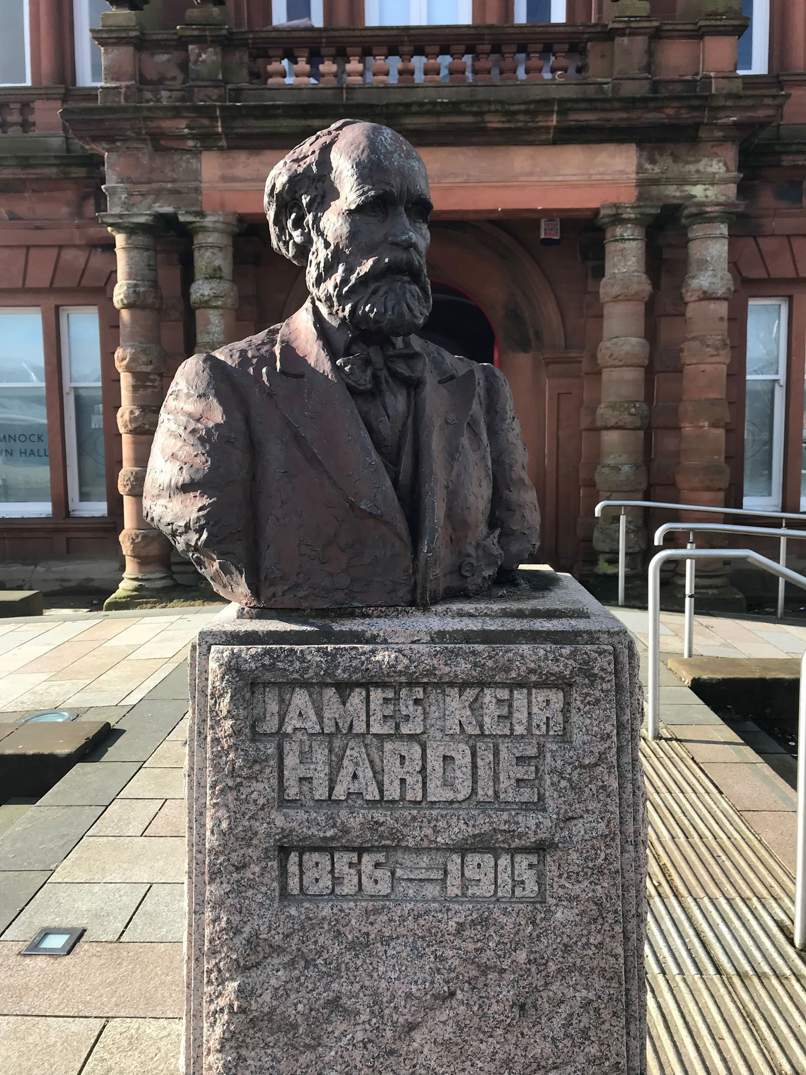
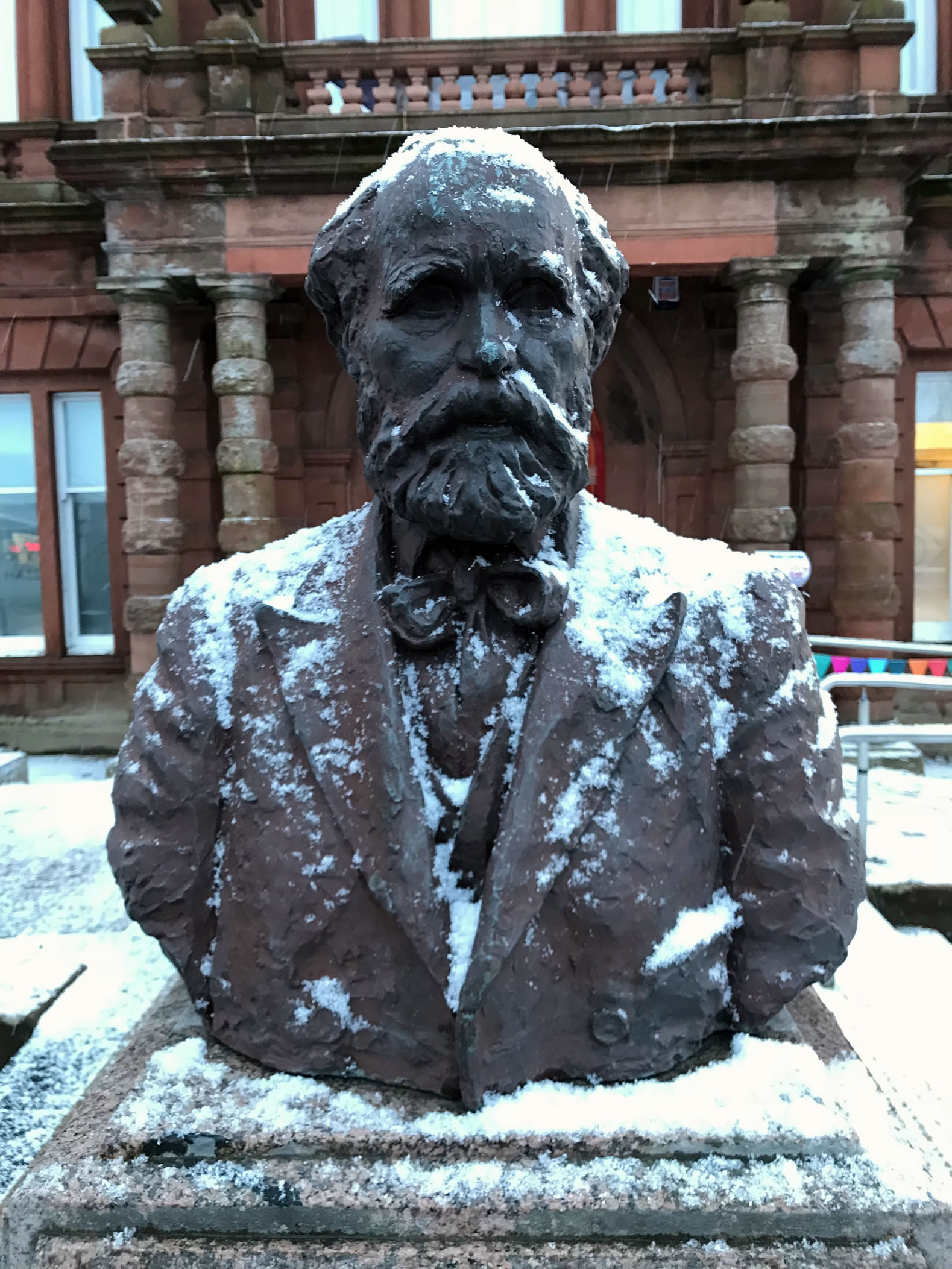
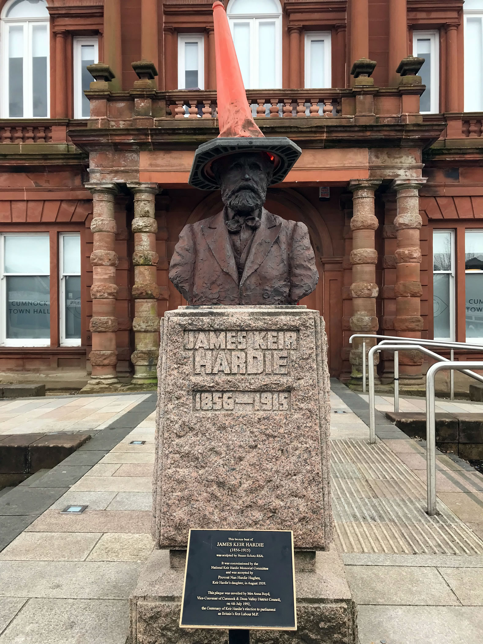
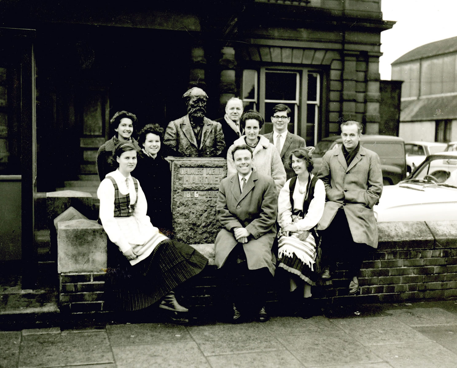
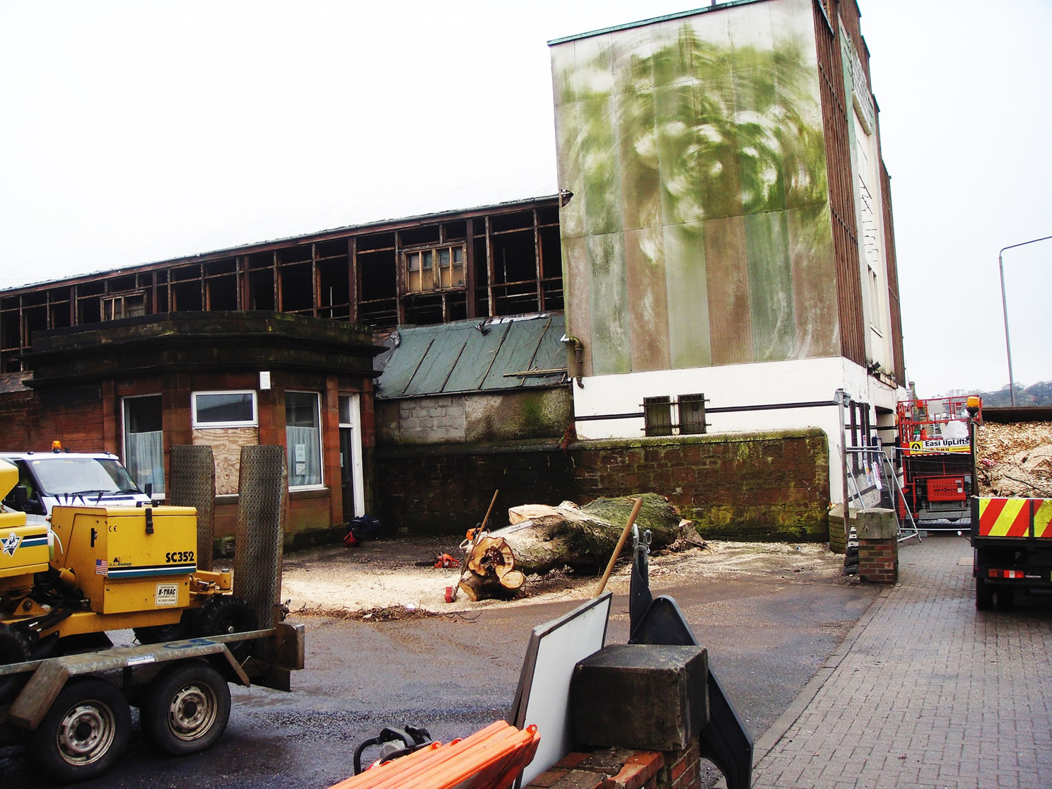
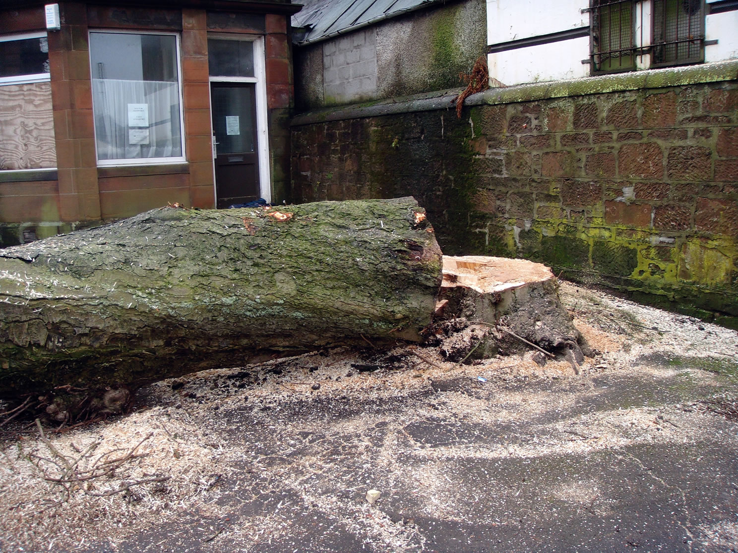
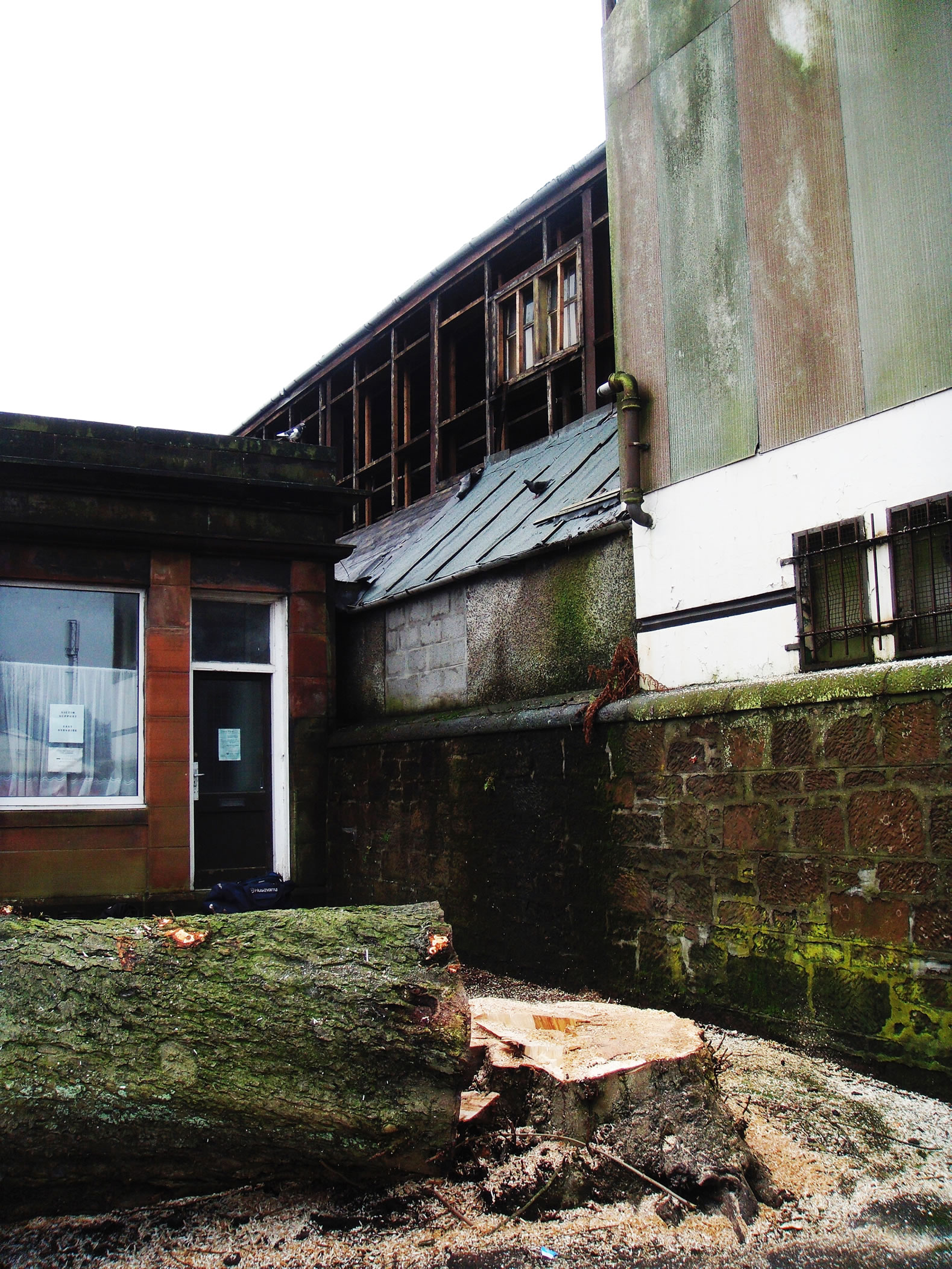
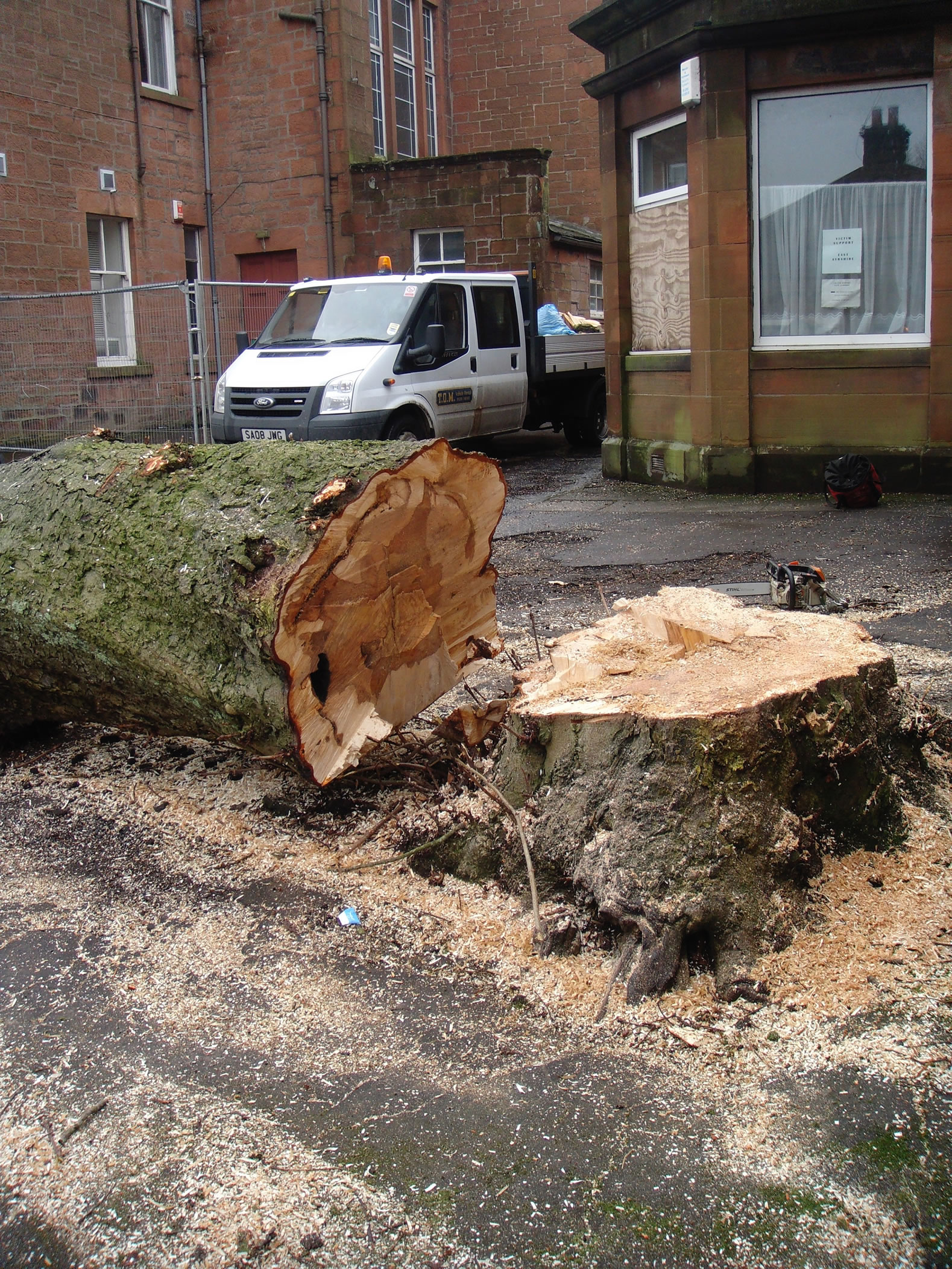
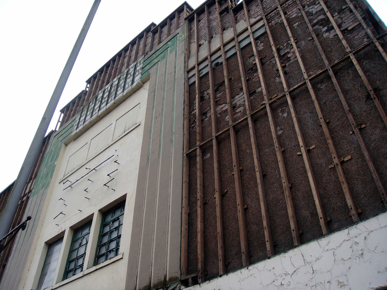
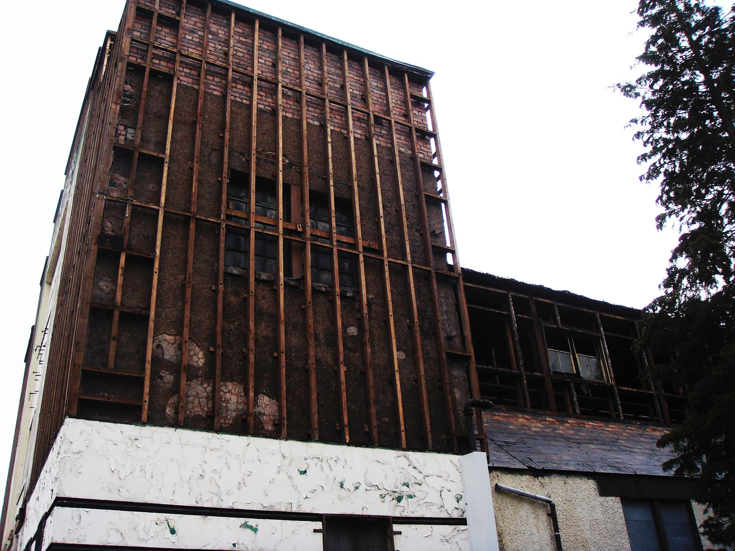
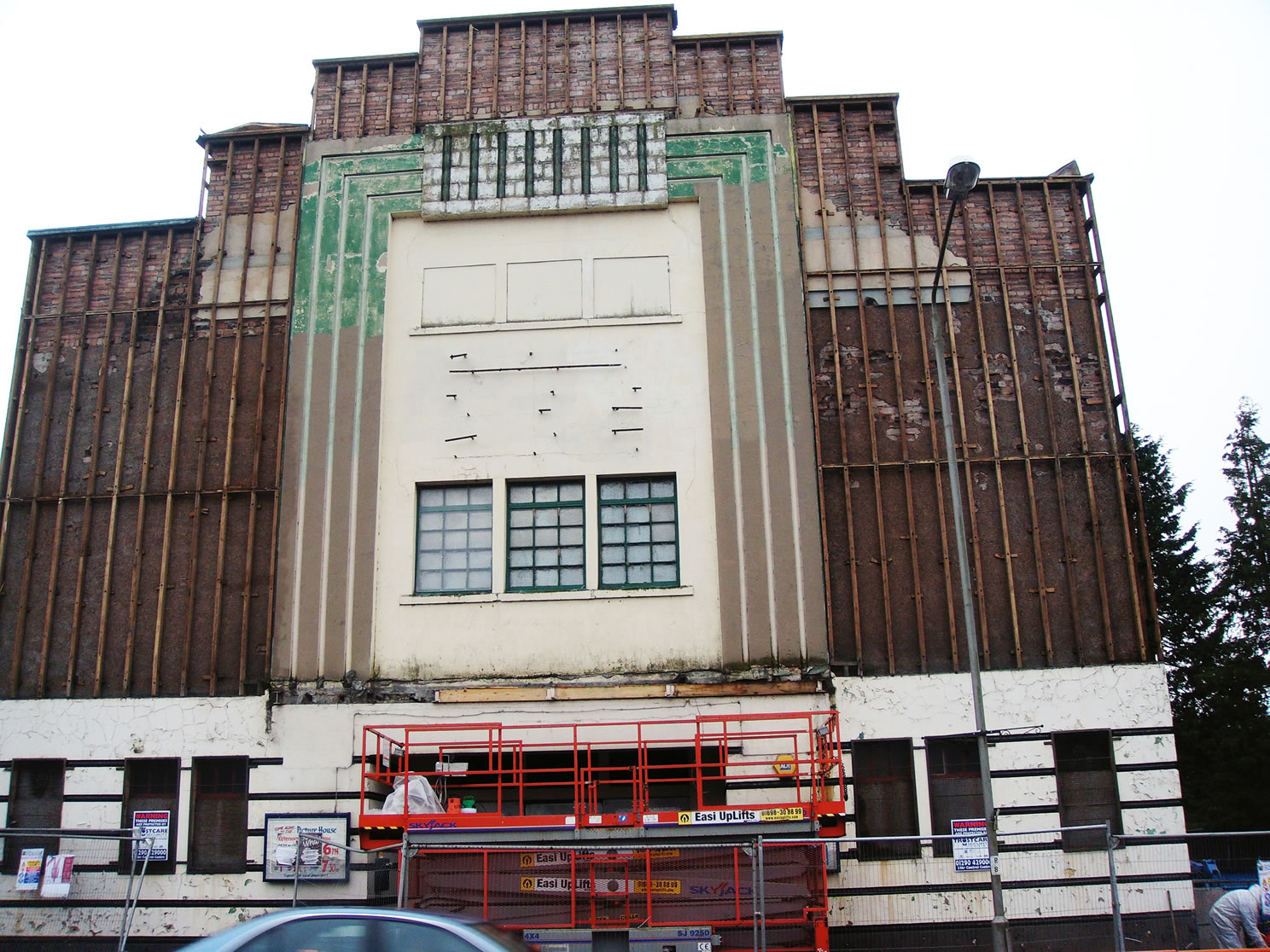
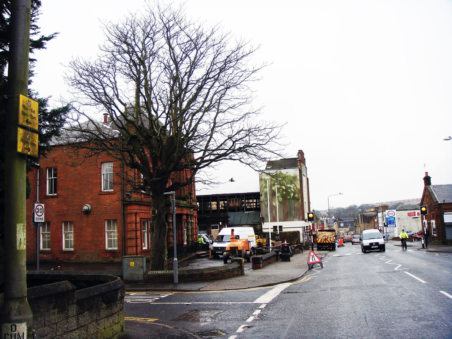
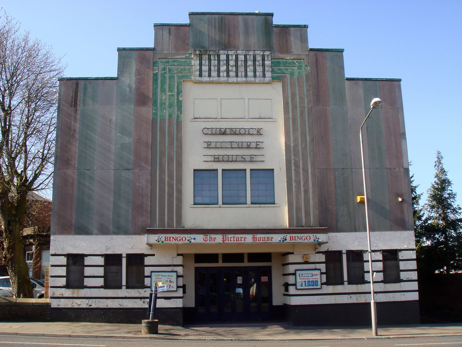
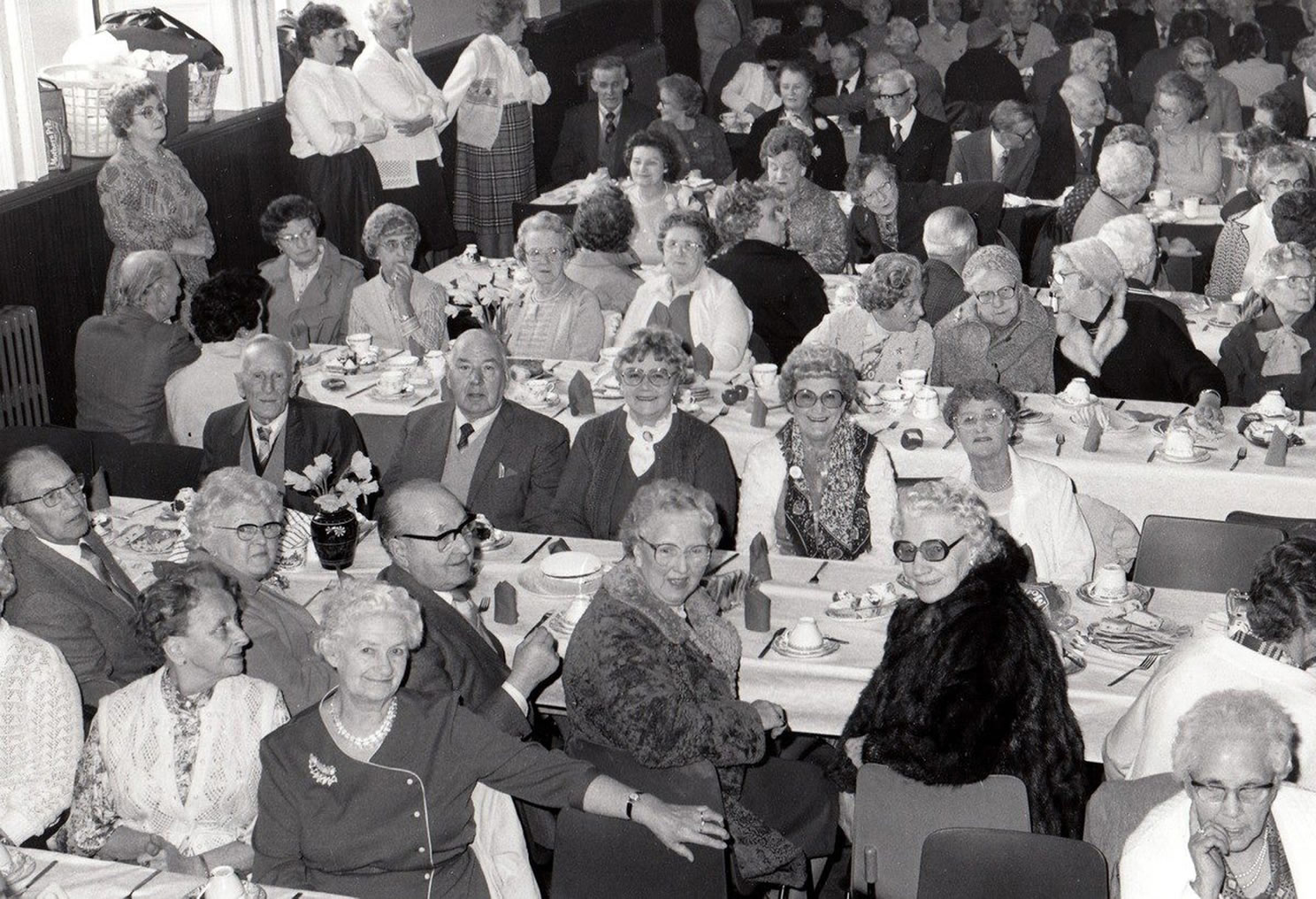
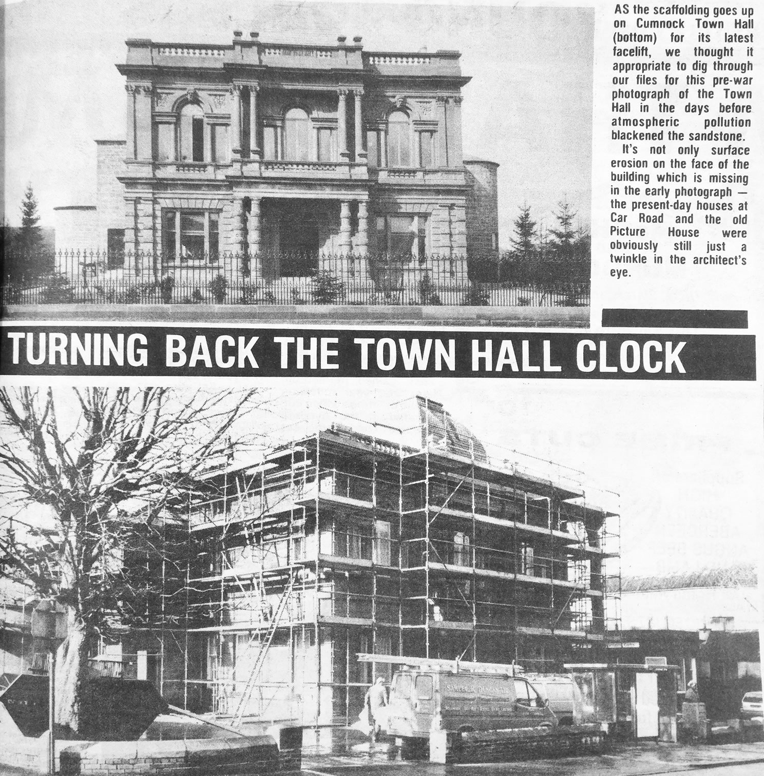
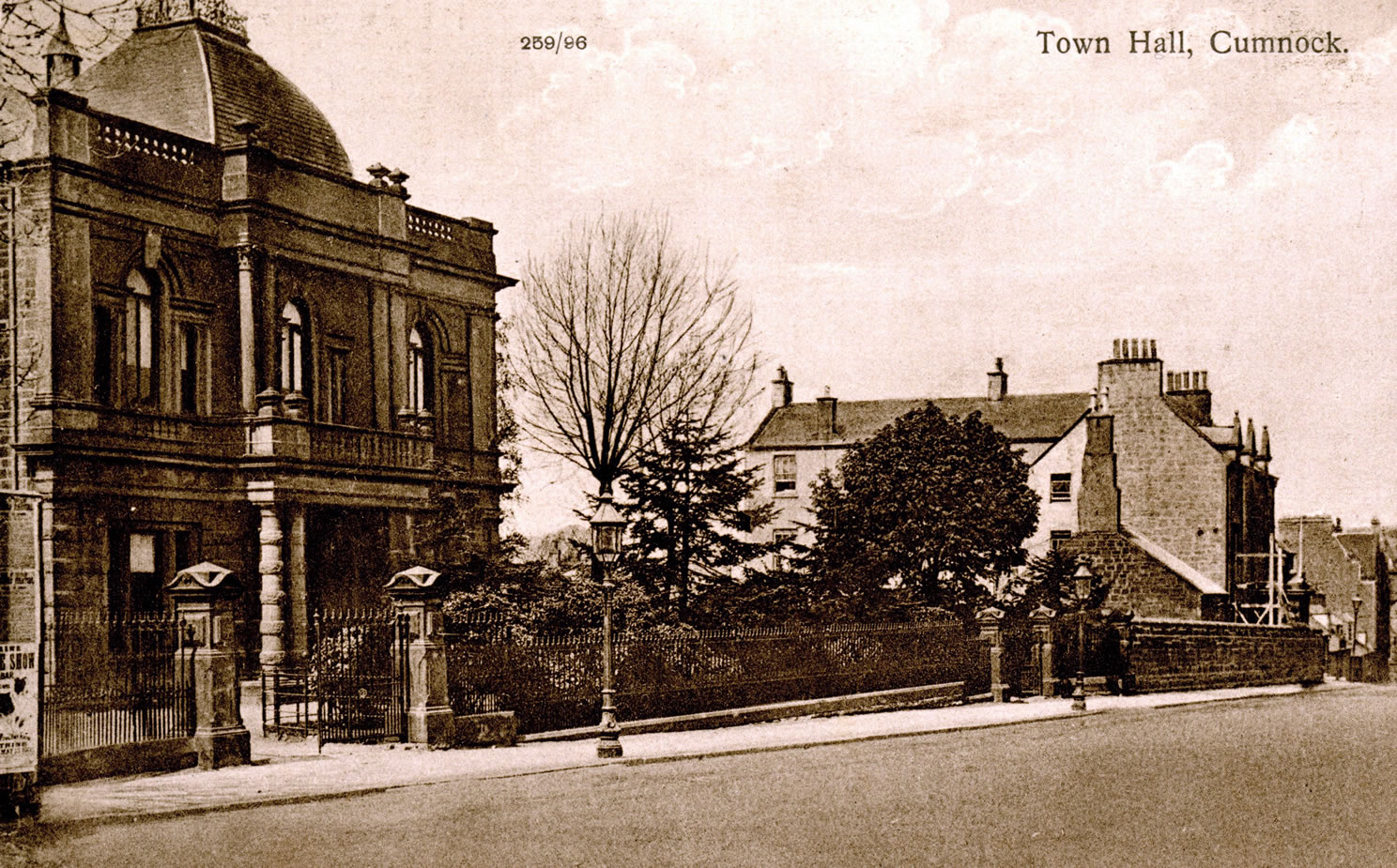
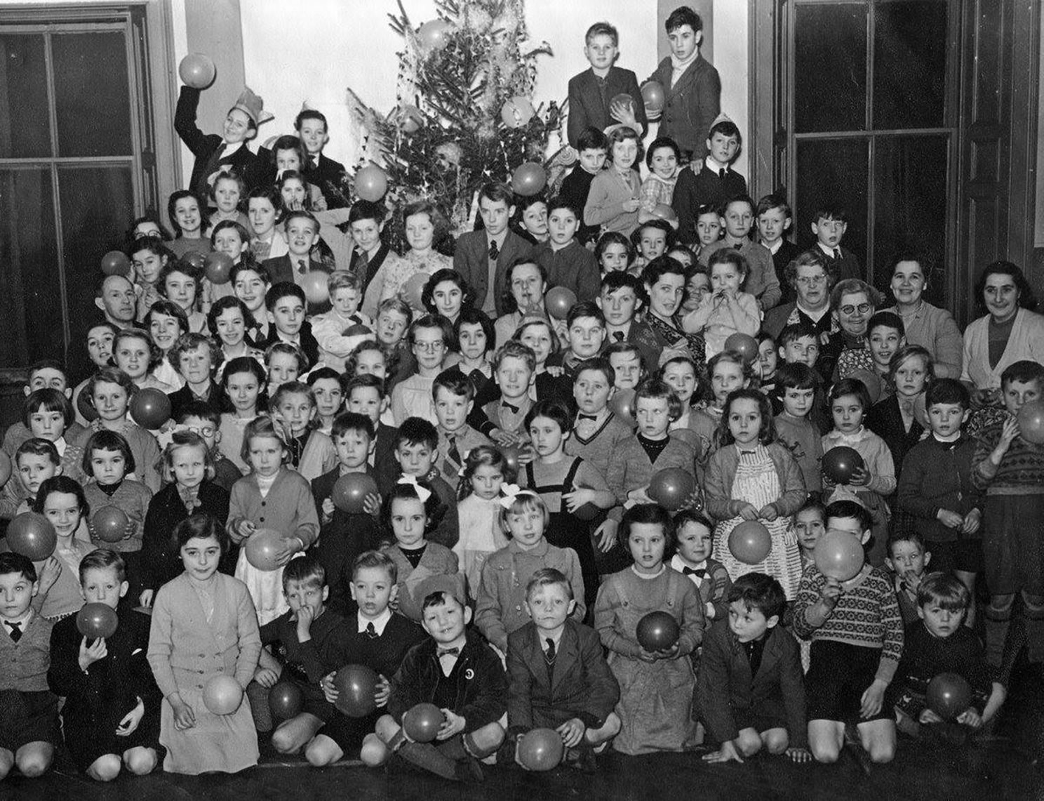
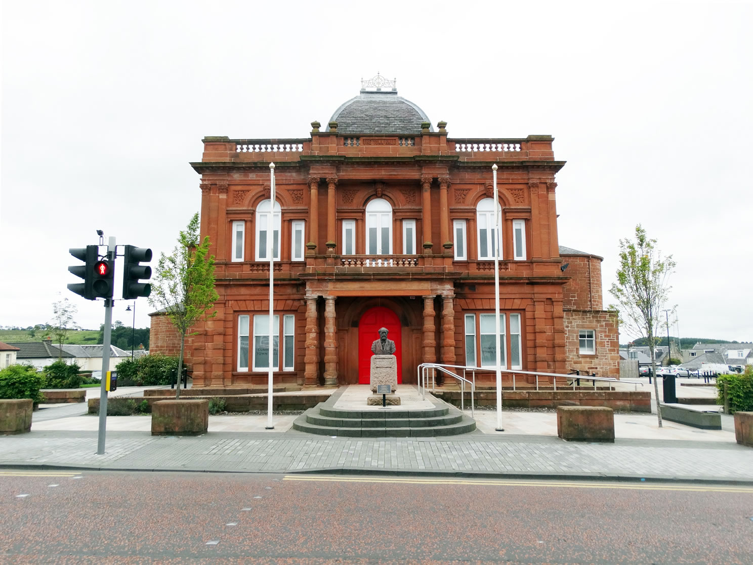
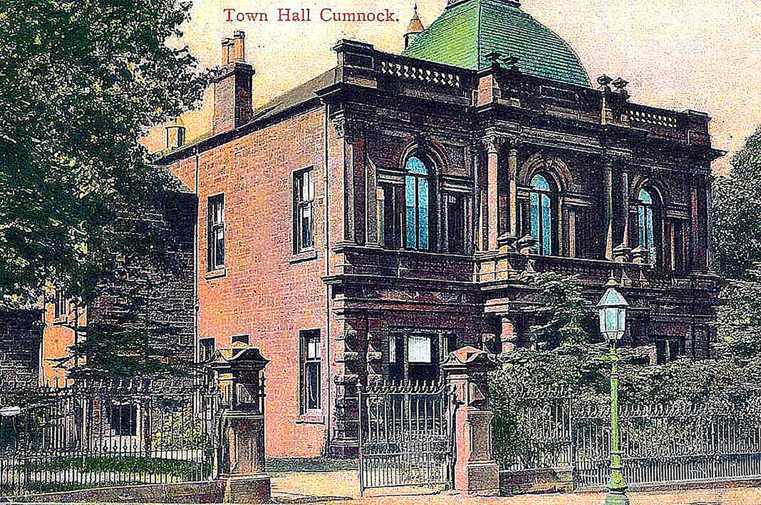
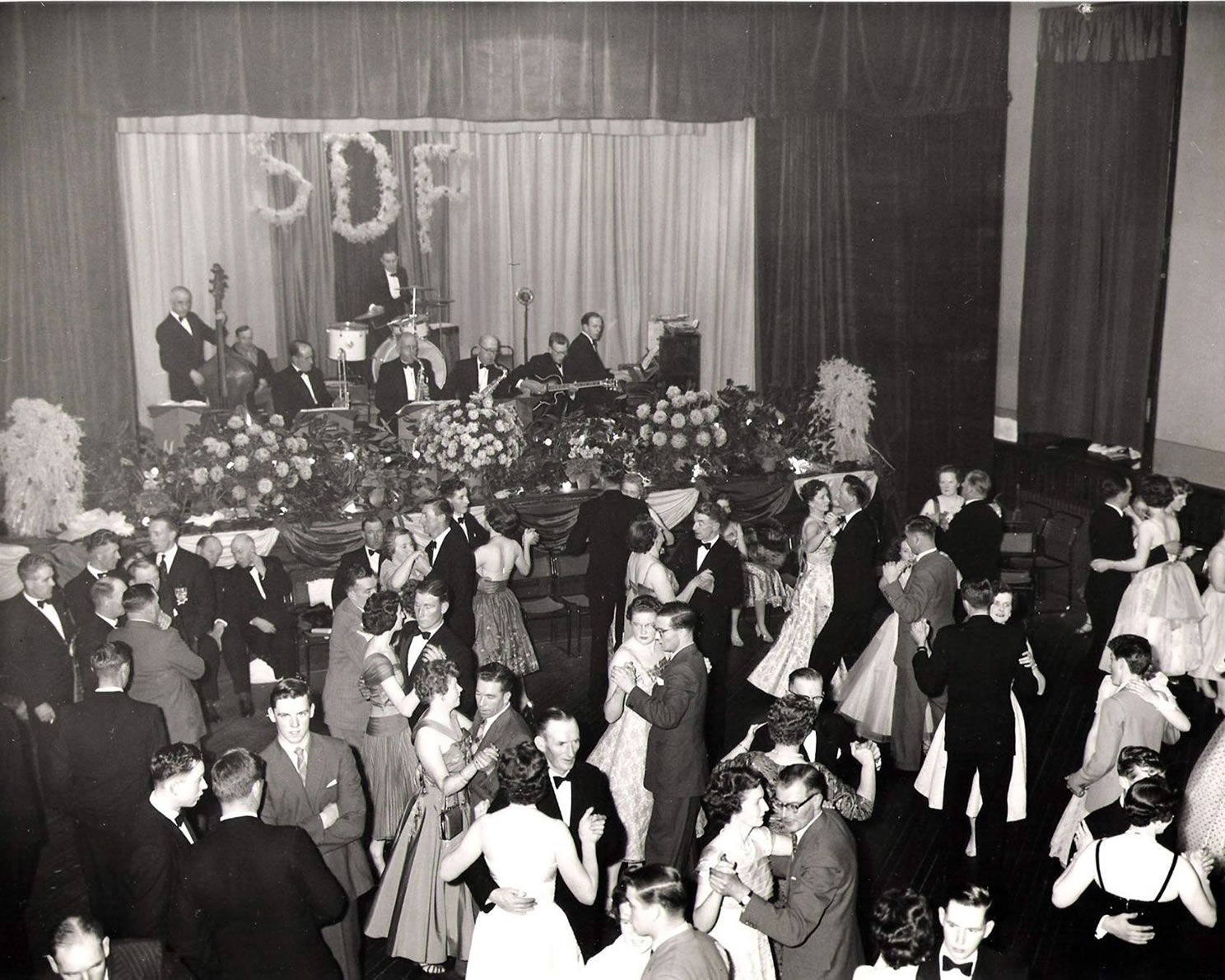
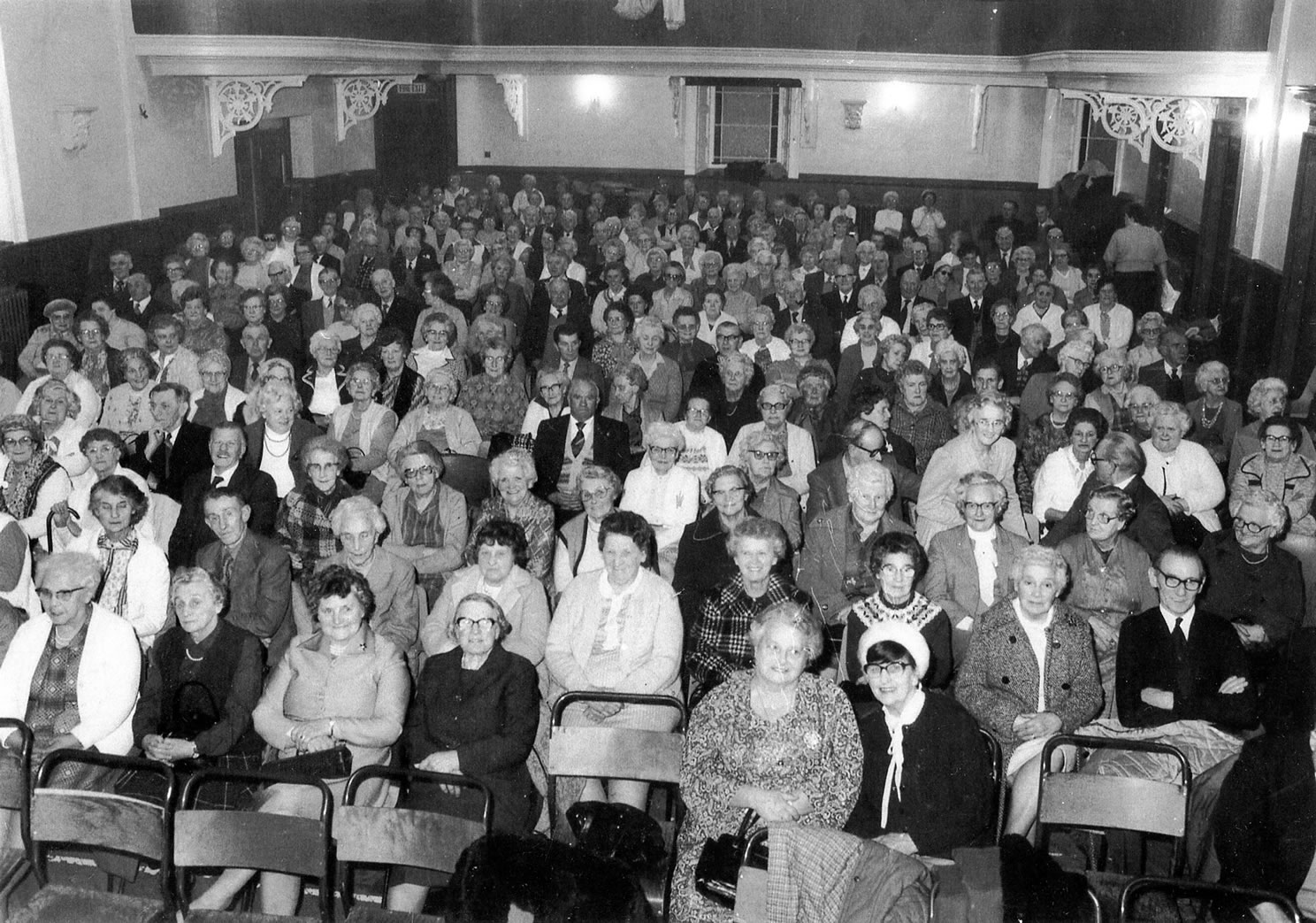
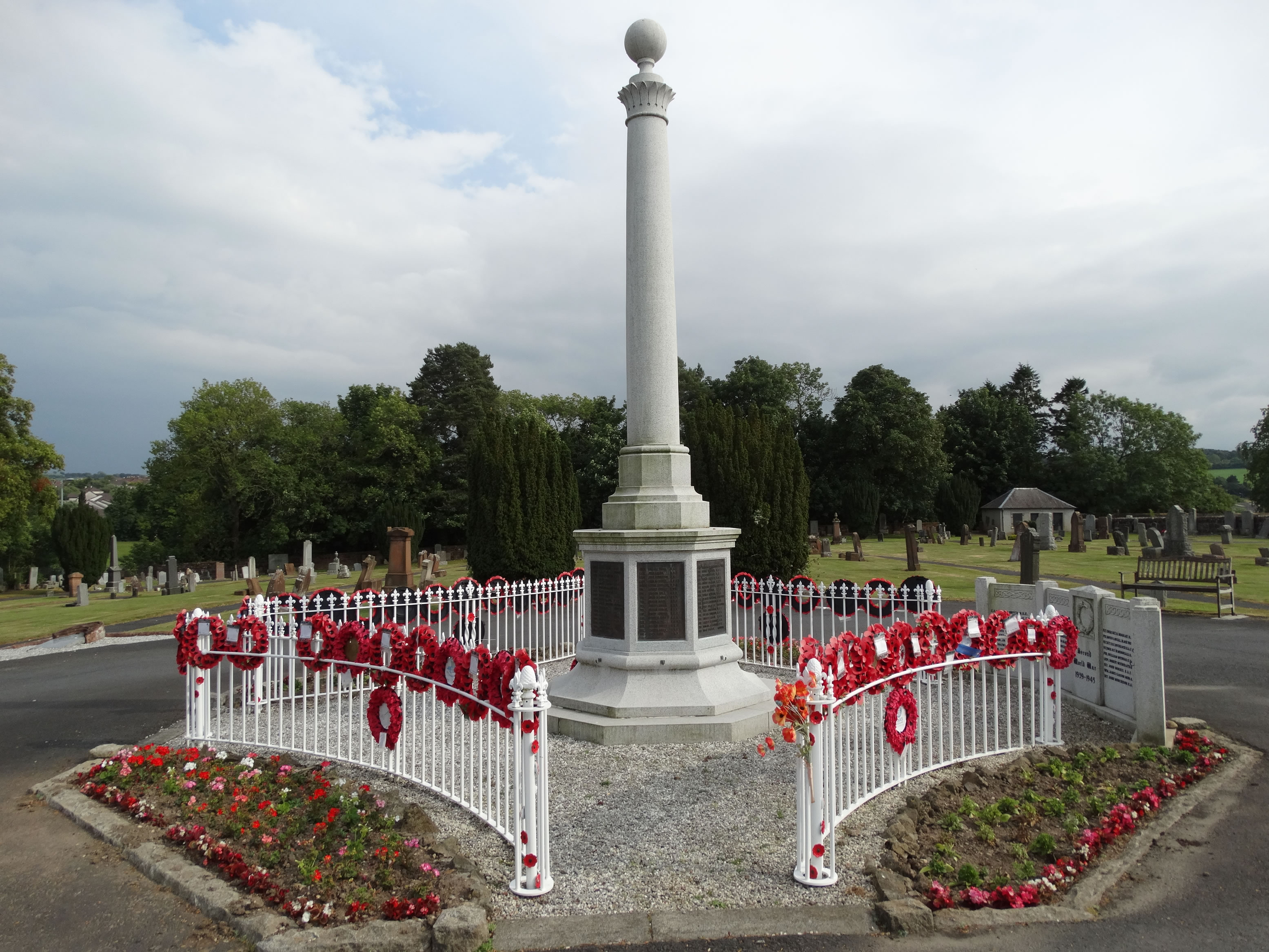
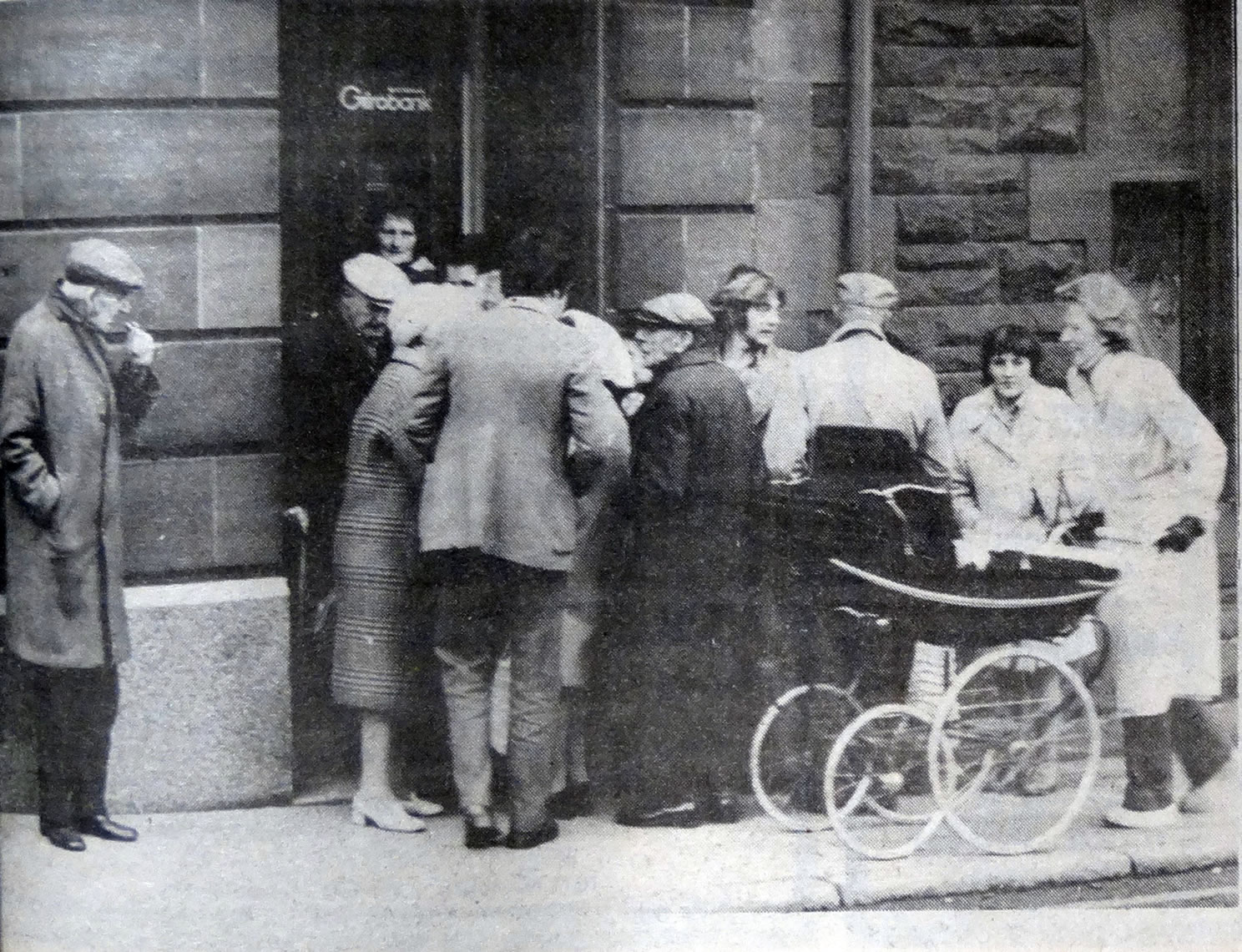
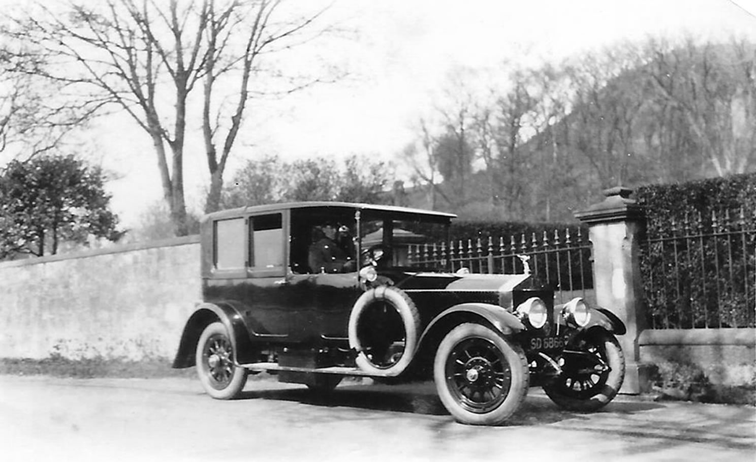
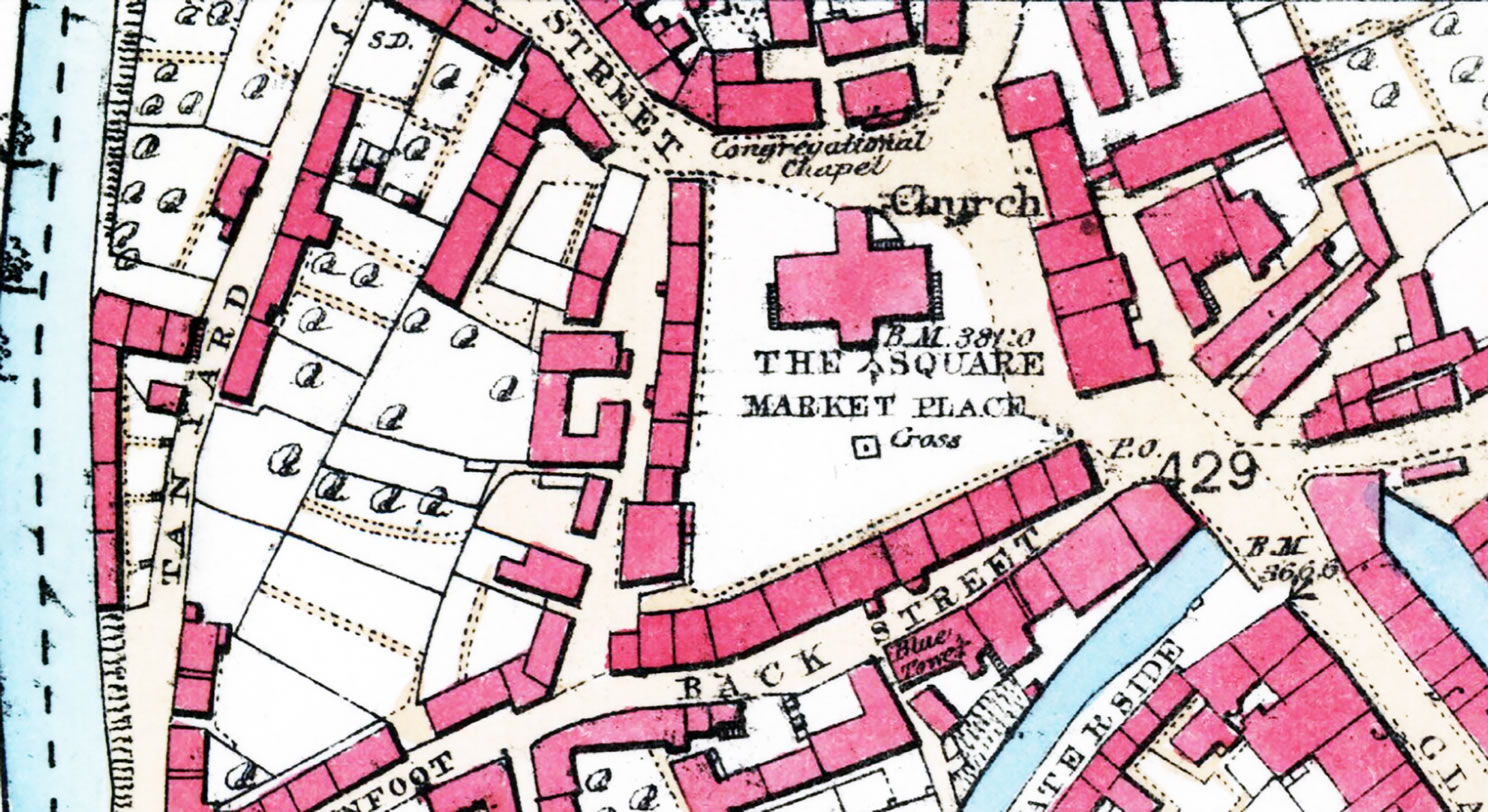
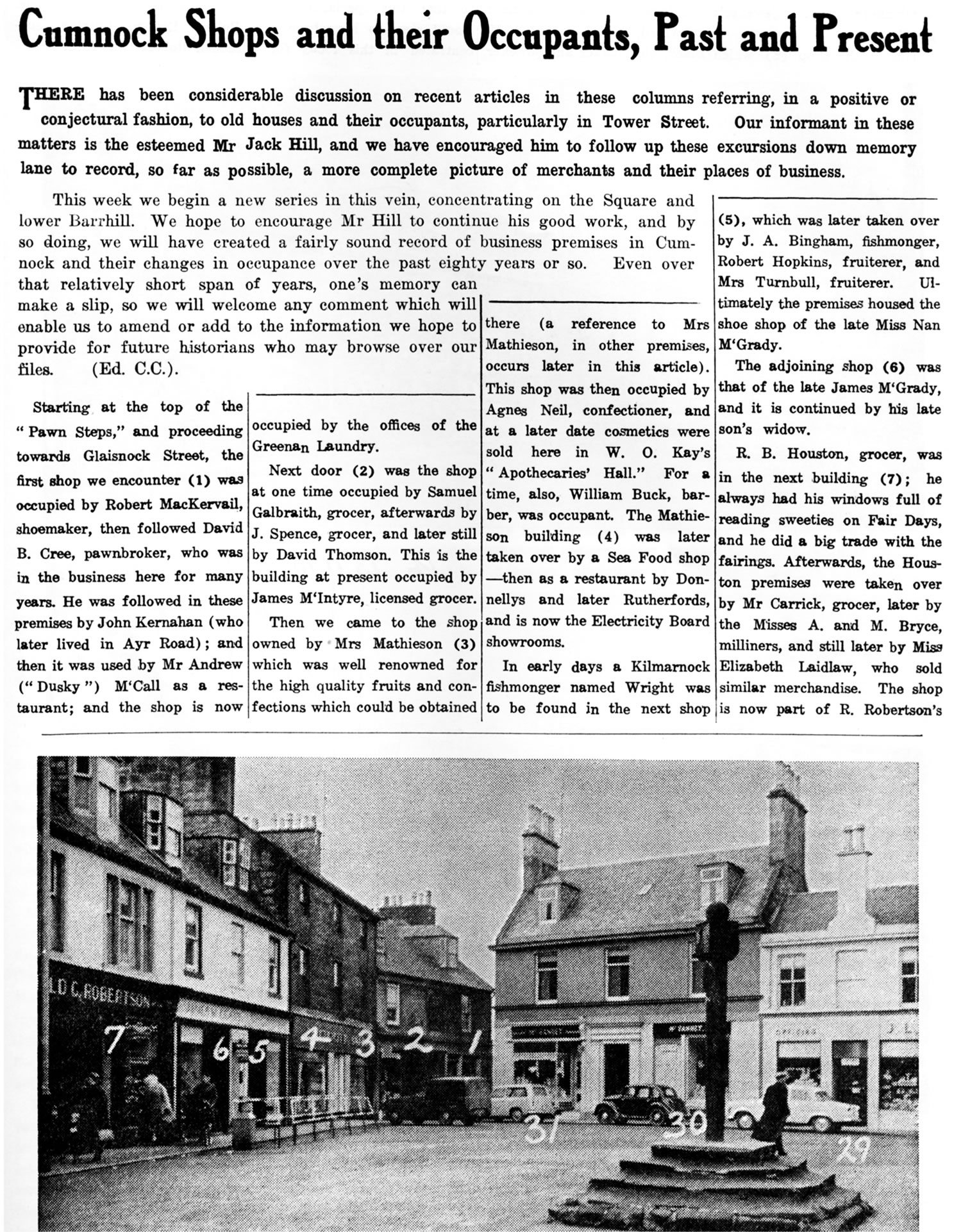
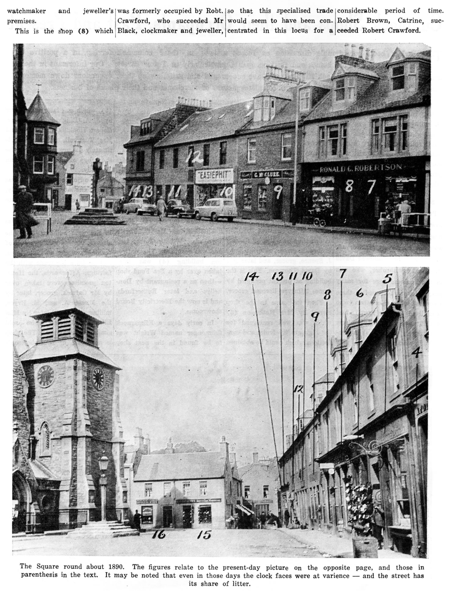
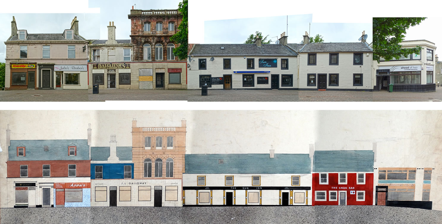
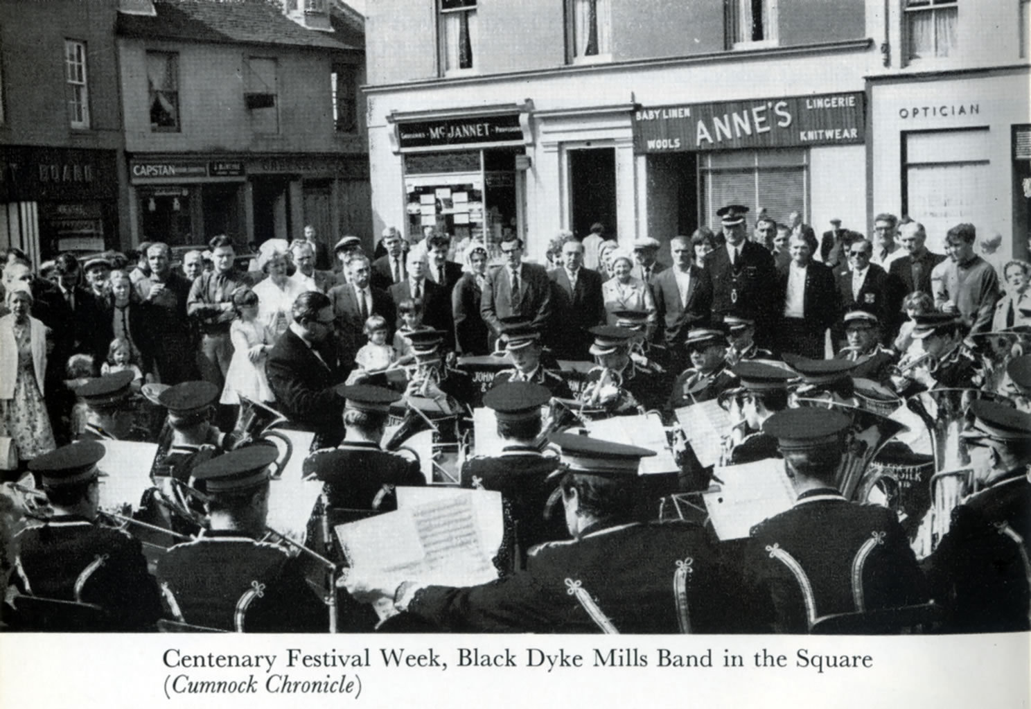
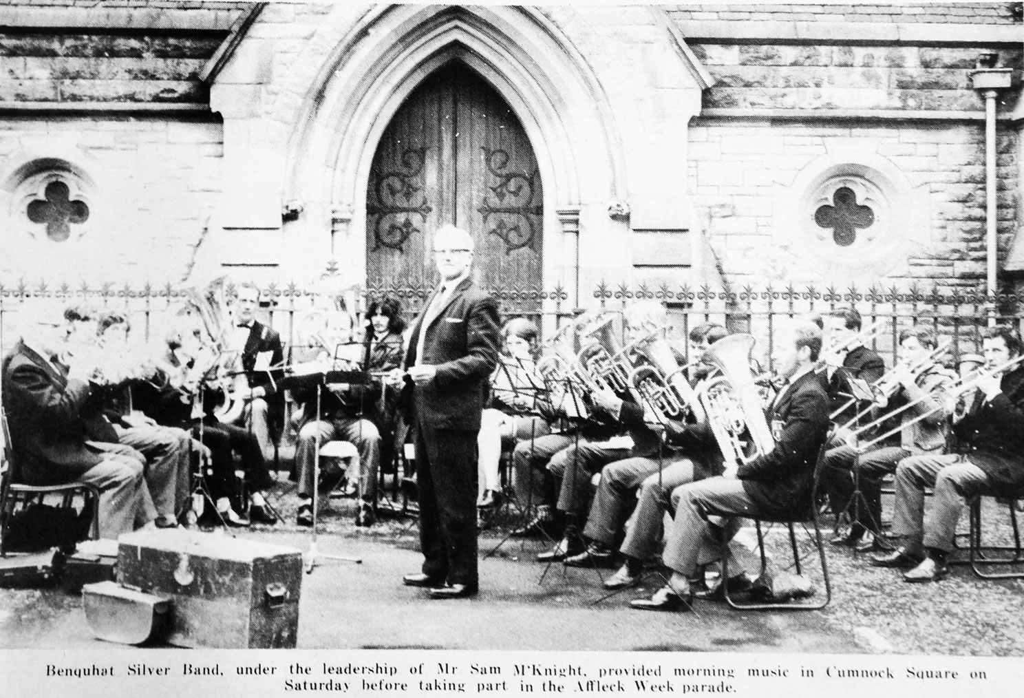
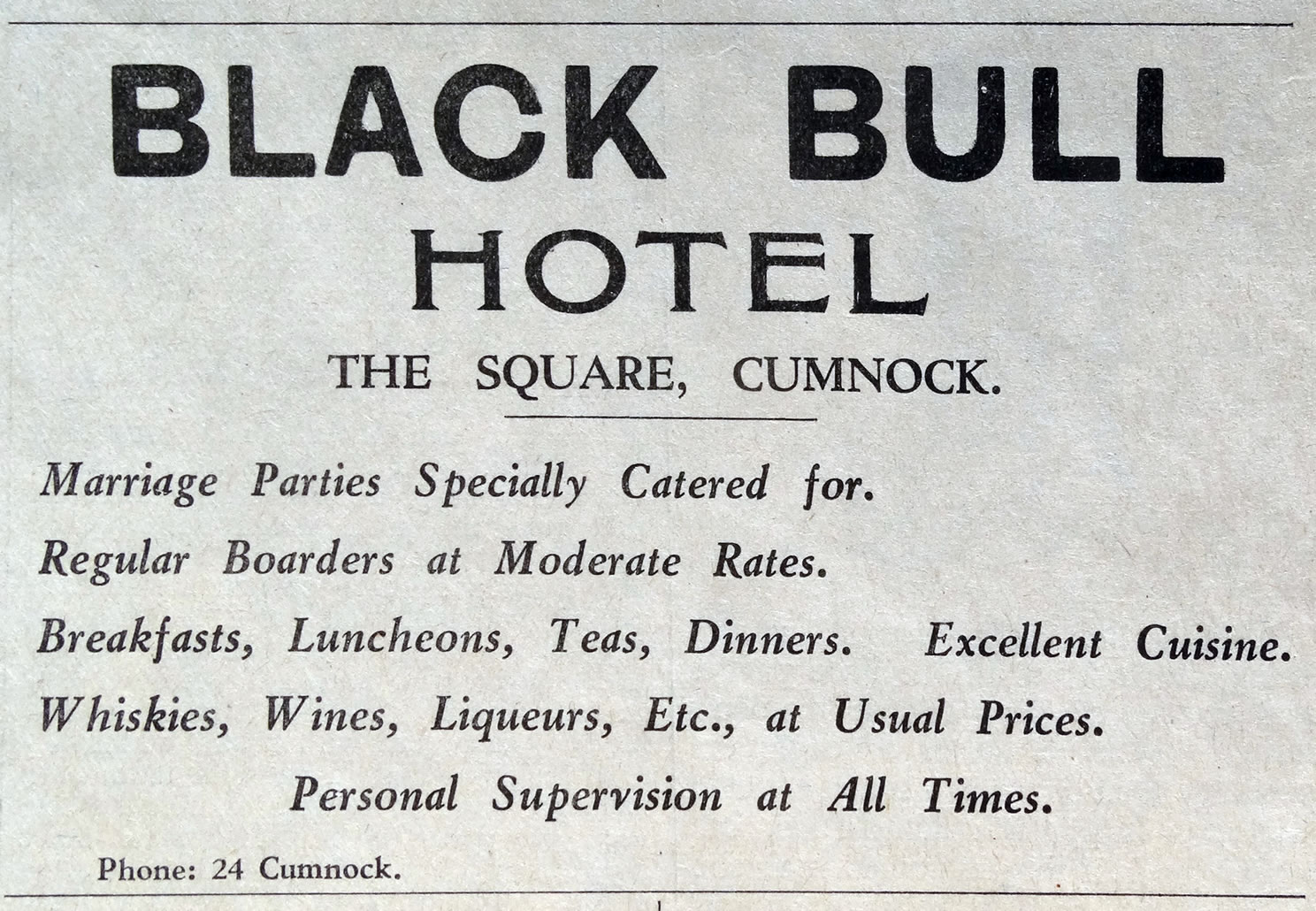
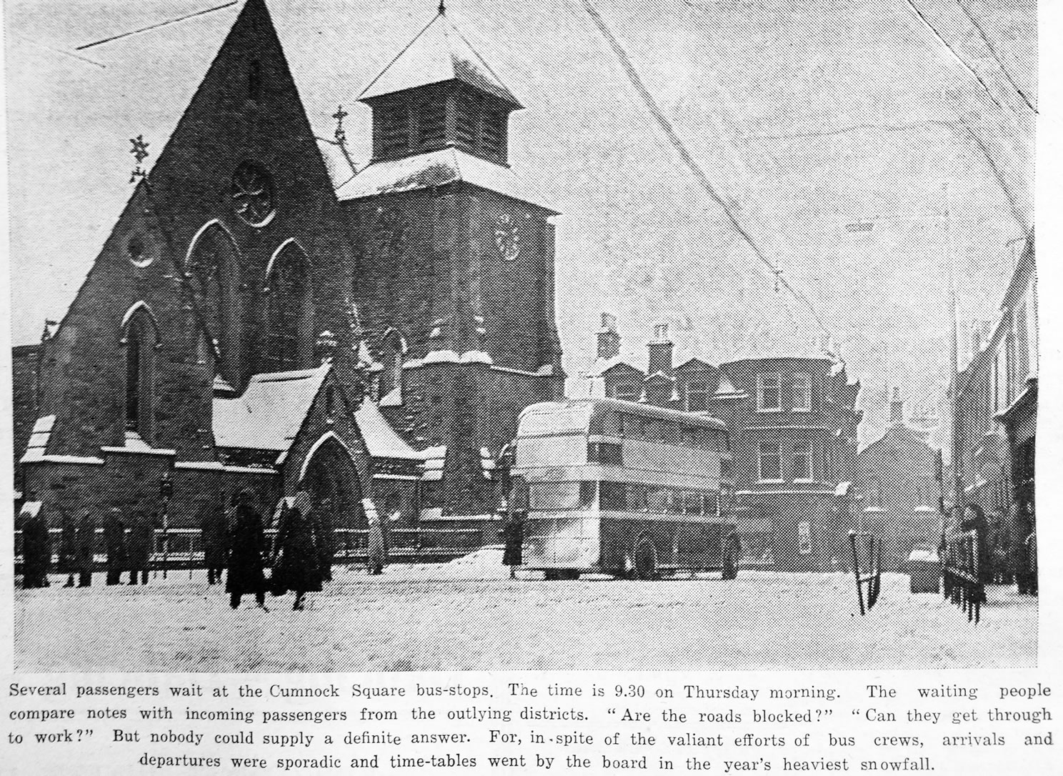
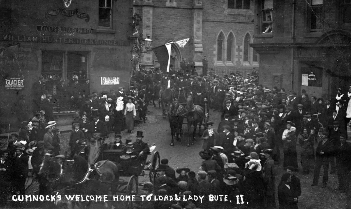
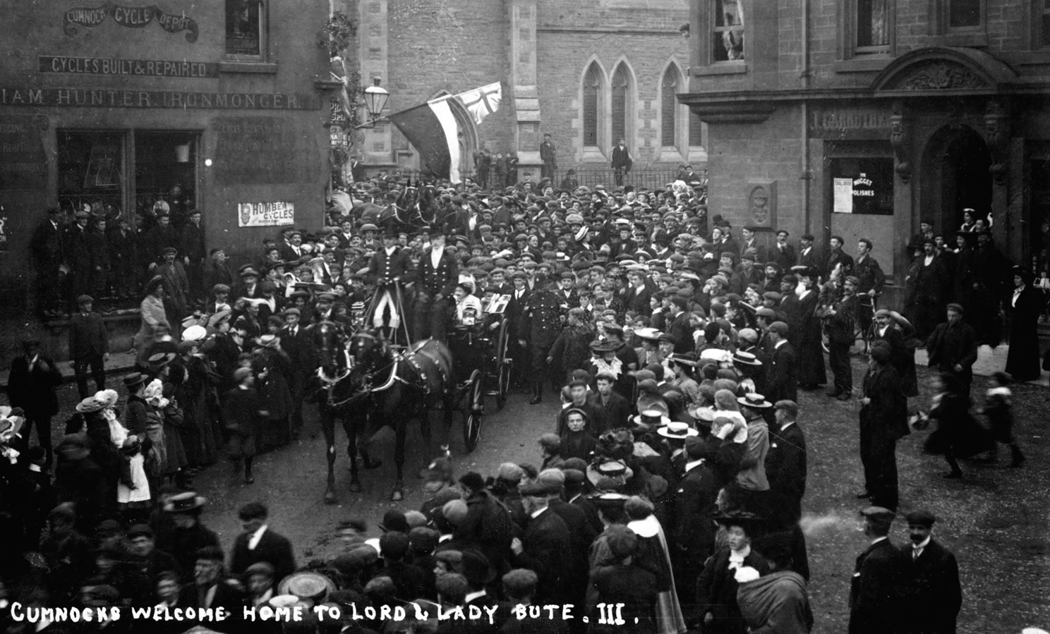
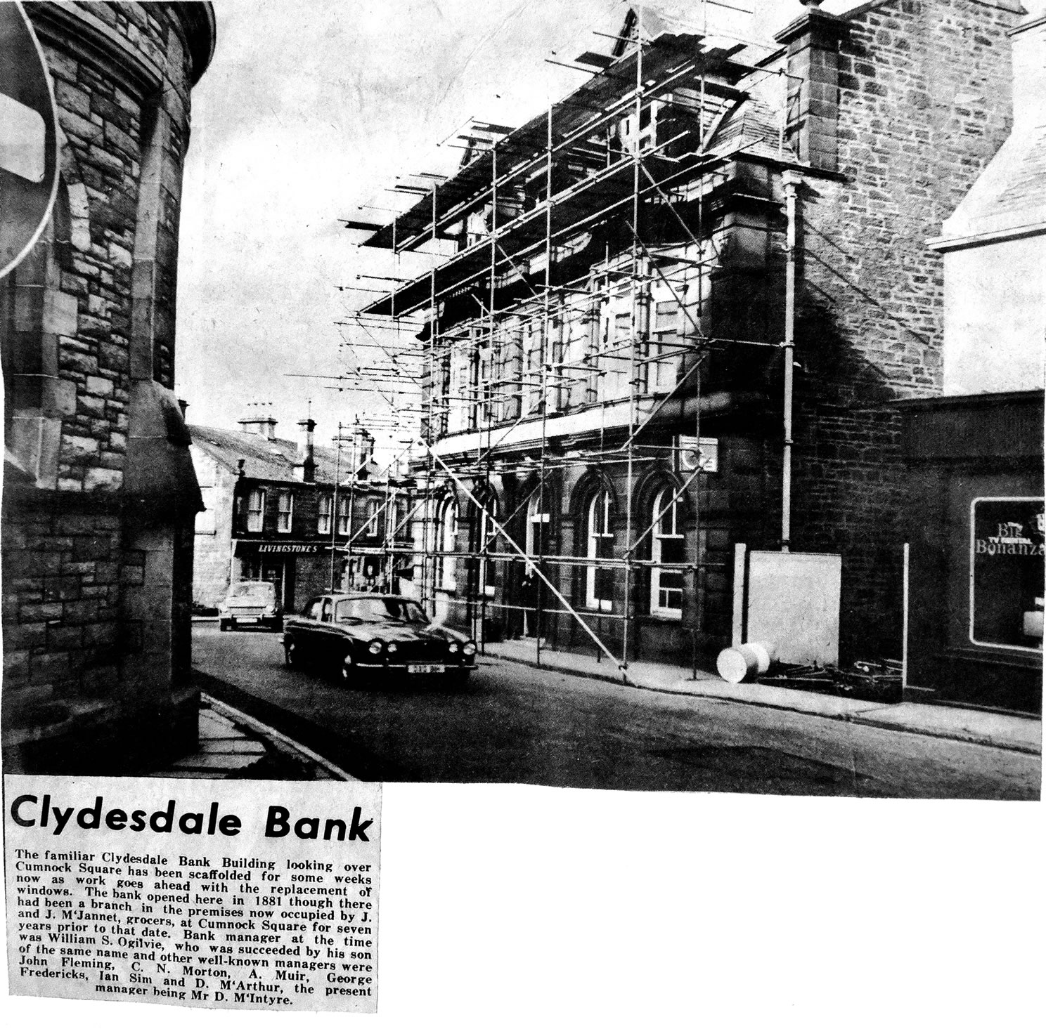
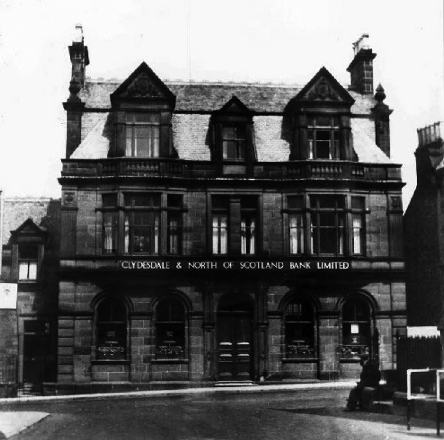
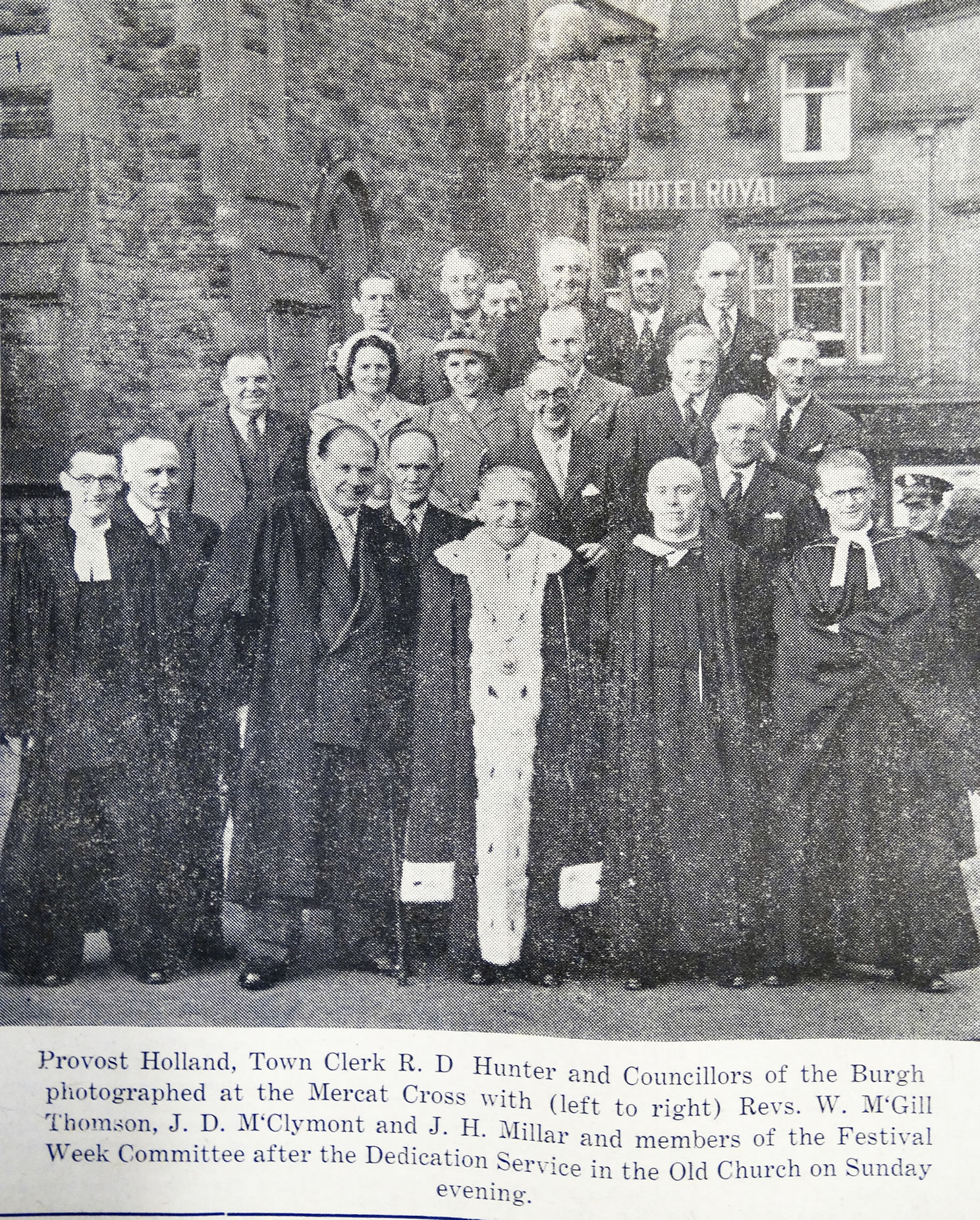
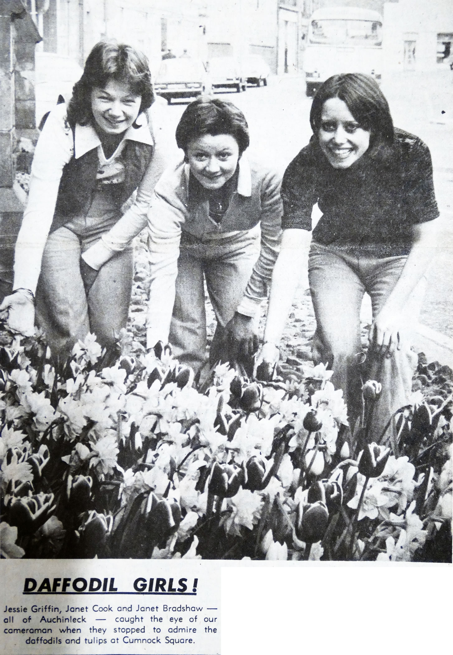
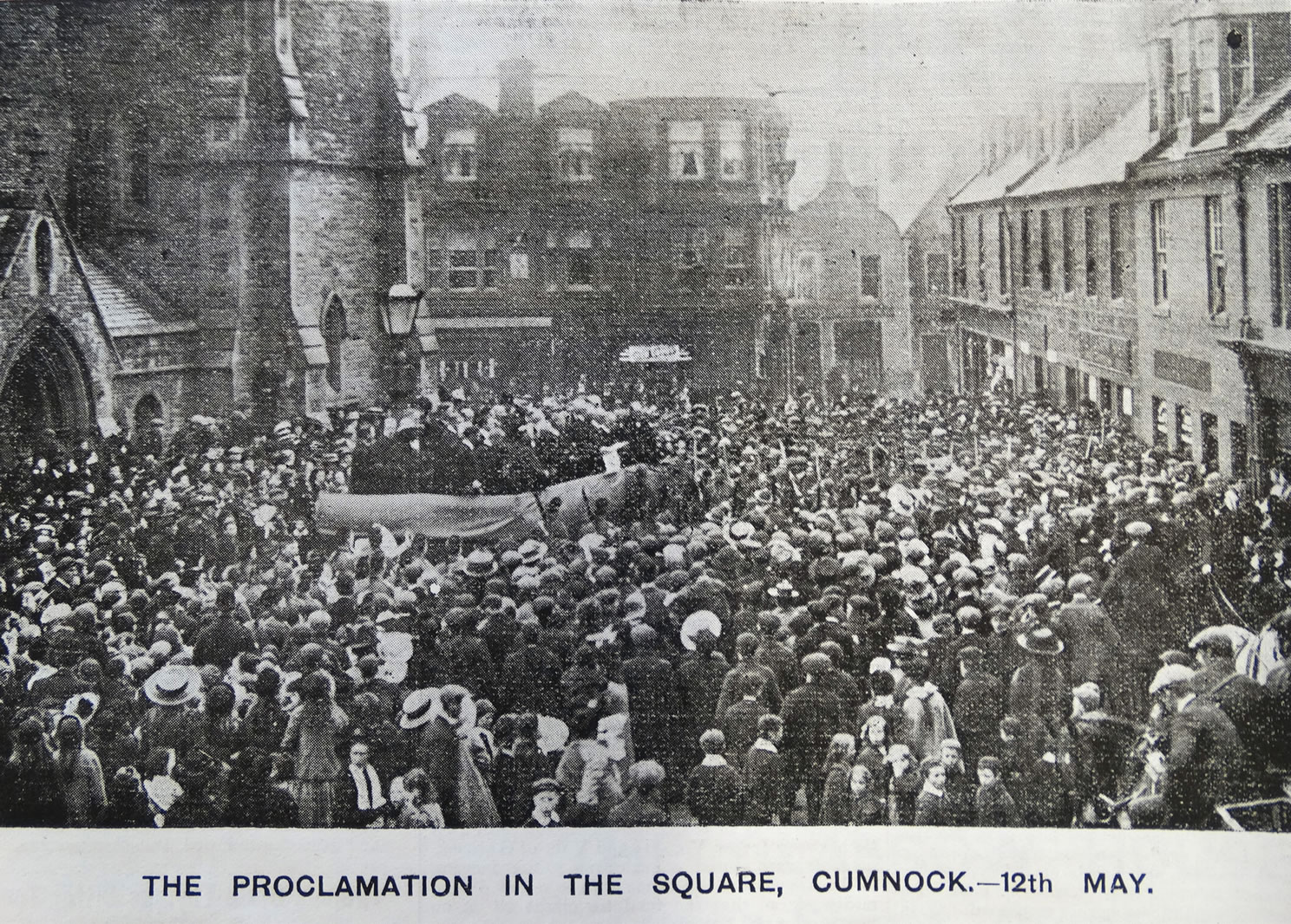
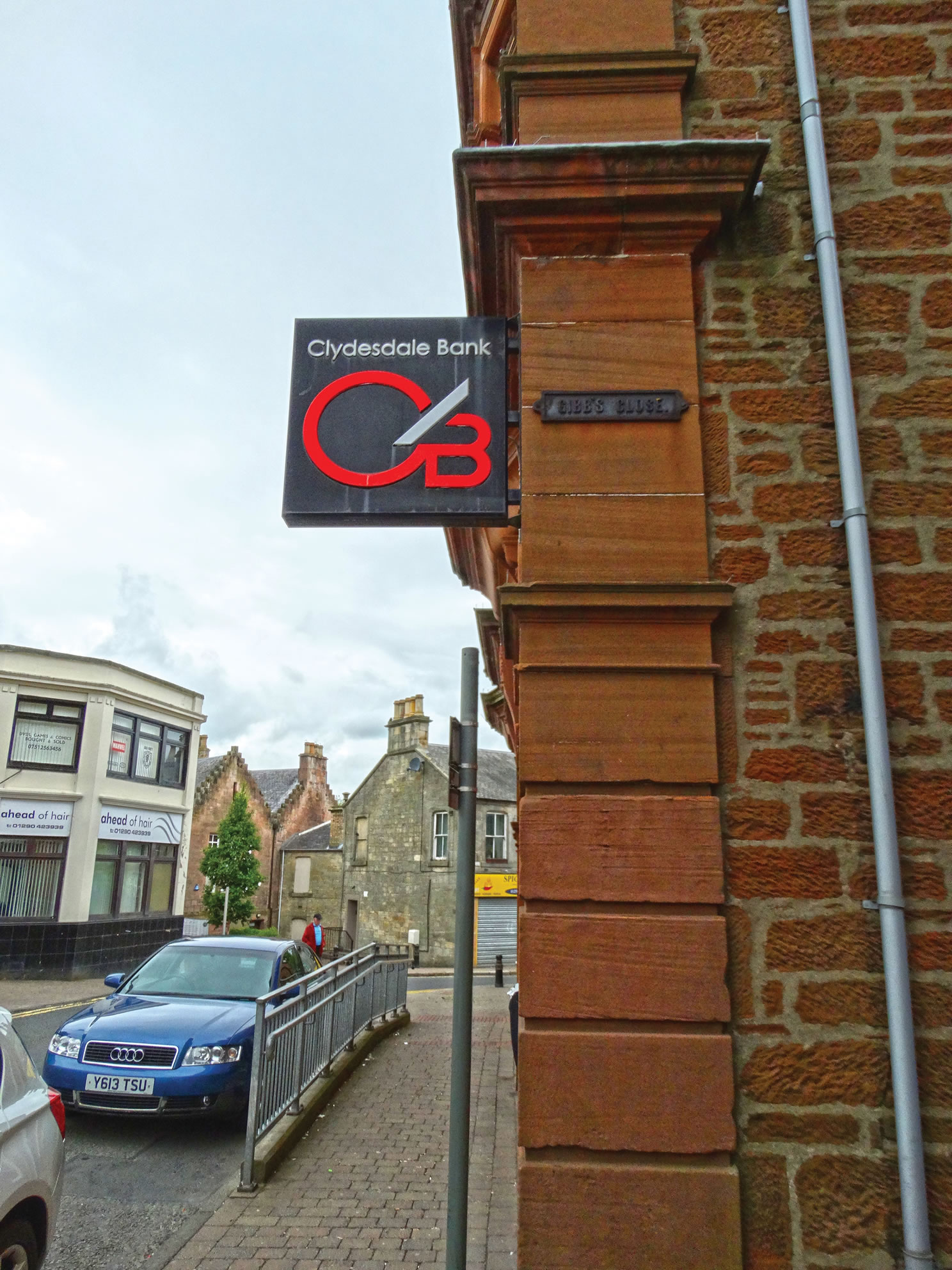
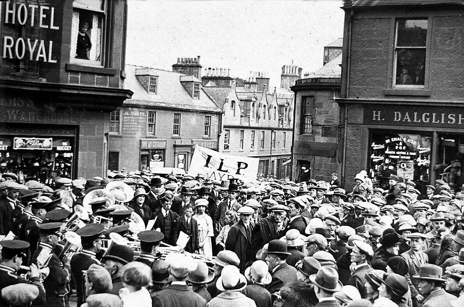
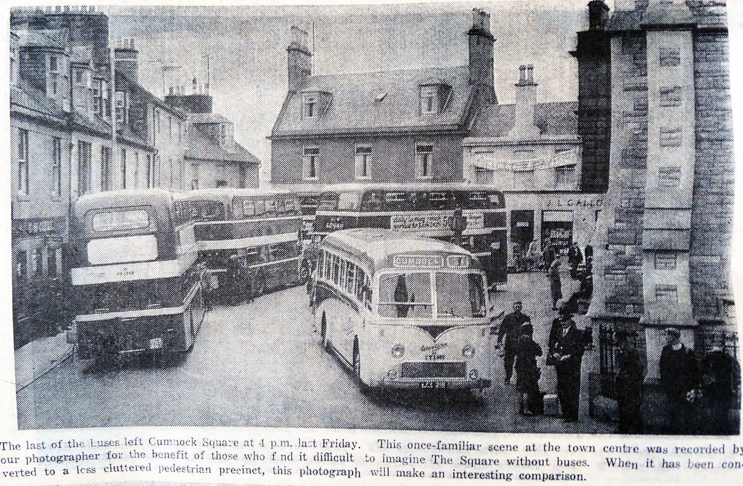
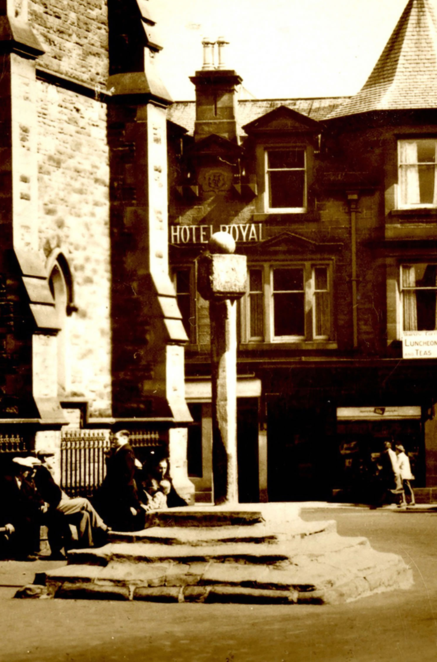
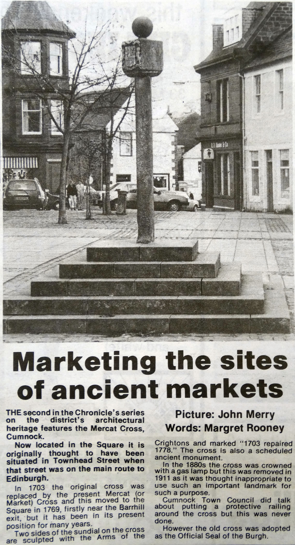
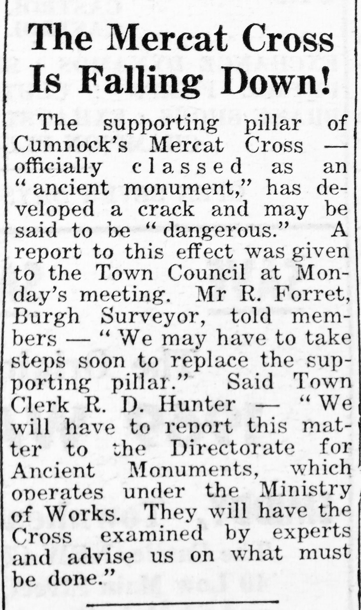
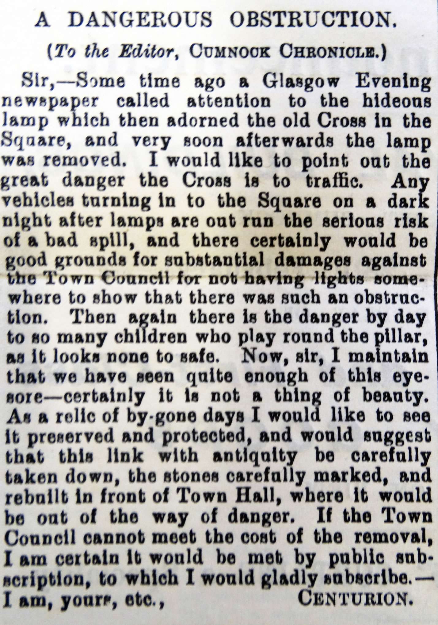
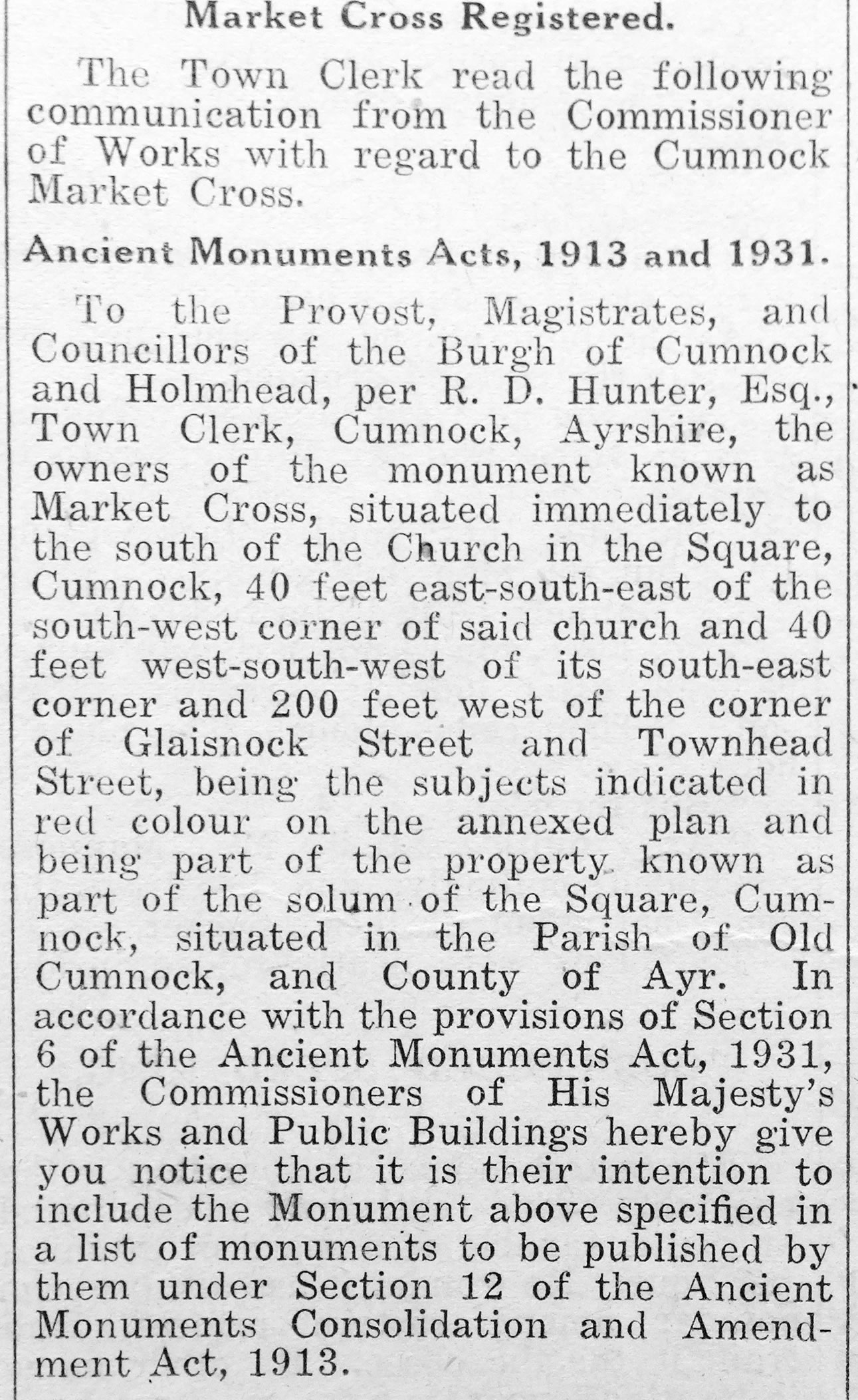
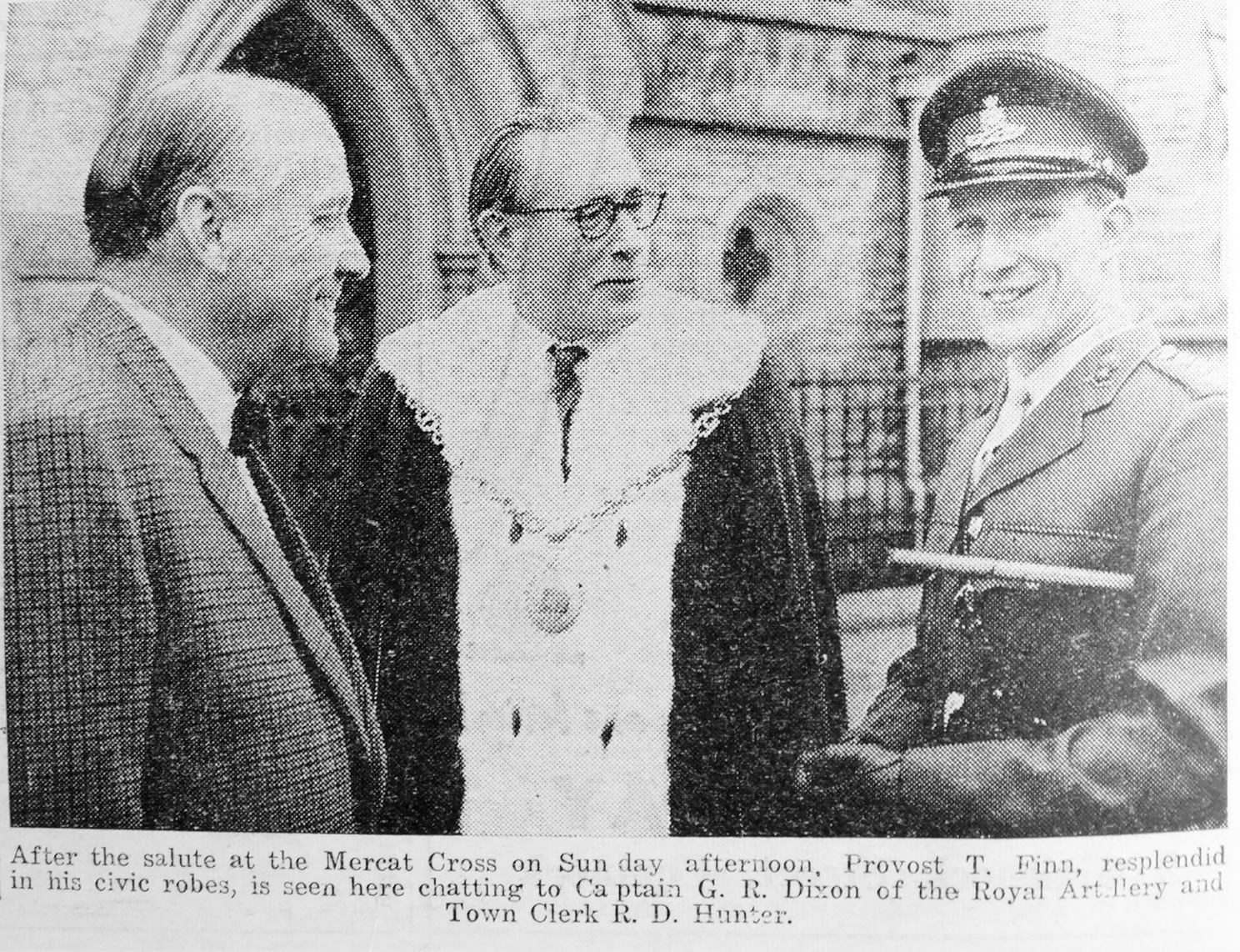
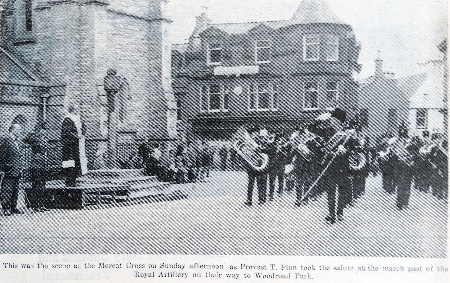
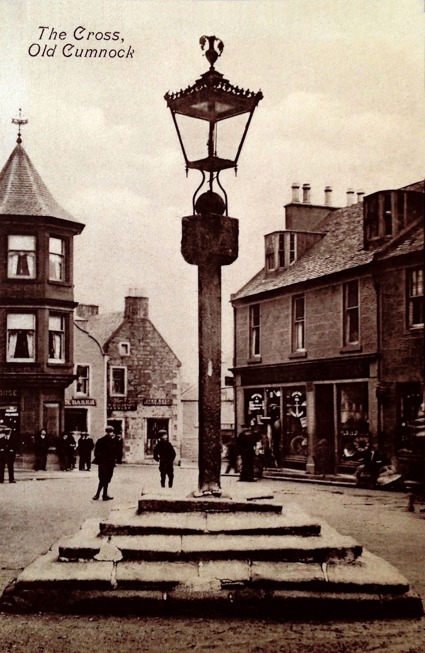
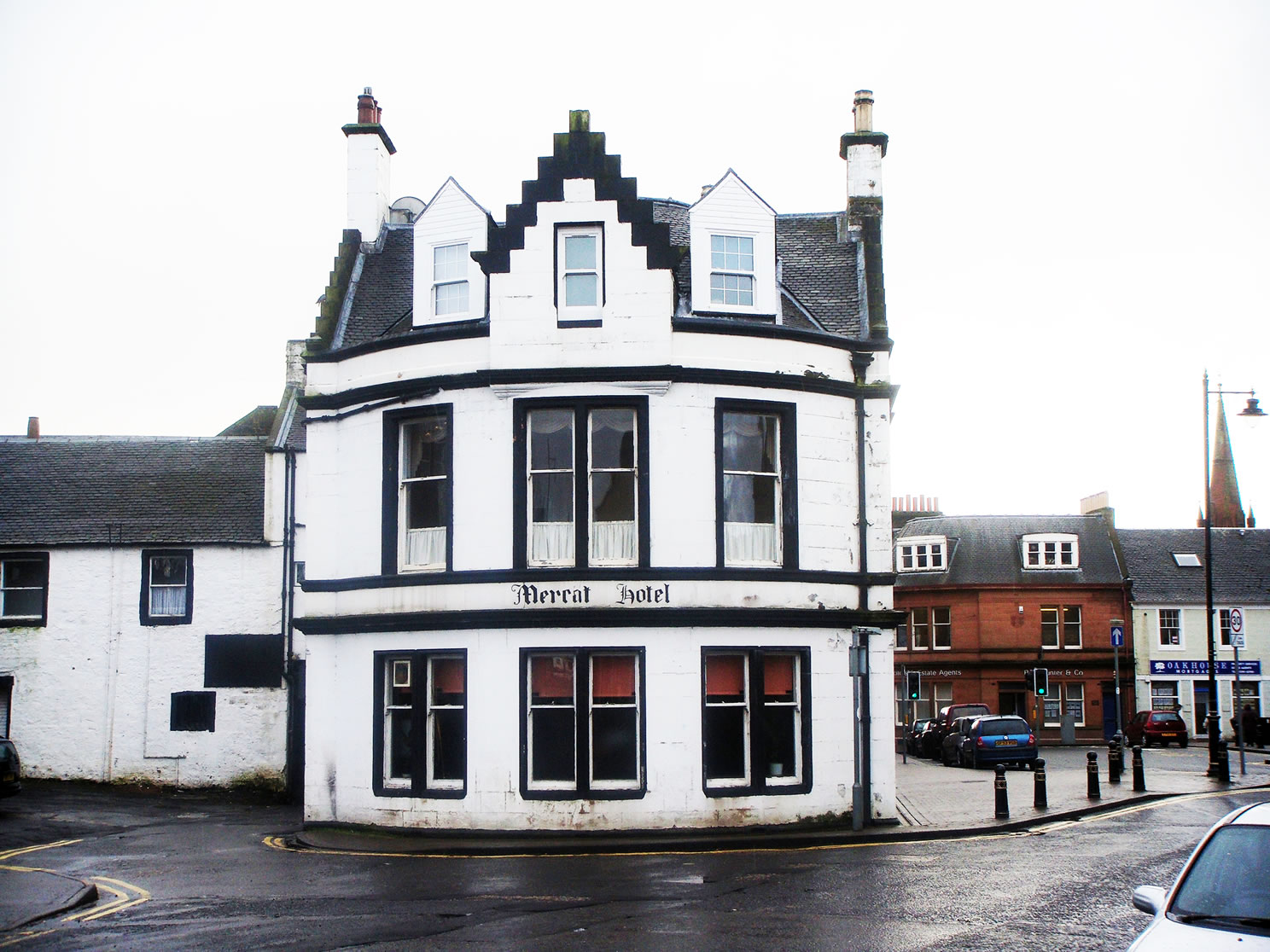
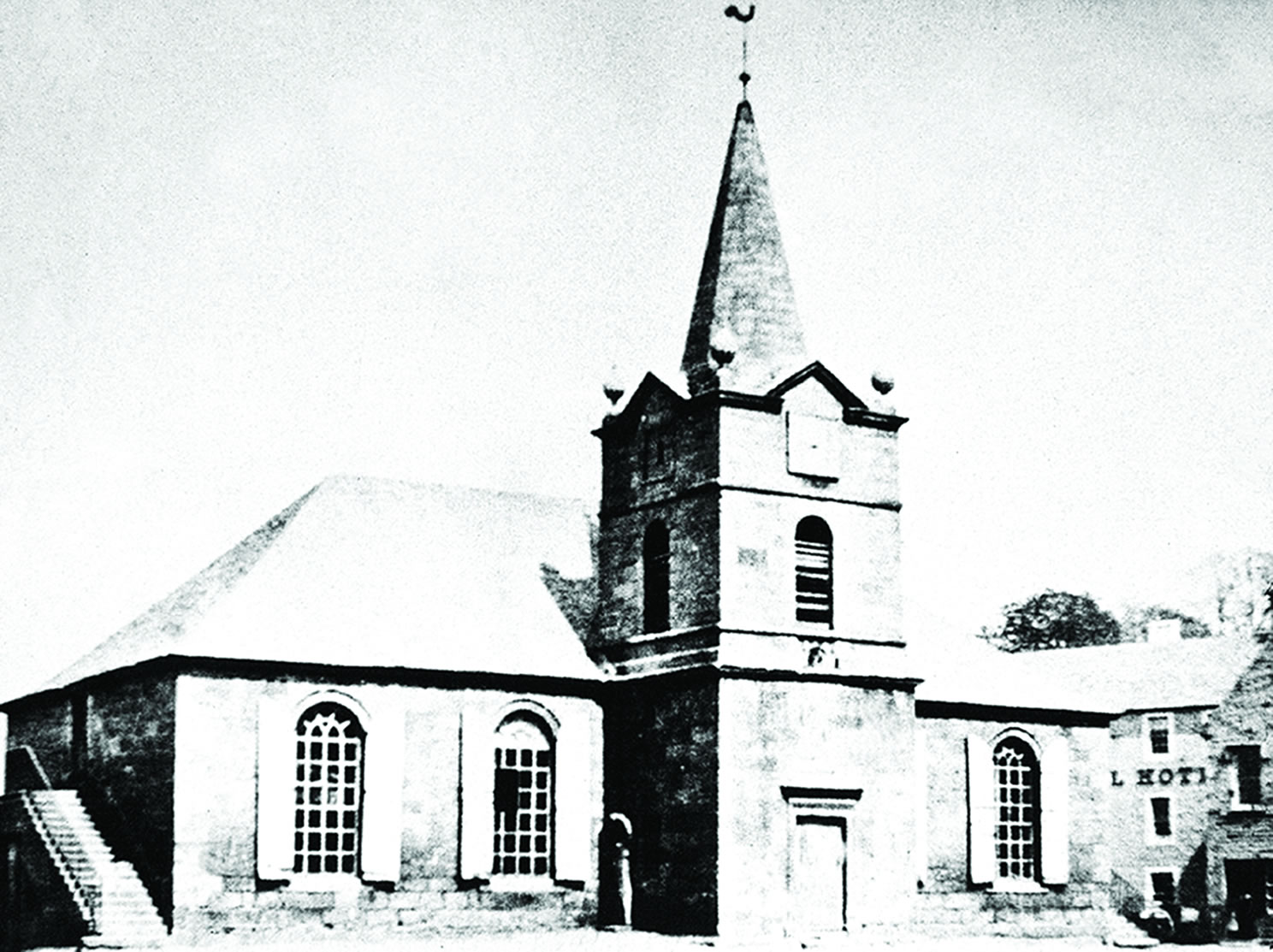
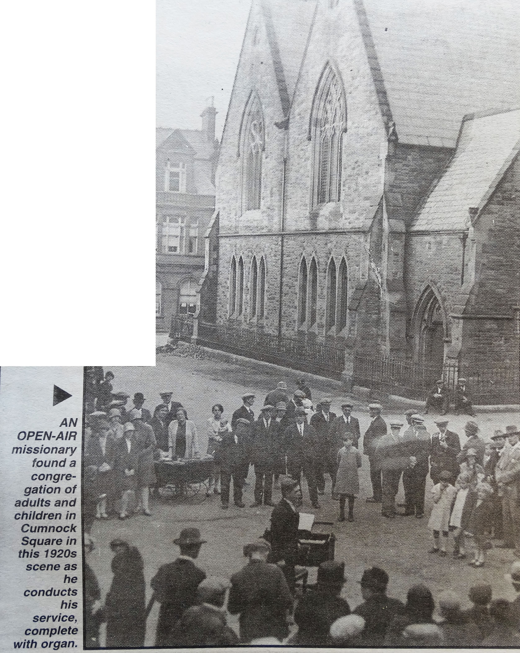
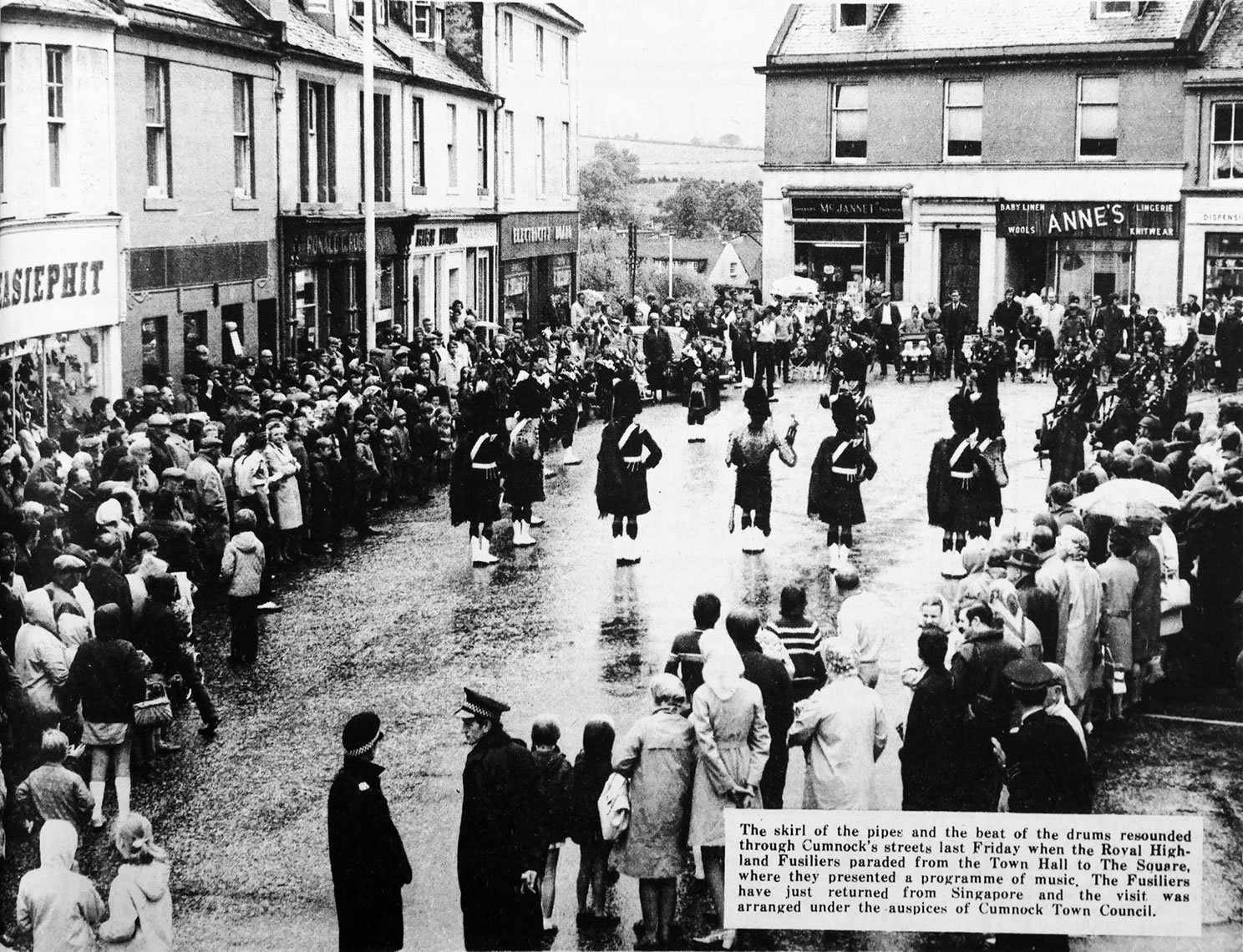
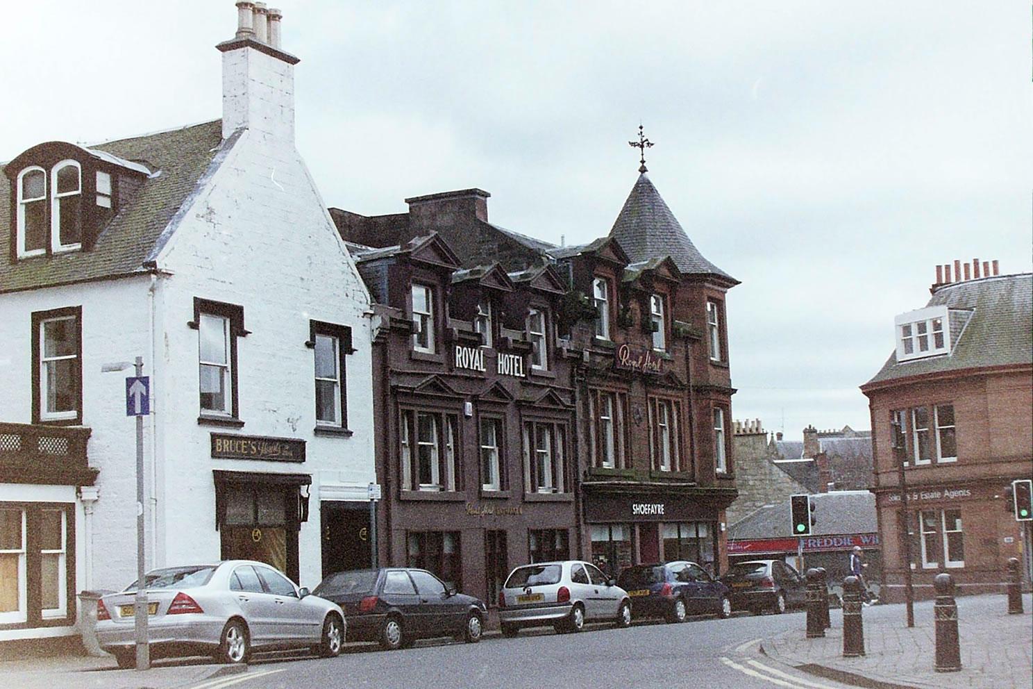
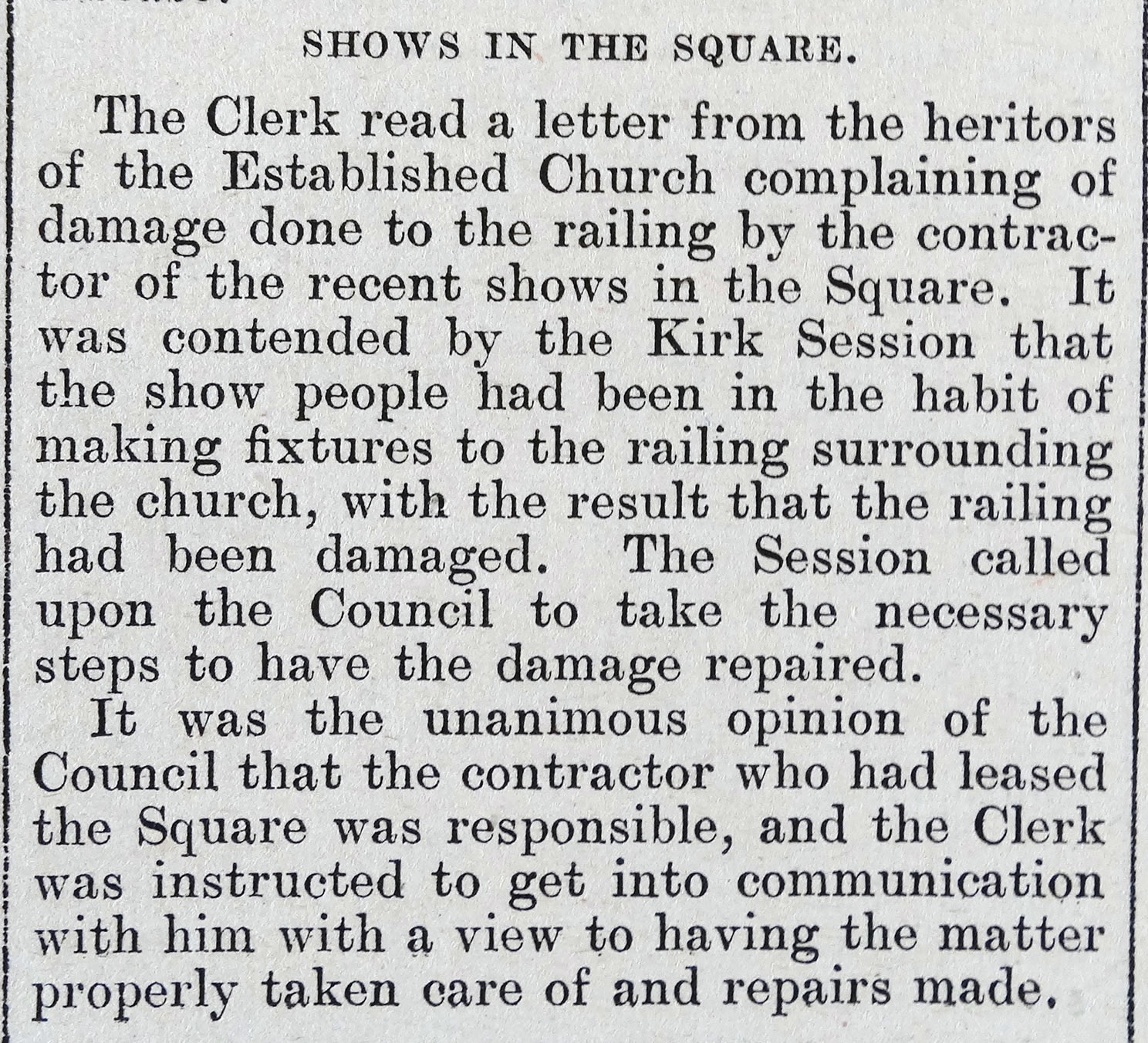
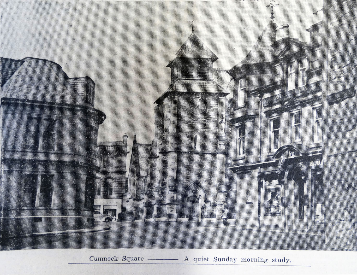
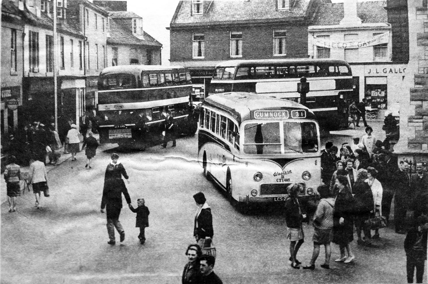
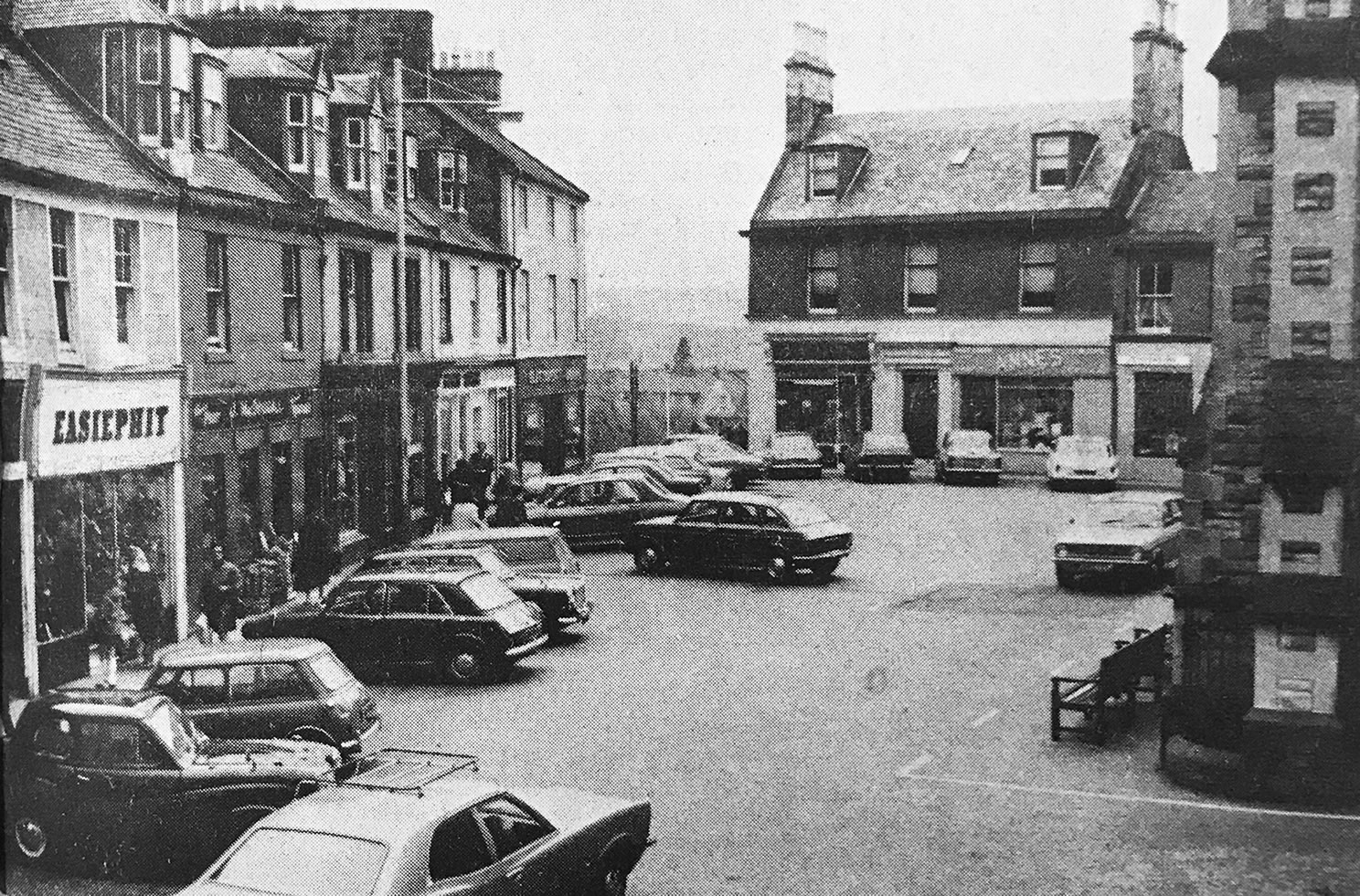
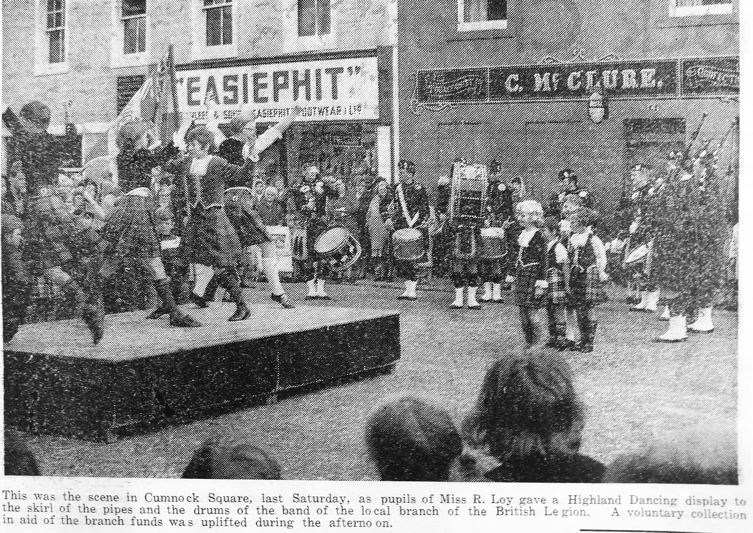
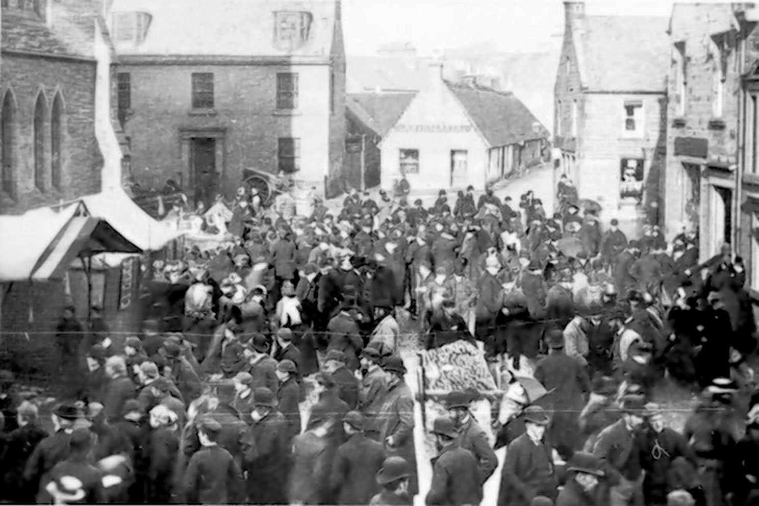
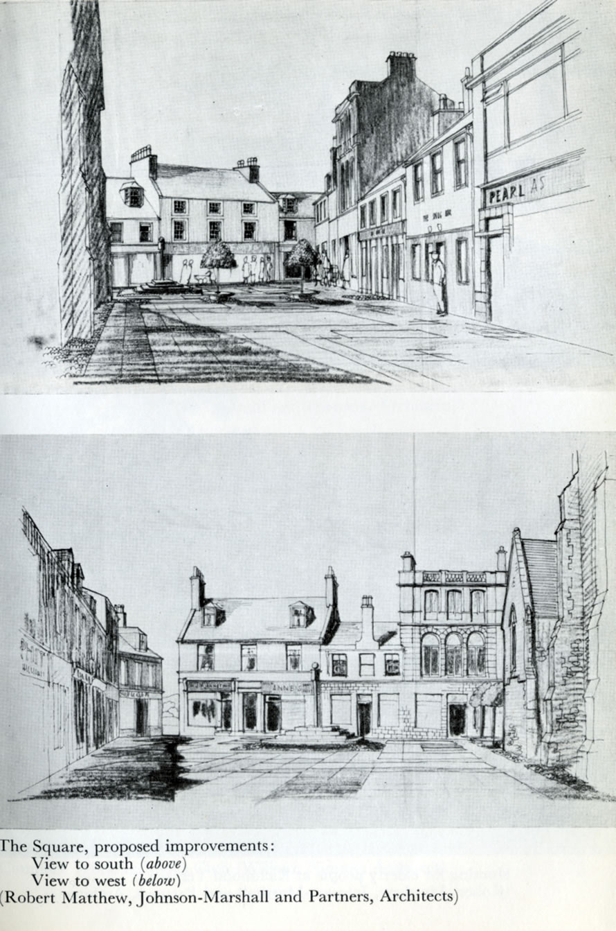
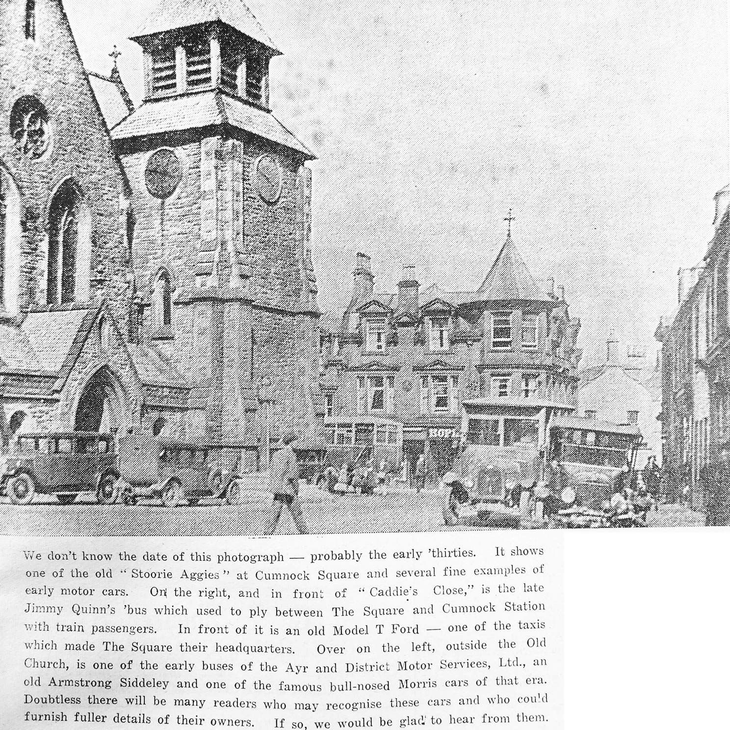
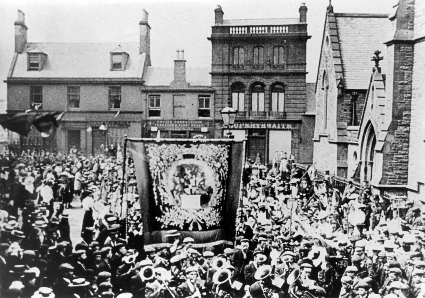
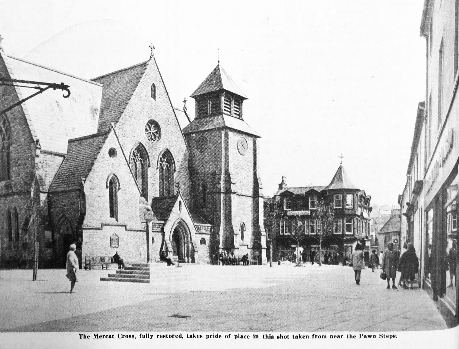
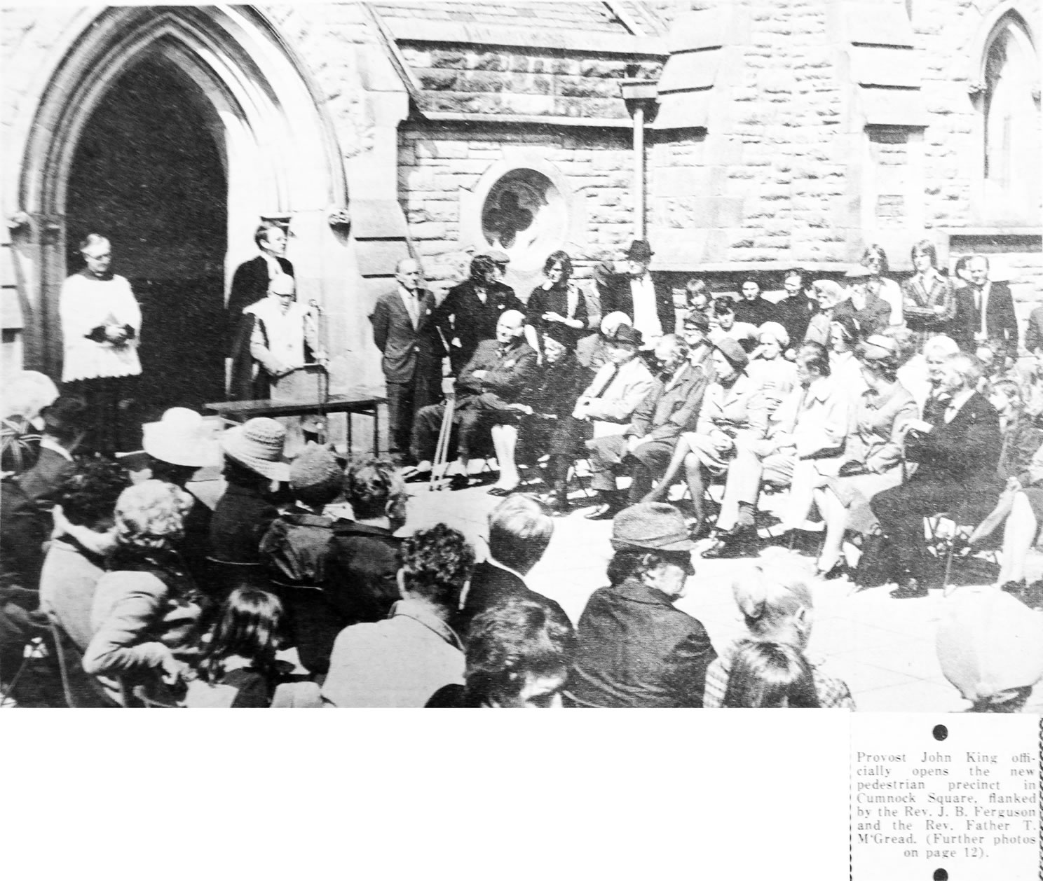
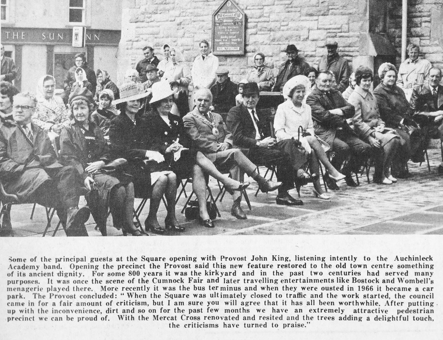
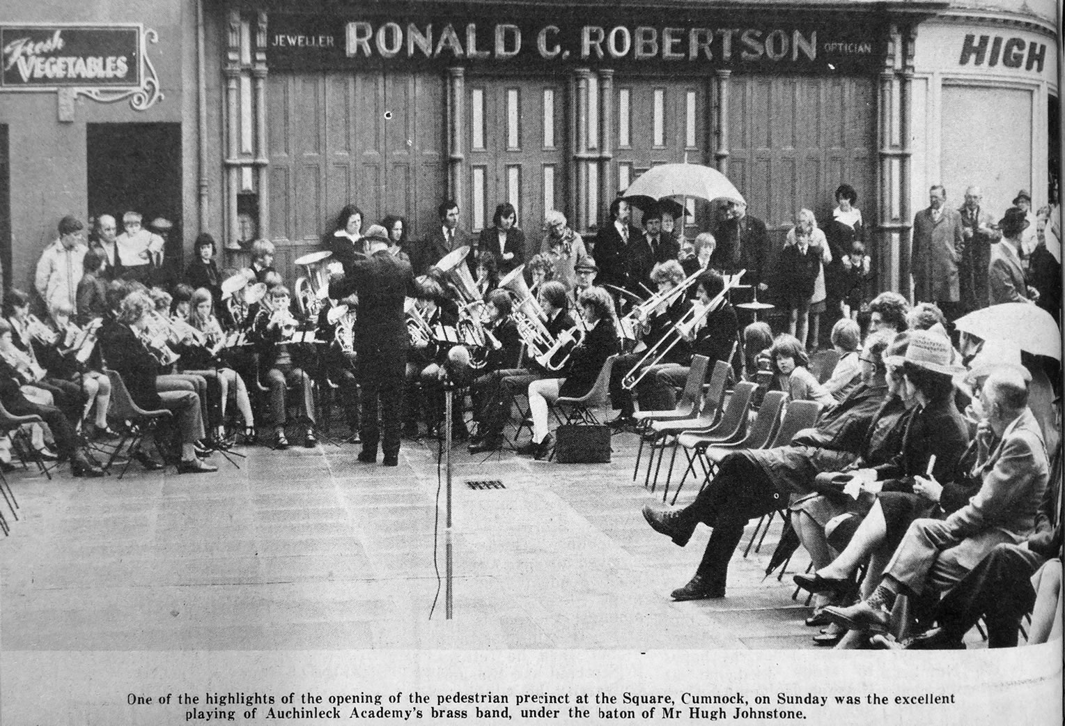
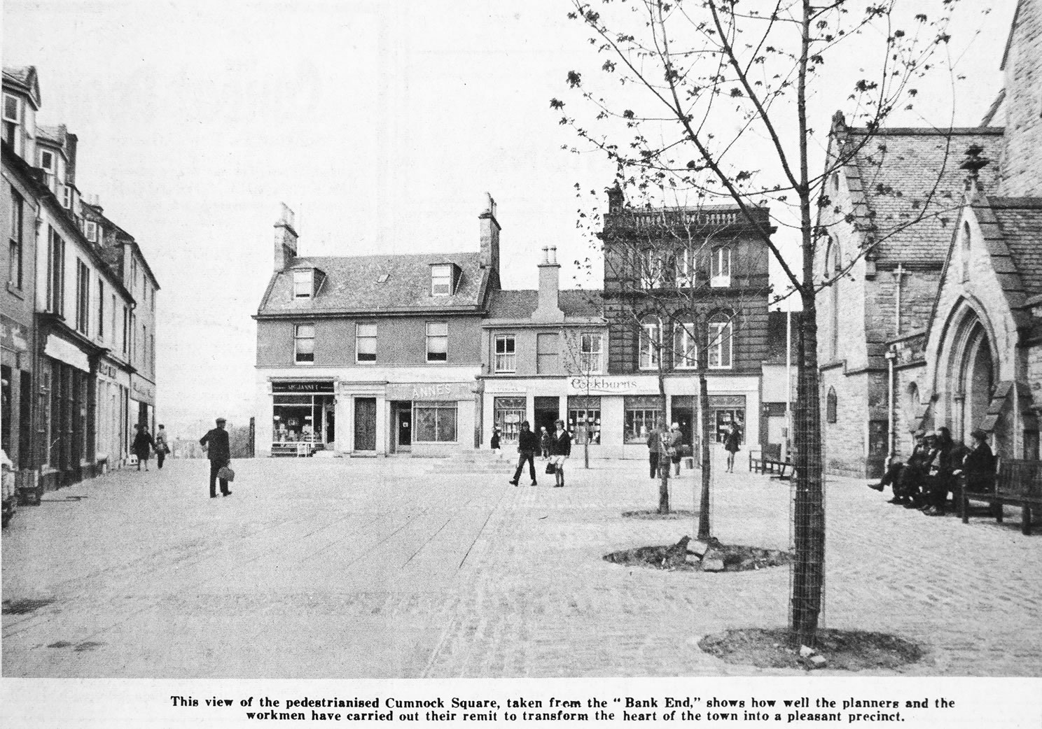
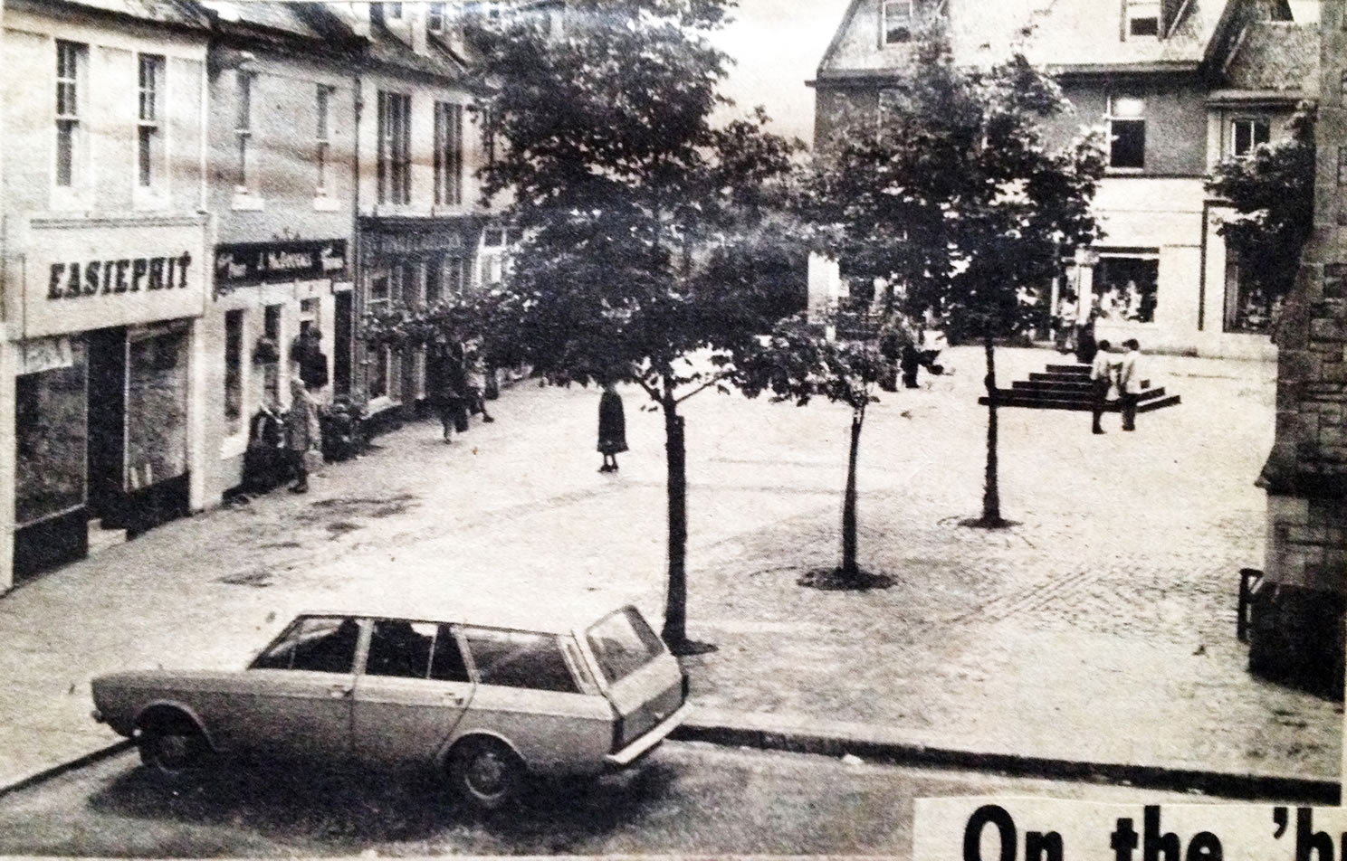
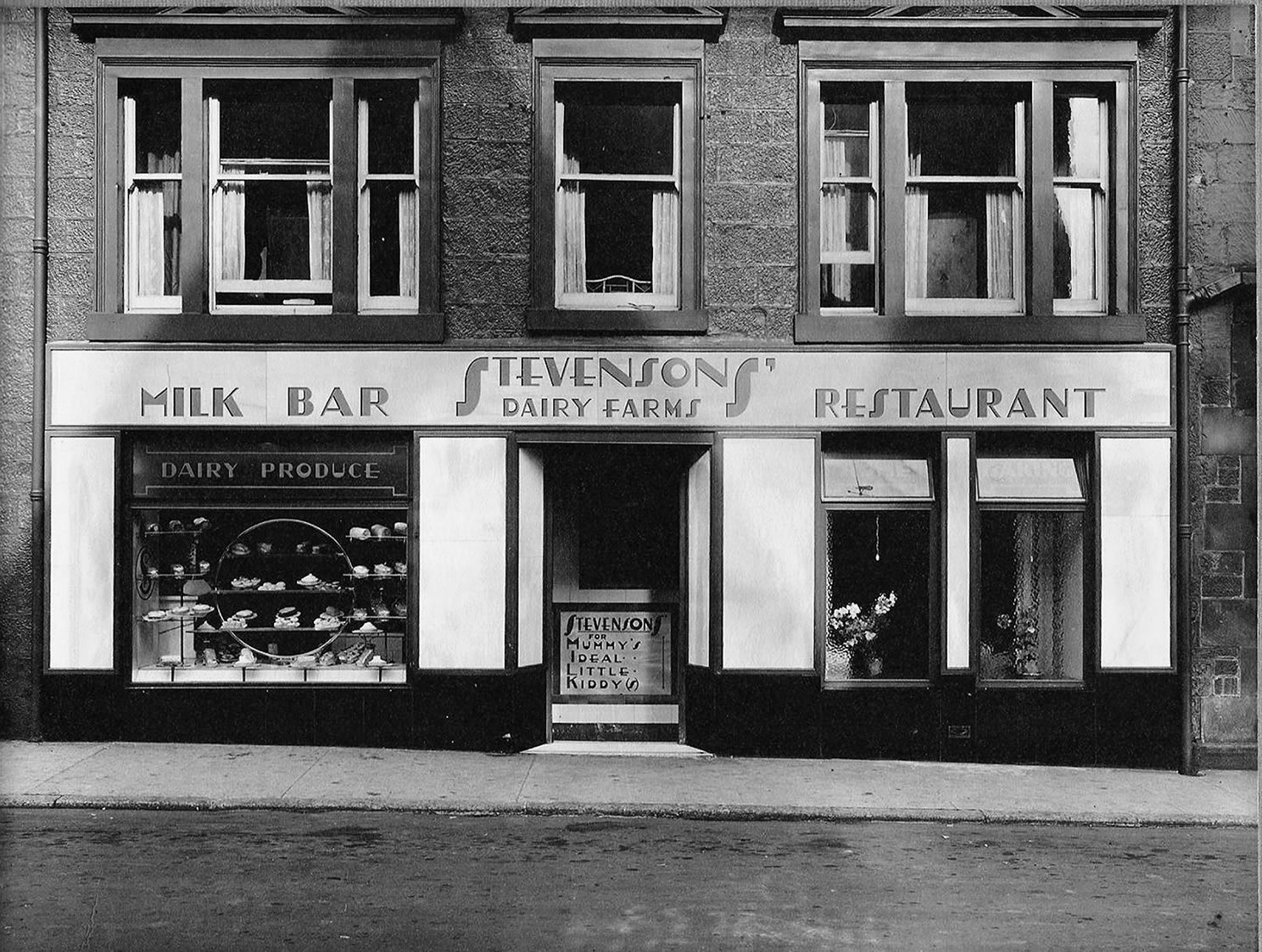
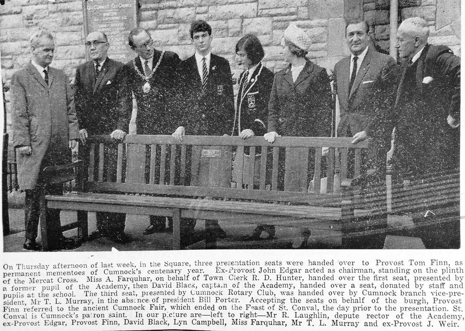
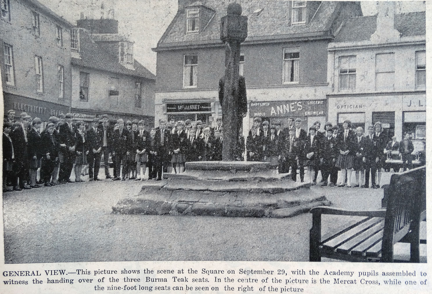
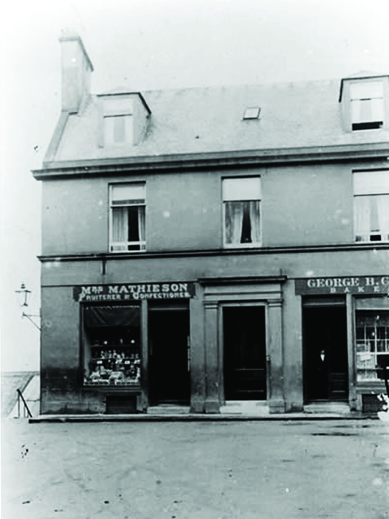
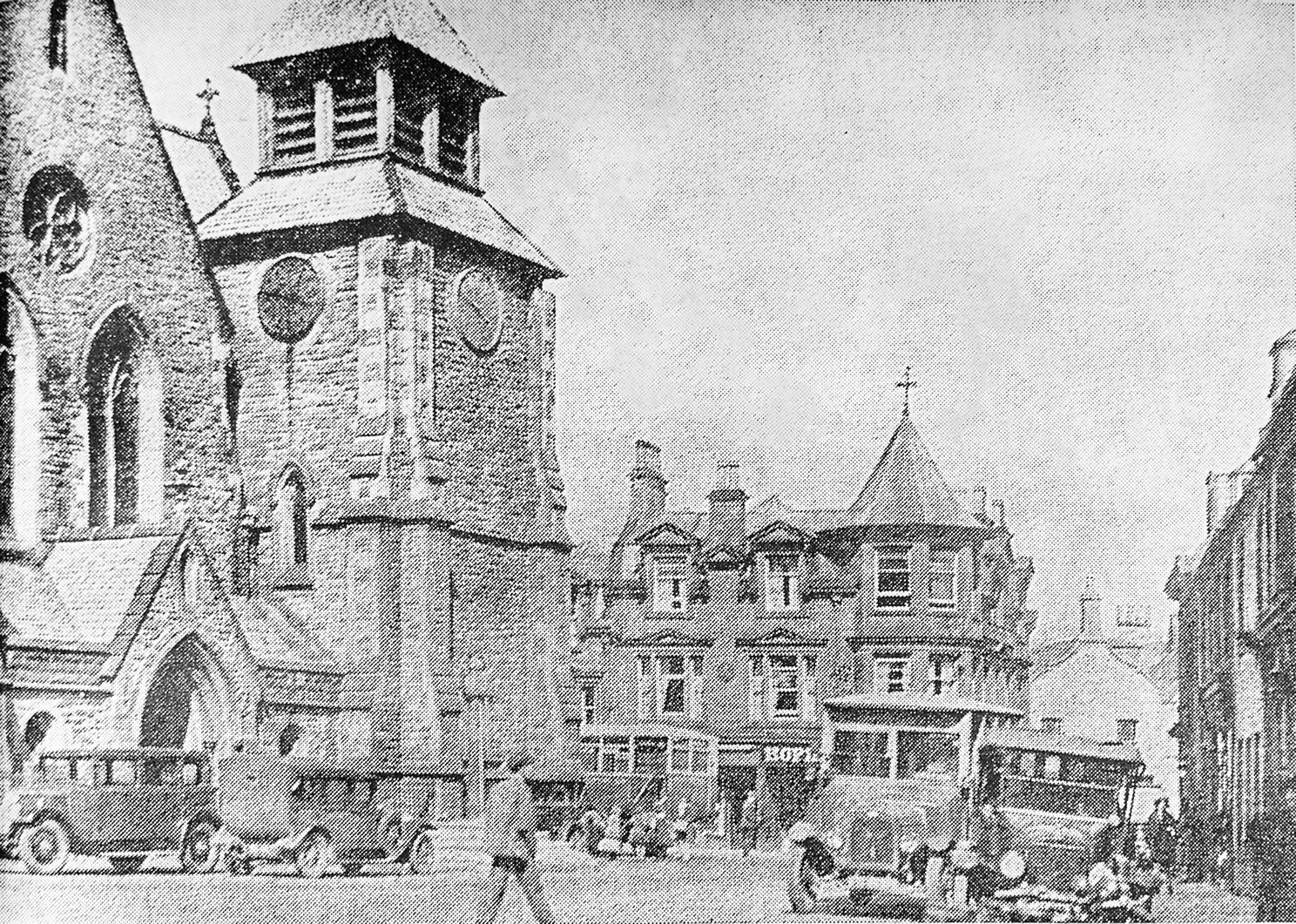
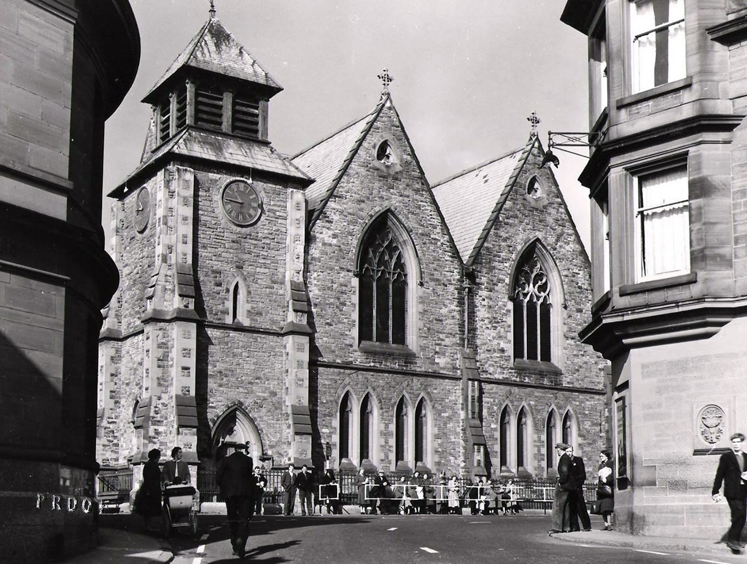
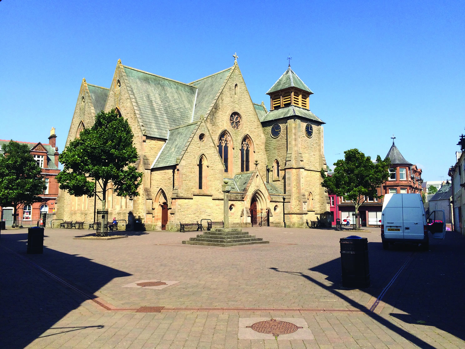
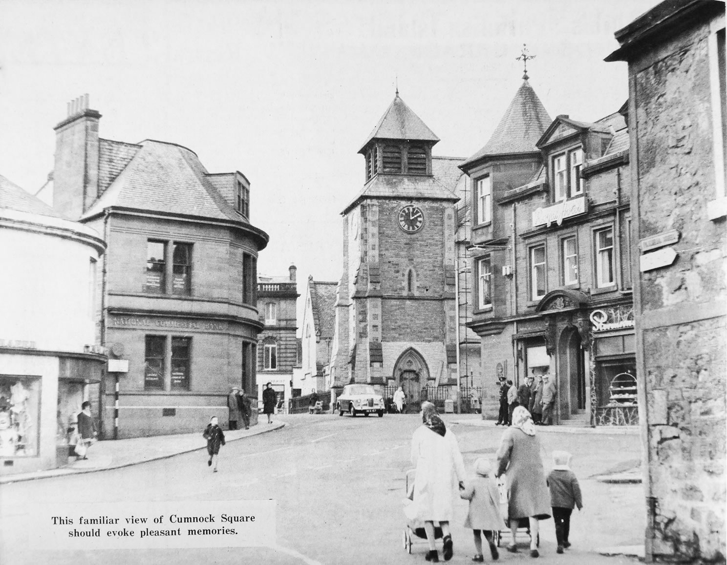
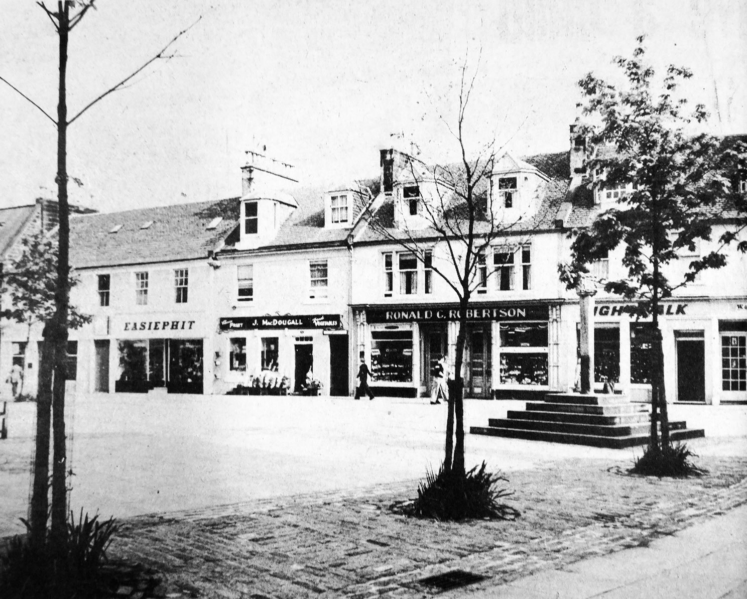
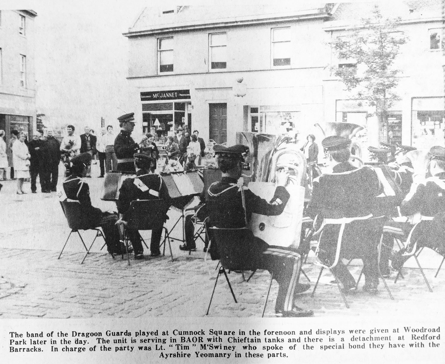
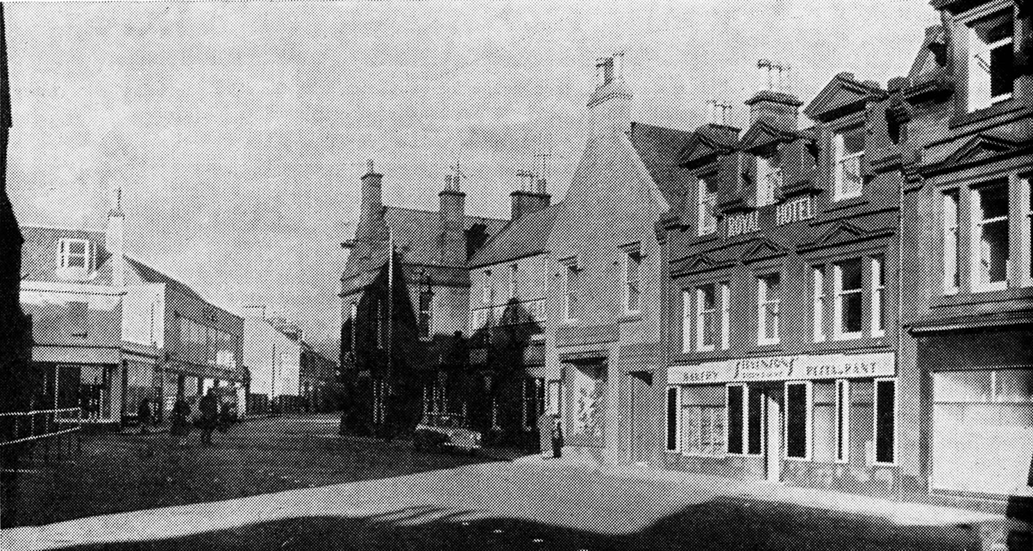
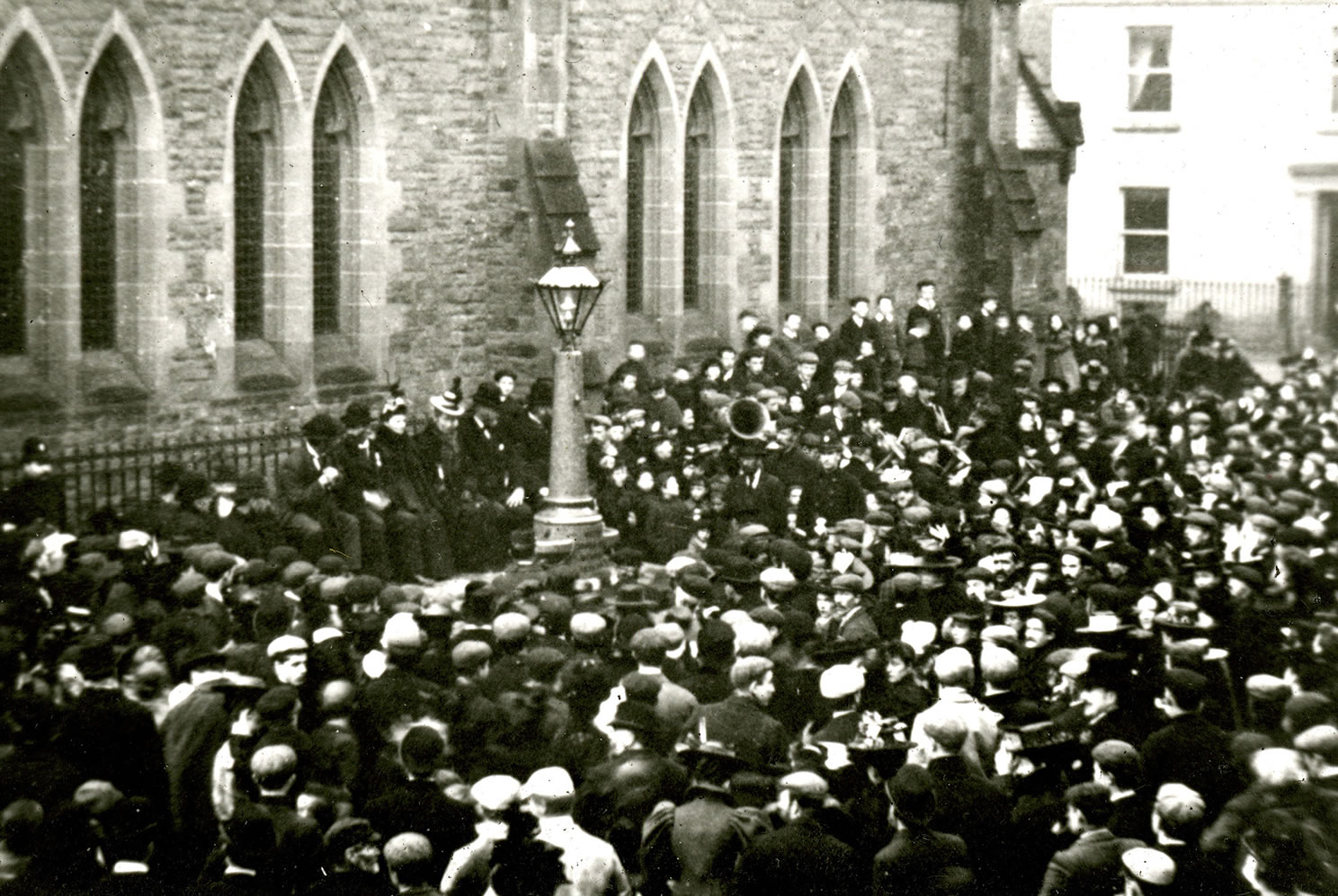
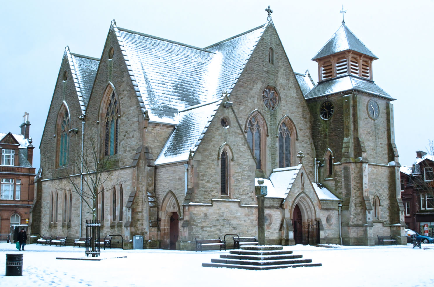
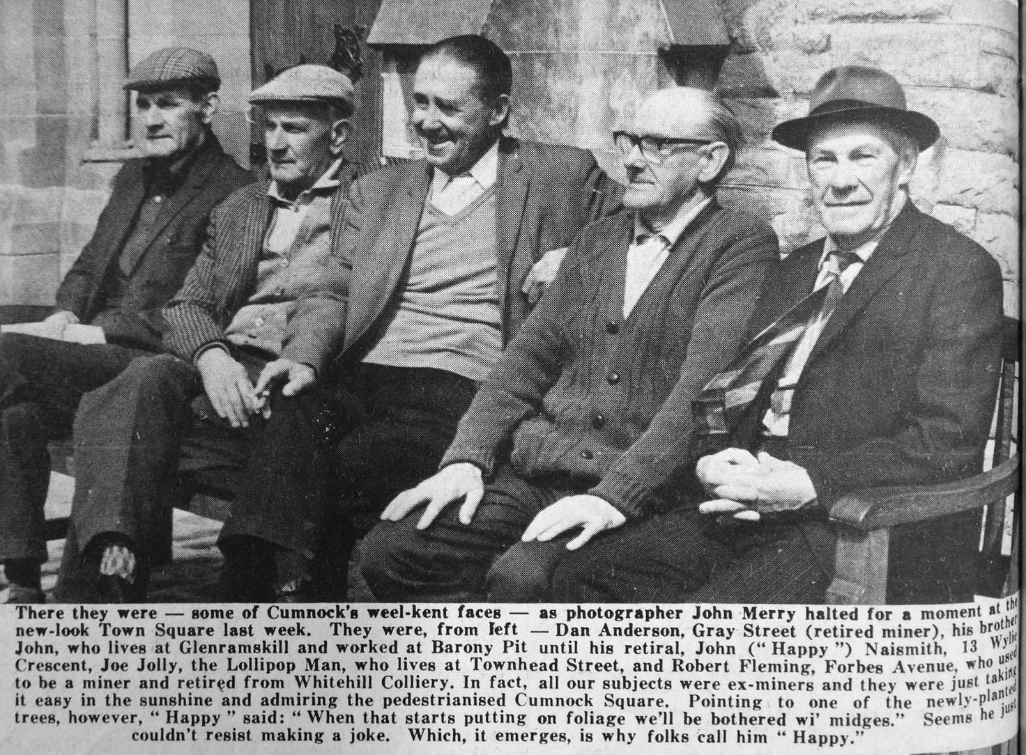
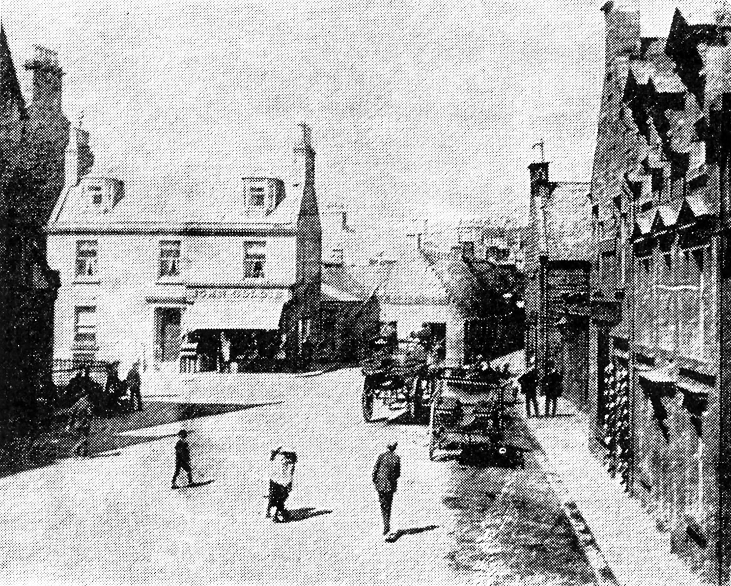
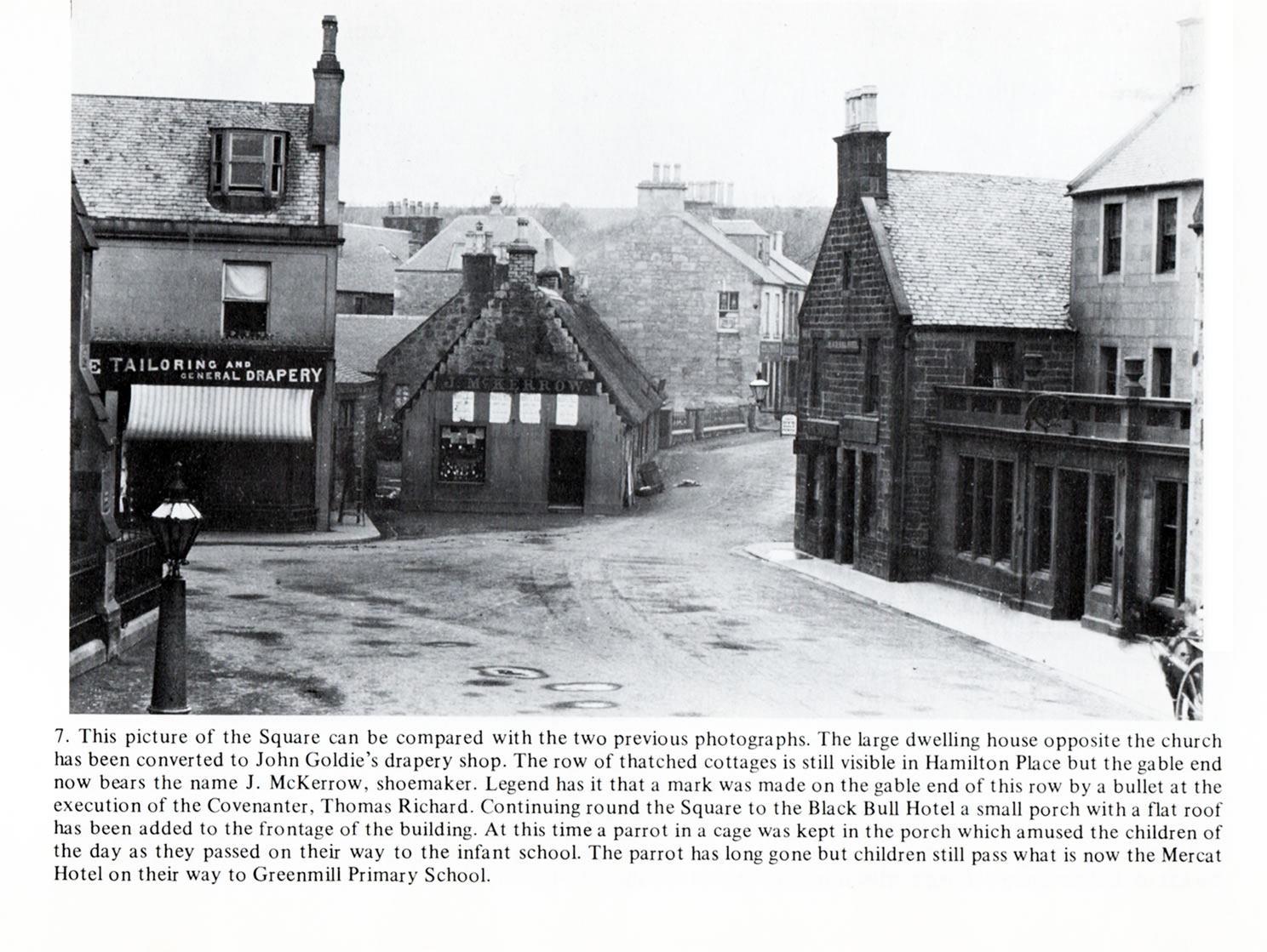
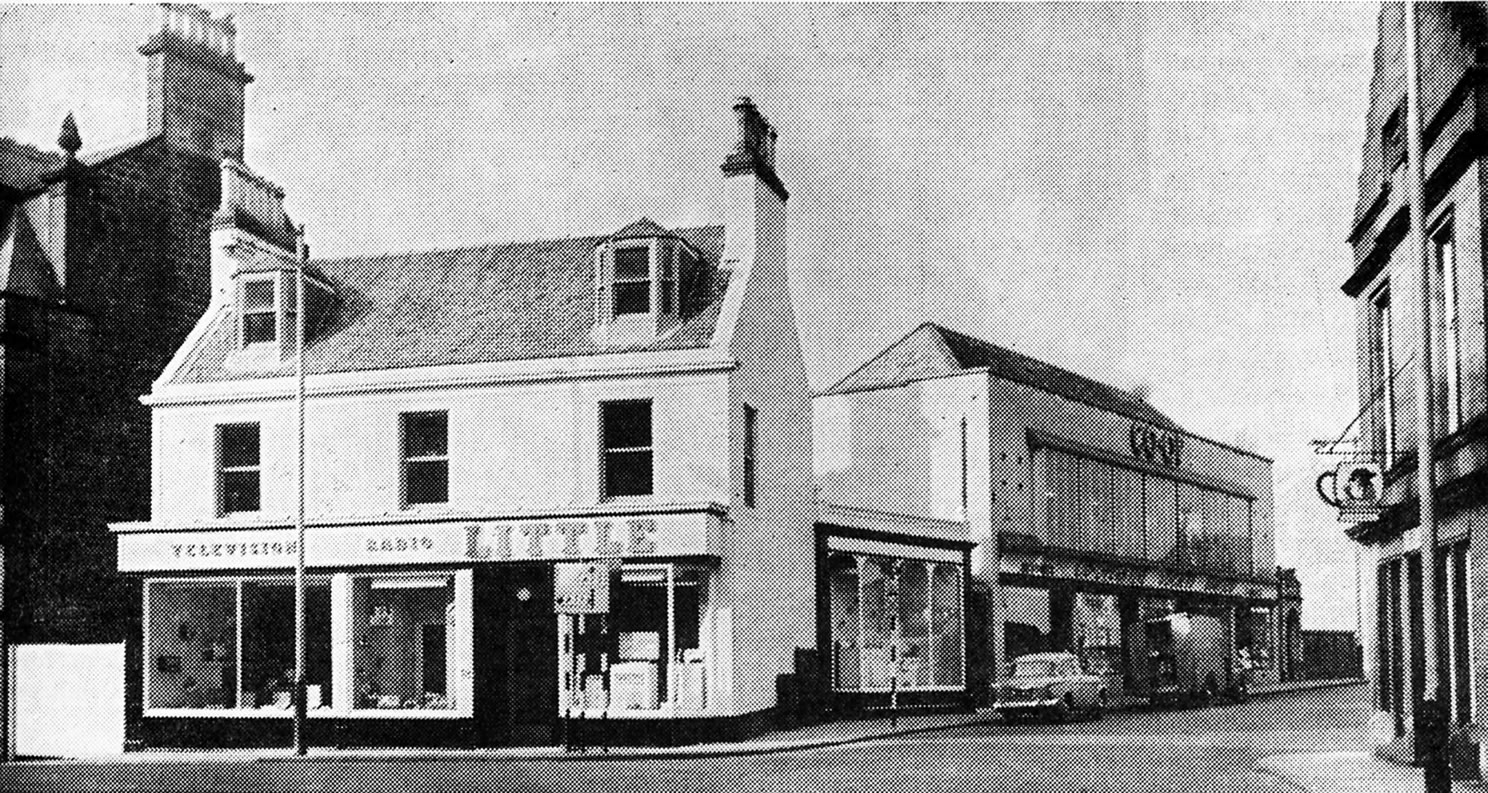
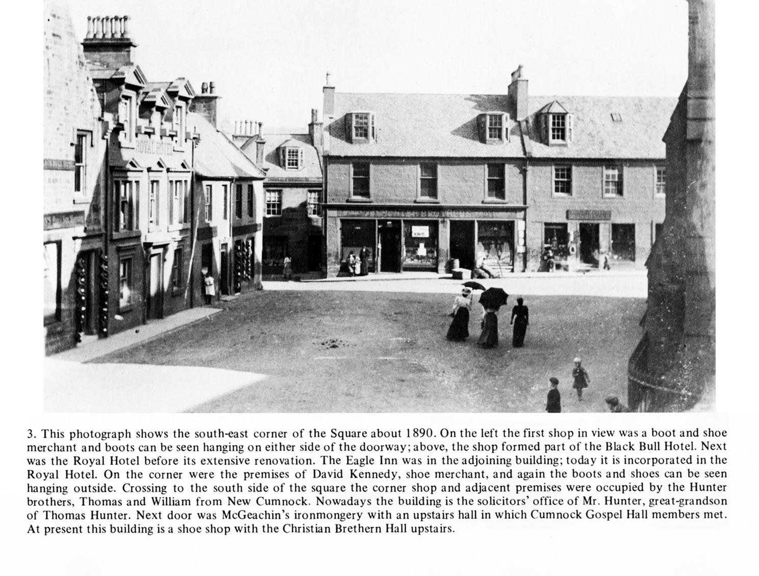
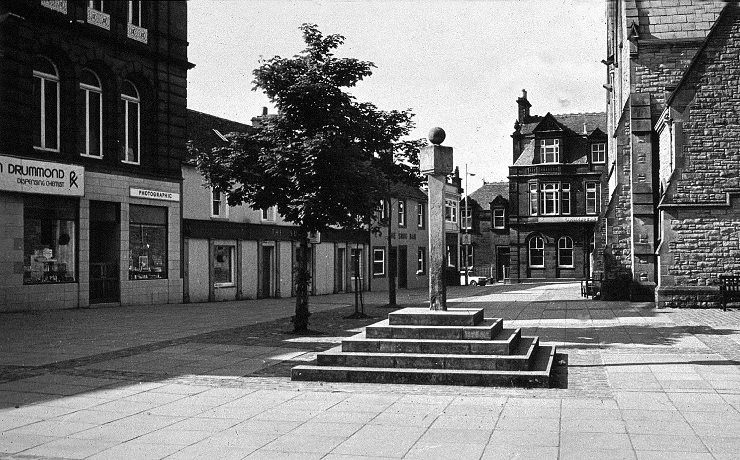
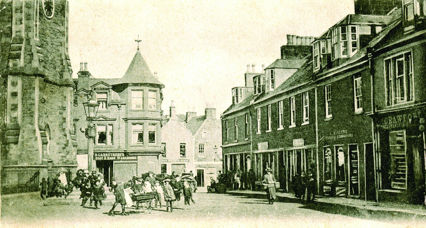
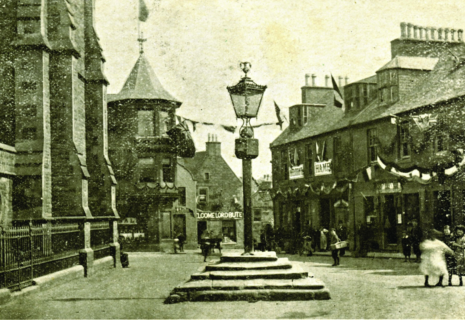
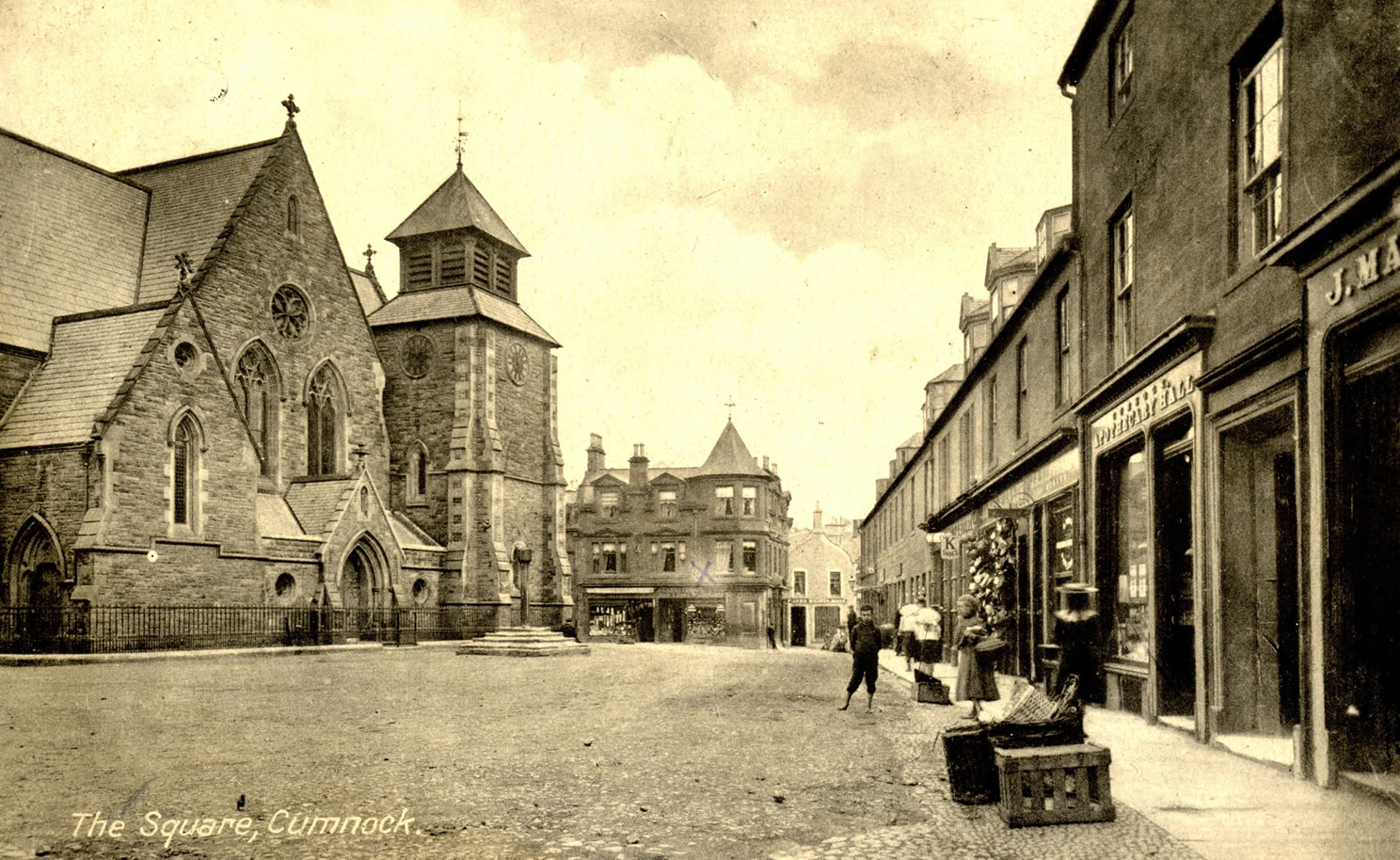
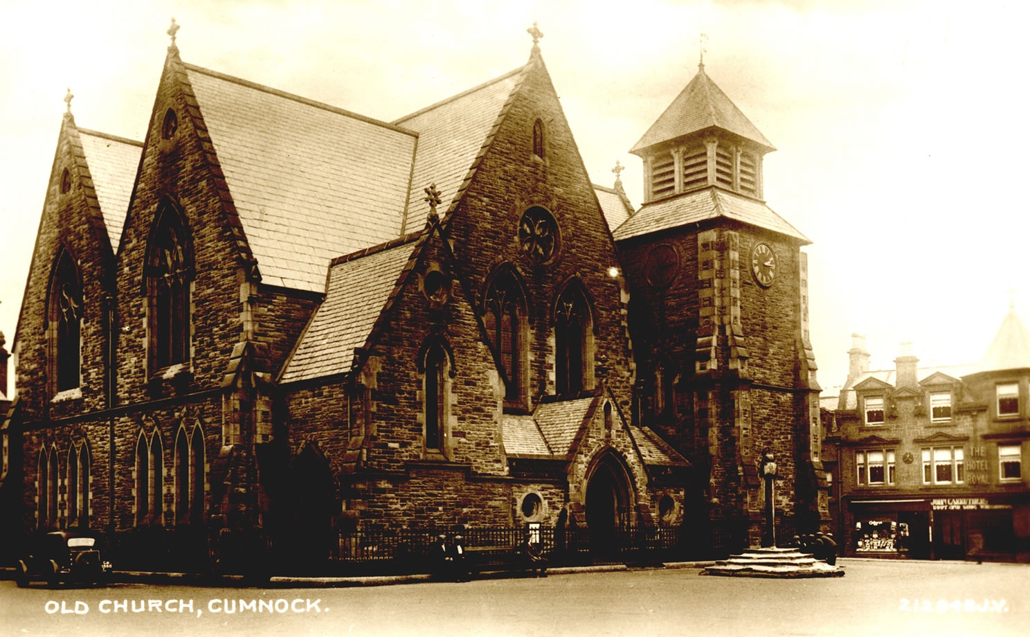
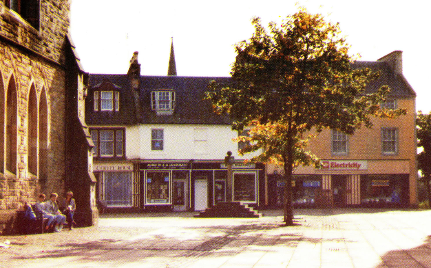
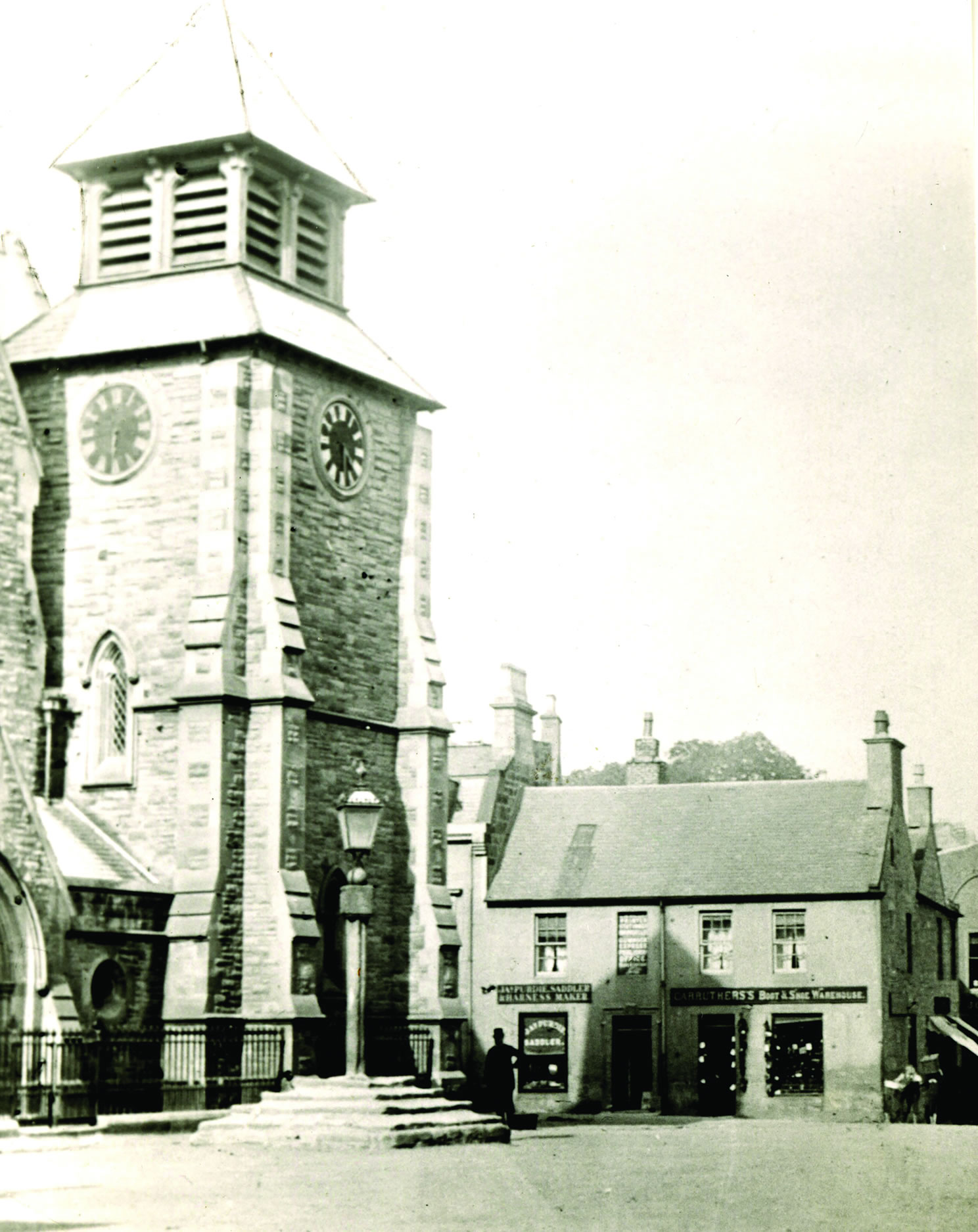
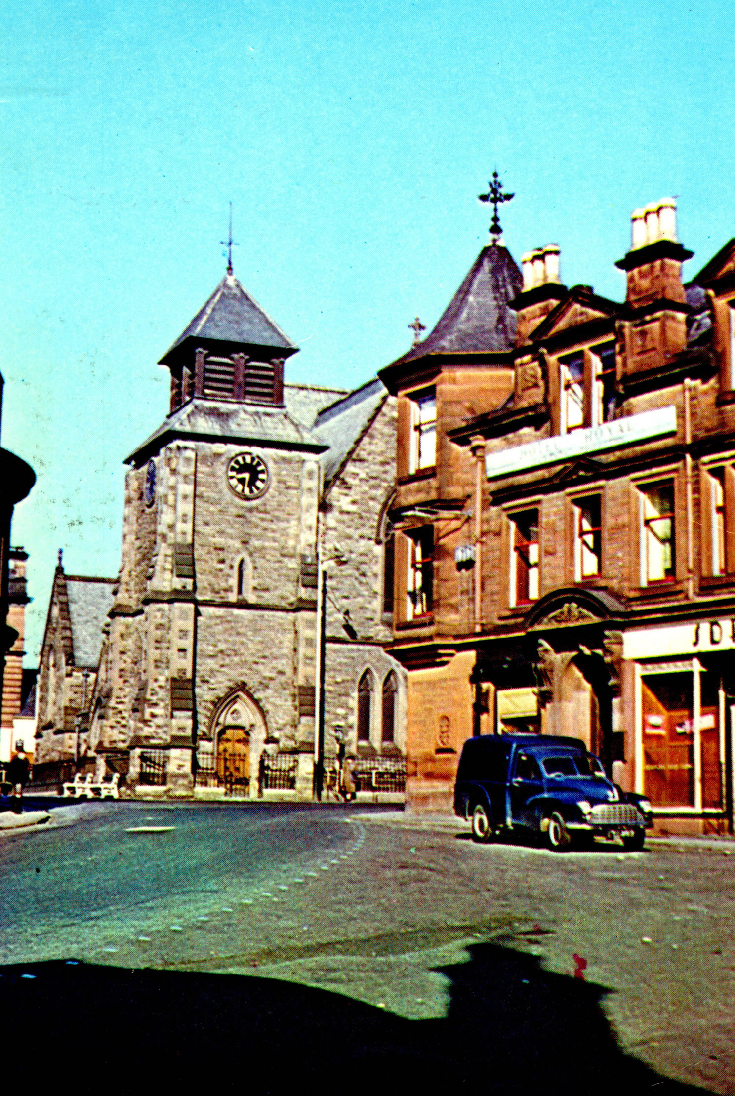
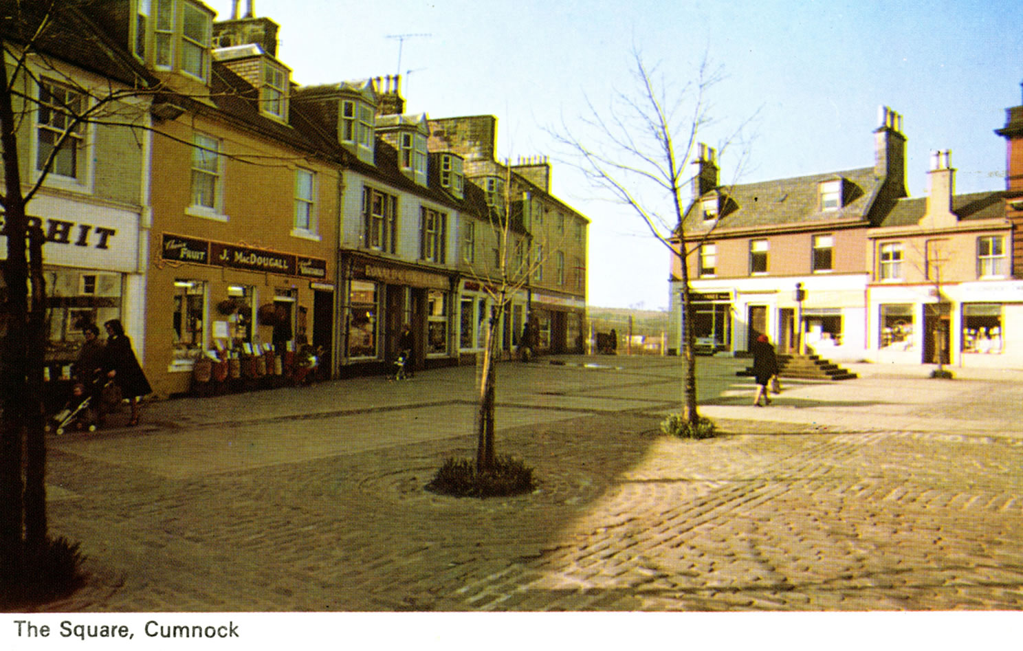
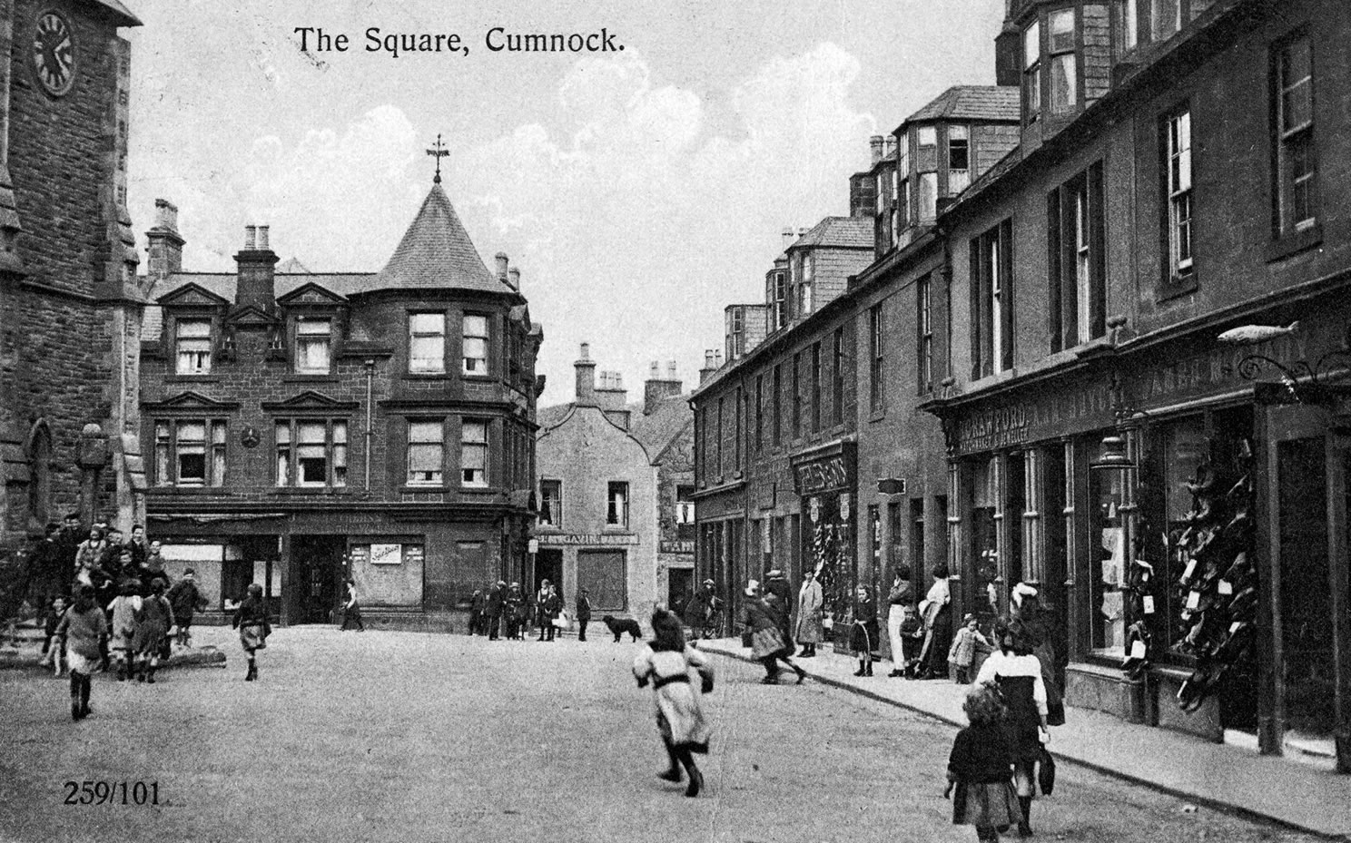
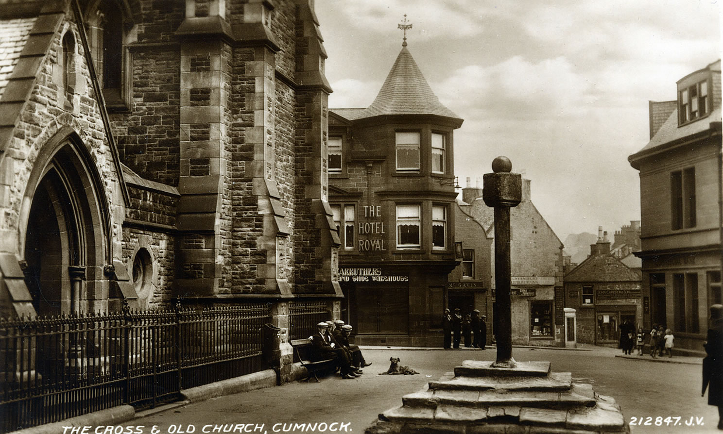
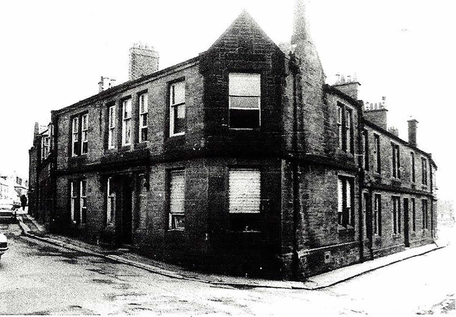
A selection of views and articles about the Square and the surrounding area.
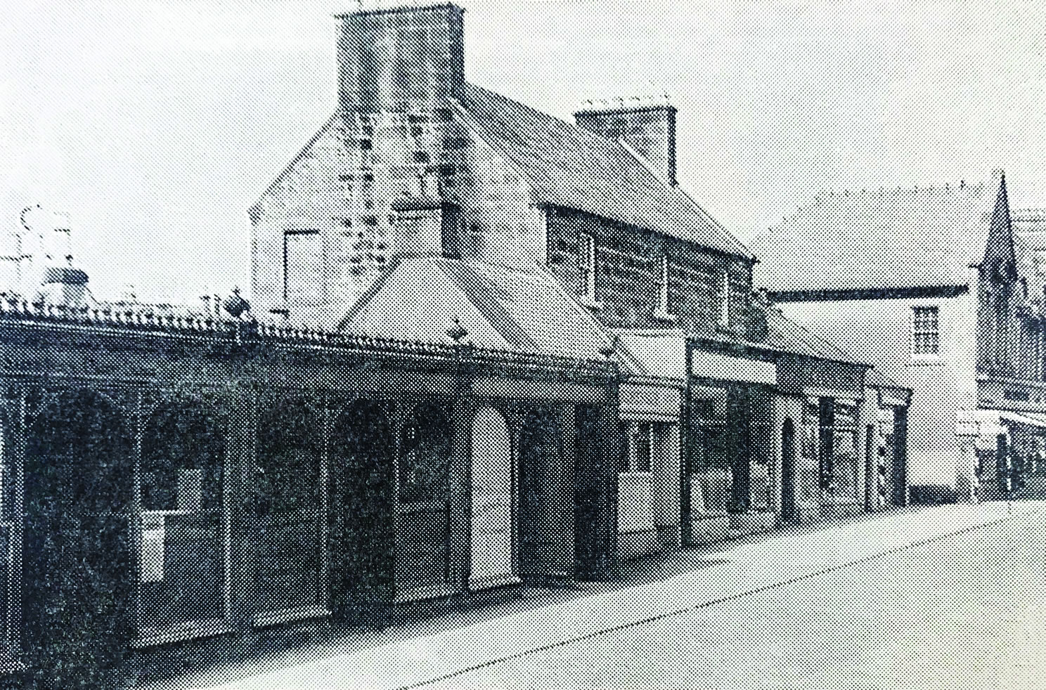
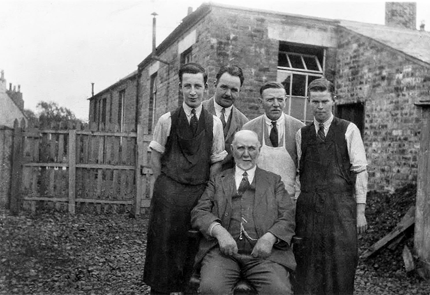
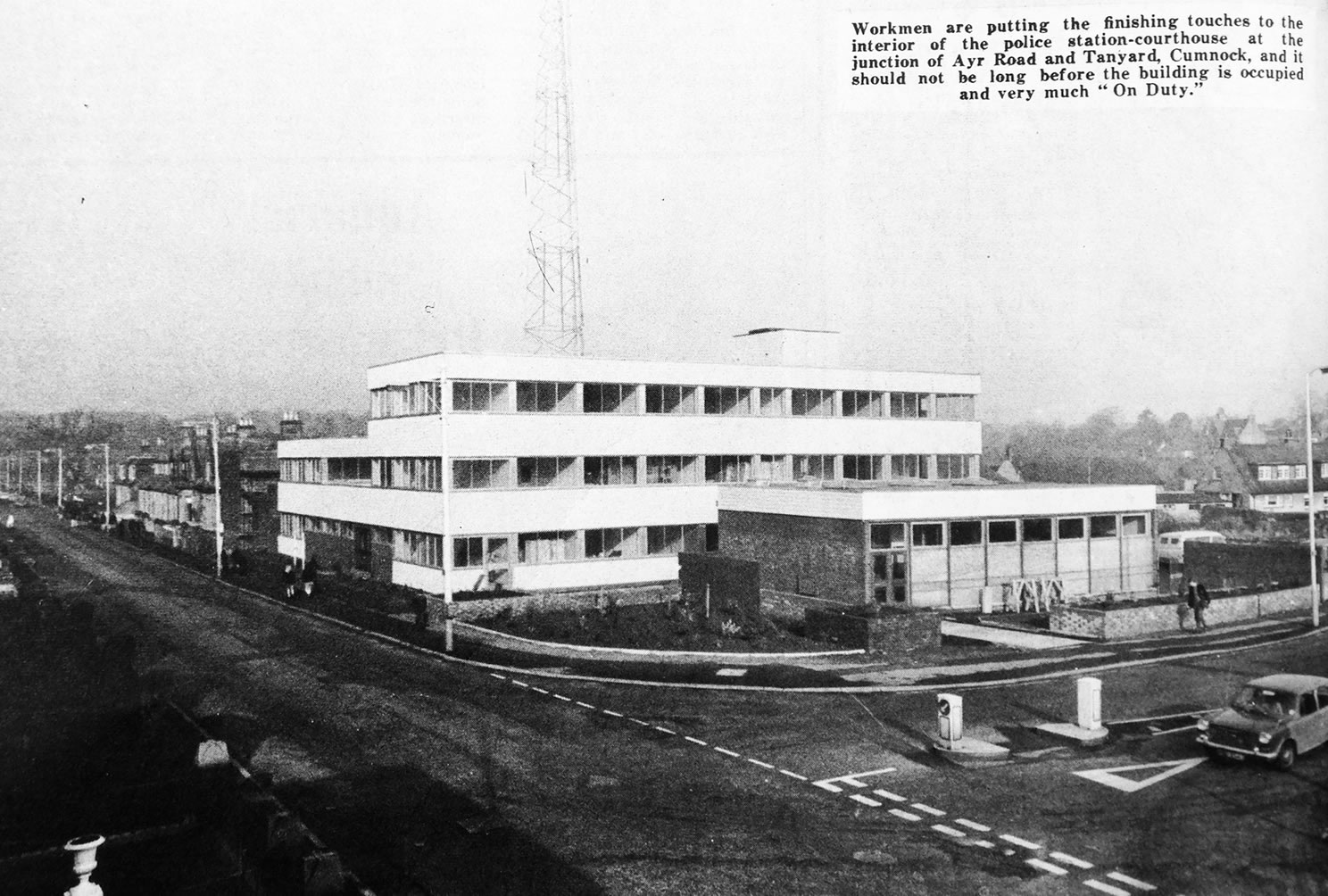
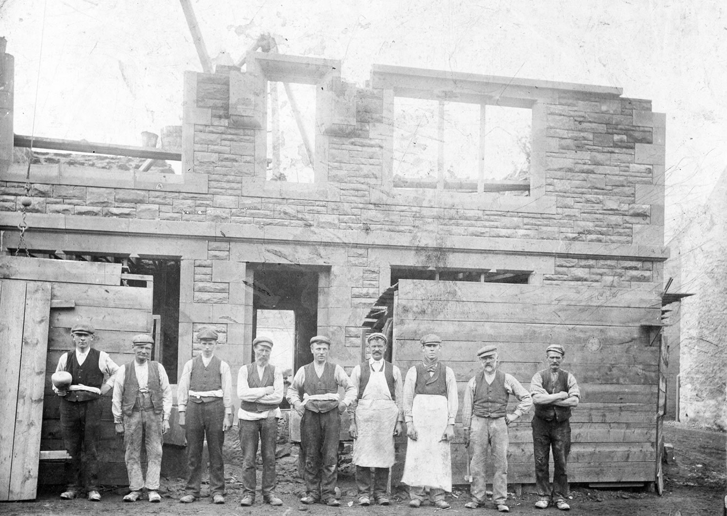
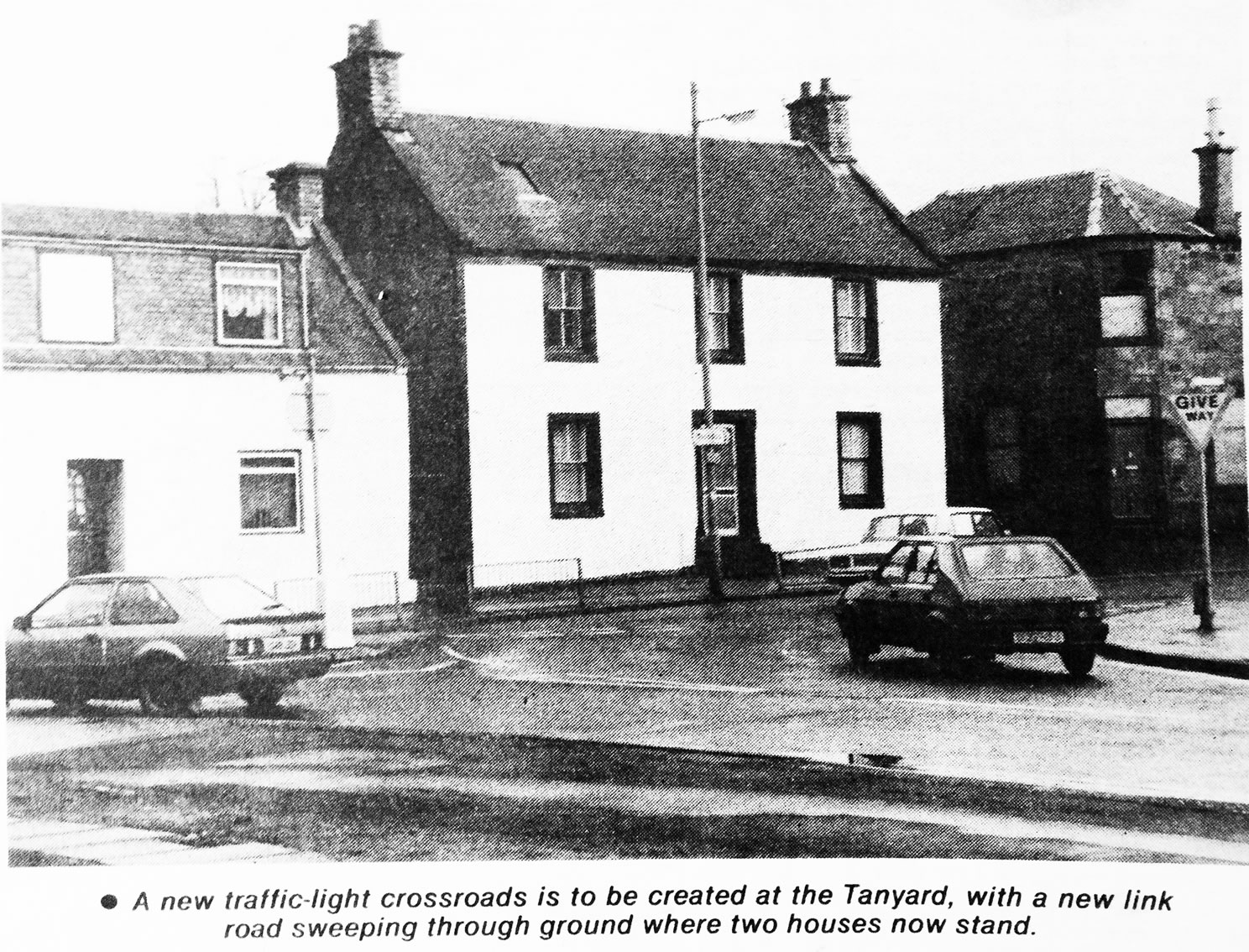
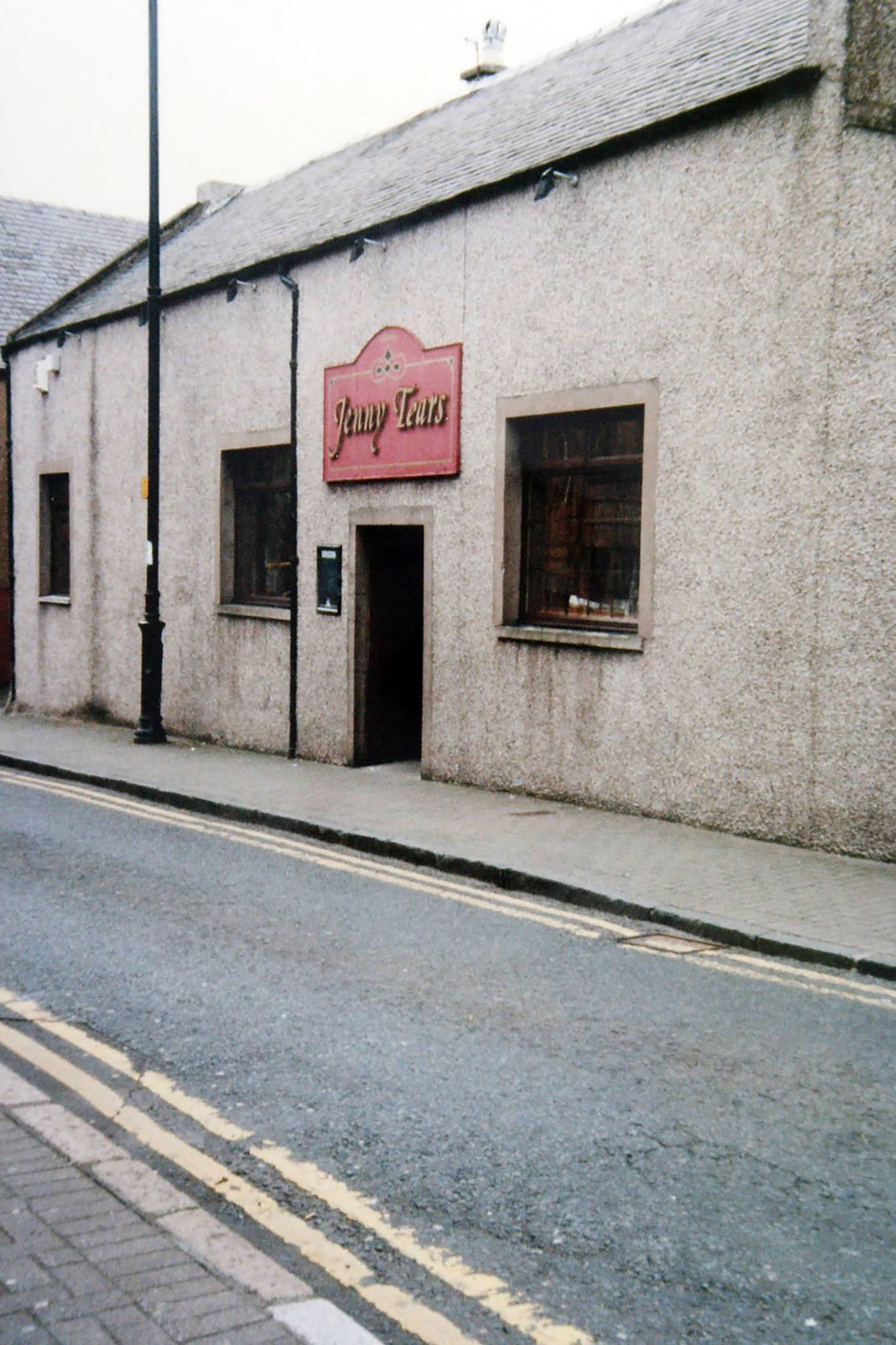
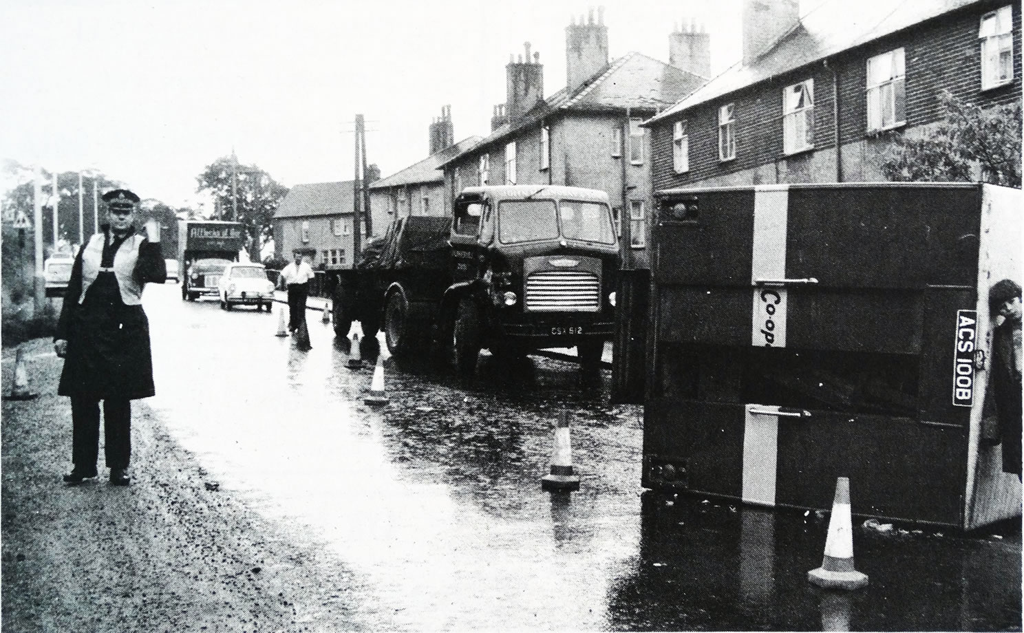
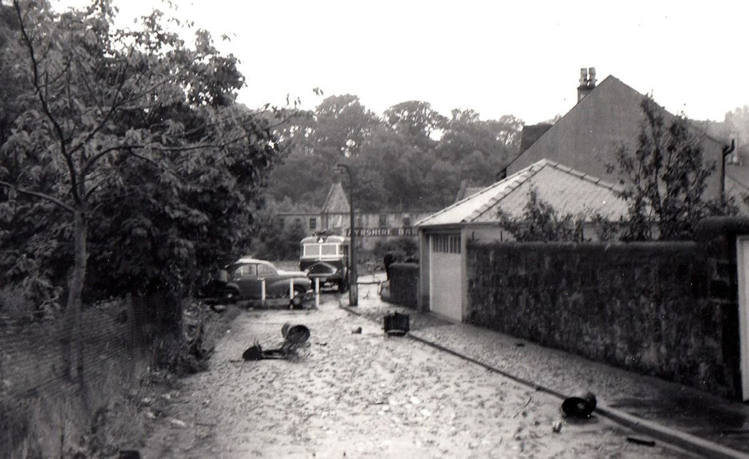
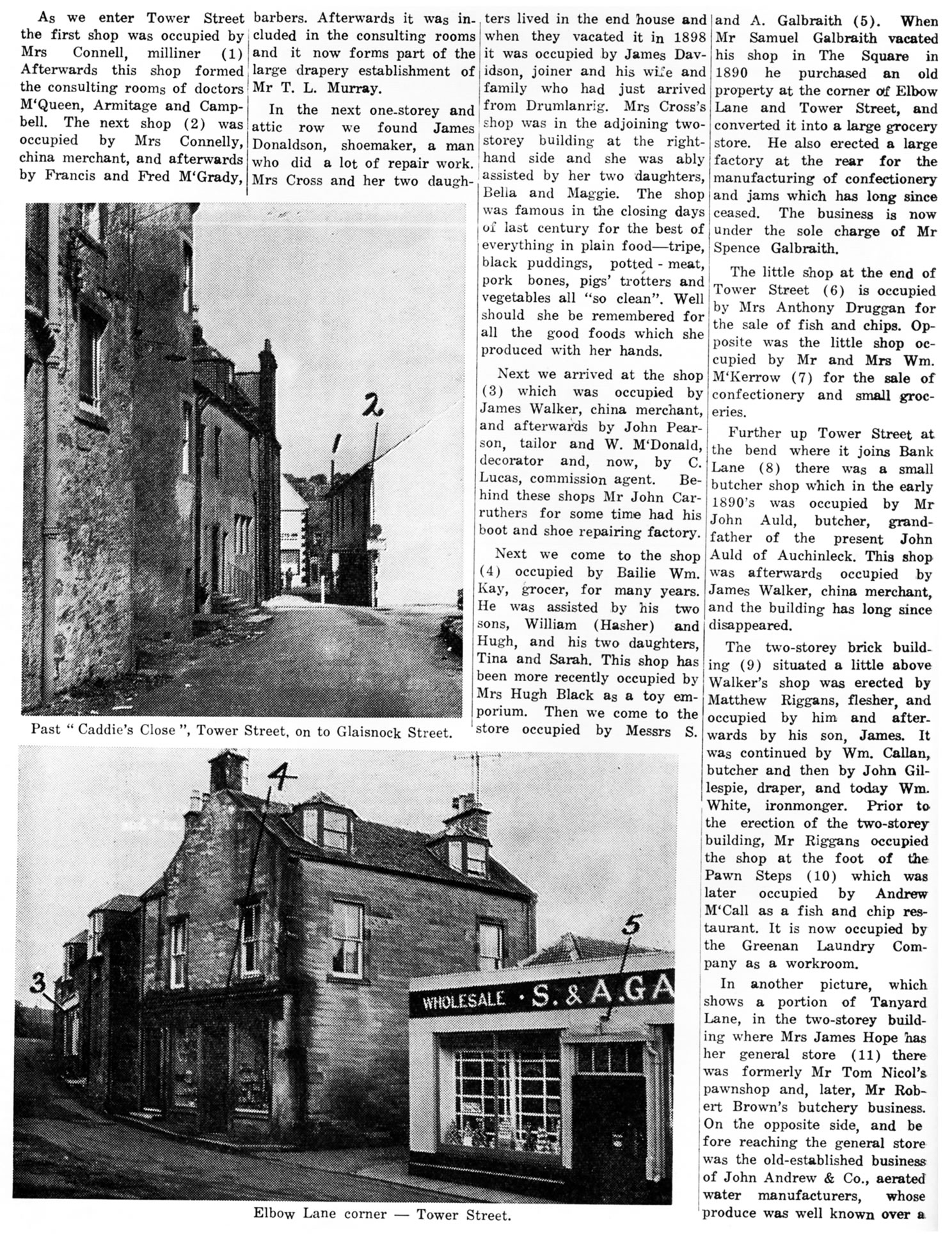
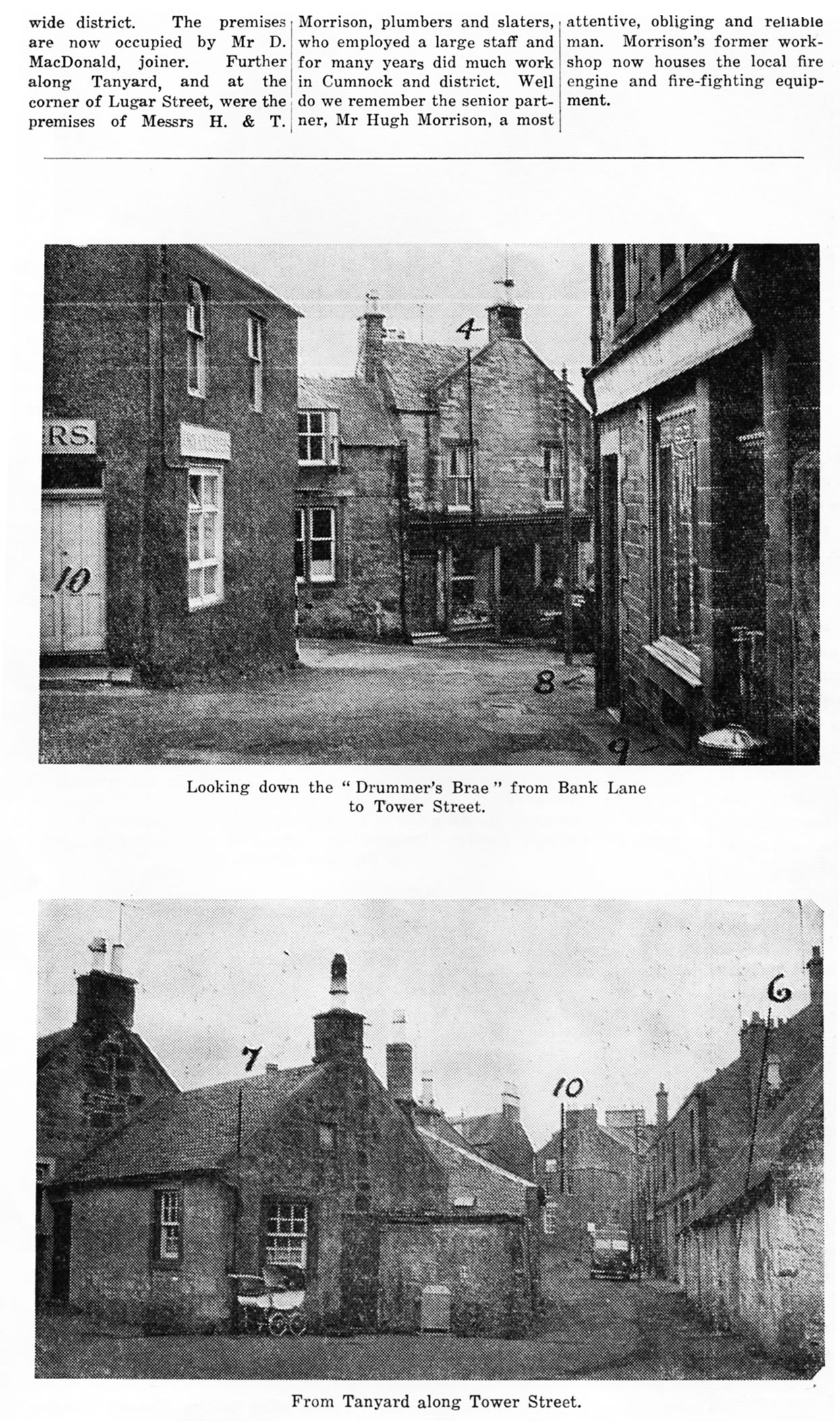
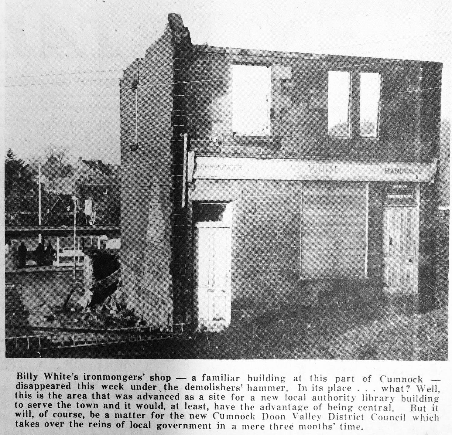
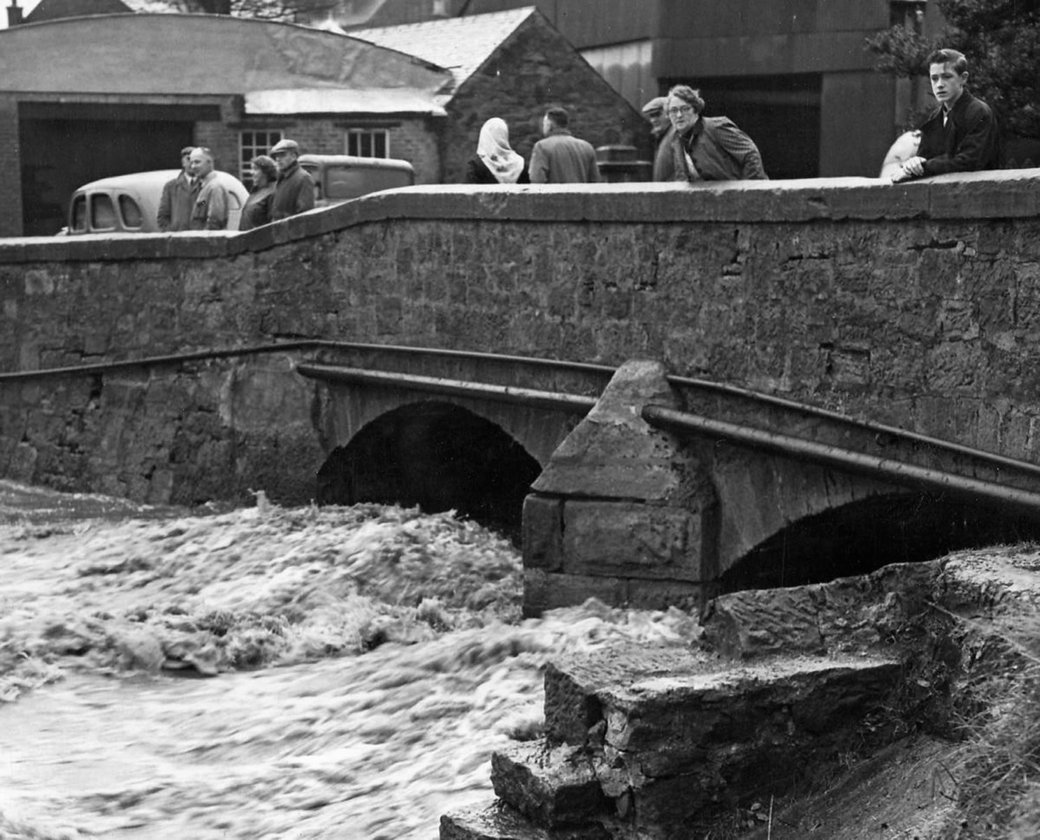
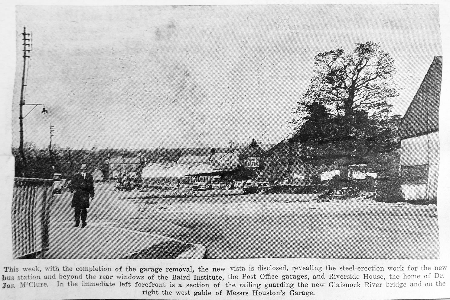
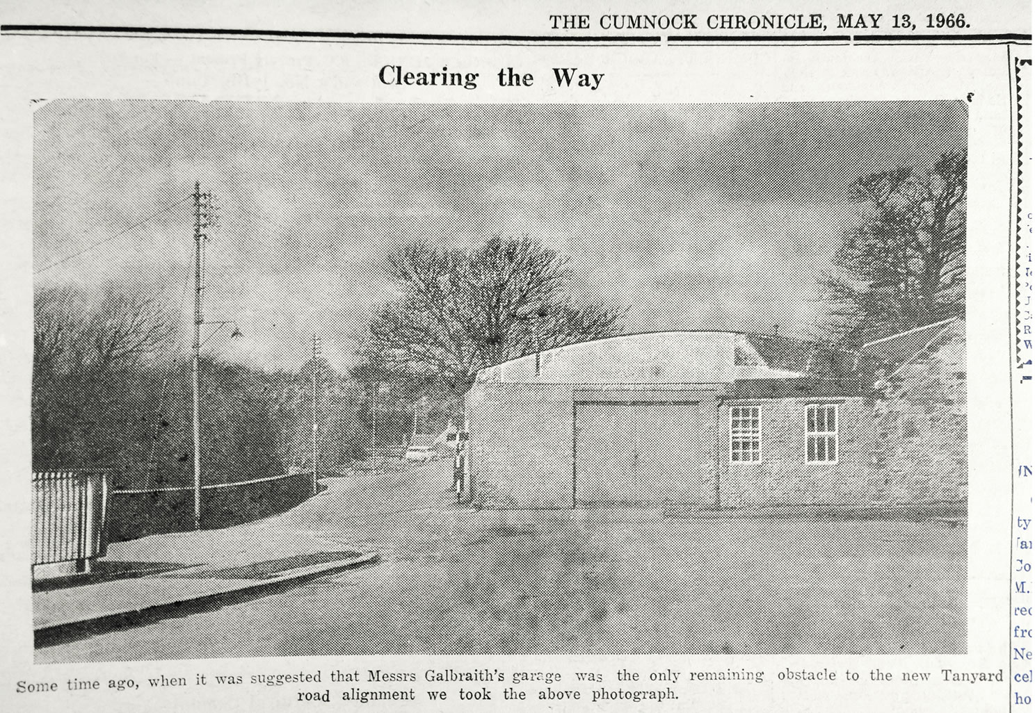
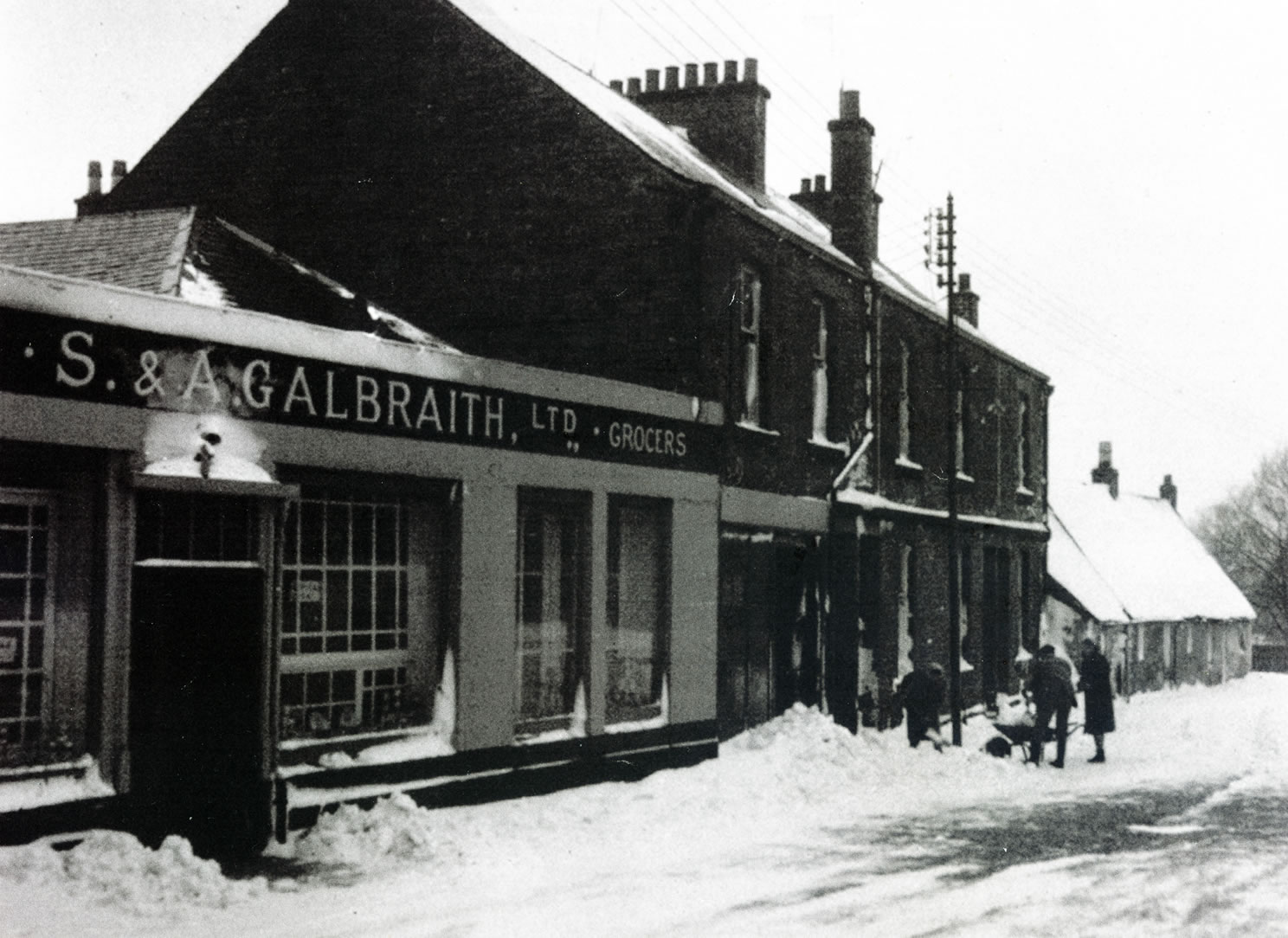
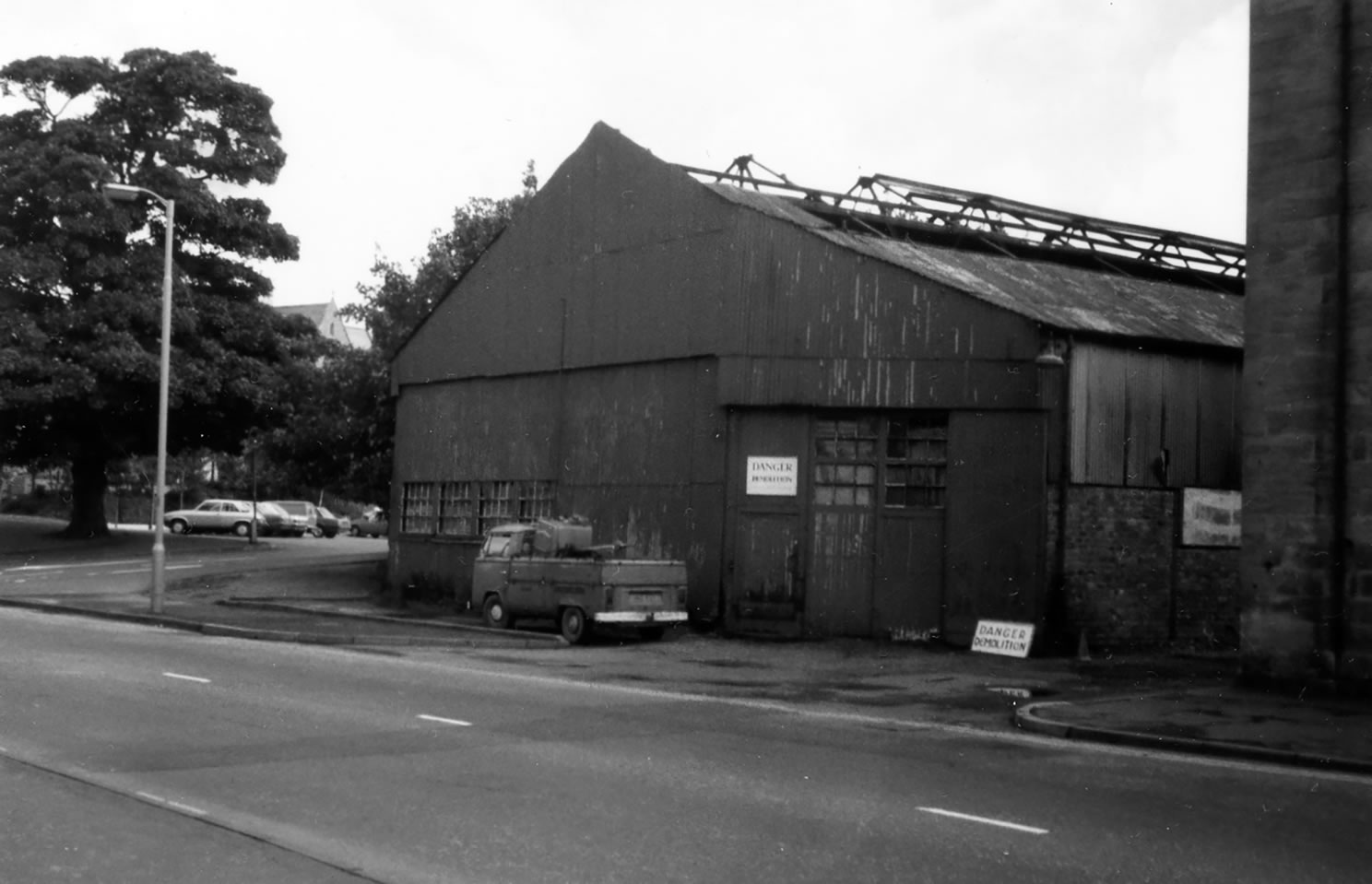
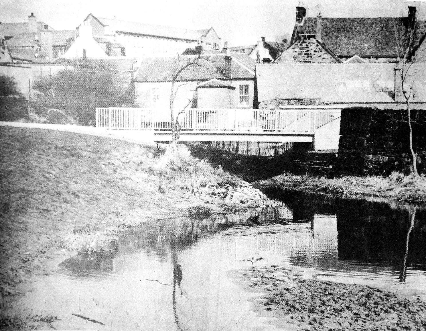
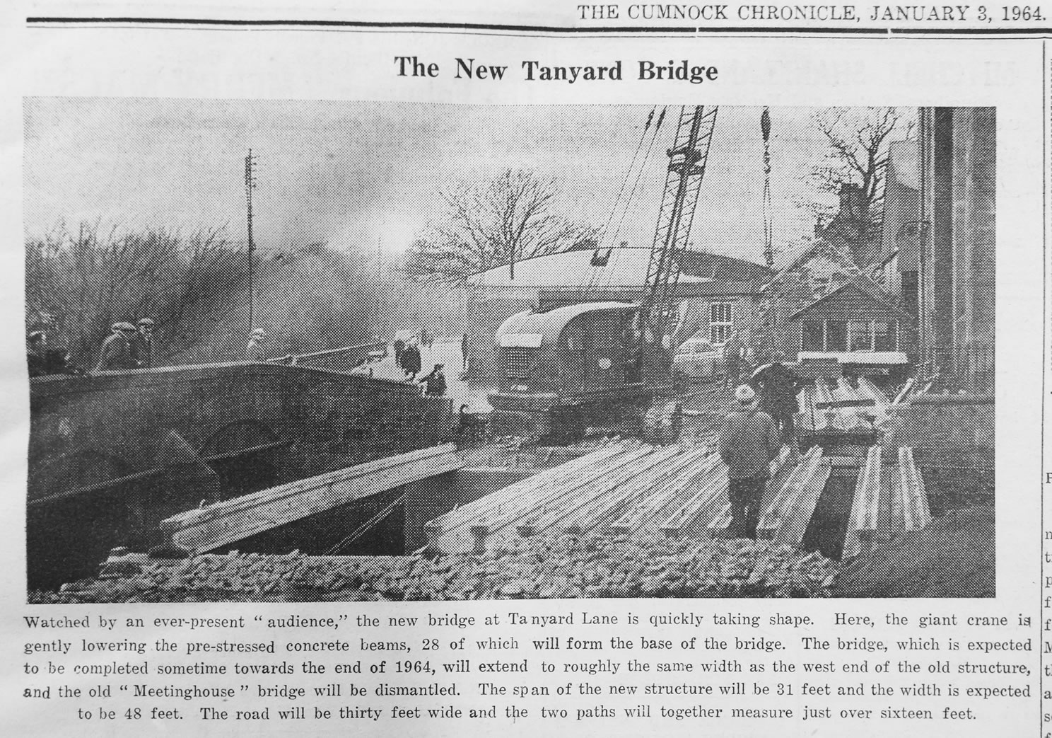
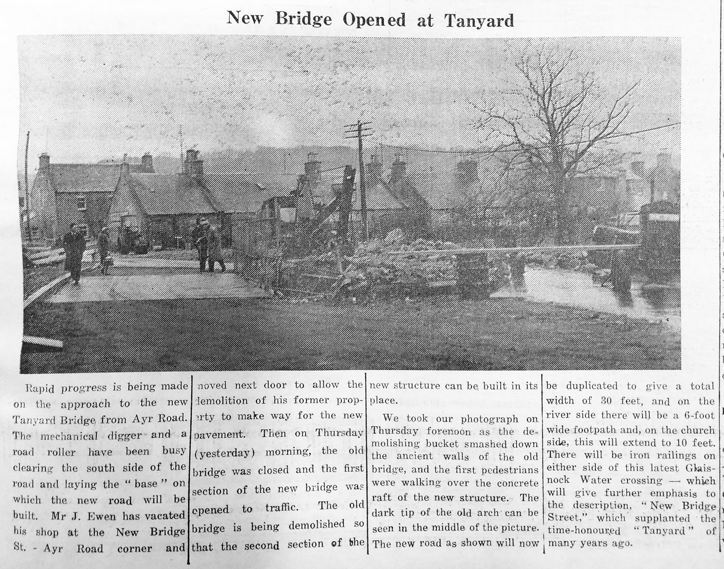
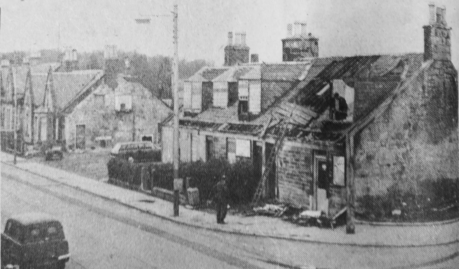
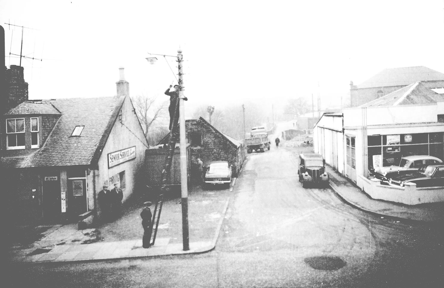
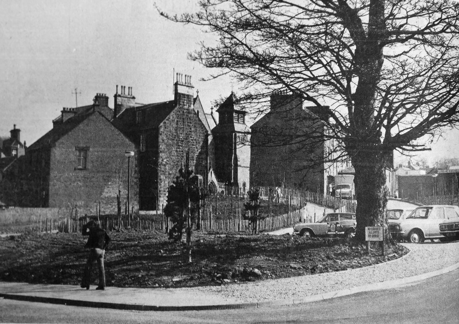
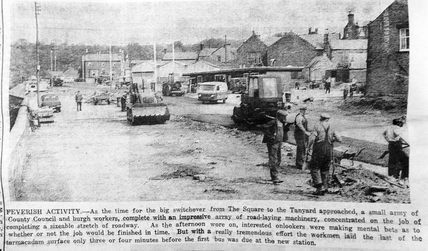
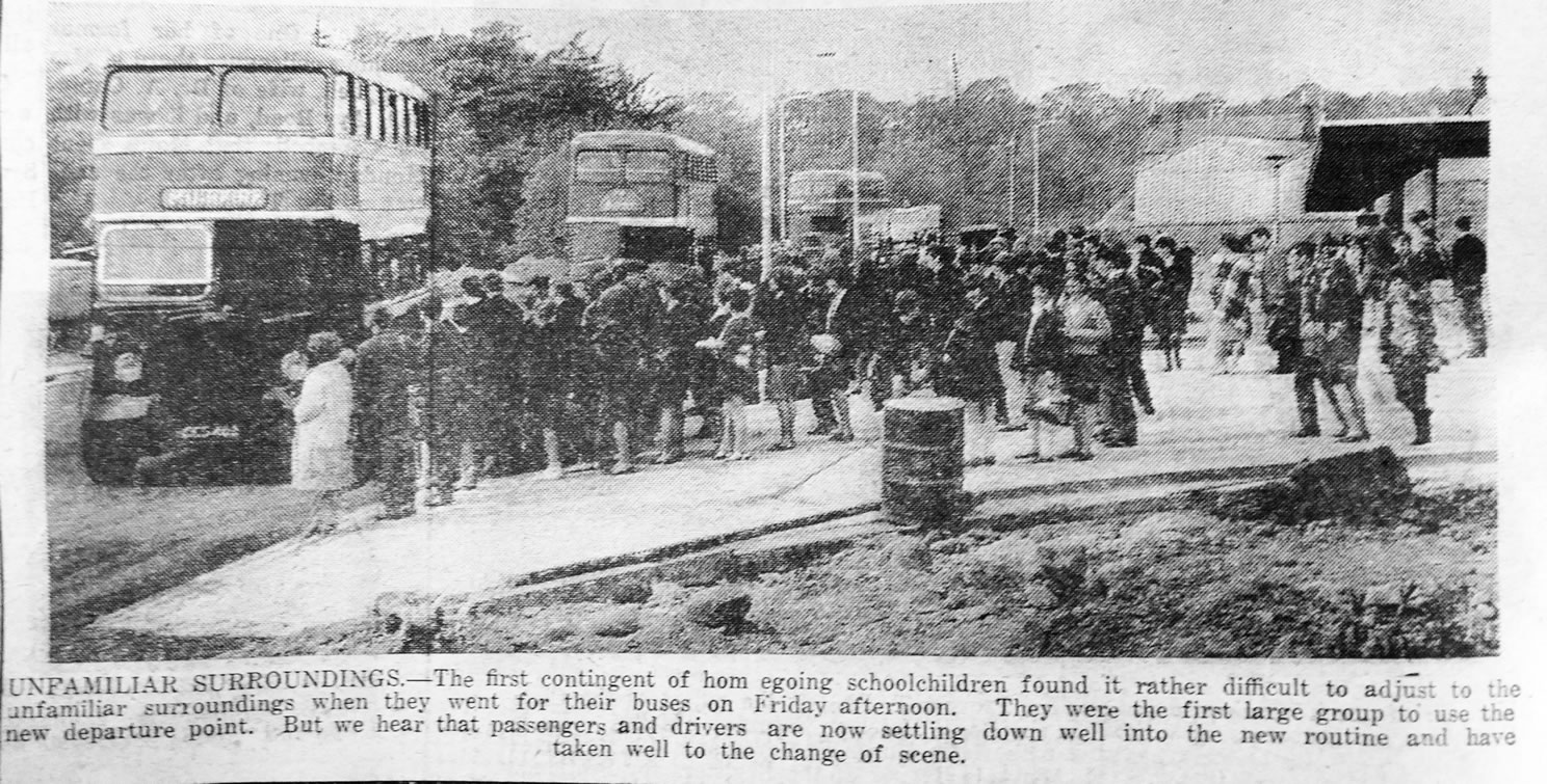
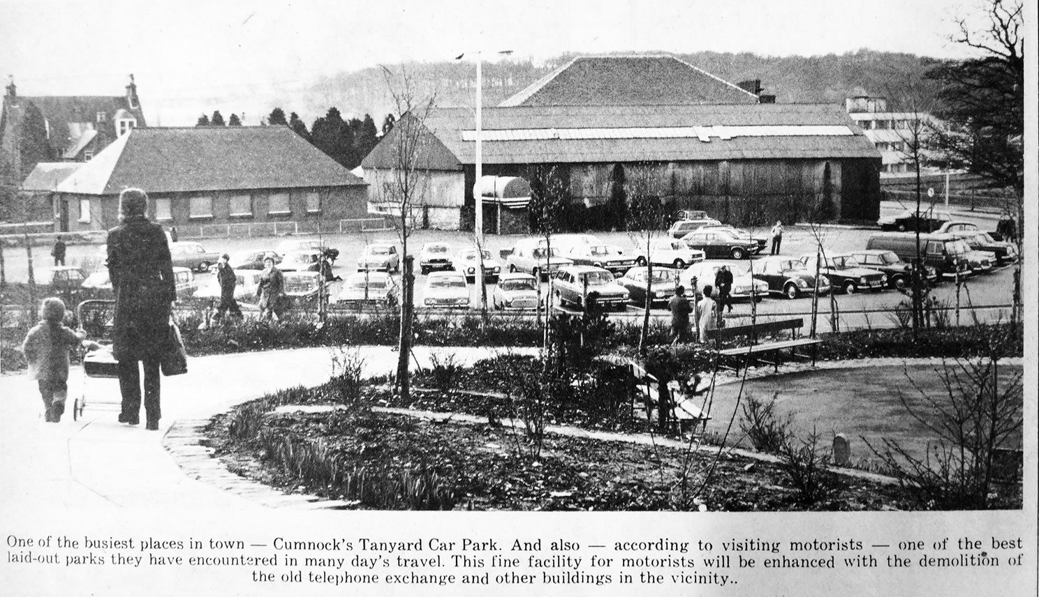
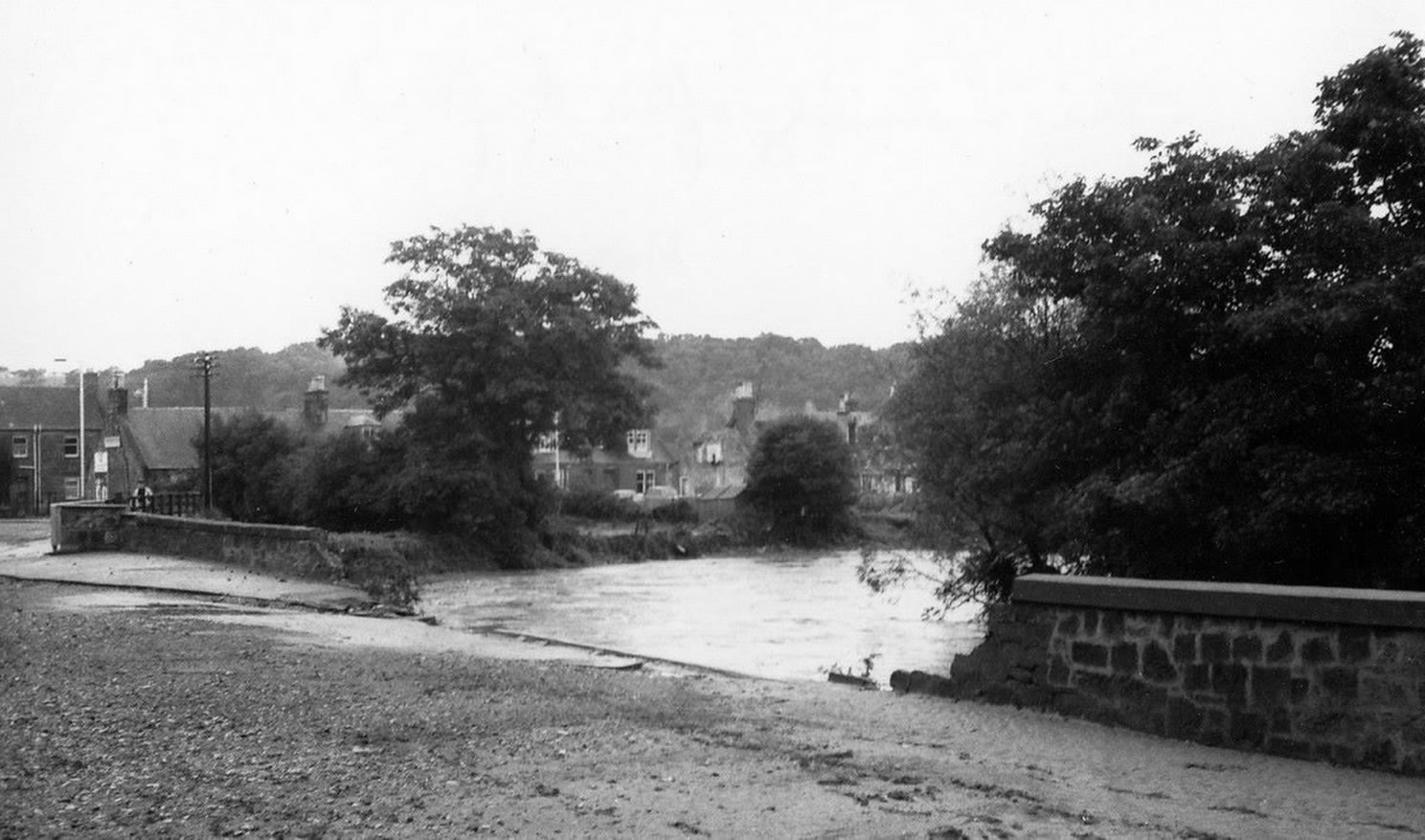
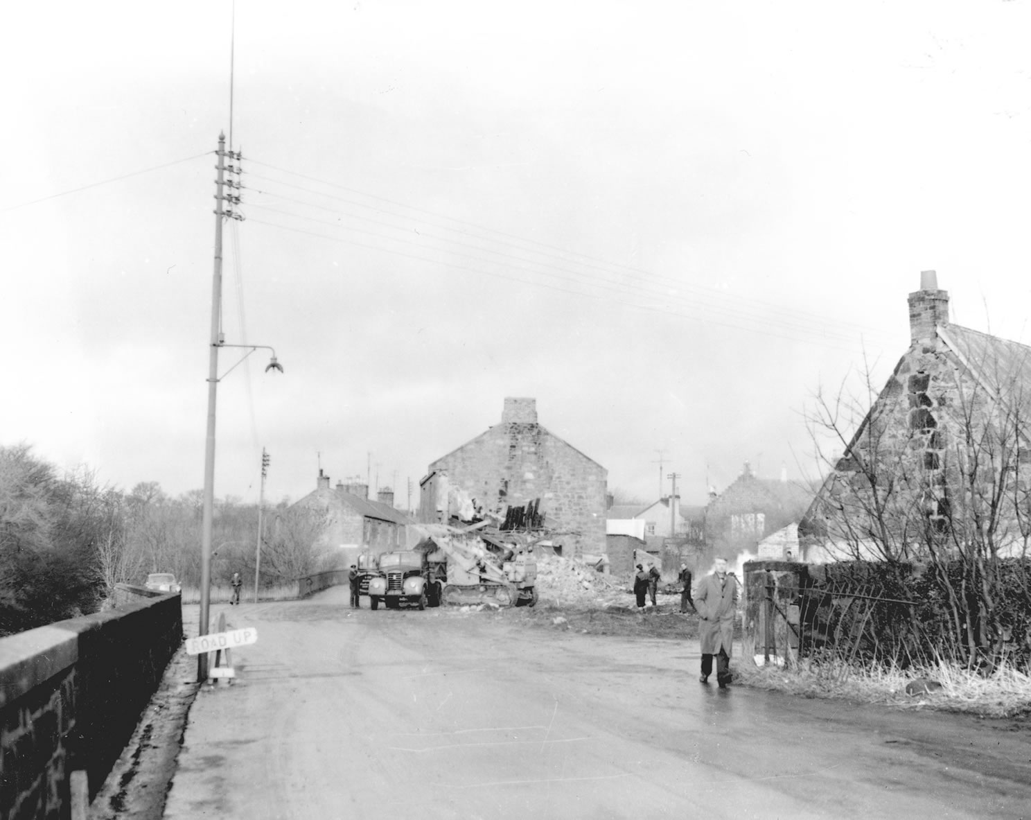
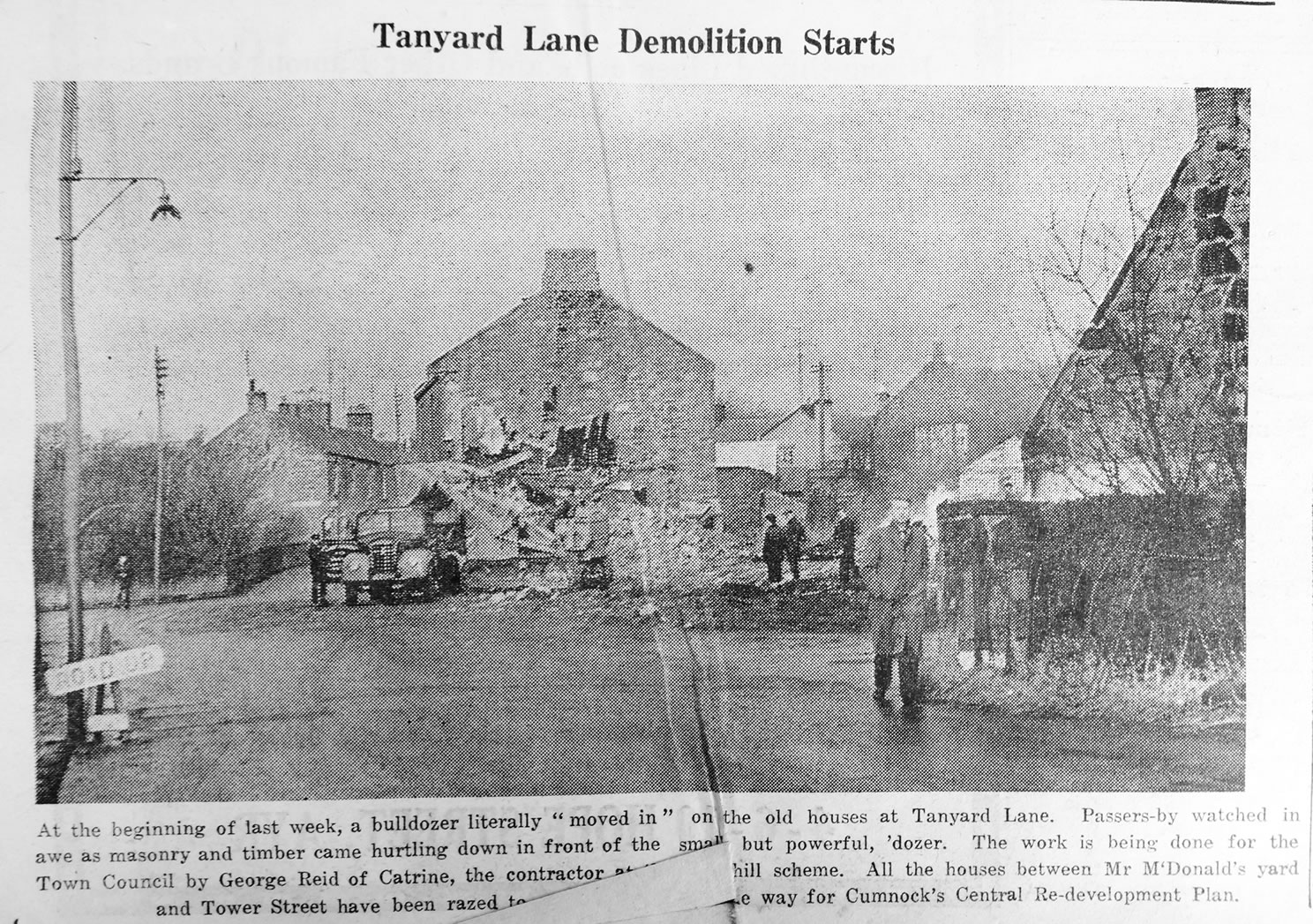
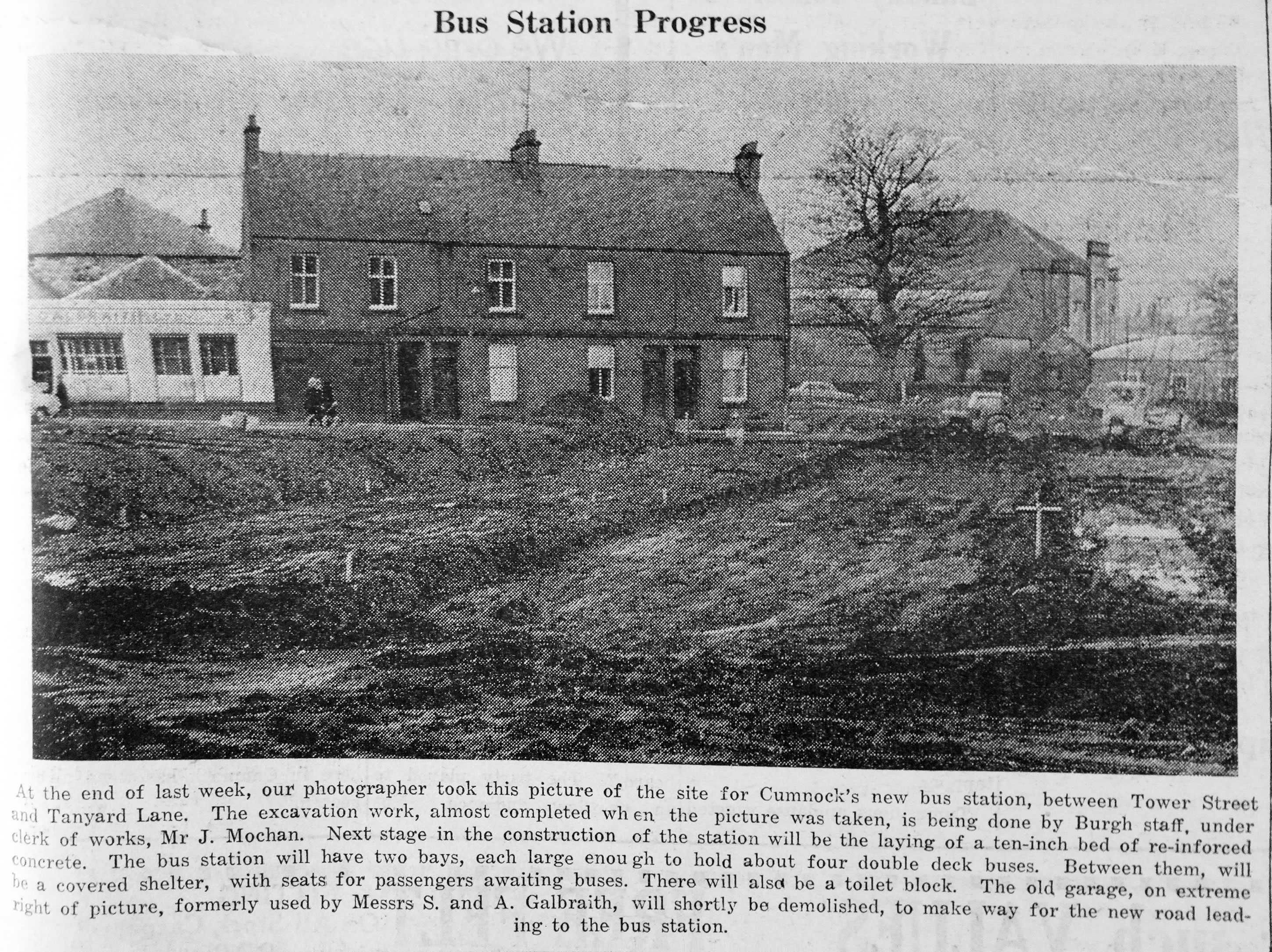
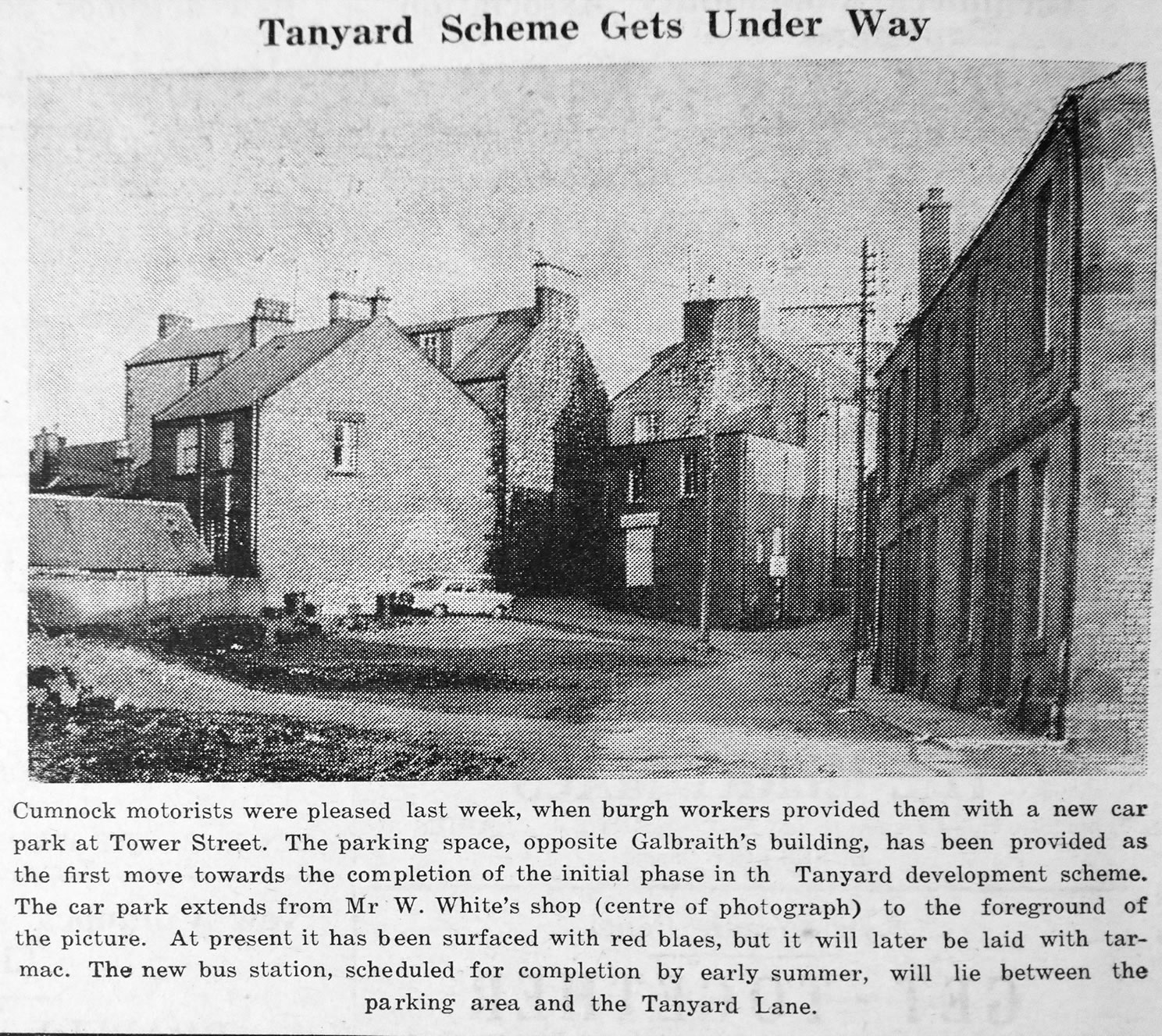
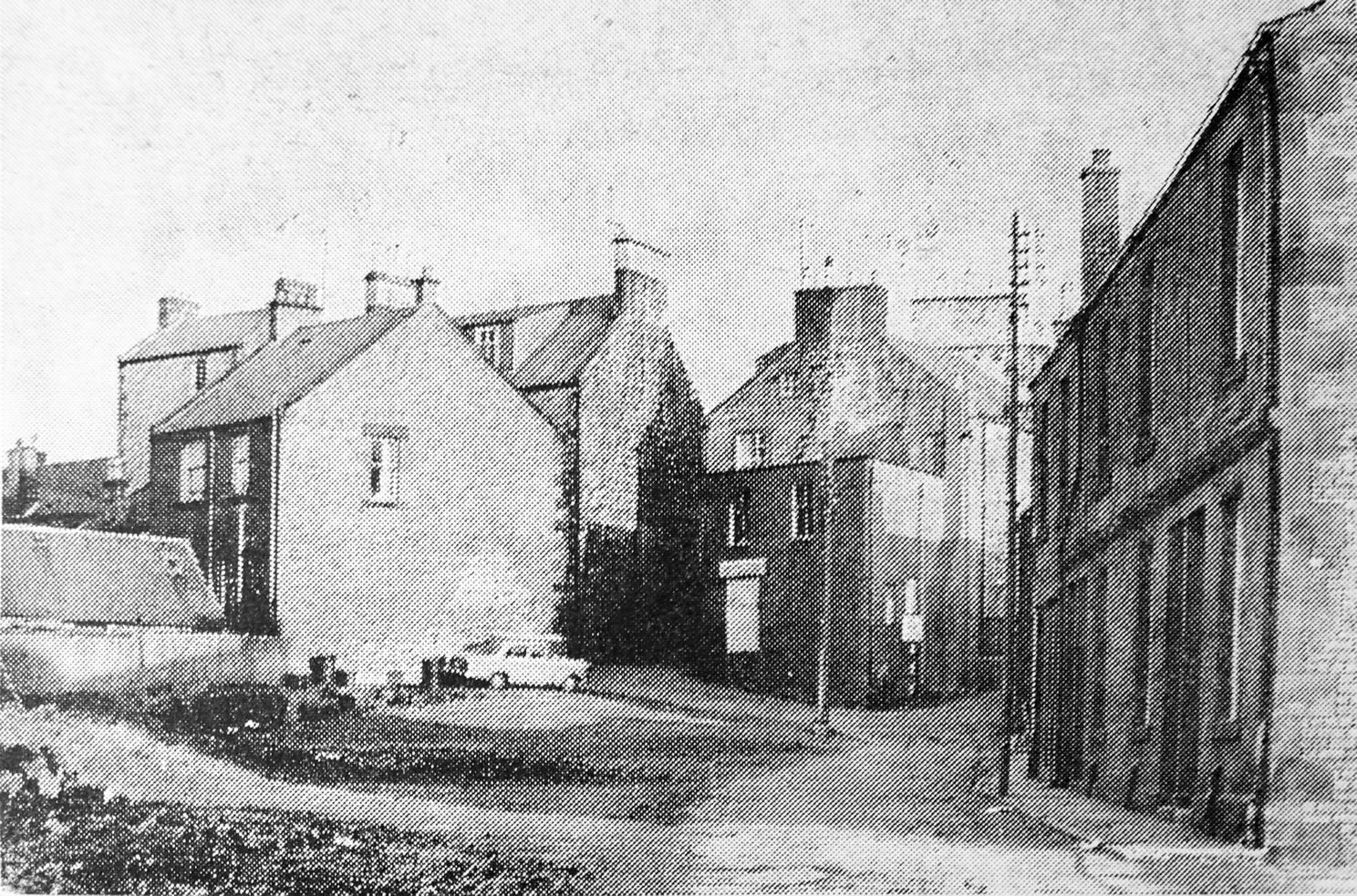
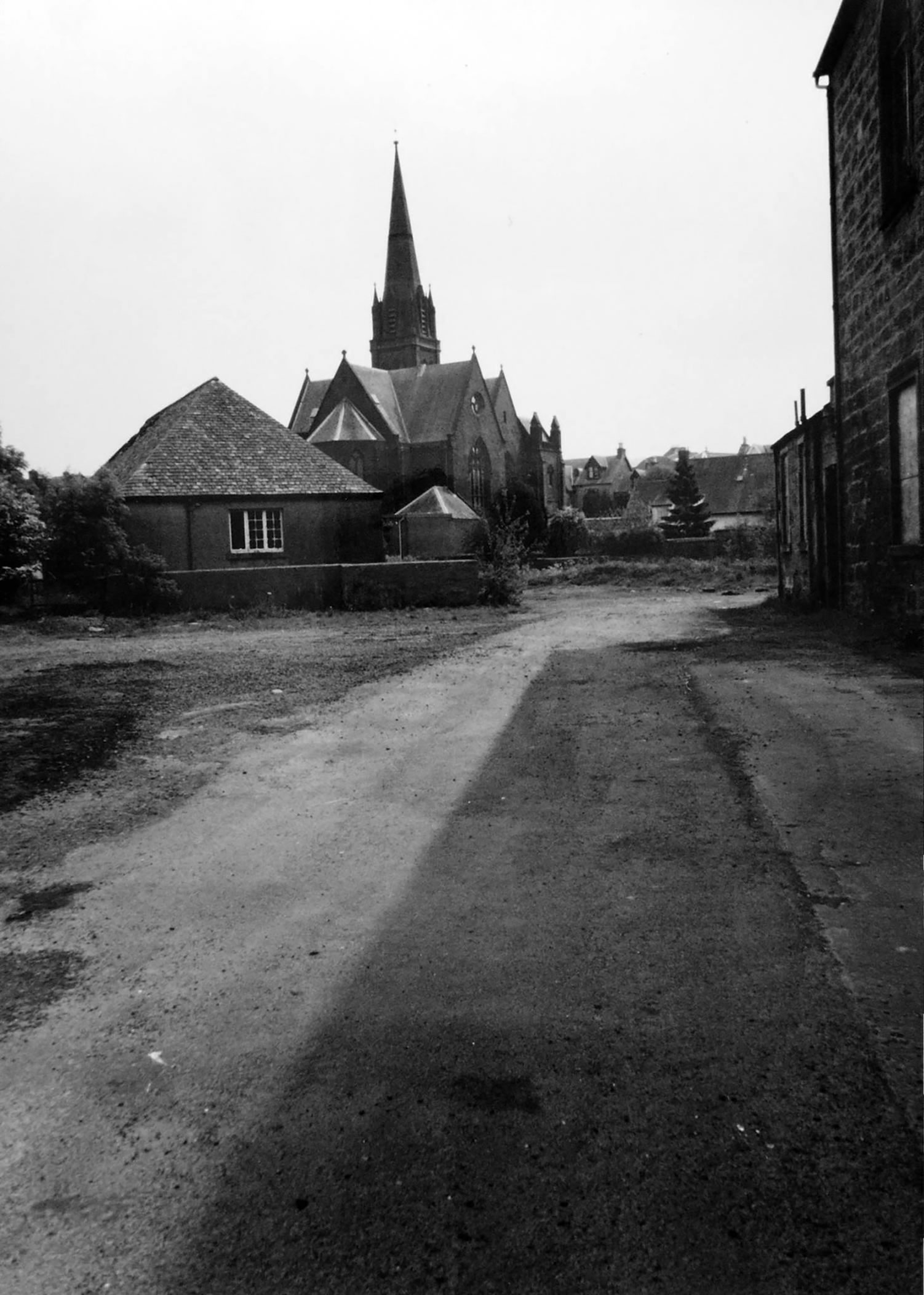
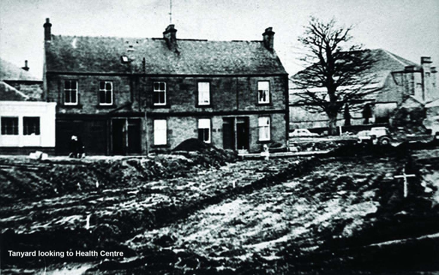
A selection of views and articles about the Tanyard, New Bridge Street and the surrounding area.
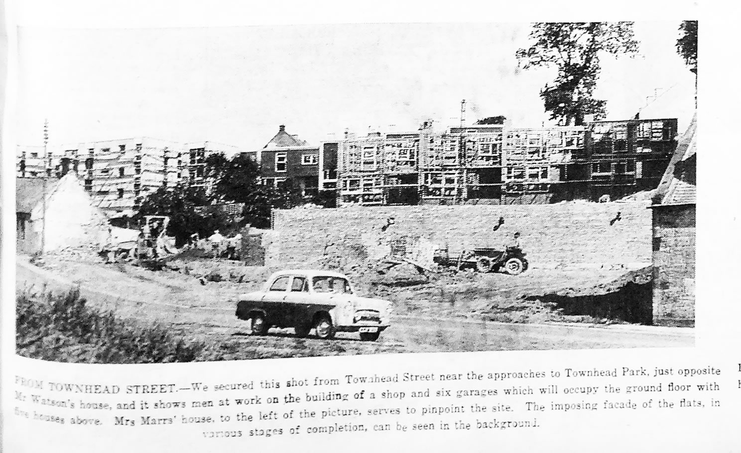
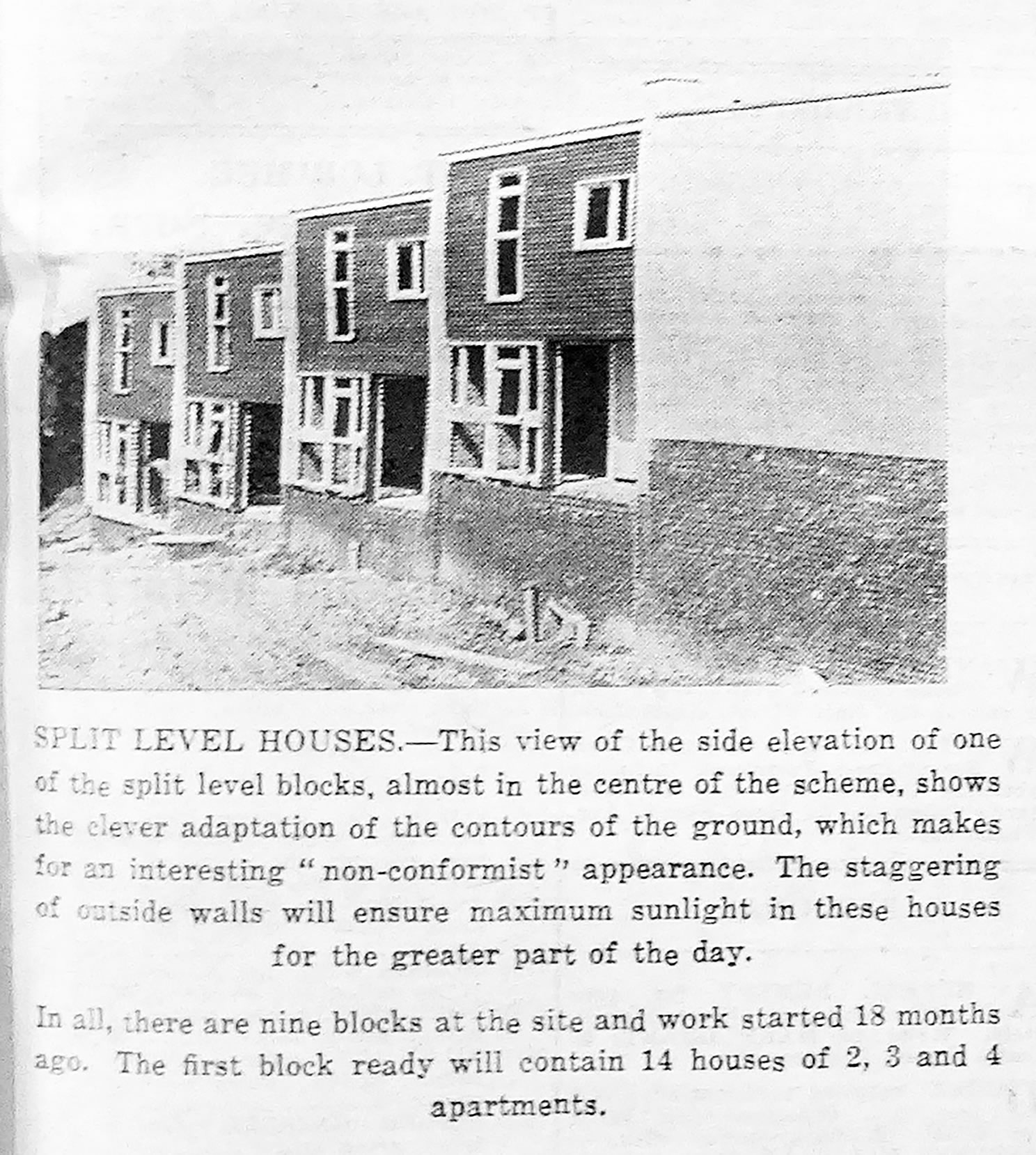
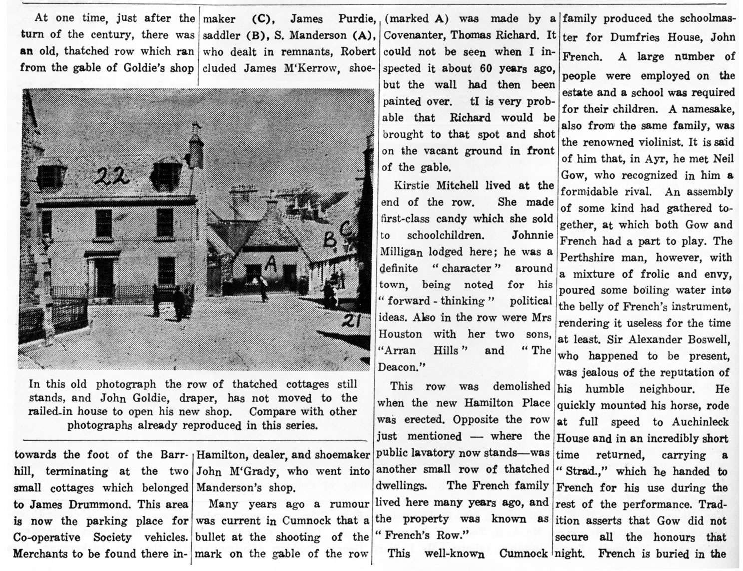
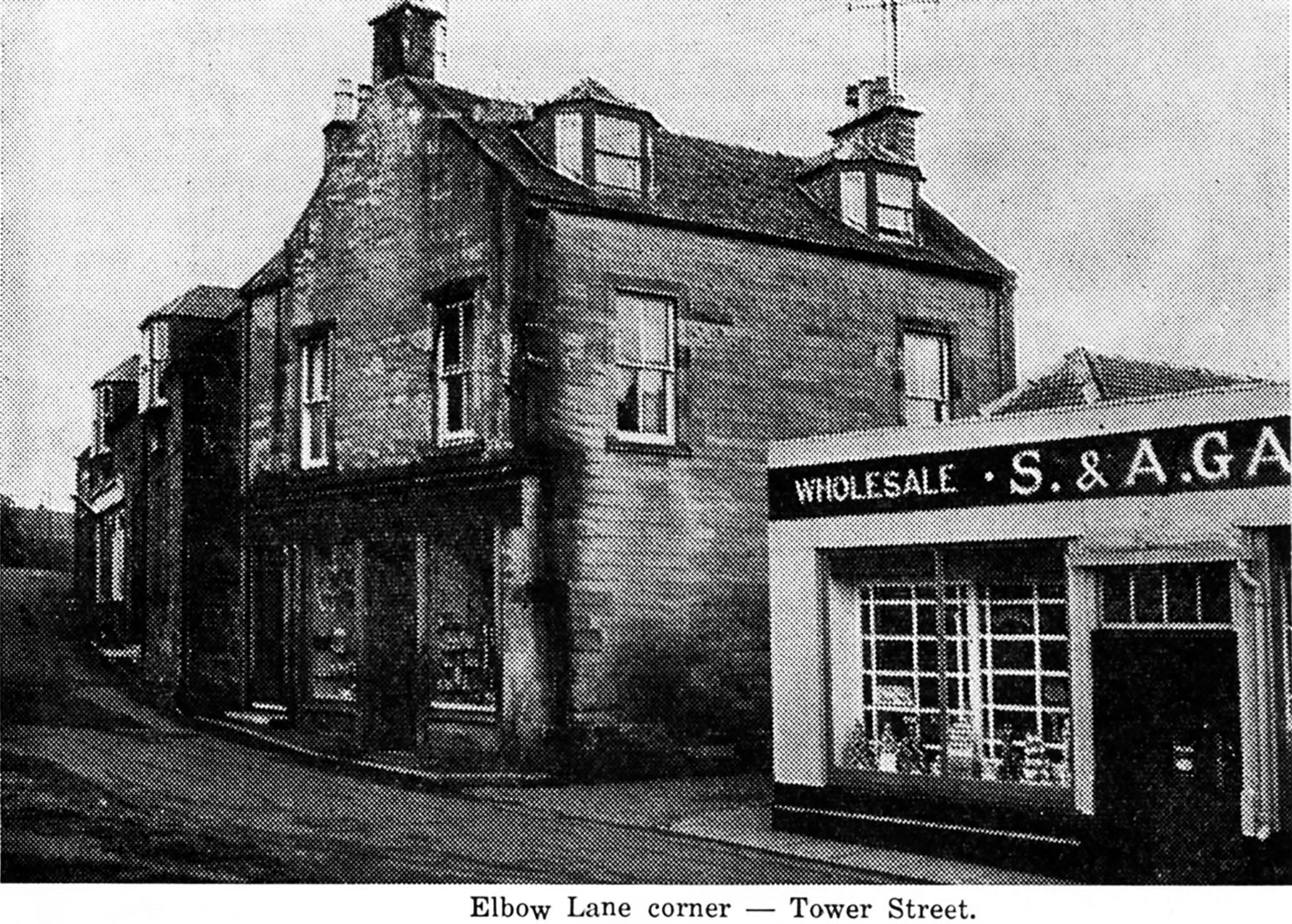
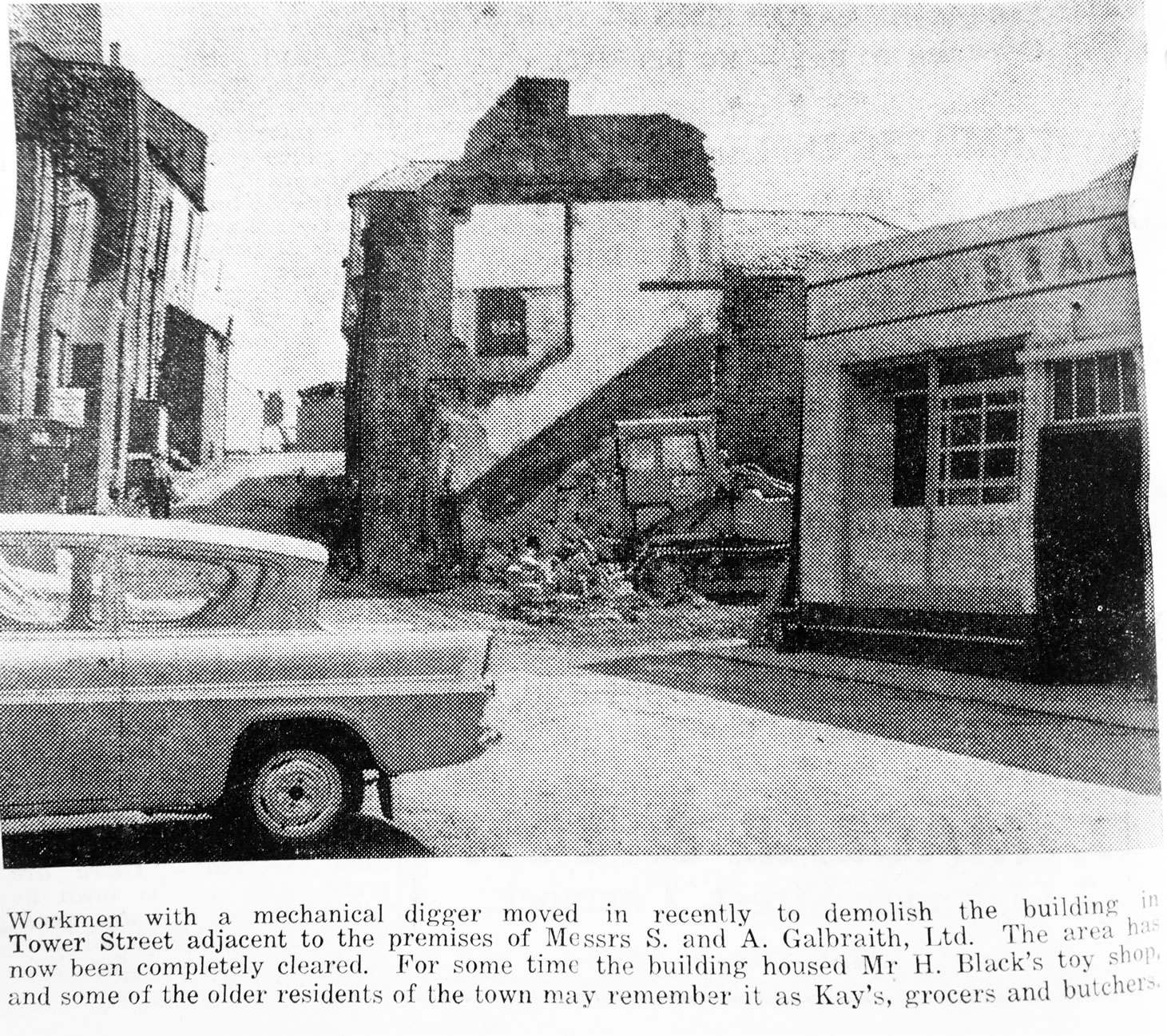
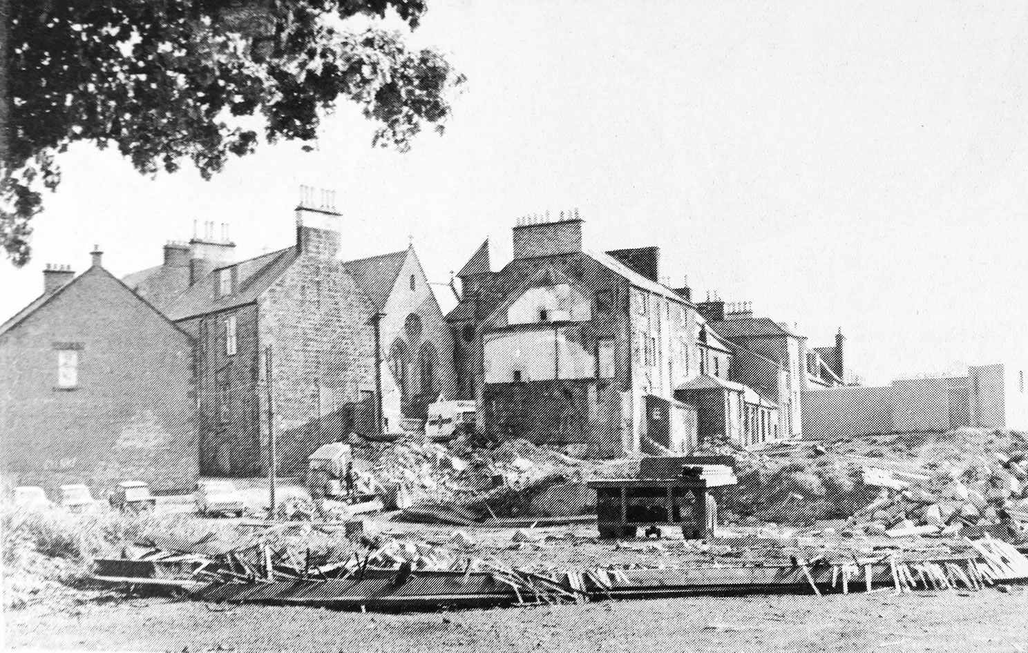
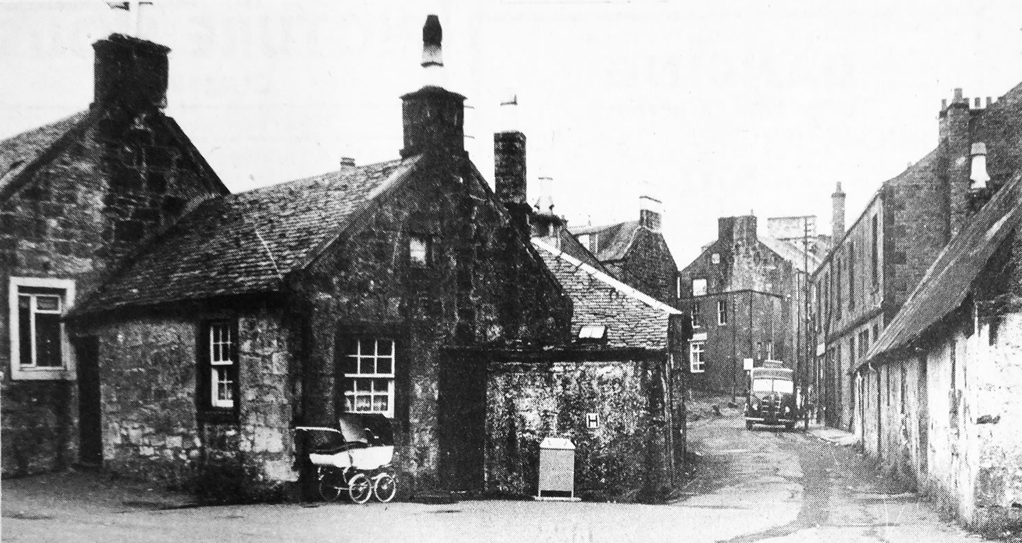
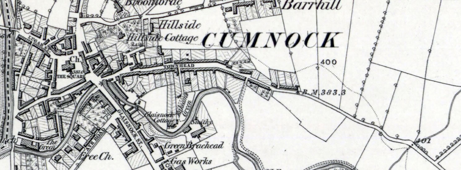
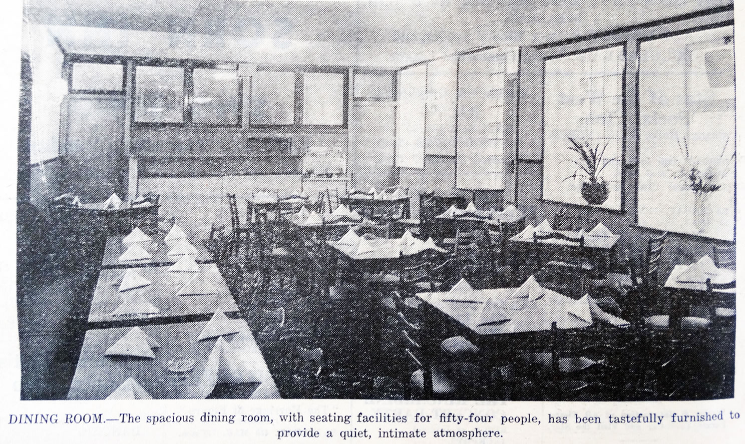
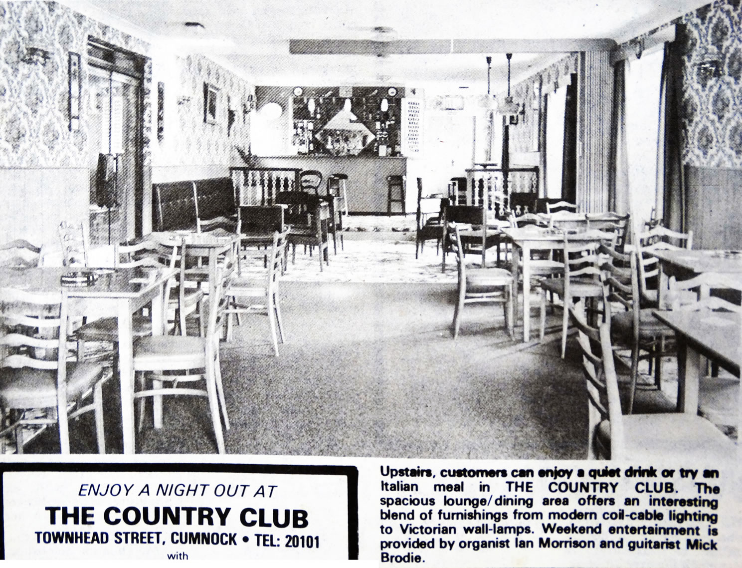
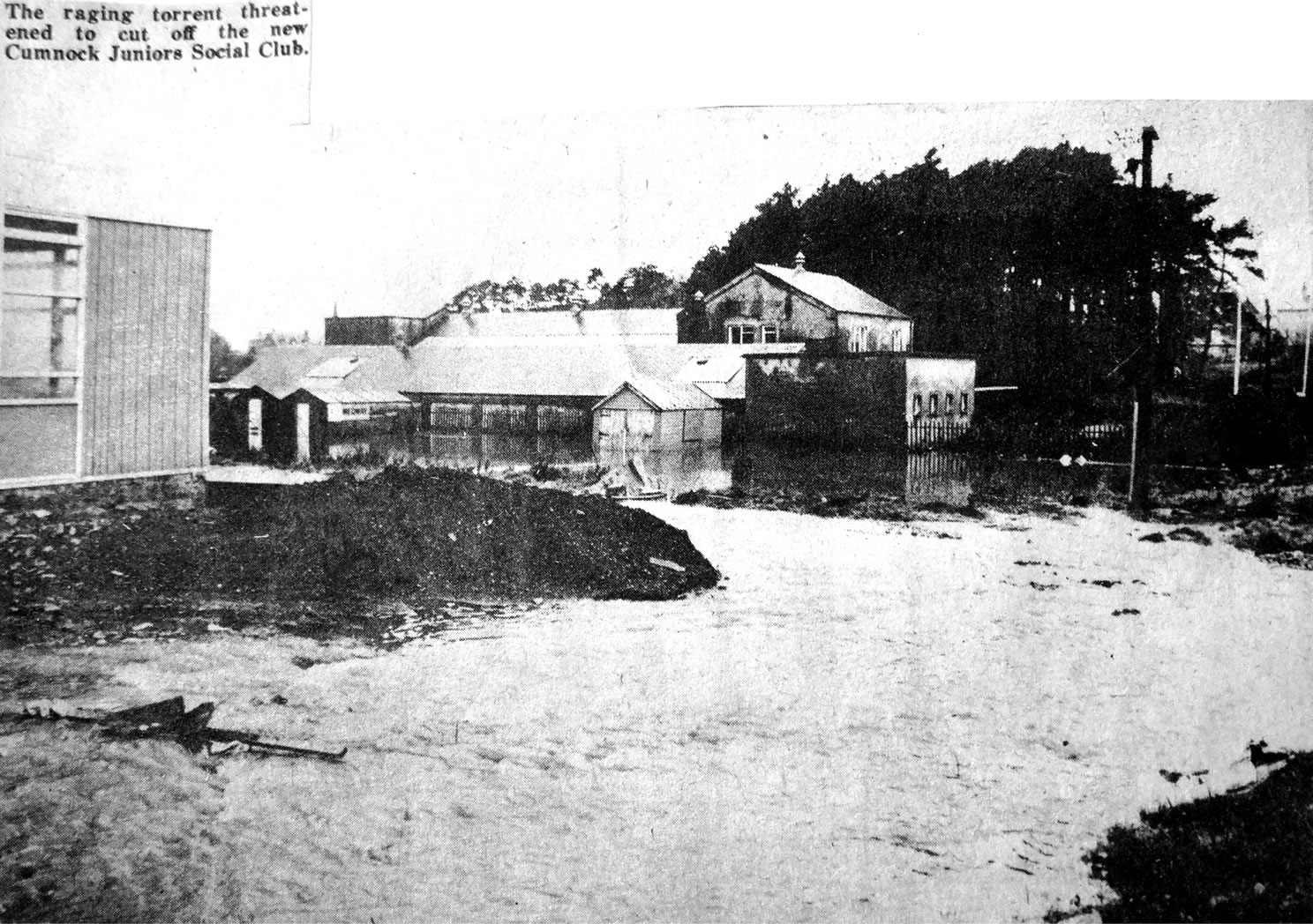
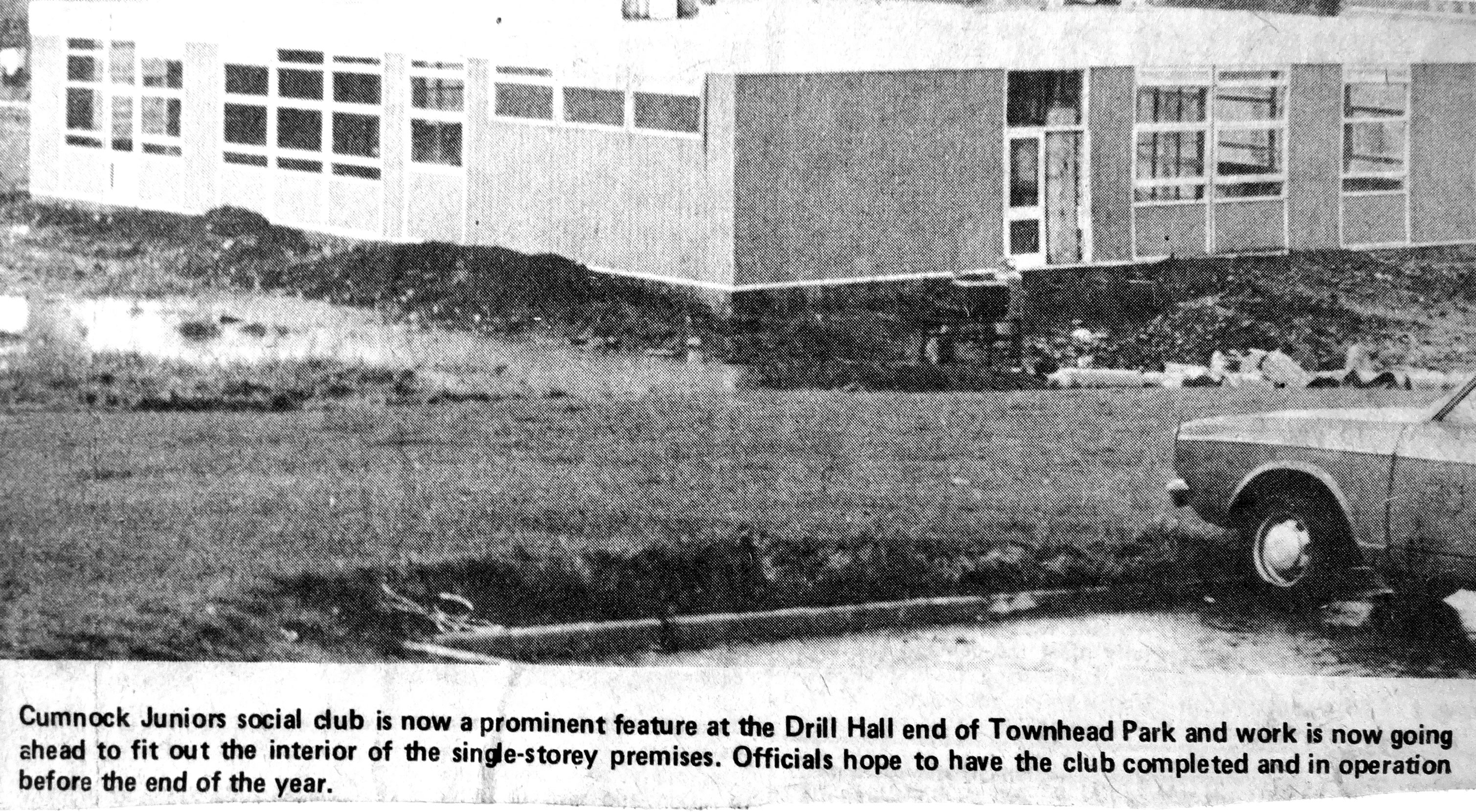
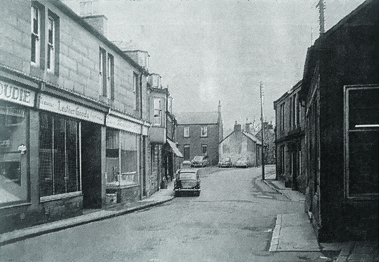
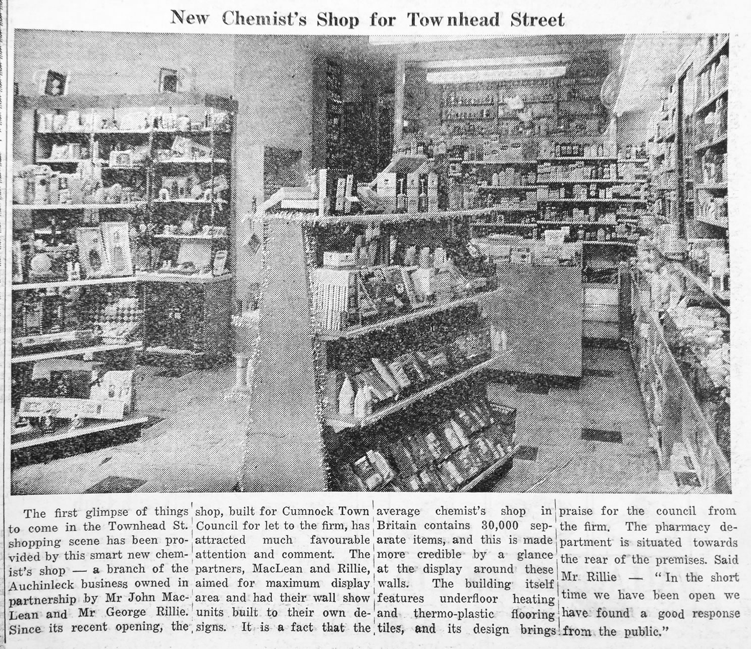
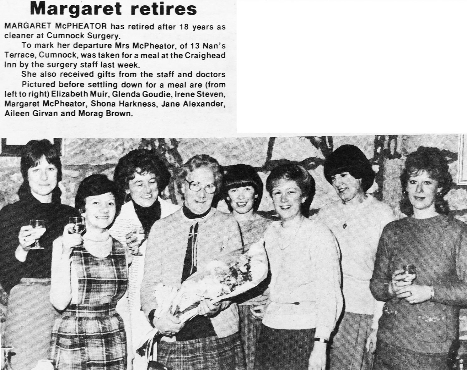
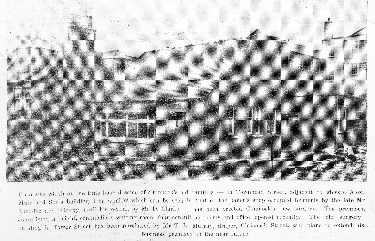
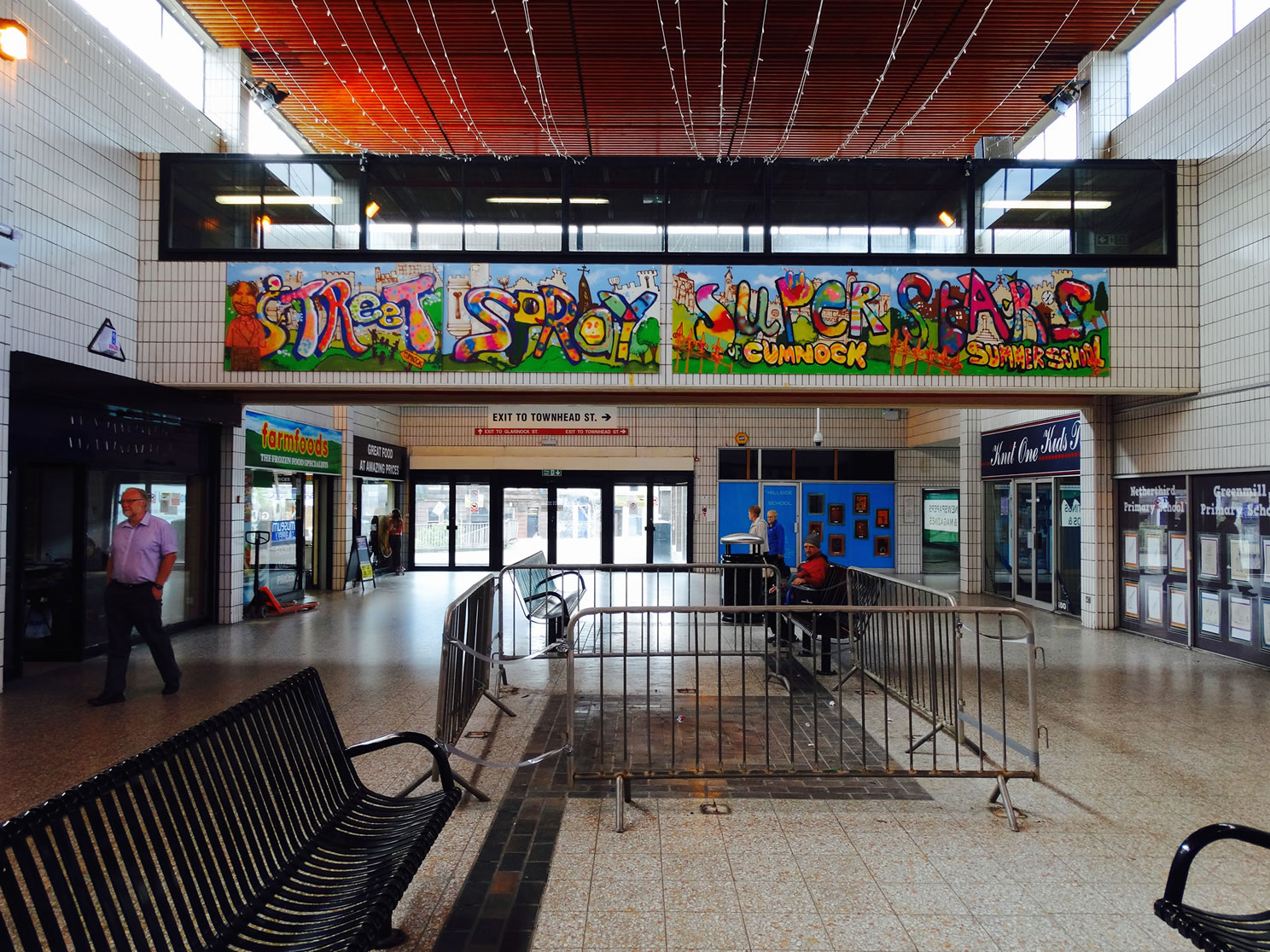
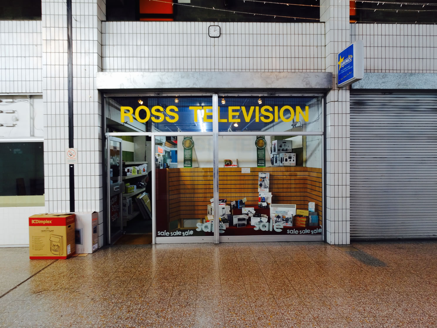
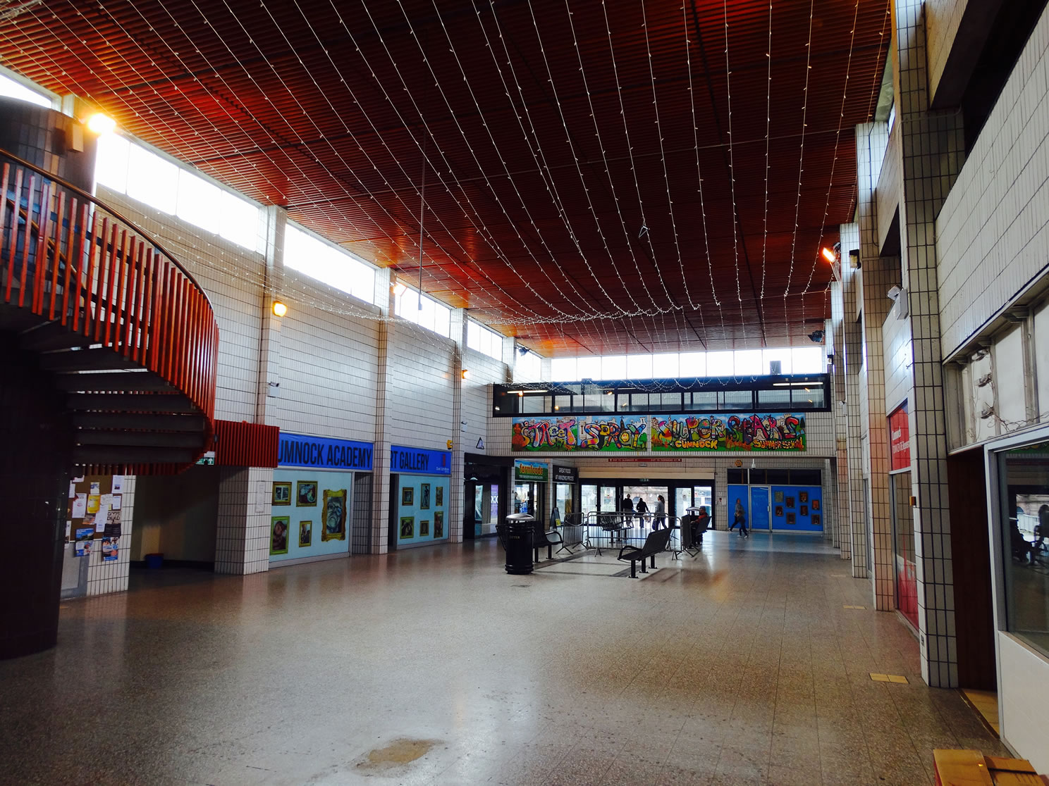
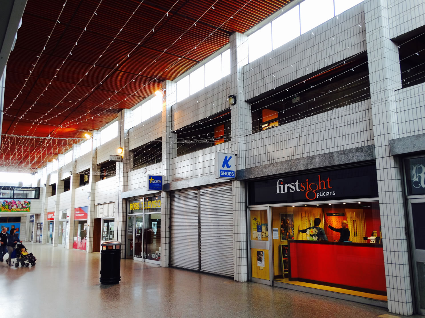
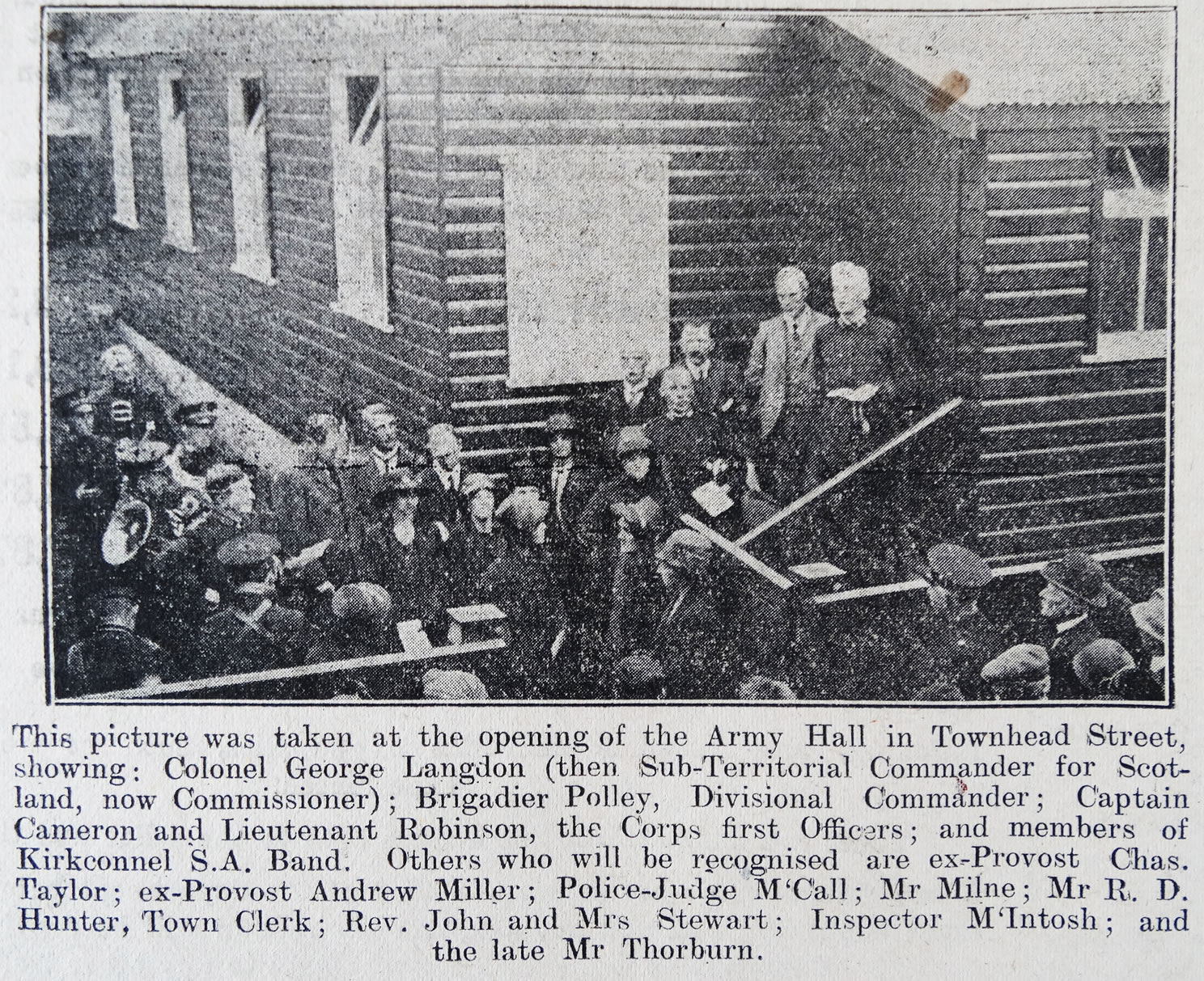
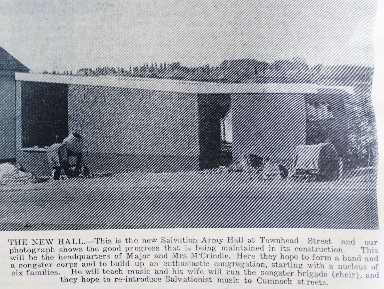
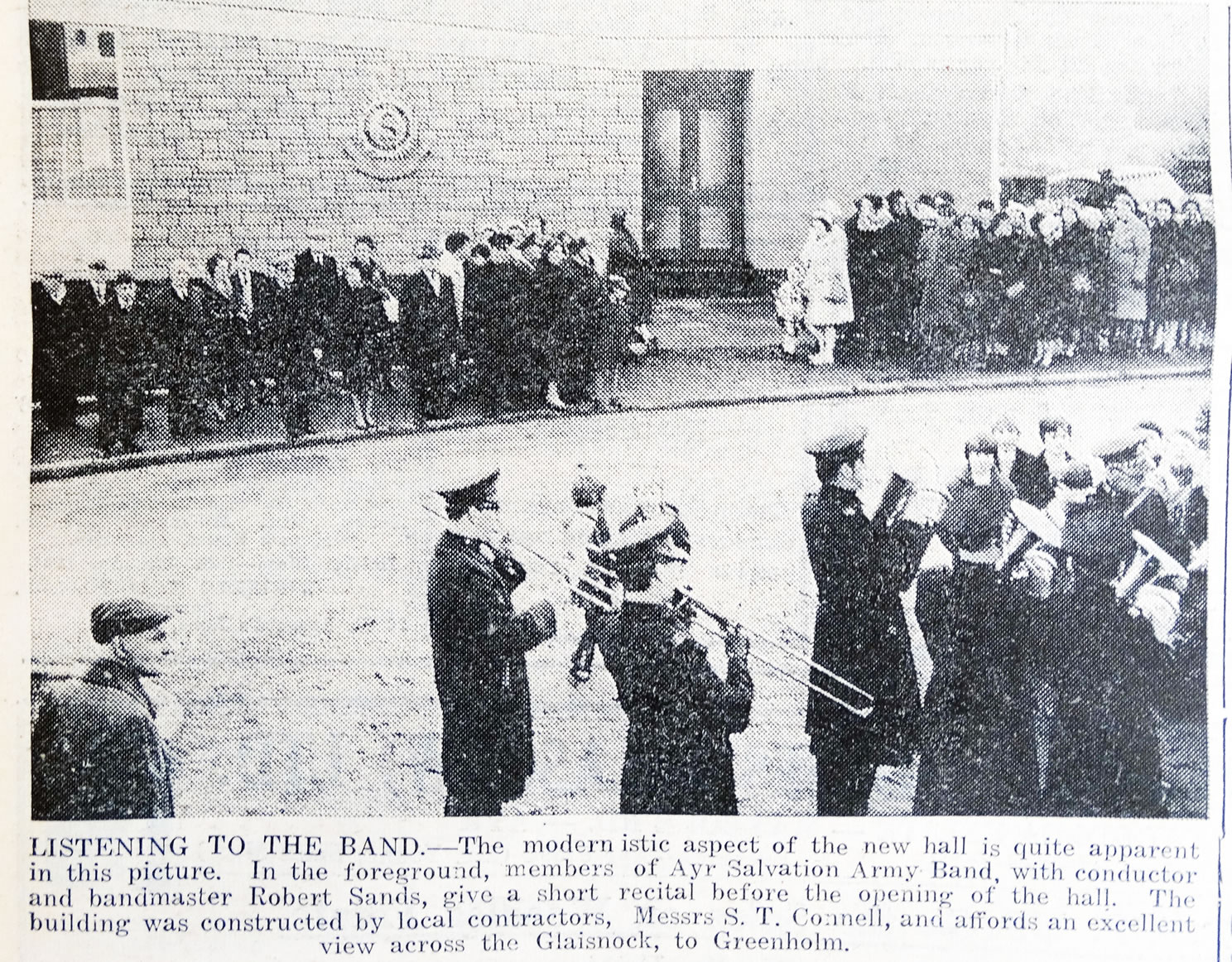
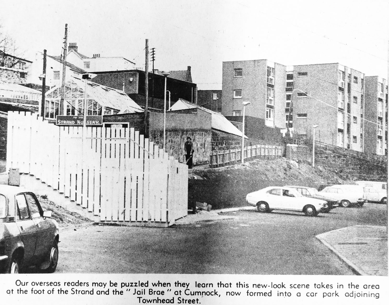
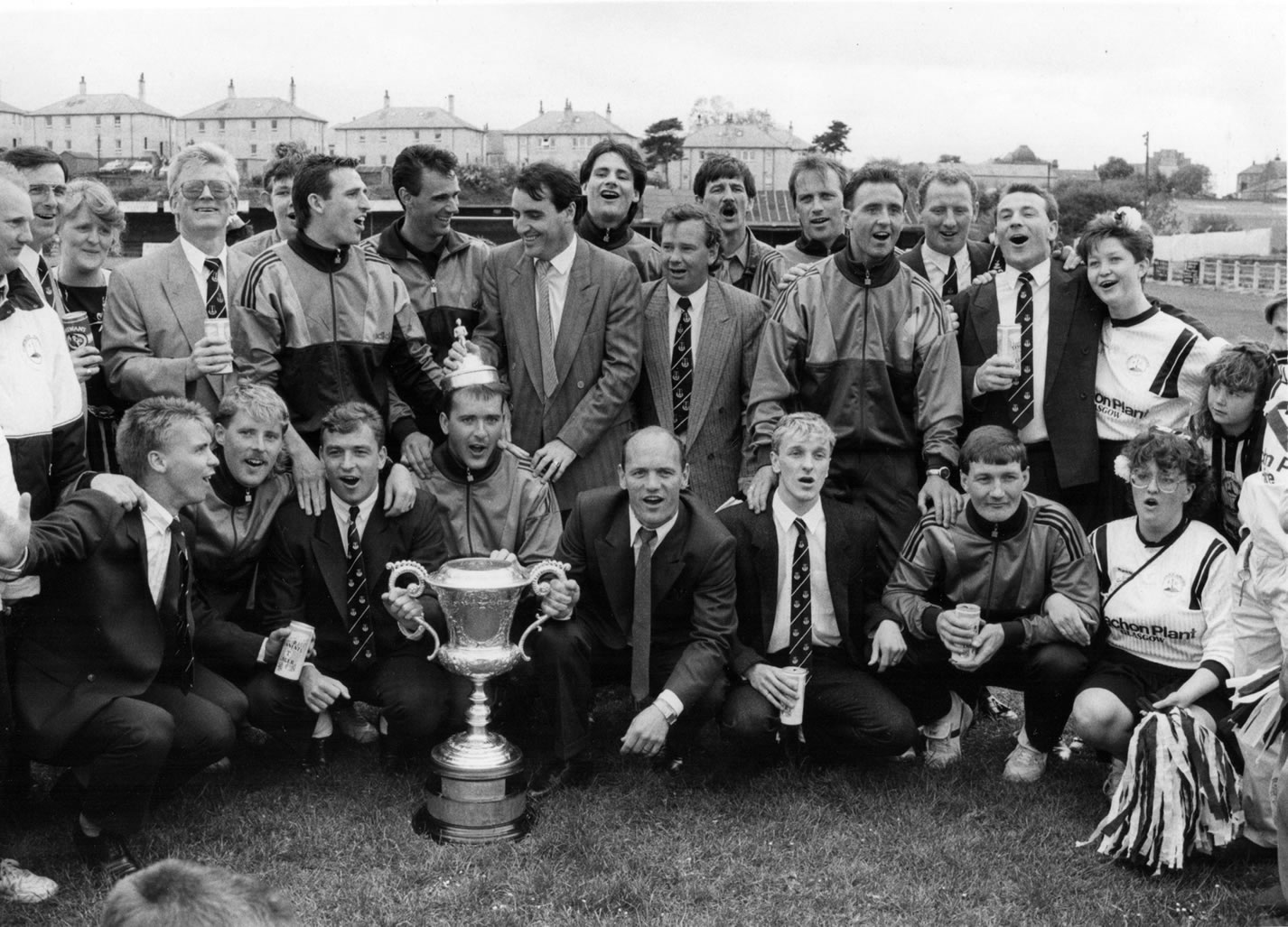
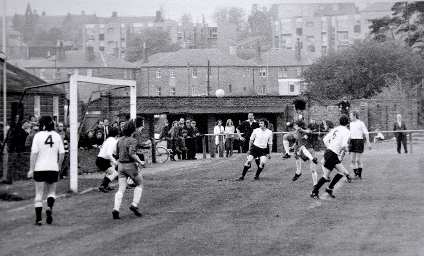
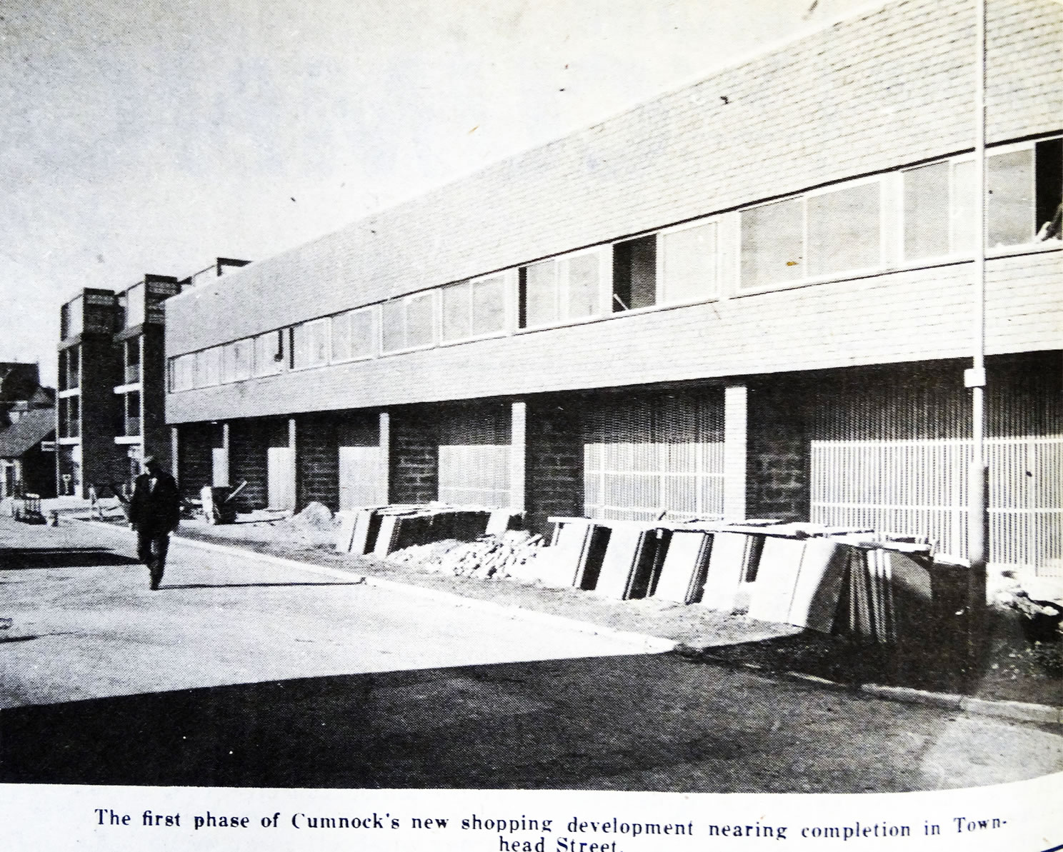
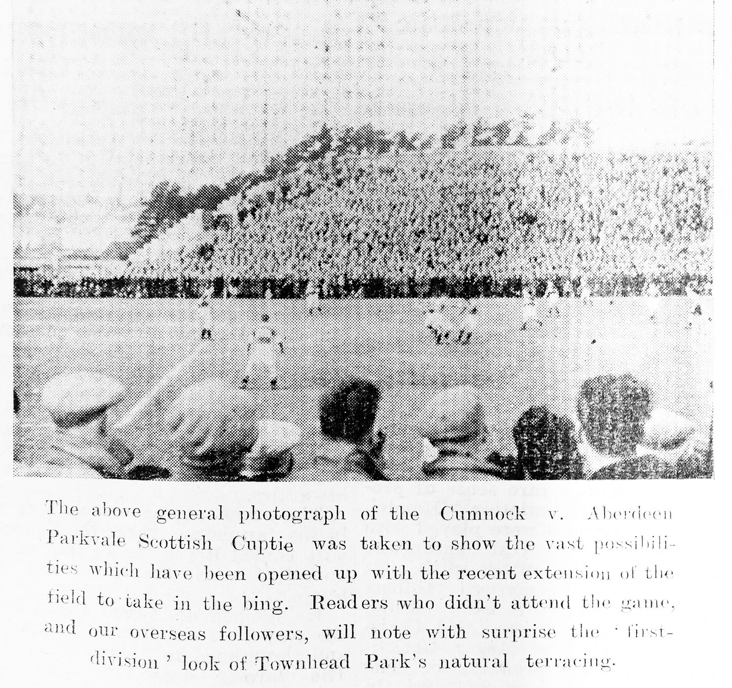
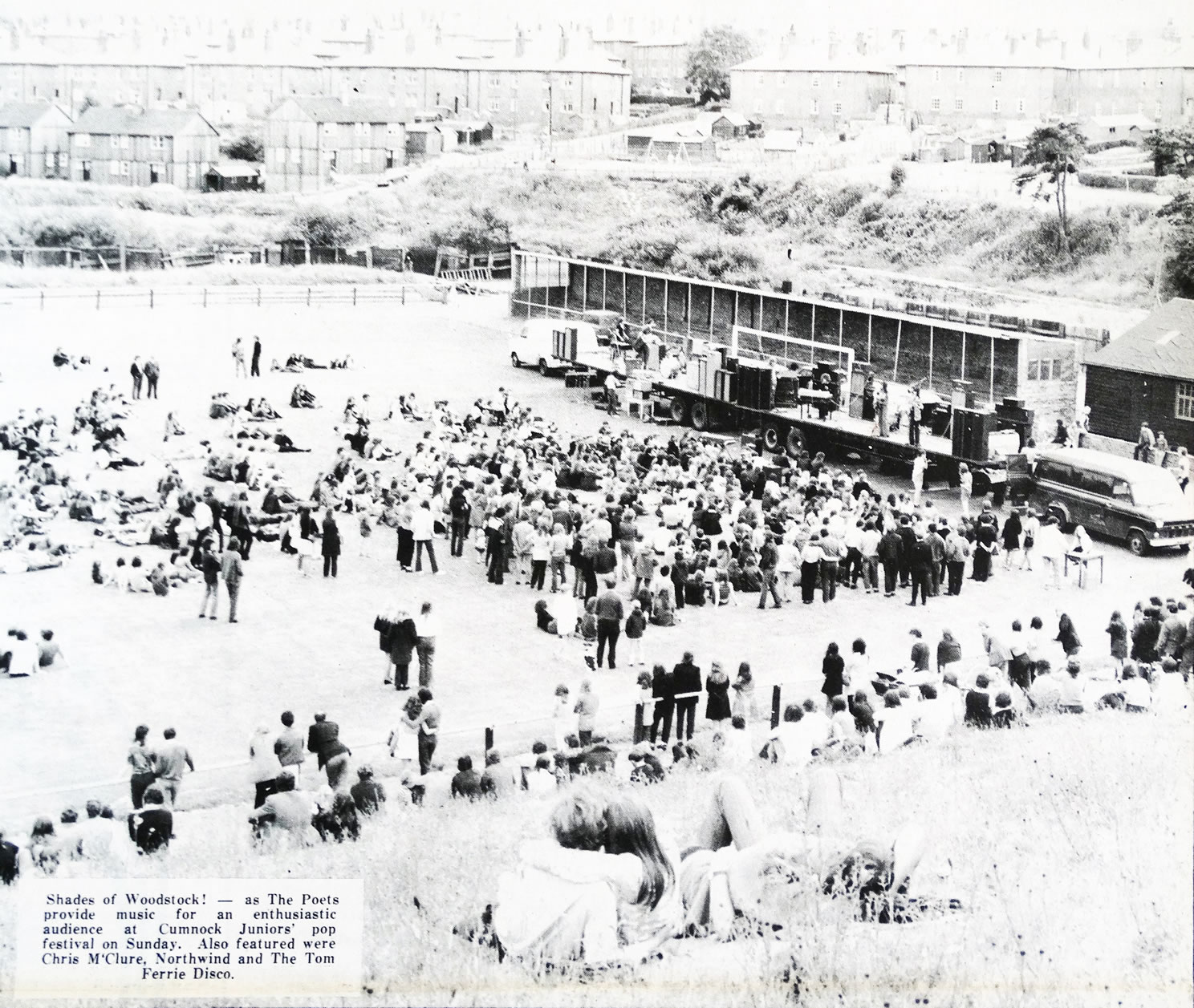
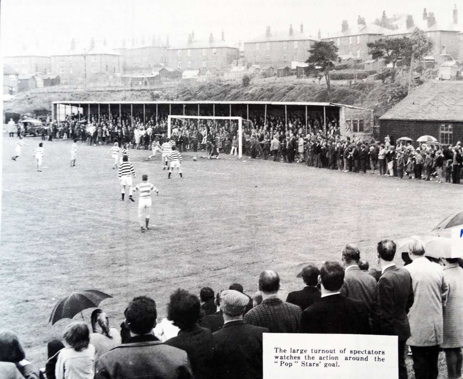
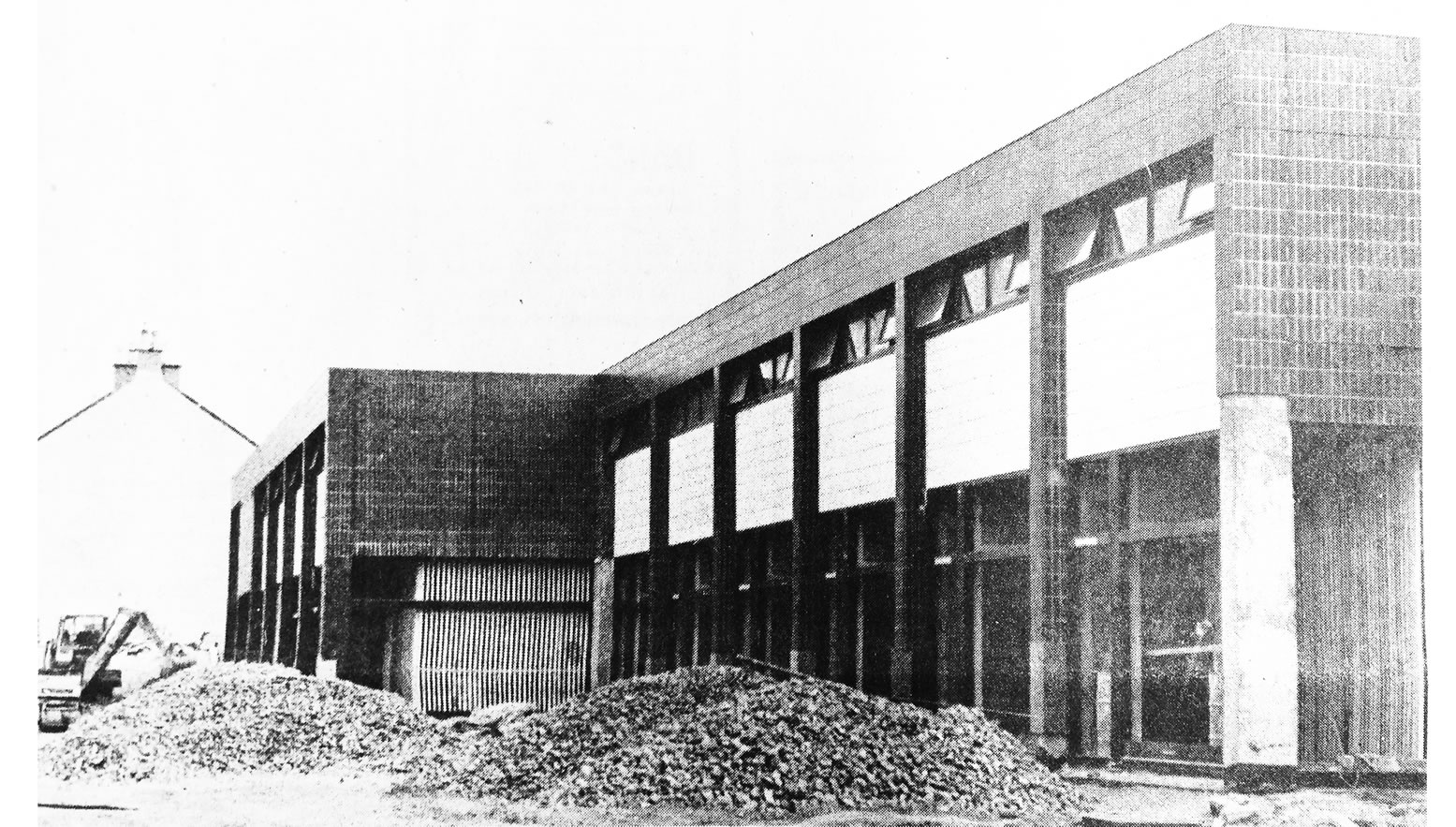
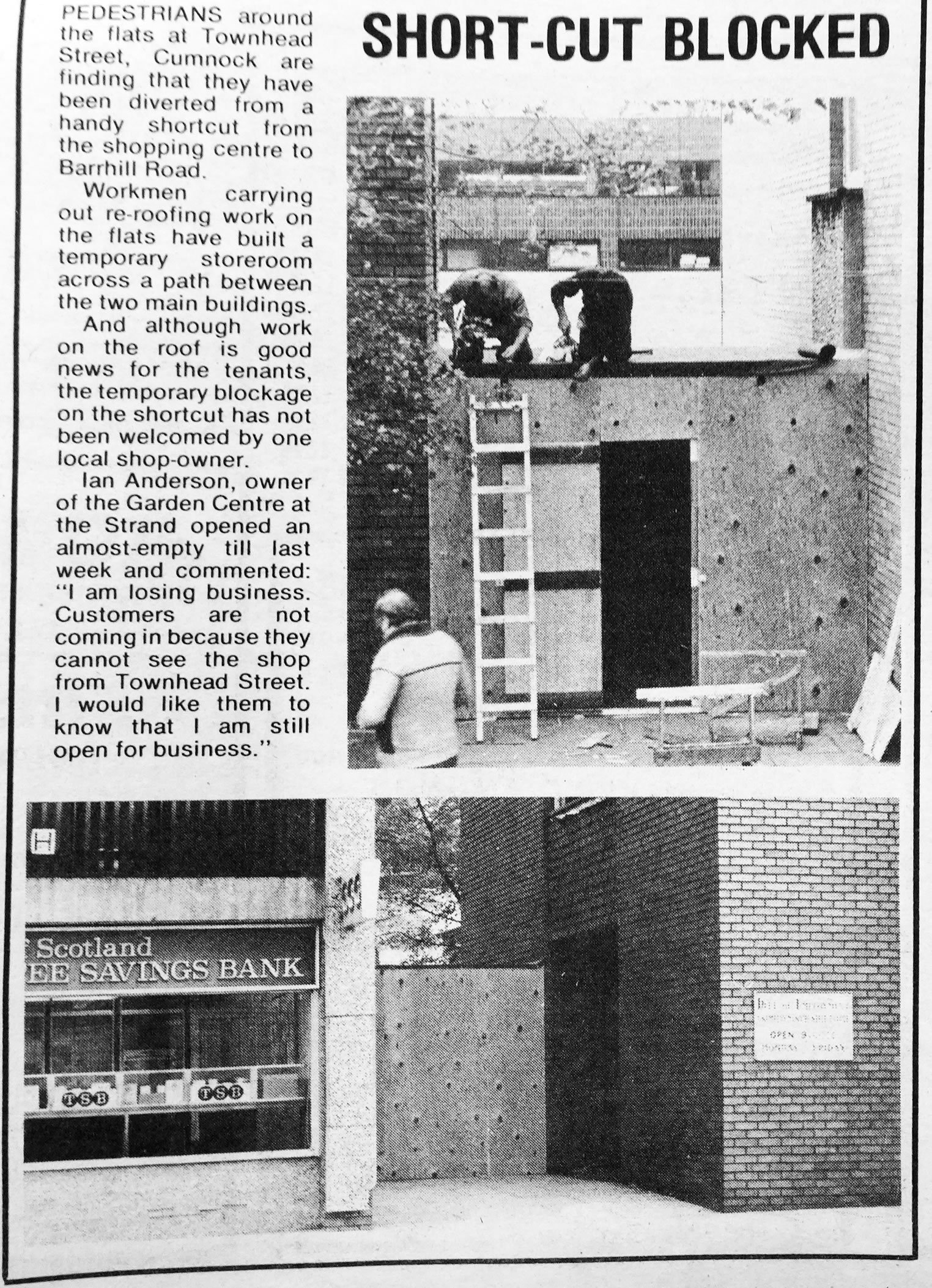
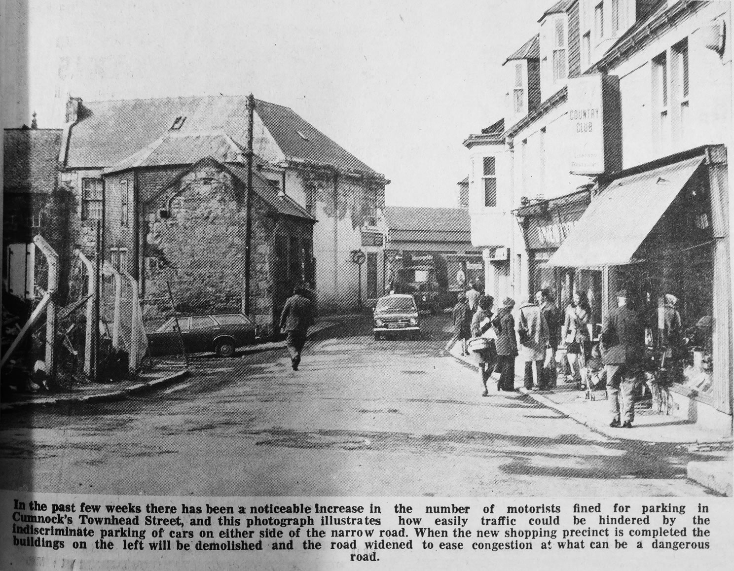
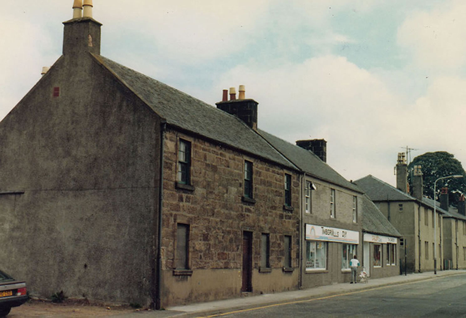
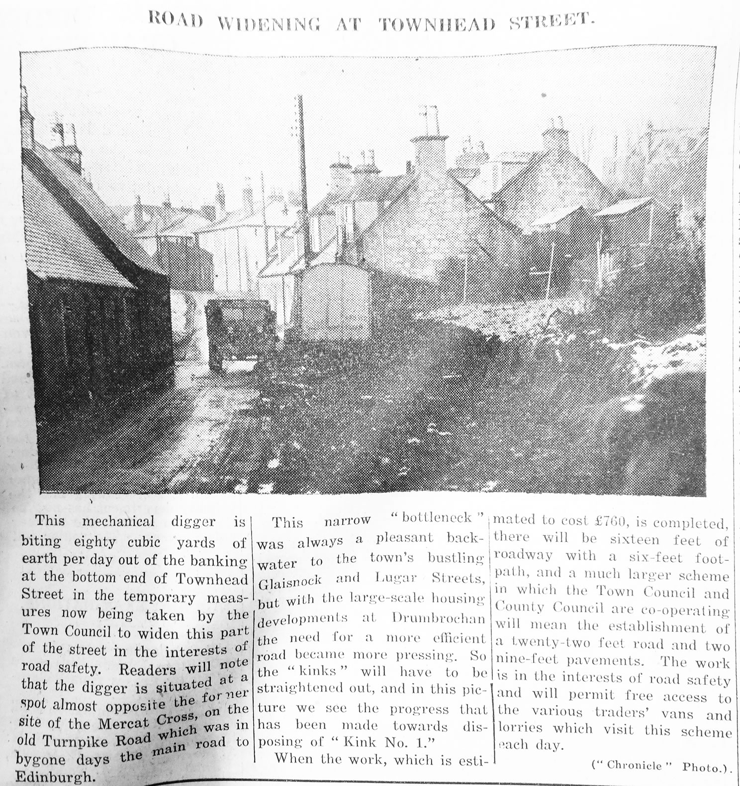
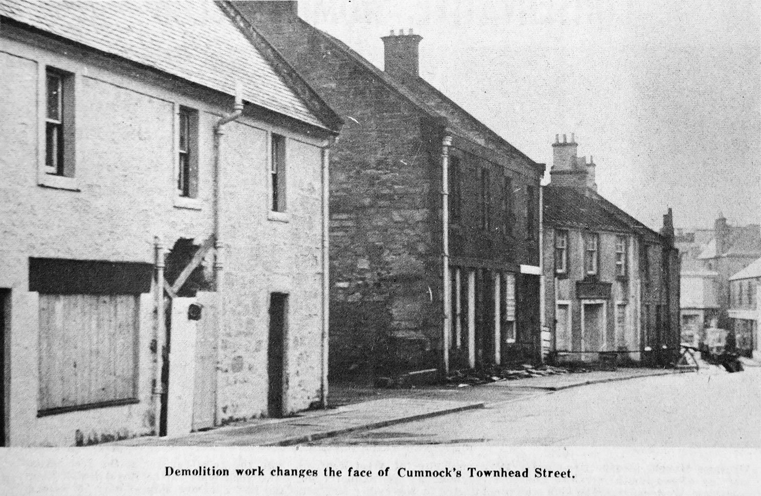
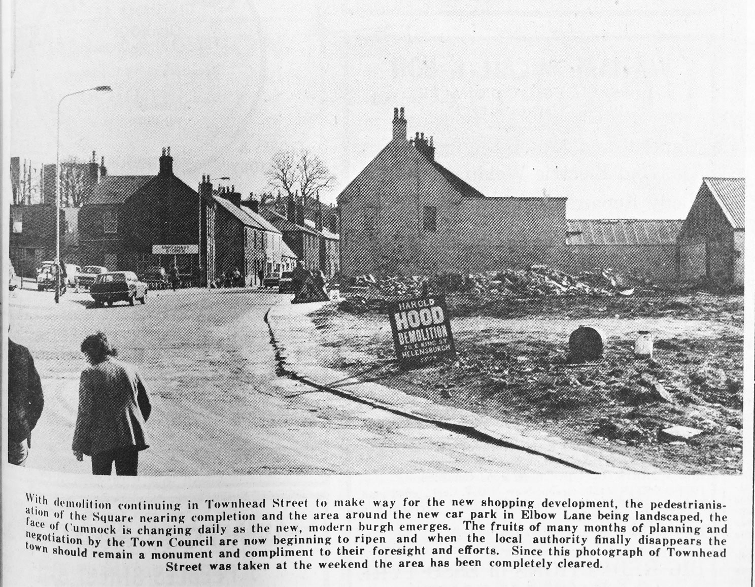
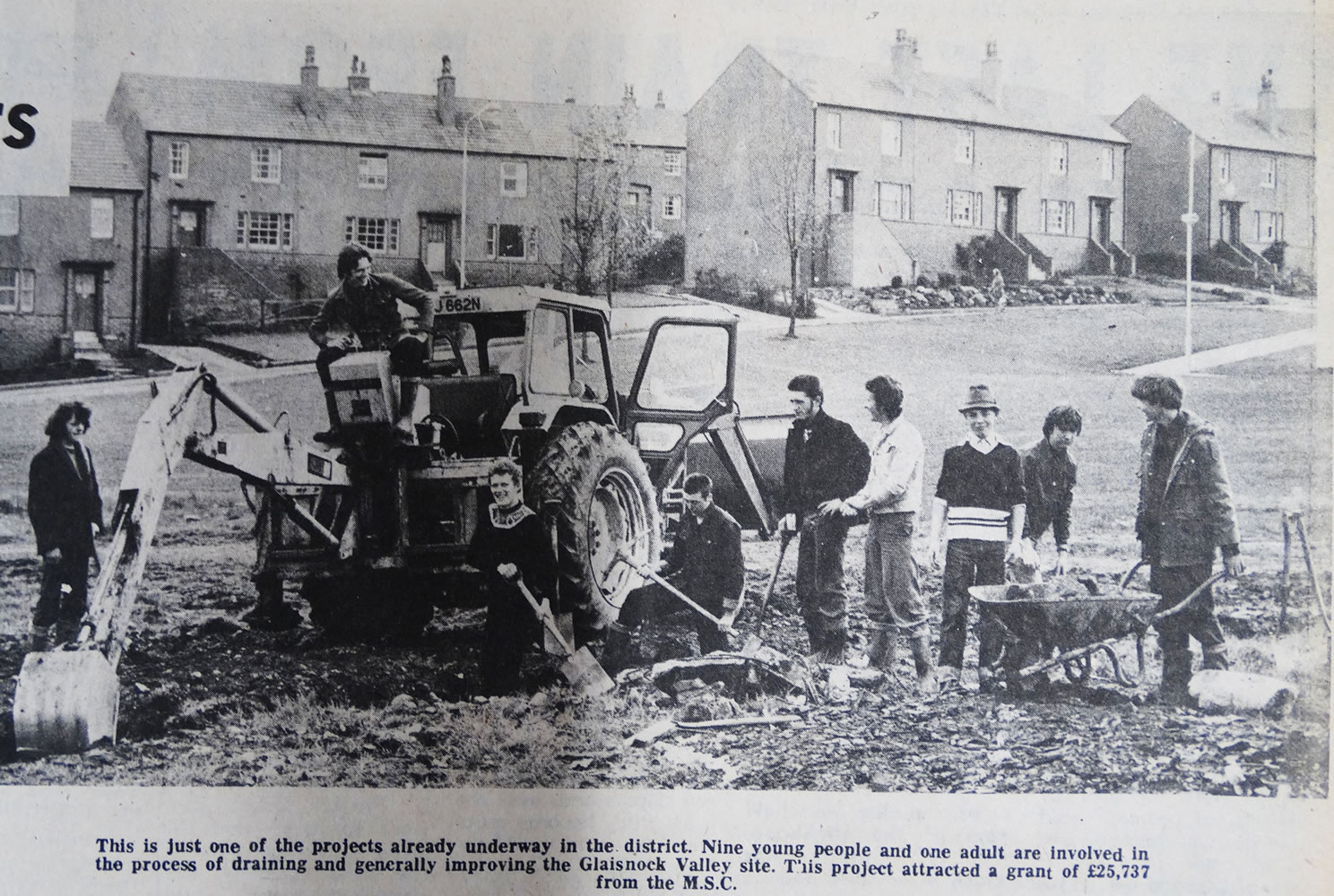
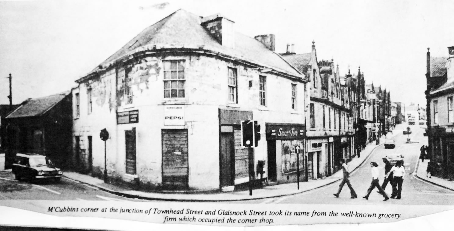
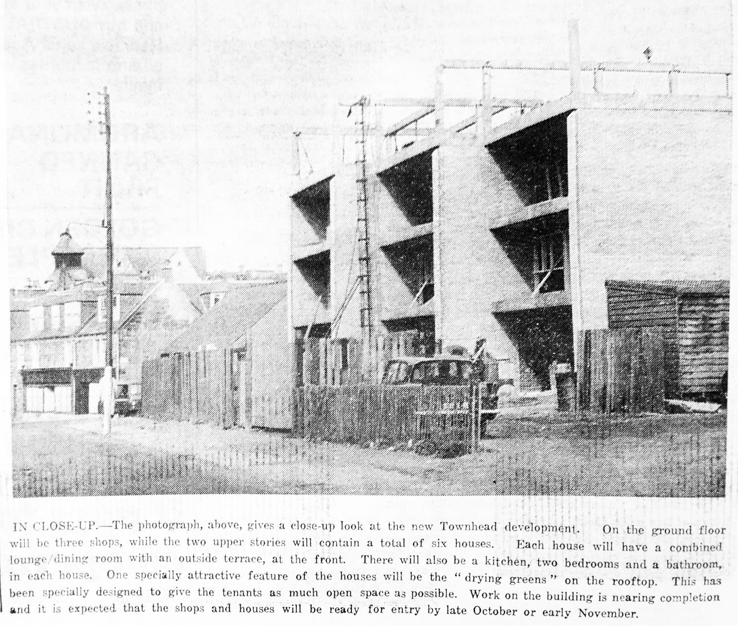
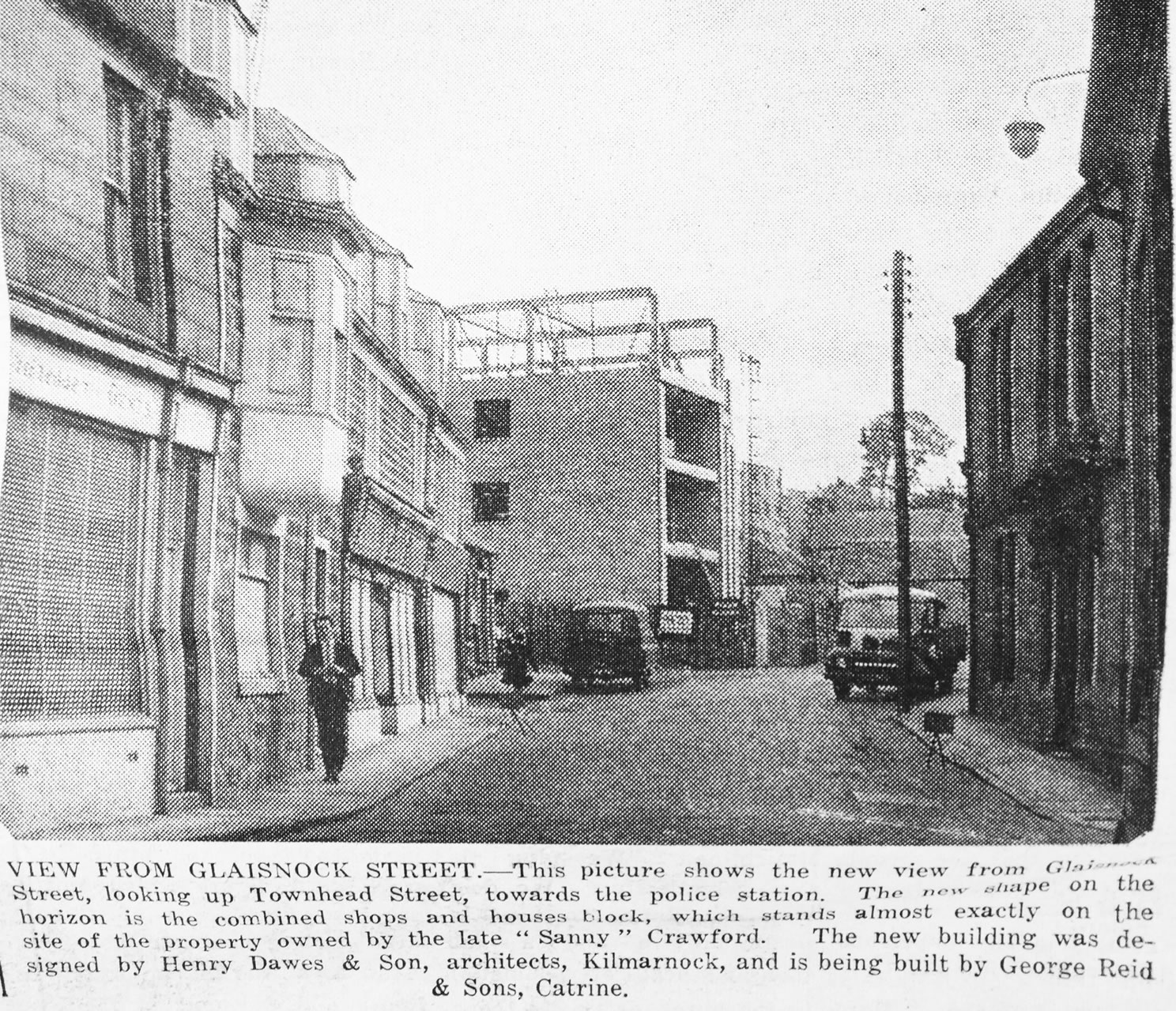
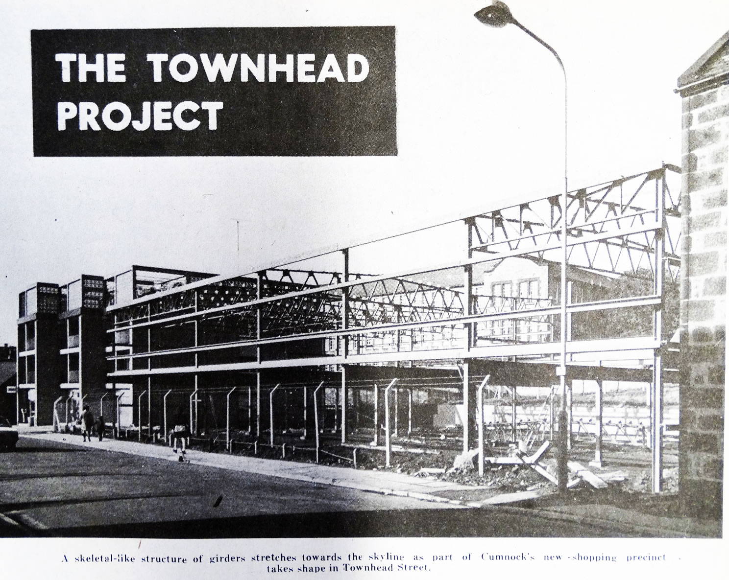
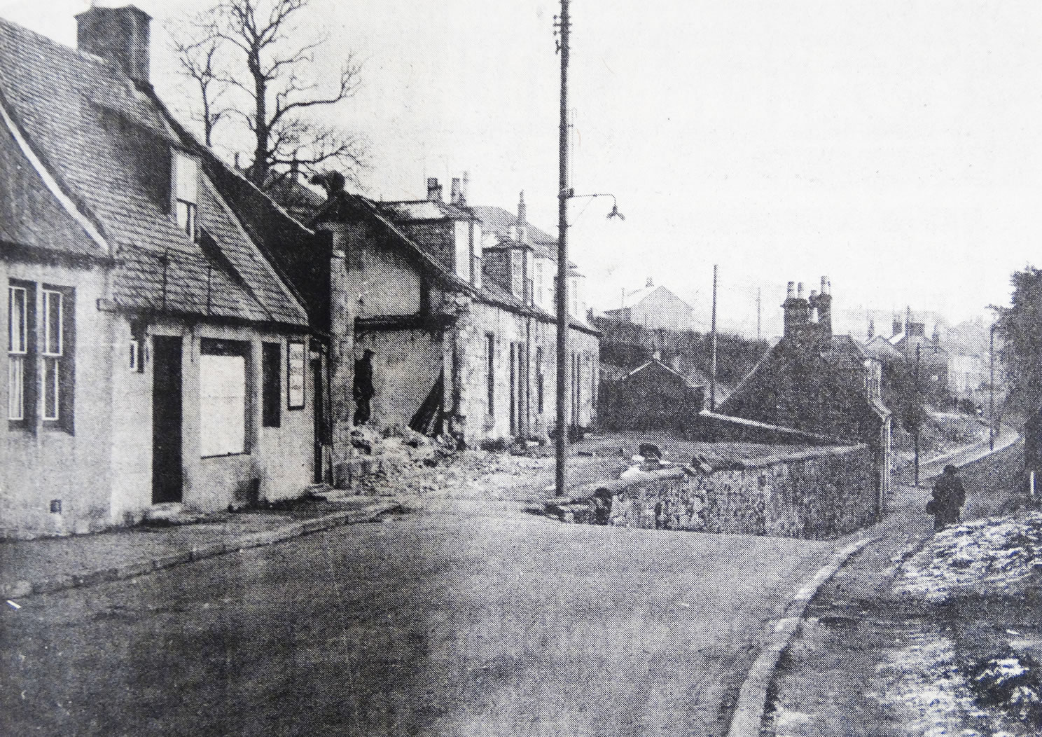
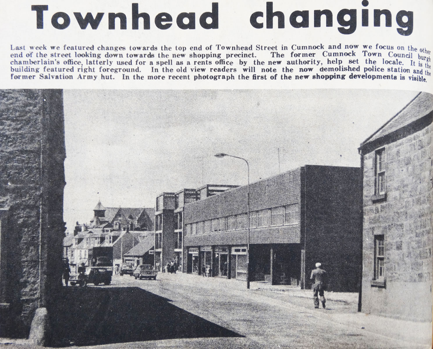
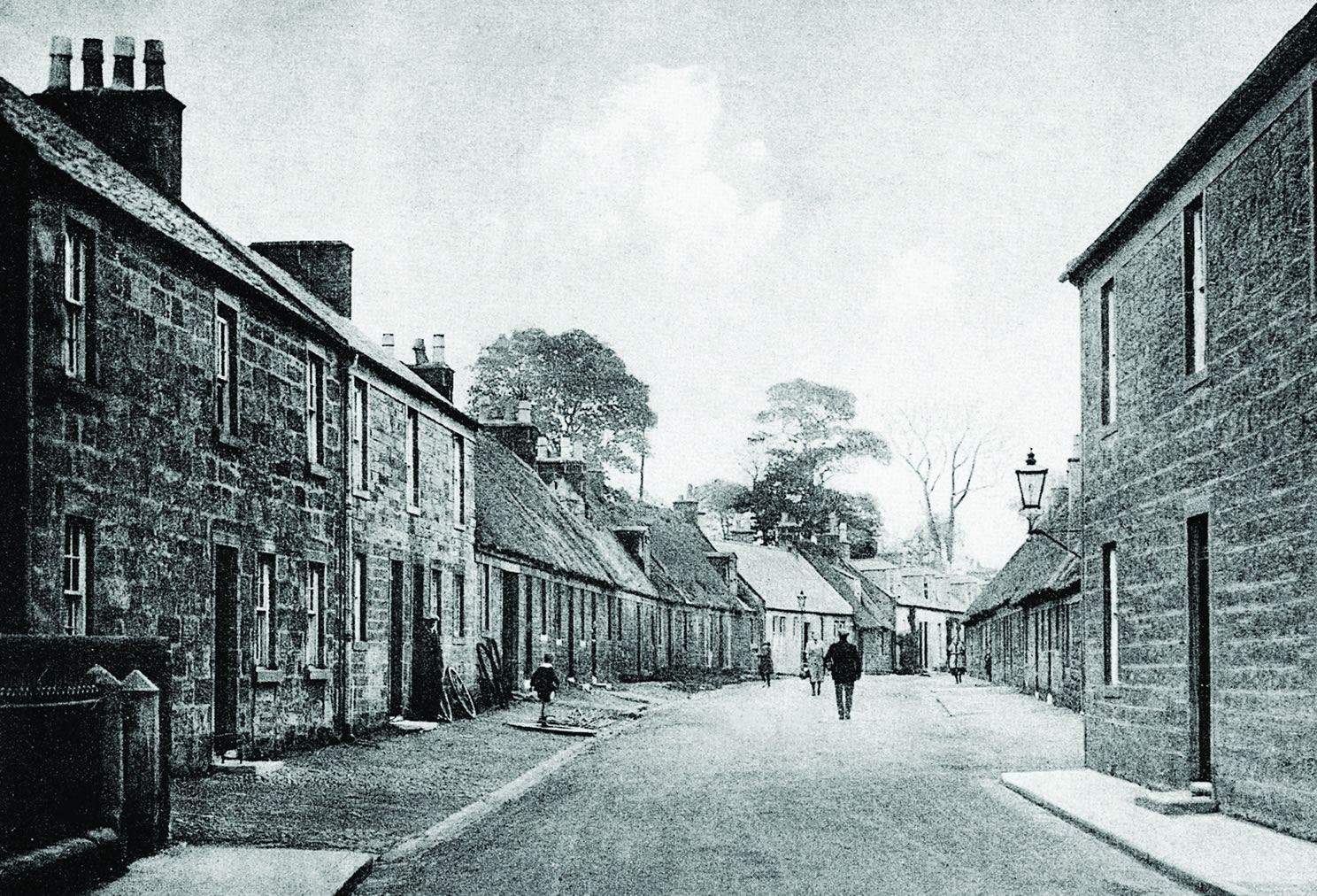
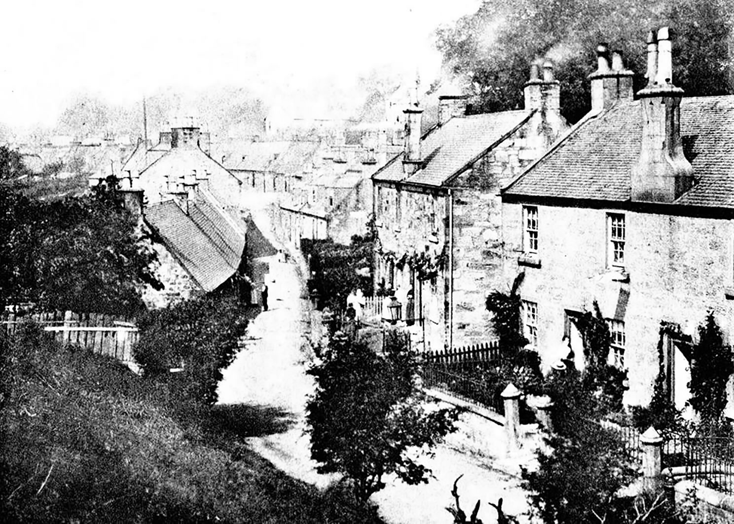
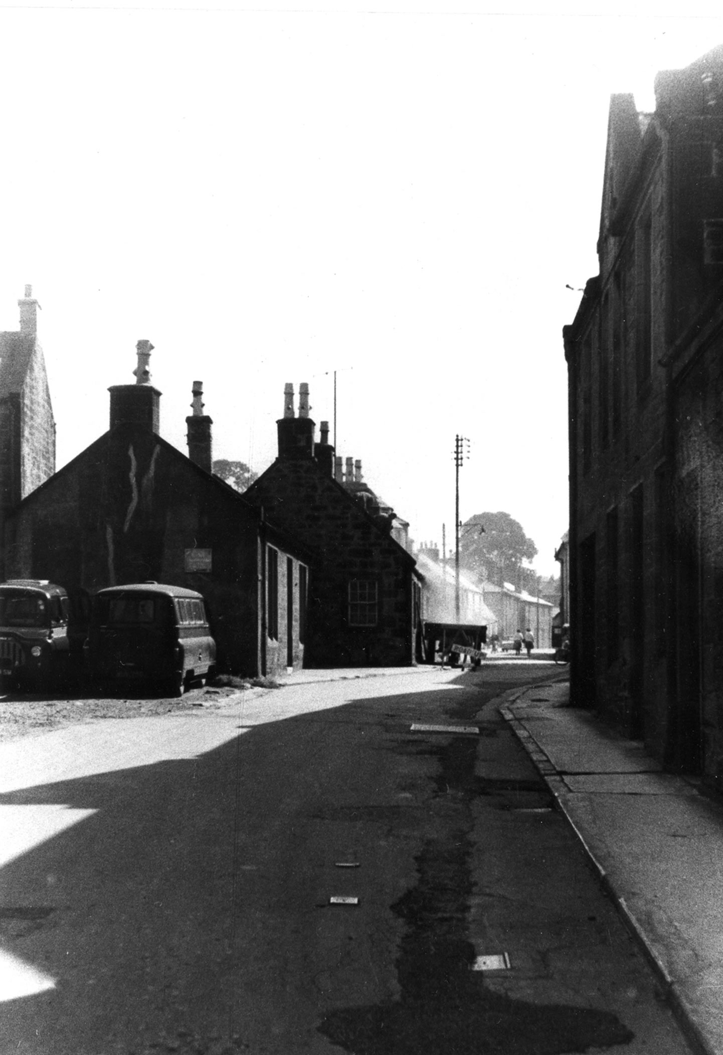
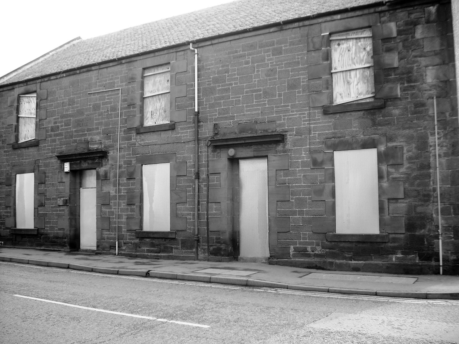
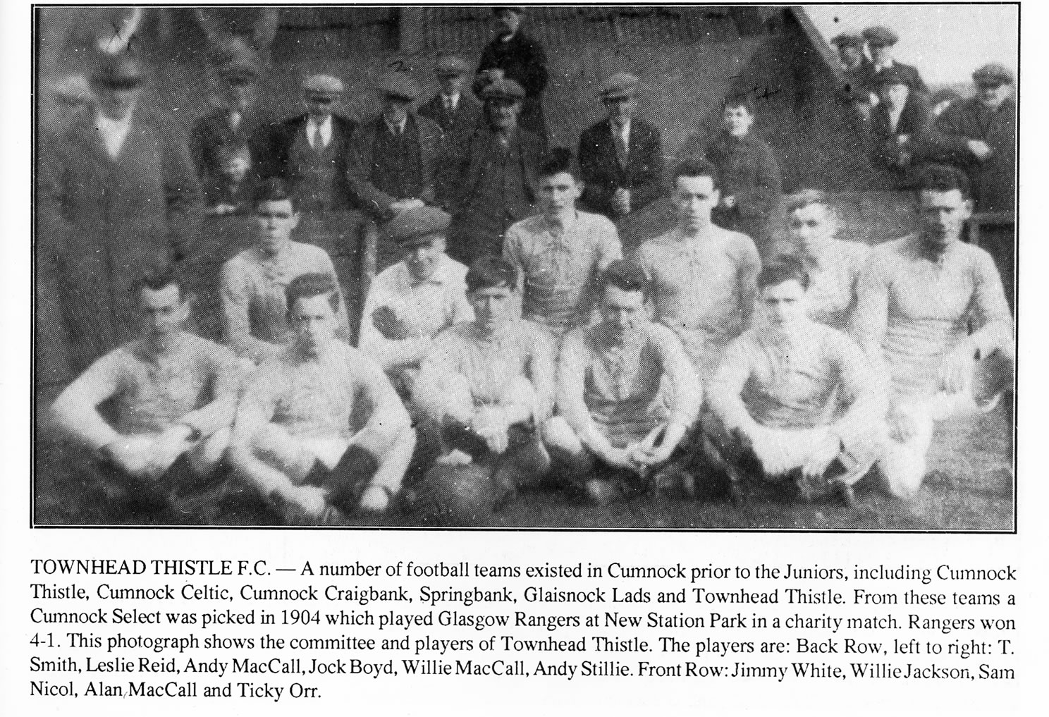
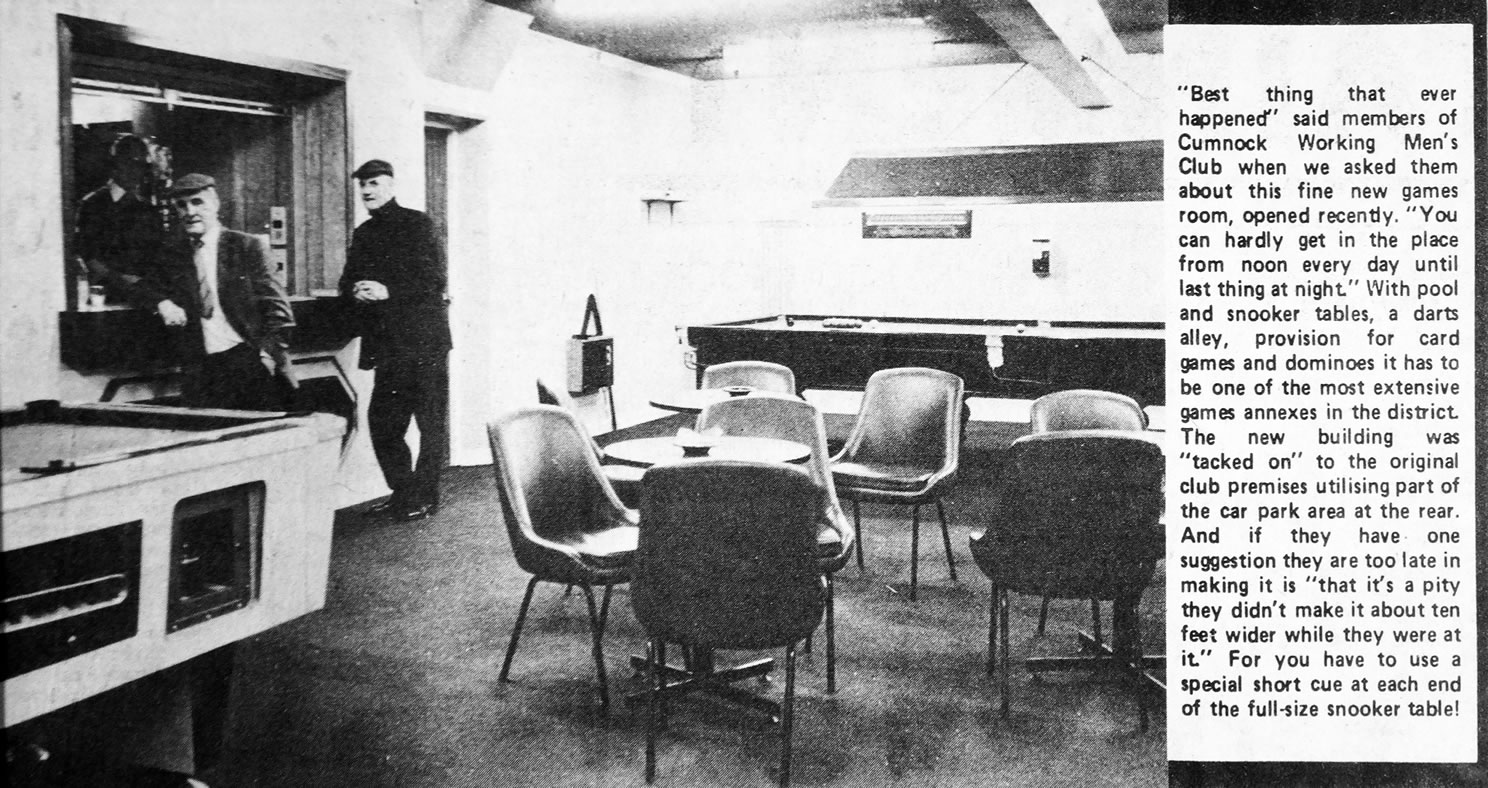
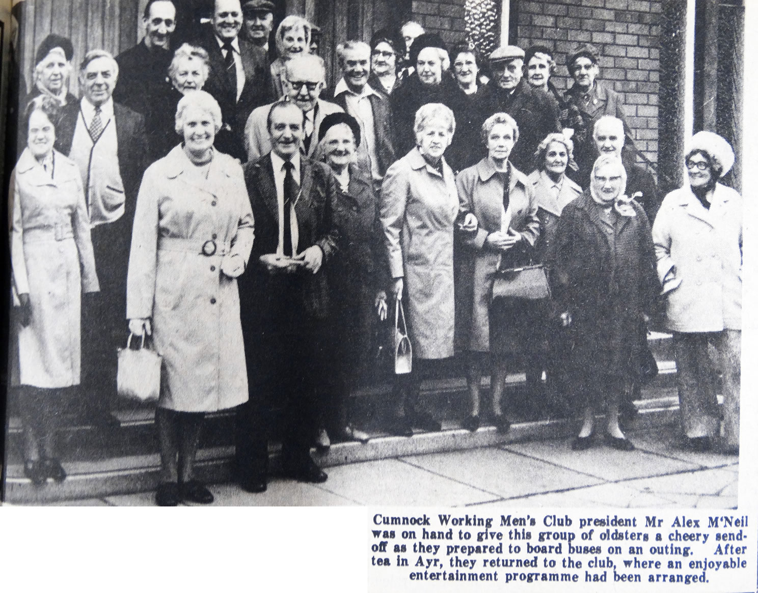
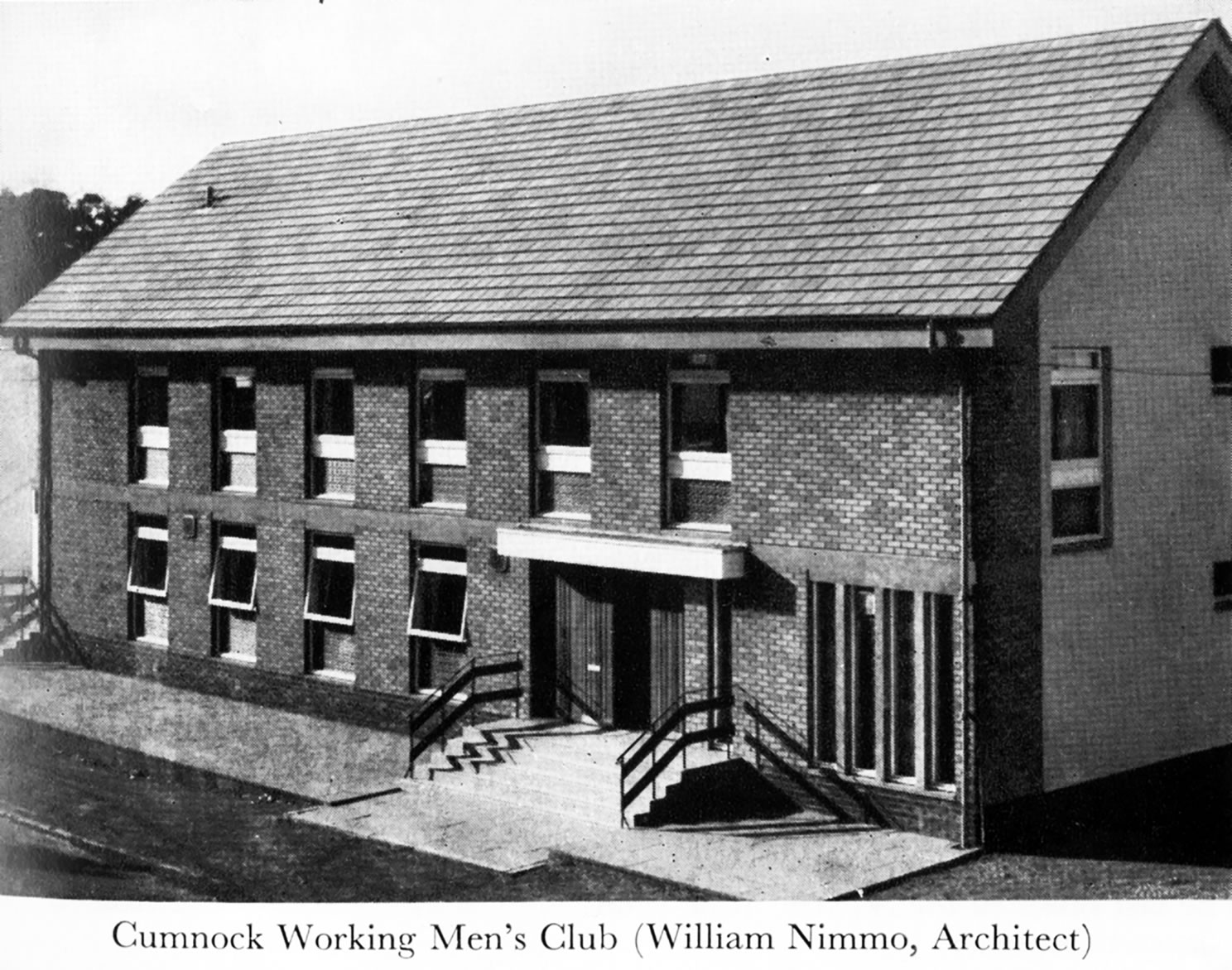
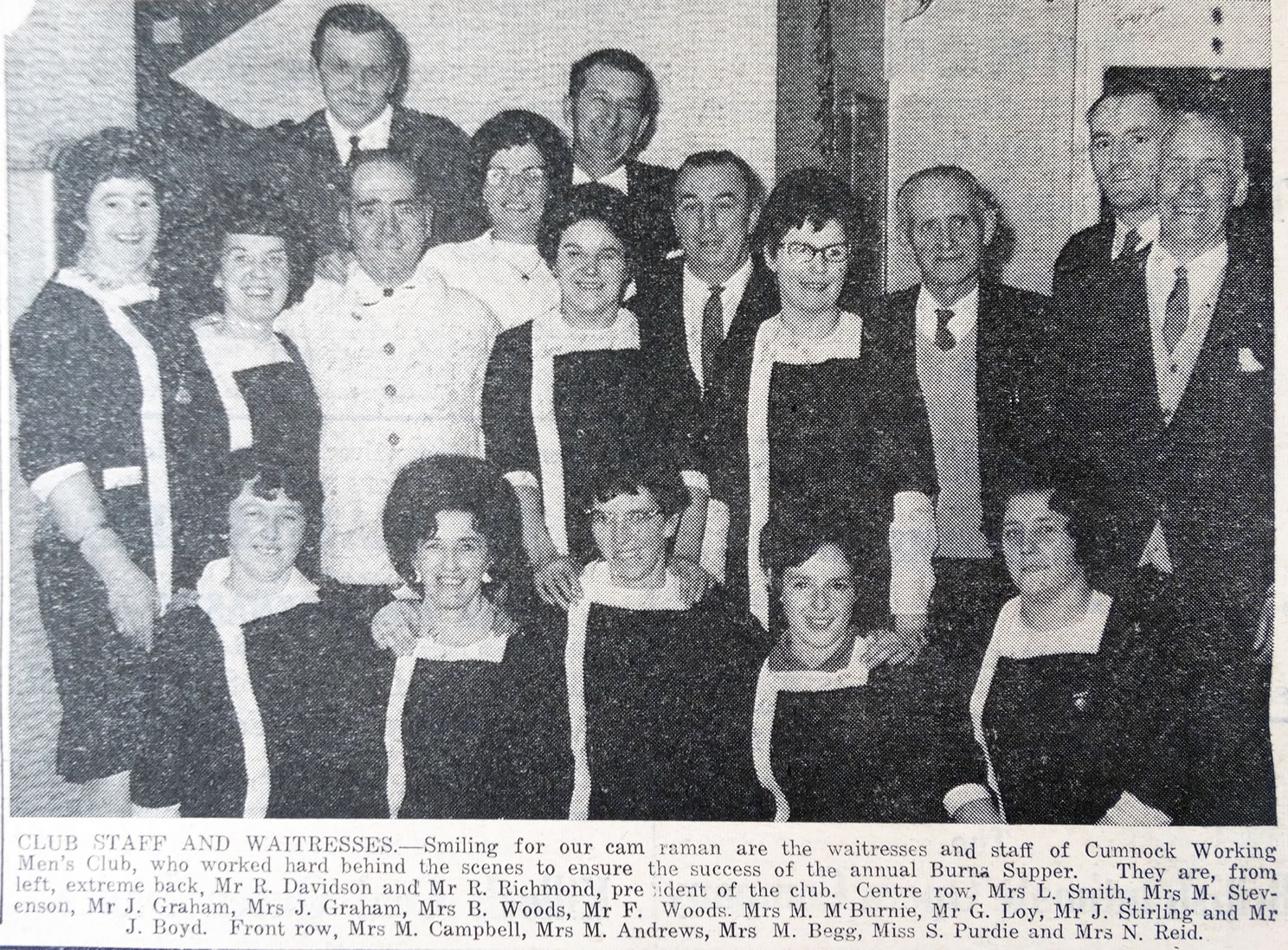
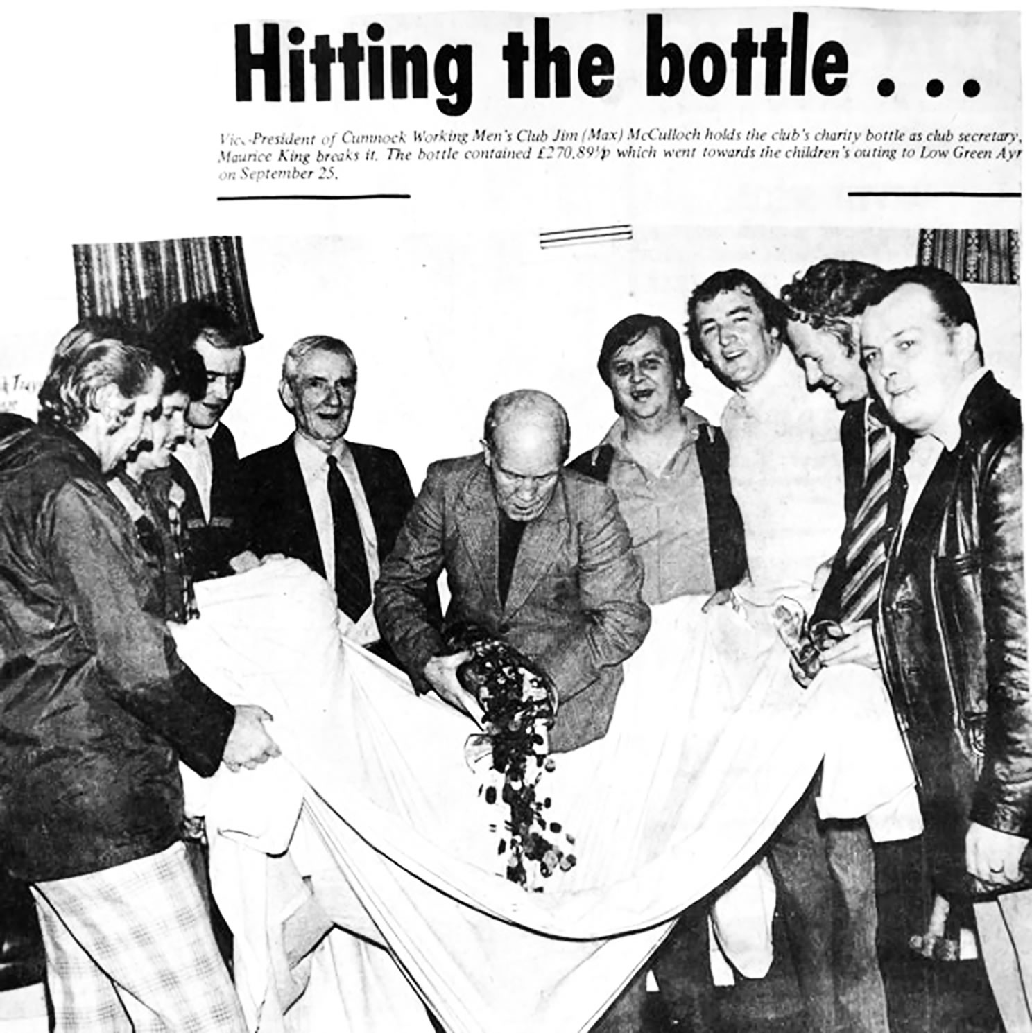
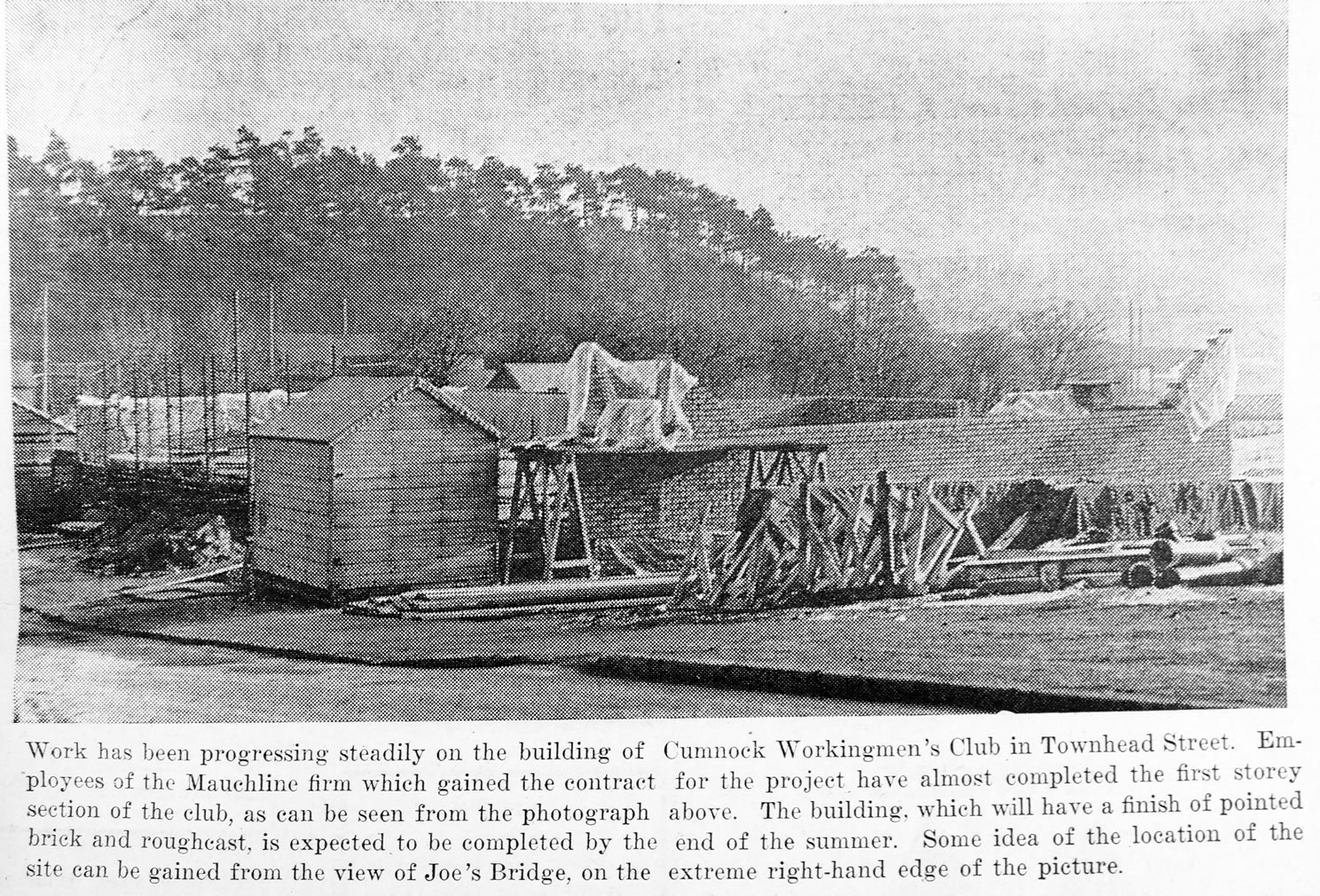
A selection of views and articles about Townhead Street and the surrounding area.
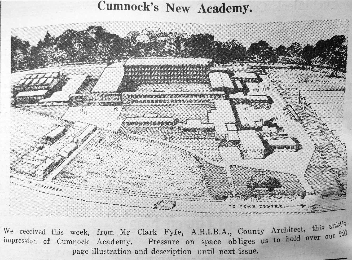
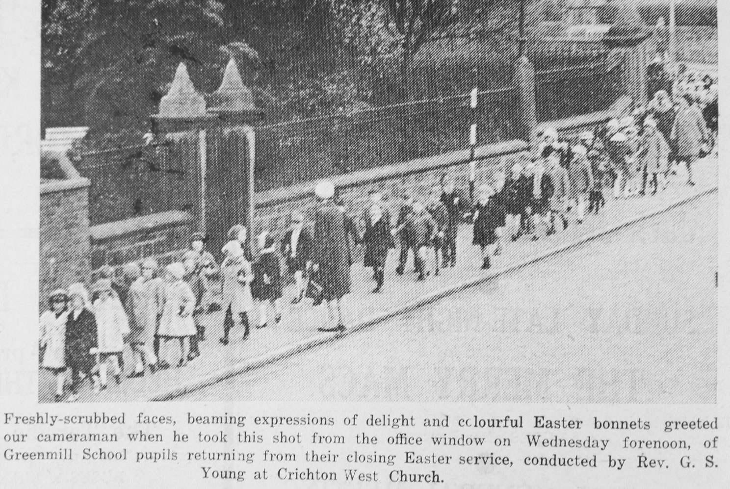
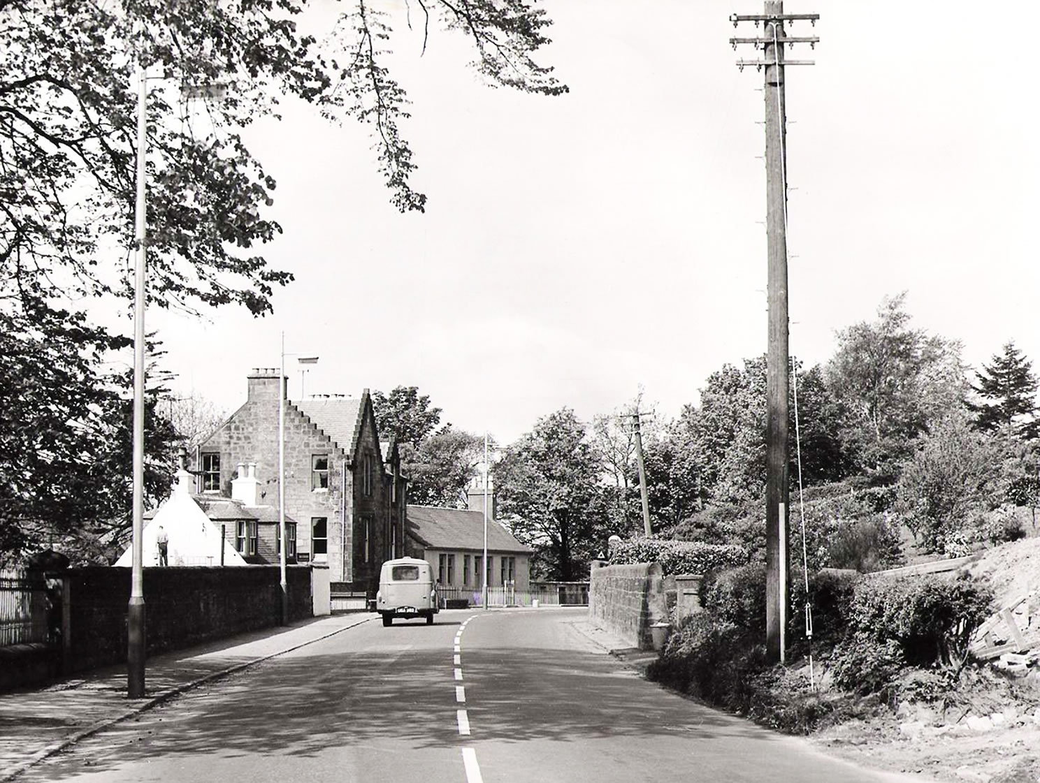
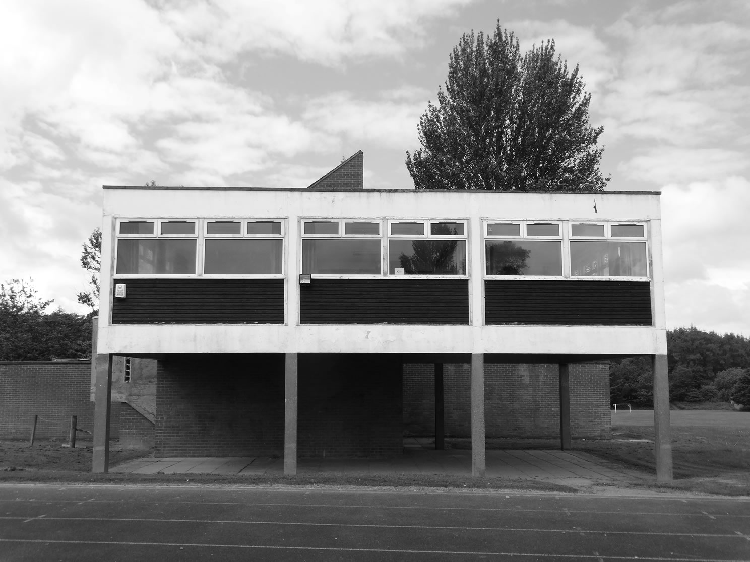
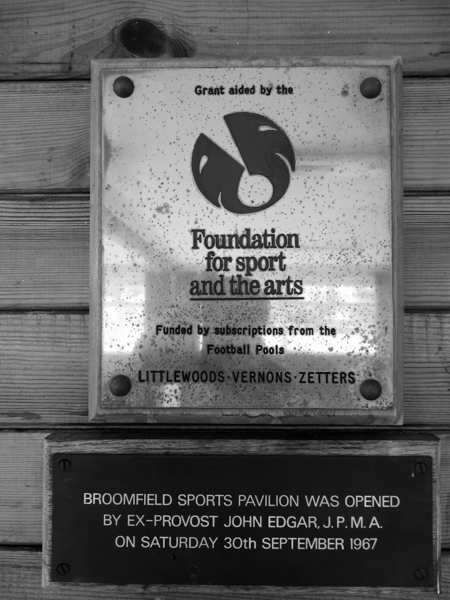
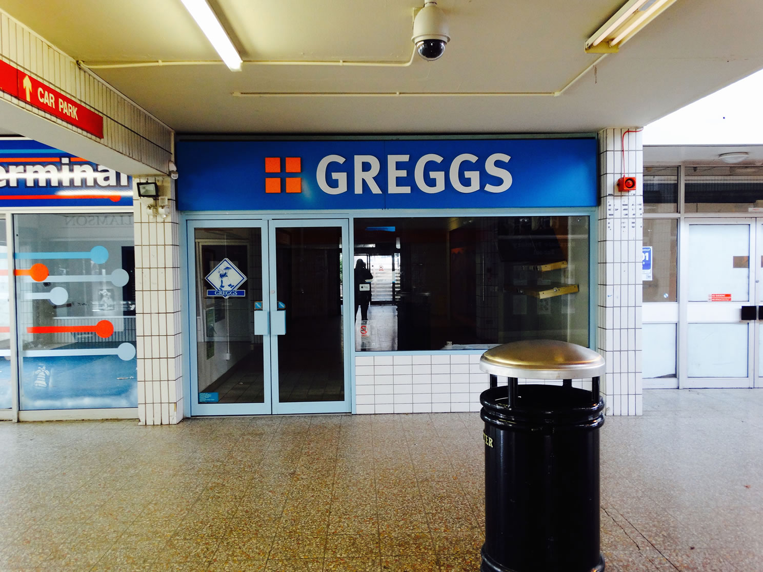
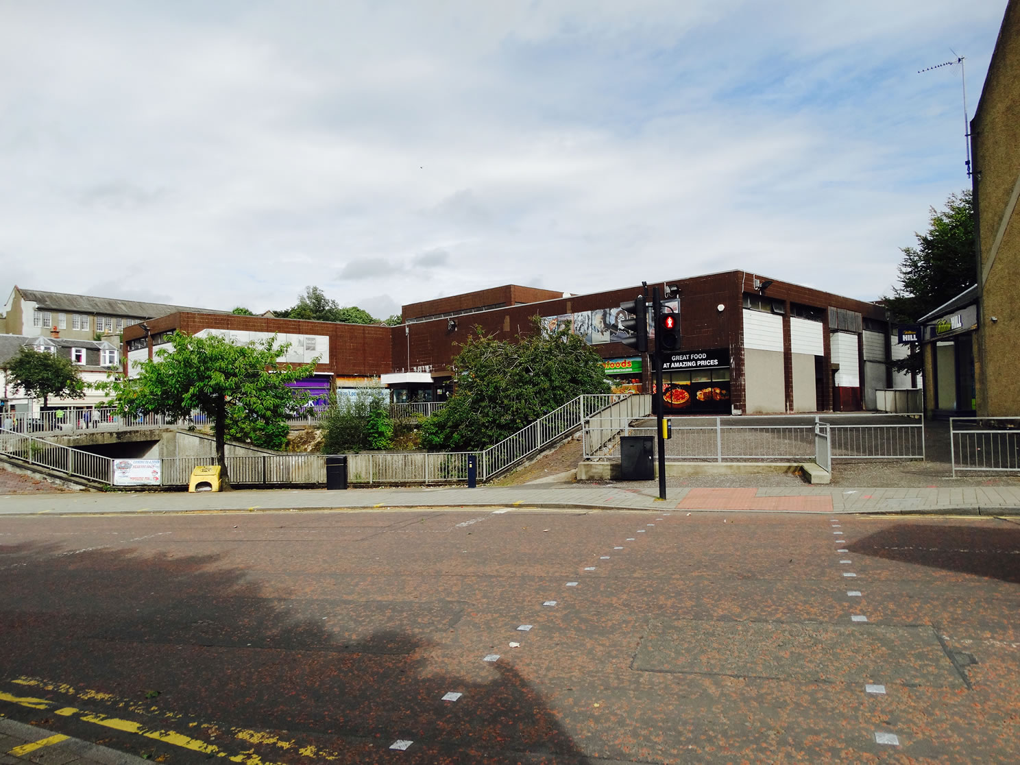
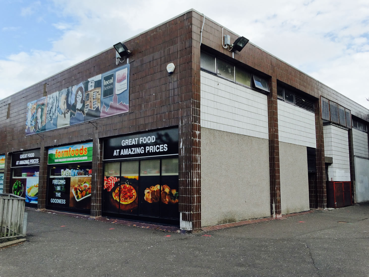
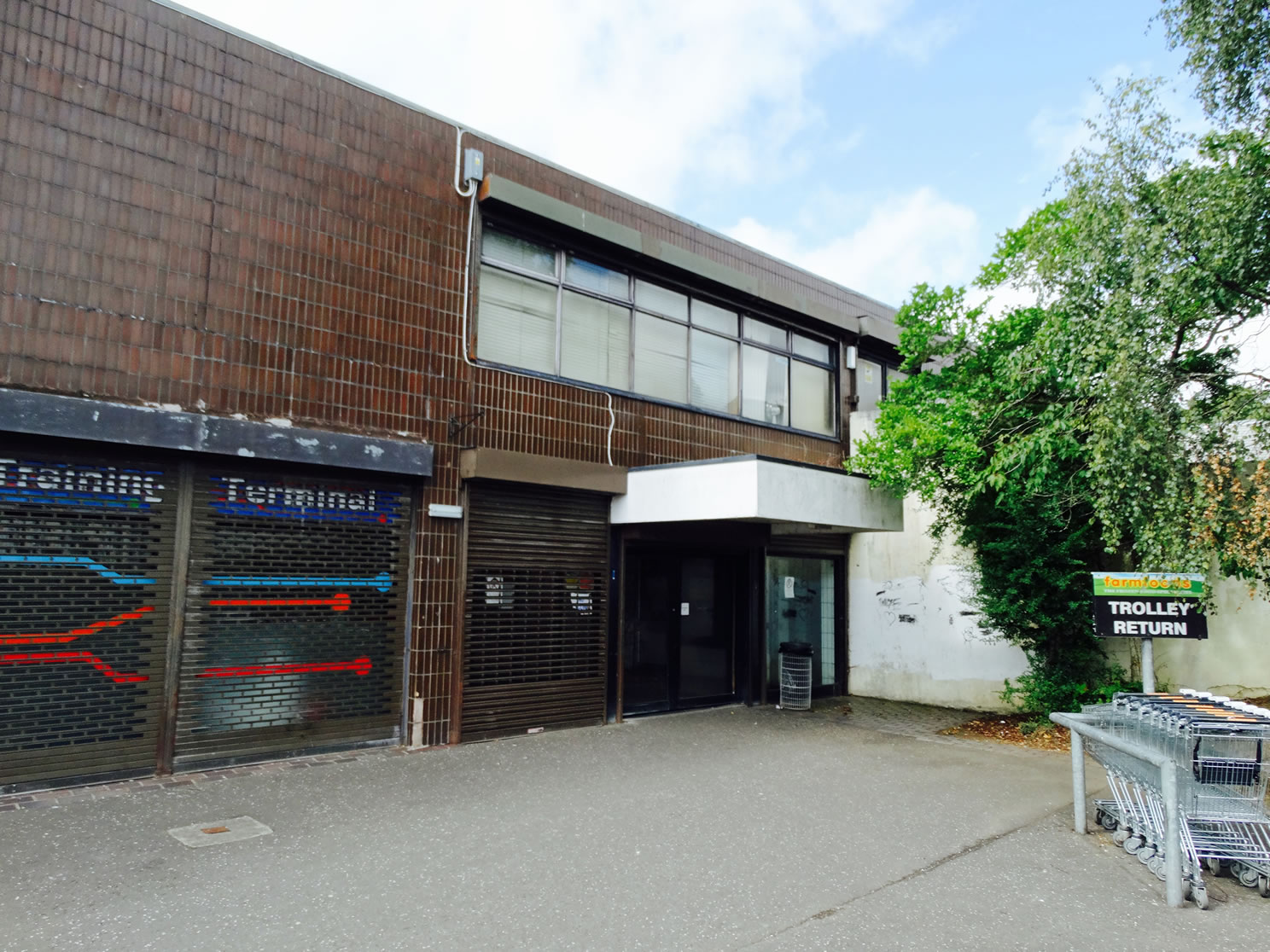
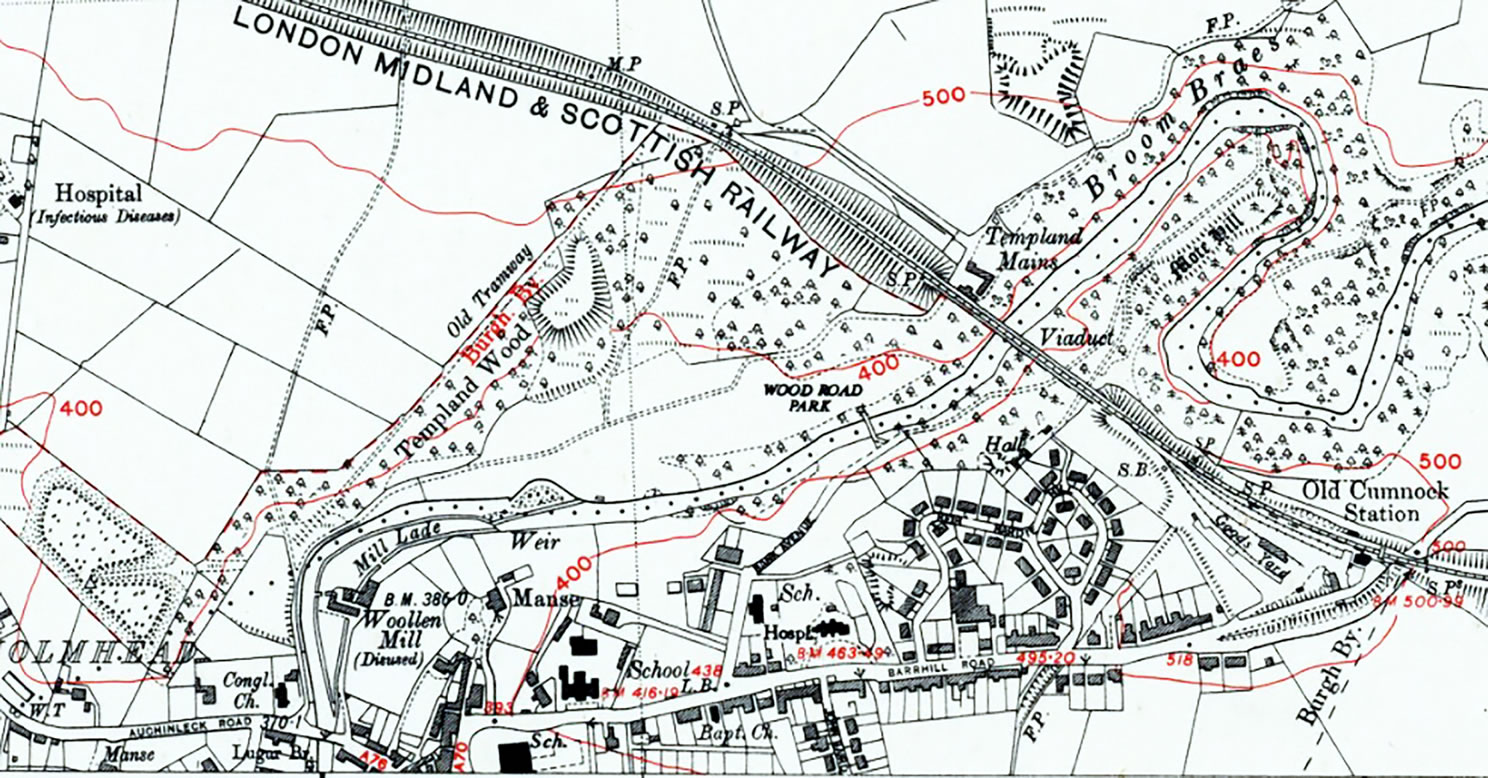
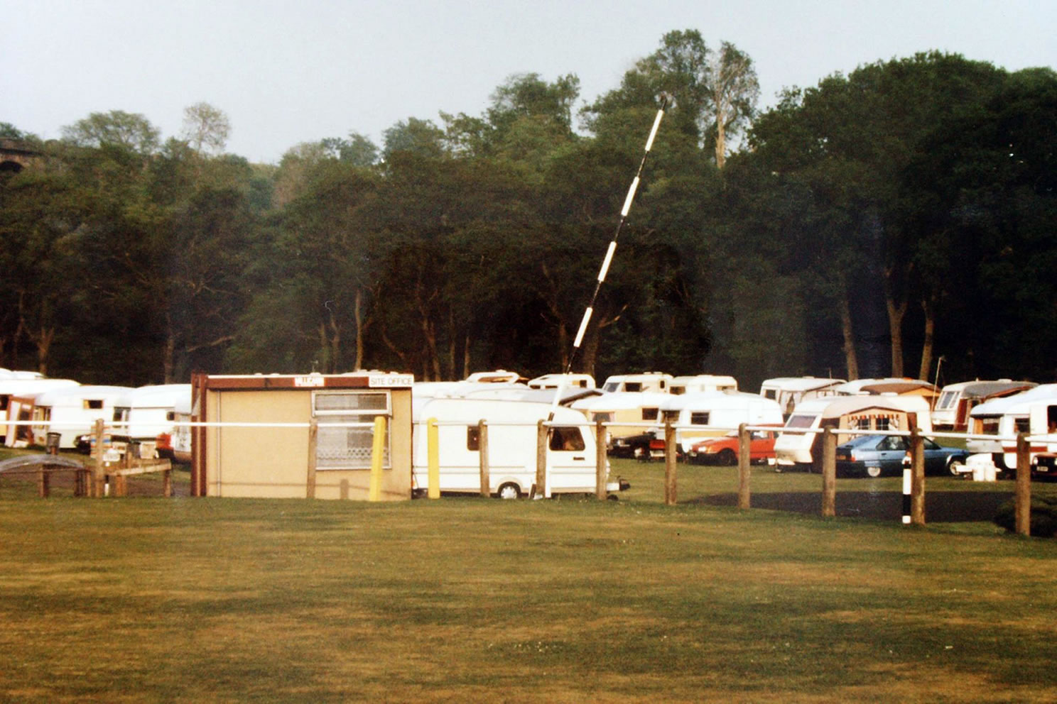
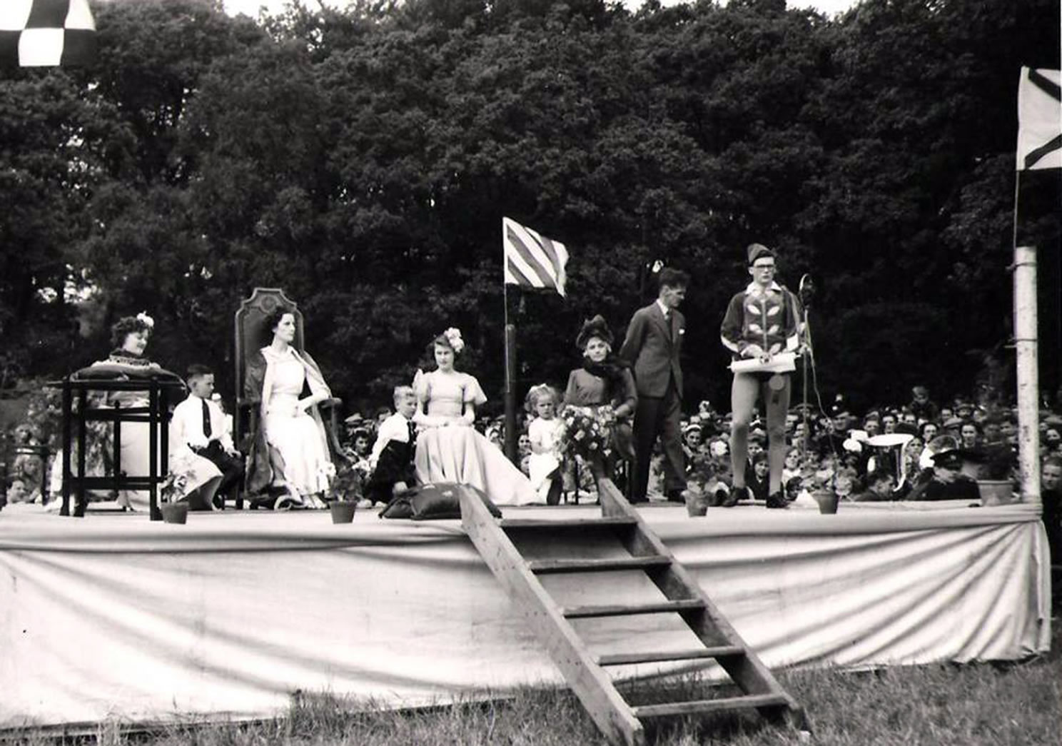
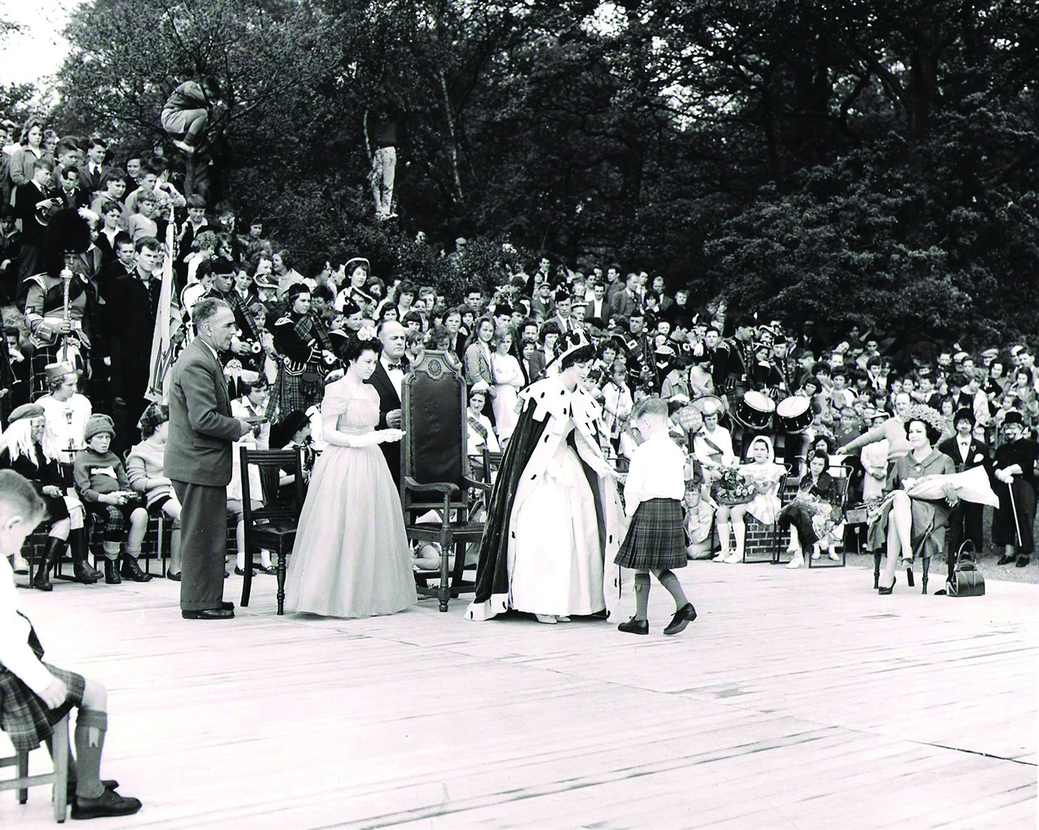
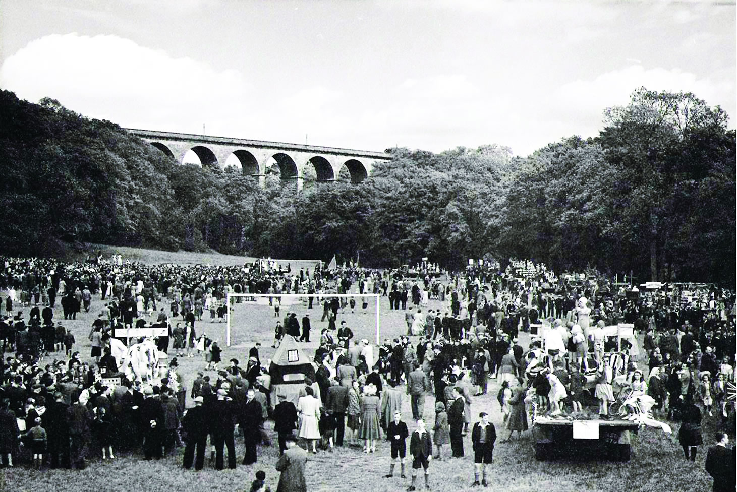
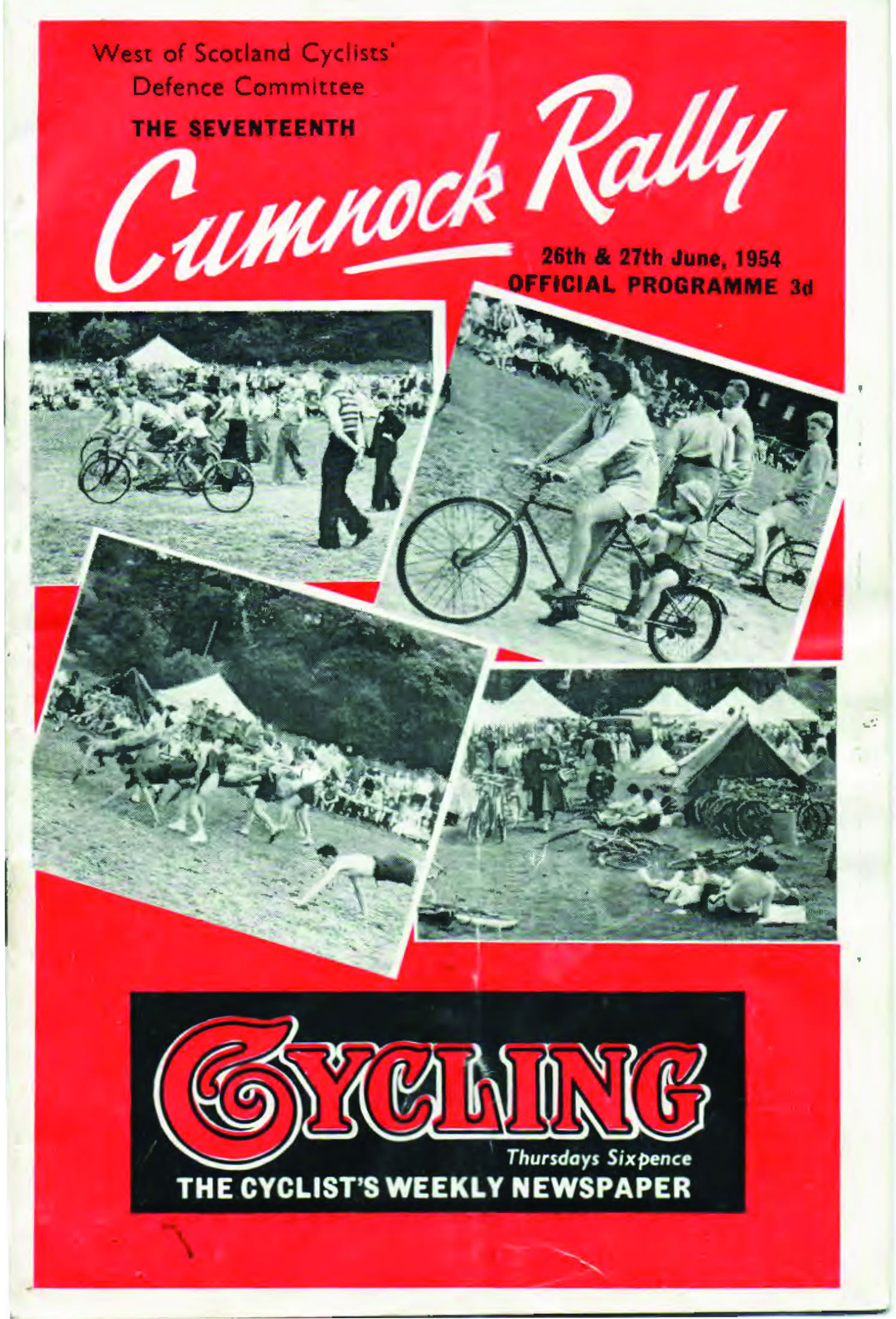
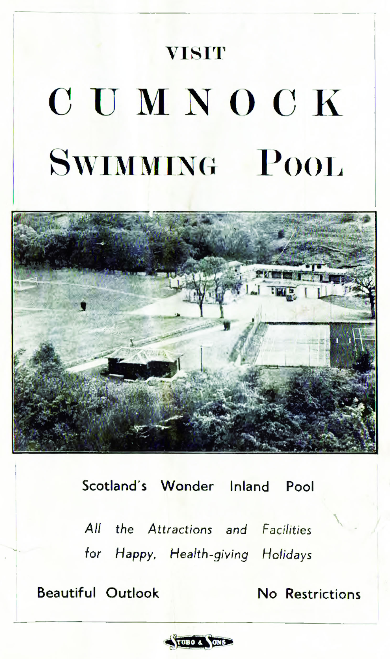
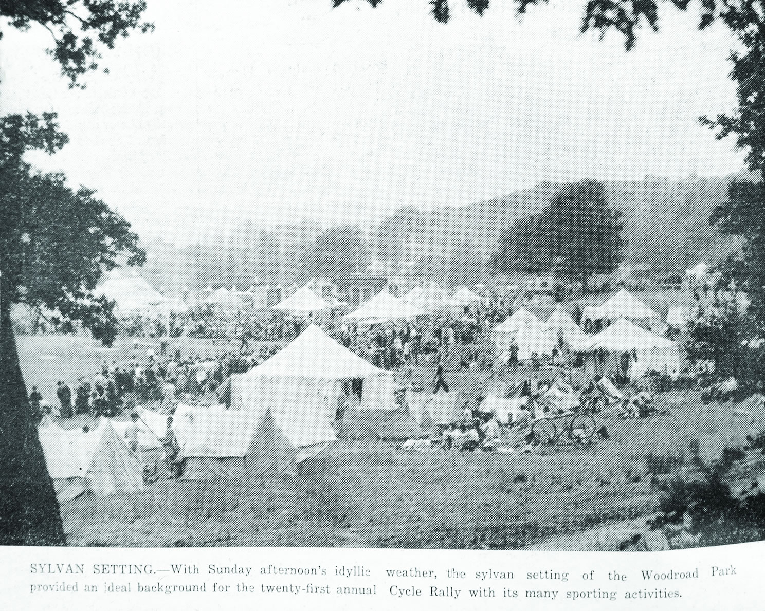
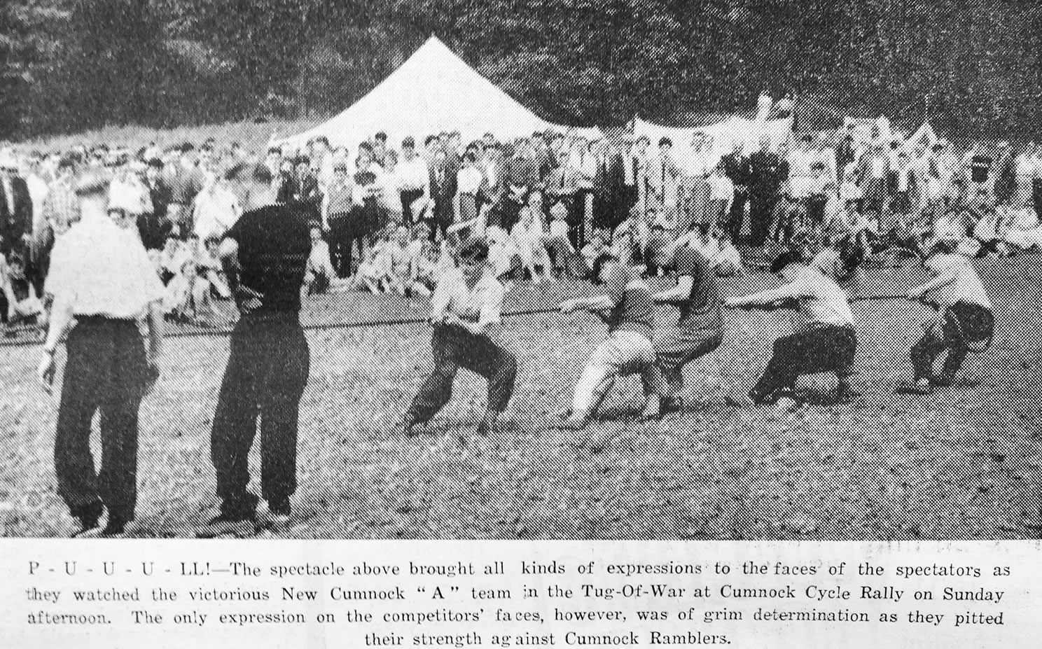
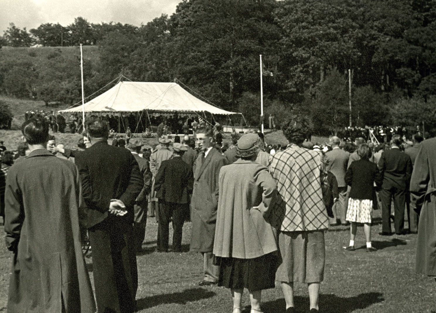
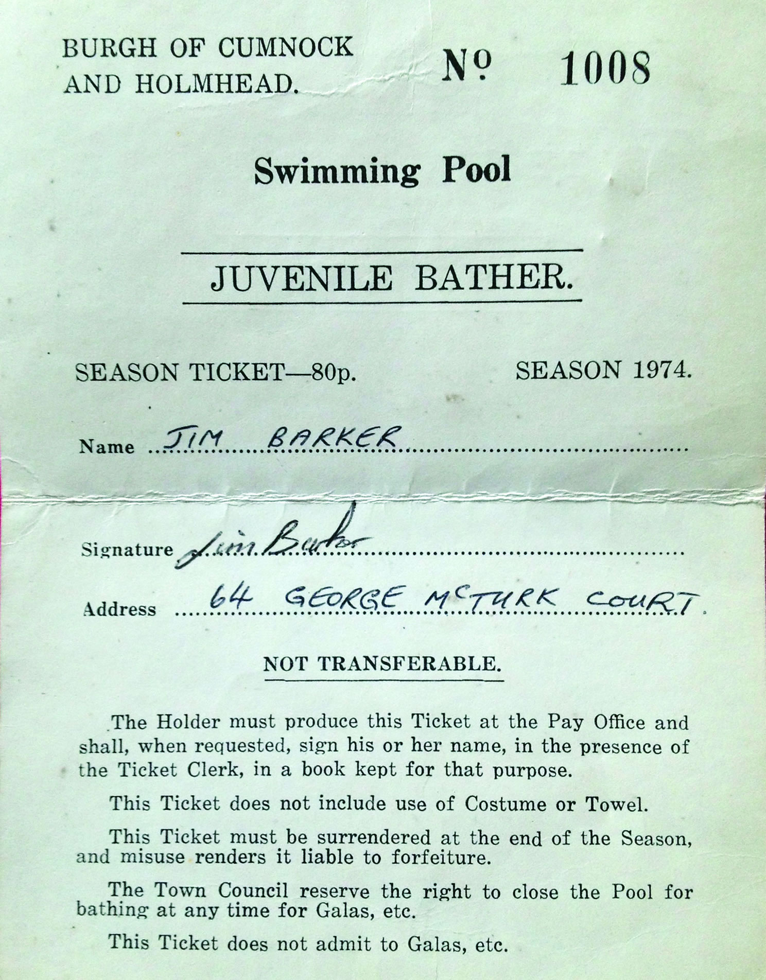
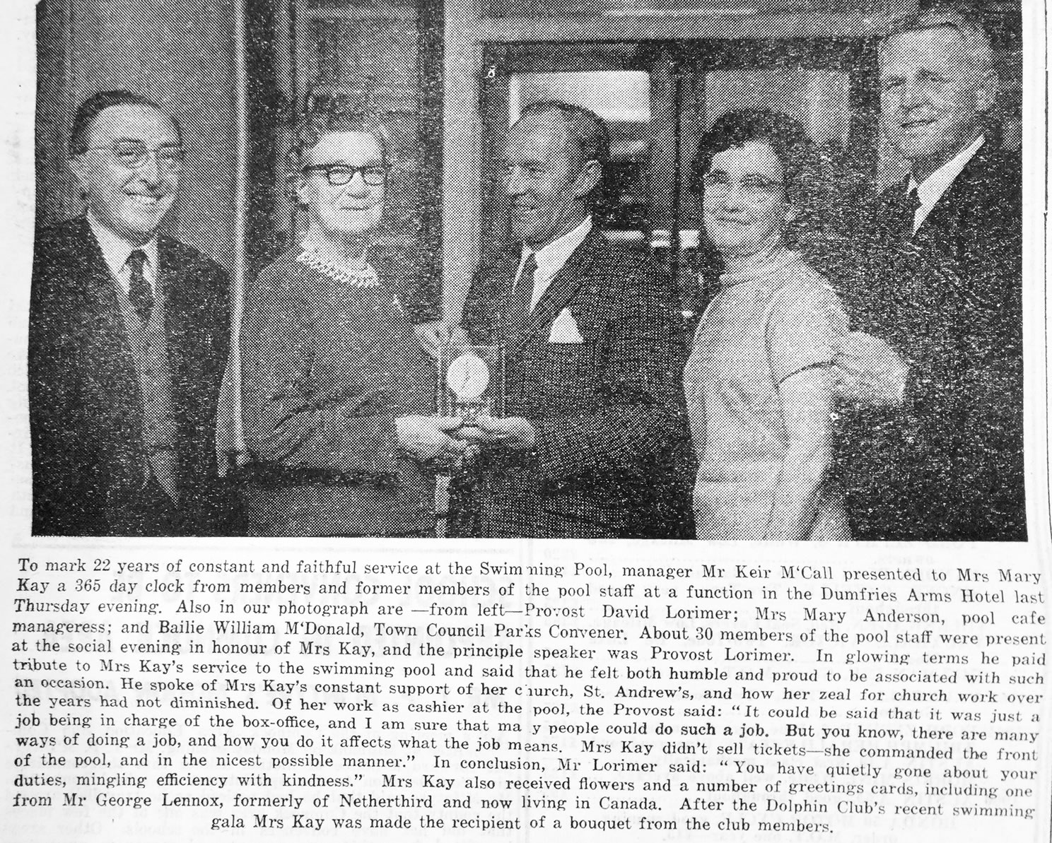
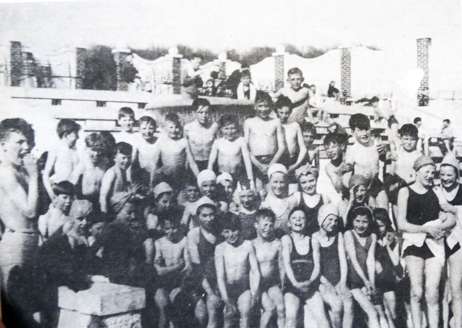
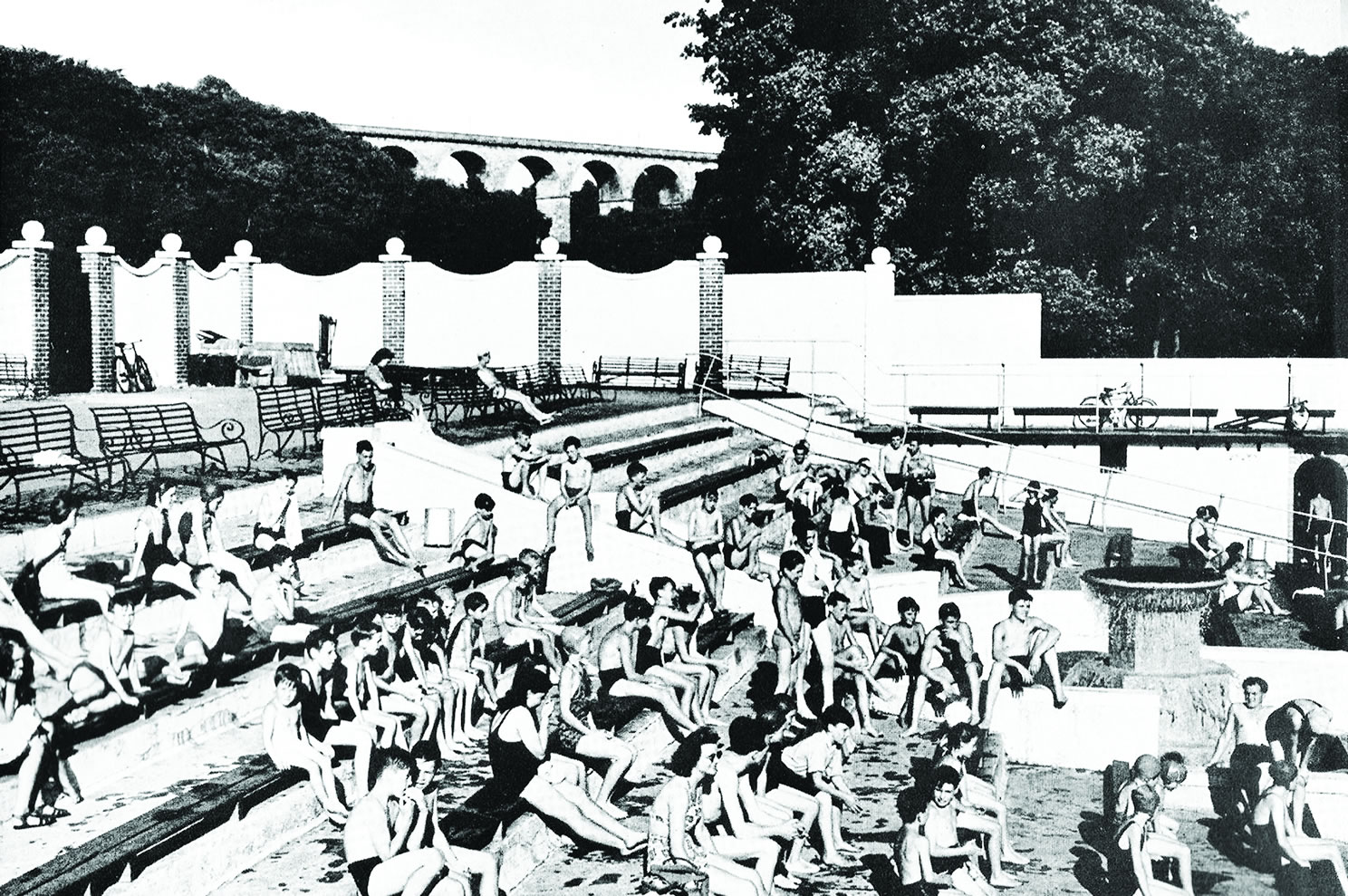
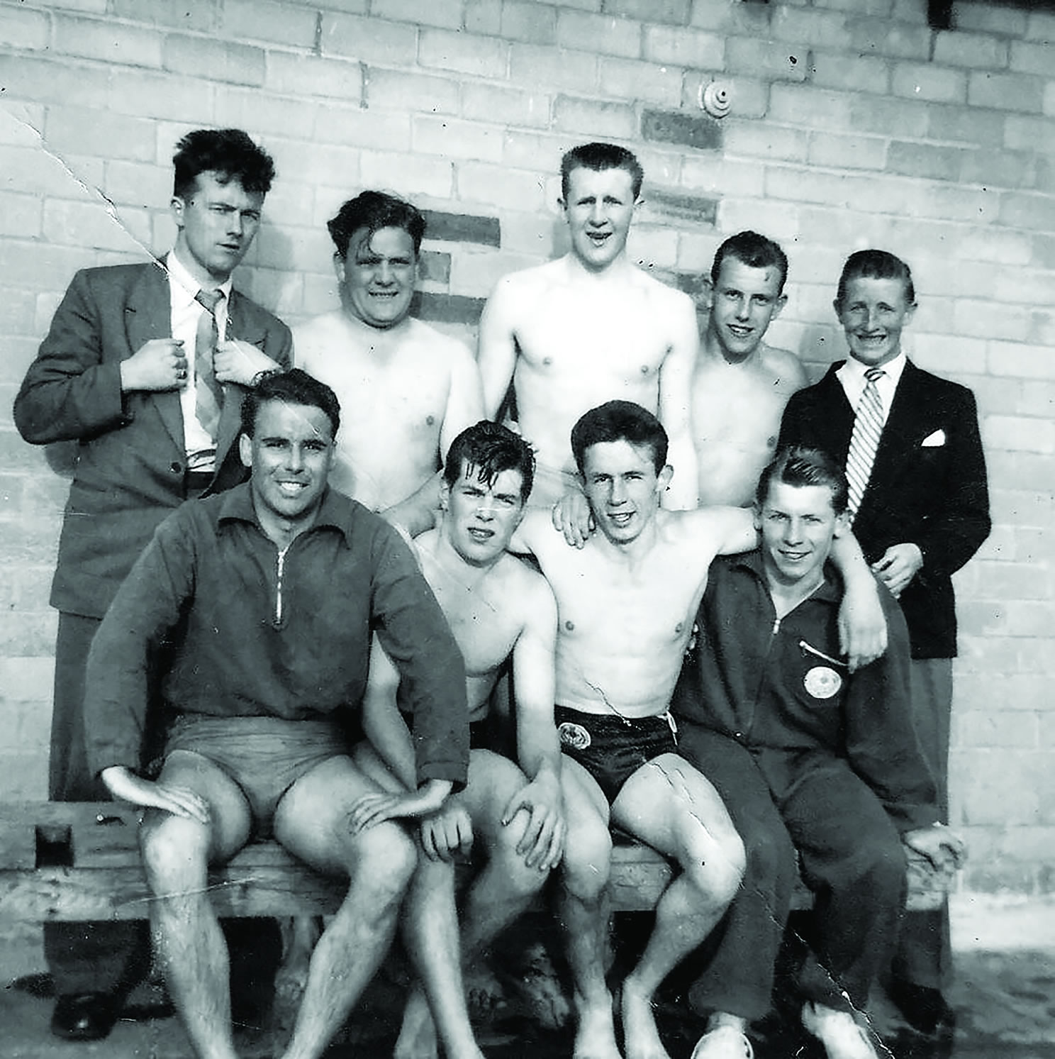
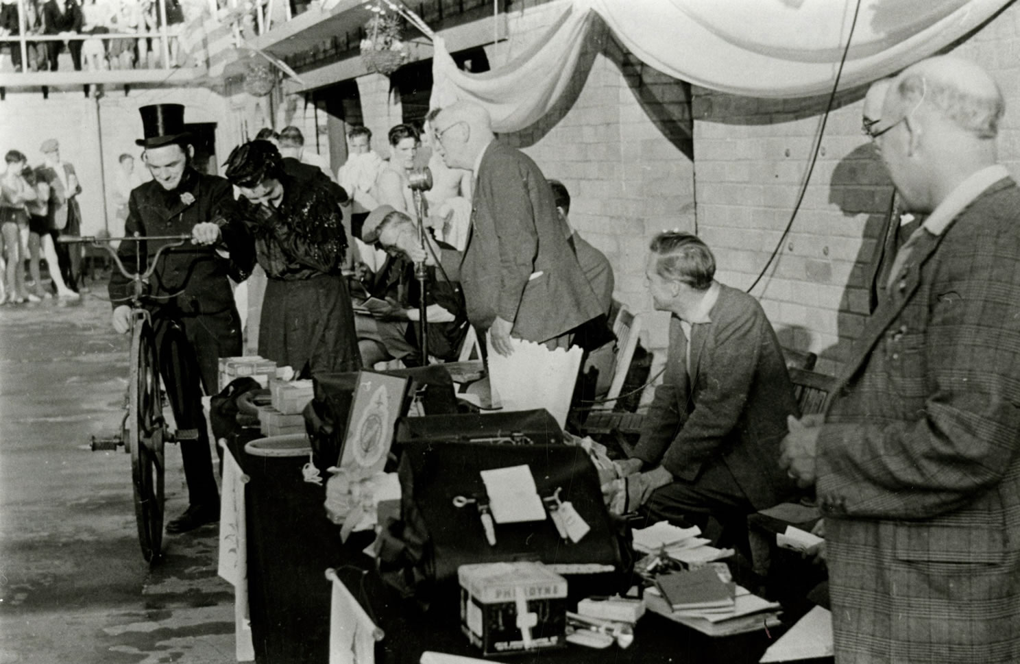
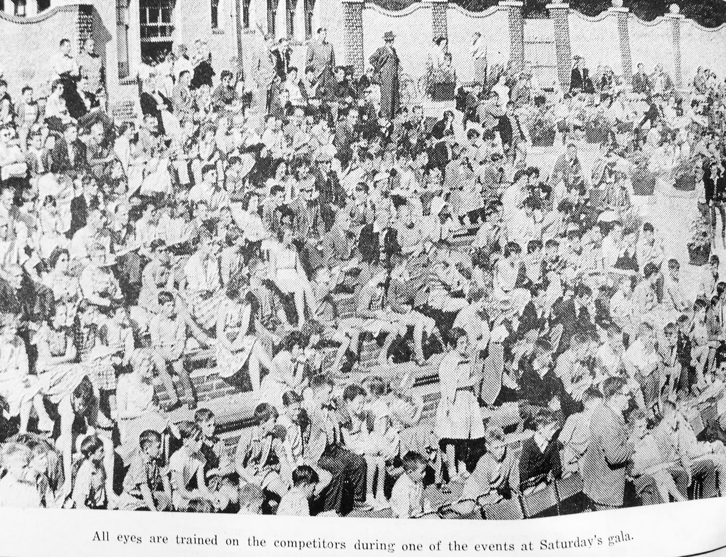
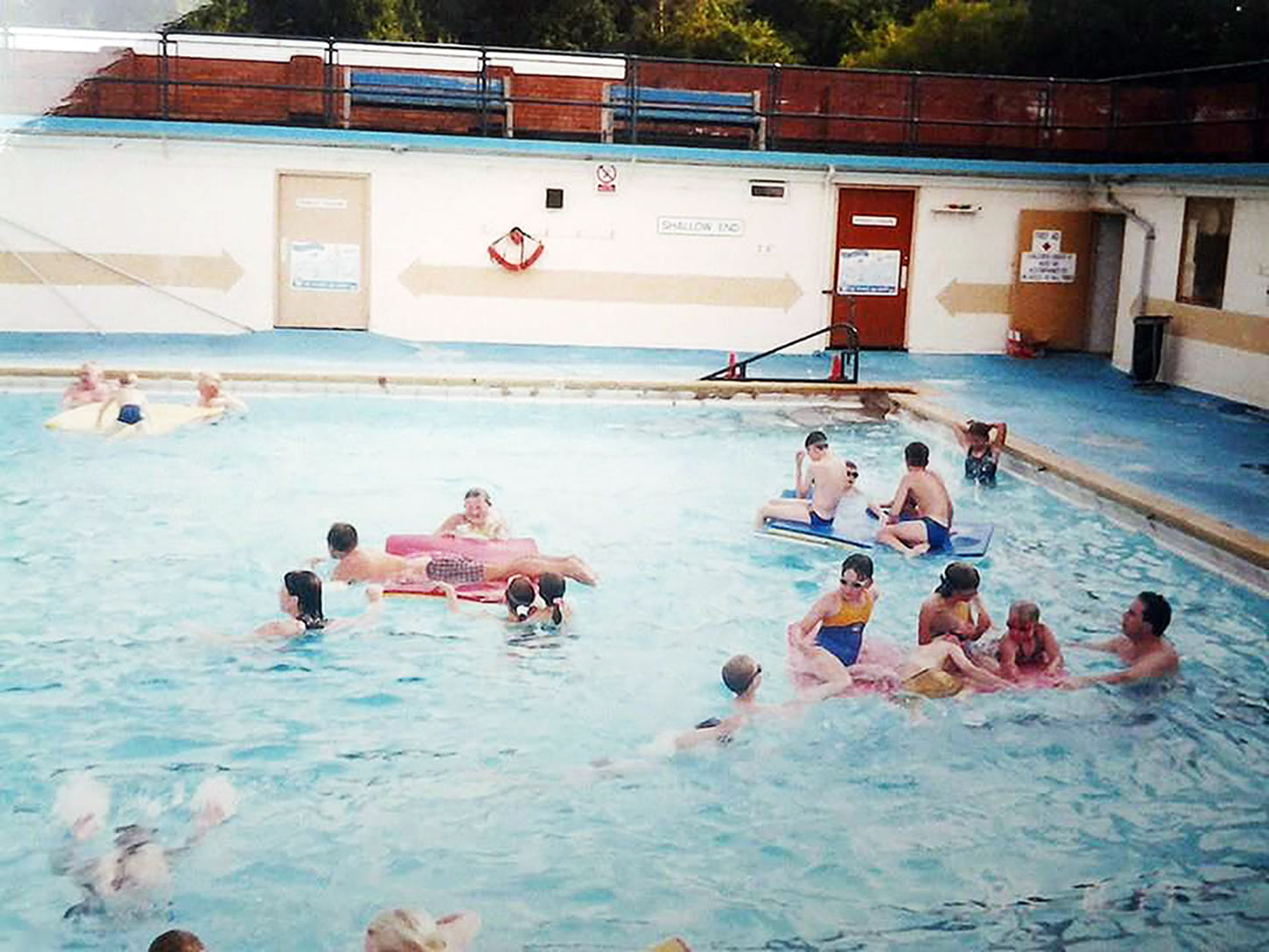
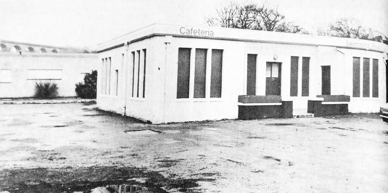
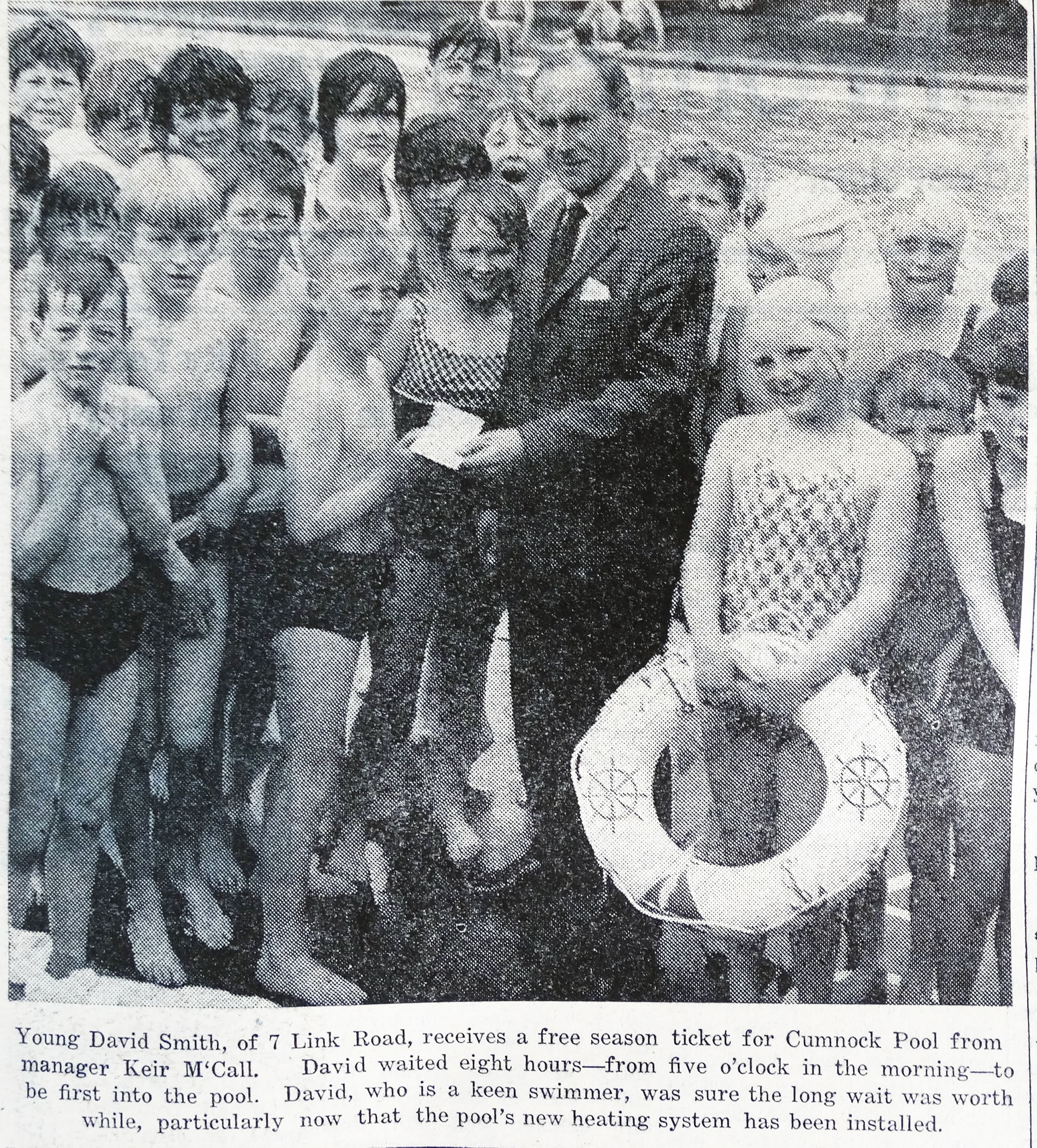
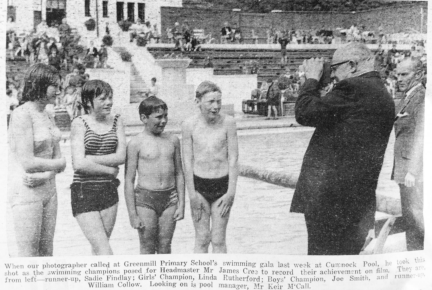
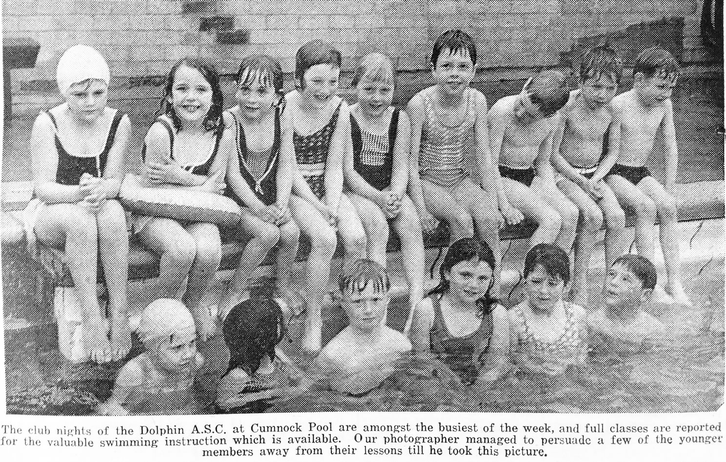
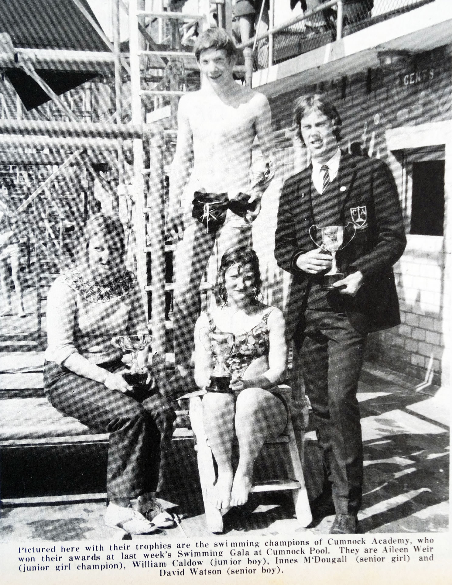
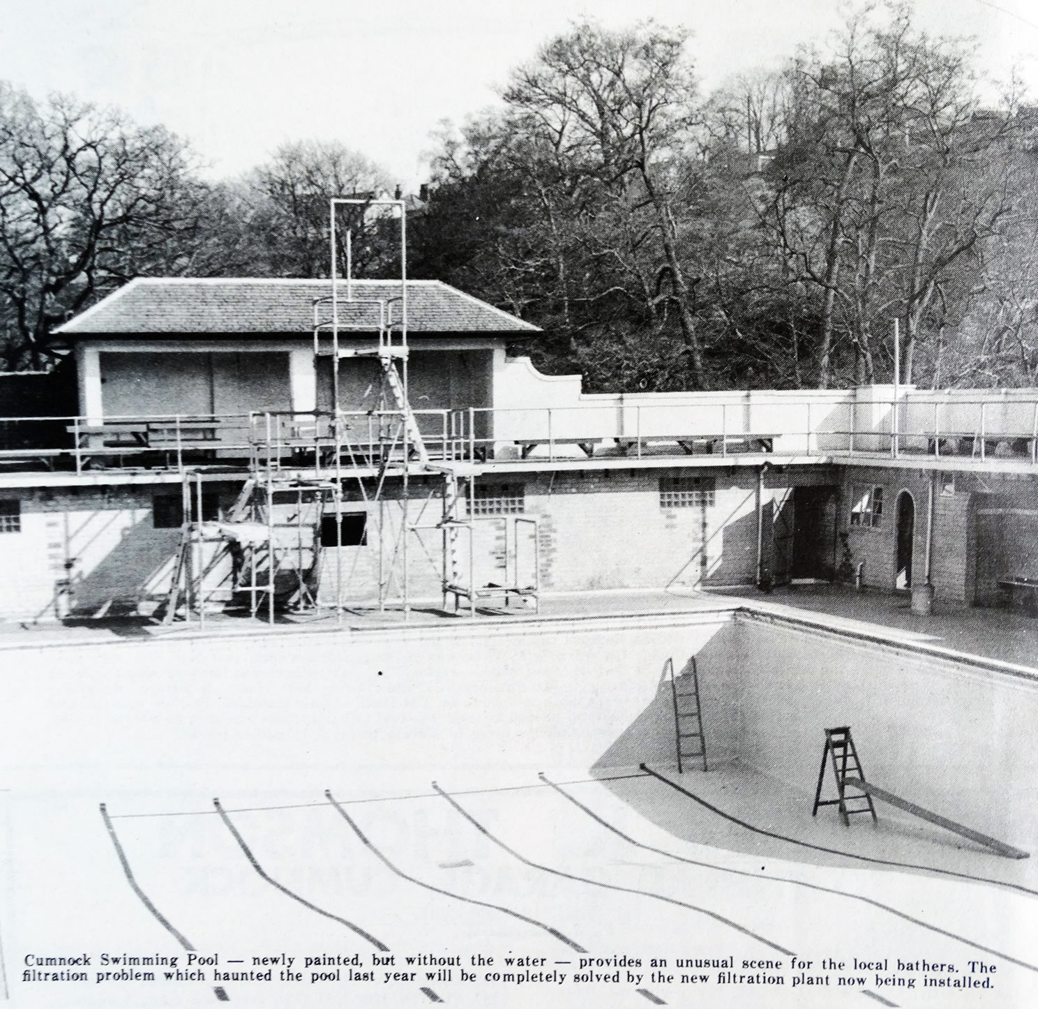
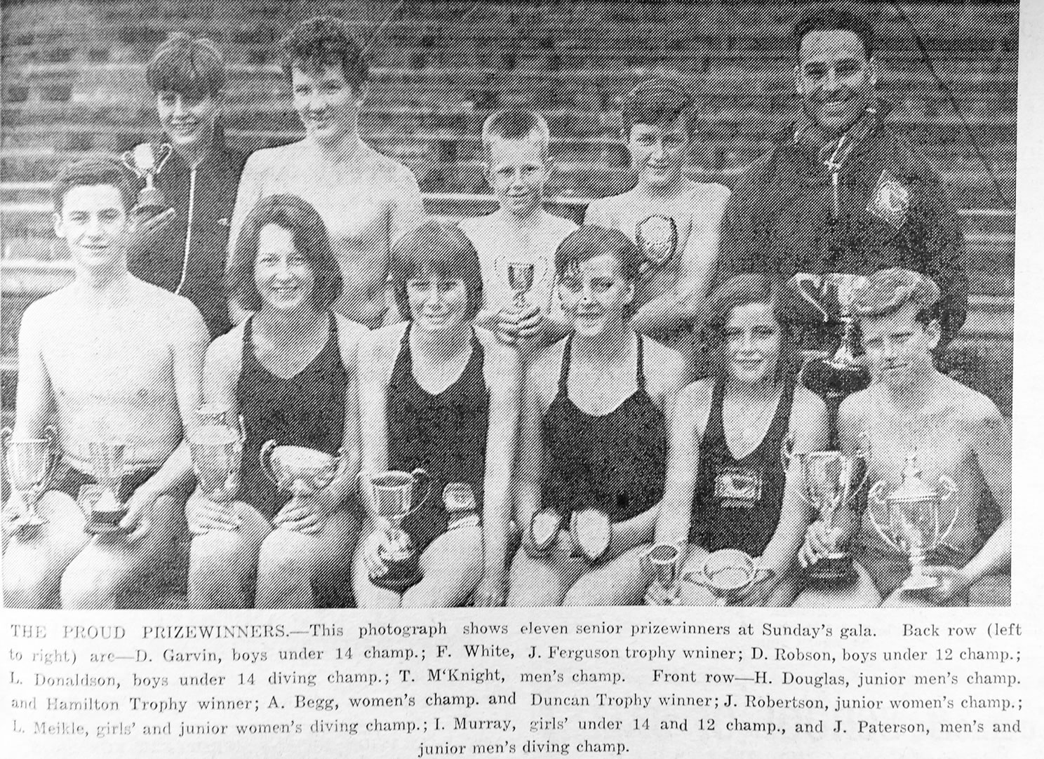
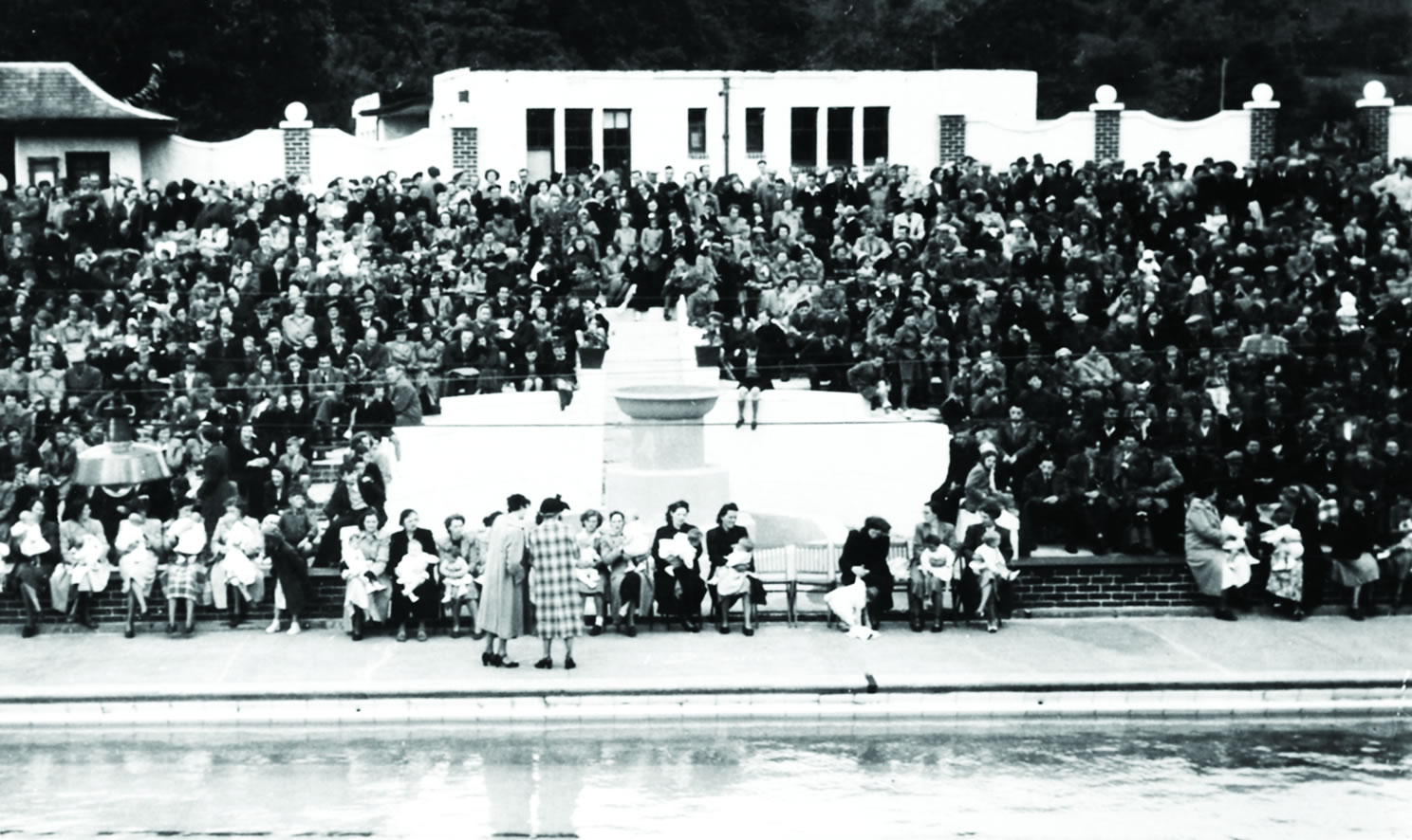
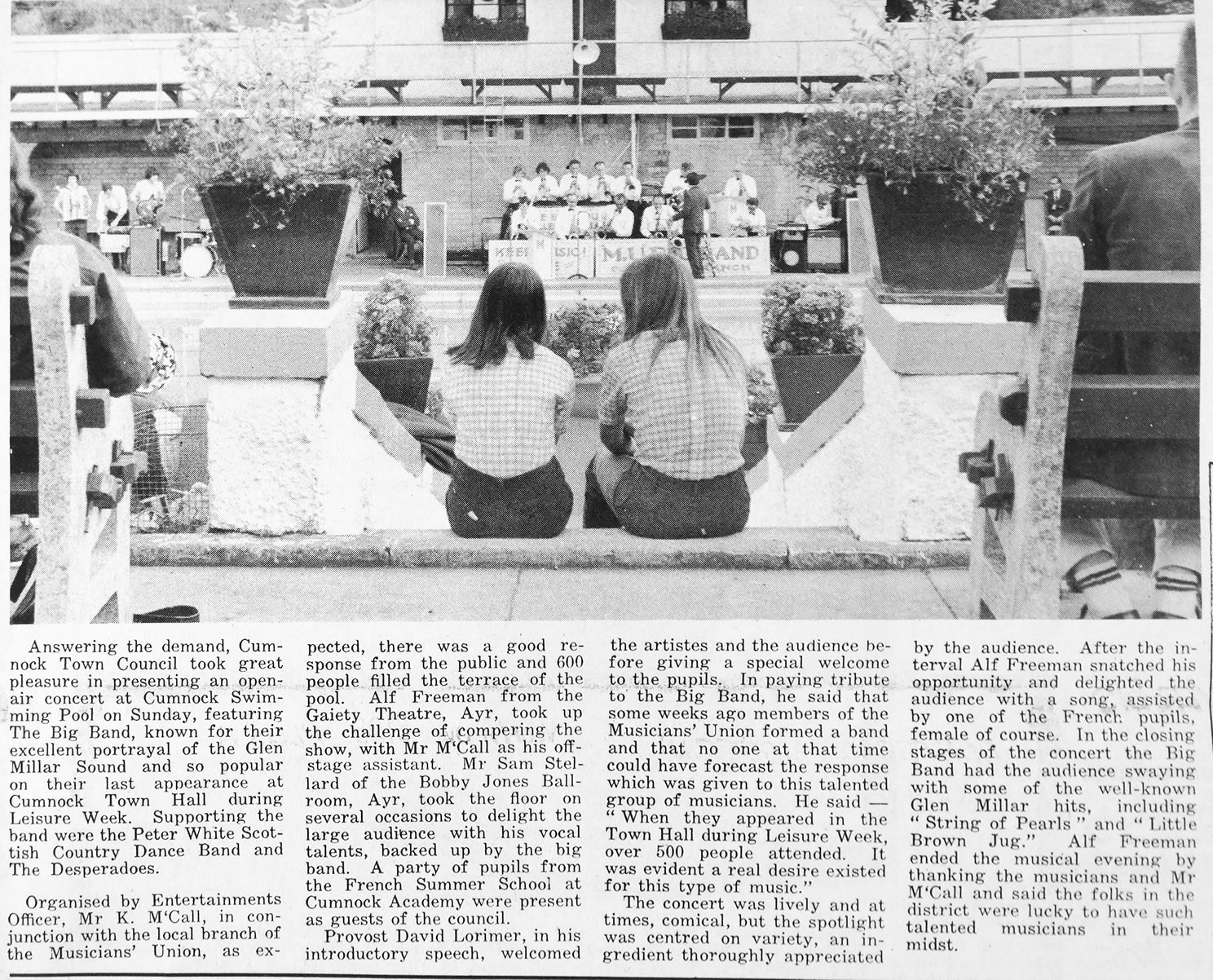
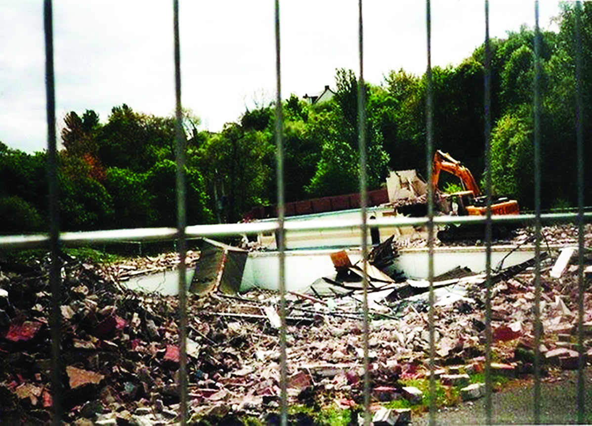
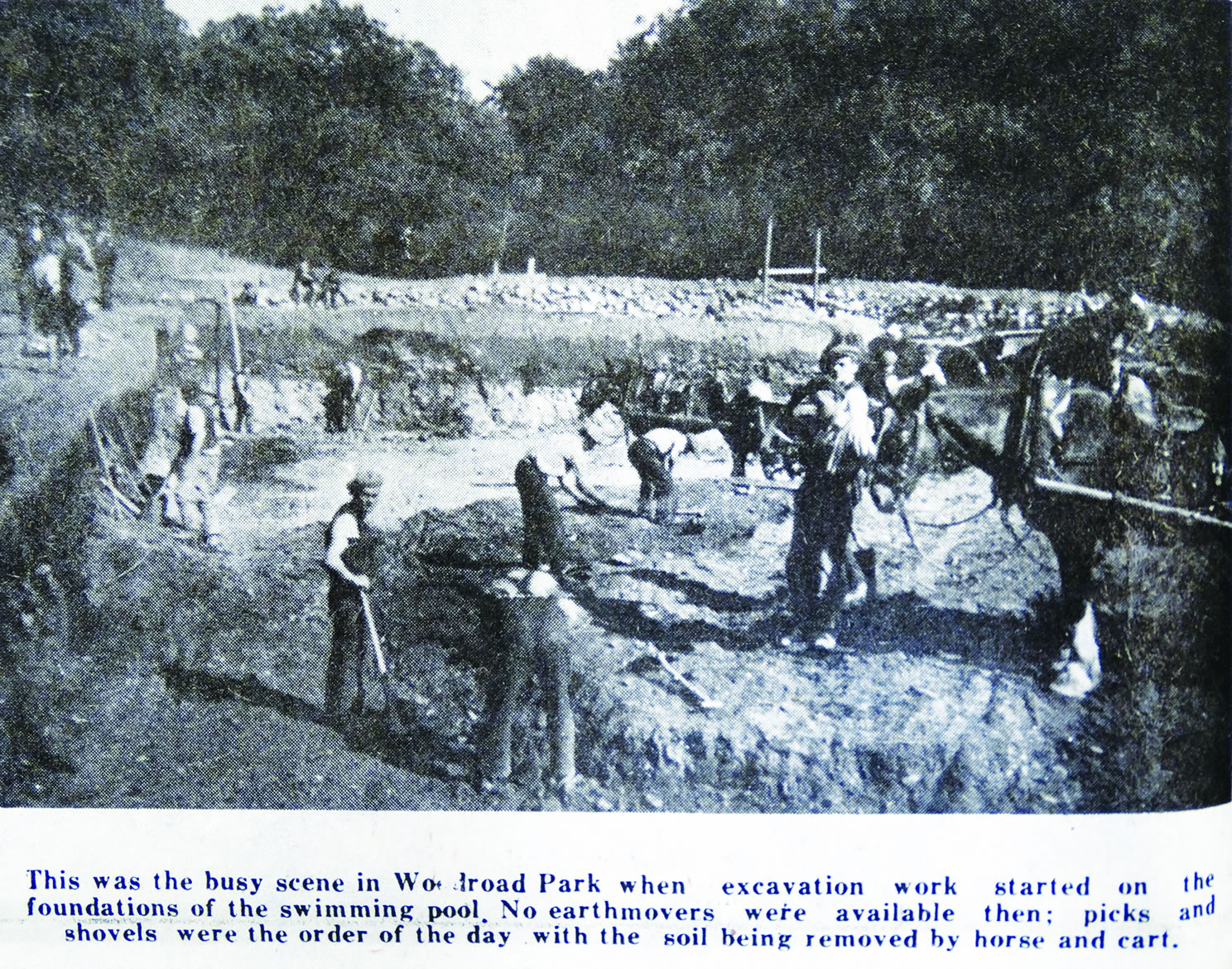
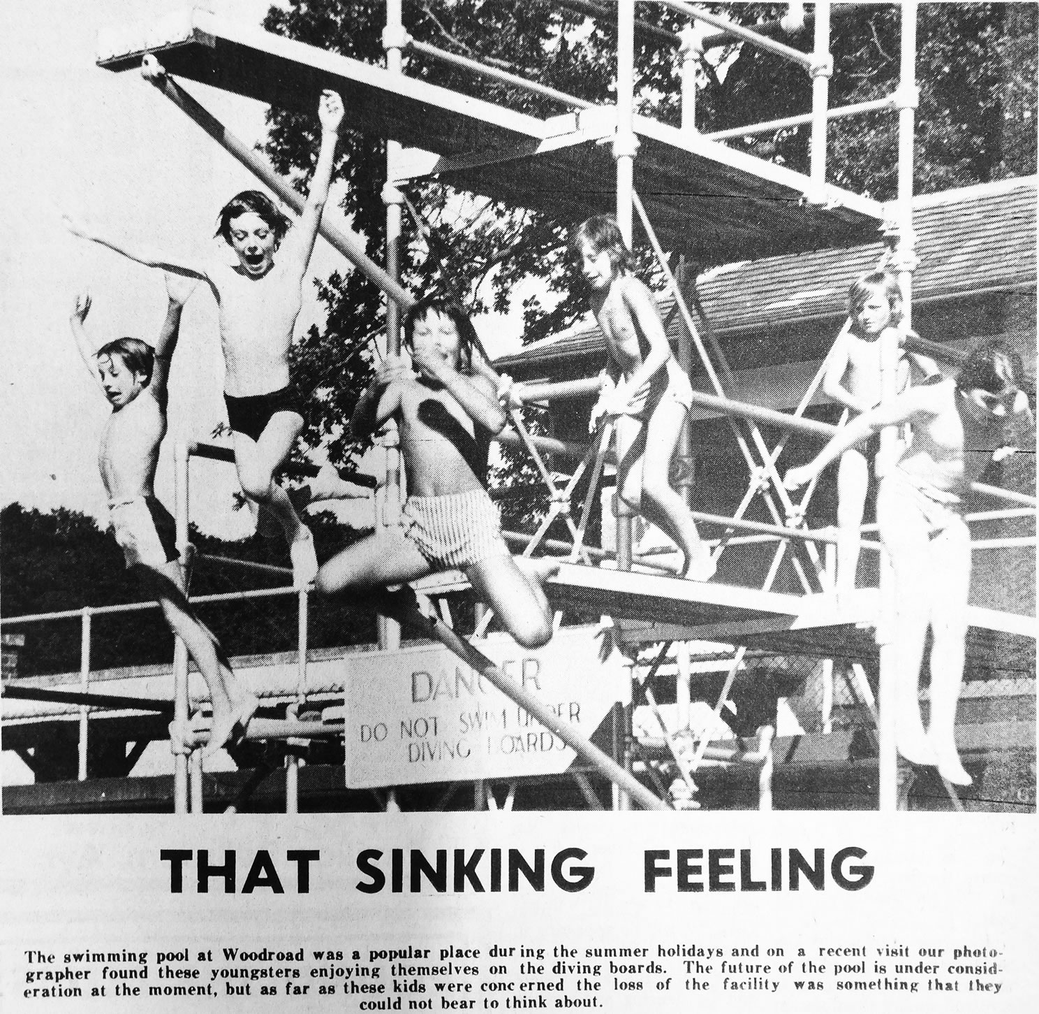
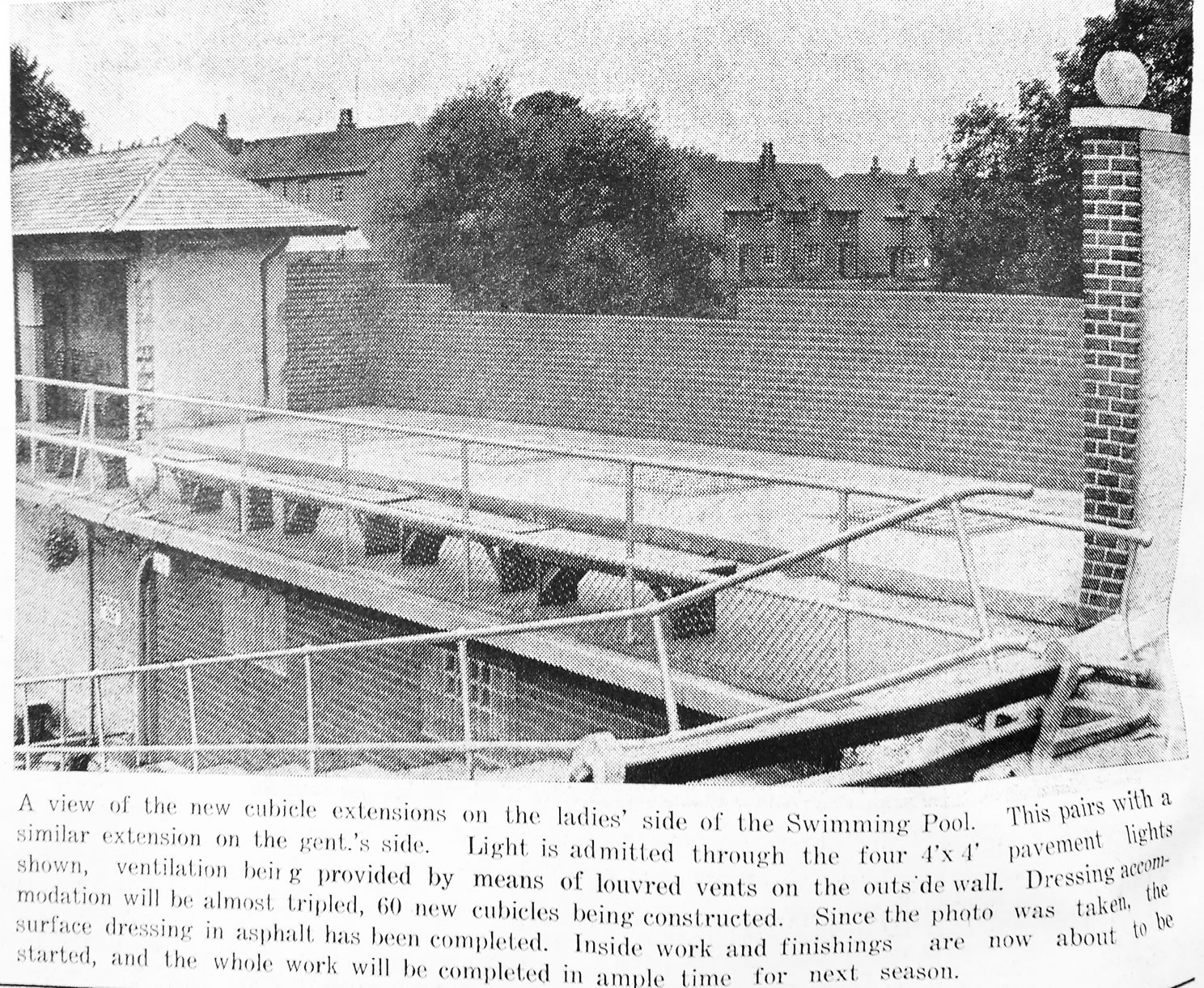
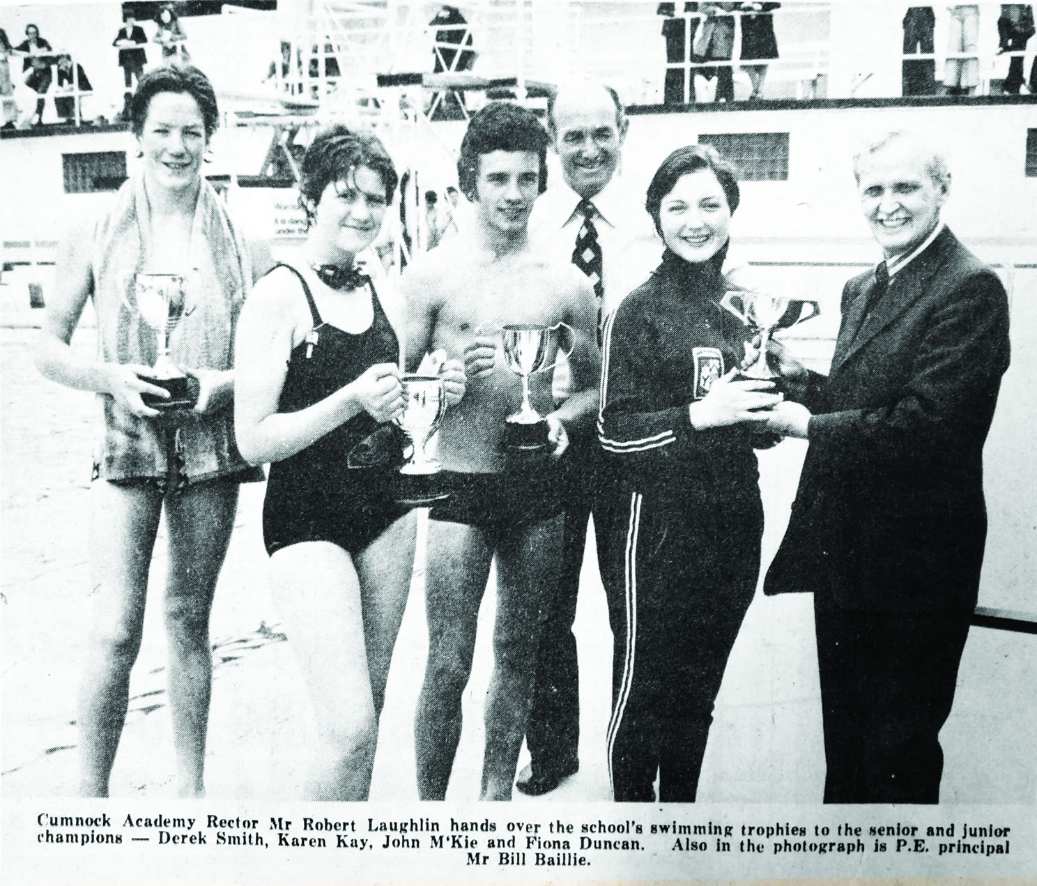
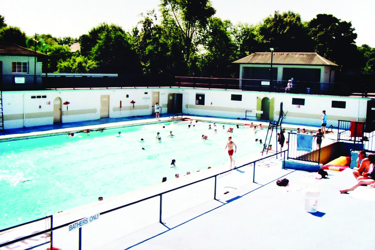
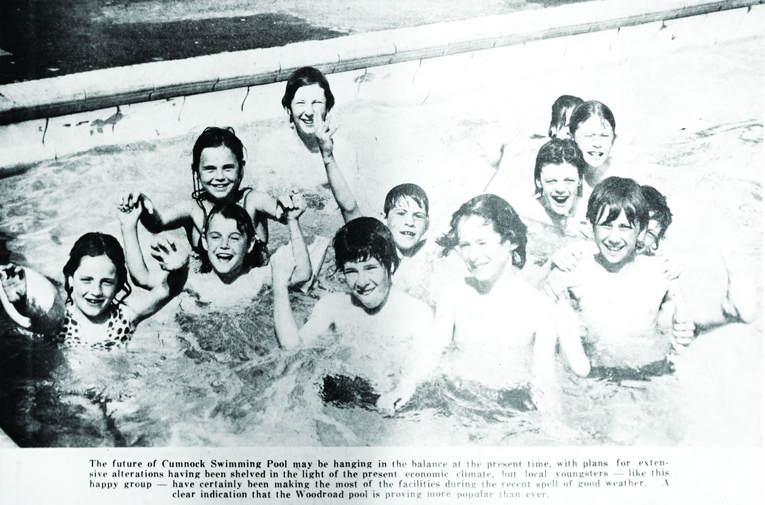
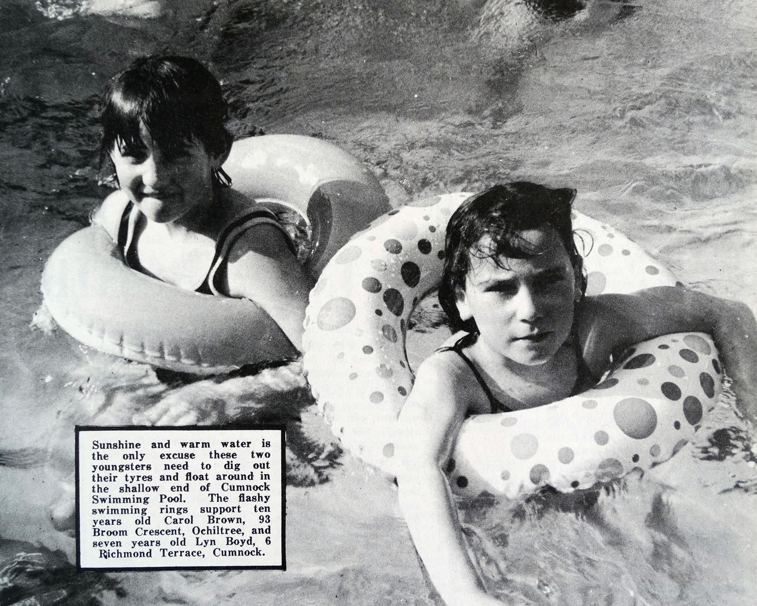
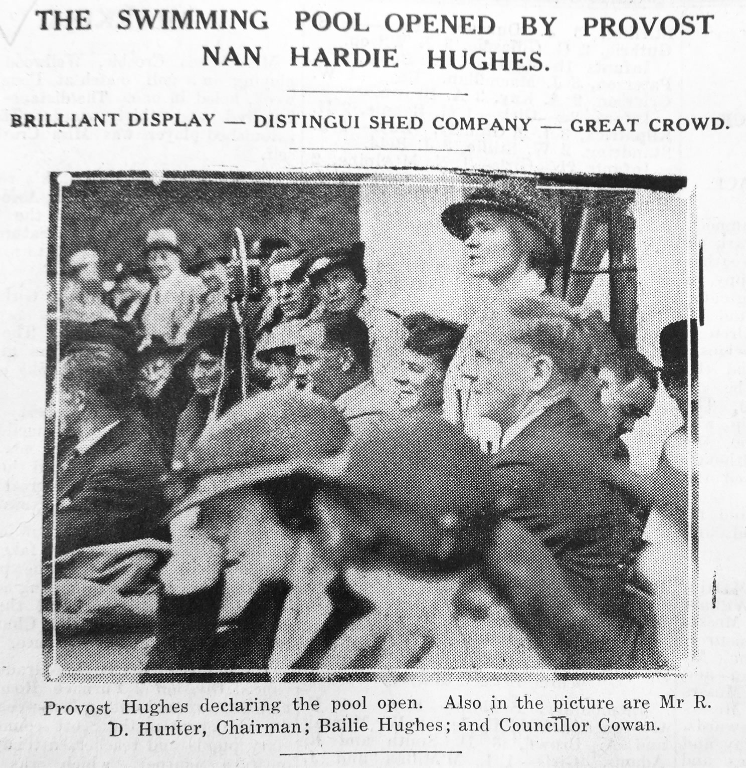
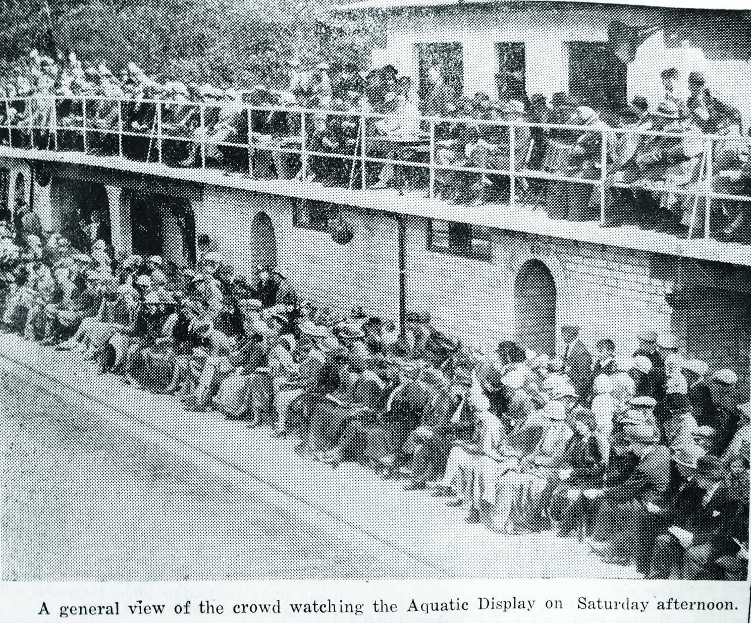
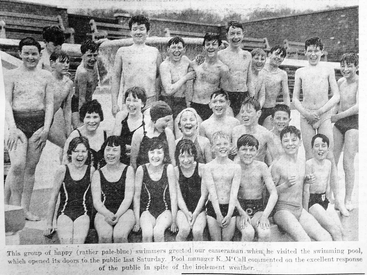
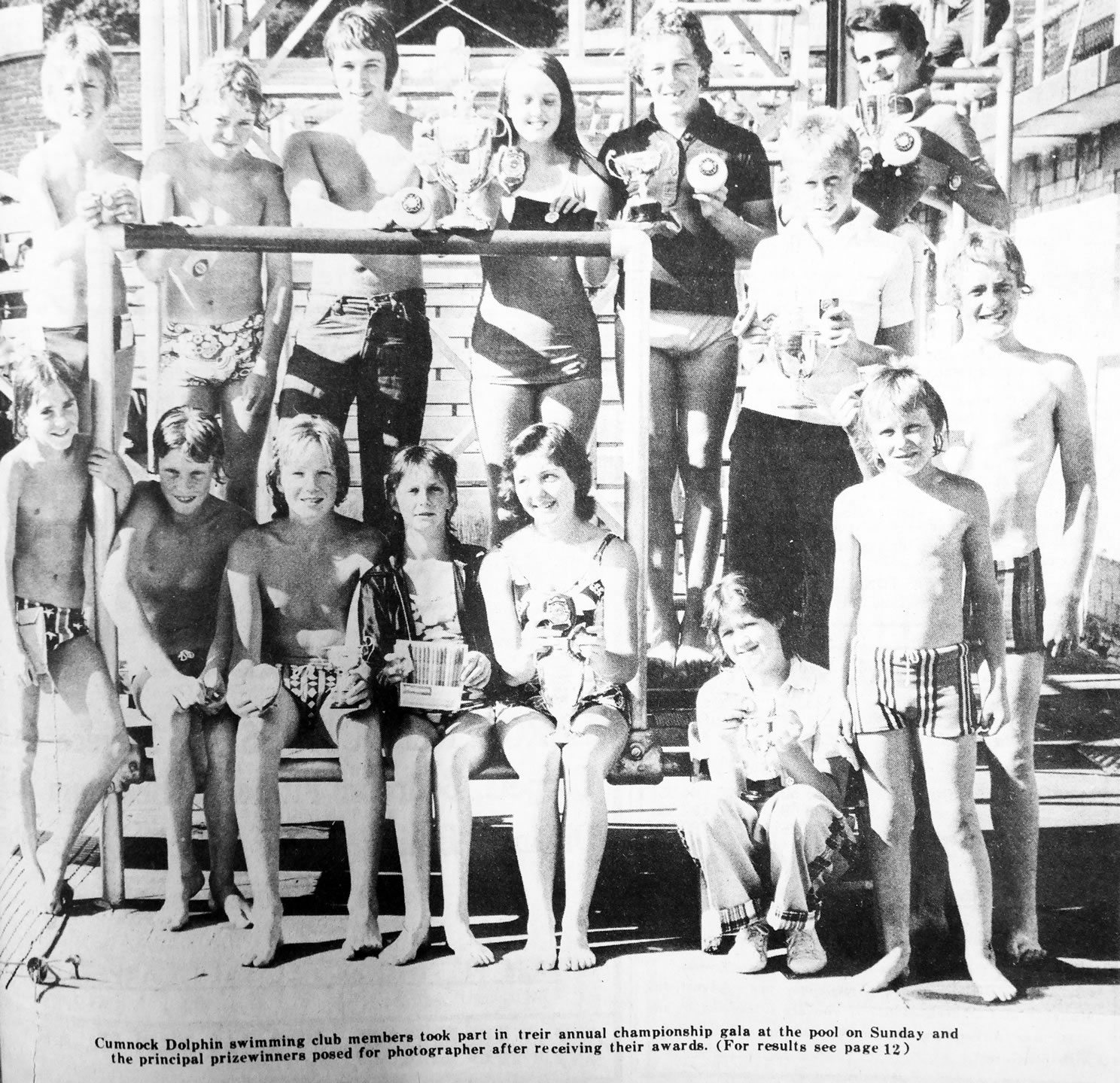
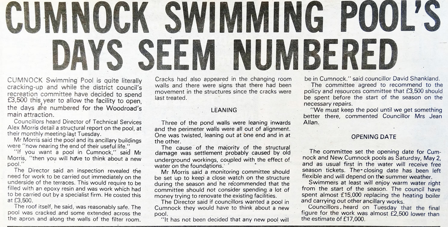
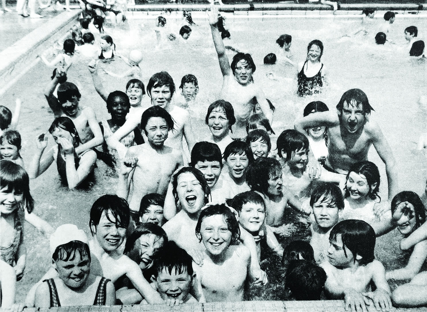
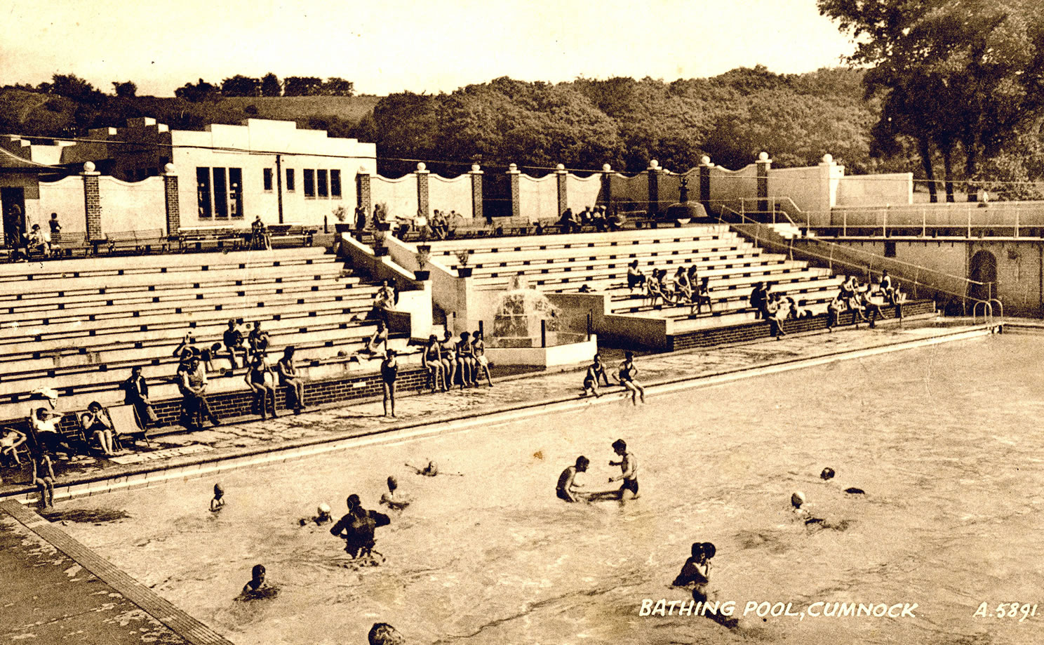
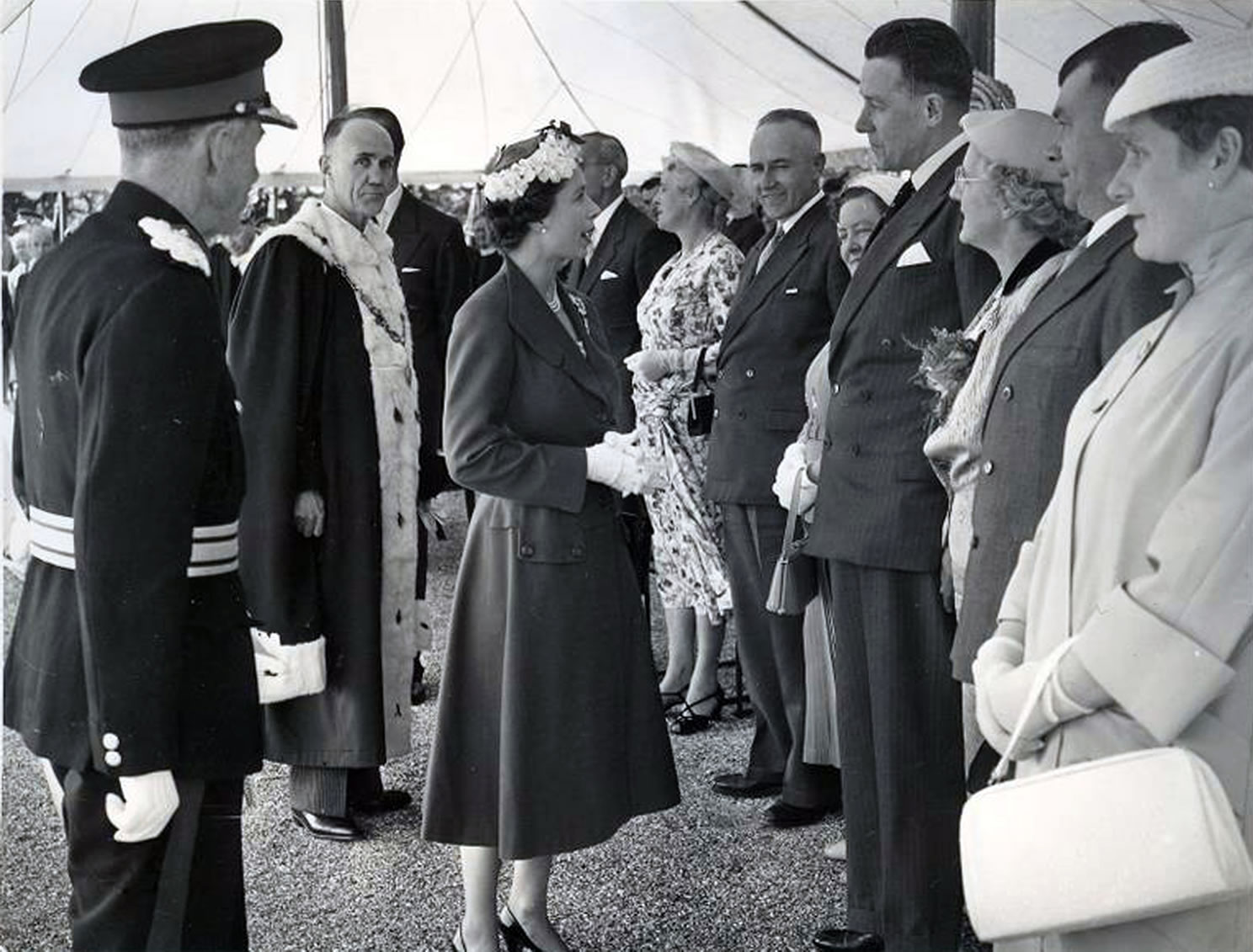
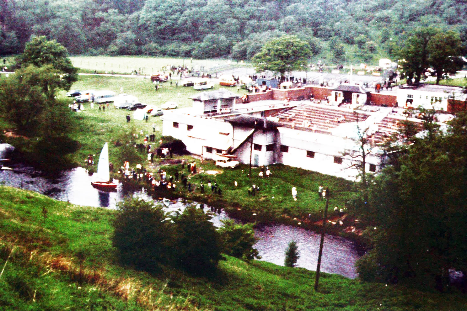
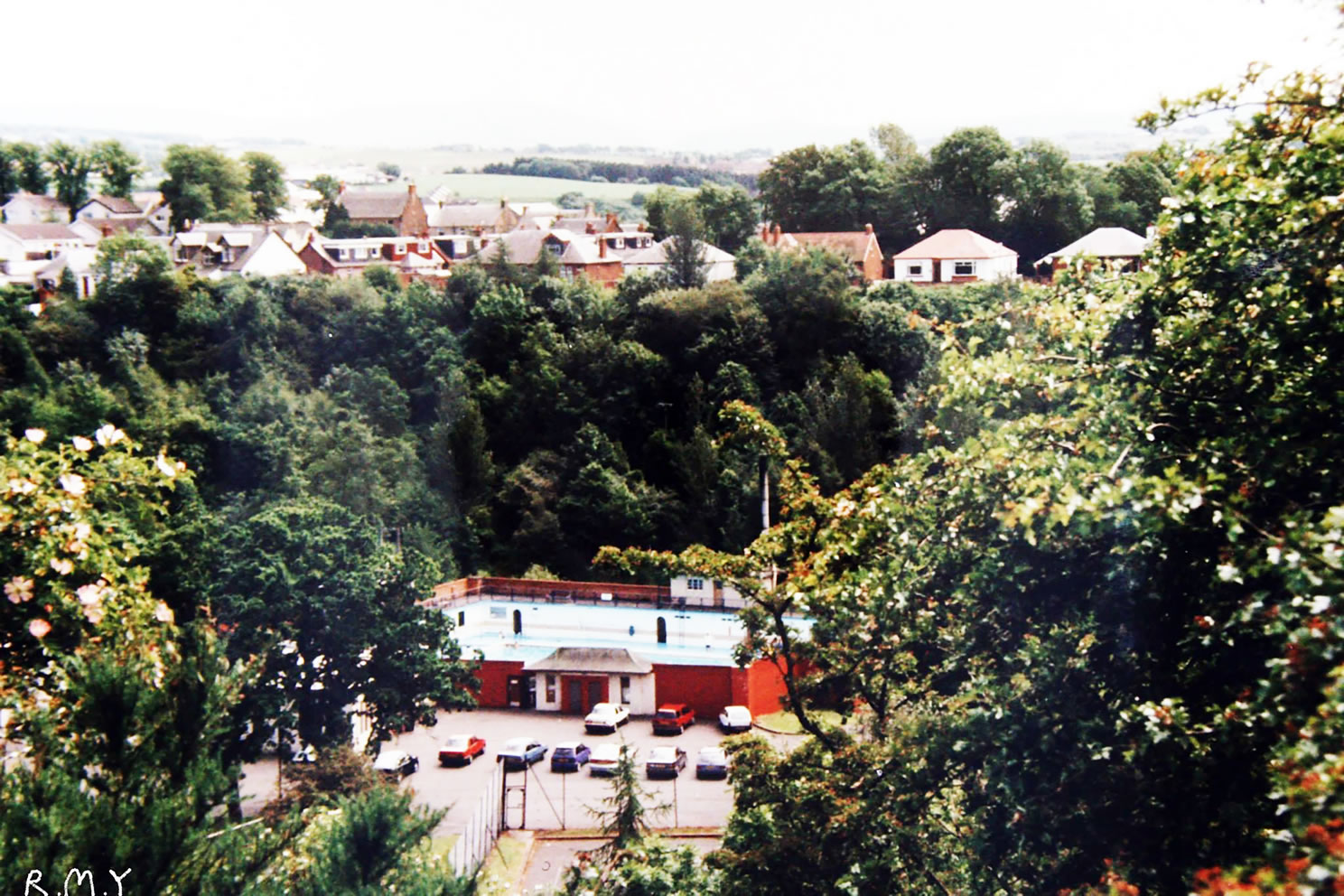
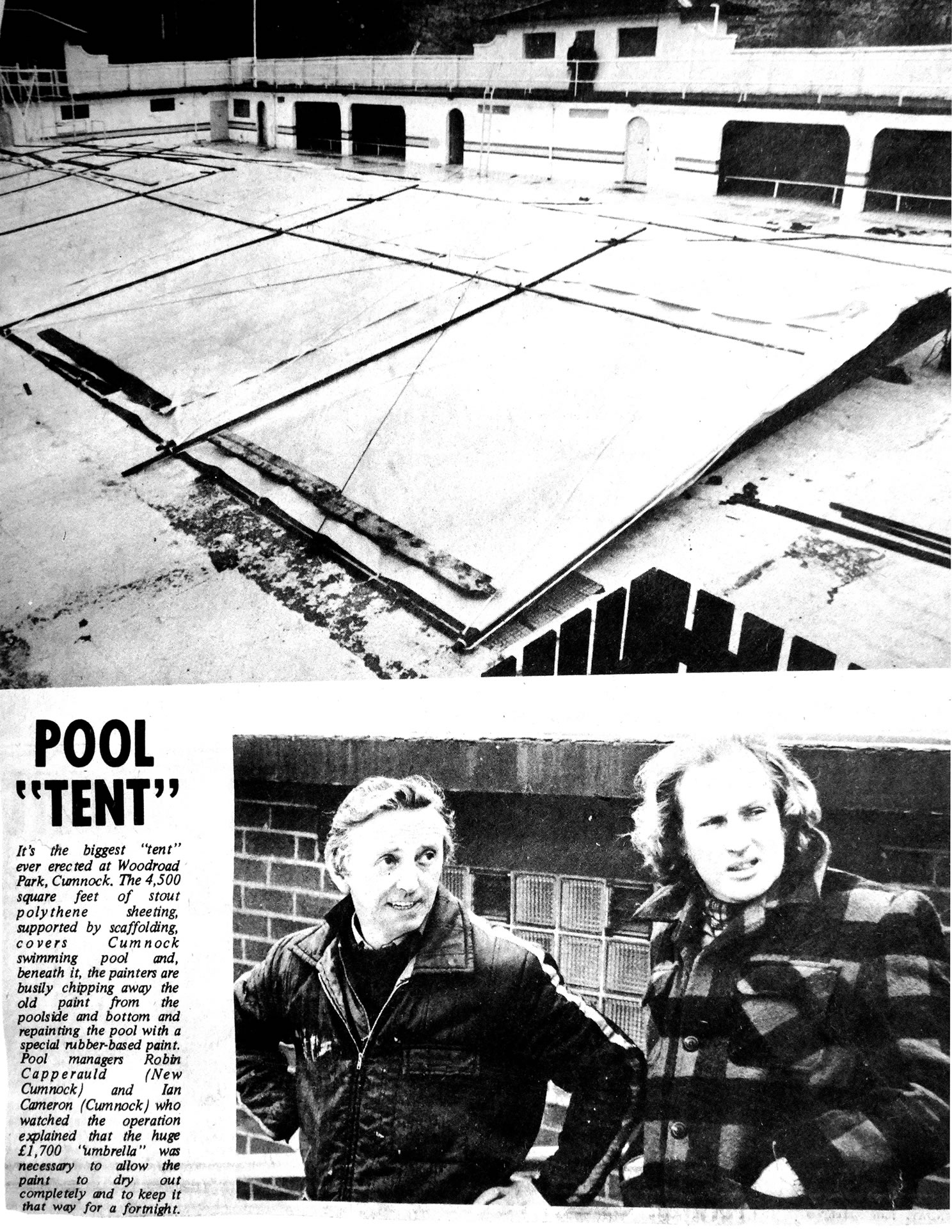
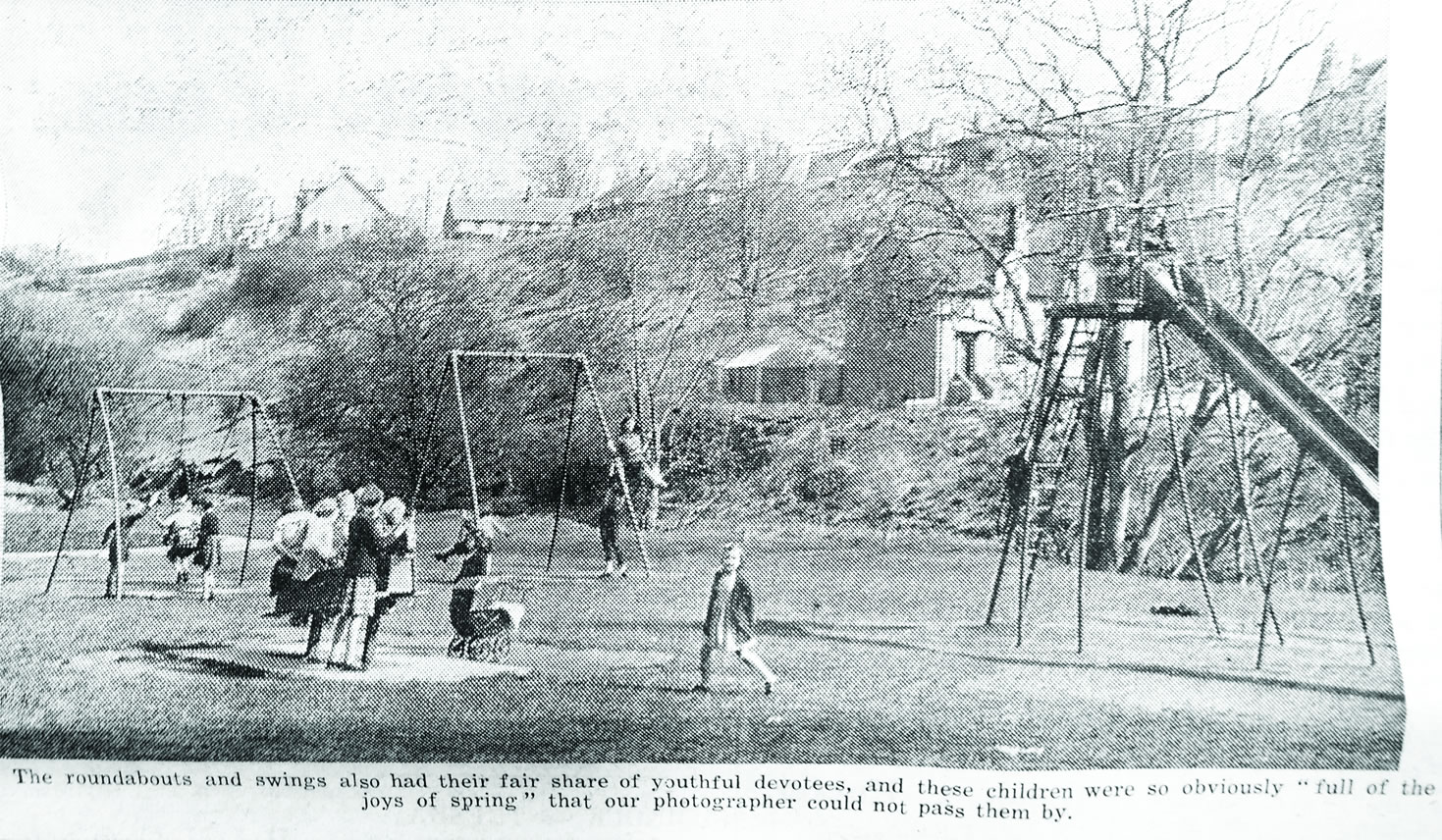
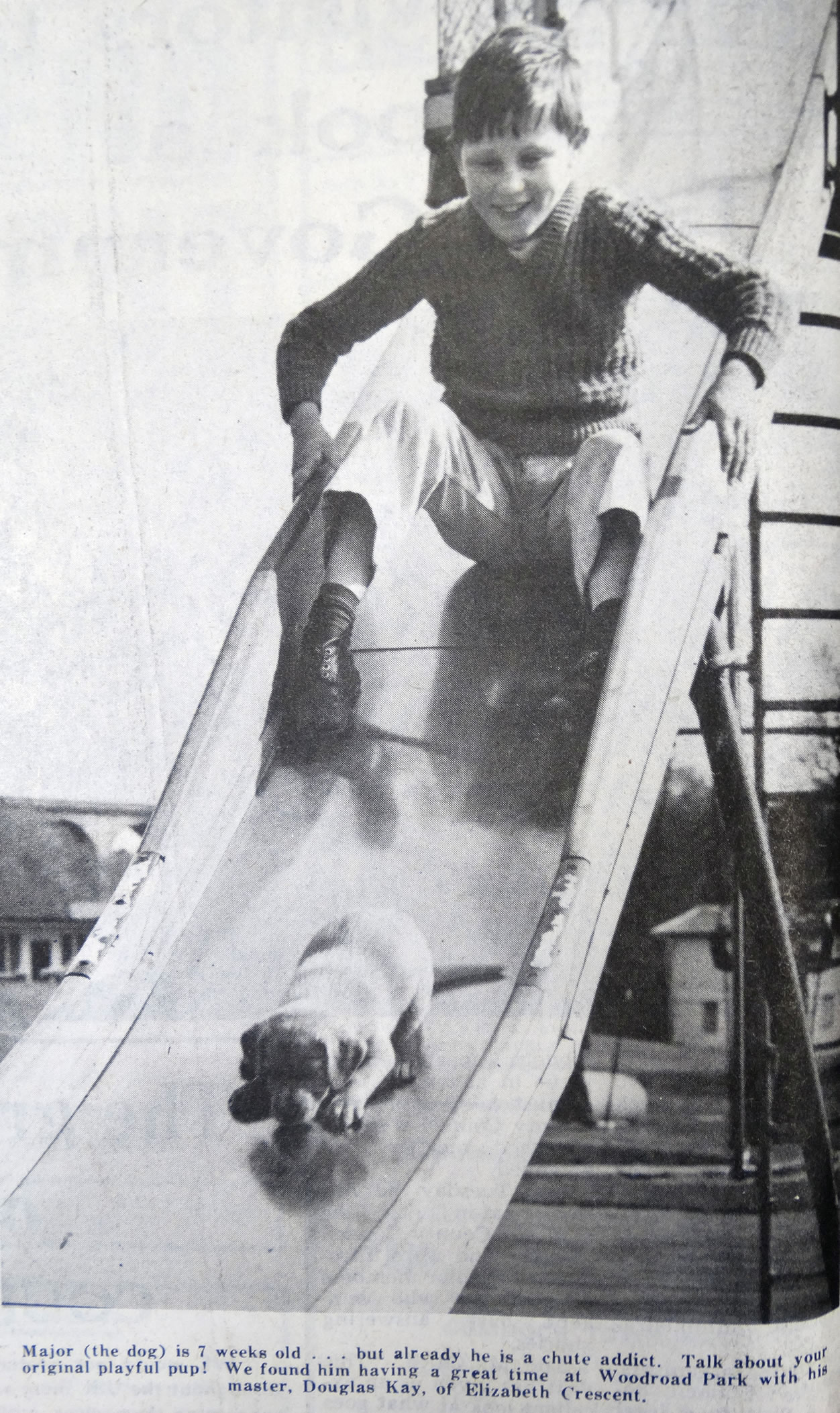
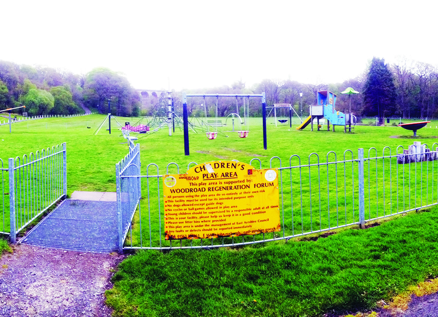
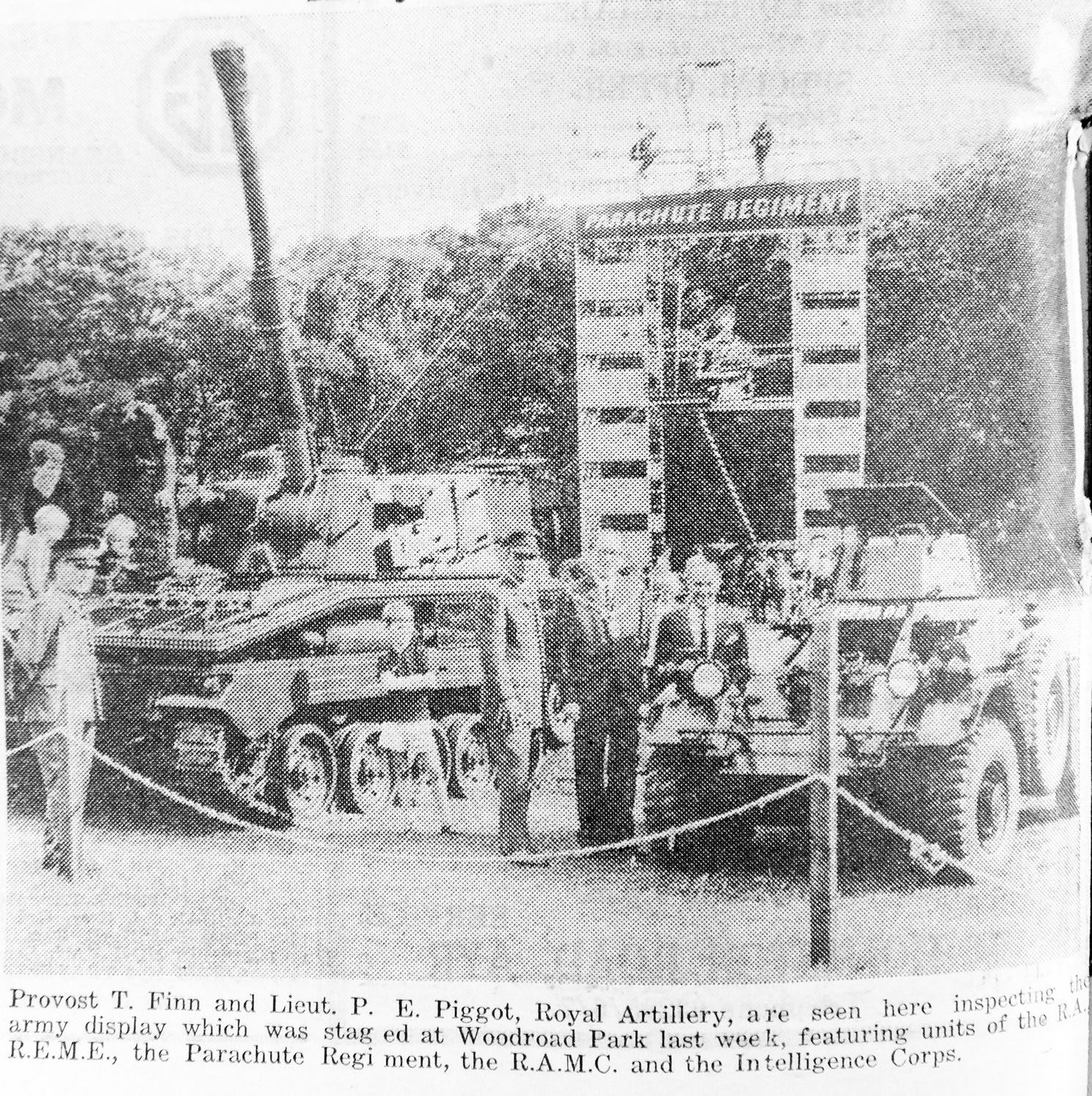
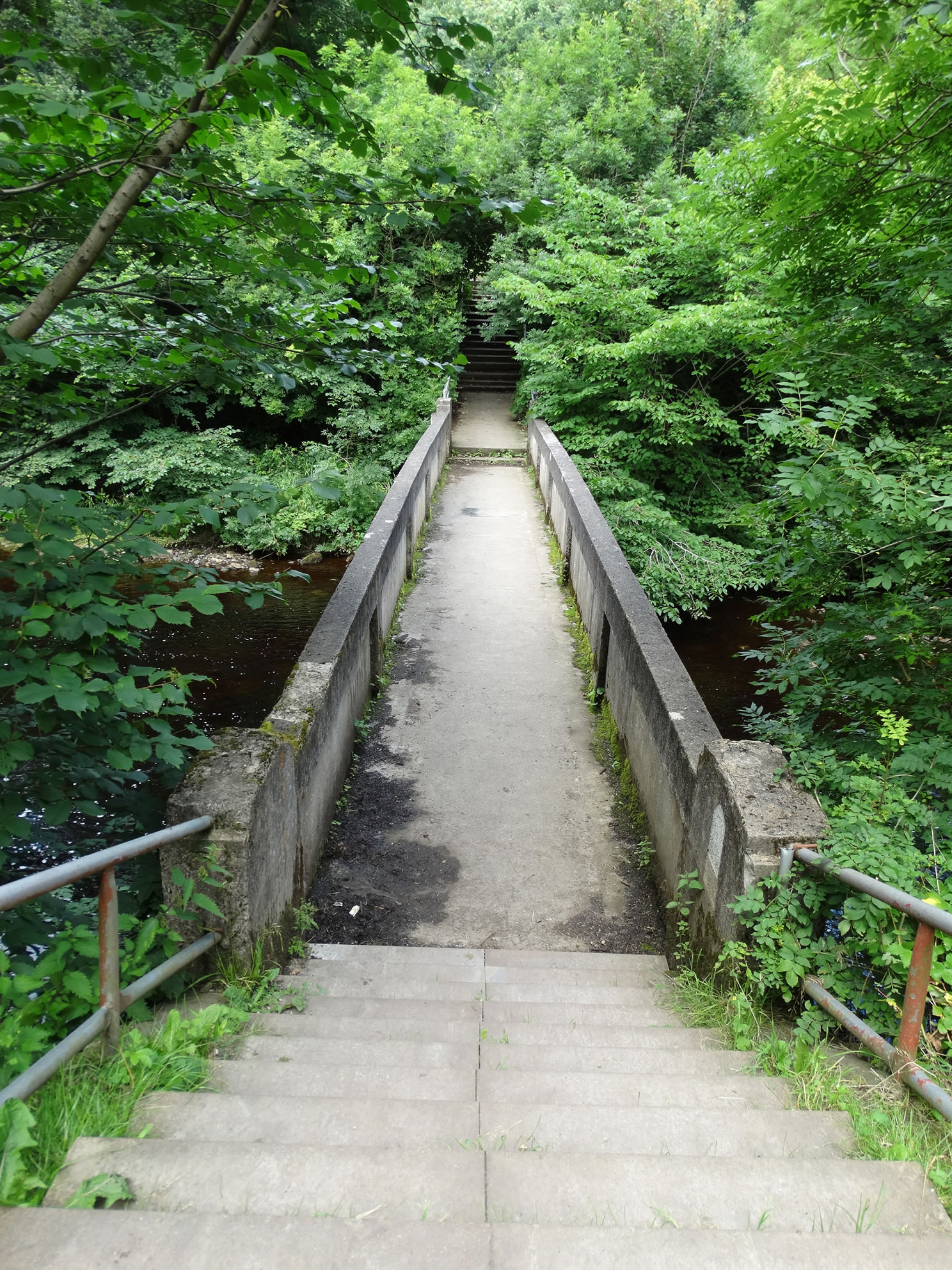
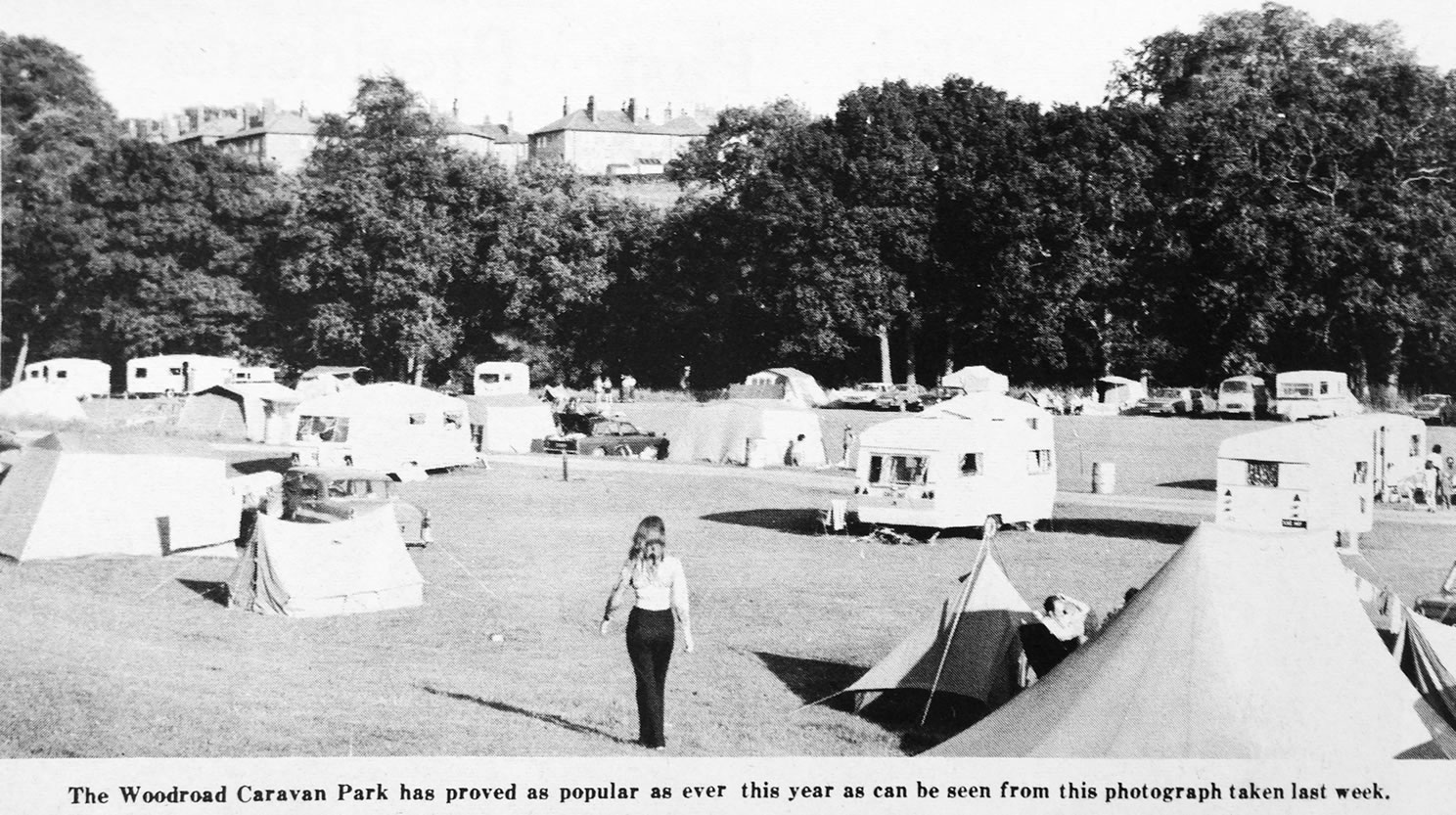
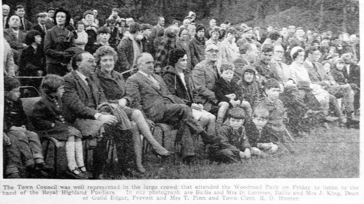
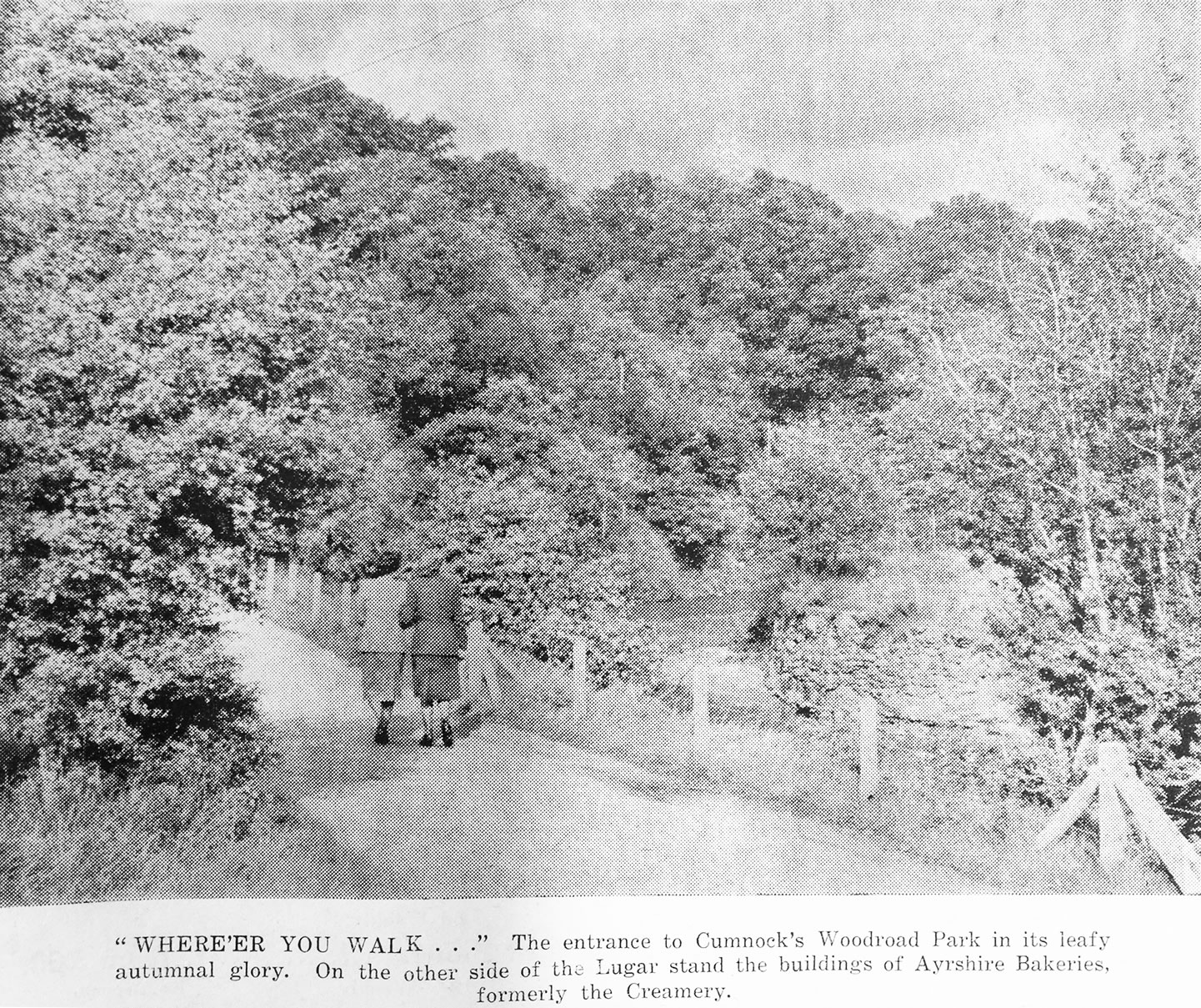
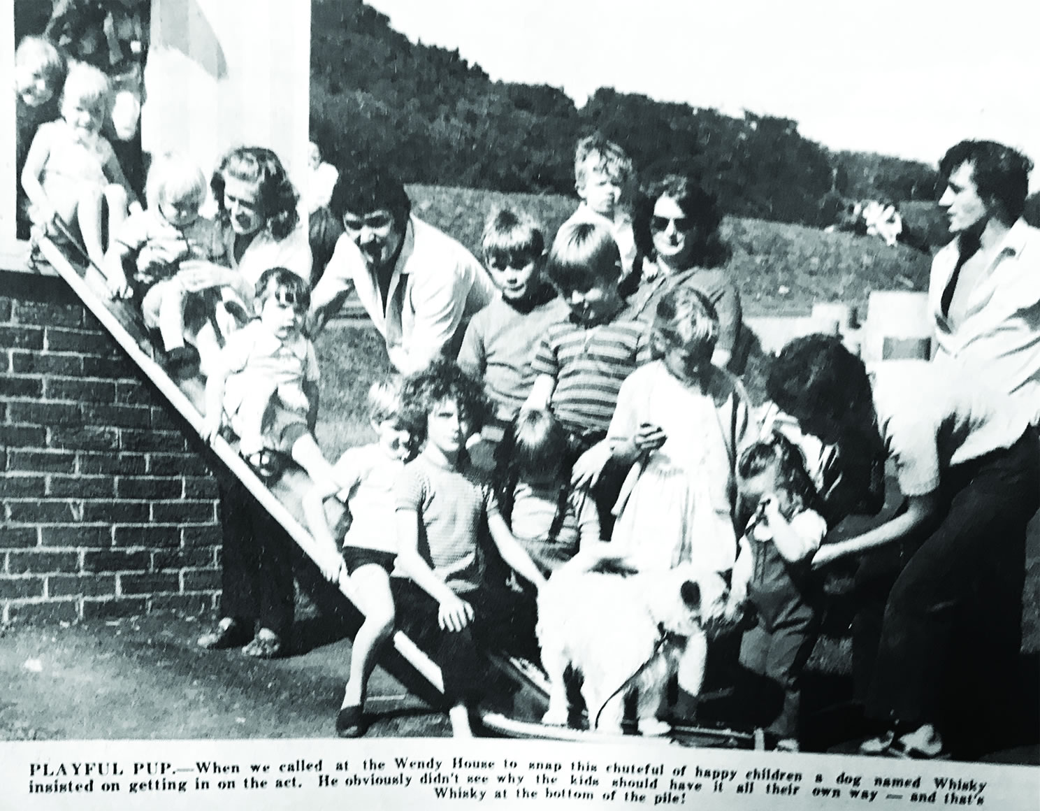
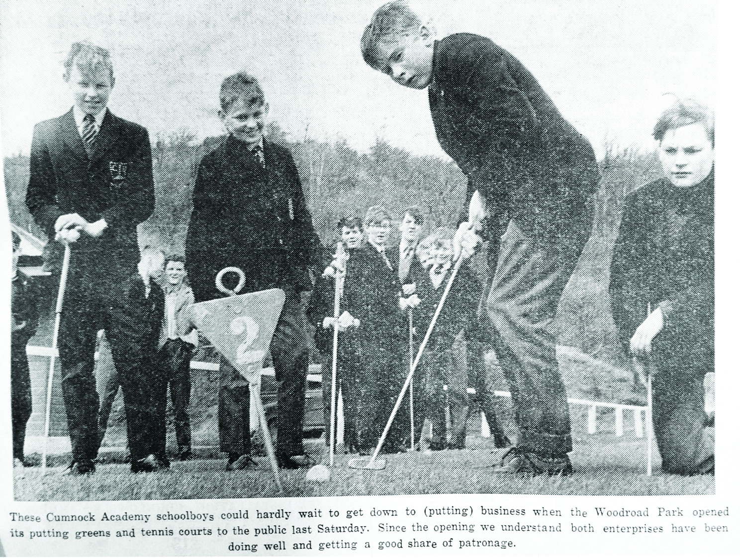
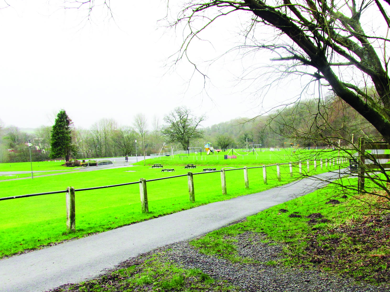
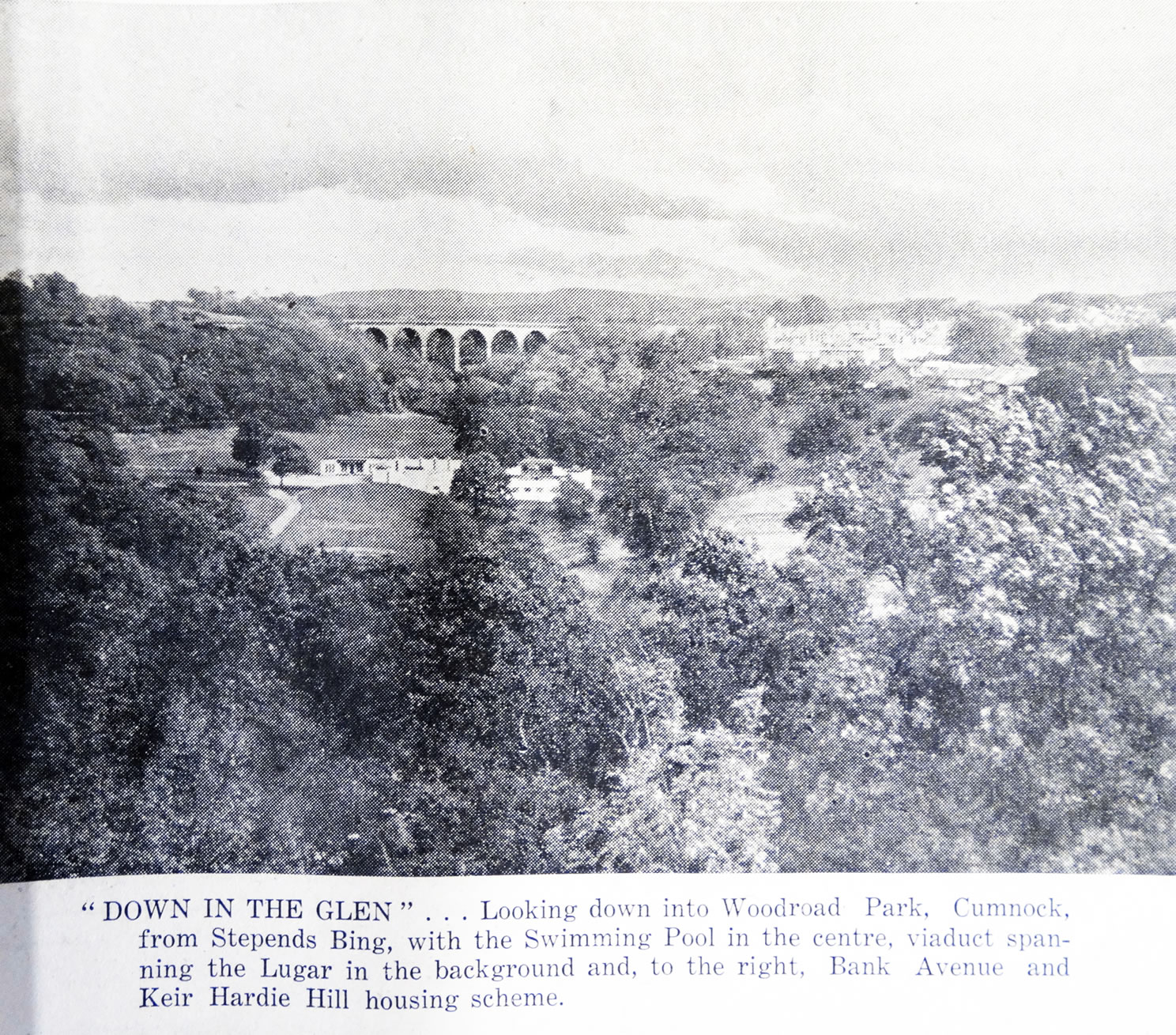
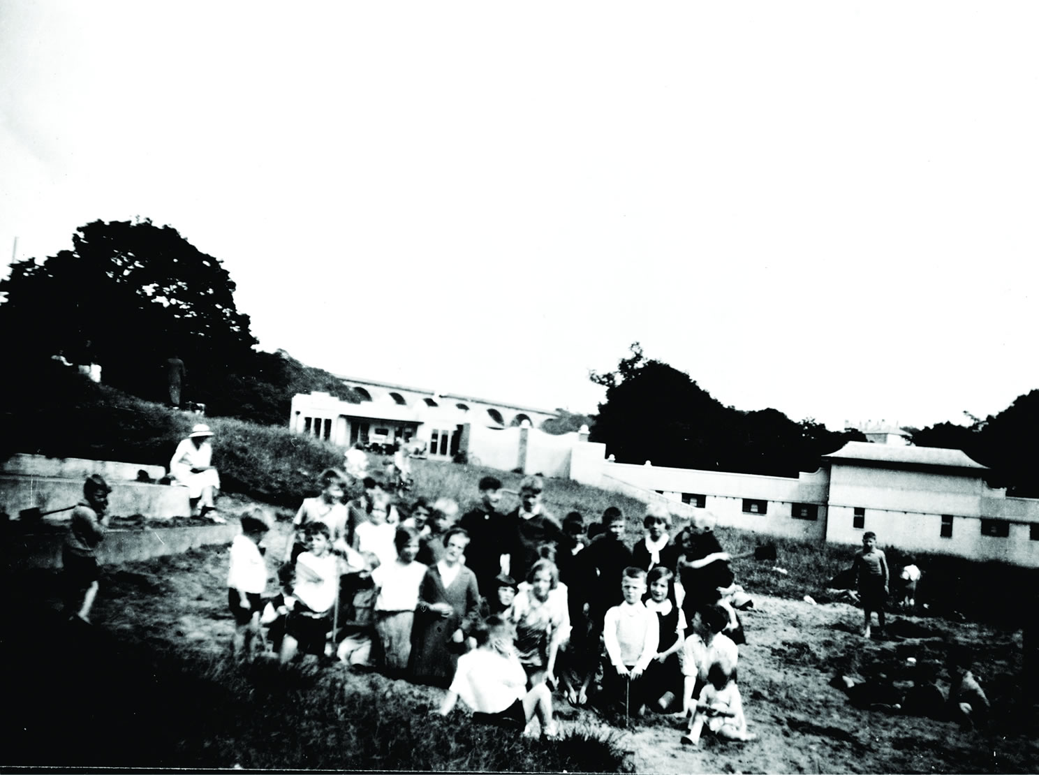
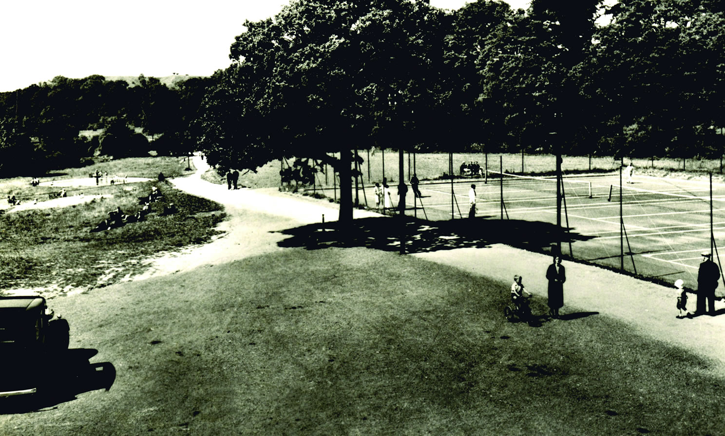
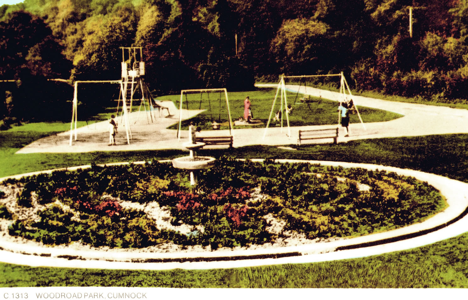
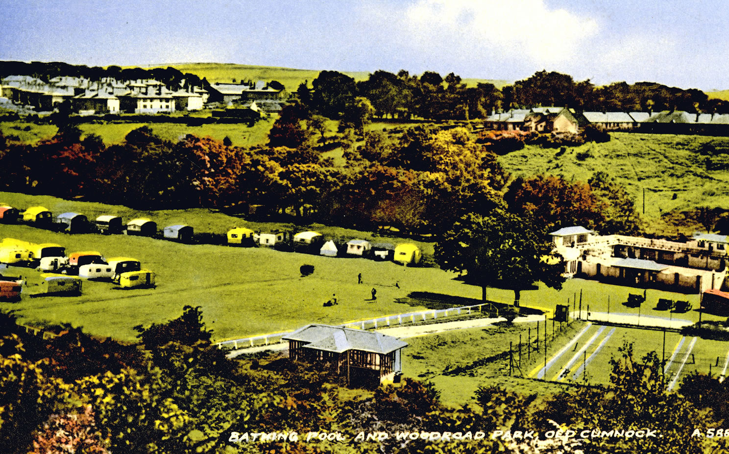
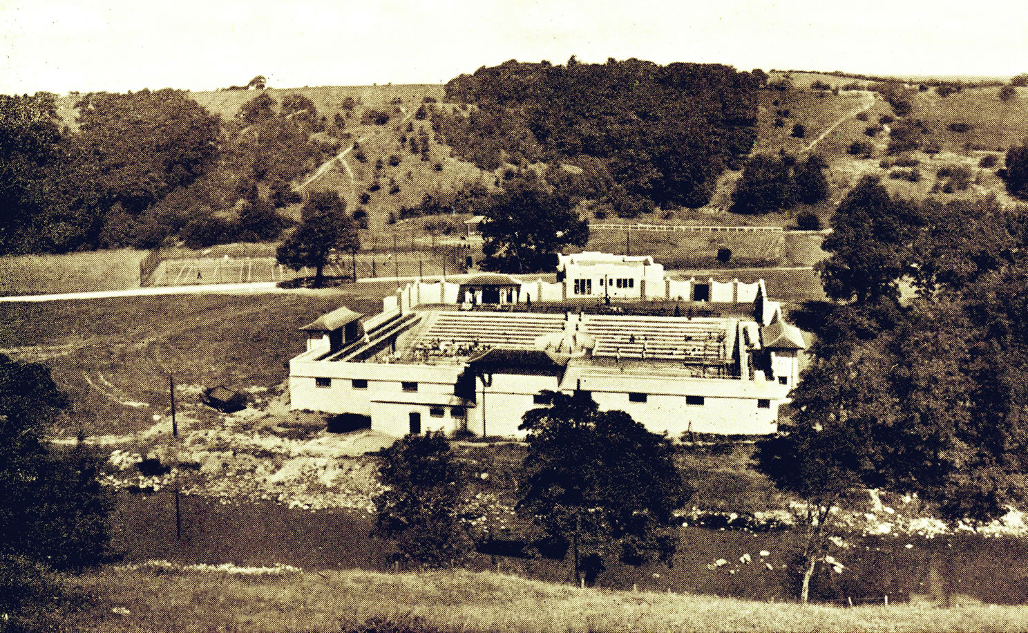
A selection of views and articles about the Woodroad, Swimming Pool and the surrounding area.


_fs.jpg)
_fs.jpg)

_fs.jpg)


_fs.jpg)
_fs.jpg)


_fs.jpg)
_fs.jpg)
_fs.jpg)
_fs.jpg)
_fs.jpg)
_fs.jpg)

_fs.jpg)
_fs.jpg)
_fs.jpg)
_fs.jpg)
_fs.jpg)
_fs.jpg)


